Collado Carroche to Cortes de Pallas -the long and winding path THIRD BLOG TODAY
So David Smith, (you know you’re in trouble now) what have you done so far? Speak up lad, speak up.
Beni to Relleu 24 kms
Relleu to Benifallim 30
Benifallim to Alcoy 23
Alcoy to Bocairent 30
Bocairent to Vallada 24
Vallada to Benali 29
Benali to Collado Carroche 29
189 kilometres Sir. About 118 miles Sir.
Well done boy. What a son, what a son, what a bum, what a son, you’re just a – boom boom boom- lick spittle. Lick spittle. 7 ‘o’ levels. Thank you Lord for giving me such a son such a bum, such a son, such a bum. Good boy. Good boy. Good lad.
Thank you Sir. Please don’t hurt me.
The alarm went at 6am. Charge running down on my phone, iPad and Gav. Found some batteries for Gav, thank God. Don’t do this walk without a gps device with a GPX track on it that keeps you on route. It’s essential unless you want to get lost for months.
31 kilometres to do today and I’m determined to make it to Cortes de Pallas. I rang a hostel when I got a signal yesterday on top of a hill and I’m booked in. I need a good meal and a warm bed. I would have crumbled if I were Shackleton. I strapped on my headlamp, dismantled the tent, had a bounty bar, salted peanuts, two dates and water for breakfast and set out into the cold wind. Wrapped up in my Auntie Vera knitted hat, cashmere scarf gifted by Liddy Lin, waterproof jacket gifted by Tesco for £18, thermal jumper, Blades shirt, shorts and knickers. No commando capers today.
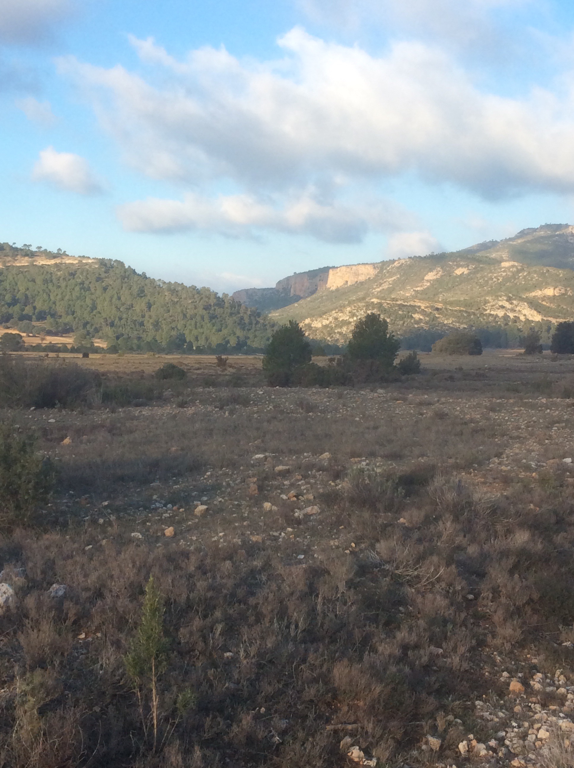
I set off at 6.30 in the dark and marched with grim purpose. My duty as a trekker and my necessary purpose as a man. It was a very cold wind which made me wince. My chest was bad last night but a decent length of broken sleep had gently waved it away. Only to return I think like an unwanted neighbour who keeps running out of sugar. The sun eventually crept between the horizon and the cloud cover, lighting up the vapours in the valleys.

Apart from a couple of four wheel drives who have passed and stopped out of morbid interest to assess my preparedness for these conditions, I haven’t seen a soul in the last two days. I’m going to make that warm bath and soft bed tonight if I have to drag myself there. In the half light I spotted some headlights slowly snaking up the hill towards me. Must be hunters at this time of day. As they eventually arrived I spotted rifles in the back of the cab and gave them a friendly wave. Thought it might extend my life expectancy longer than a V sign.
The track dropped down and came to a real, if poorly maintained, road which according to Gav I should follow.
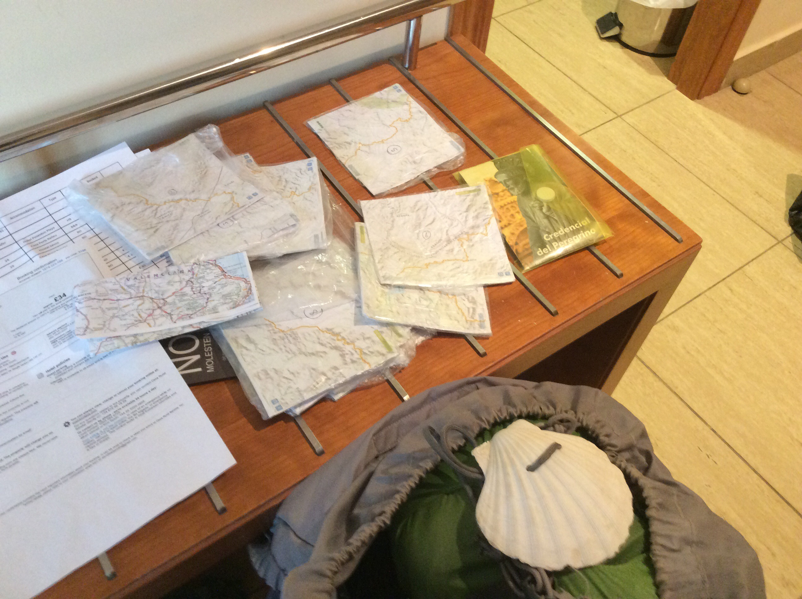
Don’t want you to think that I’ve just relied on Gav for prep for navigation on this trip. I did weeks of prep, including downloading over 100 small maps, big scale, and read several blogs in detail of people who had walked this track. I’ve done a spreadsheet of where I should be when and whether I’m camping or hosteling that night. I’ve photocopied smaller scale maps so that if it snows badly or is otherwise horrible I know which direction to escape in. The scallop shell on my pack indicates that I’m a pilgrim not a vagrant and the document far right is my Pilgrim Credentials. It’s to get folk to treat me courteously as I treat them. I have a list of every hostel and spring on the route. Don’t do this if you’re not prepared. It can turn nasty even when you are prepared so improve your chances. And truthfully Harris is for overgrown paths, to cut a way through, but for wild dogs too. They can be nasty in one in a million cases. So can Harris.
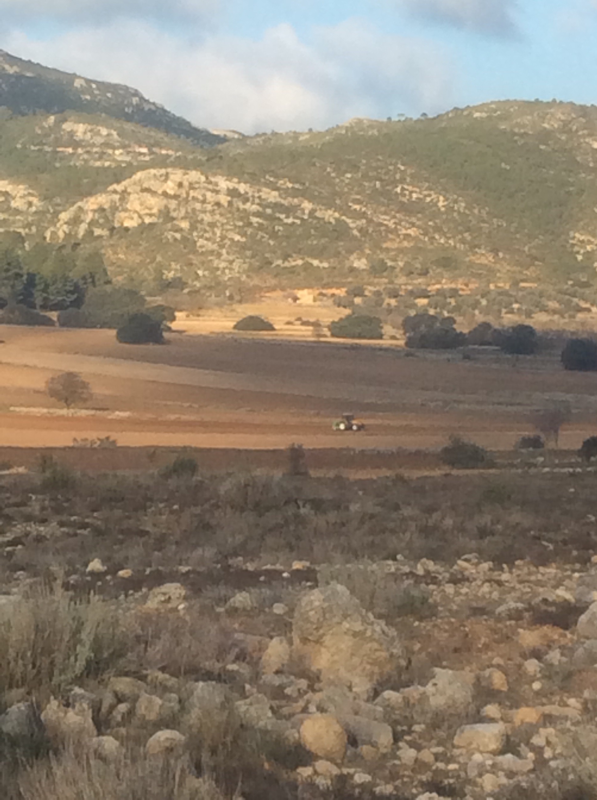
So down to the bottom of the mountain road. And the valley floor opens out into a tight, but not insignificant, agricultural plain. Strewn with boulders.
How do they farm this land? By clearing it. Back breaking, by hand, diligent rock clearance. So that folk like this can plough the land. The second contact with humanity today.
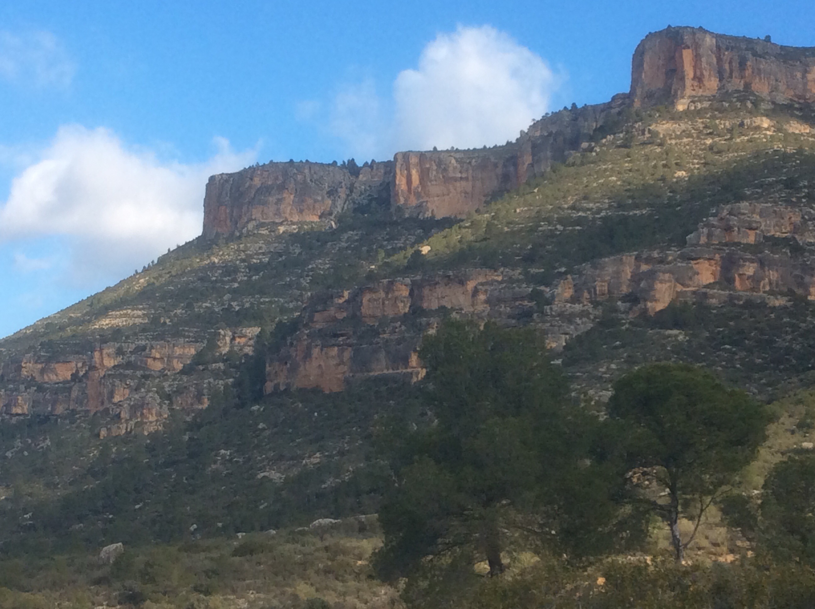
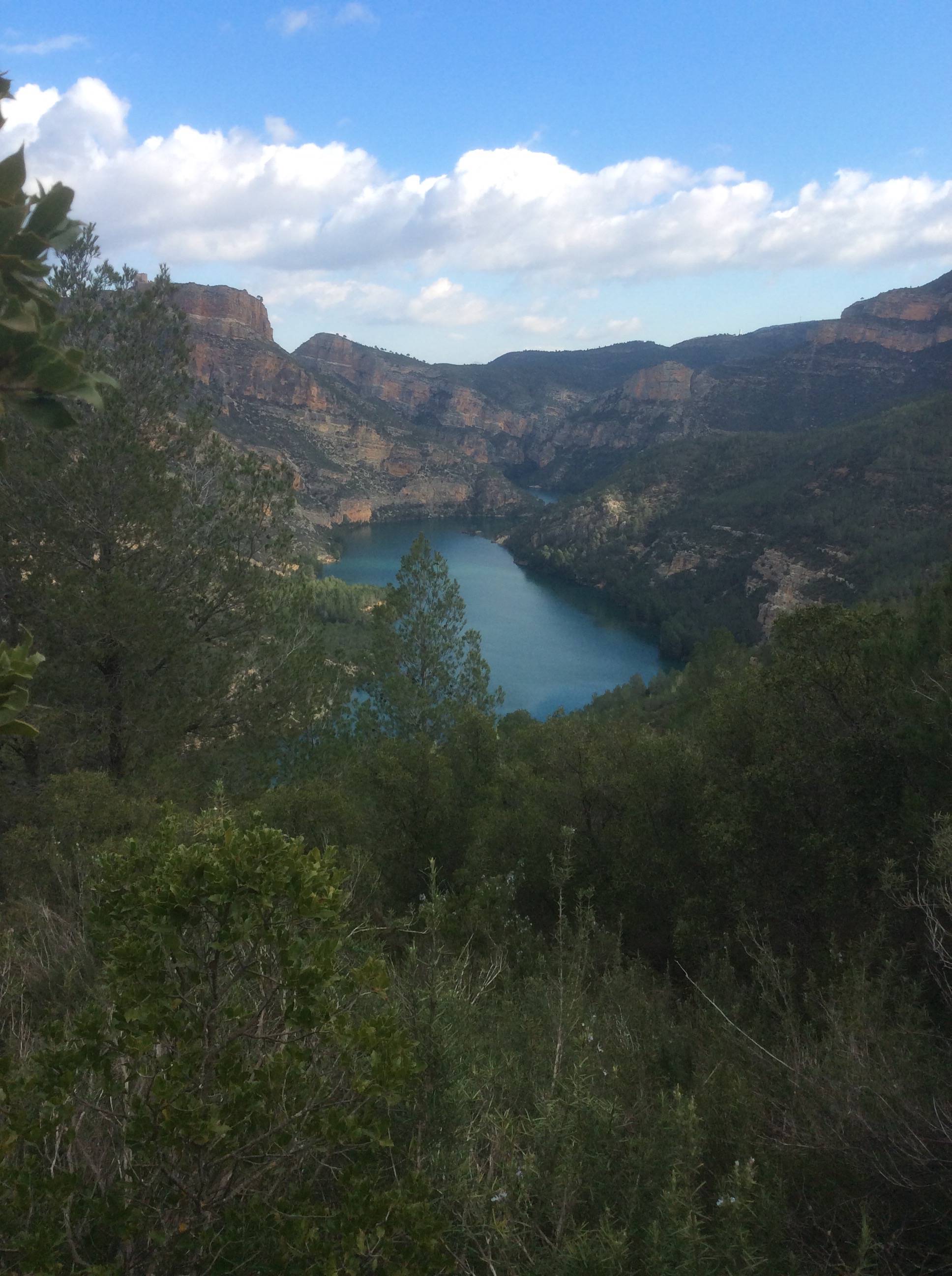
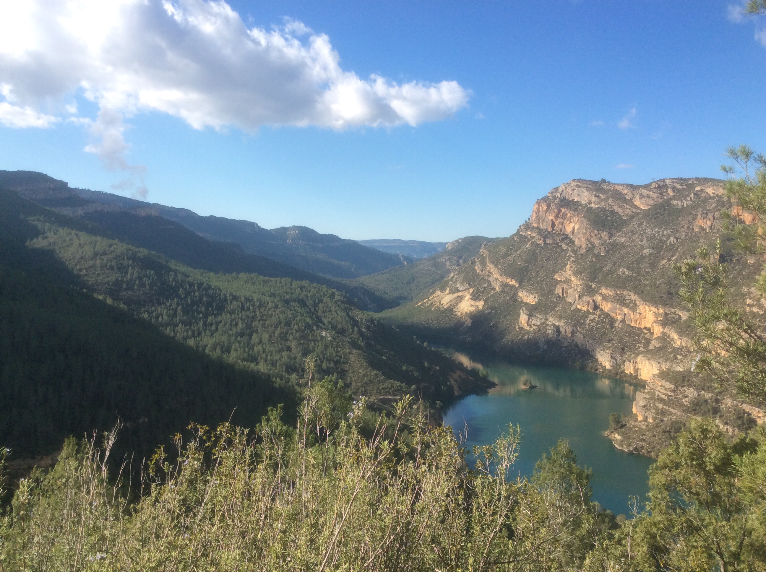
The road became a track through wilder land and heads north for 12kms before turning east along the side of a mountain range overlooking a man-made lake and snaking along for another 12kms to Cortes de Pallas.
This is looking at the buttress I have to go around to the left, 8kms before turning to the right and heading east.
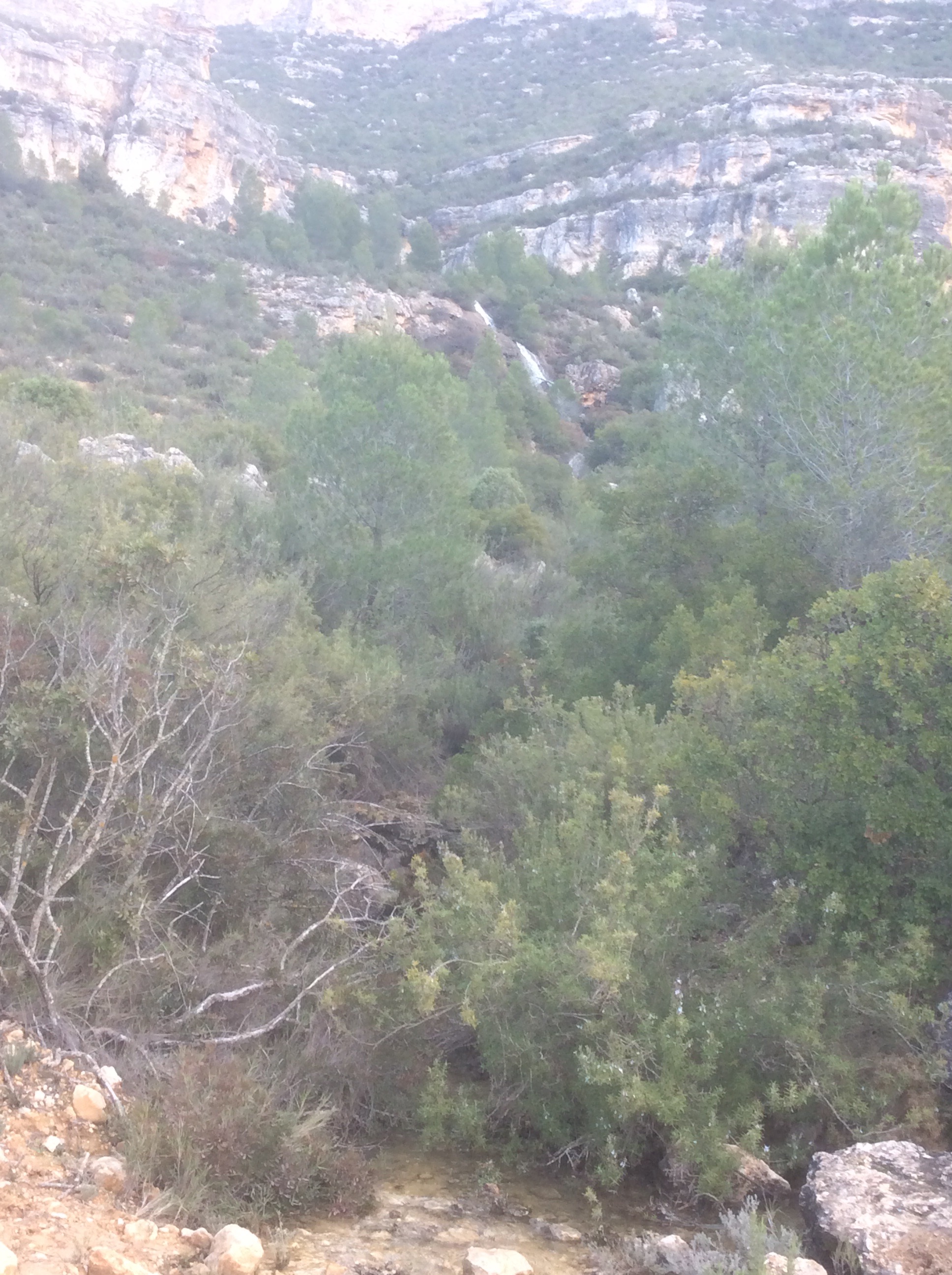
Halfway to the easterly turn a waterfall, possibly unheard for a few years, pours down from the buttress. Beautiful. Fill your flasks.
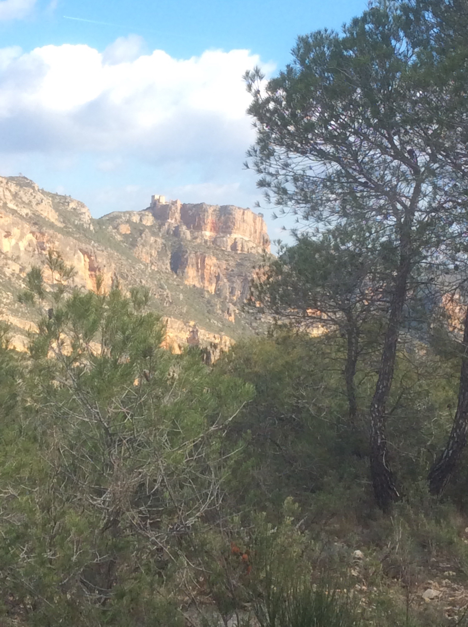
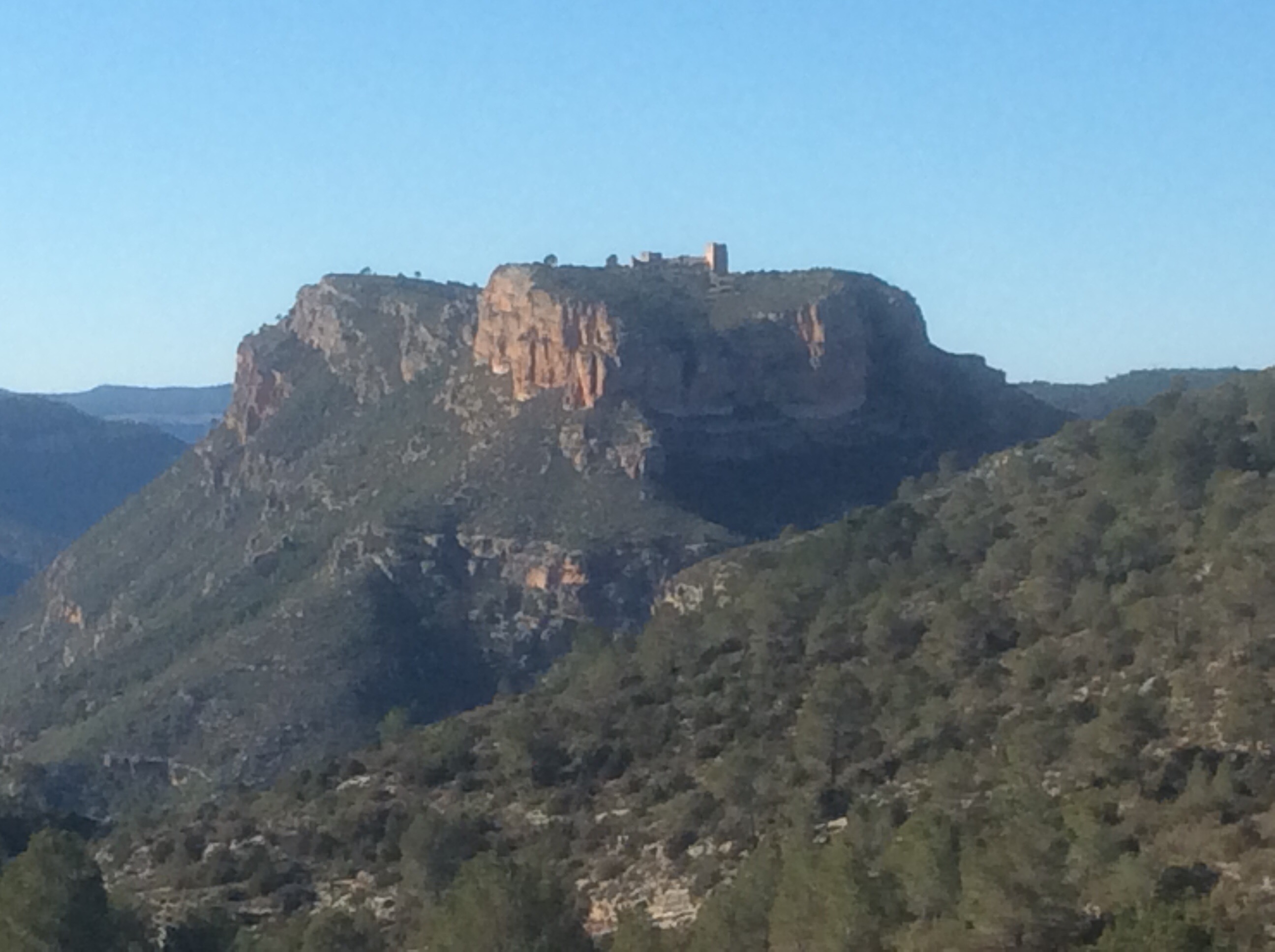
Hitting the T junction I turned right, climbed halfway up the hill and headed east. The views, with an ancient Moorish fort on the other side of the lake, looked amazing.
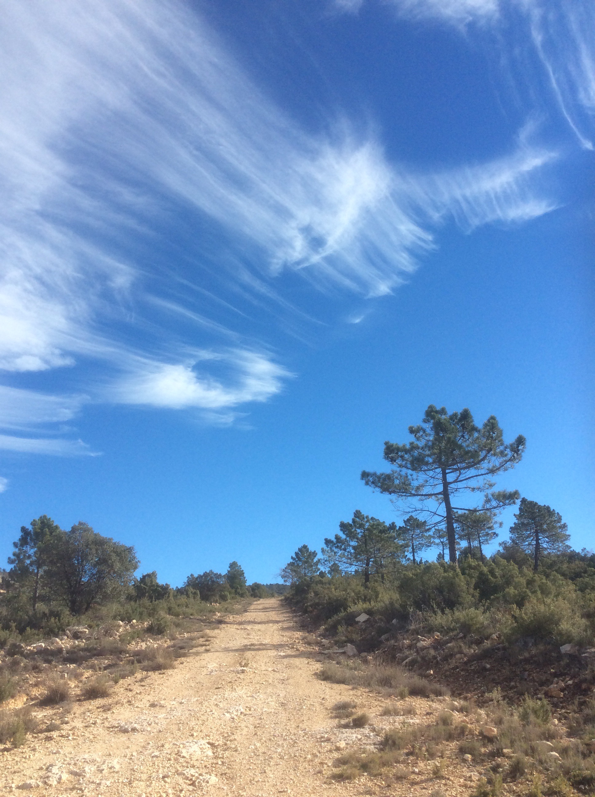
Even the clouds looked great.
And the lake cartainly does.
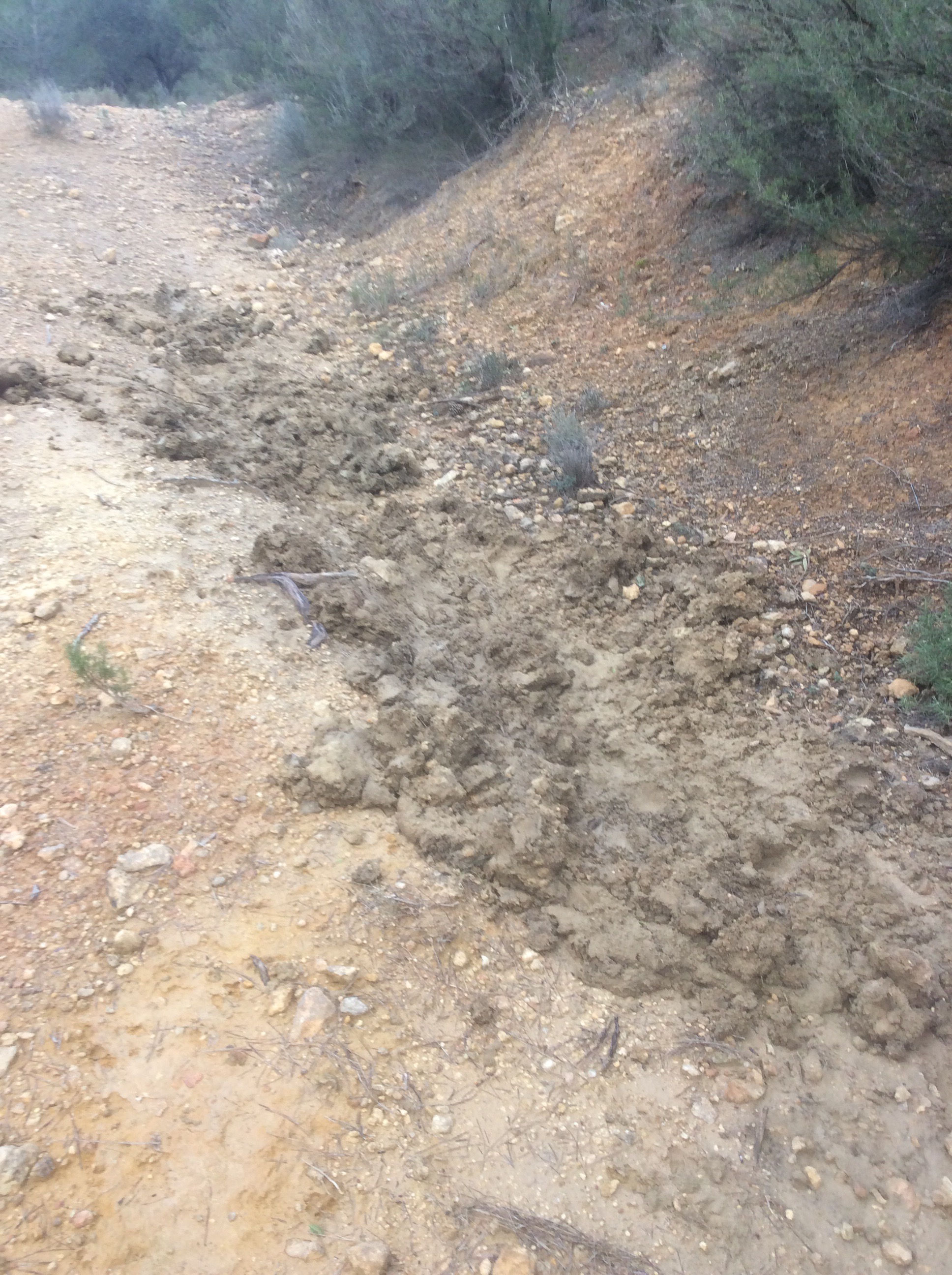
This is a long path that works it’s way up and down for a long way. It doesn’t take bikes, too many boulders, and it isn’t really a direct route from anywhere to anywhere. It’s a route that the GR7 made. So no-one walks on it. So lots of wildlife uses it. I saw deer, rare in this huntin’ shootin’ country, and wild oryx. As well as lots of mud baths along the path used by wild boar. Although they had dried up since the rains.
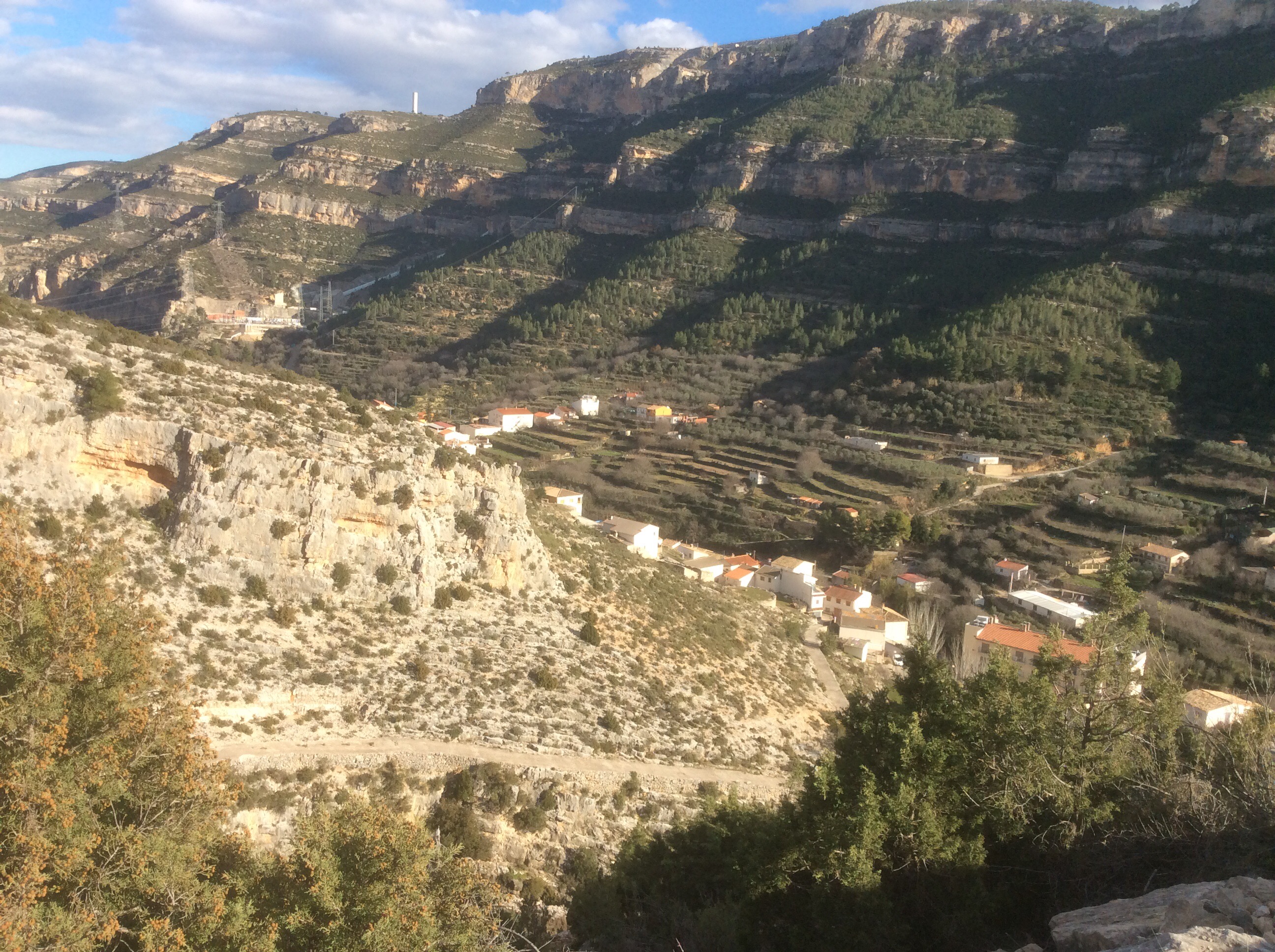
The views of the lake, castle and mountains to the side became more lovely and imposing, in proportion to my fatigue.

Late on in the afternoon, after sweltering in the sun and shivering in the shadows, I made it over the last hill and saw Cortes de Pallas below.
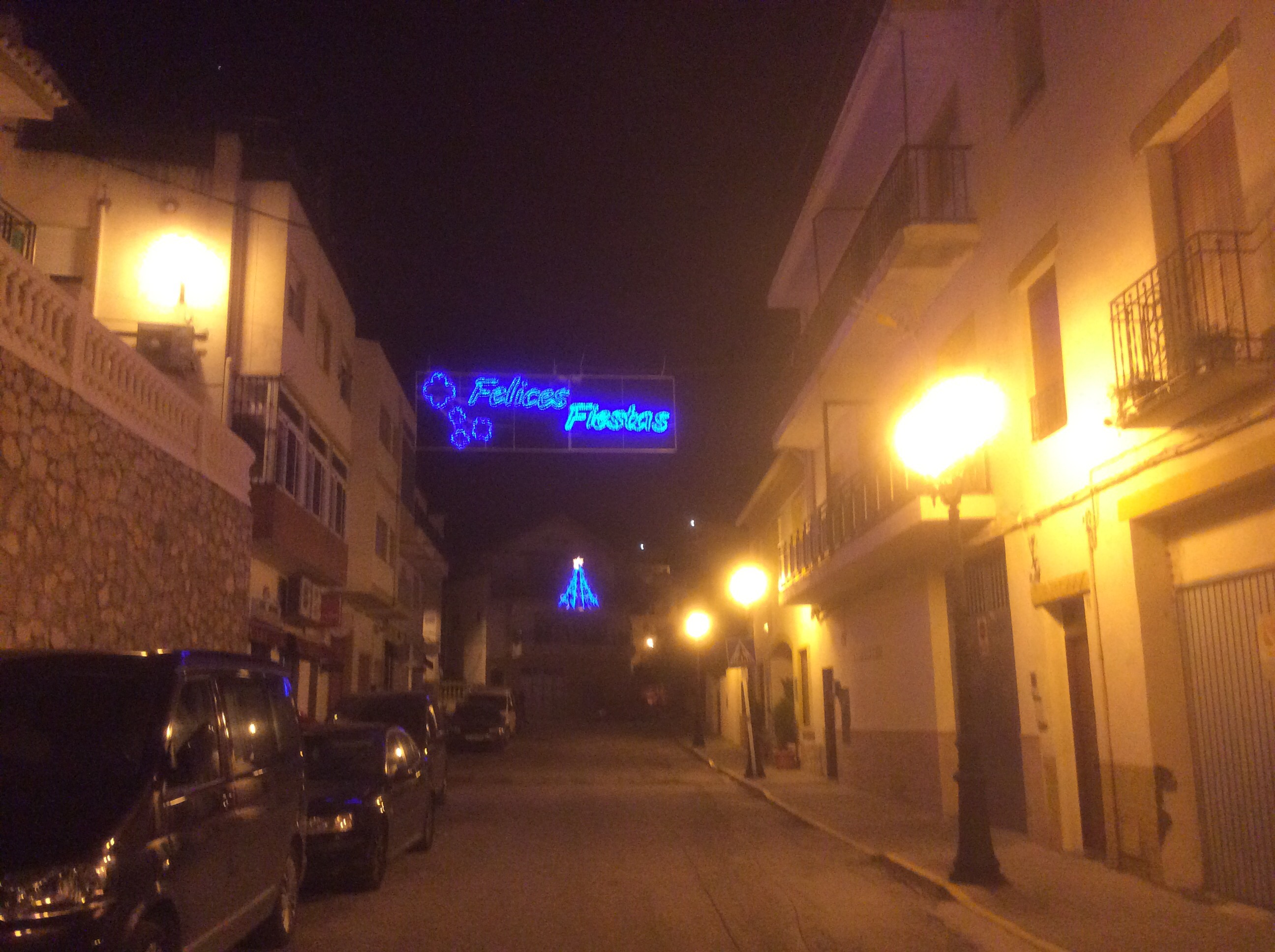
And it was still Christmas.
I had the longest bath in history, washed my clobber in the bath (which was a jacuzzi bath) and hung it up in front of the hot air fan. Limping down for dinner I had menu del dia which was mountain soup, with lots of veg and meat, a whole squid with chips and chocolate custard. Kismet Hardy. (Again).
Night night my loves.
