Onwards to Bowes and Home (second blog today)
Sorry kids, all story no photos. I got up early, packed the tent in the rain and set off at 6.15am to walk the 11 miles to Bowes to get a bus to get a bus to get a train to get a lift with our old lass to get home. It rained heavily and continuously so I got my head in my hood and marched like a squaddy. If I could have been bothered to get the iPad out and photo Bowes it would have looked like this.
And Barnard Castle would have looked like this.

And Darlington would have looked like this.
I’m back home to watch the Blades, see my old lass and dry out, but not necessarily in that order. Back on Sunday to the Pennine Way, Bowes loop with my old mate Chippypoos. Well, Chip anyway. Blog you then. Bye babes!
Langdon Beck to Middleton on Tees – Shorter and Sweet
A good night’s sleep int hotel and I found a hairdryer to mostly dry my boots. My clothes were wet beyond redemption in a compressor bag. Today’s was a more leisurely walk down the valley 9 miles to Middleton on Tees. I filled up my stomach, and the various canals that surround it, at breakfast, with double black pudding. Gordon Bennett I was full. The first stage was a mile down the road then across a farm to the Way. It was dryish but the clouds were looking threatening.
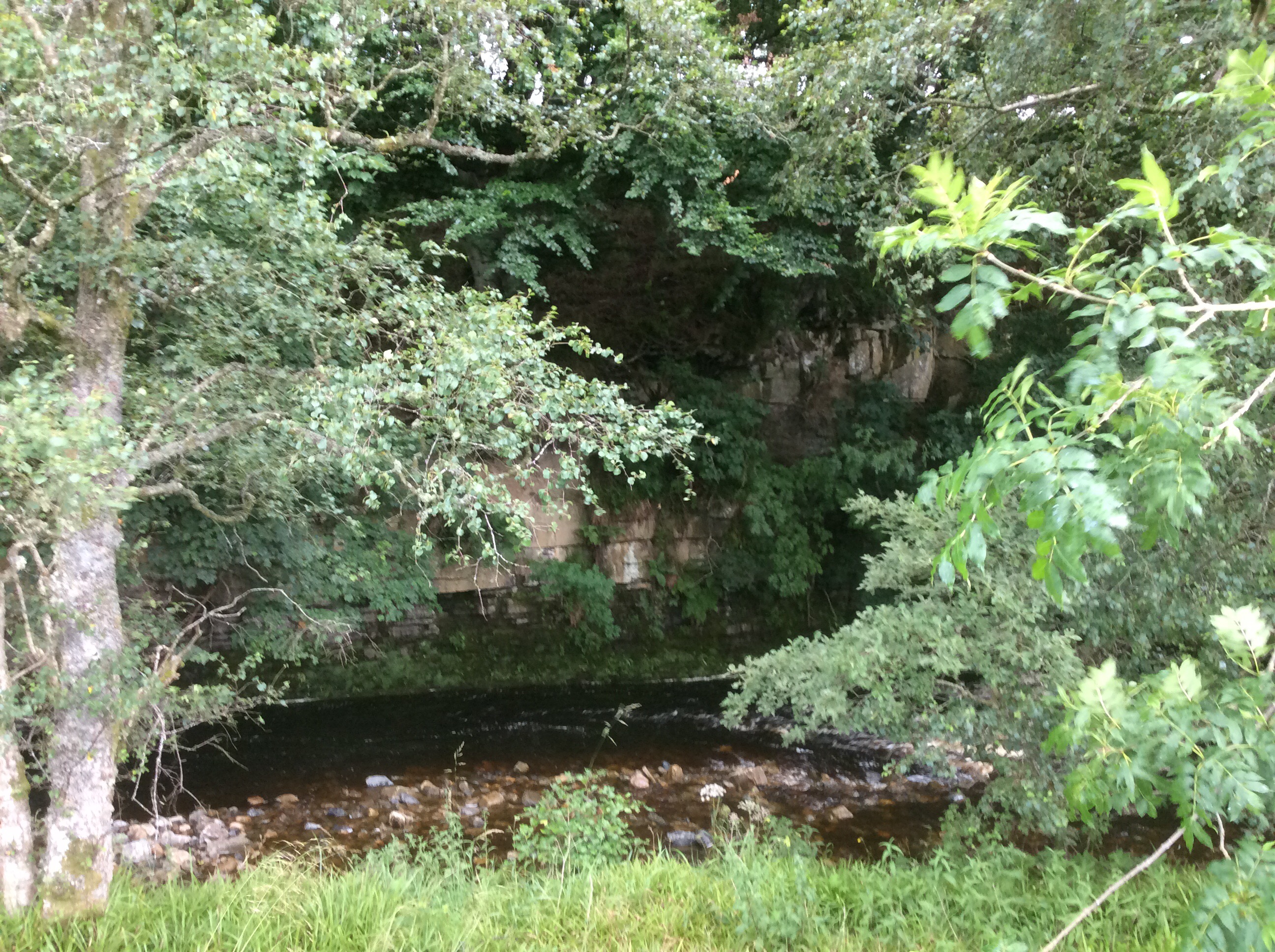
The path rose up the West Bank but no Palestinians in sight. Netanyahu must have had them all shot. The river disappeared a while and then the path dropped down again.
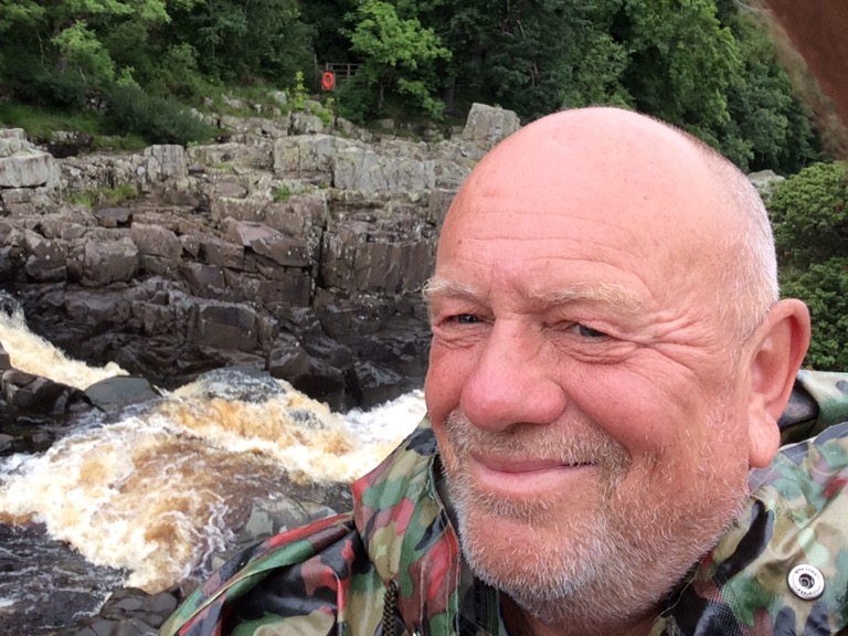
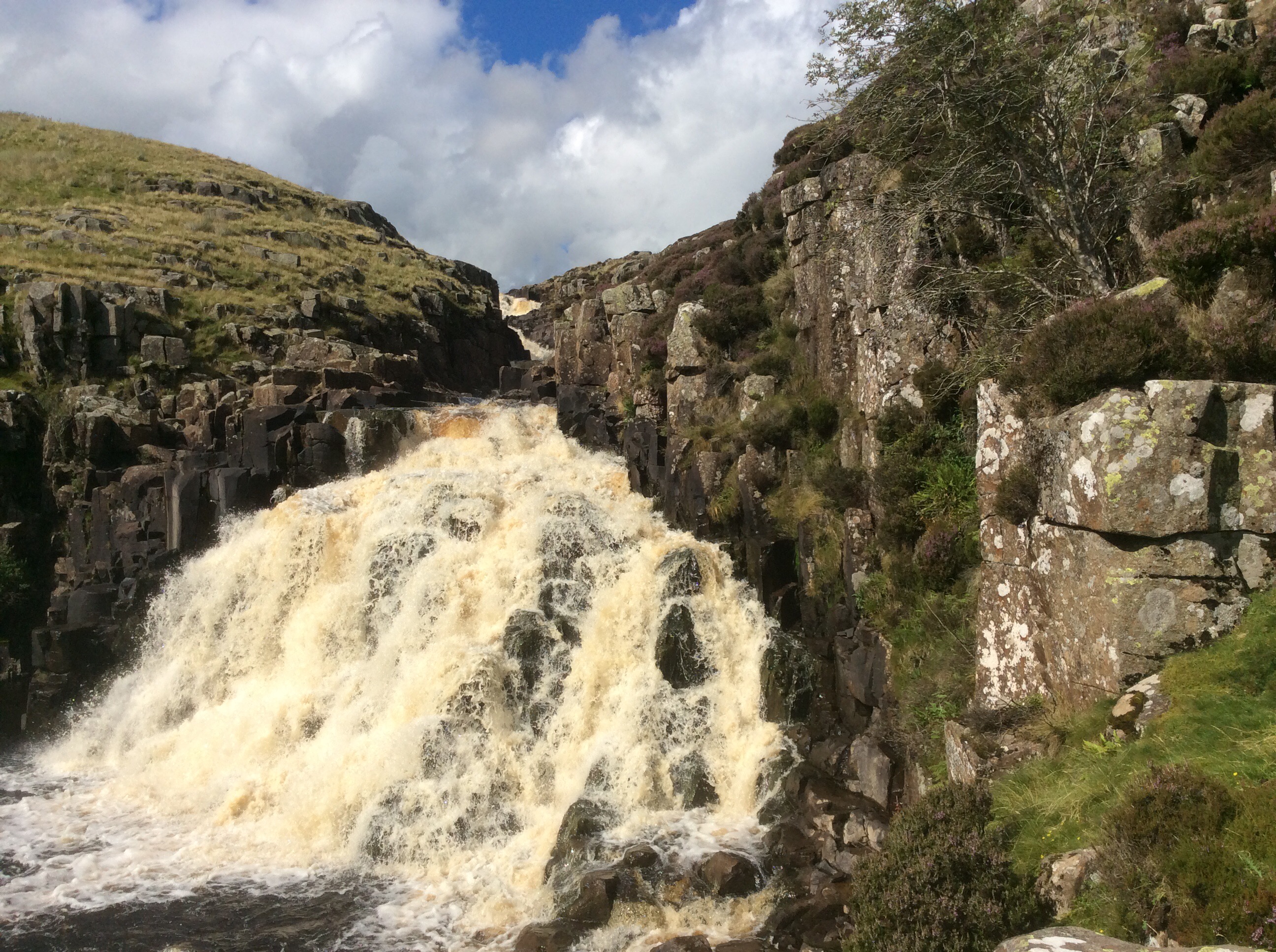
A few miles later and I was stood at the top of the High Force waterfall which roared in my ears.
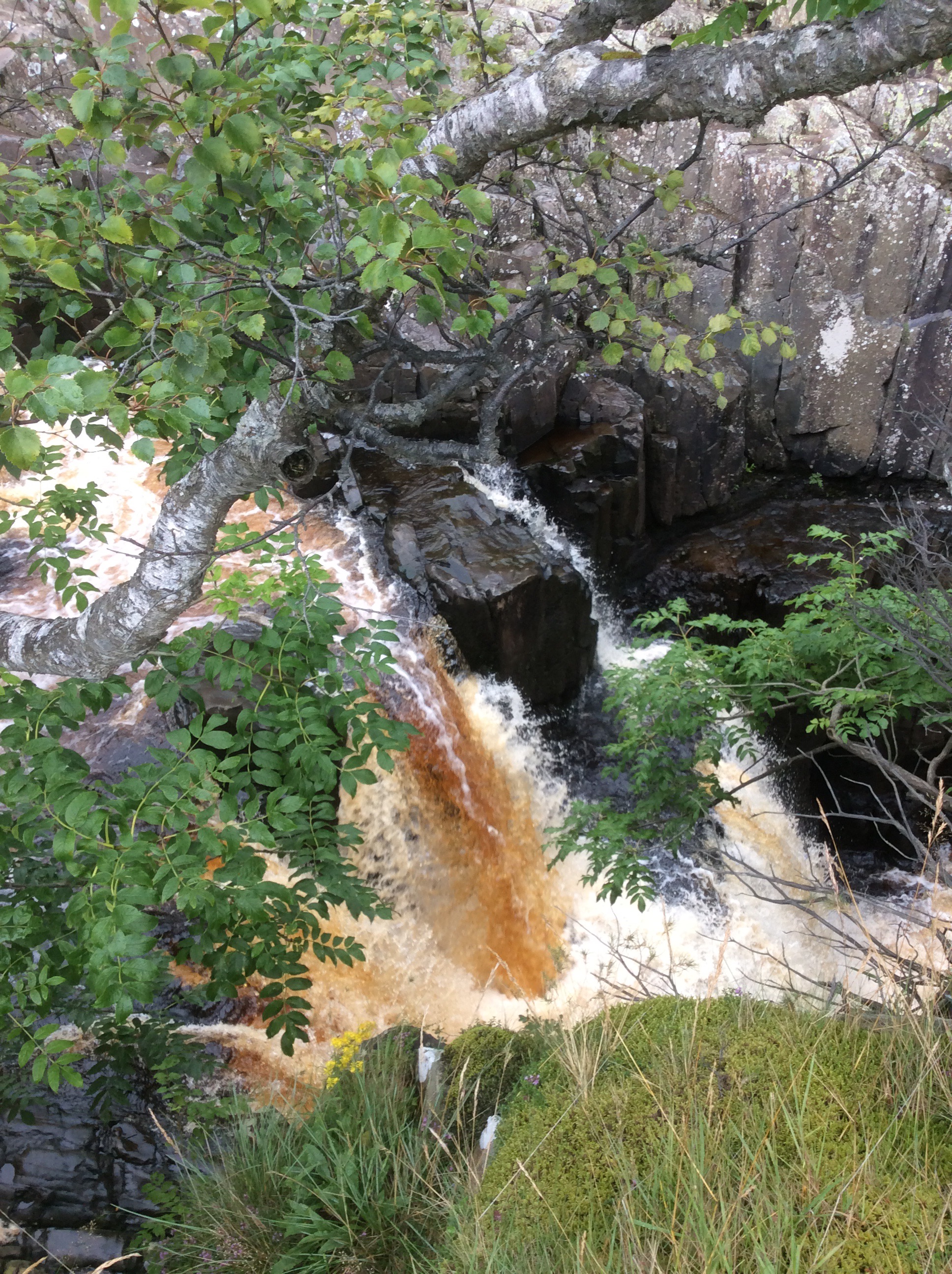
The water was still brown and mucky, from the heavy rain on the peat bogs, as it fell over the cascade.
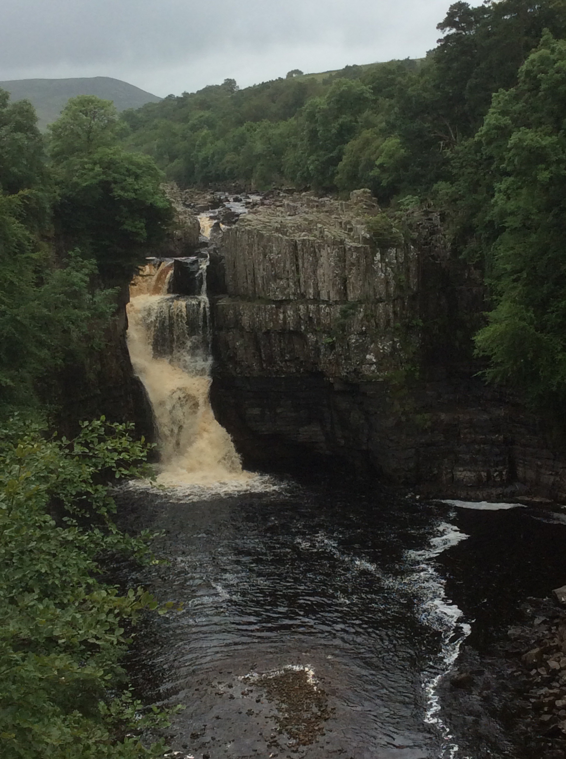
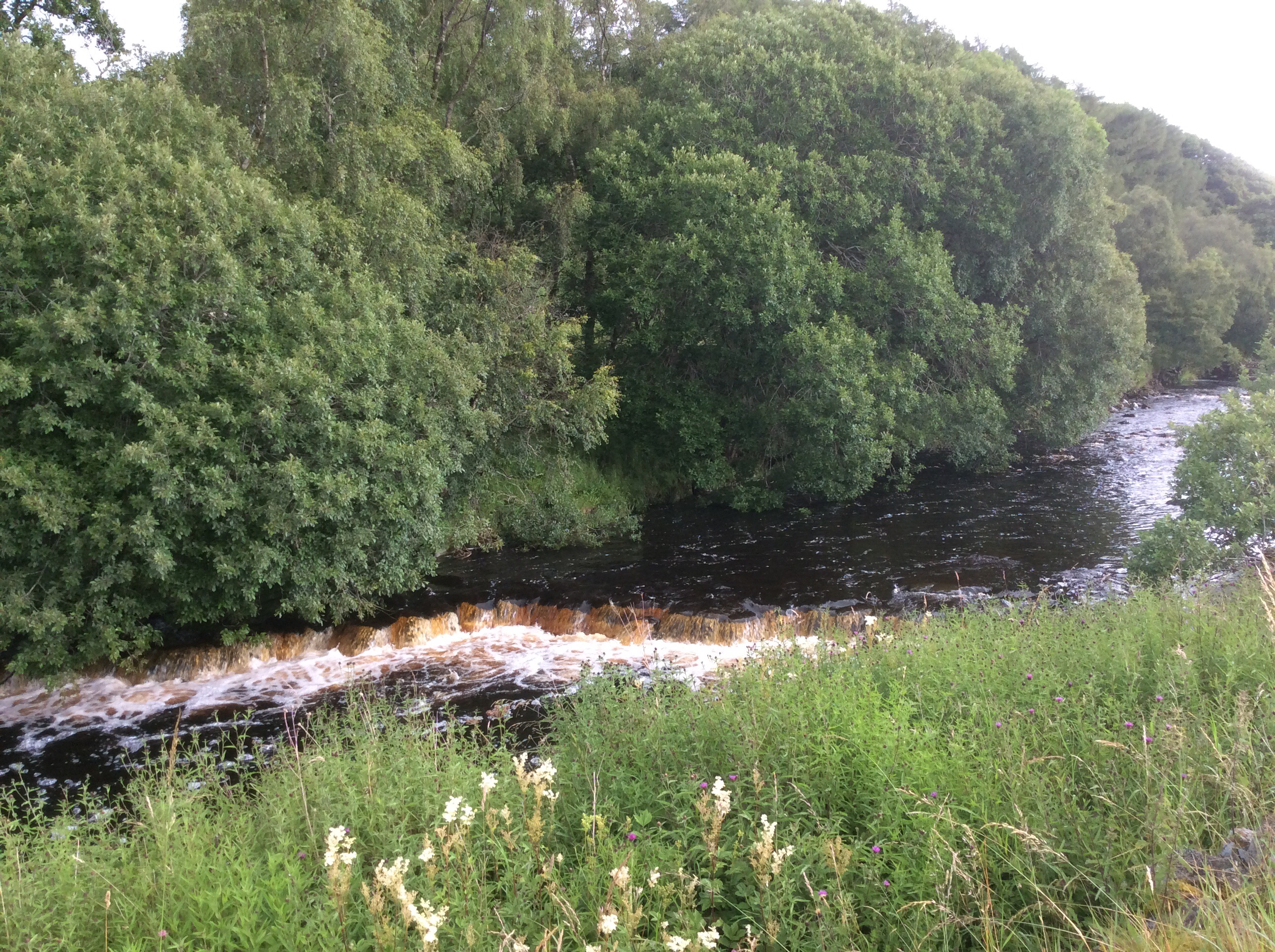
And from further down the valley the view back was awesome, well maybe not compared to the Niagara or Victoria Falls but for this green, pleasant and sceptred isle it was awesome. The biggest single drop in the U.K.
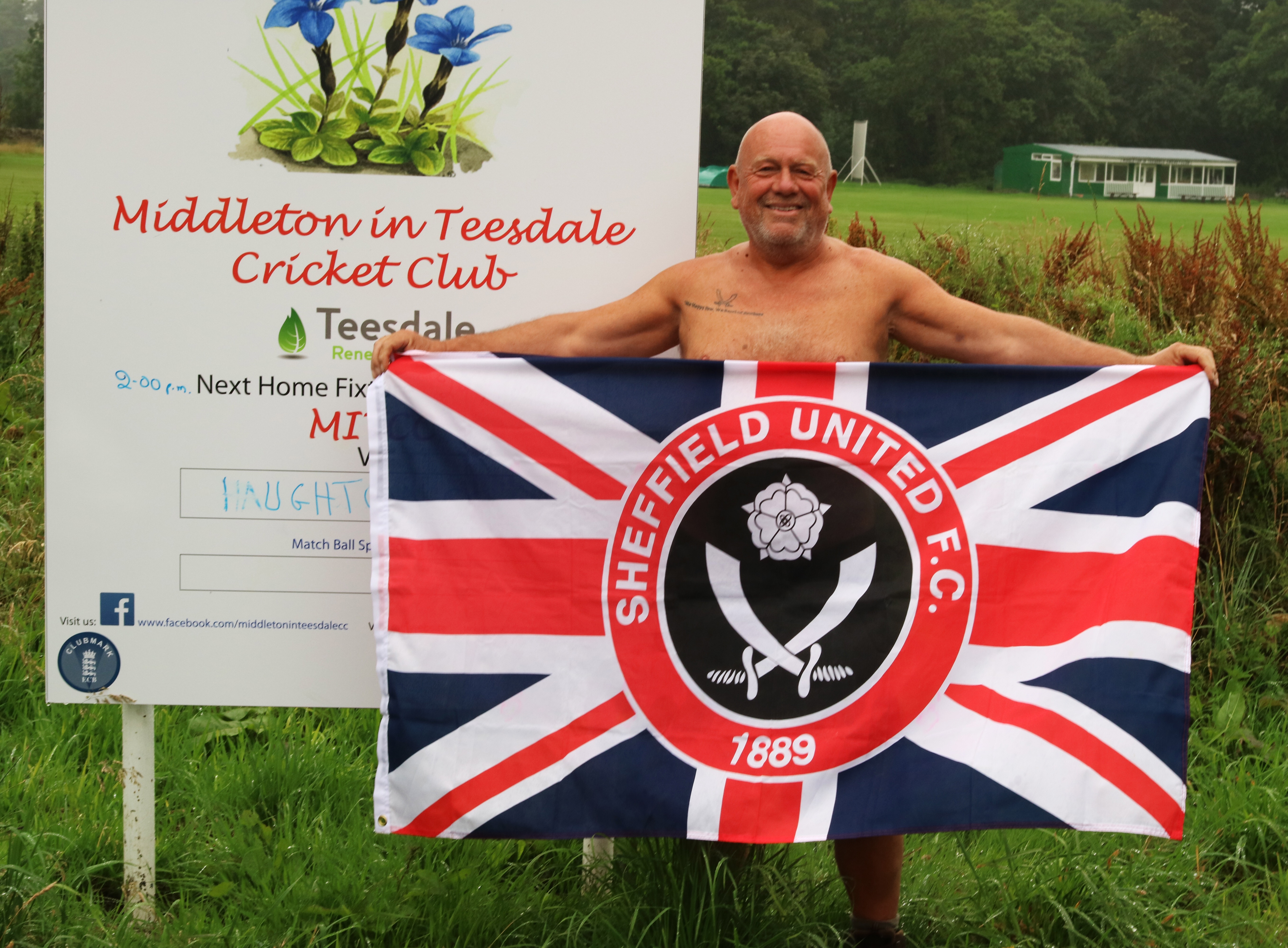
There were a few dozen tourists walking up and down the path, but again not many PW kiddies. I sped along and when the heavy rain started I was close to Middleton and pulled into a pub. The conversation at the bar for some reason turned to Sheffield United so I got my flag out. The locals said I must go next door and show it to the biggest Blades fan in the world. I packed up, went round and knocked on his door. When he came down the hall I got the flag out and sang the greasy chip butty song. He was quite surprised! He was trying to get tickets for him and his grandson for the Blades at Middlesbrough but didn’t have enough loyalty points. I gave him my SUFC log in and he used mine and Jet’s points to get the tickets. He was really pleased and insisted on taking a photo and sending it to me. I was naked.
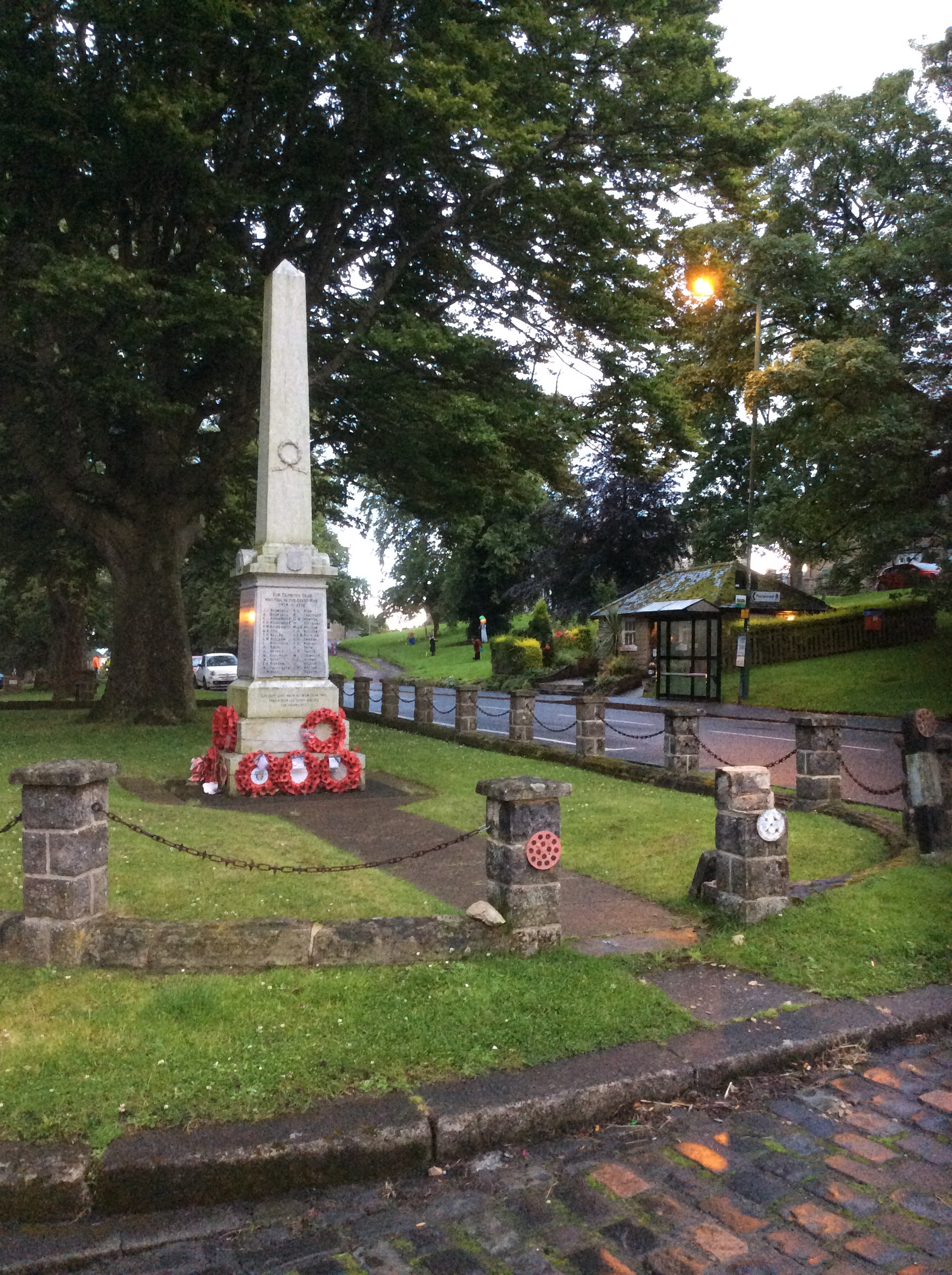
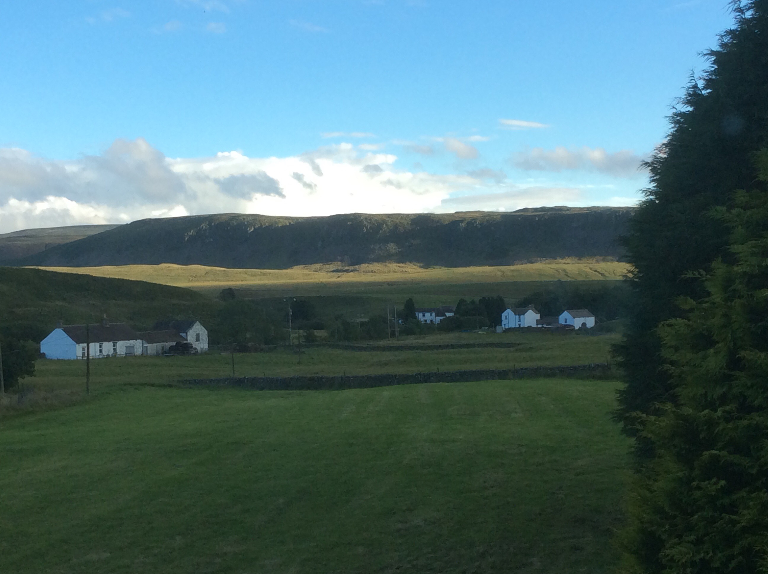
Middleton was a nice village and the campsite was ok, but a way out of town.
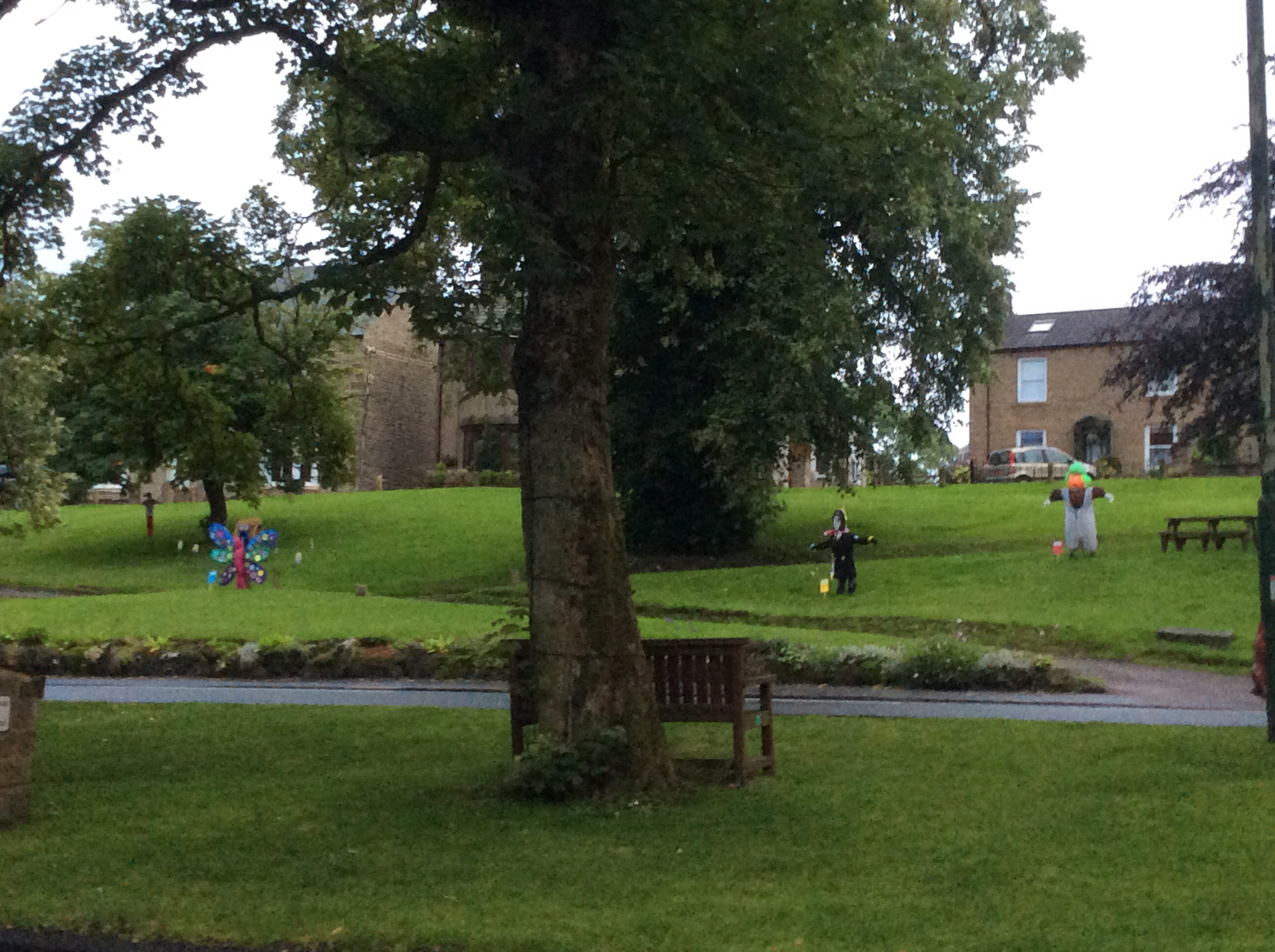
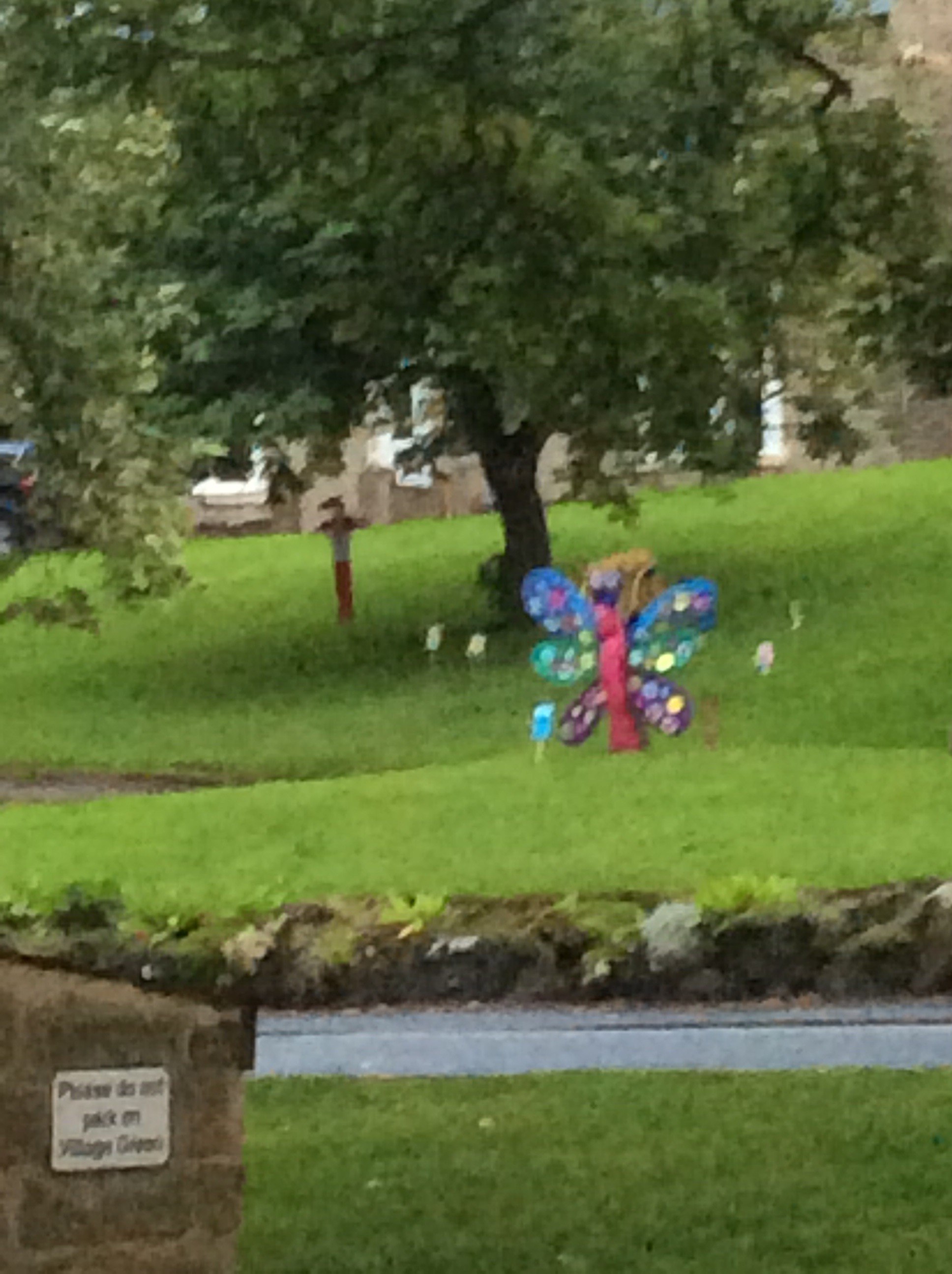
The festival was coming and the local kids had made mannequins.
I ate and got an early night.
Night night.
Dufton to Langdon Beck – God Was ‘Ere
The Way was only 12 miles today so I thought I would do it easily and quickly. I got up and packed a dry tent. Amazingly despite the forecast from hell the weather was dry. I timed it so that I’d be on the way for 10am when the local cafe opened. My fifth full English/Scottish breakfast in seven days. No wonder I ain’t losing weight. And it was great.
This is today’s route to Langdon Beck Hotel, between the two maroon triangles. Hey, hey, hey I’m in a hotel tonight. Not posh but blooming fantastic.
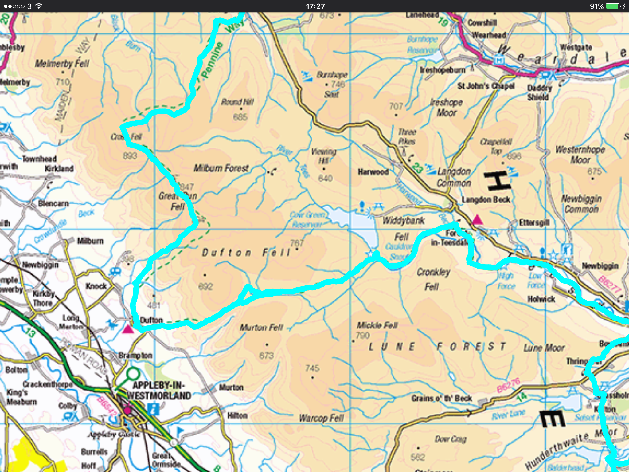
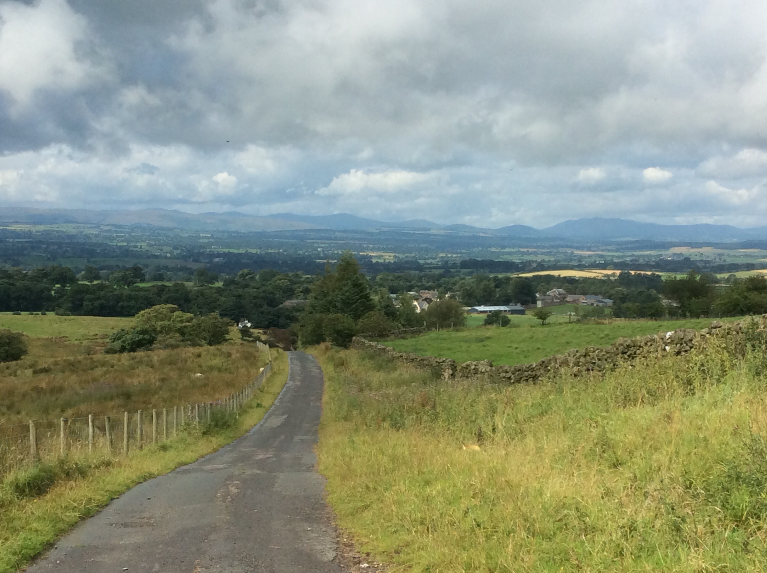
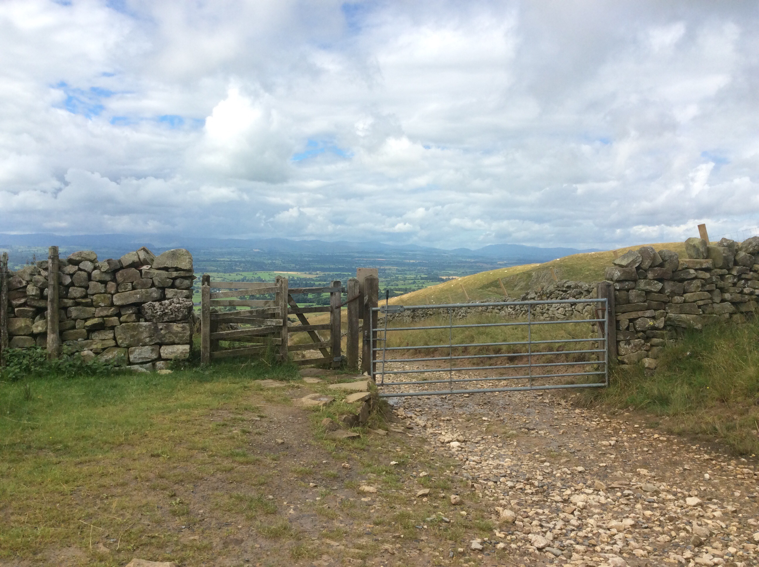
The route ran up the nearest hill turning from road to track to path. Looking back is always nice. I couldn’t choose between these views so I done them both.
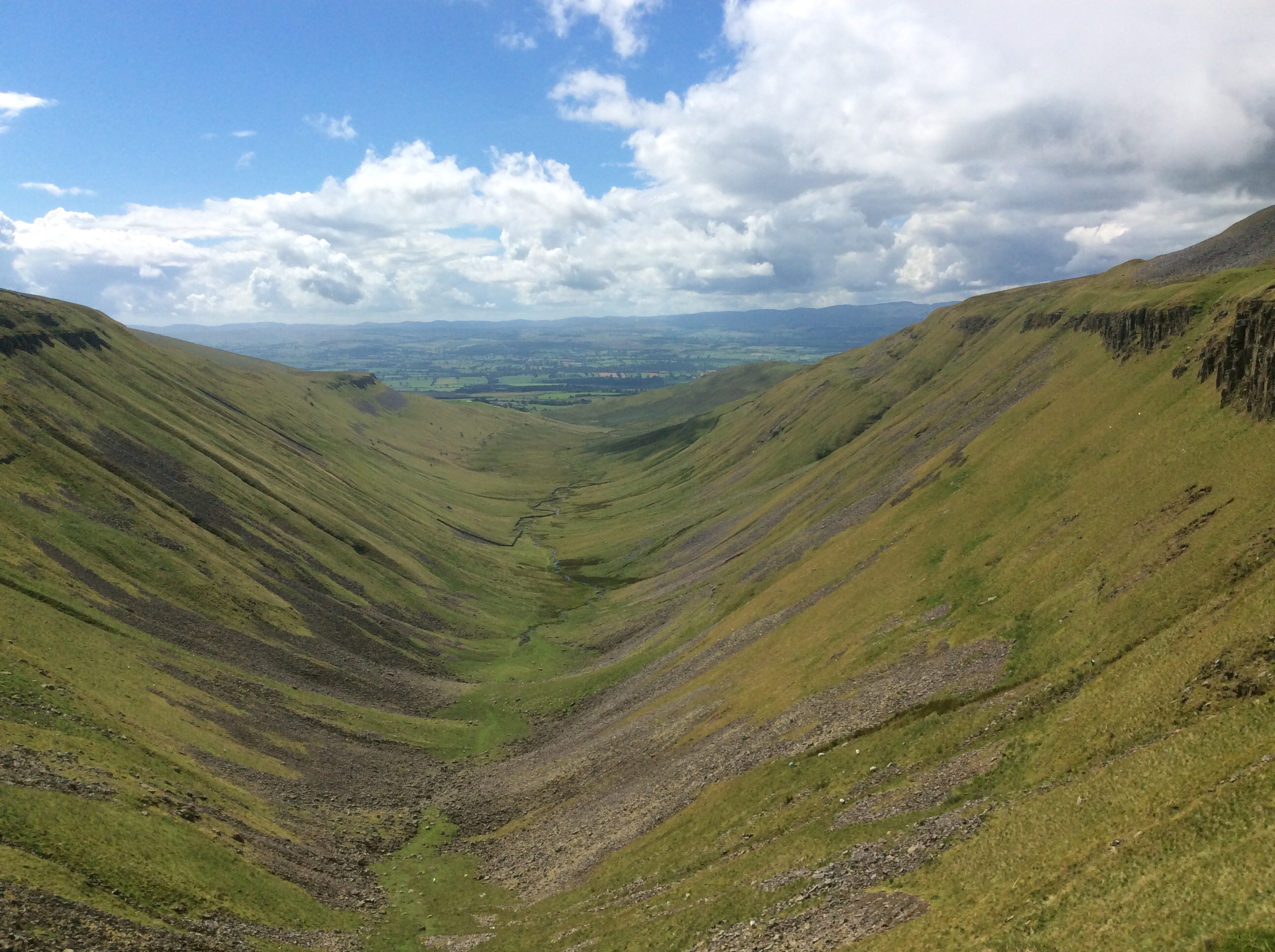
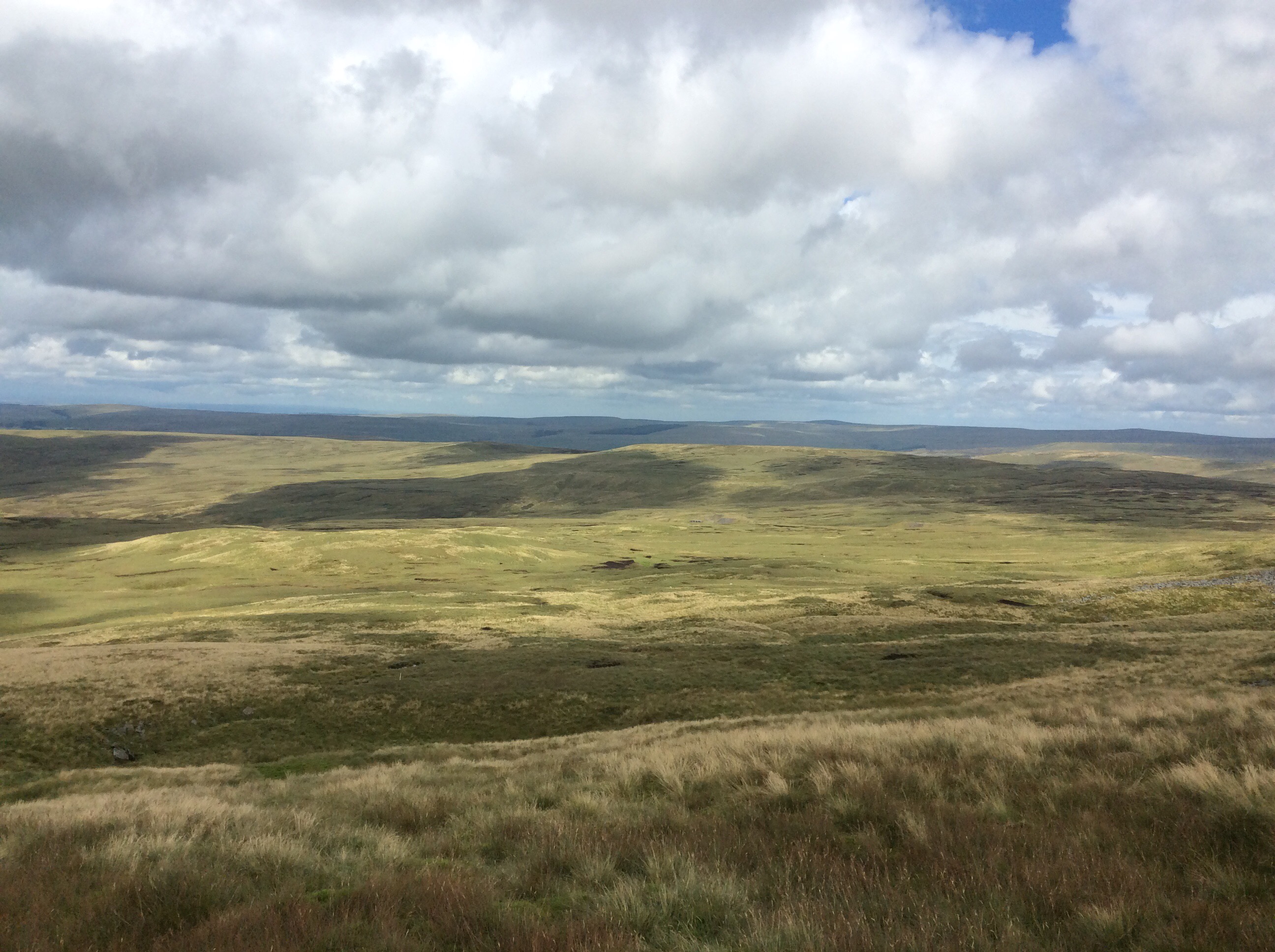
The Way climbs up above 2,000 feet again and then rambles along the edge of a glacial valley. It’s impressive.
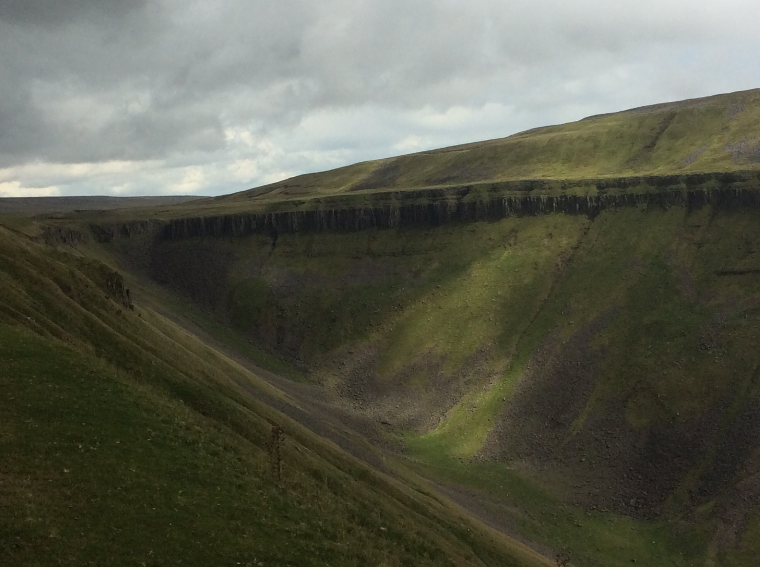
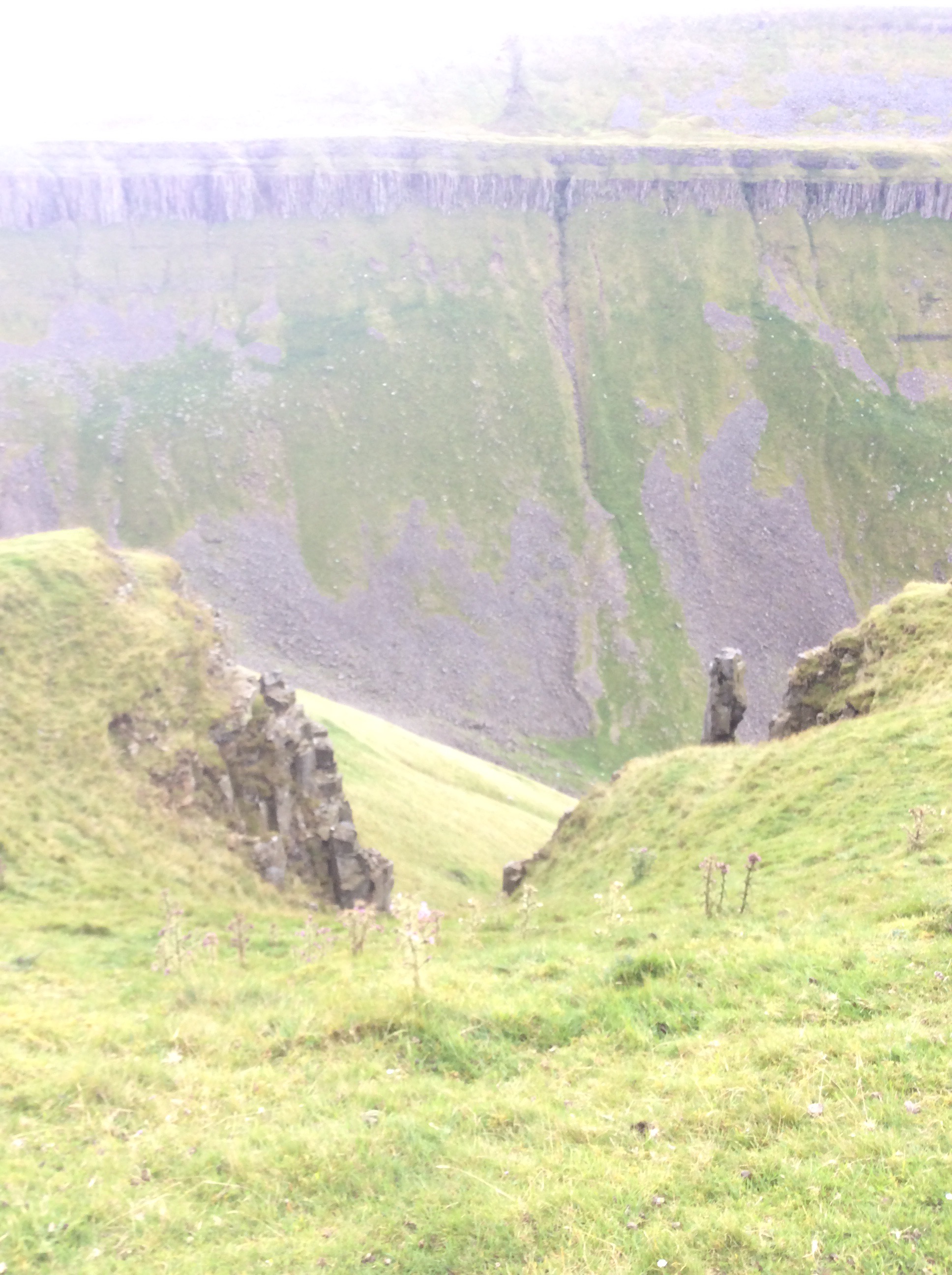
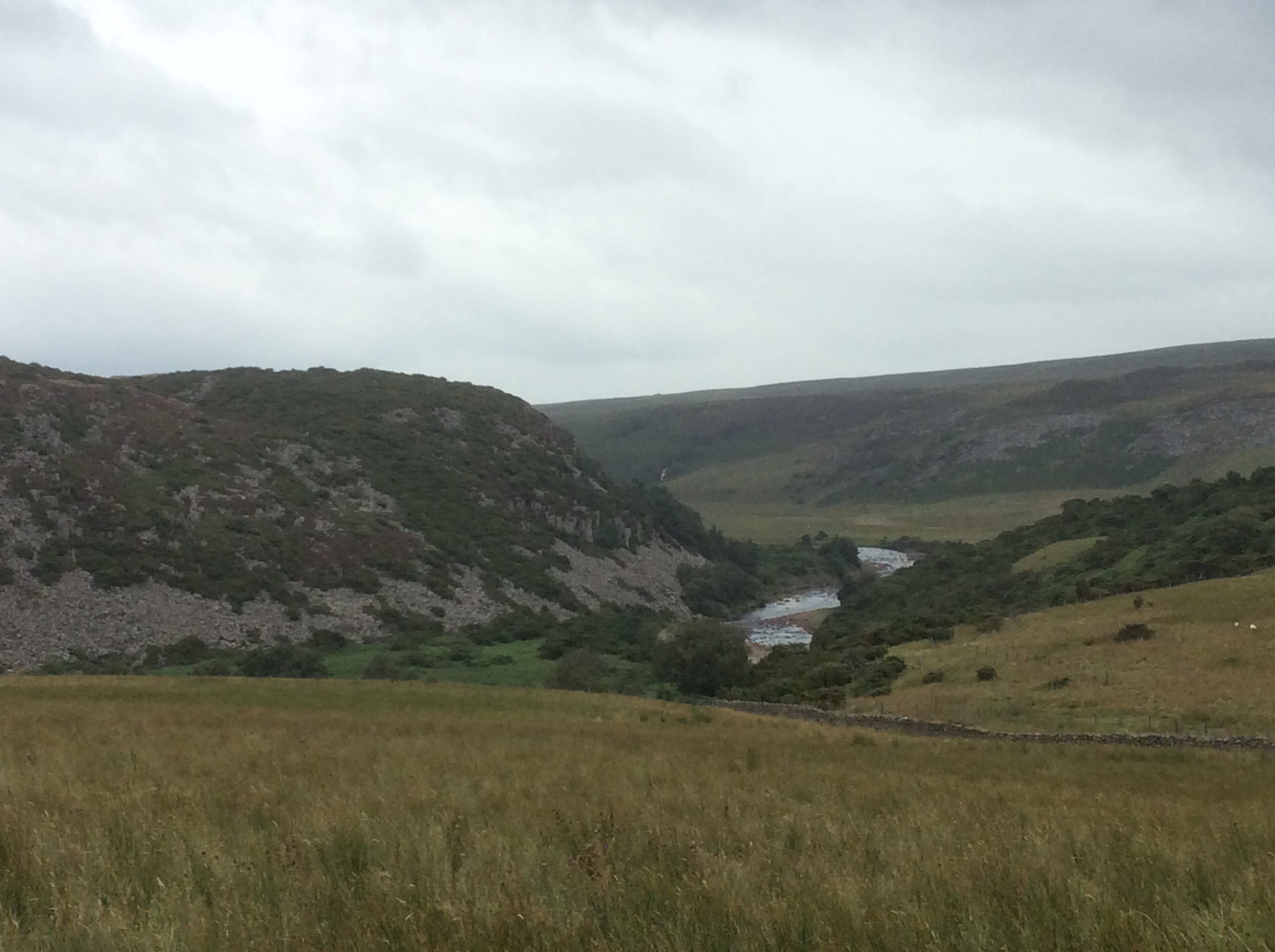
And then when you get to the head of the valley the view back is breathtaking. This is High Cup Nick.
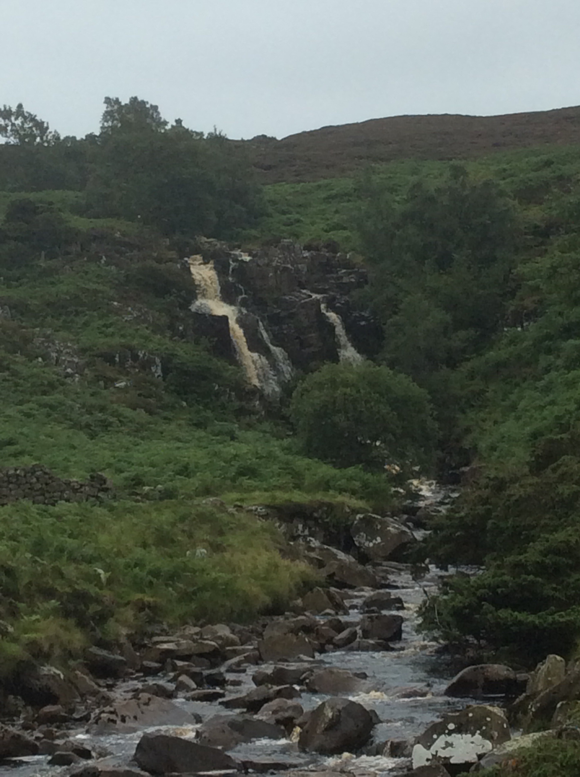
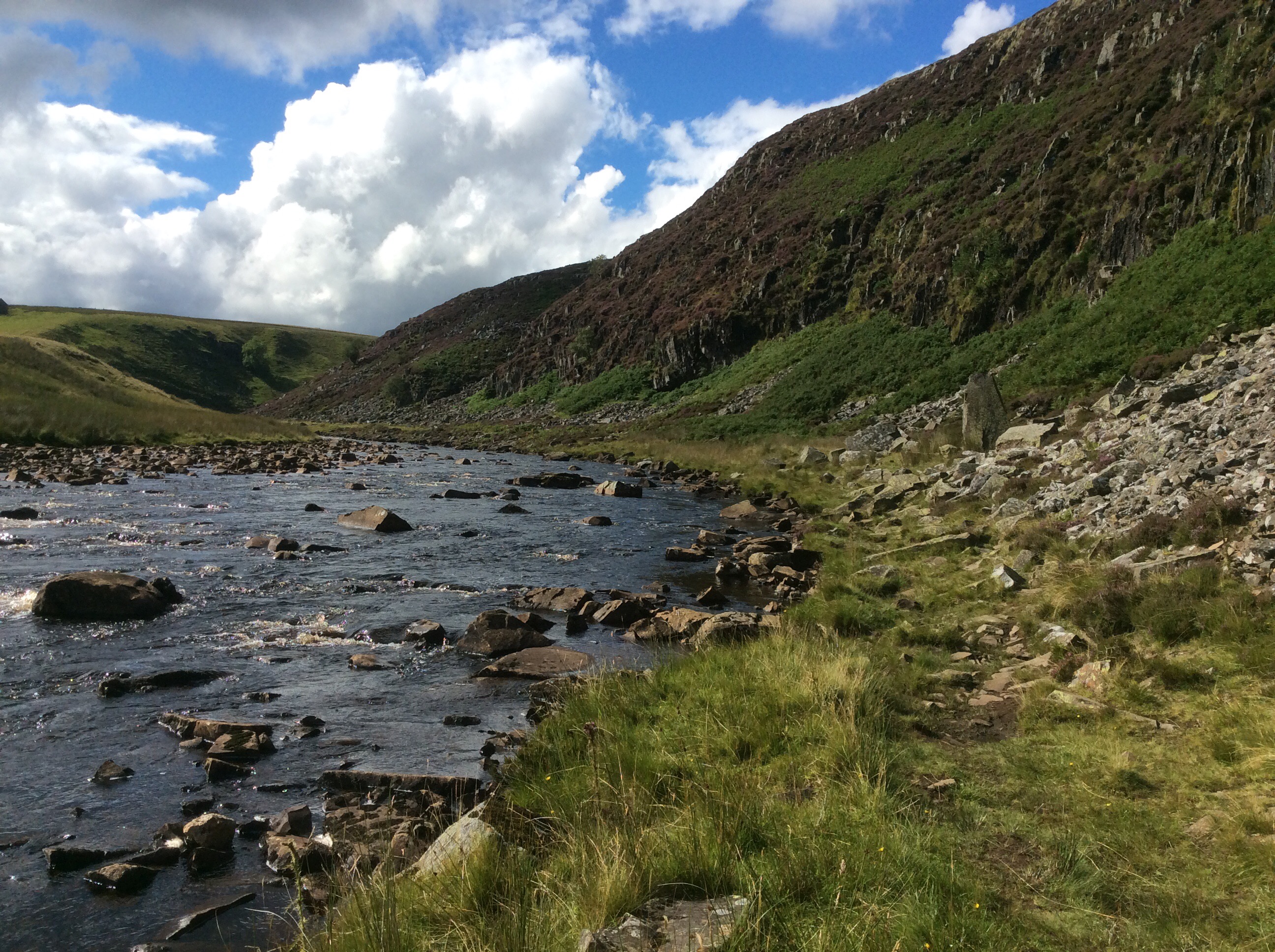
This was a tipping point. The beck emerging halfway down the limestone valley in the above photo eventually comes out into the Irish Sea. A quarter of a mile eastwards and I was following a tributary of the Tees downhill to the North Sea. And on occasions it cascaded quite spectacularly.

And on again.
This was tough going. The Way disappears and you have to climb down the rock at the side of the valley, which is tough with a rucksack. I’m not a climber. I like it but I’m too rigid and inflexible, particularly my knees, to do it well.
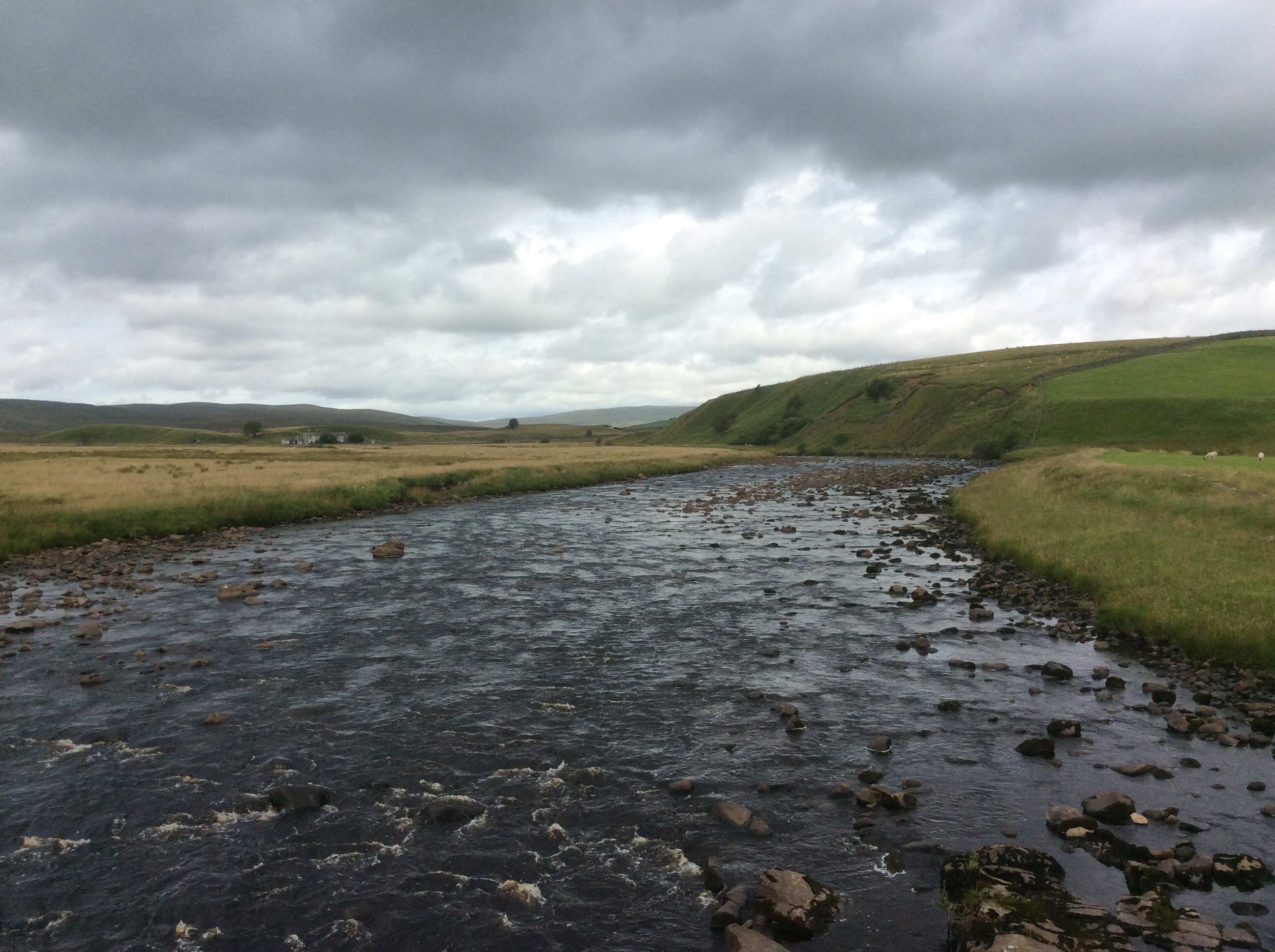
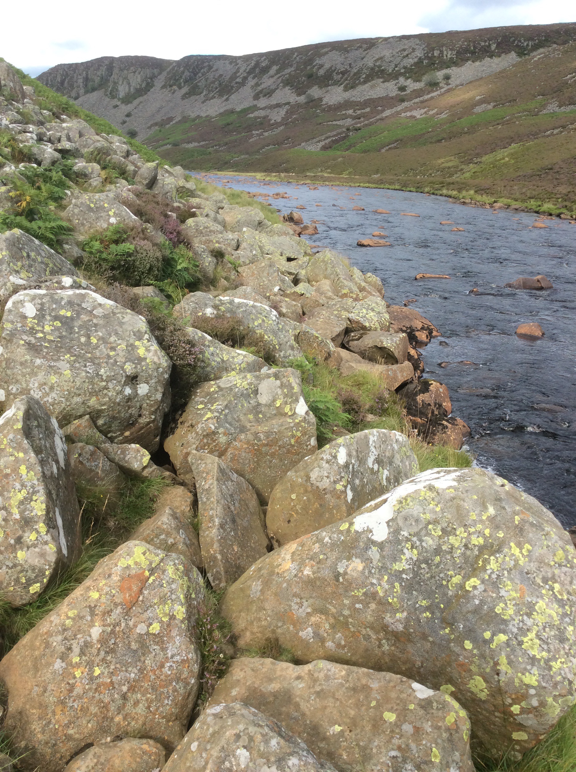
Further down the river calmed.
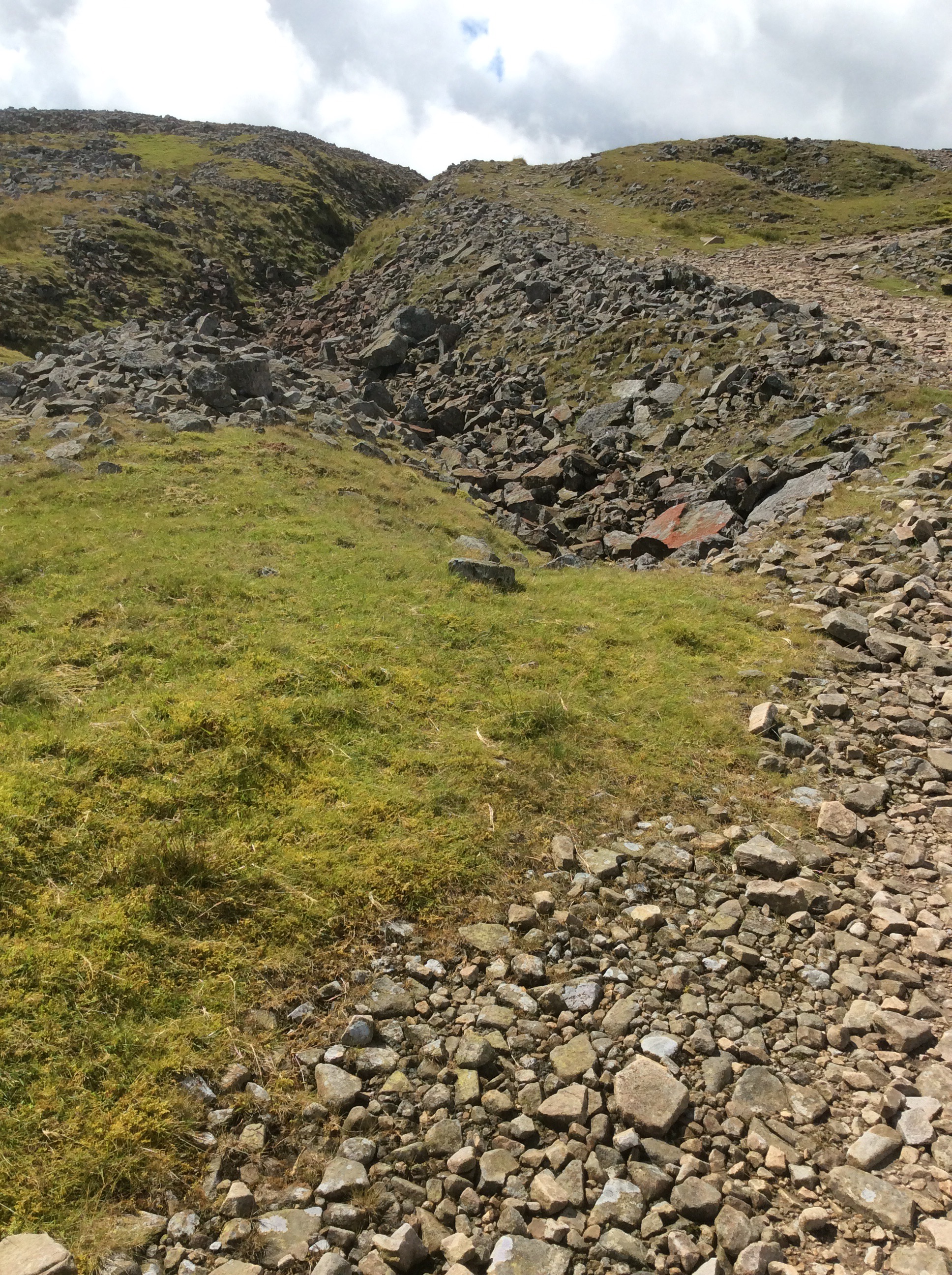
There was a real slowdown for a mile and a half of boulders spread across the valley. This was very tough on legs and feet. Keeping balance on them with a heavy rucksack is difficult.
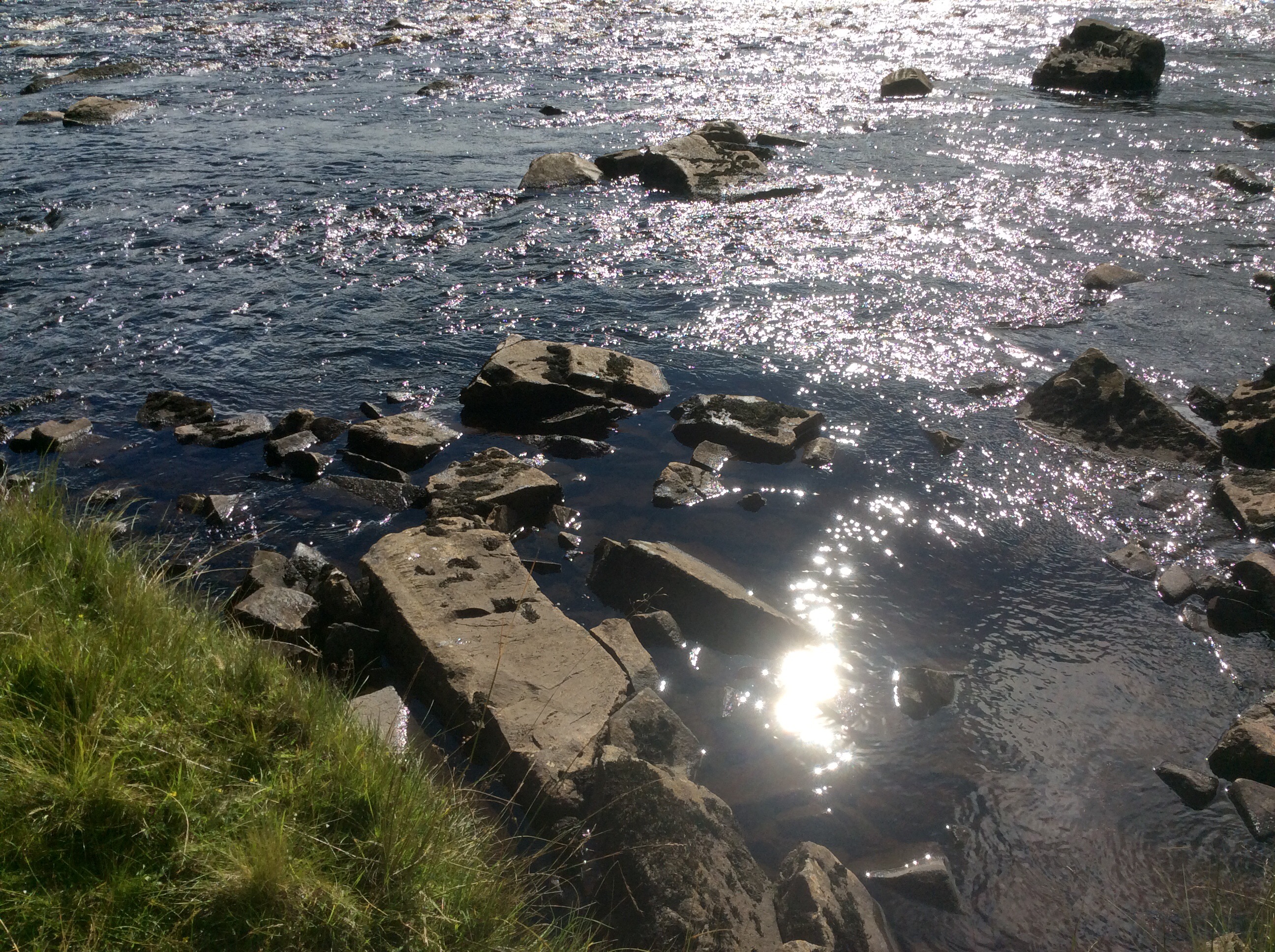
I got a sudden call of nature and stood with a foot on each of these two stones in the river and released my doo-dah. With a bit of luck it’ll come down a tap in Hillsborough.
The route went on and on and eventually turned left up a track to the Hotel. Through a field of cows and a rampant bull. I climbed over a wall and waded through a deep bog to escape. The Hotel was great, food great and cheap and a good bath and sleep. This is the view from my room.
Night night.
Alston to Dufton, the Highs and Lows
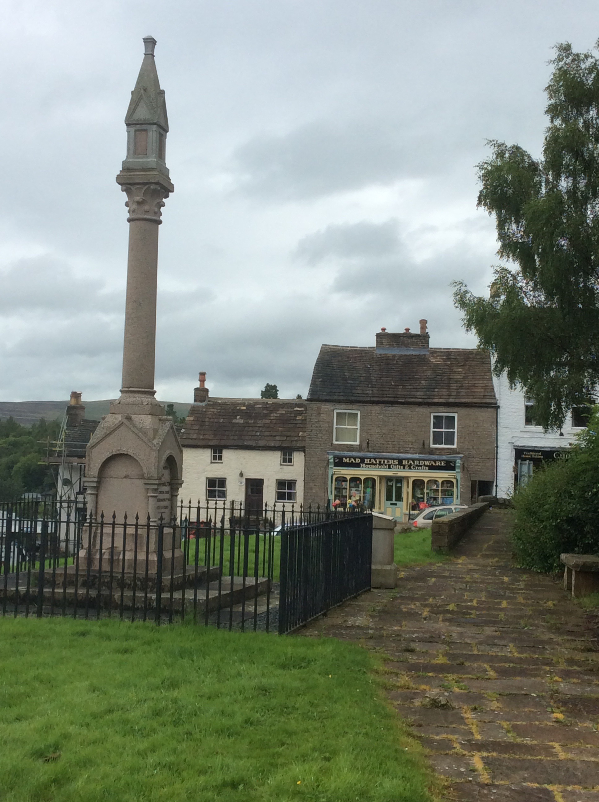
Great breakfast from Celia, although I didn’t think physically she was up to it, but routine is a life extender. Unless it’s a routine of suicide bombing. That usually cuts it short. I was a bit sorry to say goodbye to Alston. Nice village, nice folk, nice welcome. Including one from the Mad Hatter.
I bought supplies for wild camping tonight as I didn’t think I could make the 20 miles to Dufton. The route climbed 11 miles to peak on Cross Fell, at nearly 3,000 feet it’s the highest in England outside of the Lake District. It then dips and rises to three more peaks, lesser but still big, before dropping the last five miles to Dufton. Too much – Boo. But my feet improved a lot overnight – Hooray. However my boots were still soaking wet – Boo.
The route followed the South Tyne four miles upstream to Garrigill where it cut up much steeper for the seven miles to the summit. The river views were lovely and the weather was overcast but only occasional showers. The wind was up so it’d be lairy on top.
After Garrigill I needed to rest every 100 paces. I’m not up to the Pyrenees next year. Cross them, yes, but not along the top. My feet are too susceptible to damage from wet boots and my body strength isn’t tough as a nutter wasterd anymore. The views back were limited until I got higher up.
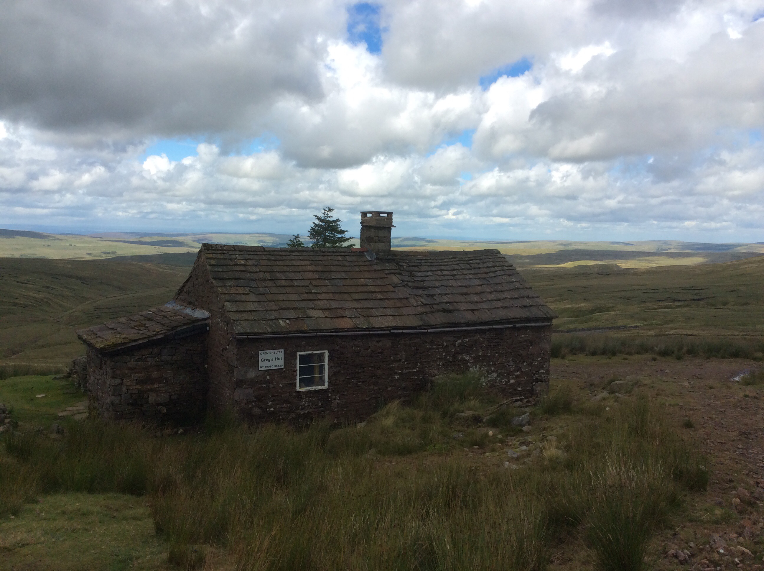
Near the summit of Cross Fell is a miners’ hut where the guys would live Monday to Friday and commute down to the village (on foot) for the weekends. Lead miners smashing and scouring the rock looking for the soft metal.
And Greg’s hut is now preserved by volunteers as a bothy and emergency refuge. Saving many lives in the depths of winter and spring.
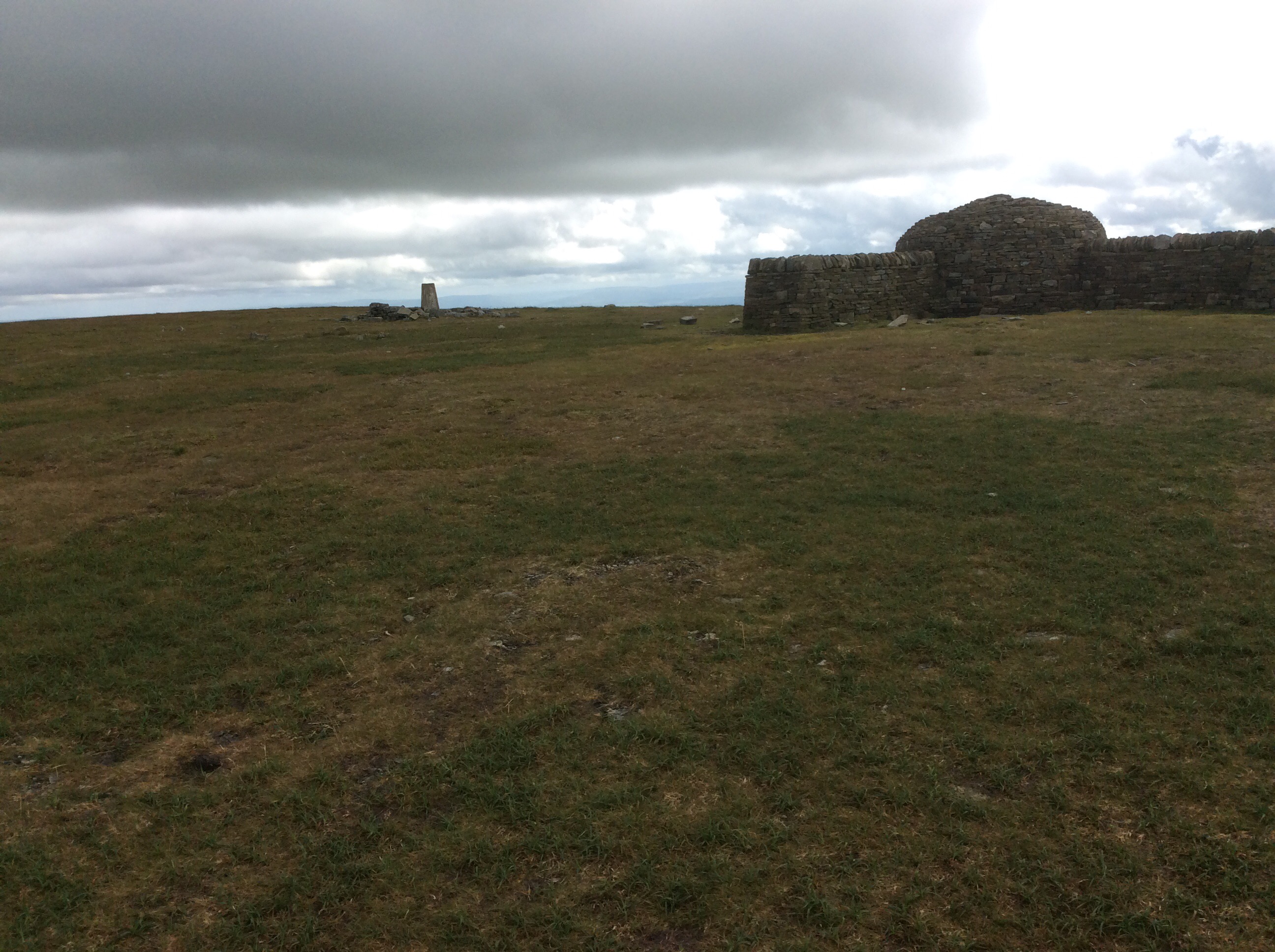
The summit was elusive but I caught it. And nearly got blown off for my pains. It was incredible, literally lifting one off one’s feet, one.
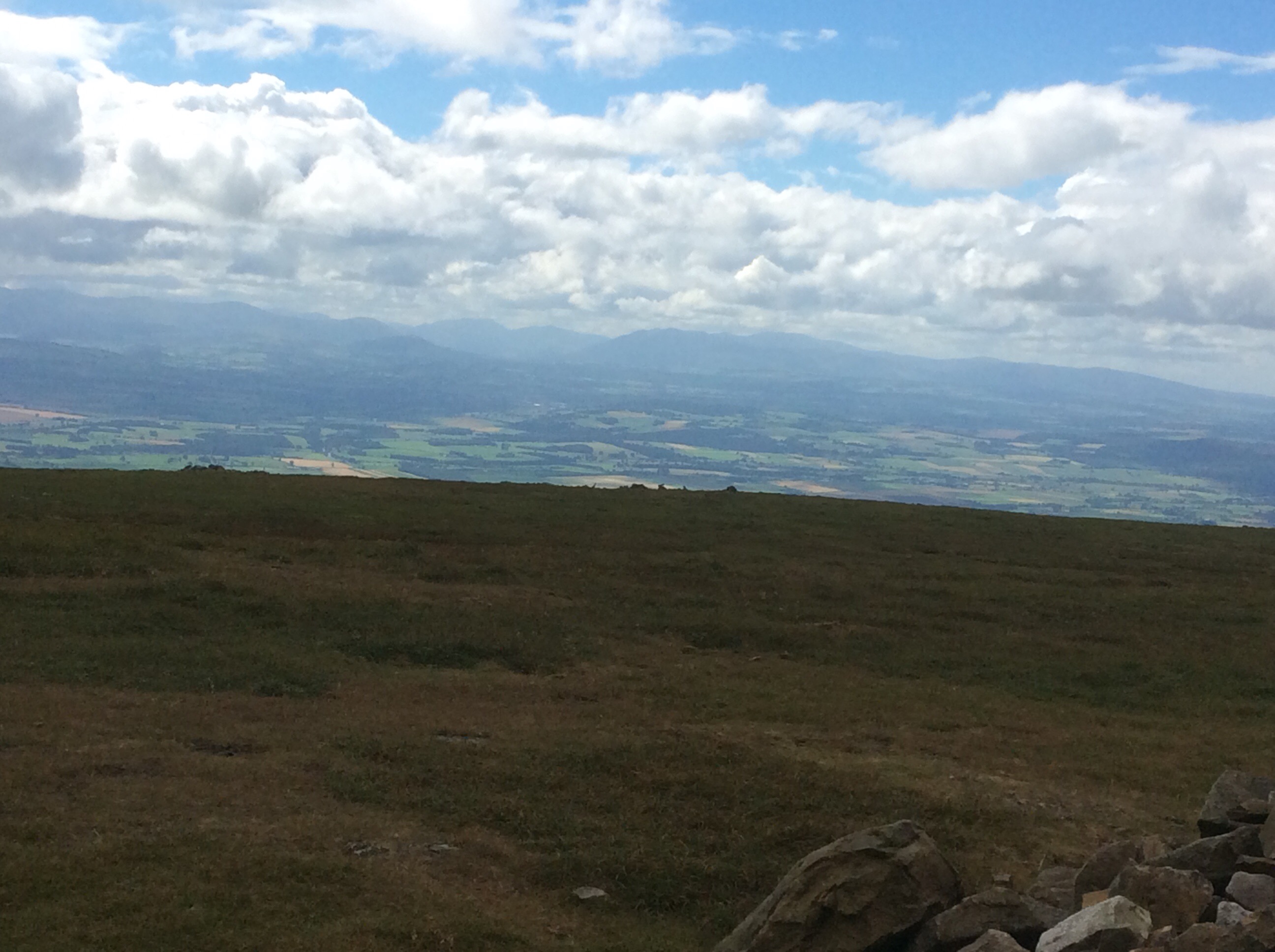
With the first views I had seen of the Lake District to the west. Stunning. I’m in Cumbria now. Lots of grouse up top and a gamekeeper I spoke to on the way up was a Carlisle fan. Always a strong indicator of geography. The Pennine Way is further west than Manchester here.
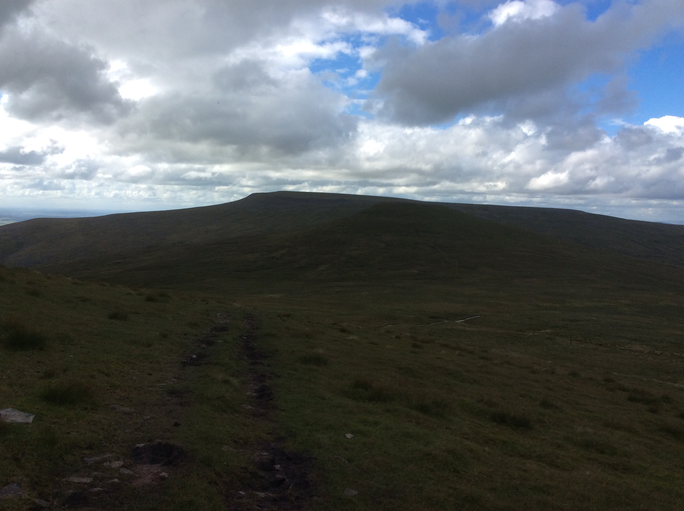
The summit was a deep bog, as were two of the next three summits, and all of a sudden I thought I could make Dufton and a campsite with a toilet, shower and pub. Looking back Cross Fell was brooding again.
Looking forward I gritted my teeth and tried to ignore the pain of the soles of my sodden feet, standing on bog grit on my inner soles that couldn’t be knocked out. I chanted, with each step, ‘Come on old lad, keep on going, Come on old lad, keep on going’. Four hours later the Way had dropped off the last summit and dropped down steeply towards Dufton.
I made it. 7.45pm and I did it. Ten and a half hours walking and climbing. I pitched the tent on site, cleaned myself up, ate my provisions, limped down the pub for a pint and limped back.
Night night.
