Dinan to St Cast le Guildo – Making Up For Lost Time
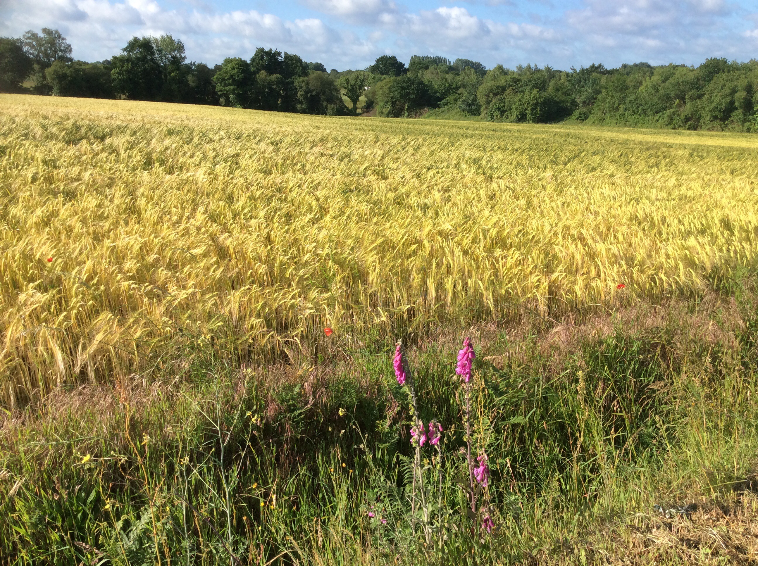
The storm had cleared in the morning but there were a few trees damaged and down which we would see along the way. To save time we got a cab back to the airport and set off to walk the same route we would have done the previous afternoon, had it not been for the storm, in addition to the walk scheduled for today. Even pulling some short cuts we were looking at 32 kms, a good 20 miles, with our rucksacks. But the weather was fine.
The going was hard as Antonia not only has a broken hand but she developed a problem with her heel during the day. For my part I hadn’t done any training and the rucksack was digging into my shoulders. But then we’re as hard as nails!
The first stage was to get to the coast and we did that effectively, once we’d established where we were!
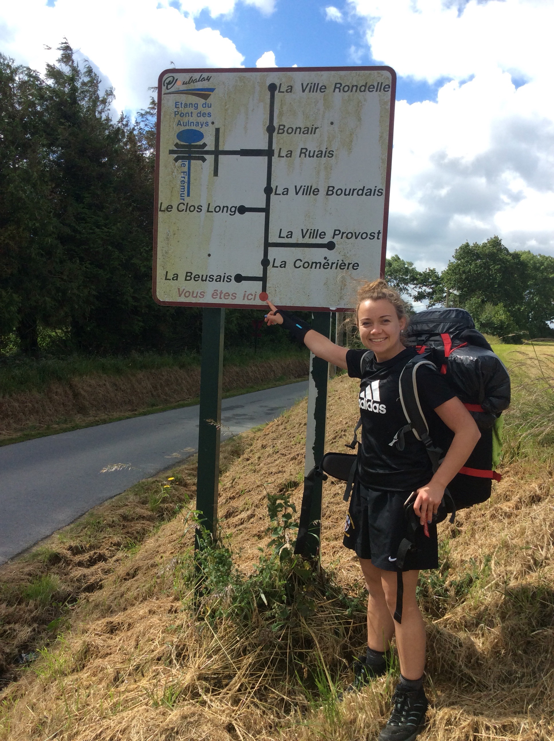
Doesn’t our Antonia look lovely? Before we reached the coast the heavens opened up and it belted down, whilst me and Tone dived into a coffee shop and ate pain au chocolate and a coffee eclair. The rain cleared as we stepped out and made good time for our first view of the sea, in the distance.
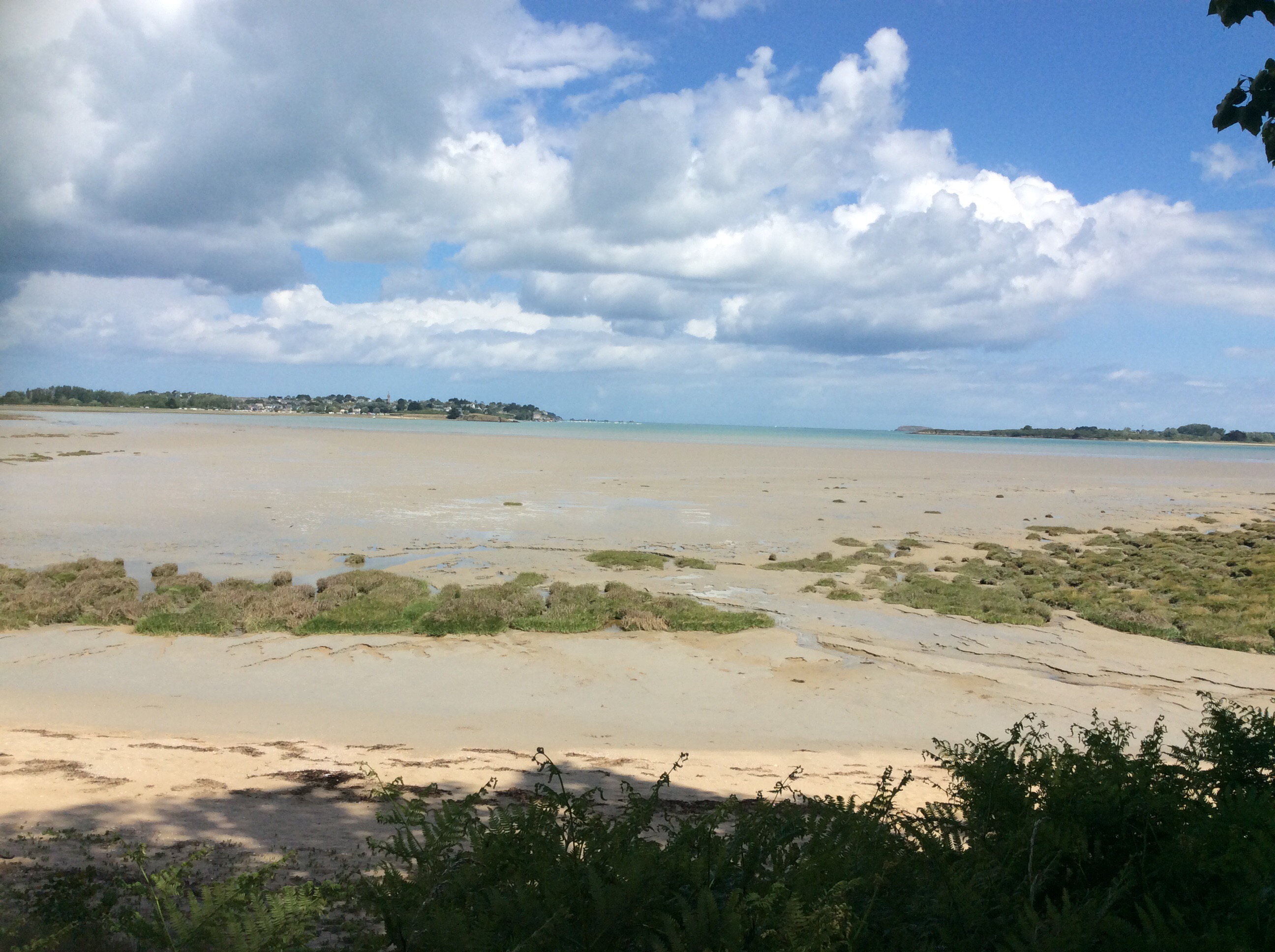
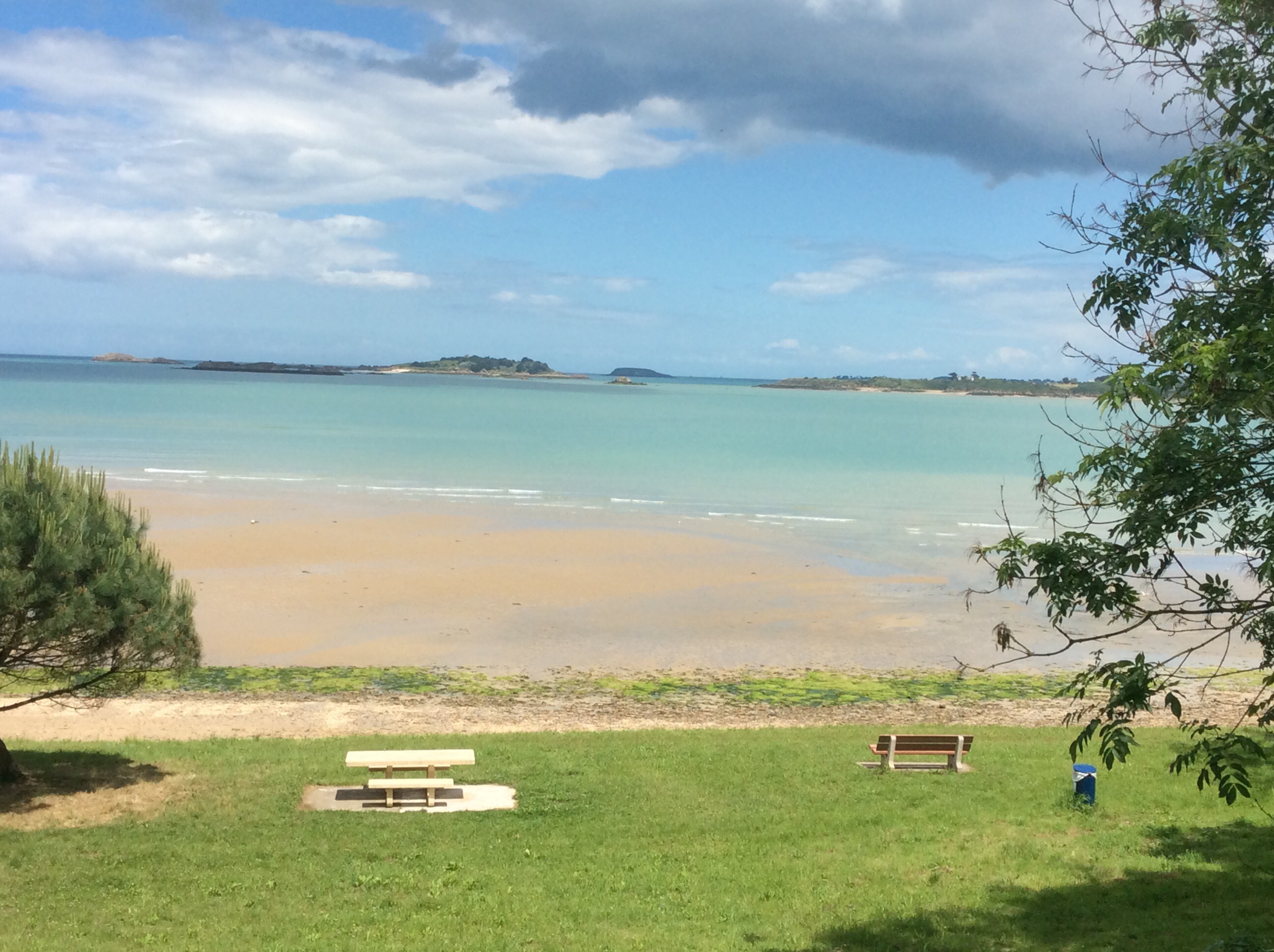
The headland on the left hand side of the photo above is St Jacut de Mer, and forms a thin peninsula. We cut across the land to the other side of the bottom of the peninsula, with a great view of the sea.
We walked down to Le Guildo, with a stunning perspective on the bay, just as a woman drove her van up and tipped hundreds of live crabs into the sea from the wall in the picture below. Tone reckoned that she hadn’t sold them at the Saturday market and put them back to keep them alive and for her fisherman friends to catch later.
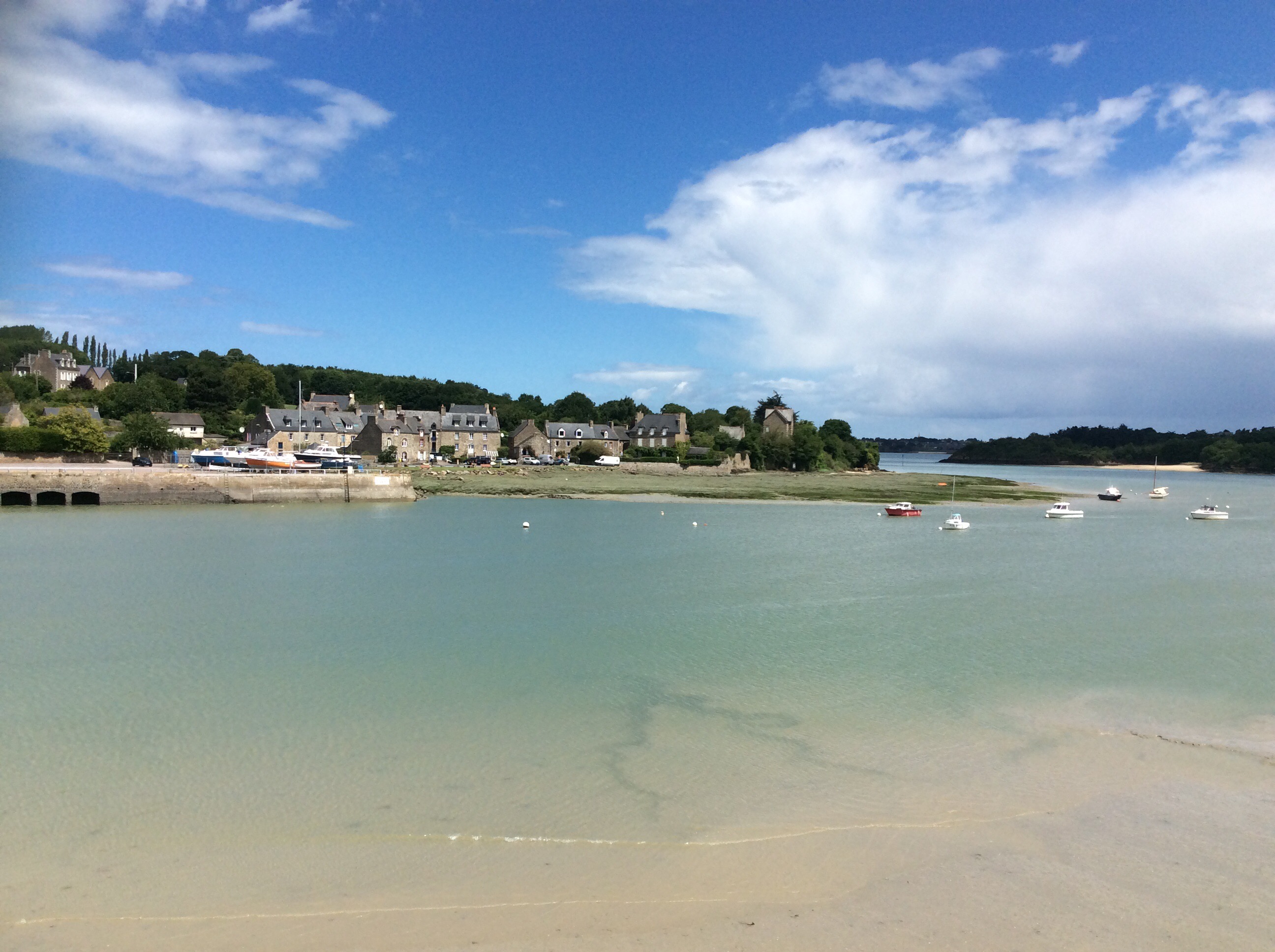
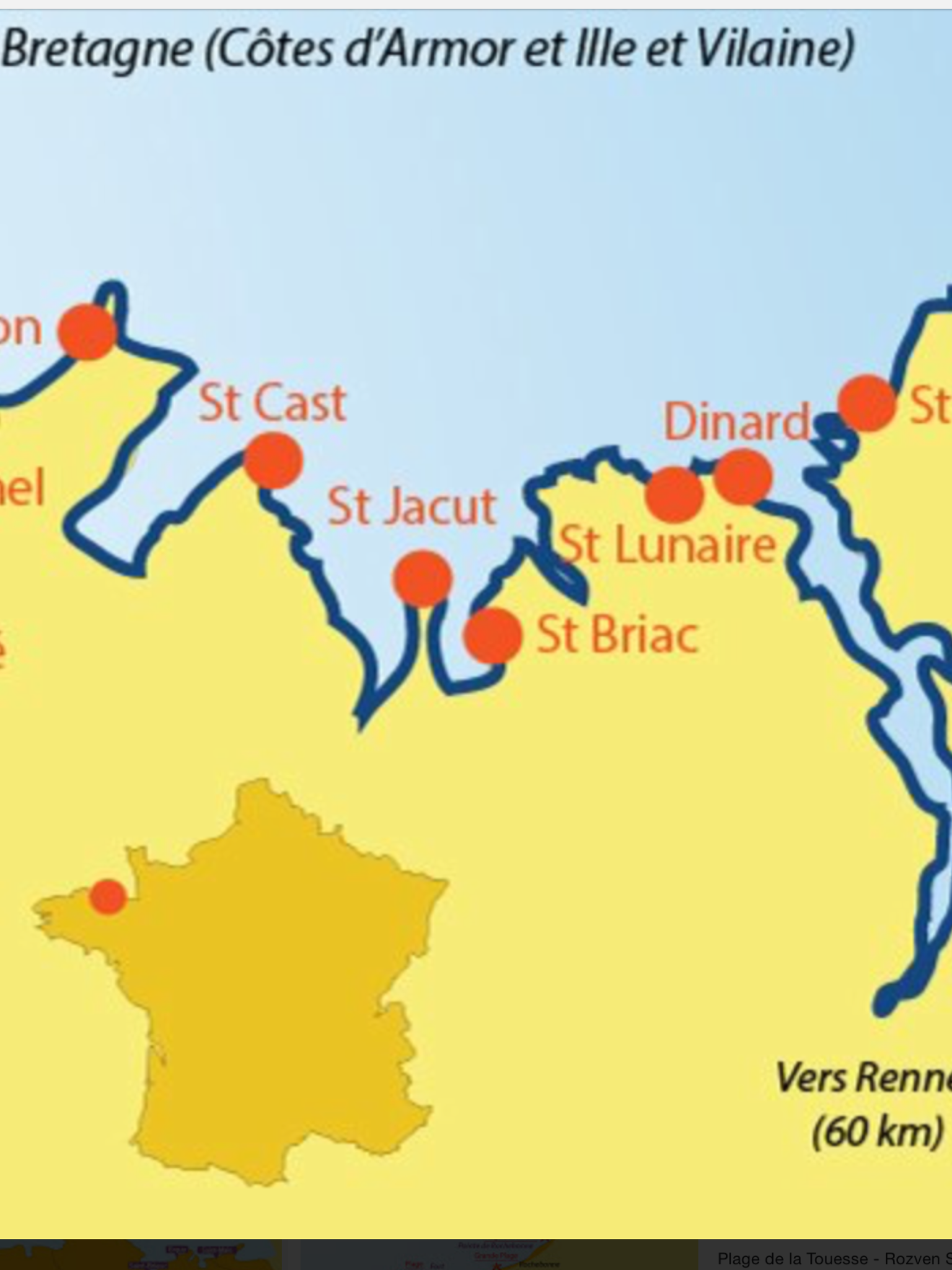
To explain where we were, in the photo below we had cut across from the airport south of Dinard to the sea just south of St Briac. We’d then cut over the bottom the St Jacut peninsula and started walking up the coast towards St Cast. Simples. The inset, darkened map of France shows, with a red dot, where this area is.
I love walking on my own but I really love walking with my missus and my kids. Preferably individually so they don’t gang up on me.
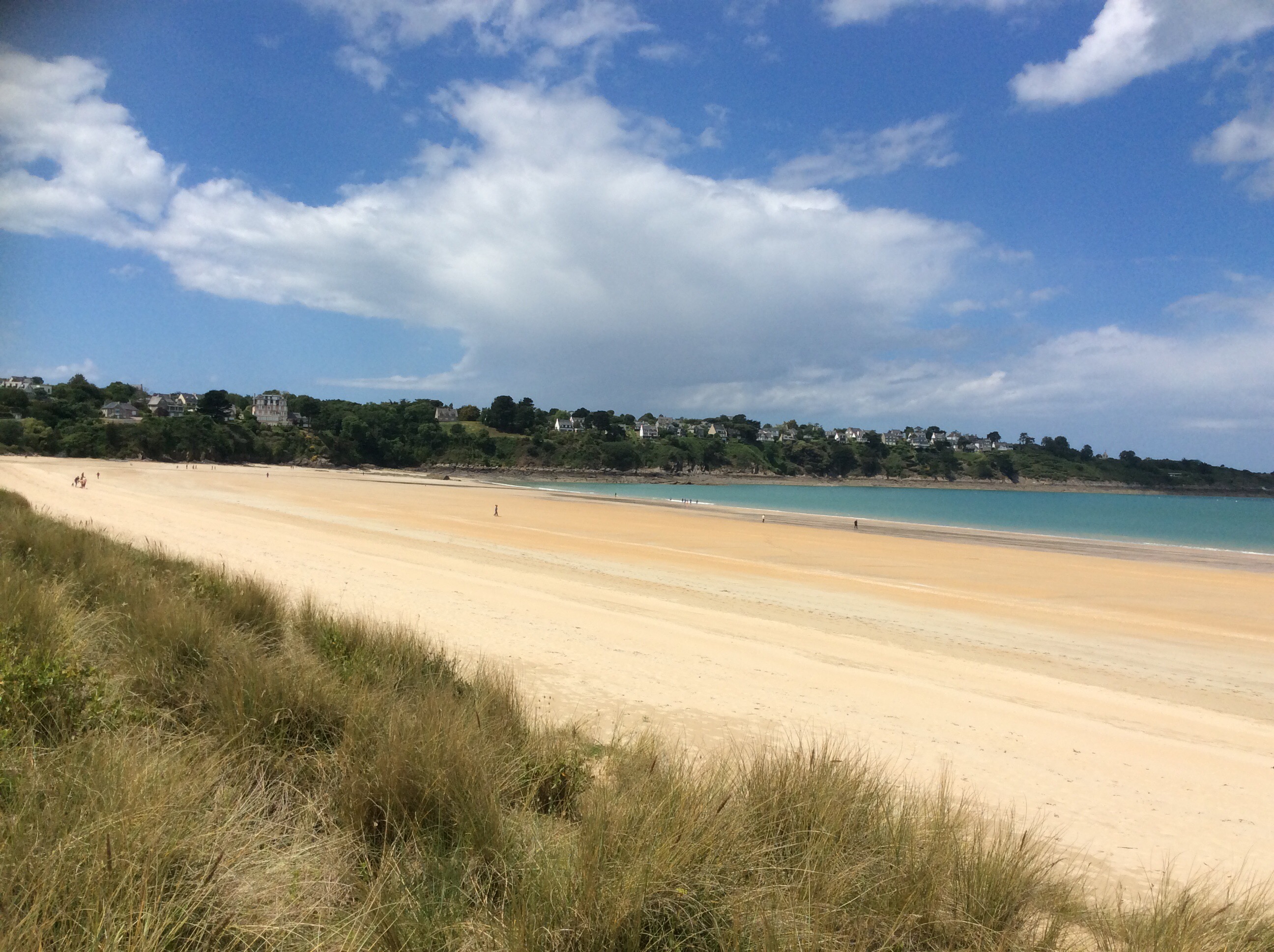
We were now on the GR34 coastal path which runs for 1,250 miles (1,800 kms) around Britanny, which is that big lump sticking out to the left of the red dot. A lot of miles I know for a small area of land but it bends and weaves around bays and peninsulas. And it climbs up and down to tiny hidden creeks and coves. A tough but beautiful route to follow.
The weather forecast for the next few days was grim, with stormy showers expected, so we wanted to make good ground whilst the weather was fine. The route was great with lovely opportunities for shots.
And finally turning up at the start of the bay before St Cast.
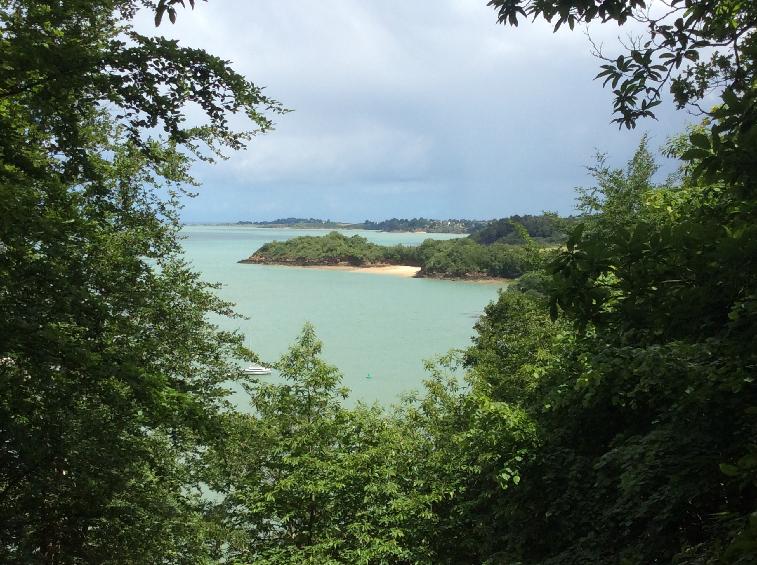
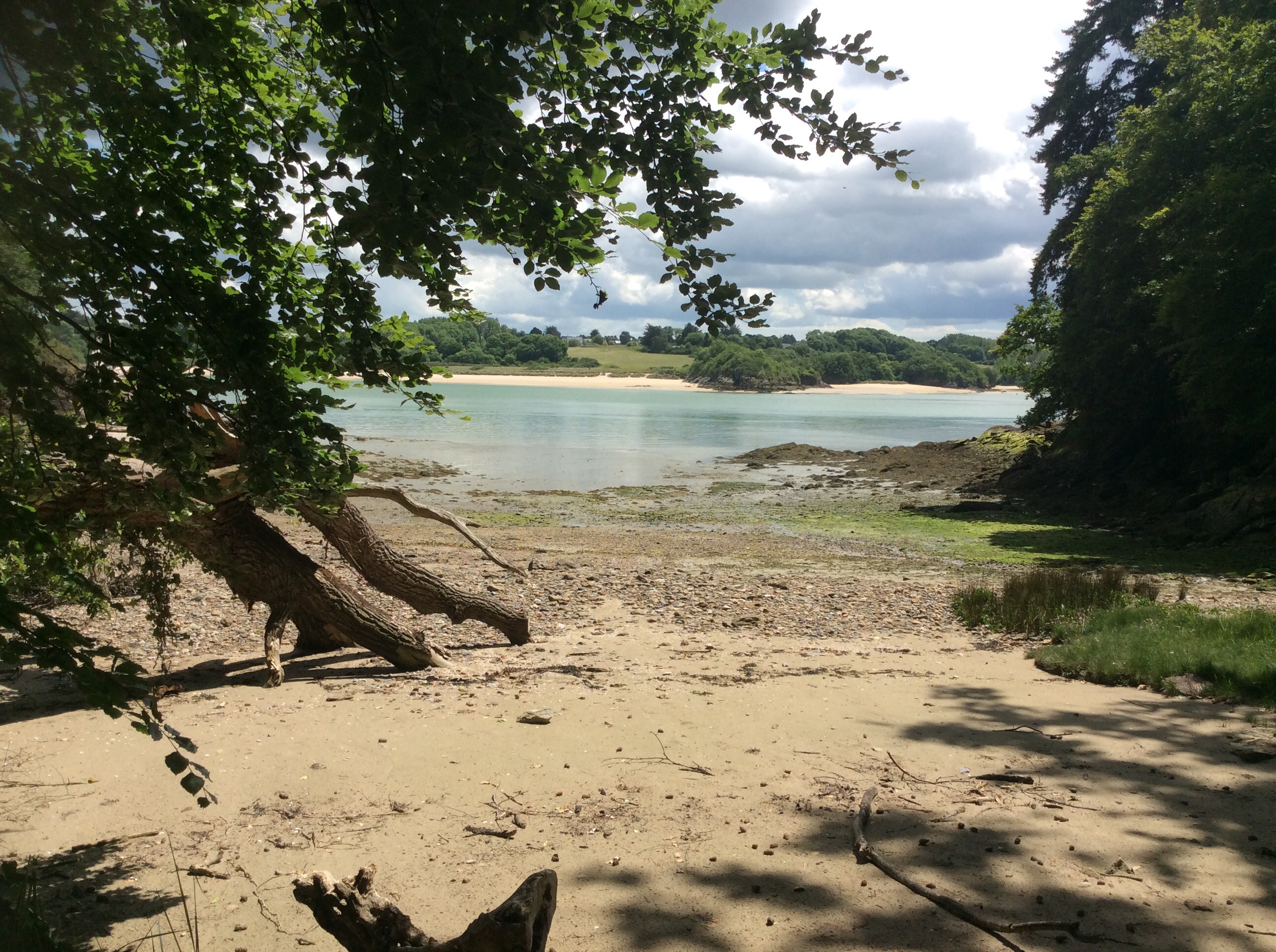
Every turn around a cape of land revealed another beach after beach after beach. Empty at this time of year.
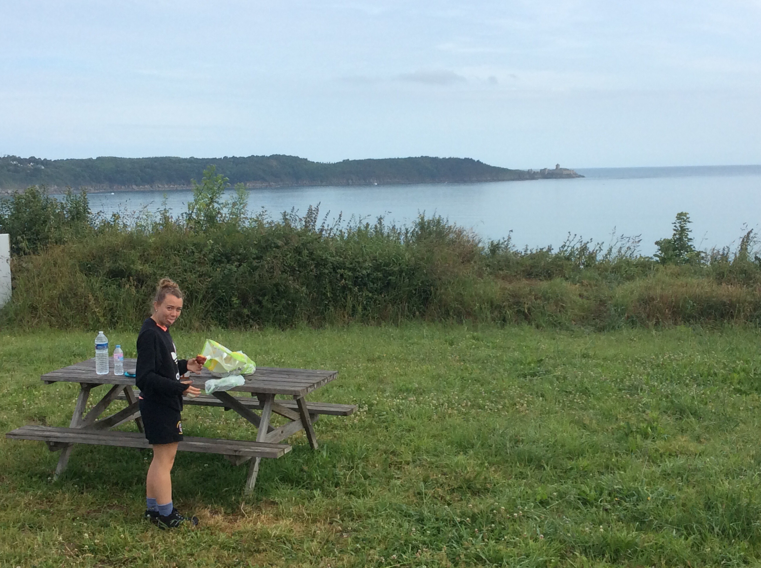
We found a bar in St Cast that cooked us Croque Monsieur and chips, a great bread and cheese concoction, then we headed for the local supermarket, stocked up and aimed for a campsite on the western coast behind St Cast. I rang to let them know we were coming. Halfway there a car pulled up and the woman passenger asked if I had phoned them half an hour ago. She was the woman I had spoken to and she told us the quickest way there. Tent pitched, showered, dinner of bread and Camembert cheese and an early night. A bit sore and weary but a great day. And a great view from our dining room, despite Tone pulling her tongue out at me!
Night night.
