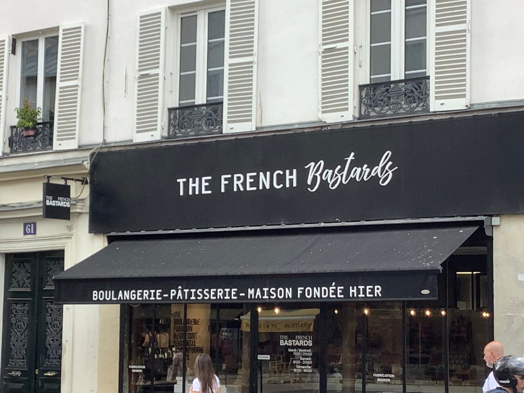
Etretat to Le Havre – Awfully Nice
Although I was on the fifth floor and the day had tired me out I could still hear Parisian Vendredi carousing well into the daylight hours. My 6.15 alarm must have found some kind of glitch in the matrix because it sounded out before I went to sleep. Even so I reported a score of 9.7 out of 10 to my missus so that she was proud of my hypnagogic transition and hypnopompic emergence. It’s amazing what nonsense you can find on the net.
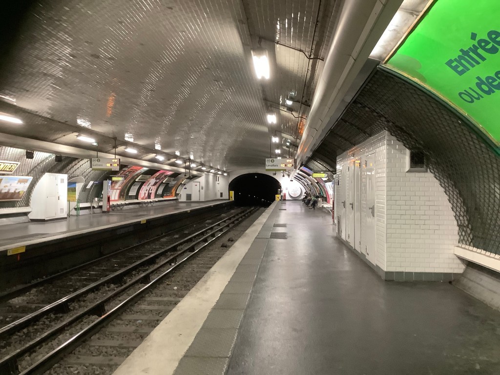
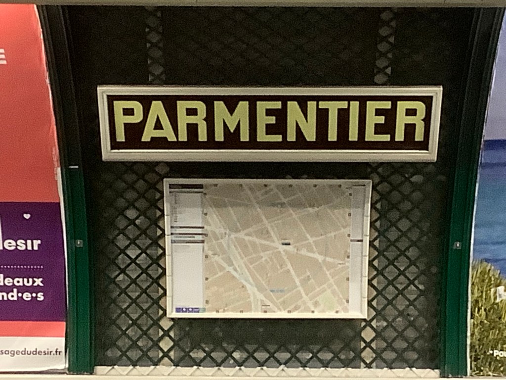
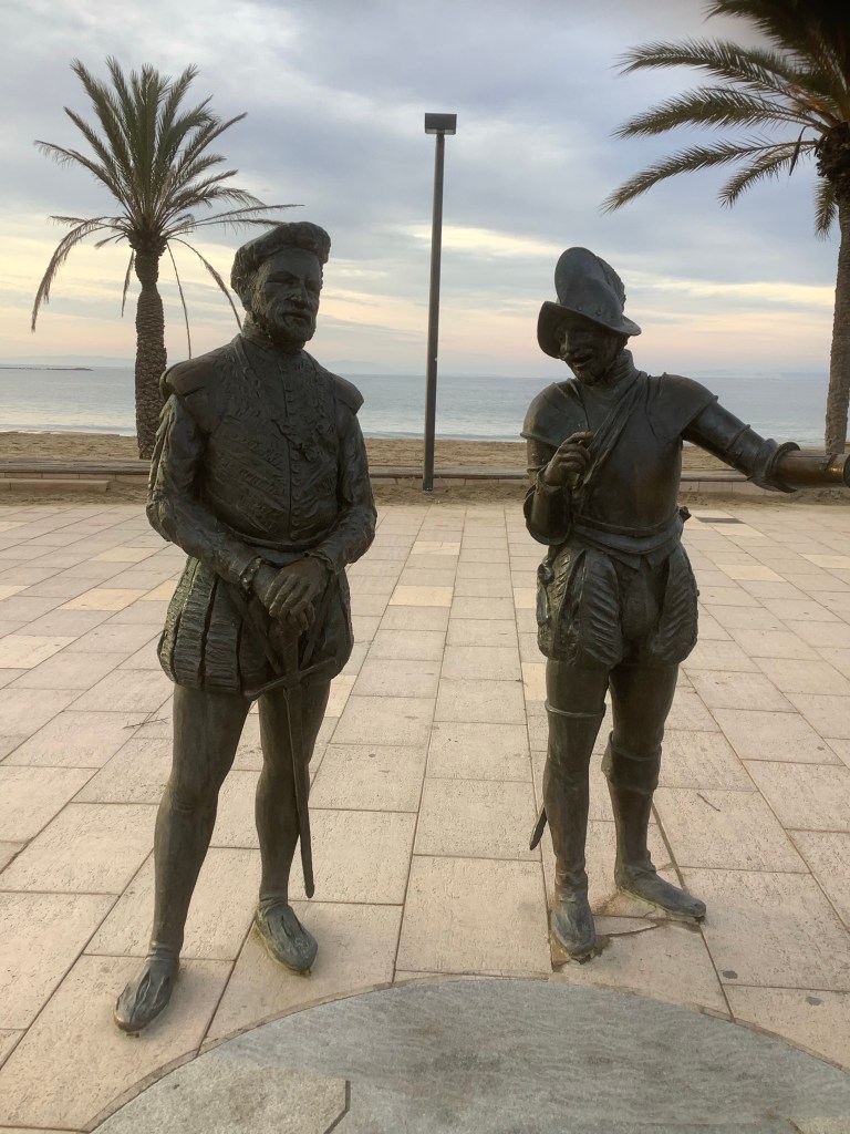
I packed my rucksack and belted it round to Parmentier metro. It was as dead as a doornail.
With a statue of Parmentier giving spuds to a poor person.
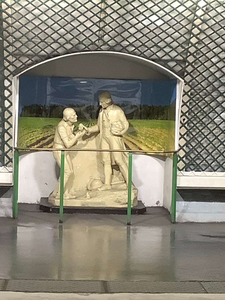
He was the world’s greatest exponent of mashed spuds, and if you see Summat Parmentier in a French restaurant then it’s like a posh Shepherd’s Pie. Our Froggy mate, Annie Carrere, does the best Duck Parmentier in the world.
The train journey started from St Lazare and the metro took me there before 7.30, where I enjoyed myself drinking coffee and eating a small Quiche Lorraine for breakfast. Wonderful.
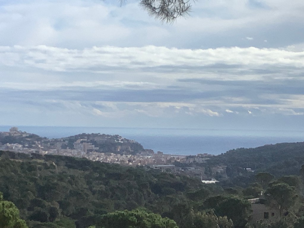
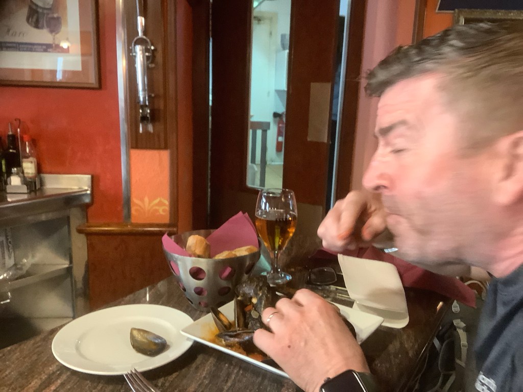
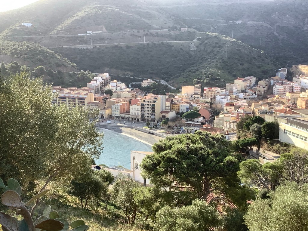
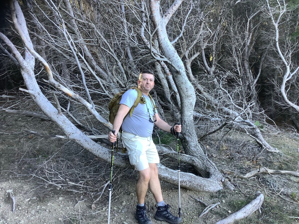
At 8.15, and that’s the time that it’s always been, thanks Andy, the train took off for Normandy. A little station called Breaute Beuzeville, where I switched to a local bus and landed in Etretat at 11.30. I was so focused on the walk that I didn’t even go down to the seafront. After six months with a broken shoulder and no trekking I just wanted to walk. And it was great. It hurts a bit putting the rucksack on but after that it’s all fine.
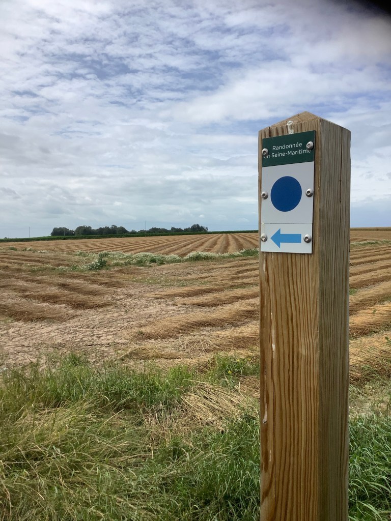
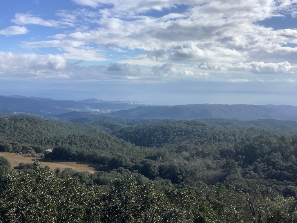
The track I was aiming for was far steeper than I thought, and it gave me a good workout, with a brief view of the Channel over the roofs of Etretat.

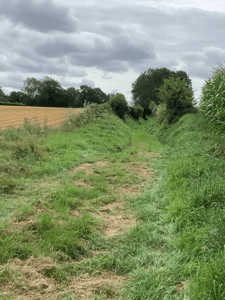
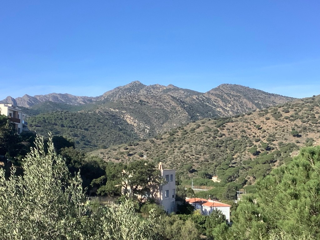
I expected this to be a country lane walk. I had to get some speed on as it was nearly 18 miles to my overnight hotel in Le Havre. And I did! But the best surprise was that the route I had chosen, over days spent on Google maps and Google earth, was more country paths than lanes. It was lovely.
One farmer had tried to block the path with electric fences but it was easy to get under it. Sadly people had given up and the path beyond was heavily overgrown, but it was manageable.
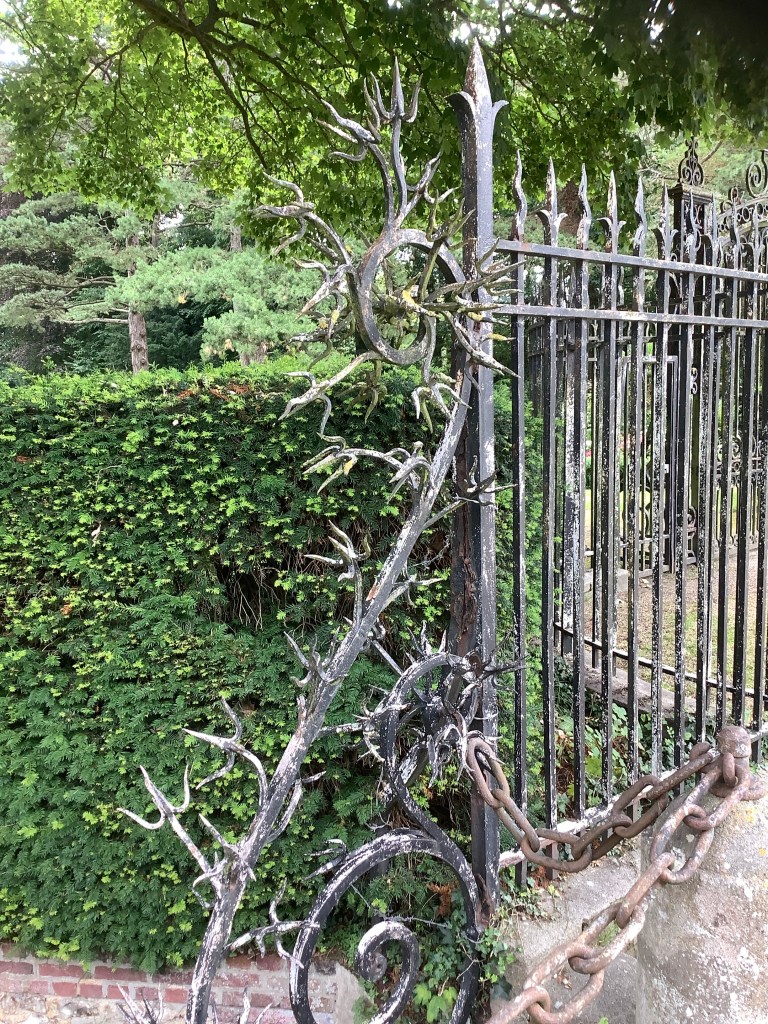
The path passed posh places (lovely alliteration), with great ironmongery.

I was really enjoying this. And the forecast rain held off and a decent breeze kept me coolish.
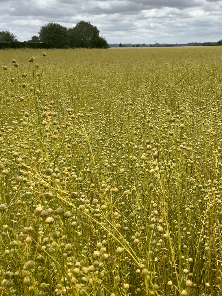
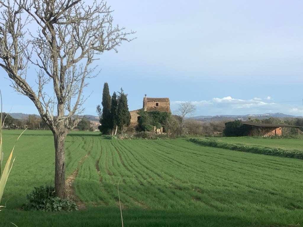
I’ve no idea what this is. But it’s great.
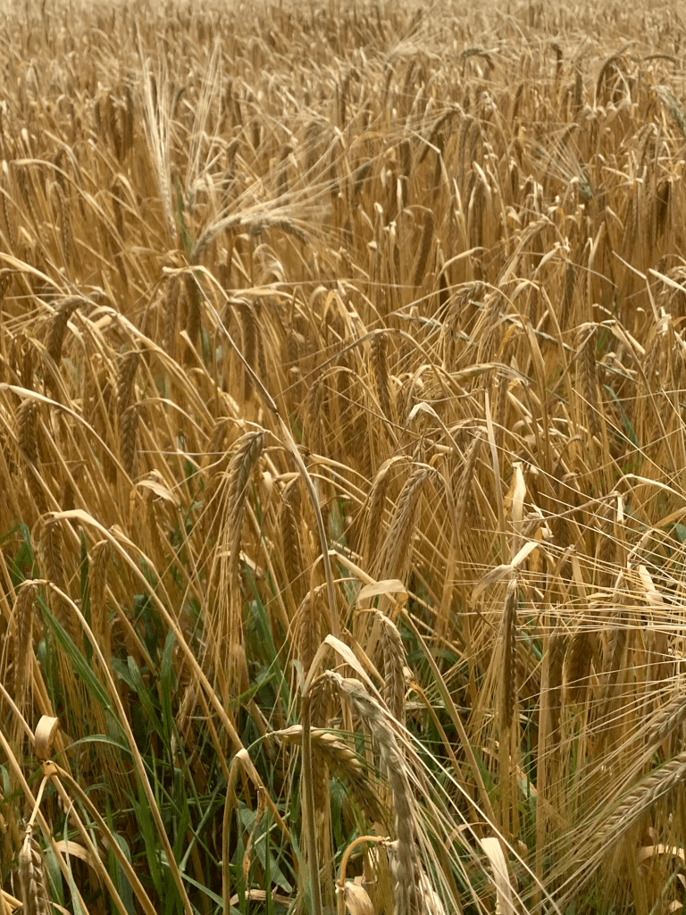
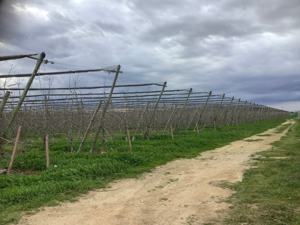
I think this is barley.
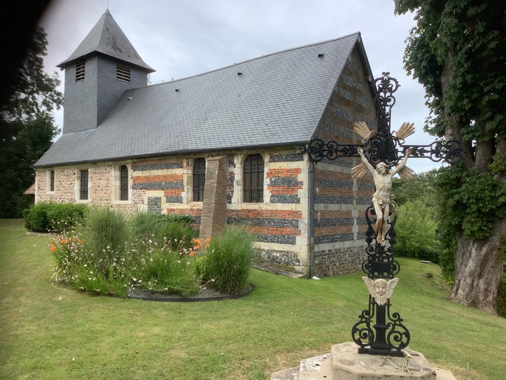
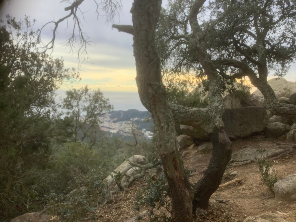
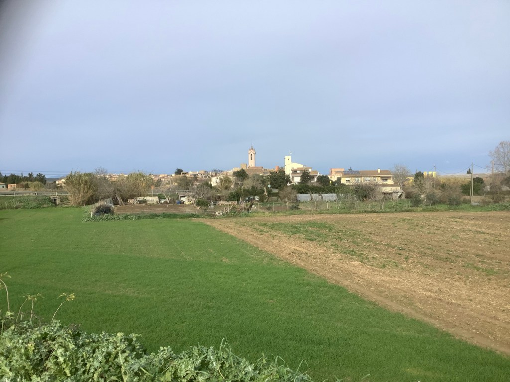
I didn’t meet anyone else walking. And where the paths moved on to country lanes I didn’t encounter any cars. Just peace. How good are these churches in the middle of nowhere?
In the middle of the afternoon things were beginning to hurt a bit. I’m 69 years old and a bit of a fat bastard, so carrying 12kgs in my rucksack at a fast pace over 18 miles (27 kms), up and down country paths is a challenge.
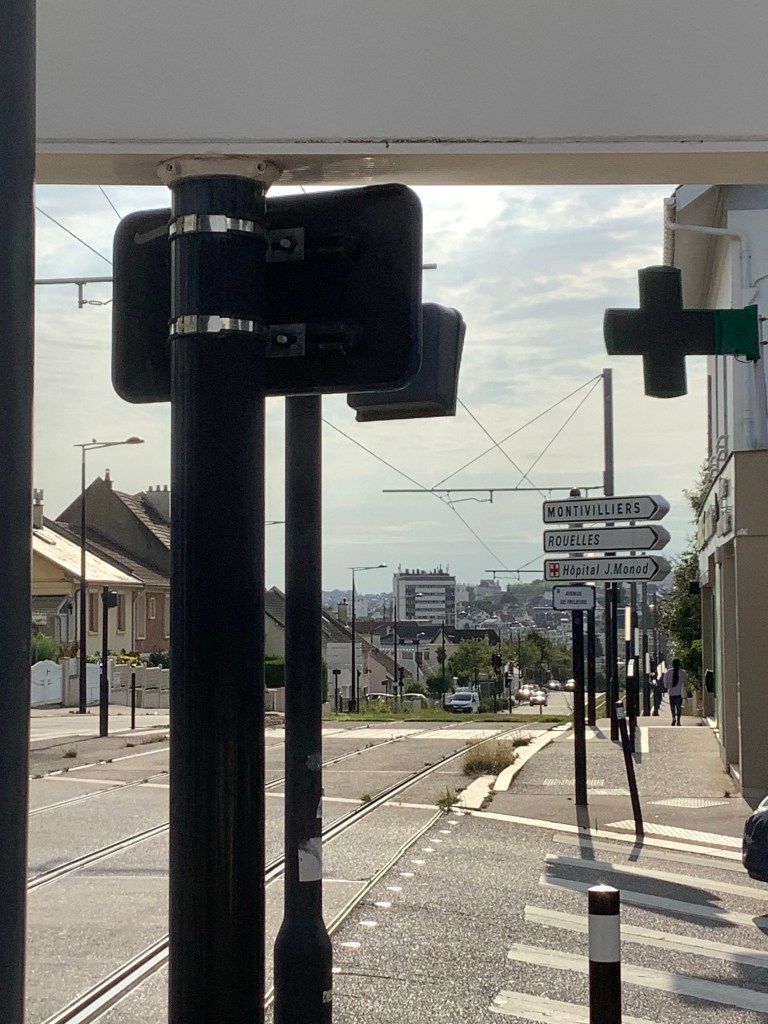
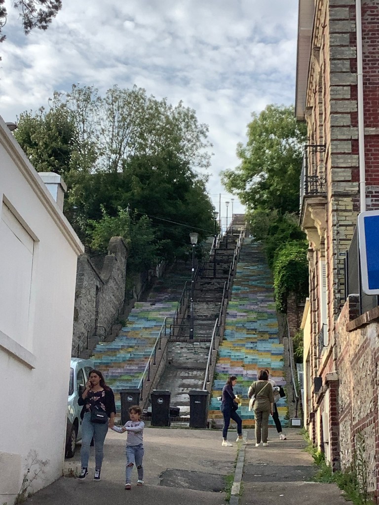
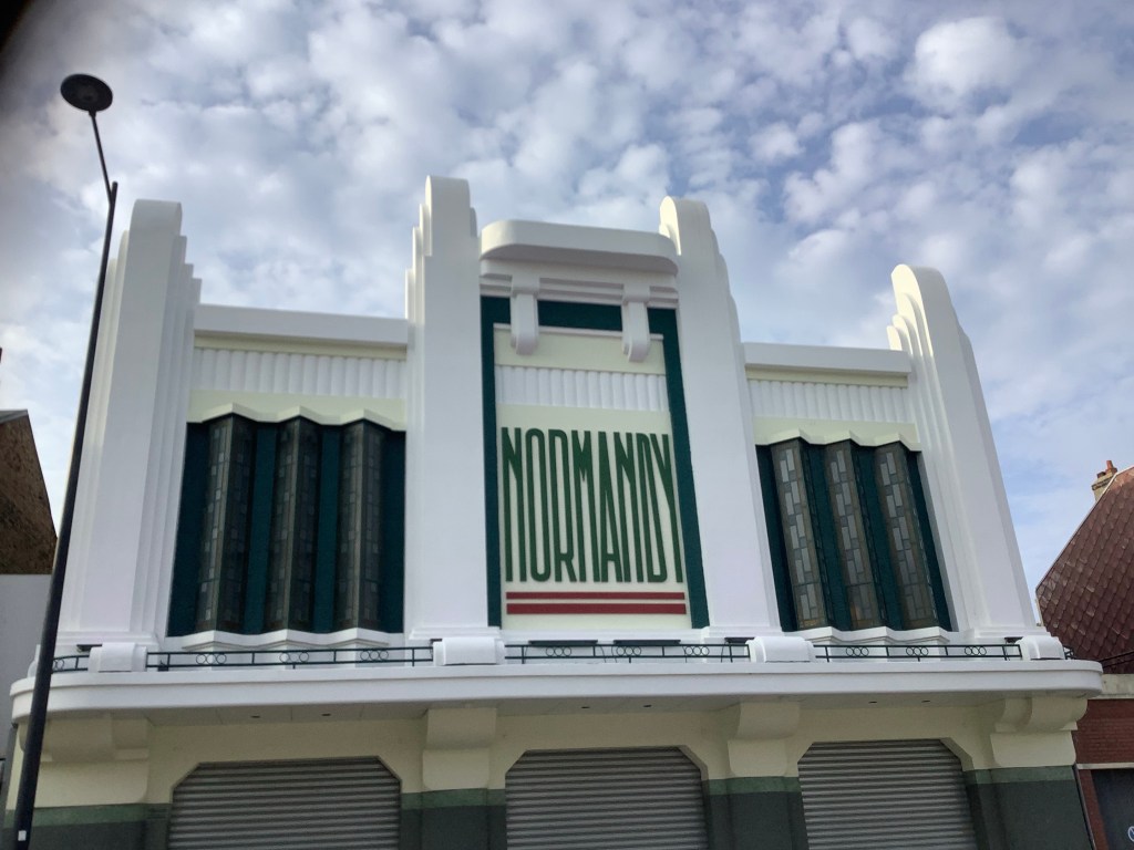
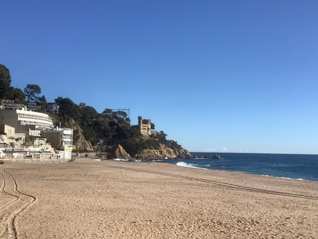
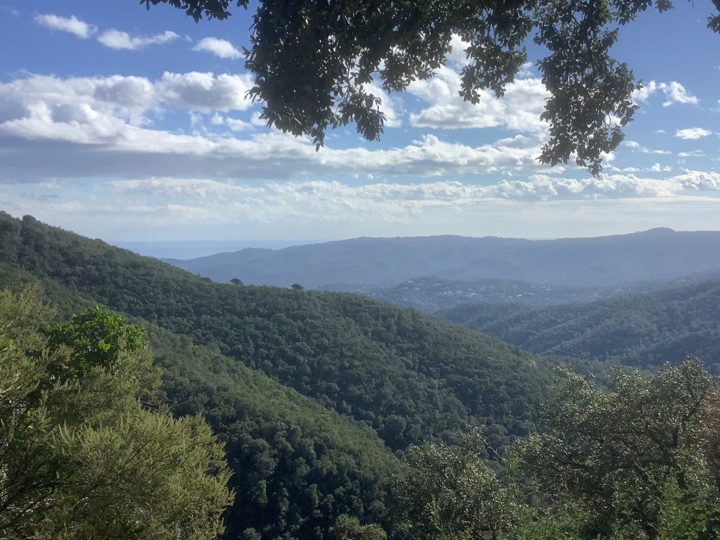
I’ve enjoyed today. The rain started in Etretat but then held off. The paths were far better than I thought. And the piece de resistance was Le Havre. I was skirting the centre, coming down from the north to the east side of the docks area. It’s not attractive and me and Maggie have been in and out of the Le Havre ferry over the years and haven’t spent time in the city. Cop this! It’s west coast USA!
And this.
Well, the walk was really nice and Le Havre outskirts are lovely. Maybe not Richmond, but I got carried away. 18 miles was good today, after a late start from Etretat, so I’m happy with my progress. The weather is forecast for quite heavy thunder storms tomorrow and I’m putting up my tent tomorrow night. Oh dear. Never mind.
Sleep well my loves. Night night.
Etretat to Tours – The End of the Beginning
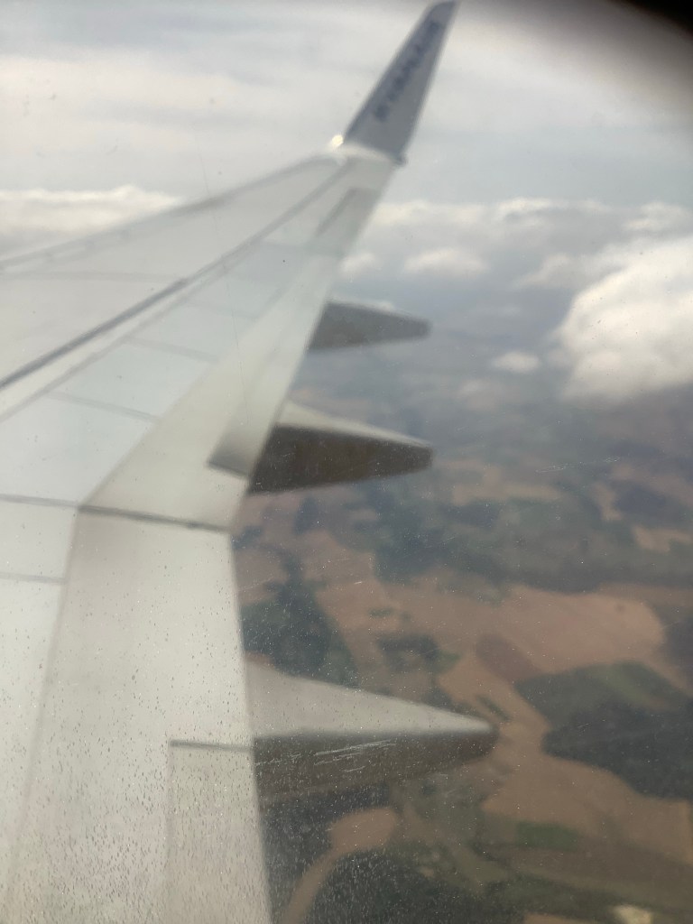
Thanks Winston. I’m off, I’m off, I’m off in a motor aeroplane. I’m not averse to fundamental change but I’m dreading the day when a BBC news reporter calls it an airplane. Anyway it’s set off from Leeds and it’s landing at Paris, courtesy of Ryanair.
Well it’s not really Paris. In fact it took an hour and a half for the bus to get to Paris. In fact it really should be renamed Oslo, Beauvais. In fact I really get peed off by people who say ‘in fact’.
It’s great to be a moaner. Nobody expects light or loveliness to emanate from you. They just expect moans. That’s how stupid most people are. They wallow in their own stupidity. Moan bloody moan!
The bus finished at Port Maillot in Oslo (Paris) and I was staying in a relatively cheap hotel quite a way eastwards near Parmentier metro station. I might be an old git but I worked out how to get there. Are you proud of me?
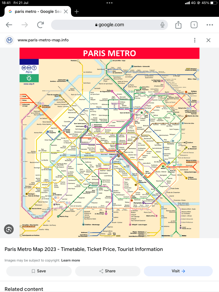
It’s obvious! You get the RER C from Neuilly-Port Maillot one stop to Pereire-Levallois, walk underground to Pereire and then take the 3 line eastwards 15 stops to Parmentier. Less that two quid. Kismet Hardy! It was as scary as it can be at Pereire-Levallois. A huge underground station that was completely empty. It was a 5 minute walk down the empty platform to the exit. With lots of hiding places for scary people. Oh mummy, I should have bought those disposable underpants that Maggie talked about.
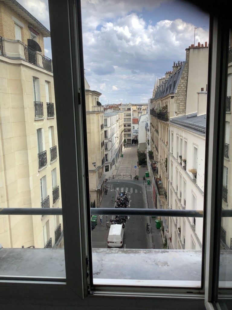
Anyway, my hotel is nice and I’m on the 5th floor. Hotel Luna Park. No lift but I haven’t had much exercise today.
Why the end of the beginning Dave?
I have walked, in stages, from John O’Groats to Lands End to Dover and from Calais to Etretat, a beautiful town on the Normandy coast.
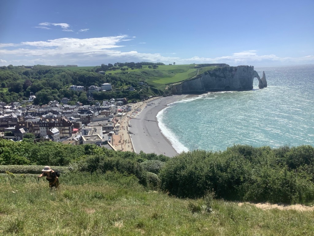
Tomorrow I’m getting a train and a bus to Etretat and then walking 230 miles southwards to Tours. Then the beginning of the end starts, with a further Trek onwards from Tours at some stage, down to Spain. Maybe next year.
I’m free, and I’m waiting for you to follow me. Thanks Roger.
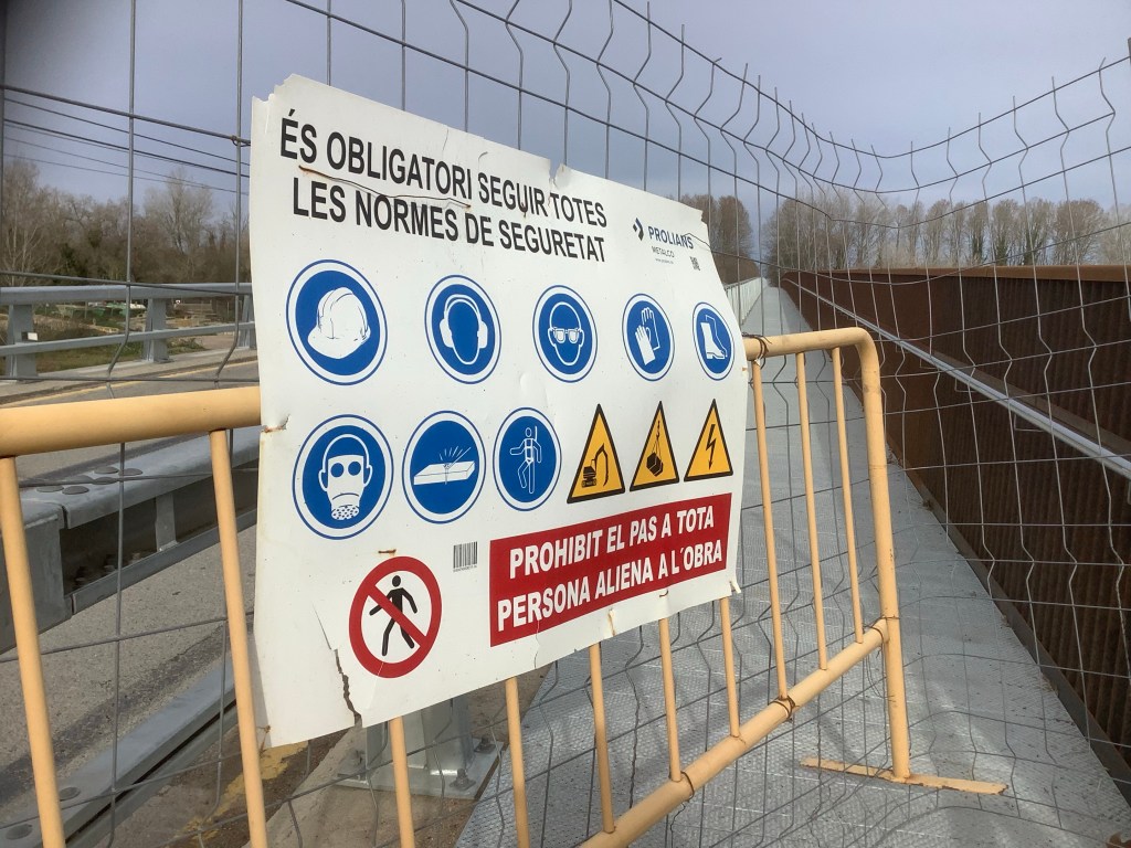
This sign supported what I had always thought. (sorry mes amis Francais. Je vous aime).
Thanking you for your attention. Much obliged.
Night, night.
Homage to Catalonia
The path was beautiful. It merged mountains, forests and spectacular coastal scenery in a great 100 and summat mile walk.

The weather was fantastic, the food was brilliant and our respect for Estrella deepened into the equivalent of a bromance. Alemance? Estrellamance!
The people are a little grim we found. If you break the ice with some then they are as good as gold, but most are too big a challenge. And like our previous Spanish walks every rural property is fiercely defended by (mostly) captive dogs.
The most poignant part of the trek was the hotel in Tossa de Mar where the woman behind the bar turned out to be Ukrainian. She was there with her two daughters and her husband was back in the Ukraine serving in the army. By the end of her story Gary, me and the lass were all in tears.
However, ten minutes later we had the funniest part of the trip. An old French hag and her husband started telling us how awful England was. Our food is disgusting, our towns, countryside and people are naff and she’ll never come back. Her and her husband were from Perpignan on the Mediterranean coast of France. They did a house swap – with a family from Grimsby! Apart from a short trip to London this was her only exposure to the UK. Grimsby! Me and Gary started laughing and couldn’t stop. She said the family from Grimsby wanted to stay permanently at her house in Perpignan. Another 15 minutes of uncontrollable giggles from G and D. Chuffing Grimsby.
The view below isn’t Grimsby!

I’m still hurting quite badly sometimes when the painkillers wear off. I’ve broken my arm where it fits into the shoulder socket, but it’s reasonably secure as long as I don’t arse about. I’ve got 5 more weeks of hospital attention through reviews, physiotherapy, a further x-ray, then take it from there. I gave it quite a bang. This is the back of my arm from below the elbow to the shoulder. But it could have been a lot worse.

Don’t try this at home!
I’d just like to thank my mate Gary. He looked after me, got me to hospital in Spain, carried both rucksacks, like a Nepalese Sherpa, and helped keep me going until I got home. Love you mate. Thanks!
I’ll be in my boots before summer for another yomp but I’ve no firm plans yet. It will be somewhere great. Planet Earth!
Night, night.
Sant Feliu to Tossa de Mar – the Forest Path
The path wound up into the hills, again. The GR92 is way marked by a Polish flag emblem on trees and rocks along the route. But you have to keep alert, like this one on the rock.
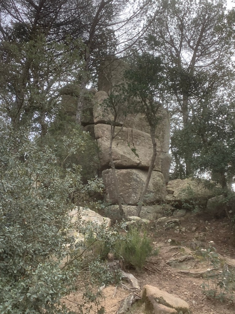
We lost alertness and both missed a turnoff, which cost us an additional kilometre. The route was fascinating, with ancient Menhirs dotting the way, and many cork oaks which had been stripped of their bark for bottle corks like this one next to the Menhir. Booo! But it grows back. Hooray!
Some of this was real Lord of the Rings stuff
With most of the views, when not covered by trees, being inland to the mountains.
With an occasional seaward glimpse back towards Sant Feliu. Or forwards to Tossa de Mar.
We were knackered when we arrived, our feet have taken some stick on the rock and tarmac surfaces. So we decided to shorten the last day to finish in Lloret del Mar. Another sunny day. And this route was following one of the Camino de Santiago pathways.
By midday we were not too far away.
And Lloret was quite attractive.
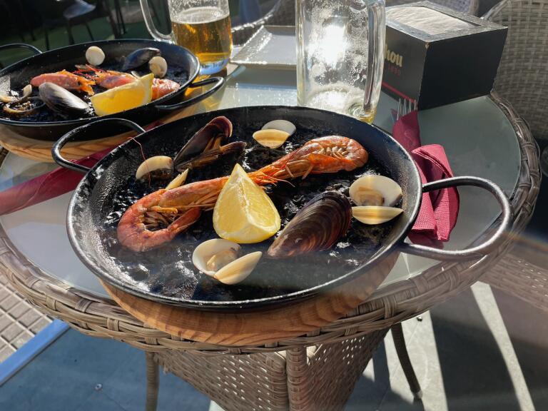
We had a fabulous black rice seafood paella on the front.
And then on the way to the hotel I tripped on a raised disability ramp on the pavement. The weight of my rucksack threw me forward and I thrust out my left arm to cushion my fall. It broke up by the shoulder. The last few metres of a ten-day trek and I was in agony. The local hospital were great and I’ve got strong painkillers and a sling but it may need surgery. They were touch and go as to whether they would accept me on the flight home this morning. In any event it’ll take 3 months to mend. Silly old bastard!
I’ll be walking again. Blog you then.
Night night.
La Bisbal to Sant Feliu – Finally the Tables are starting to turn! (Thanks Tracy)
We’ve broken this walk’s back today. And thoroughly enjoyed most of it, with the exception of the last 5kms. Decent breakfast, our signature two fried eggs, bread, coffee with milk and freshly squeezed orange juice. Can’t beat it! Well, I suppose you can beat two eggs. But not the rest.
Another beautiful day, clear and crisp, with Christmas decorations resistant to being dismantled.

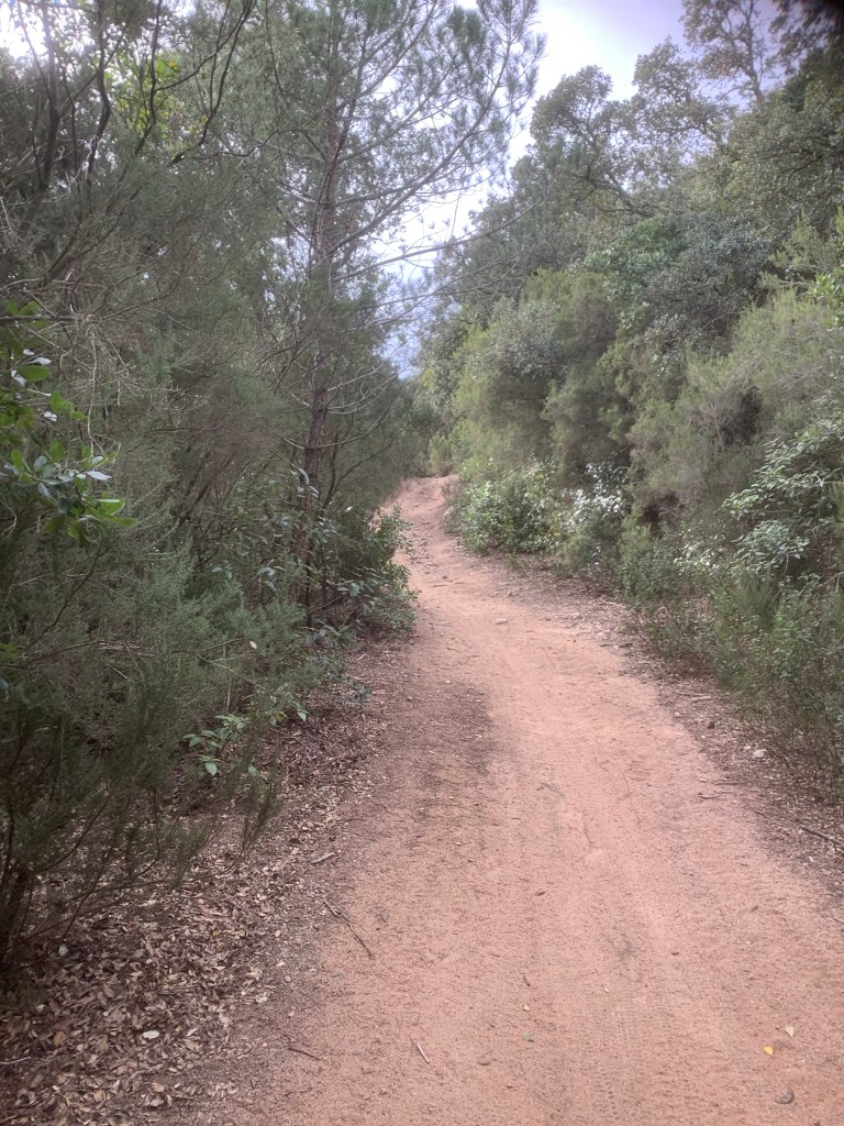
We were soon out in the country with a good pace into the mountains. There is an enormous sense of freedom when you’re trekking. You’re tied to a rucksack with all your worldly goods in it, you’re usually tied to the route as well but the freedom is in your face. In your lungs. In the aching muscles in your legs. In the magnificent views.
The pilgrims on the Camino de Santiago in north west Spain greet each other with the word Ultreia! It is the perfect Latin summary of the spirit of trekking, even though I don’t feel particularly drawn to the Camino. It means Let’s keep going! Let’s go beyond! There is always another horizon! And there is, whether you look at it in Spain, Scotland, England, France or Nepal, there always is, until you are too old to reach the next one. Then you die. Brilliant!
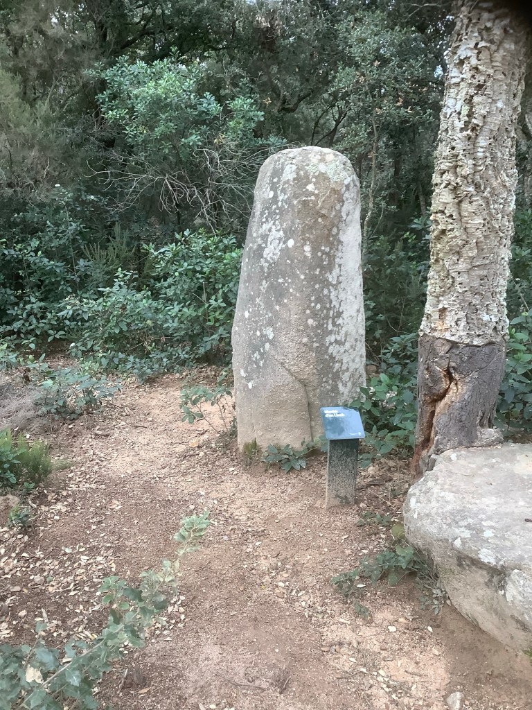
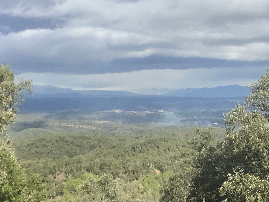
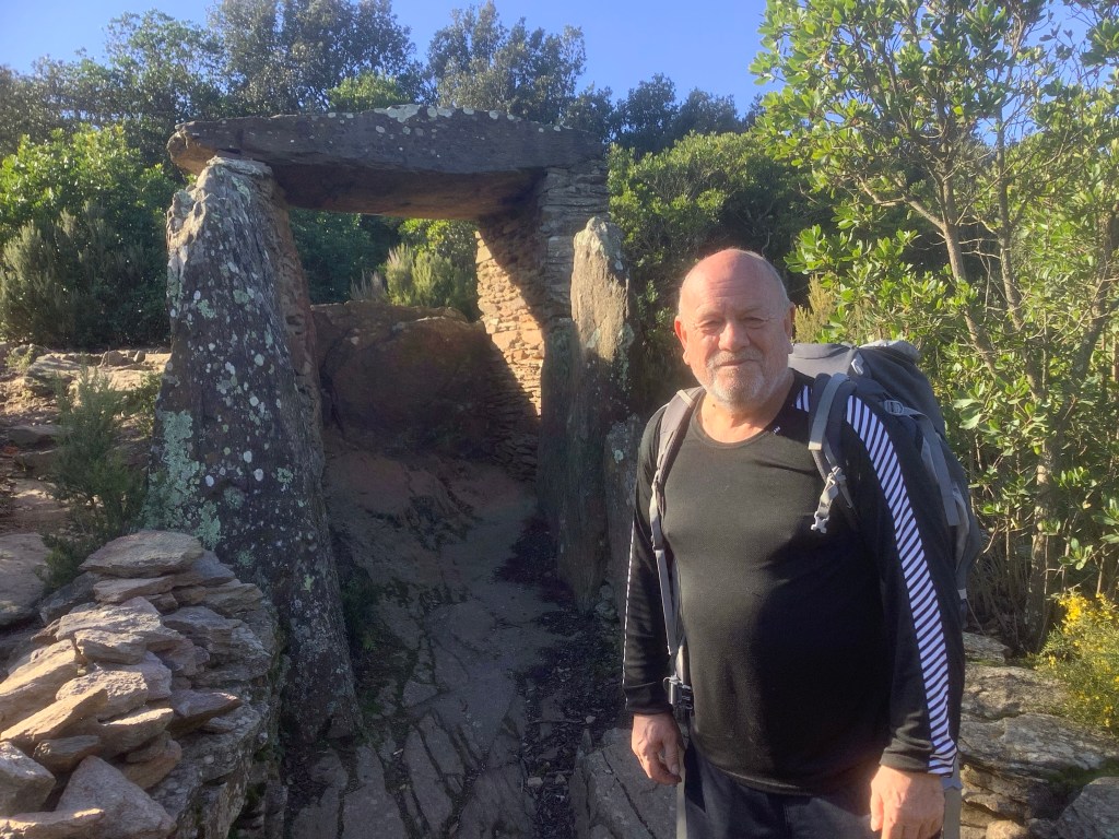
We made it finally to the top of the mountains through forest and up to the highest point of the journey so far. Just under 2,000 feet, the same height as Kinder Scout. Taking a detour to the absolute summit we were treated to a magnificent Dolmen. This burial structure was erected by local lads over 5,000 years ago. Incredible.
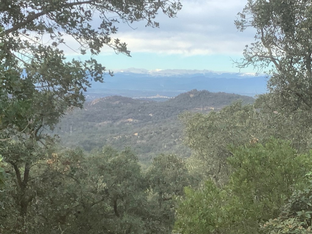
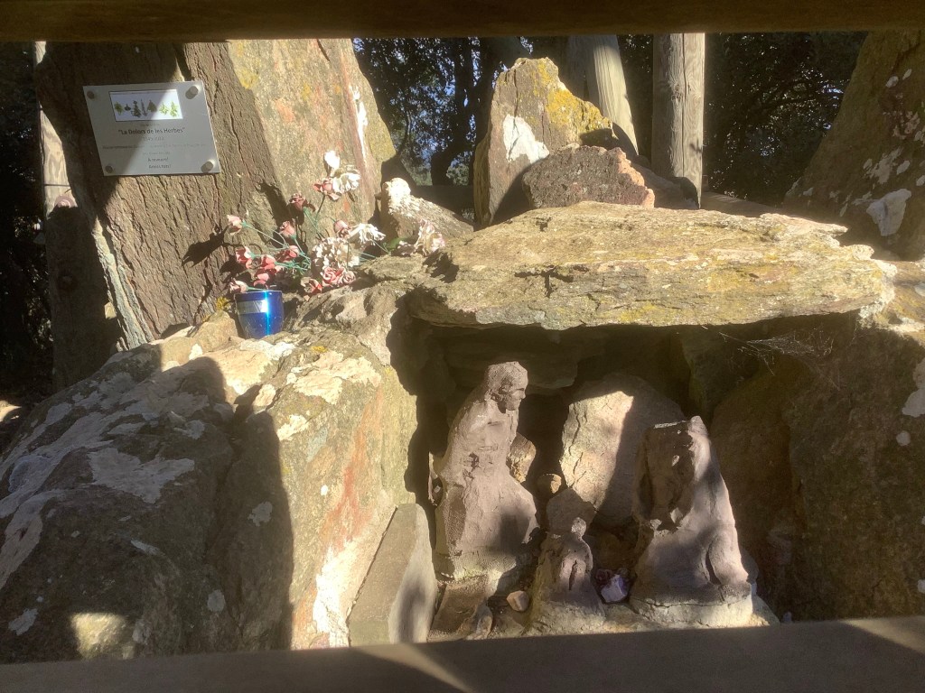
Then we came across the view of the trip, a 360 degree panorama from the top of a wooden viewing platform by the side of an unmanned meteorological tower. Just wow! We rarely see people throughout the day, and this was no exception.

By the side of the viewing platform was a weird shrine, with almost pagan clay images of people and children. We had seen similar memorials on the way up. Very odd.
The track dropped down and back up but mostly down. Our feet are wrapped in three layers of blister plaster but we bravely strutted on! Well, with a whimper and some old mens’ noises every now and then.
One of these photos is an intelligent being and one is an ass. Answers on a postcard to……….
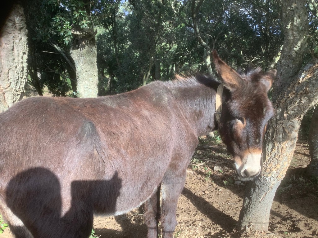
And this is a carved representation of Gary first thing in a morning.
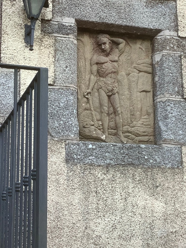
The poor lad’s taking a bit of stick but that’s what Leeds fans are for.
Some graffiti is good, but it is very much the exception!
And as daylight faded the boys beat a retreat to Sant Feliu de Guixolls. To a decent hotel owned by a Uruguayan female ocean rower and a tubby spouse born in Italy, brought up in Croydon and rooted in Catalonia.
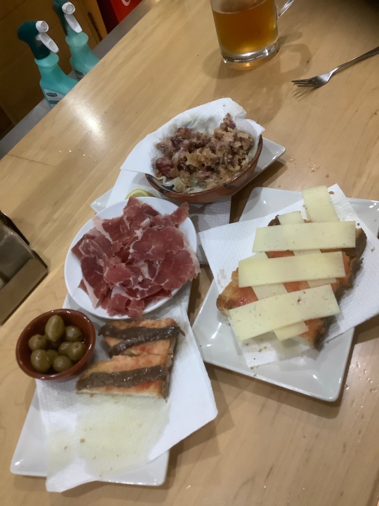
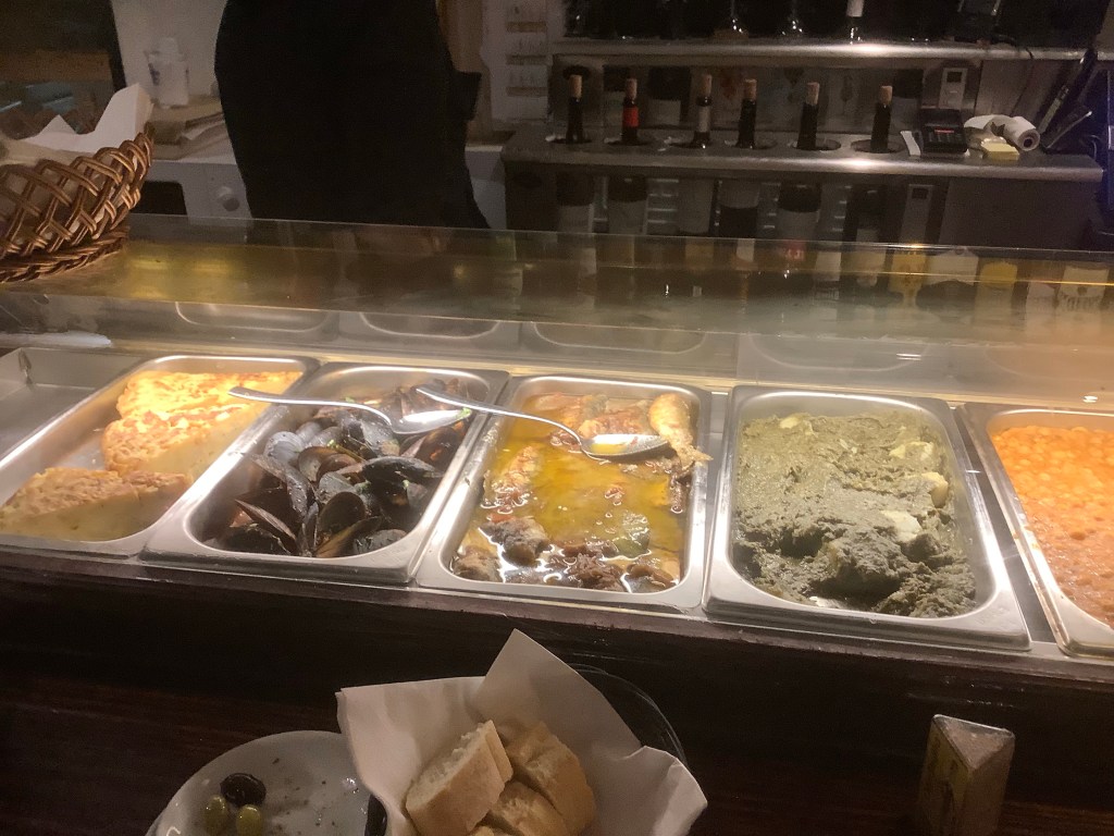
Round the corner was a tapas bar with the most amazing selection of scran. A perfect end to a perfect day.
Night night.
L’Escala to La Bisbal – It’s Starting to Hurt!
Woke up feeling ropey, aimed for McDonalds and it was shut, aimed for a cafe 5 miles away and it was vegan and full of cyclists so we ate bottled vegetables from the supermarket and felt sorry for ourselves. Gary climbed through nettles and I clambered through brambles. Life hurts sometimes.

There were no redeeming features on this walk. We had to cross a river and there was only one bridge, which banned pedestrians from crossing. Luckily we were able to dismantle the barricades at both ends.
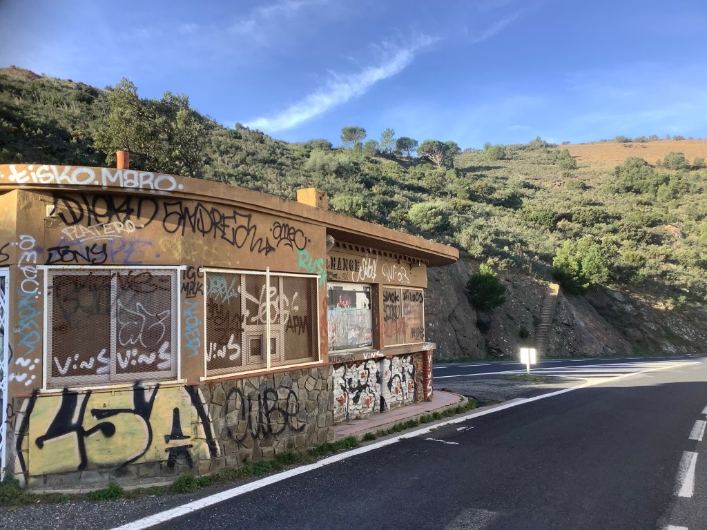
The towns and villages round here are shut. Empty as a pocket. Thanks Paul.
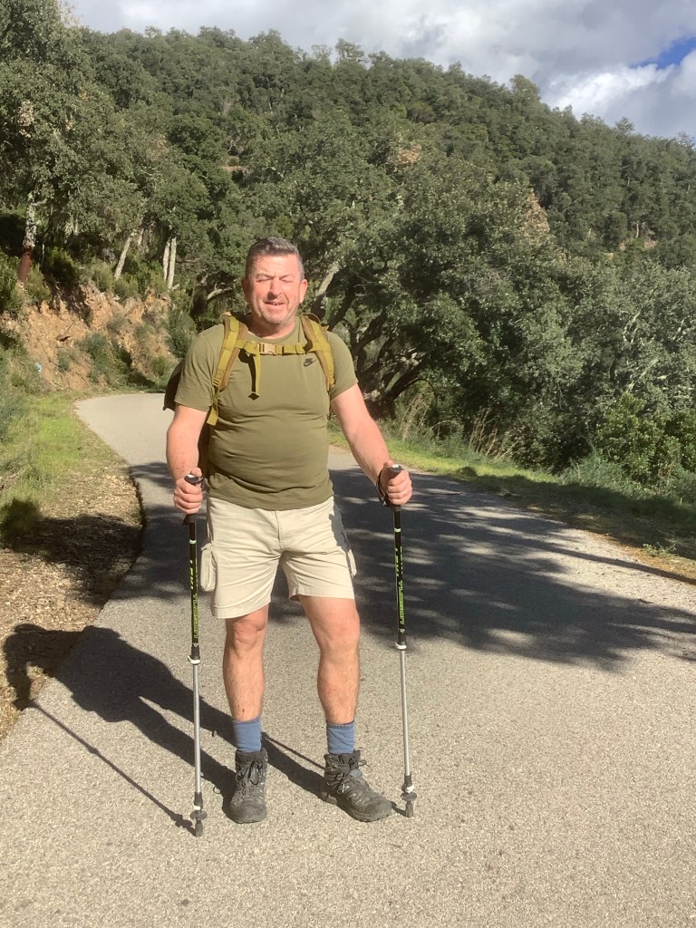
Today was a long walk, mostly on dirt tracks, across an inland plain, followed by a climb across a mountain range tomorrow to get back to the sea. This route would save us two days walking compared to following the coast. It was a variant of the coast path, the GR92-1, rejoining the GR92 at Sant Feliu de Guíxols. Here’s Gary, drinking water and eating tortilla in a supermarket. Bet this is a first! Blinking mad Leeds fan.
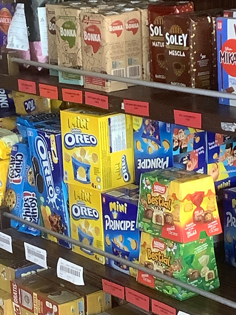
What is happening in Catalan supermarkets? This one is selling Bonka and Bestial Mix!
Then off again. We are crazy cookies. Just can’t stay still in one place for five minutes. Absolutely bonkas. Thanks Rik. Rest in peace lad.
The rain in Spain stays away mainly from the plain. And where’s that soggy plain? In Spain, in Spain! Thanks Audrey and Rex. Memories of childhood shall appear within this room. Thanks Roger.
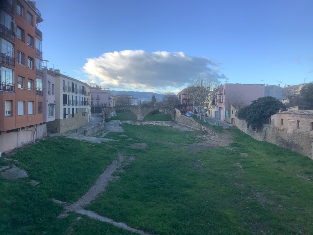
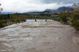
As the sun went down we waltzed into La Bisbal, to find the hotel we had booked earlier was closed, didn’t answer the phone and ignored emails. Worse still, the booking terms said that if we no-showed they would charge anyway, and they had my credit card details! We wandered over the bridge on the (seasonal) river Daro.
Which looks like this after rain in Spain on the plain. Thank you I stock.
The night ended well. We had one of the best burgers in the history of cows’ rumps and found a Hostal that would accept English vagrants. Bring on tomorrow!
Night night.
Roses to L’Escala – Round the Bay, A Long, Long Way
Woke up, fell out of bed, dragged a comb across my head. Thanks Paul. But totally unnecessary with my follicle challenge. We ate breakfast in the hotel and pushed off with great purpose. The longest day today, all on flat land but nearly twenty miles of it.
These two looked like those blokes who stand still to make you think they are statues, and then move to startle you. But they were statues. Unusual shorts.
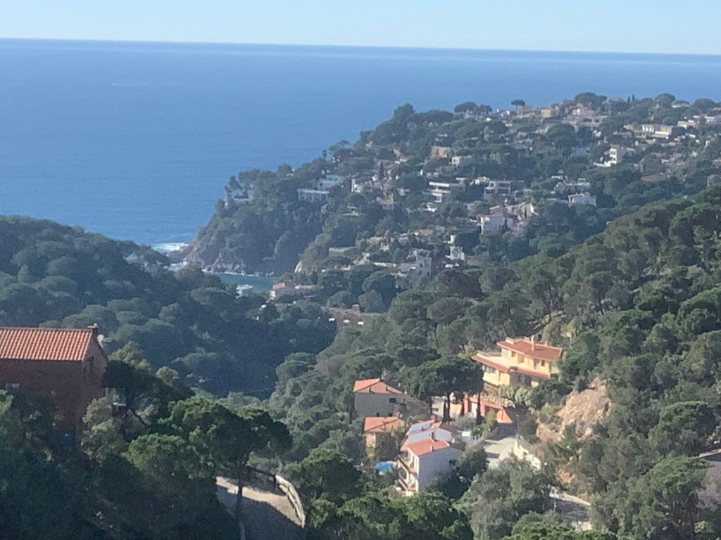
The route was around the Gulf of Roses today to L’Escala; a town where me and Deborah (my sis) went to twice in the late sixties on family holidays. Bitter sweet memories. In the distance the snow topped Pyrenees stole the show.

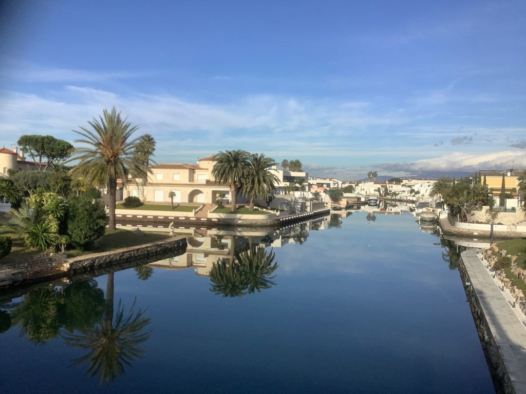
It was flat all the way, with sea-lake type developments.
Just an extremely long slog. Sunny but cooler.
Anyone walking away from this did well.
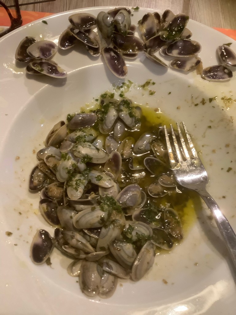
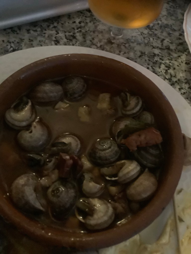
Stopping after five hours walking Gary loved these mussels and I tried the local specialist dish of fried artichokes with eggs. A brilliant combination.

Setting off on the last leg the route wove through mile after mile of orchards and on down to the sea.
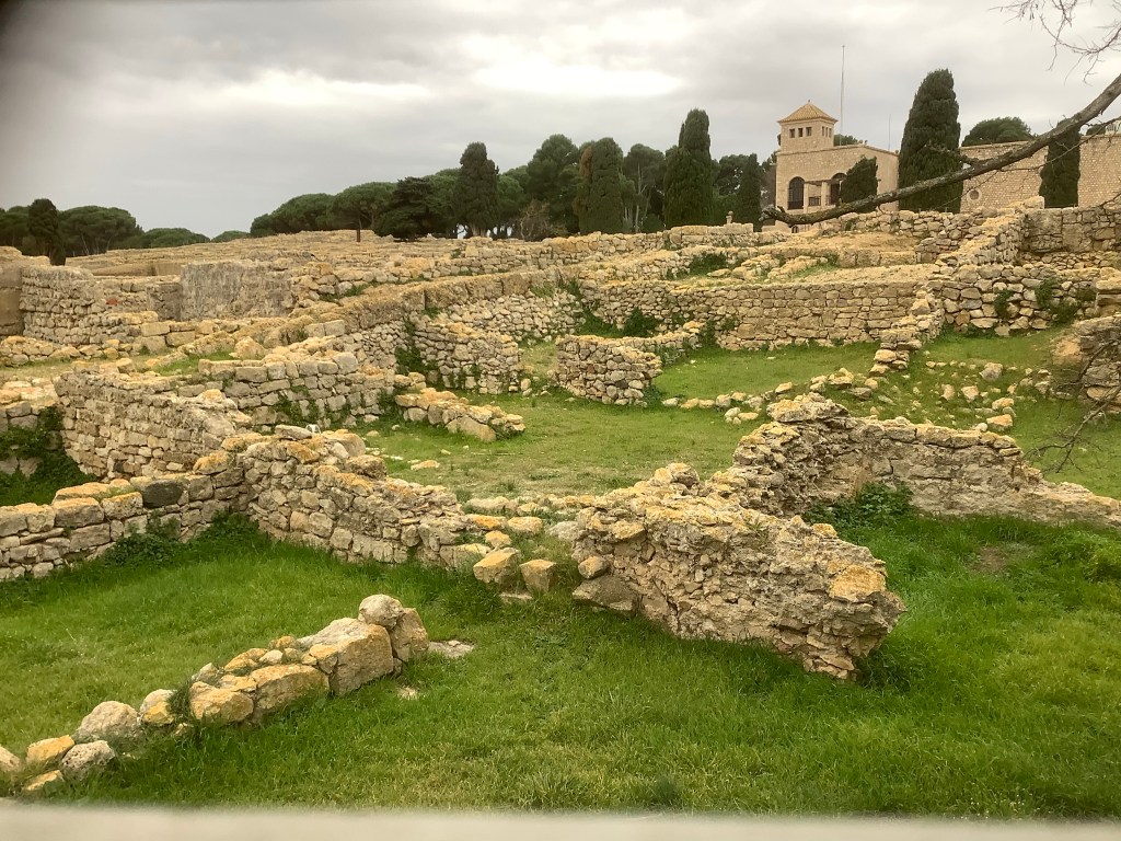
Walking across the sand was draining. The track passed Empurias, a complete Roman town, well, complete apart from no roofs. And no walls. Or windows. But mainly complete.
Then a quick dap down the beach to L’Escala, as it started to rain. More great tapas and an early night.


Night night.
Cadaques to Roses – All Things Bright and Beautiful
The sun was out again this morning and we made our way down to the harbour and into a cafe for fried eggs and bacon. Fantastic.
On the way out of town we bought a couple of sea bass, big spuds, butter, aluminium foil and some asparagus. It might come in handy later. Goodbye beautiful Cadaques. It was a blast.
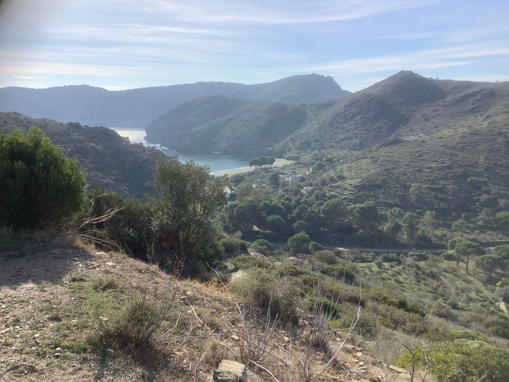
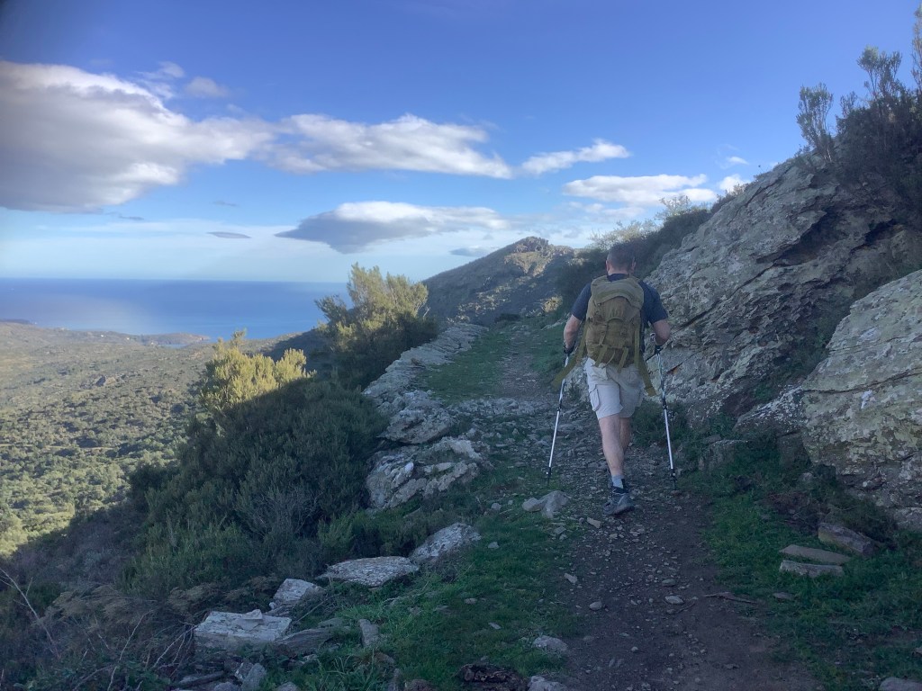
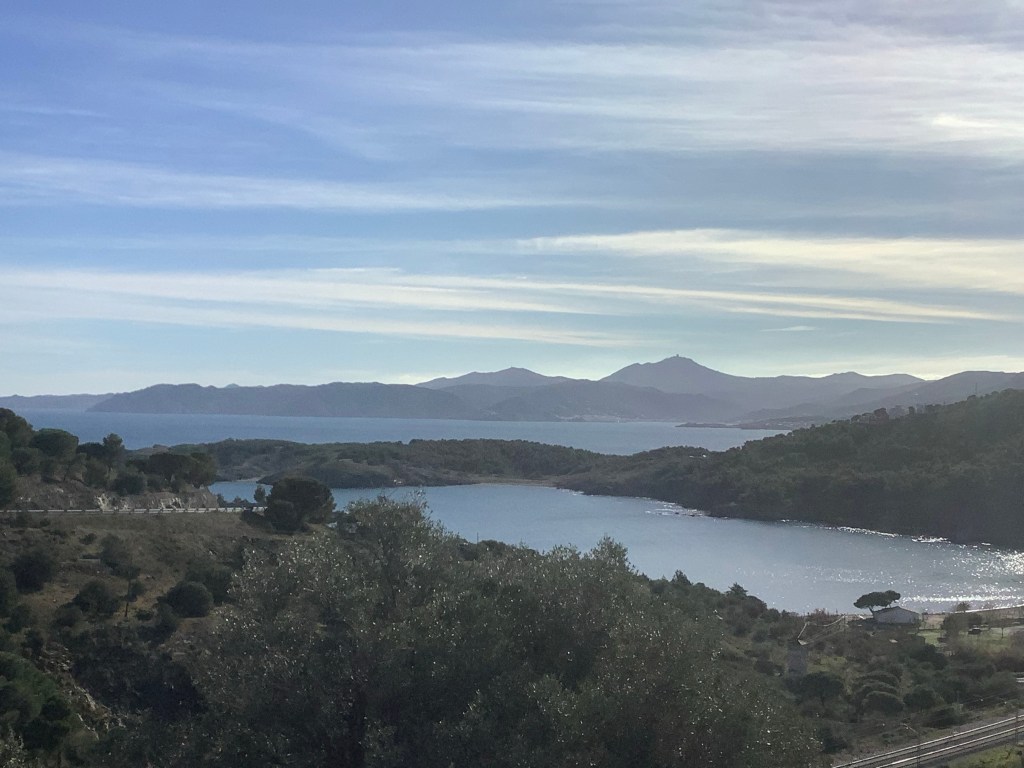
The GR92 winds back up into the mountains and crosses over them to the south coast of the Cap de Creus and on to Roses. The uphill hike was tough going, but with magnificent views. The route dropped down and crossed the beaches in small, remote bays, before climbing up again. A treat for determined trekkers!
And the heat of the sun was both testing and revitalising. This was becoming one of the great days of walking.
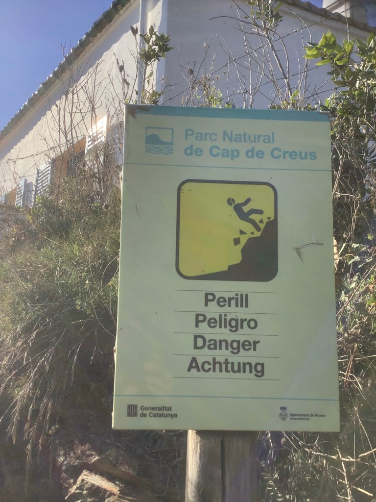
Then the cliffs kicked in, and we were warned of what happens to barmy old blokes who aren’t careful where cliffs are involved.
There were a few rich folk having fun on their boats in the quieter bays.

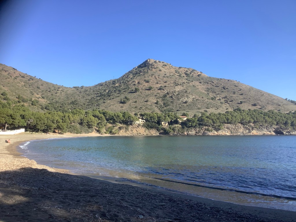
At two thirty we finally happened on a deserted beach that had a steady supply of driftwood. So we whipped out the cigarette lighter and our supermarket scran. What a delight.

The sea bass was beautiful.
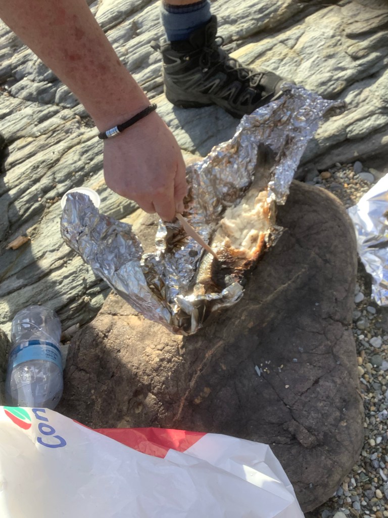
It is illegal to light wild fires in Catalonia under the regional bye laws, so we made sure to fully extinguish this one when we finished. And then set off on our last stage of the walk to Roses, as the sun was slowly sinking.
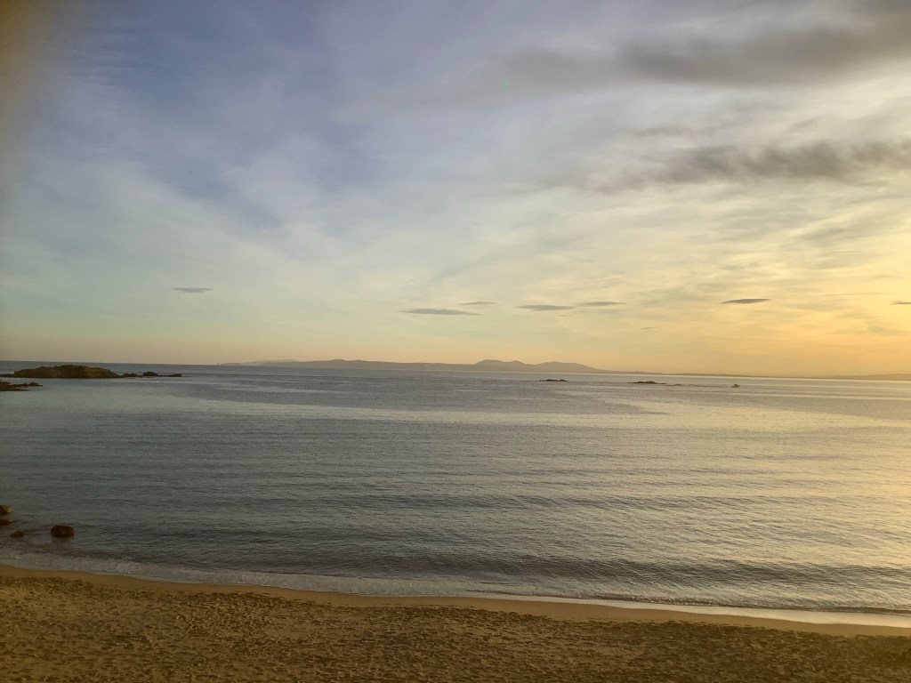
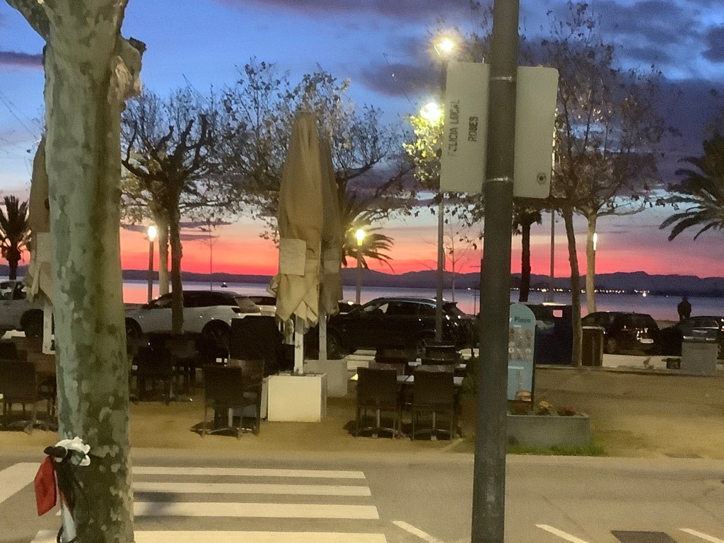
A decent hotel and some more great food for dinner, burgers with roasted green peppers. With the sun setting on another perfect day.
Hope the kids at Plump It are enjoying the blog! Gary the Blade says hello!

Night night.
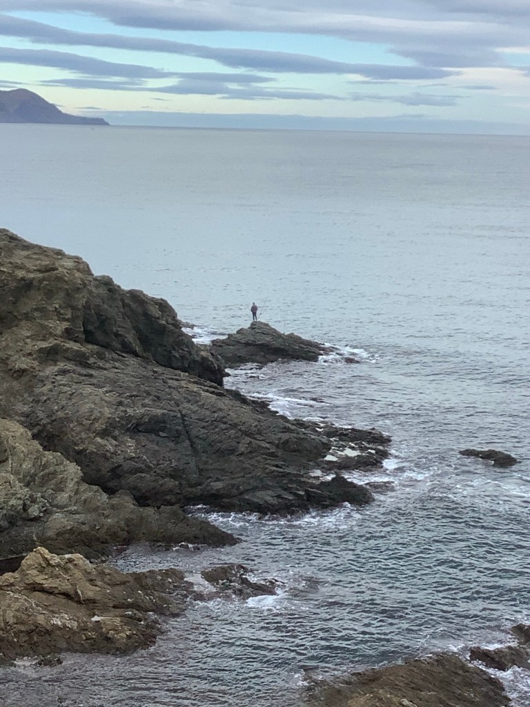
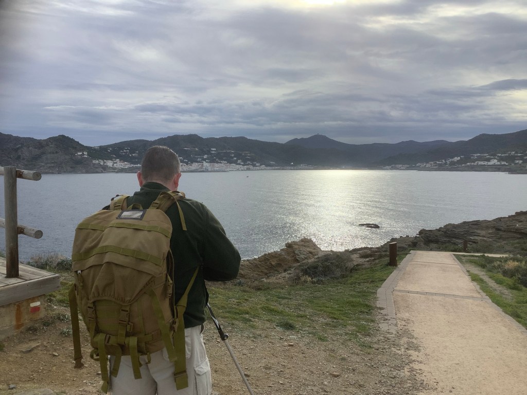
Llanca to Cadaques – Seafront Deep, Mountain High
A good night’s sleep and we got up before the hotel staff, slipped across the road to a bar and had fried eggs with coffee and fresh orange juice. After paying the hotel we were on our way back to the north coast of the Cap de Creus, and turning eastward we meandered into bays and out to headlands.

There were snorkel divers working the sea bottom and anglers taking their chances in the crisp morning sun.
It’s great up north here. Really nice but a bit warm in the sun. Before too long we were sweating like sweaty boys in a sauna. It’s the rucksacks that make the difference.
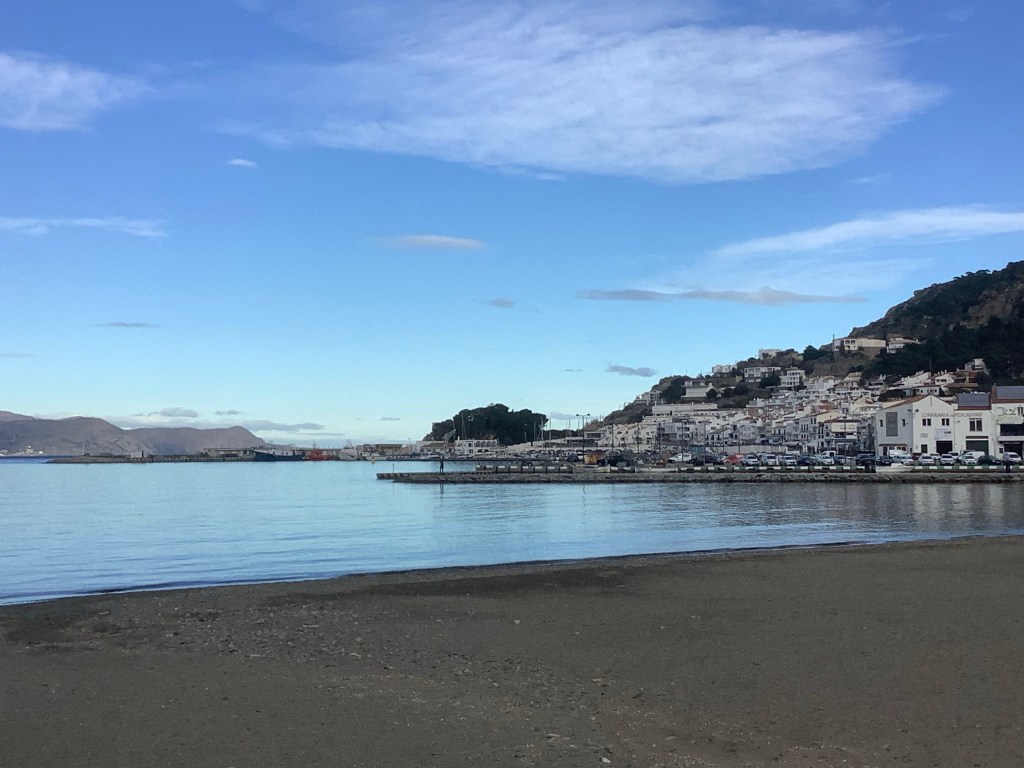
We walked over to Puerto de Selva, with some great views on the way.

On reaching Puerto de Selva the view back towards France was wonderful.
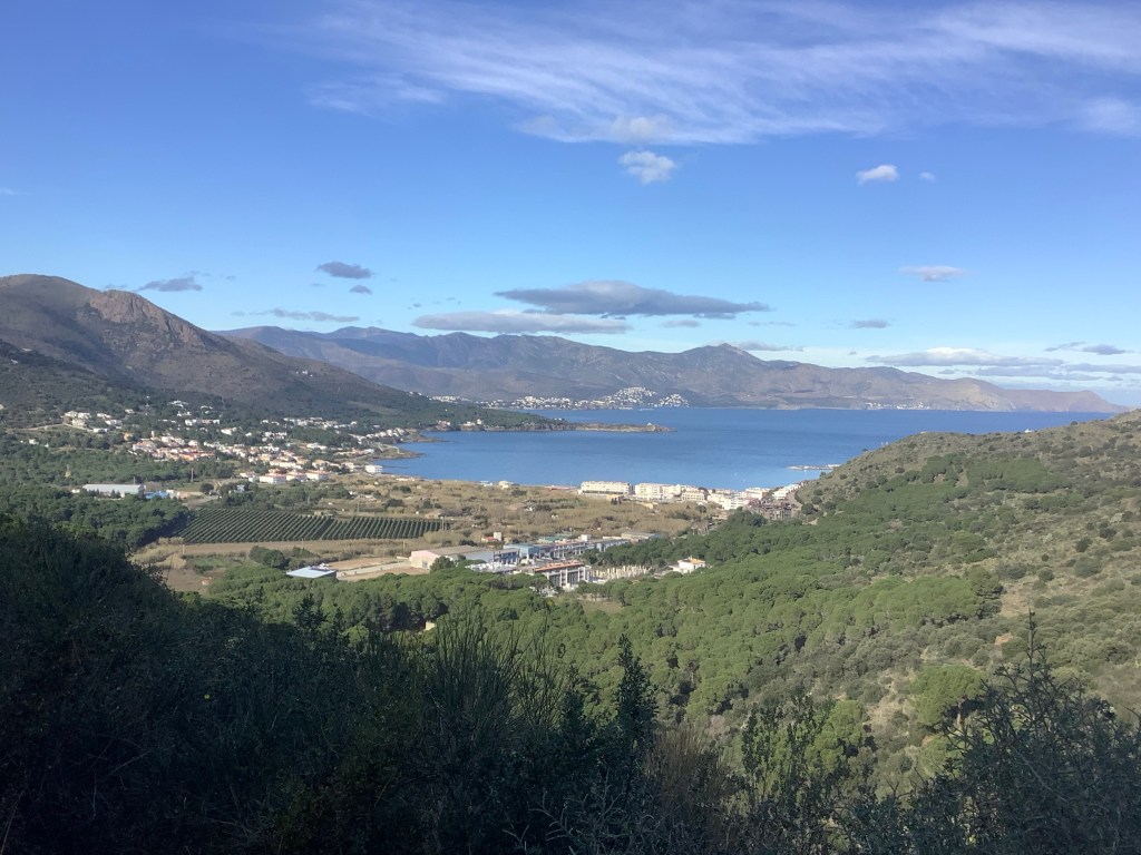
But we were less than halfway to Cadaques and the mountains were yet to come. And impressive they were. Again looking back from part way up the first hillside was impressive.
The sad part was that we met some Wednesday fans on the way.
Life is a gas. Do you know what I mean? Me and Gary are here in the sun in the mountains of north Spain with nobody else around and no noise. Silence, beautiful silence, peace and beauty. And the building in the distance on the side of the hill is the monastery of Sant Pere de Rodes.

It was a long, long climb to the top, through herds of scary cattle and difficult terrain. We’re up to it!
This was the second time that farmers have set electric fences across the way and we have had to shimmy under. Nasty deckers!

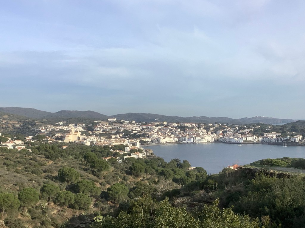
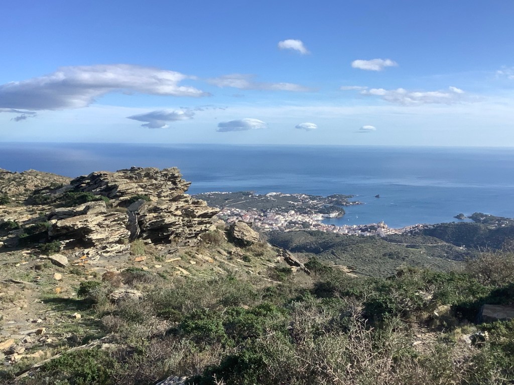
Then, over the last brow, came a spectacular view of Cadaques. Oh wow!
It was a long and difficult path down, strewn with boulders that threatened to twist our ankles at any stage. But we, heroically, survived the two hour descent! Checking in at the flat we were staying at and drinking beers on the front with the hippies was good fun. And Robin Weaver is alive and well and still smoking strange substances.
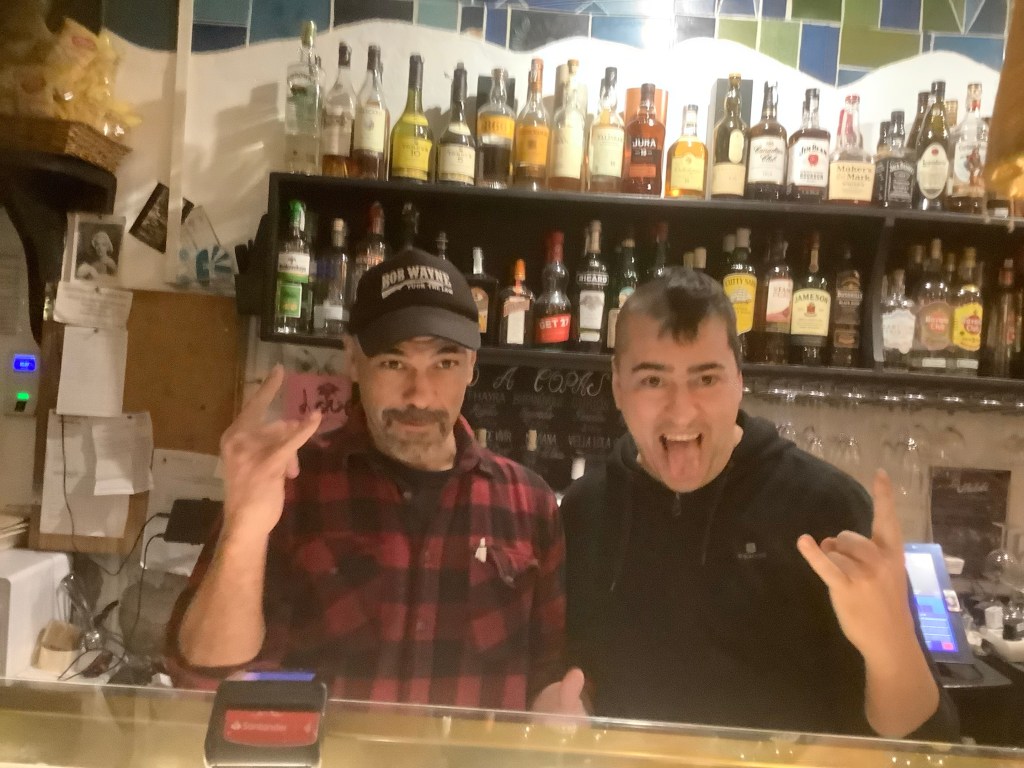
We ended up at a punk rock tapas bar, with the most amazingly cheap food. The punk music was great and the hosts were fantastico. And they liked us too.
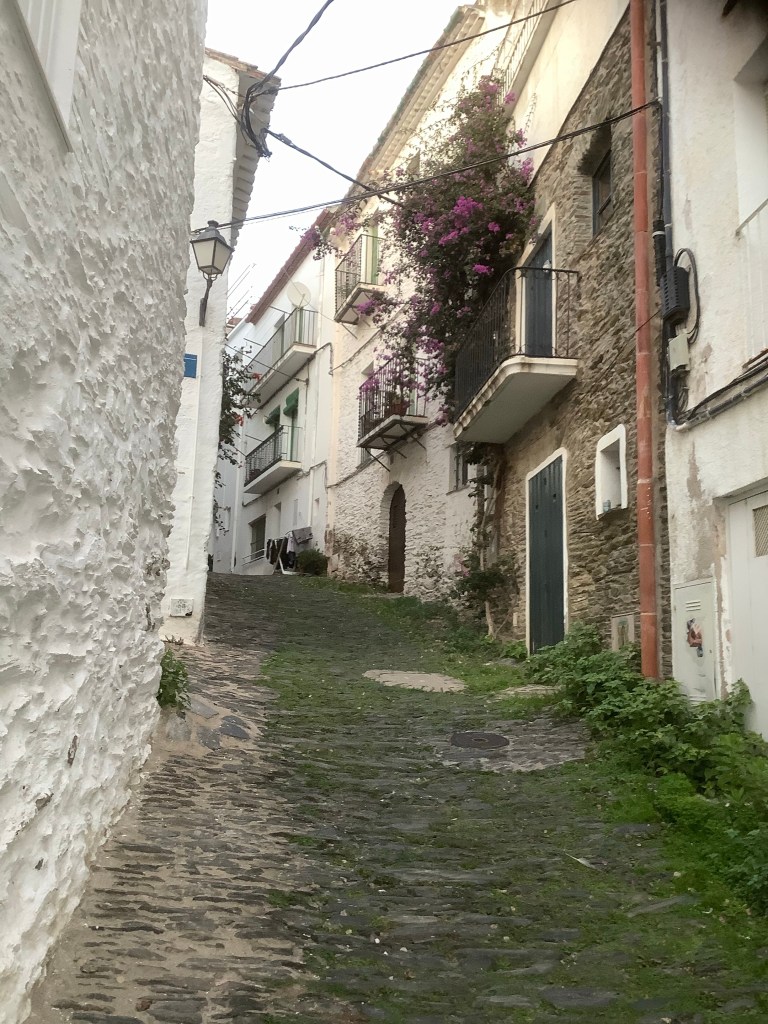
Our apartment was in a quiet part of the town, up this path, and it was just right for us.
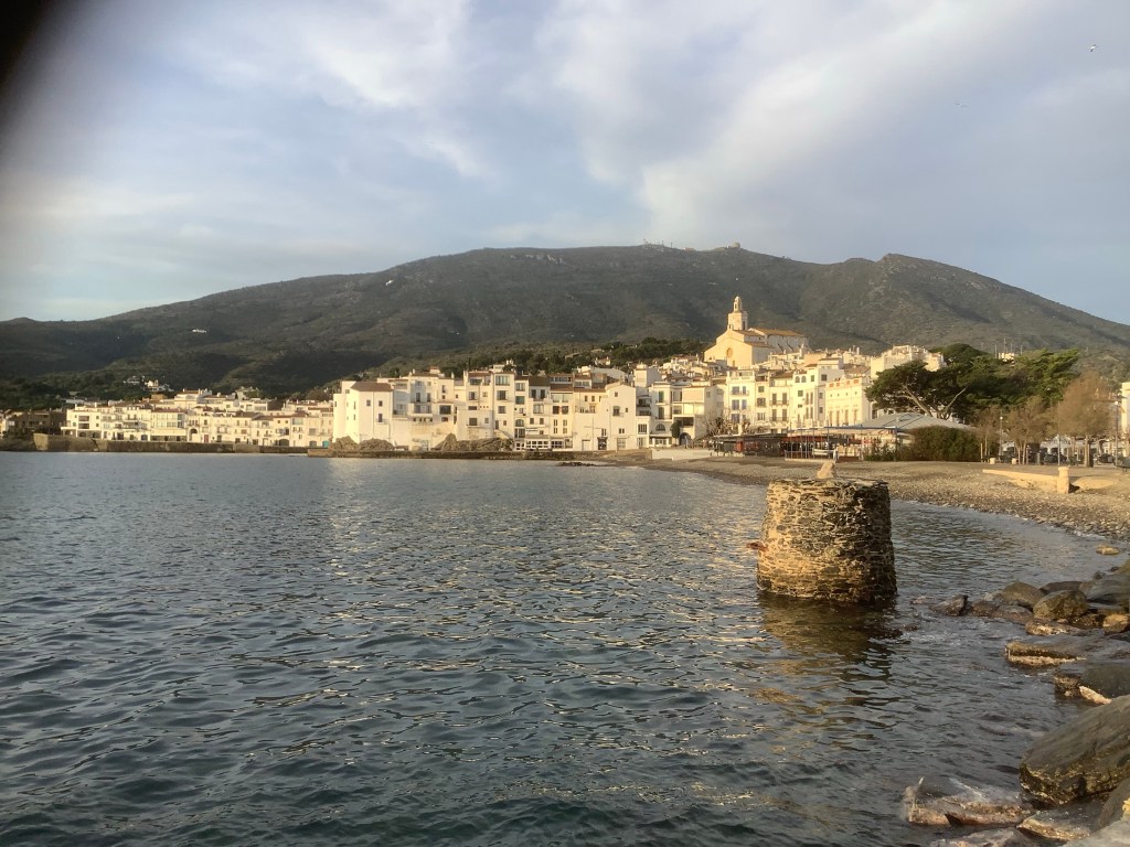
And it wouldn’t be Cadaques without Salvador Dali. Hail fellow, well met!
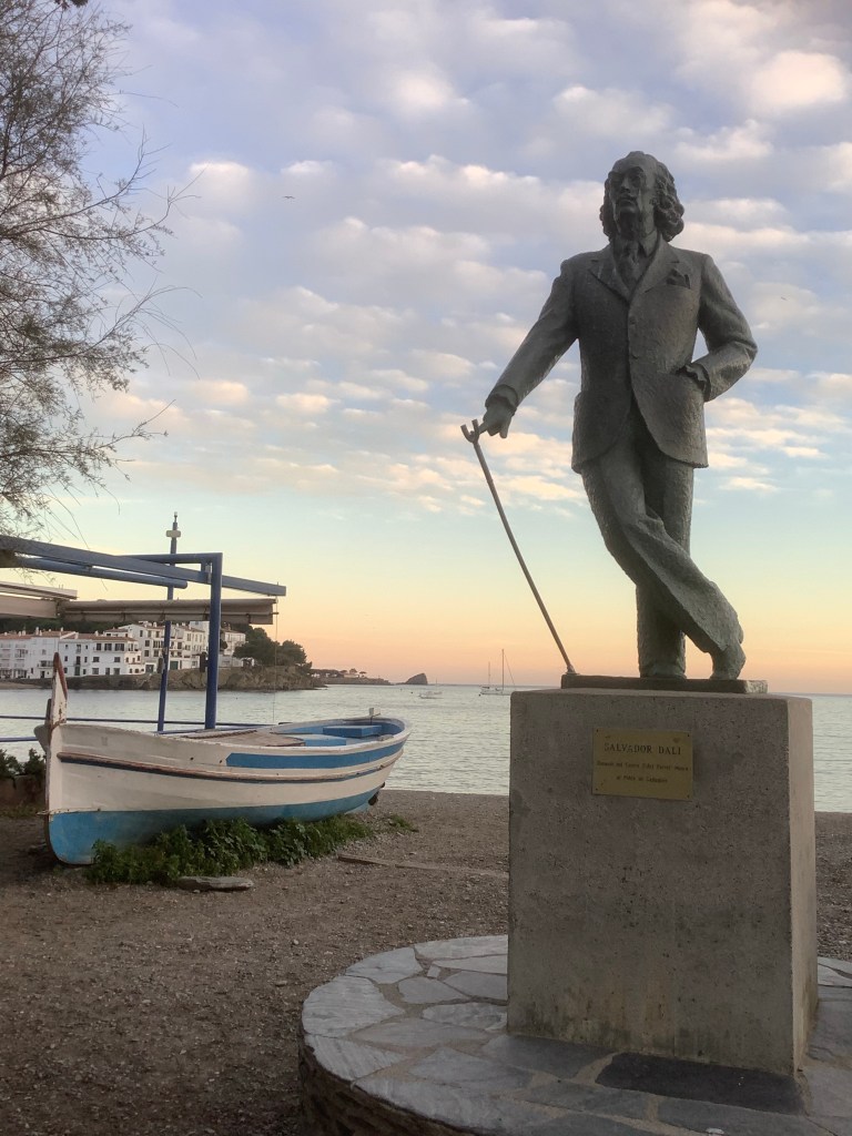
My conclusion, my dear friends, is that Cadaques is a lovely place.
Night night.
Cerbere to Llanca – Sunny Days are Here Again!
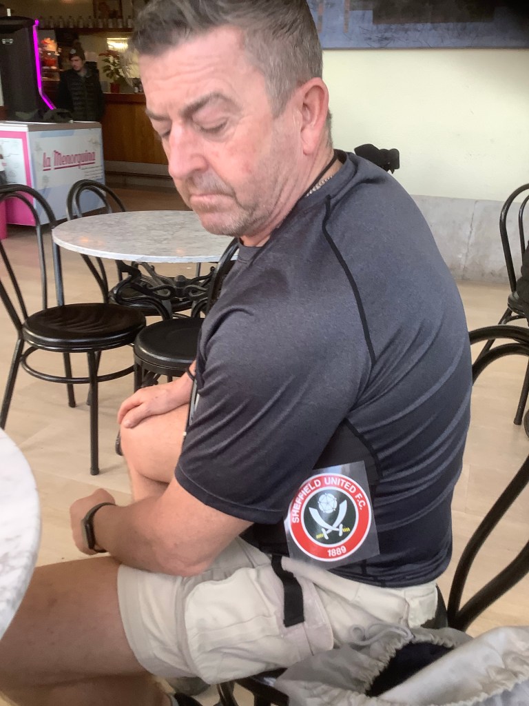
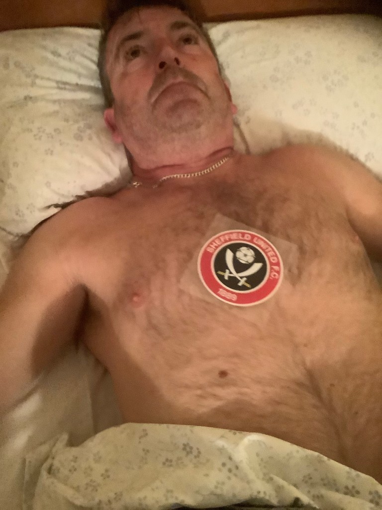
It’s a laugh to wake your mate up in the middle of the night and put a Blades sticker on his chest and then he goes into a catatonic state because he’s a Leeds fan. And when he does he looks like this! I don’t think he was happy.
The sky was blue and we set off shortly after a decent breakfast in the hotel. We were climbing up over the last little arm of the eastern Pyrenees, which stretches its forefinger into the Mediterranean Sea. Goodbye hotel.
And hello to a path from Spain to France that saw 100,000 defeated Republicans escaping Franco’s evil revenge. Seeking new lives in France and the UK, like Michael Portillo’s dad. Lucky they didn’t try to escape certain death nowadays. Suella Braverman KC would have sent the lot to Rwanda.
But we were travelling in the opposite direction, from France to Spain, the route that escapees from Nazi Germany took a year later in 1940. Terrible times with desperate folk treading the same route as me and Gary.
Up and over, past the redundant border post.
It was getting warm and we both were sweating buckets under the weight of our rucksacks. But dropping down to Portbou eased things.
This was the main through route for supplies to the Republican army, and Franco had it bombed to smithereens. By the Germans, Italians and his own evil animals. But amor vincit omnia and today people can rest in this land in peace.
We’re walking down as far as we can in the next 9 days towards Barcelona. It’s part of my John O’Groats to Africa trek, which I may never finish, but which keeps me off the streets. Well….on some streets sometimes. And Gary is here because he loves walking in Spain too.
It’s a shortish day today – 17 kms – but it has its ups and downs so it is a good starter. We’re not terribly fit so this is fine. Our route follows the GR92, which is a footpath covering the full length of the Costa Brava; and it’s great.
For January the weather is ridiculous. Sunny, warm and not too much wind. We are loving it.
We arrived in Llanca at two thirty. And it was shut. However with the help of some builders we were able to find refreshments and after a couple of phone calls we got decent digs. With a tapas bar around the corner. Heavenly. And an early night – asleep by 8.30!
The real walk starts tomorrow.
Night night.
