Kirkby Stephen to Gunnerside – a Yomp!
My sis put up her tent, heated it up, cooked dinner, washed up and cooked breakfast. I ate in it, slept in it and ate in it. Then I left my rucksack in it for a long unencumbered day yomping. It was dry when I set off but there was intermittent rain throughout the day. Perhaps the driest place was here.

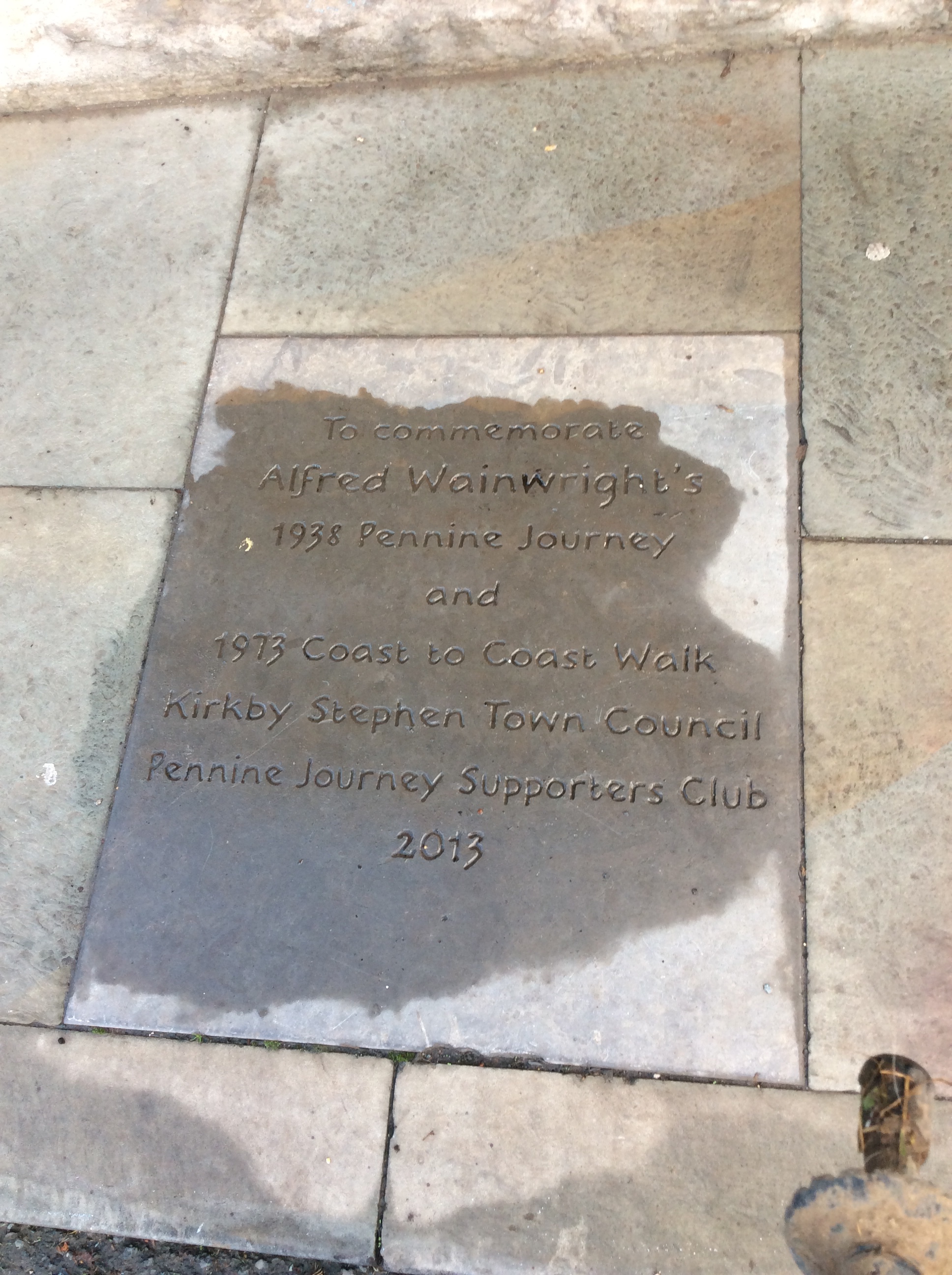
Wainwright was here.
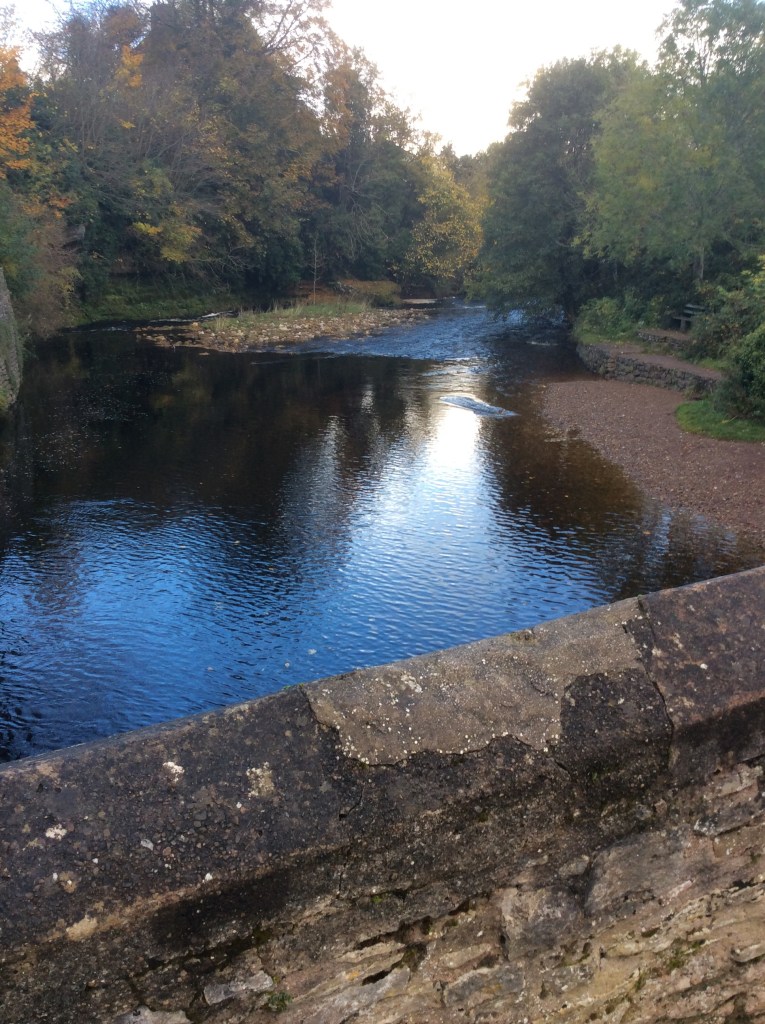
Turning right (southwards towards Yorkshire) the river running past town was great.
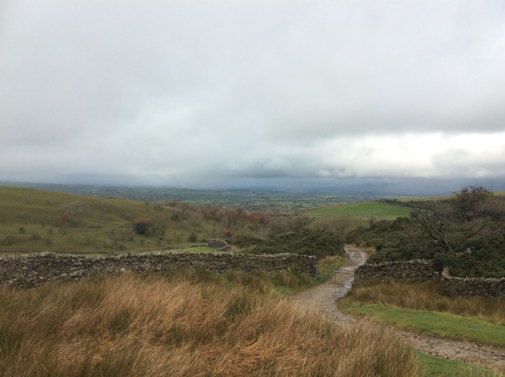
The track then climbs steeply up, to over two thousand feet, with thickening cloud. Halfway up was an old wooden seat, like something out of Lord of the Rings. With clouded, but still impressive views.
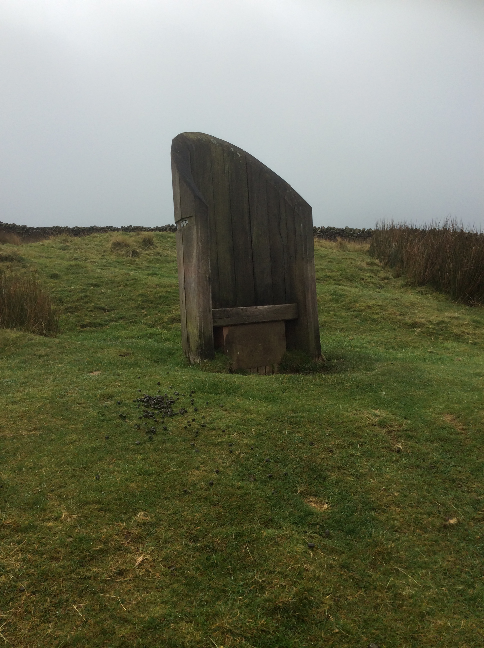
Higher up there was a stone throne. This definitely looks like where Frodo sat on the seat of seeing on Amon Hen, gazing towards Mordor.

But the seat of seeing wasn’t seeing much.
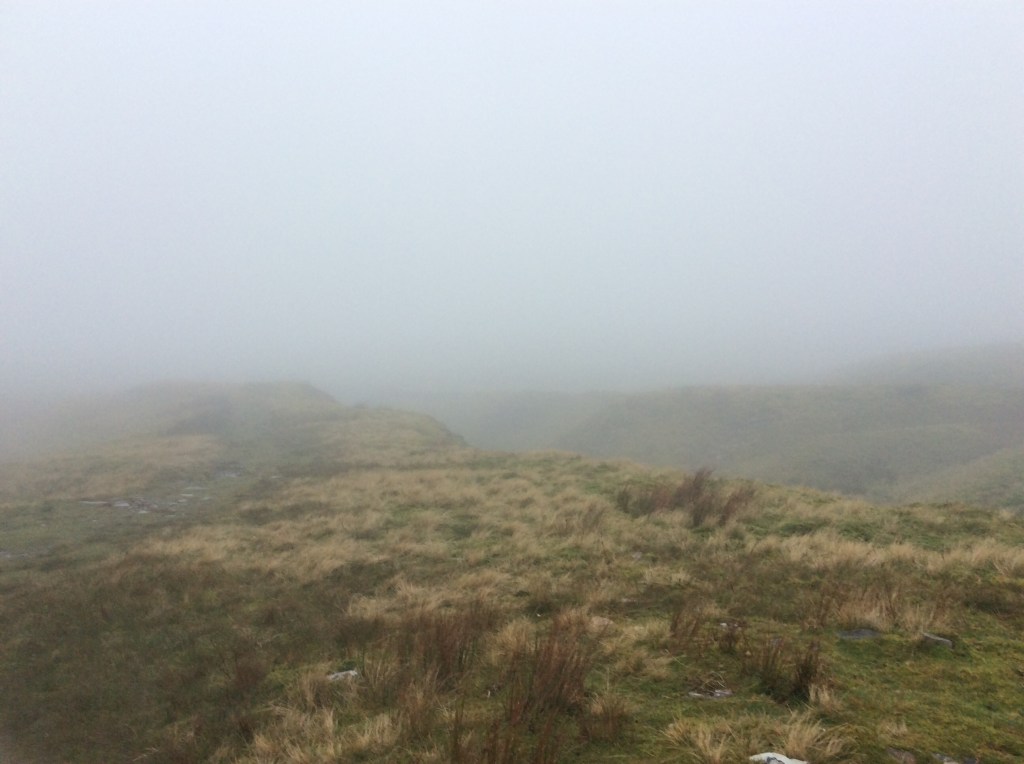
It was all beginning to feel a little weird when these huge cairns appeared out of the clouds.
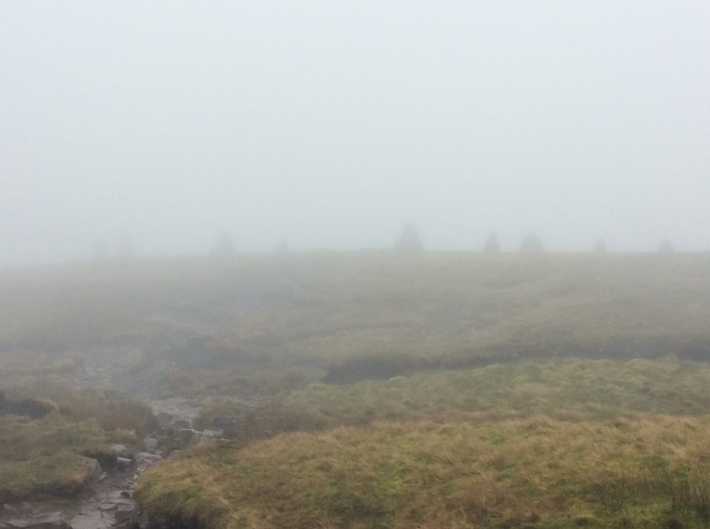
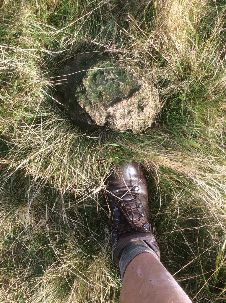
And this was the highest seat of seeing of the three. But it’s brock.
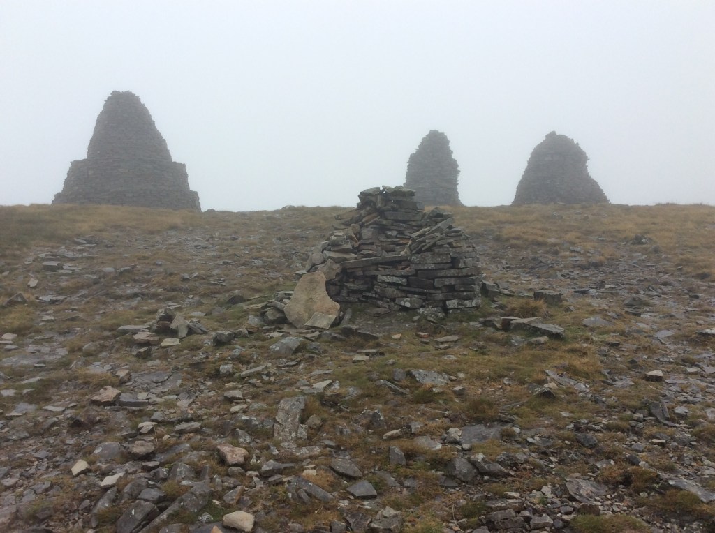
The ground got decidedly boggy from here, often taking five minutes to cross a small stream, digging walking poles into deep mud and retracing steps to find drier ground. Luckily someone had knocked wooden stakes deep into the ground every 50 yards to mark the way, as any path had been erased by the bogs. Finally, after a couple of hours and a slip in the mud, I made it down towards the valley floor, as the sky cleared.

It was still intermittent deep bogland, but not as deep, and a path was mostly visible.
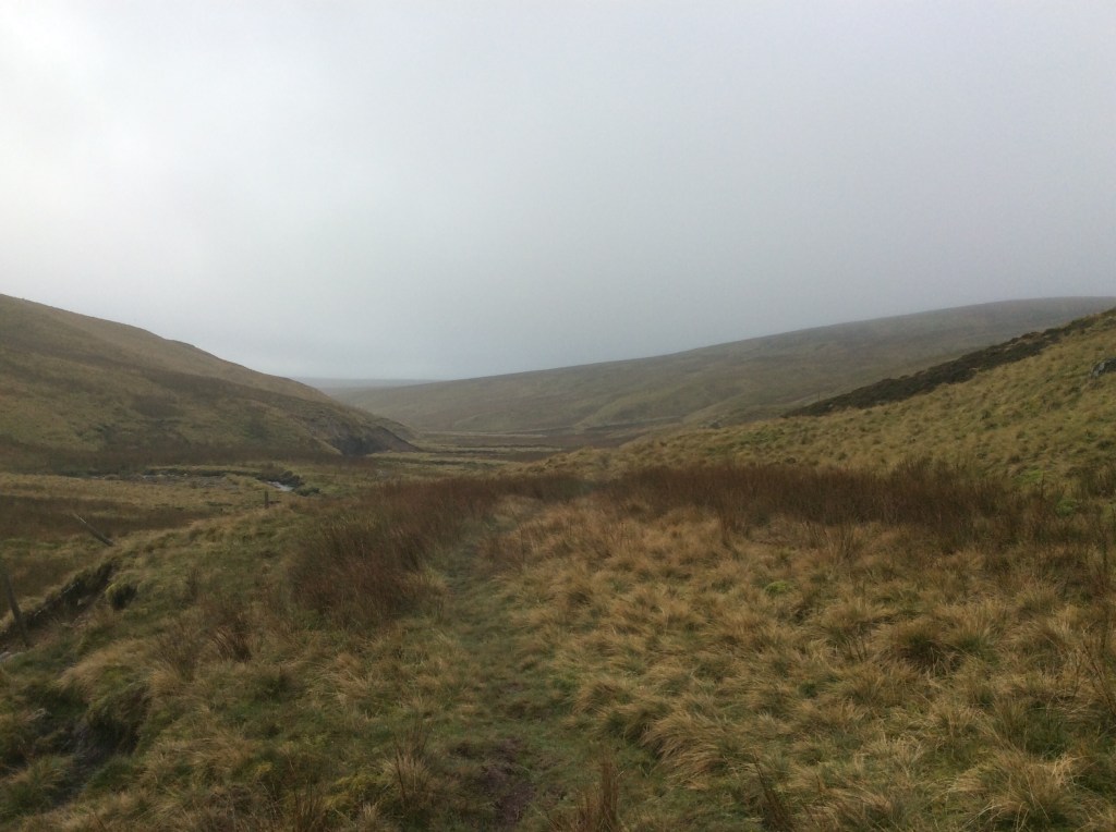
A few miles short of Keld was a farmhouse with a tarmac track leading up to it. Looking at my map, if I followed the track round and down to Keld, instead of following the footpath through bogland, it would only add on another mile. Done!
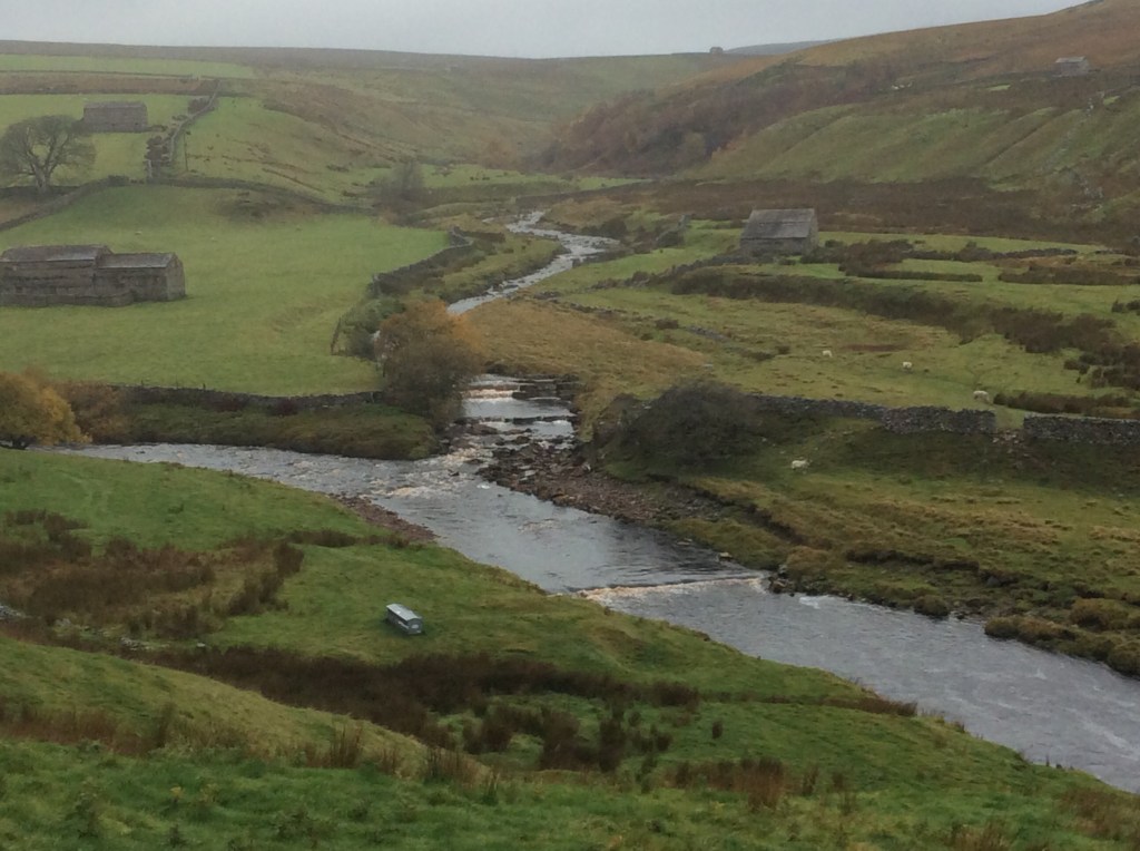
I made great time on the solid surface and was soon around the road to the bottom of Whitsun Dale where the Beck I had followed flowed into the Swale.
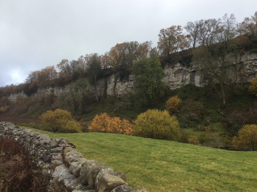
And below that were some decent limestone cliffs.
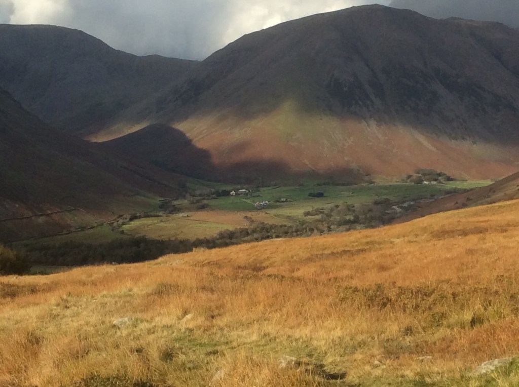
Passing through Keld the valley gets very steep and, with the aid of a knotted rope that someone has installed, I scrambled down for this view. Awesome!
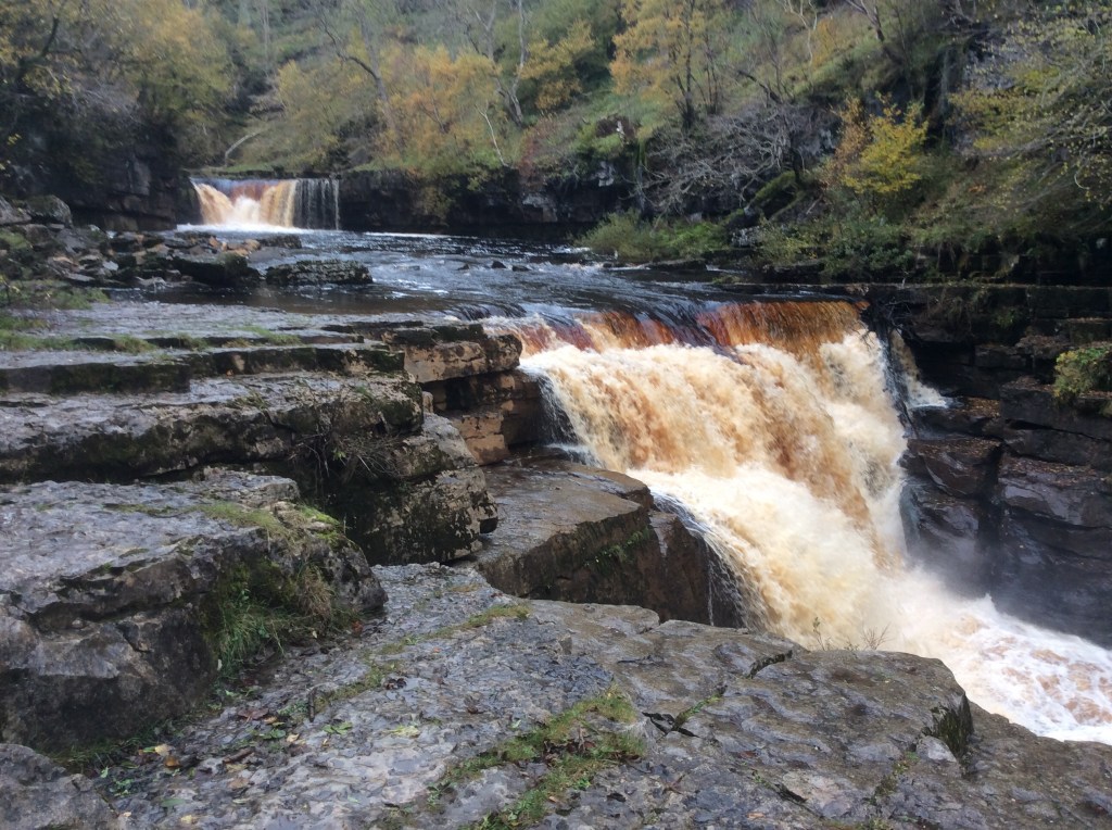
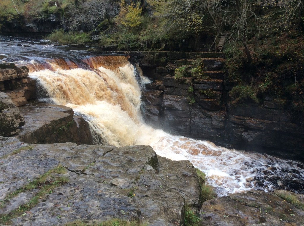
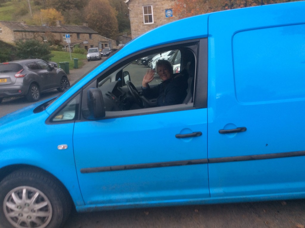
Now it was a five mile slog at the tired end of the day, down the valley to Gunnerside. And waiting there was my dear sis to take me back to the tent, via an Indian restaurant to pick up a joyous takeaway.
Great day.
Night night.
Orton to Kirkby Stephen – Walking in the Rain
Thank you the Ronettes.
What a pleasant place to stay, The George in Orton. Nice couple, good food and great rooms. For next to nowt. And breakfast followed in the tradition of excellence. Unfortunately when I set off my map reading was less than excellent. I went out of the village on the wrong road, mostly because I have these narrow, linear maps of the route. It cost me over a mile. And it was raining, which pissisted most of the day.
But what a gem of a shelter I came across.
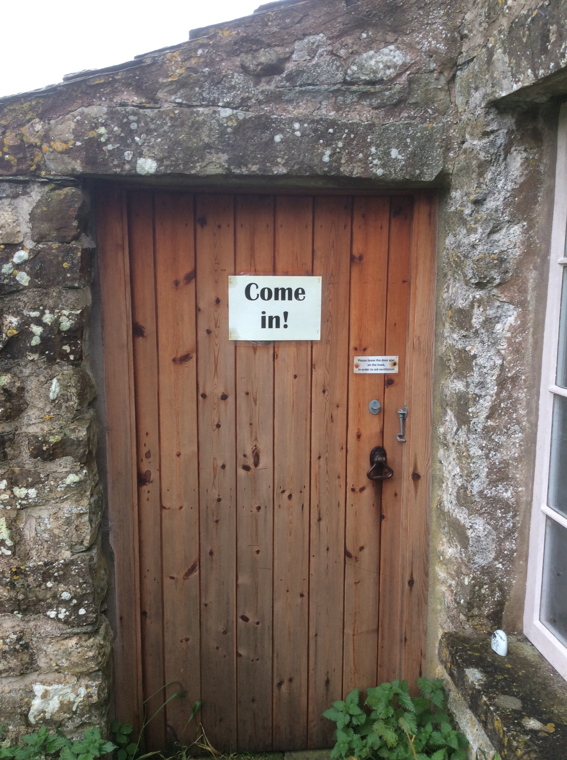
It turned out to be a tiny school from the late 1700’s, set up by a local benefactor. I took shelter from the rain.

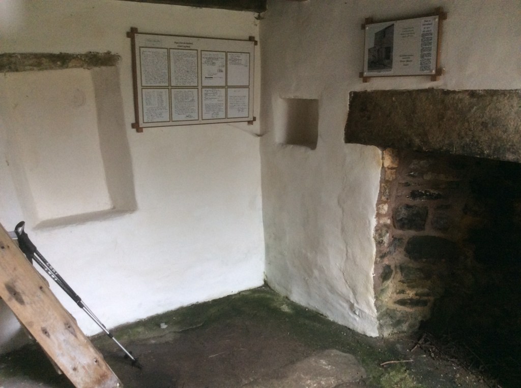
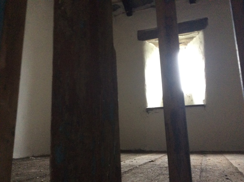
I felt very warm and at home in that small space, which had taught the children of the locality for over 120 years. I spoke to any spirits of children or staff that may be remaining there, but had a positive feeling that all had happily moved on. So I did too. Into darkness at the break of noon. Thanks again Bob.

It rained almost continuously but I was prepared, and it wasn’t cold. Now I had the route back I made good time on tiny country roads, from which I had to tip off to head south on paths again. Seeing no other walkers now for two days. Nobody.
Because of my navigation error today would be 13 miles again. Oh well. I was meeting up with my sister, who would have a tent put up at Kirkby Stephen , waiting for me. How good is that?
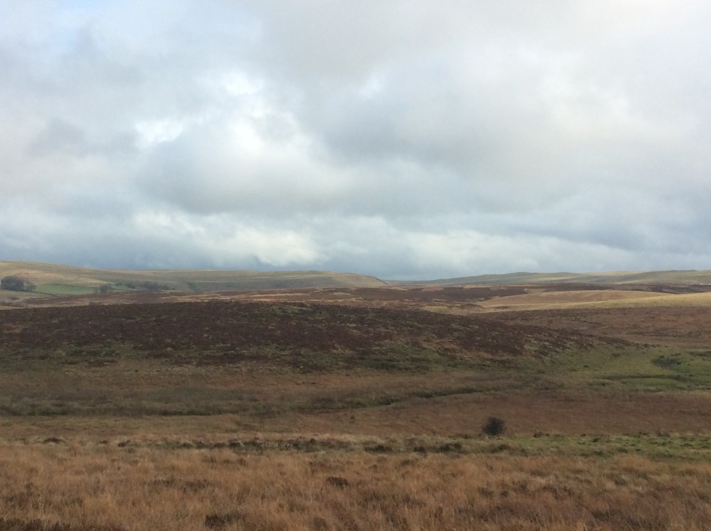
This was a ‘rolling Cumbrian hills’ route, with no massive energy sapping climbs. And the rain occasionally shared it’s space with sunshine.

The route dropped down into a valley that I think was Smardale, with a dismantled railway running through a limestone valley cum gorge. Great views.
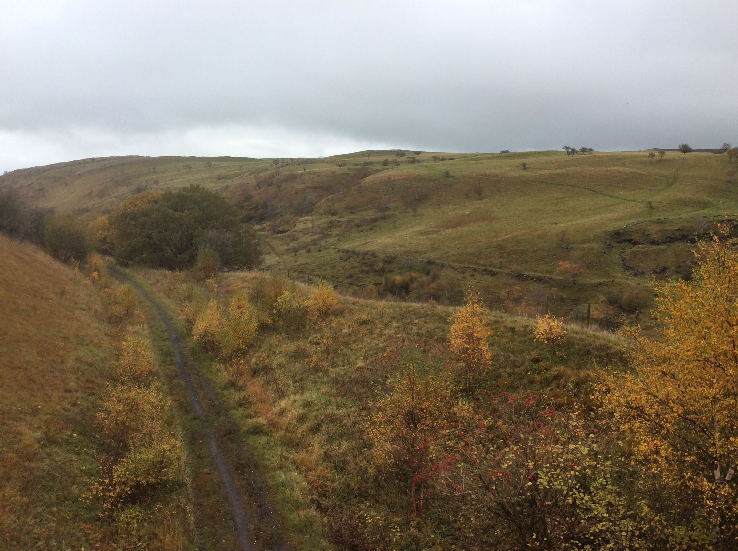
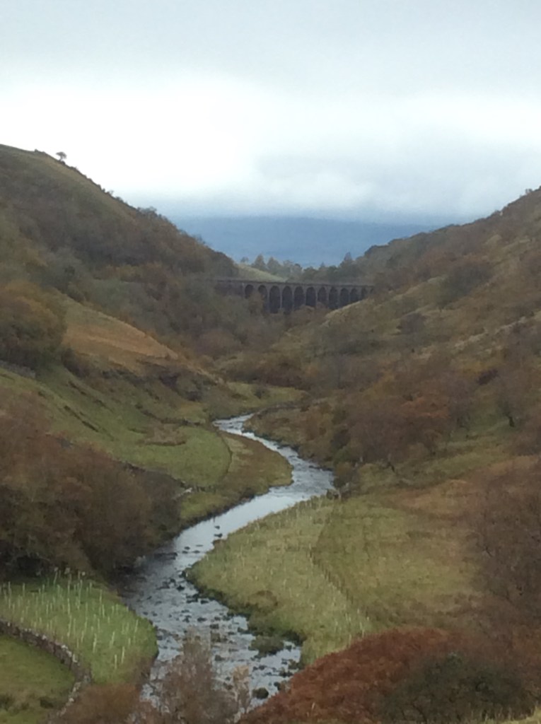
And then a long climb to arrive above Kirkby Stephen.

My sis would be waiting there with black olives for aperitif. She’s so sophisticated.
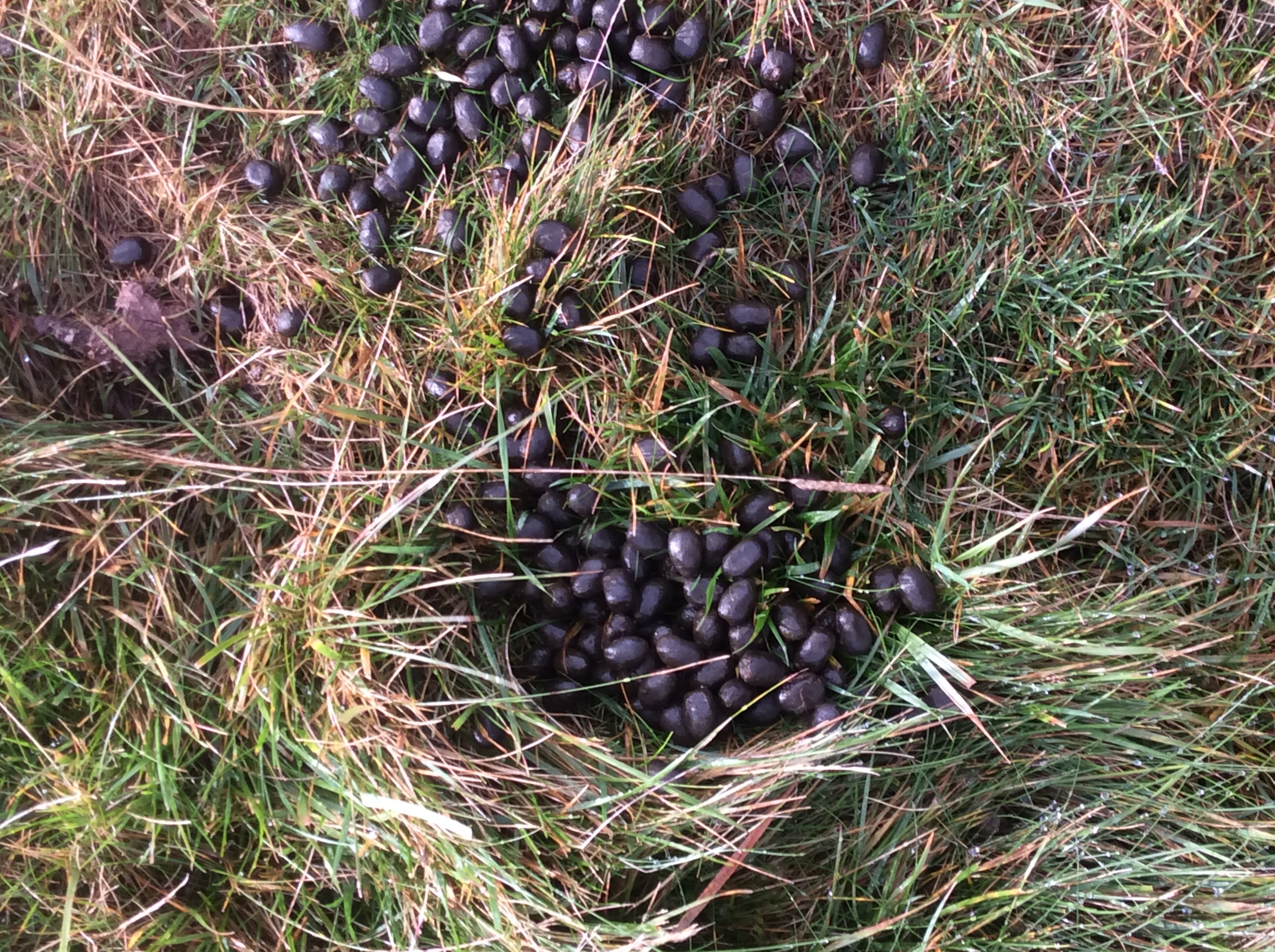
She’s cooking spaghetti bol for main and she just loves those black, seedless grapes of the Tesco Finest range, the Sable variety, to pluck at as a pleasant dessert.
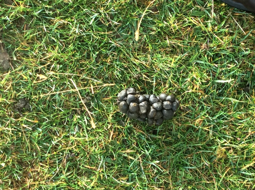
She let me taste them first. How lucky am I to have such a sister?
I bought some superglue at a shop in the village. My boots might last the distance!
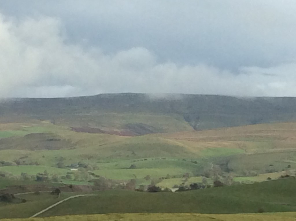
And up above the campsite is the Tan Hill Inn, somewhere up there, that me and my mate Chip struggled to get up to one soggy July day five years ago. Fair play to my friend, despite his difficulties, he made it. I love him.
Night night.
Haweswater to Orton – Hey Joe
Thanks Jimi.
I slept poorly in a comfy bed, but switched on radio 2 in the middle of the night, and my breathing, heartbeat and general internal comfort settled down. Enough to sleep in three sections, divided by a piss, in the right pot, for 6 hours in total. Breakfast was delightful, just bacon and eggs but cooked really well.
Then I was on my way, expecting rain. Thanks Bob. And as I stepped out of the hotel the rain stopped, and didn’t start again until I got to my destination. Which was the George Inn at Orton. Bed and breakfast £35. Kismet Hardy.
Bye bye Lakes. Again.

I followed a footpath up the valley from Bampton Grange (where I’d stayed) to Rosgill, another tiny but attractive village.
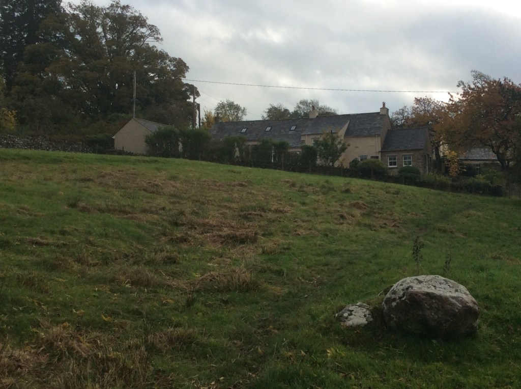
Looking across the valley again the final fells were lovely.
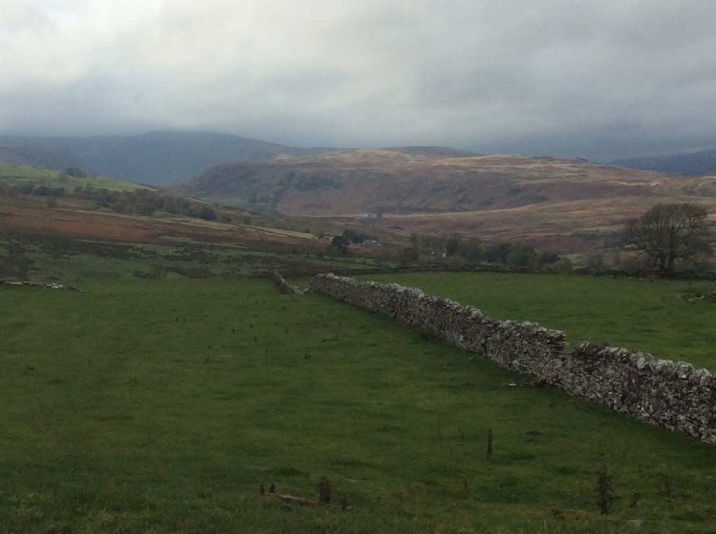
And back down the valley northwards was a substantial peak in the distance west of Penrith. But I didn’t know what it was, and maybe never will, Honey.

Walking over the hill to the east, towards Shap, I came across the Wainwright Coast to Coast path, which I would follow most of the way from here on.
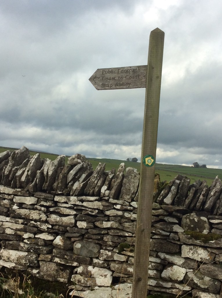
I love ancient bridges, and I love old churches. This is a good one. St Michael’s in Shap. Pity I’m not a Christian, but I’m thinking things through whilst I’m walking. If I could link the enormity of the Universe, as well as the eternal nature of time, to a bloke in Palestine 2,000 years ago, then I might believe. But it looks ridiculous to me written down.
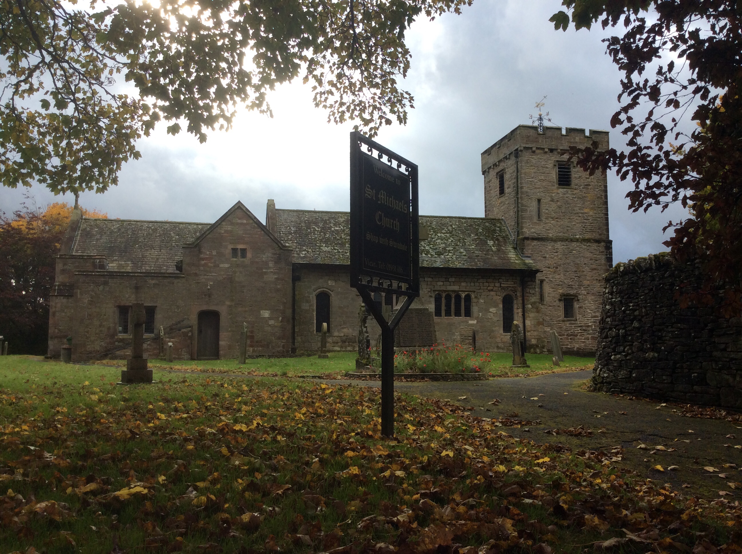
The first footpath to the east took me out to and over the M6, looking back.

Carrying on, the link with the Lakes was gone. And looking forward were the Pennines. Home territory nearly.
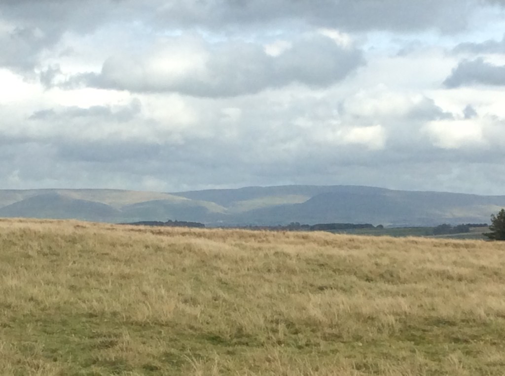
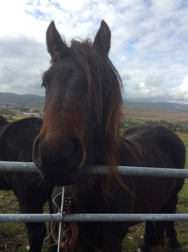
One field I walked through had two horses waiting for me at the only stile leading out. Now, I’m not brave where big animals are concerned, particularly when they came up and started nudging me. They were probably after apples or sugarcubes or summat but I felt abused. I’m outraged and offended. They behaved like animals.
Turning south the path cut through fantastic limestone pavements, and limestone landscapes are my favourite. Home territory, caves, potholes, dry valleys and rivers springing up from the ground. Lads using blazers as goalposts. Wet, leather footballs leaving scars when you head them. People laughing at you because you’re not capable of appropriate social interaction. Oh! Those were the days!

The Yorkshire Dales were emerging to the south. Is that Whernside second in from the right? Is it Pen Y Ghent third from left? Not that far from home, but I’m skirting it to the north.

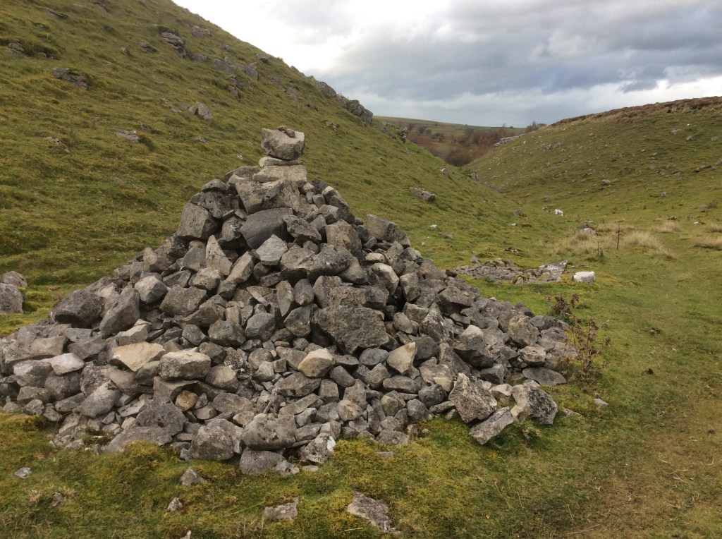
This cairn marks Robin Hood’s grave. He’s got quite a few. Must’ve been a cat.
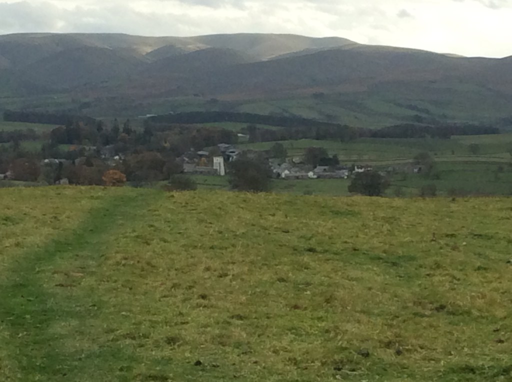
Up the valley, due south and over the top to Orton, with the sun shining in the Yorkshire hills. Just 12 miles today. A good, steady day for tired limbs.
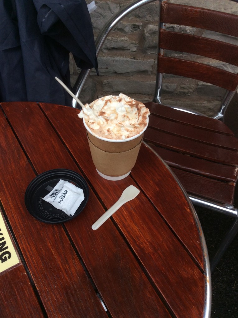
And another hot chocolate waiting for me in the village. With cream!
A night in the George Inn. Lovely.
Night night.
Patterdale to Haweswater – Play Misty for Me
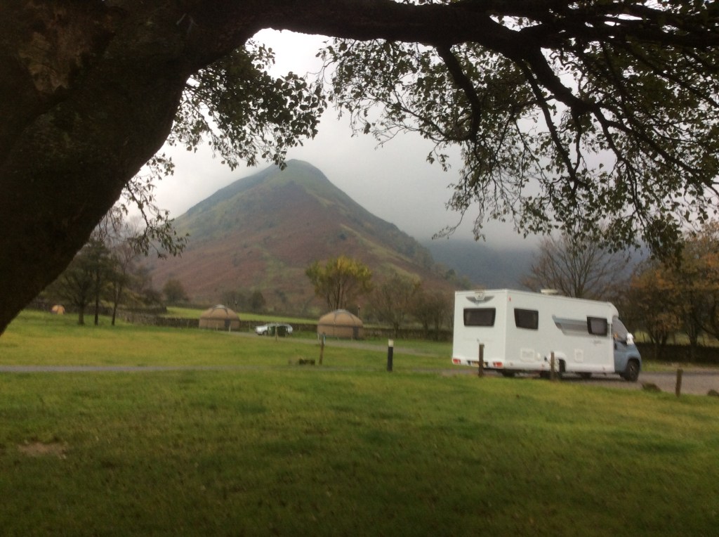
It was cold and it rained and I felt like an actor. Thanks David. Then it stopped raining at around 3am and with a strong wind the tent dried out. I was fully dressed in my sleeping bag with my hat on so I was snug, but the wind made the tent shake and the noise made it difficult to sleep for long periods. The view from the tent was good.
The rain held off whilst I packed the tent away and I got a hot chocolate and bacon bap from the campsite. Warmed and positive I set off down the road a stretch and then up, and up to Hayeswater, high in the hills, and then up on to tops. The Knott stands at 2,400 feet, and you can see for miles from the summit…Knott!
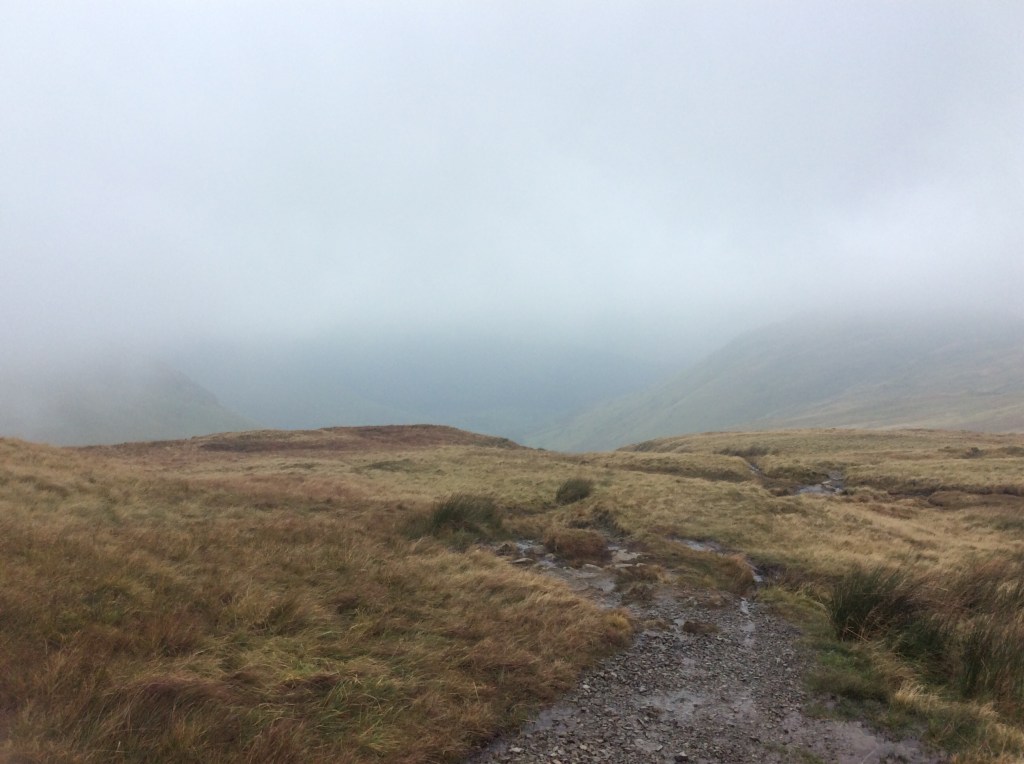
The wind was wild on the top. My path joined an old Roman road, and what the bloody hell they were doing up here Jove only knows. The wind ripped the rain cover off my rucksack and it’s at around 15,000 feet now dodging planes. Luckily it didn’t rain for the rest of the walk. The High Street (Roman road) is on the edge of seriously steep drops, and with the wind I was glad when I turned off past Kidsty Pike, at nearly 2,600 feet high, and took a long descent down to Haweswater.

The route down was difficult in areas and I went a pisser but luckily didn’t bang my head or break any bones. Just injured pride and muddy legs. It’s easy to slip when the land is like this, and wet.
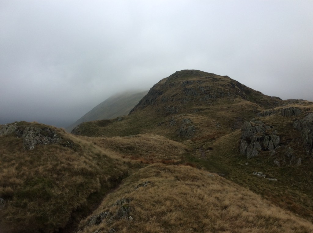
Looking back up the valley towards the peaks the view was dramatic.
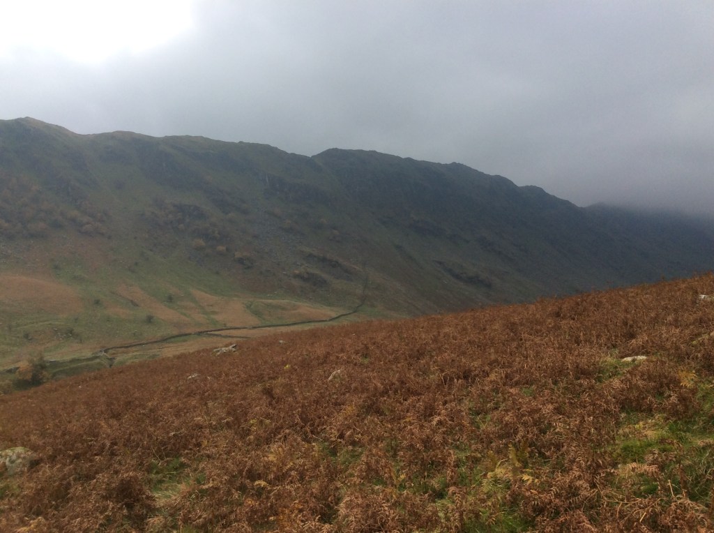
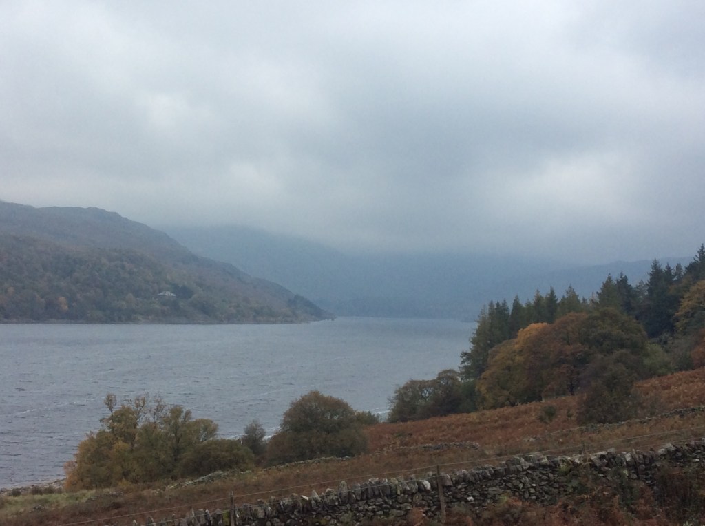
At long last down by the lake the wind dropped and I was able to make decent time on the path round the north bank. Goodbye to the Lakes.
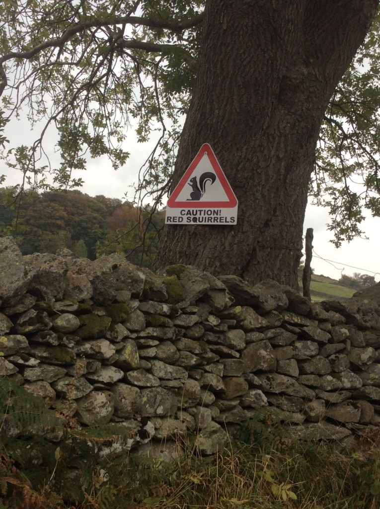
As I approached the bottom of the valley I heard a chirping in the trees. There were red squirrels warning each other of my approach. They looked great, and one held on a branch quite close until I got my iPad out for a photo and then buggered off before I could snap him. I got the sign though.
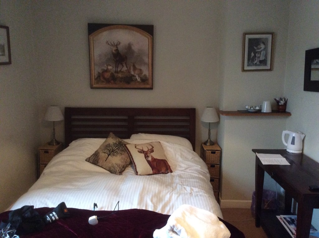
Today was 13 miles again, and worth every yard for a night with a roof over my head at the Crown and Mitre, Bampton Grange. The owners opened just for me, gave me solo access to the bar (which usually only opens at weekends) and they cooked me an evening meal. Great service. And a nice room too.
Night night.
Thirlmere to Hartsop – Bagging a Hatful!
I packed away my wet tent in the light rain after a difficult night. I drink from streams and mostly it’s ok but this time my stomach was so painful that I went to defecate in the night. More successfully than my previous experience with urination but said defecation was rather explosive. Weakened I set off late at 9.30am hundred hours.
The route would take me up from the campsite for three miles, non-stop climbing, to the summit of Hellvellyn. The third highest peak in England. It was so wet and cold I didn’t take a photo going up, although there wasn’t much to see but cloud. With the rucksack I struggled, particularly with my upset stomach. Upset? It was furious! Eventually, sometime after noon, the summit showed.
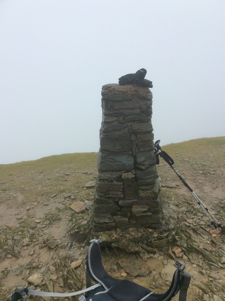
That is all five of the highest peaks in England that I’ve climbed this week. Feels great. Then to come down the other side. A walker had warned me not to take the two steepest routes as they could be deadly with a rucksack. Thankfully I found a safe, slightly longer one, as the clouds lightened slightly.
I soon dropped down a zigzag path and looked back at brooding and largely hidden Hellvellyn. I’d come along the ridge on the right of the photo before dropping down.

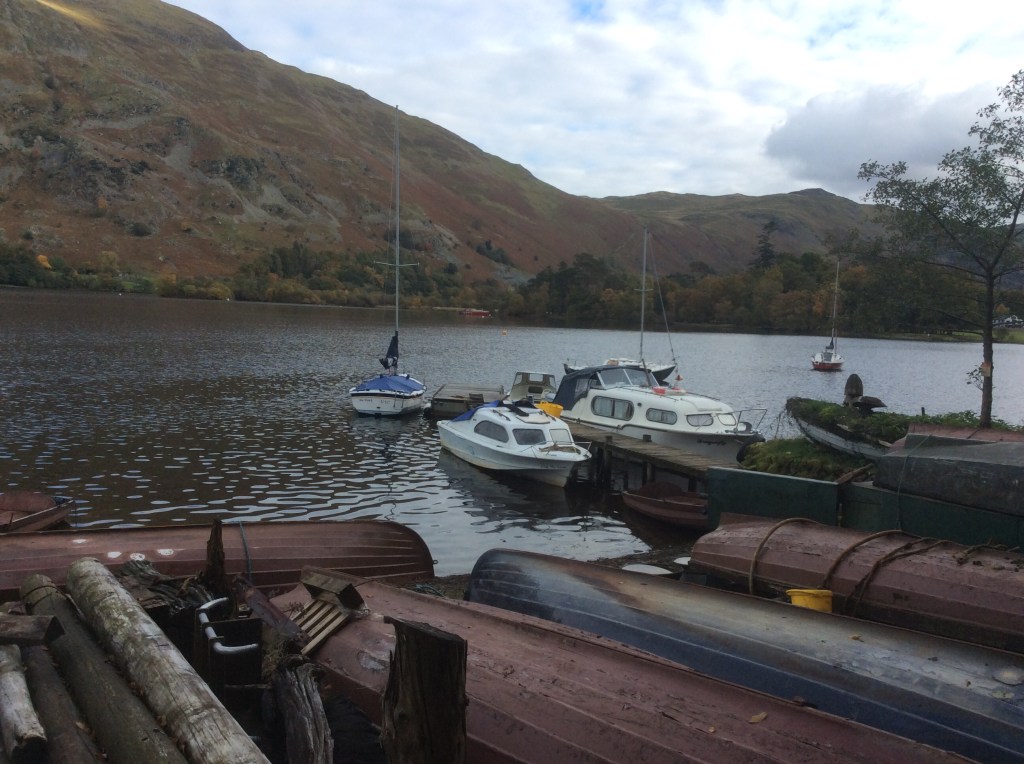
I was approaching Glenridding on Ullswater lake, nestling in the valley.
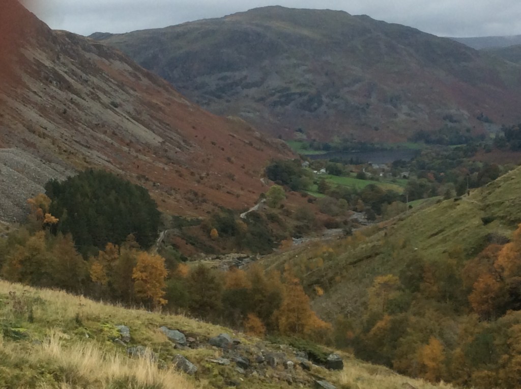
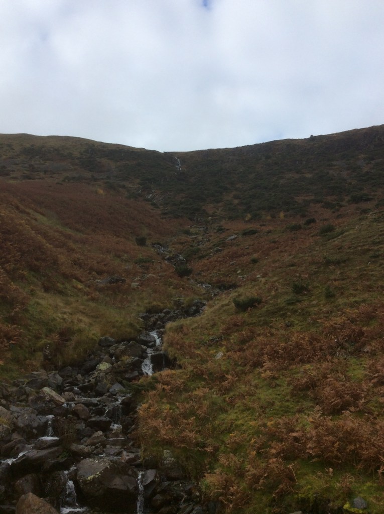
I was feeling warmer, it had stopped raining and I was happy. The waterfalls were not spectacular for this neck of the woods, but they were still a constant feature.
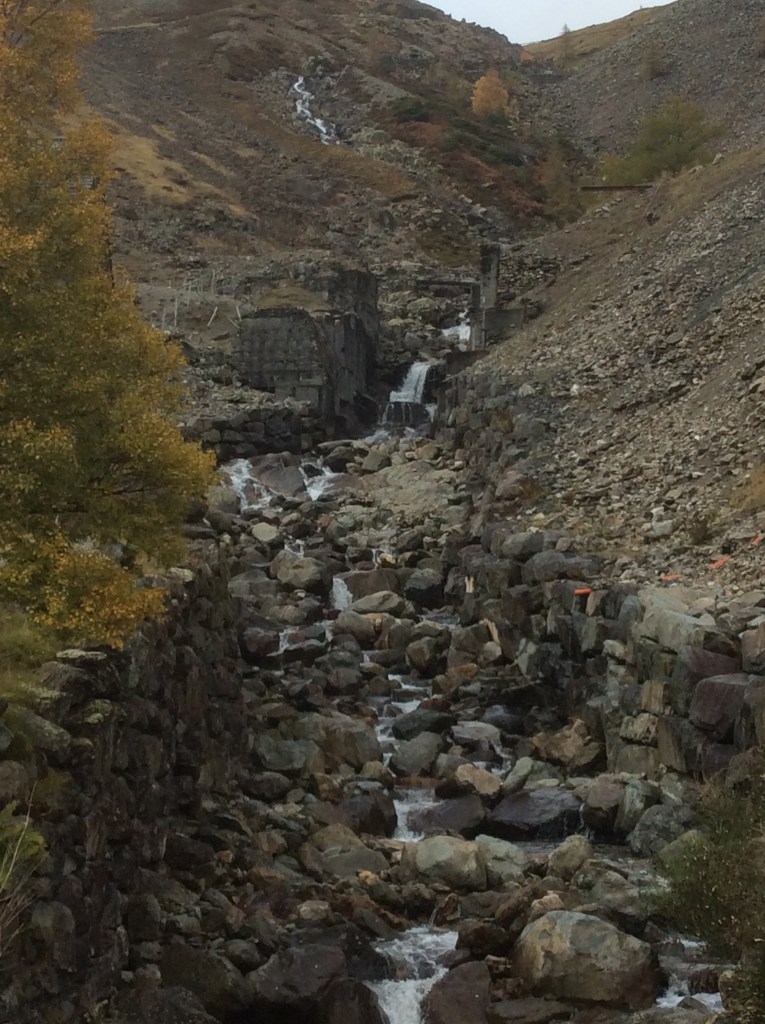
And just before reaching Glenridding there was a massive expanse of historical lead and copper mines and waste heaps.
Glenridding is nice.
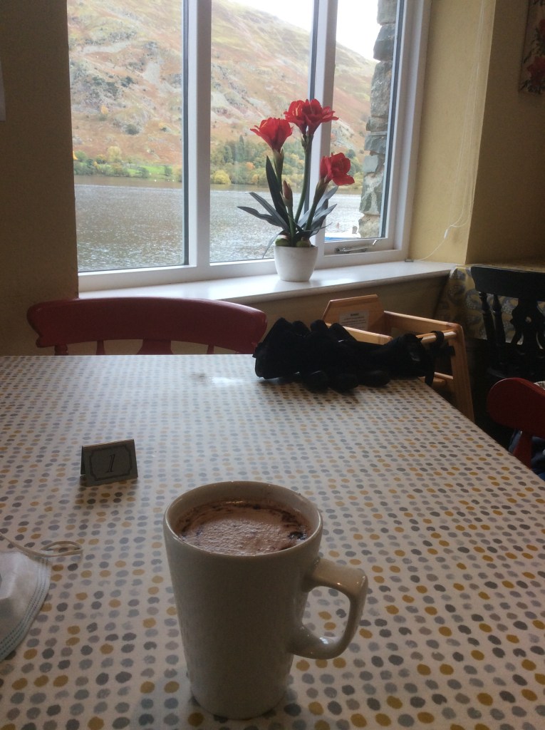
I stopped at a tea room for a defrosting hot chocolate.
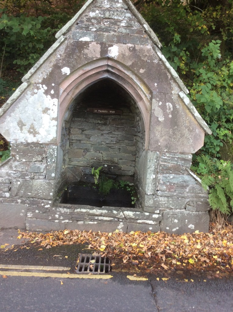
And a quick gander at St Patrick’s Well. Of course he is. He’s not daft enough to drink from streams.
A four mile march up the valley to my campsite and hopefully a good night’s sleep. A rainy week to come but I’ve got a roof over my head tomorrow and Tuesday. Joy of joys. Thirteen miles today, including 3,116 feet of Hellvellyn. Not bad old lad.
Night night.
Great Langdale to Thirlmere – via the site of indecent exposure
It was a very clear and cold night. My tent is ok and watertight, so the condensation from my breathing stays inside, but the rain stays out. In the middle of the night I unzipped the inner tent and the outer zip for a pee. The Milky Way was in my face. Stunning. I laid back down and the sleeping bag felt wet. My shirt and jumper that I wear 24/7 felt wet. So did my shorts. I hadn’t fired out far enough and the watertight nature of the tent had retained my discharged liquid. It frickin stank, so did my shorts, shirt, jumper and sleeping bag.
At least when I’m having a meal in an Inn the staff can identify me. ‘Take the fish and chips to that old bloke in the corner who stinks of piss’.
I think I’ve brought too much stuff. It’s a struggle up these steep hills. Hey ho!
Nearly 50 years ago on a geography field trip from school I ran up the hill to Stickle Tarn, way ahead of the group, stripped off, dived in and swam around. It was Easter and snow was melting into the Tarn. A party of girls came round where I was swimming so I stopped out there for 15 minutes until they all fricked off. By that time my mates had come up, photographed me swimming and coming out, holding my bits, which hurt like the devil had started to bite them off. I’m going back for the first time since then. Fully clothed.
Another dry start to the day and the route up was beautiful.
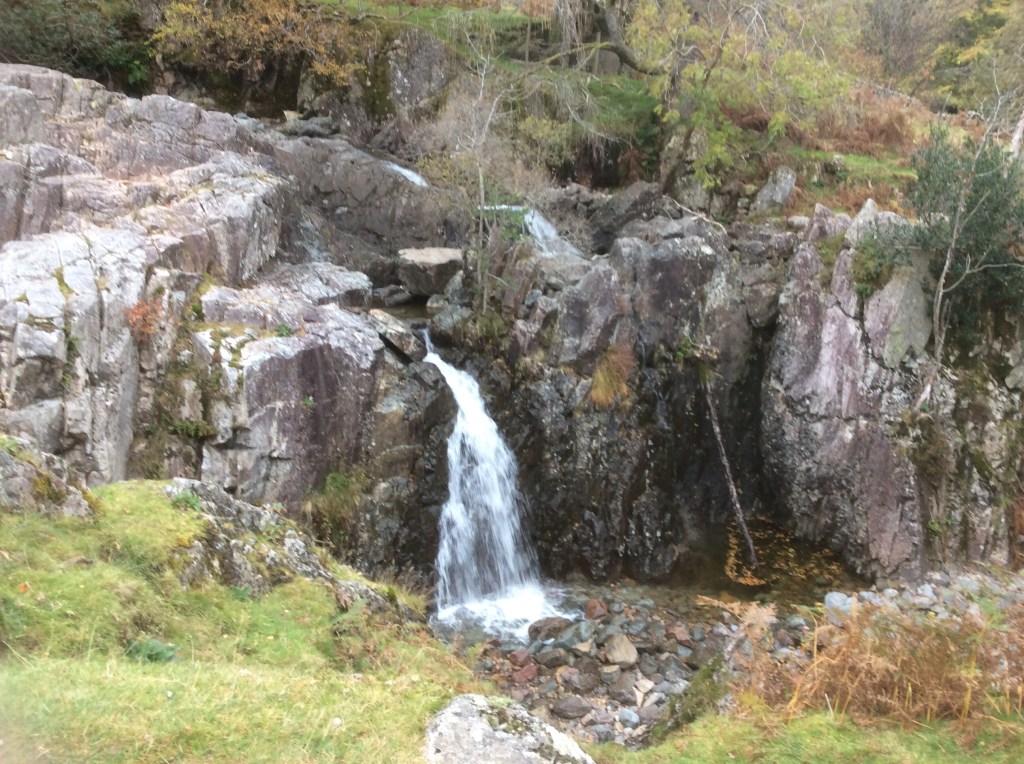
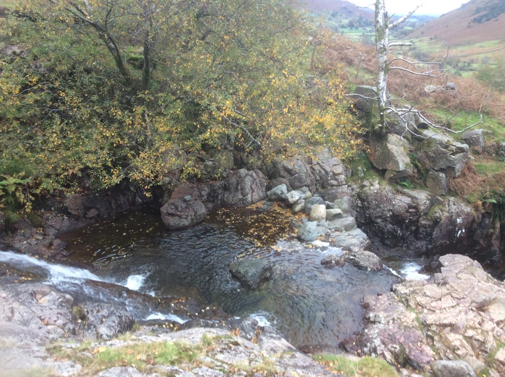
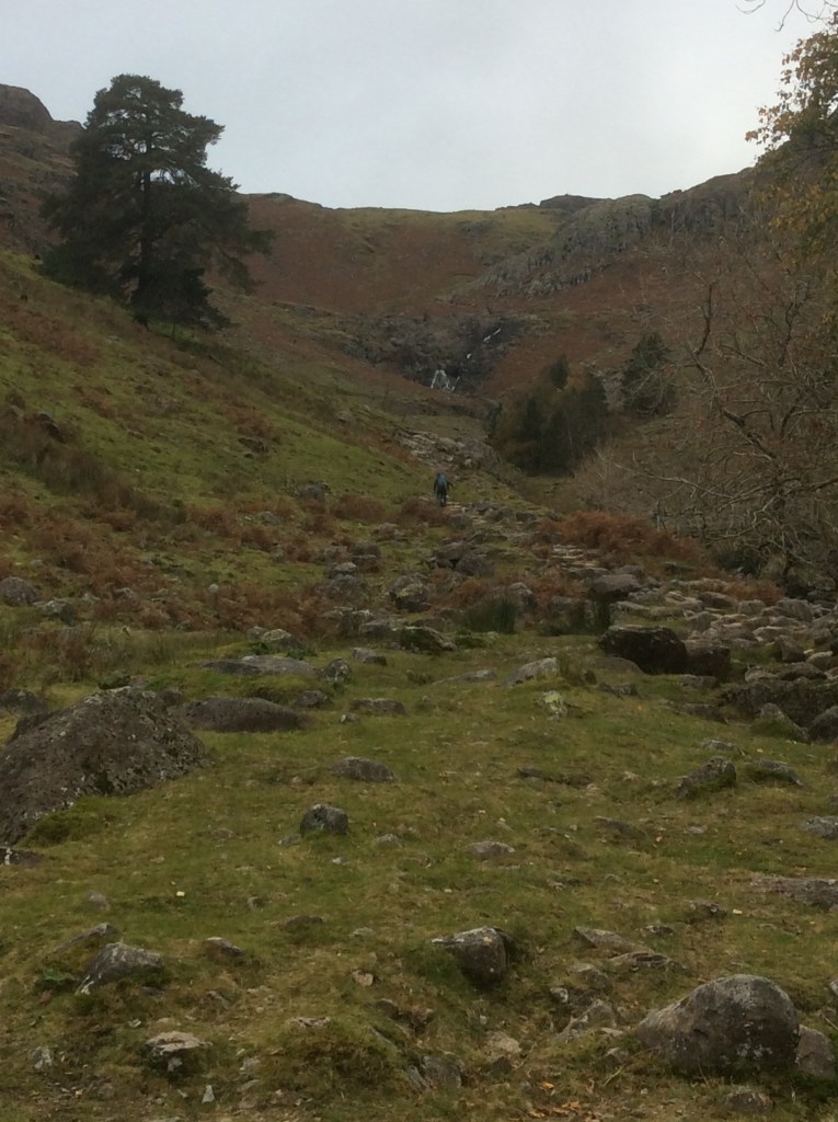
A long, hard slog with my rucksack. But eventually I got there.
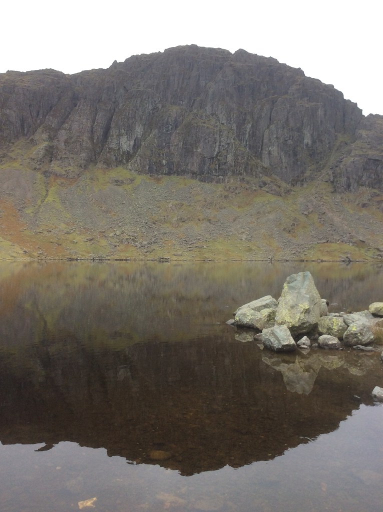
And looking out and back down the valley….
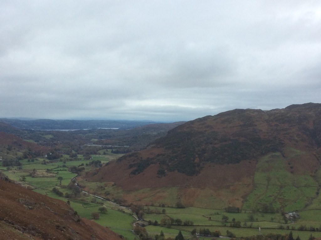
From here it was a direct route north up to Blea Ridge with a cold, cold wind. At least it blew the smell of piss away from my nose! And from the top was a panorama. With Stickle Tarn down below and Morecambe Bay in the distance.

Again, heading due north over a plateau, the occasional groups of walkers evaporated. The views didn’t.
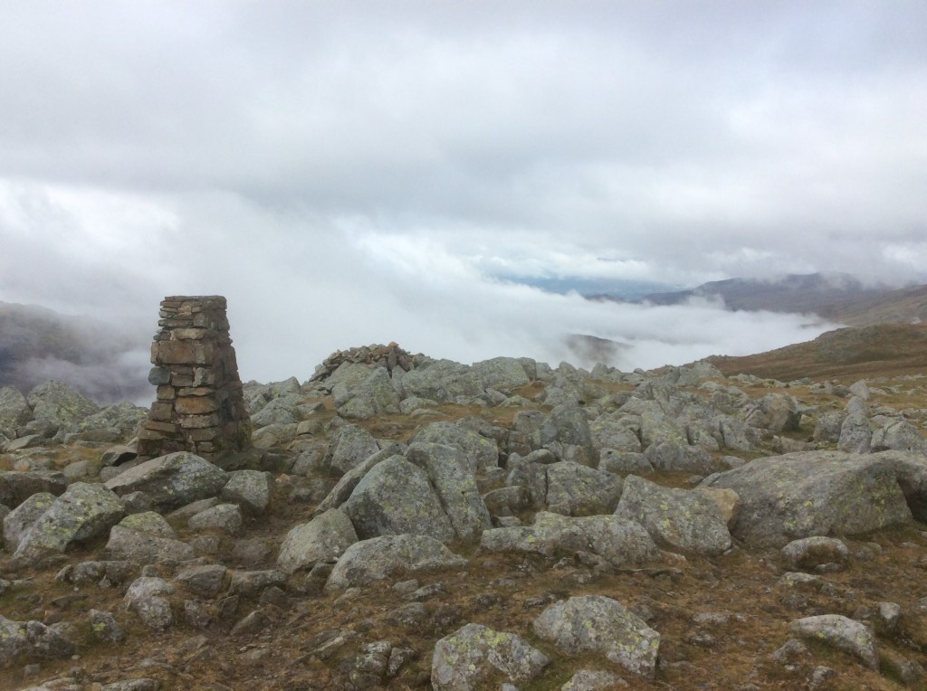

I had to drop down from here through a valley leading to Thirlmere Lake. And it was a seriously long, boggy and arduous slog. When it wasn’t boggy it was a scramble. No wonder I saw no-one all afternoon. Part way down the valley a huge stag was braying for a rut. Loud as a foghorn. His concubines were hanging around him looking gorgeous but I decided not to throw my hat in the ring. In fact I fricked off quick before he could challenge me, and sadly before I could take a photo.
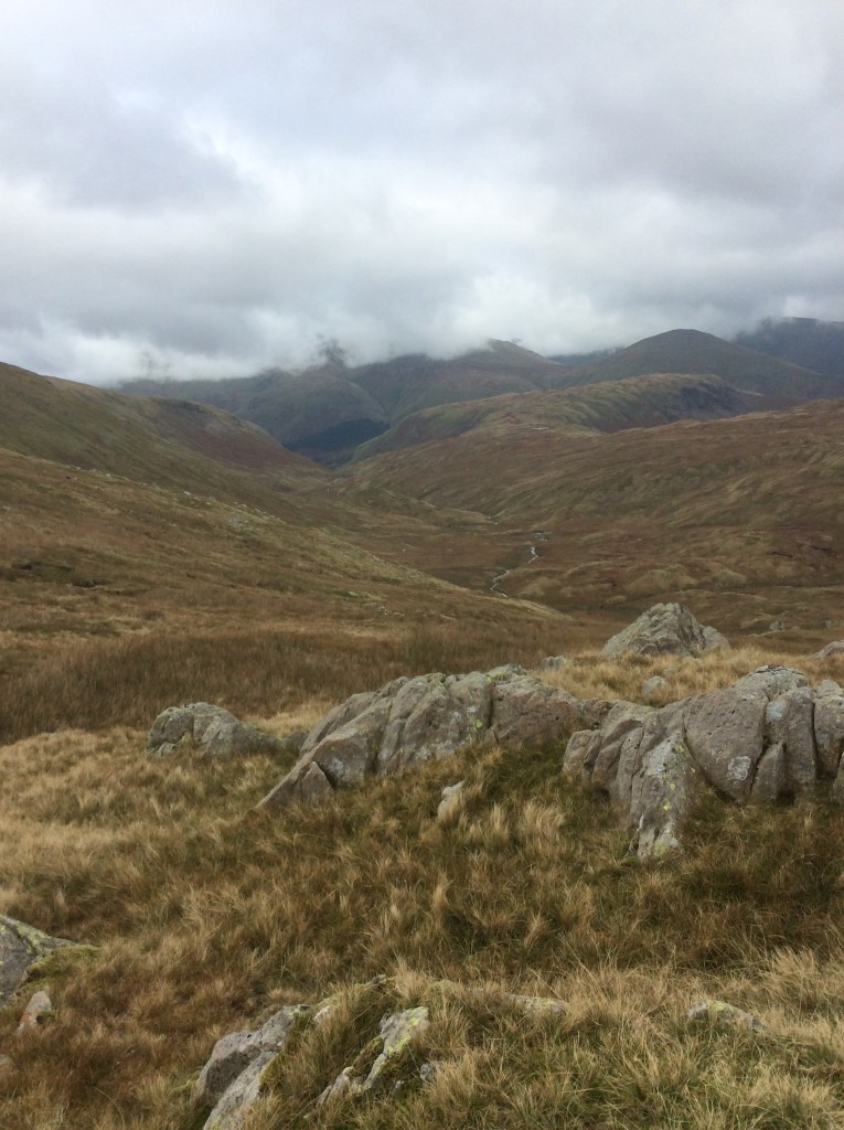
And then the valley dropped further at the end.
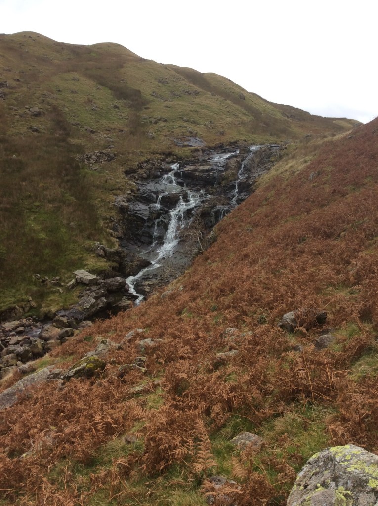
At the head of Thirlemere was a path that ran along the side of Hellvellyn, and parallel to the lake, to my campsite. Lovely views of the lake, through the rain that started mid-afternoon.
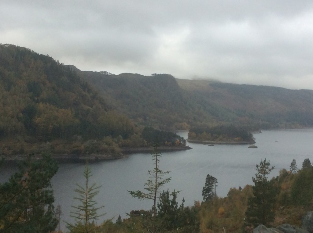
Twelve tough miles. Took me nearly 8 hours! Then pitching my tent in the rain and dashing into the hotel next to the site, and bagging a table for one in the fully booked restaurant. Sometimes it pays to look old and pathetic. Luckily they didn’t smell the piss before I took my seat.
Night night.
Wasdale Head to Great Langdale – how pleasant it is.
Thanks Dennis Brown.
Well, a good day today but a poor result on paper. Only 8 miles and it took me fewer hours than I thought it would. Less hours is ok.
The day was cloudy, dry, but chilly throughout, although it started with a Muthafarter of a breakfast. The Wasdale Head Full Breakfast, with toast and tea. I was away by 09.45am hundred hours, with my pack feeling heavy but my heart feeling light.
Up the route I’d taken on Wednesday, the higher route, with a great last view of Scafell Pike to the right and Base Camp back down below.
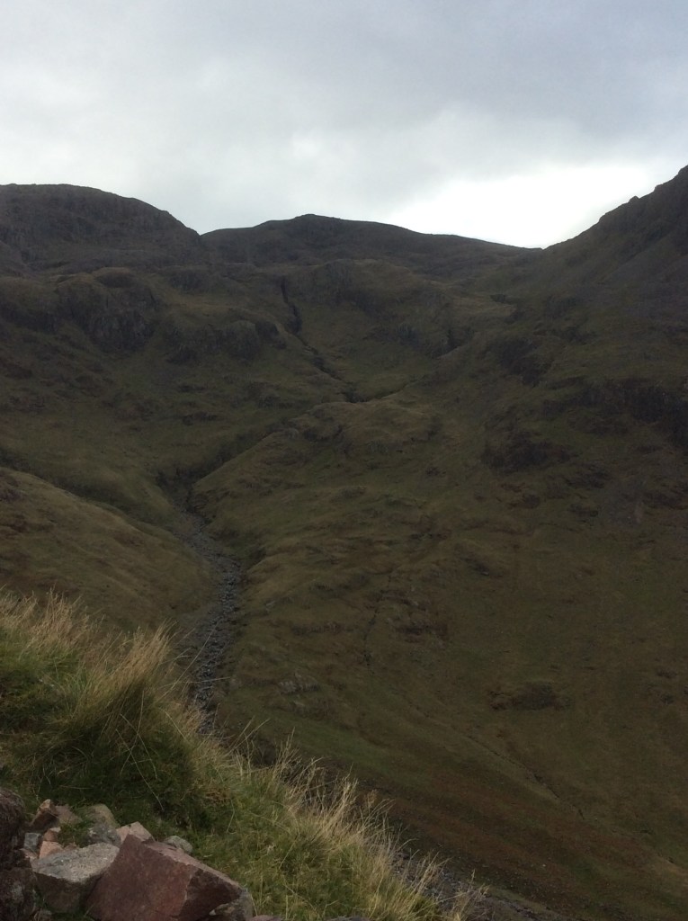
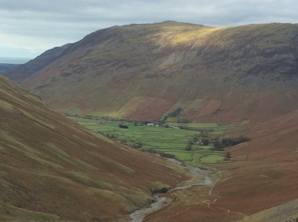
It’s hard at clickety clicks with a 16kg backpack and a steep endless climb, but you just need to concentrate on the next yard, take short steps and control your breathing. And eventually you are up, over the brow and onto the next phase of the climb.
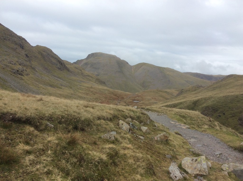
And eventually, with a sweat on my back from the rucksack, and a cold wind in my face, over the top of the pass and looking towards the Langdale Pikes on the left and Windermere in the distance.
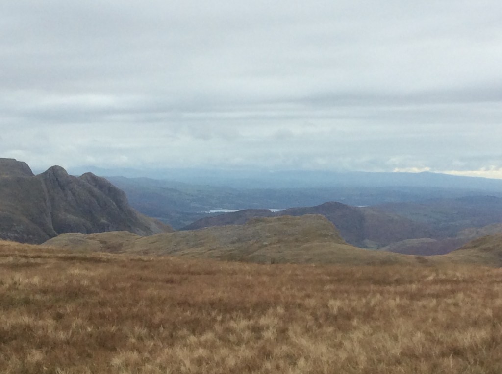
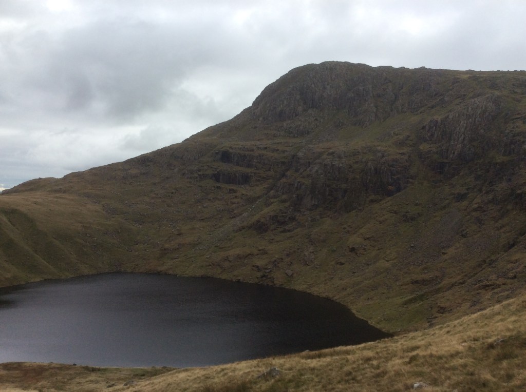
It was a bitter wind, but it eased as I dropped down towards Angle Tarn, with Esk Pike standing guard behind.
When you’ve got a high opinion of yourself, like me, you get disappointed that the climbs are difficult and the descents are painful. When you’ve got a low opinion of yourself, like me, you expect to be crap at everything. The joys of being a Gemini.
One last climb up to the top of a pass beyond Angle Tarn and then a long drop to Great Langdale. What a great example of a glacial valley. They churned through here as recently as 30,000 years ago. That’s when Sheffield Wednesday were last in the Premiership.
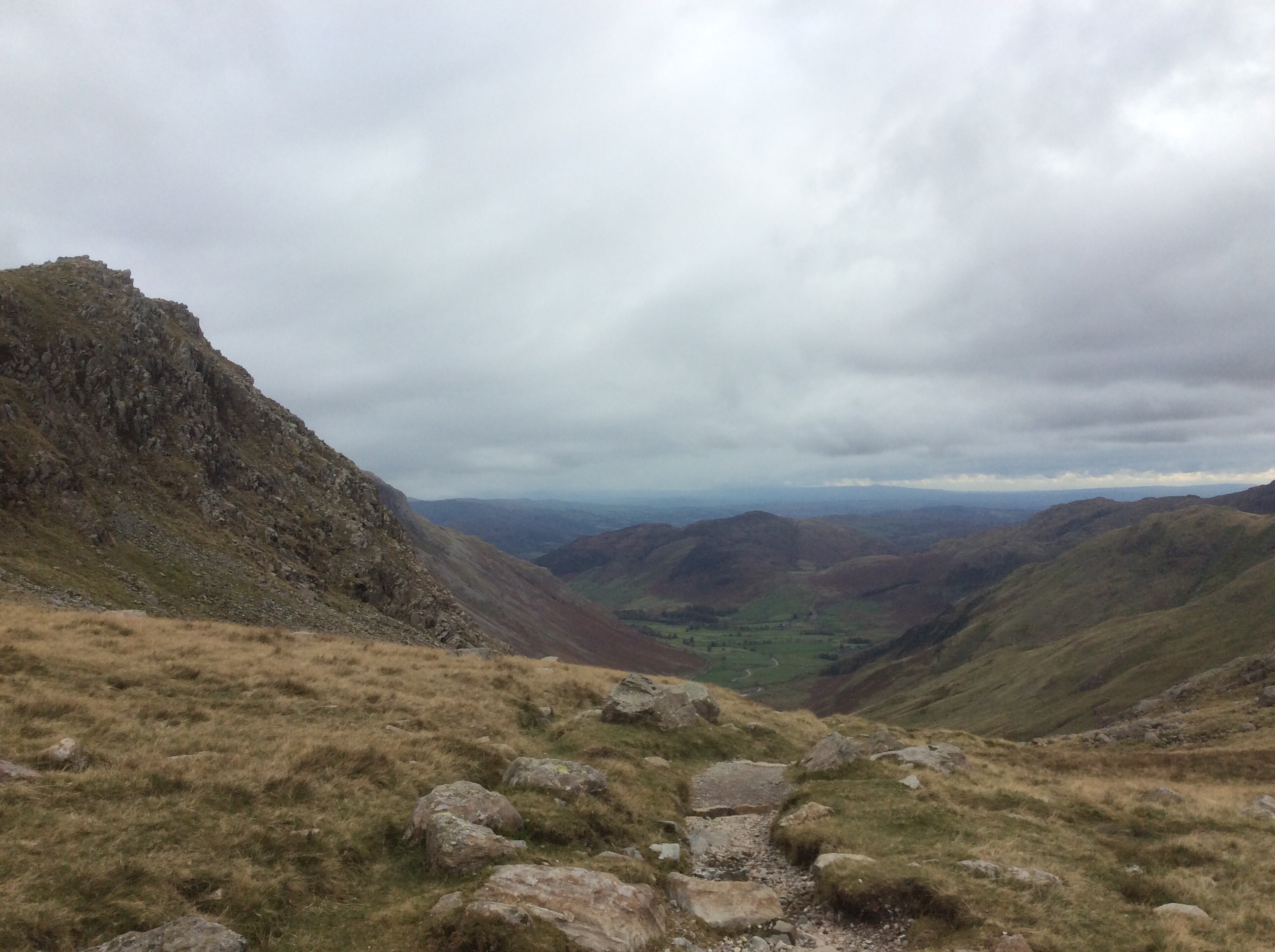
I’d done well because it was a big climb and it was a difficult descent to the valley floor. I’d done very poorly, as most people would expect, and talk about behind my back.
The ice covered this area and ground out the valleys. As it receded, as the glaciers melted, it dropped big mounds of earth that it had carried along for millennia. Here are great examples. They’re called Drumlins and you can see them in the picture below. Waiting for me like huge Anglo Saxon burial mounds. If the Dead call me in please summon Tom Bombadil. Thanks, beyond any thanks we can give in middle earth, John. Nearly fifty years of sheer joy.
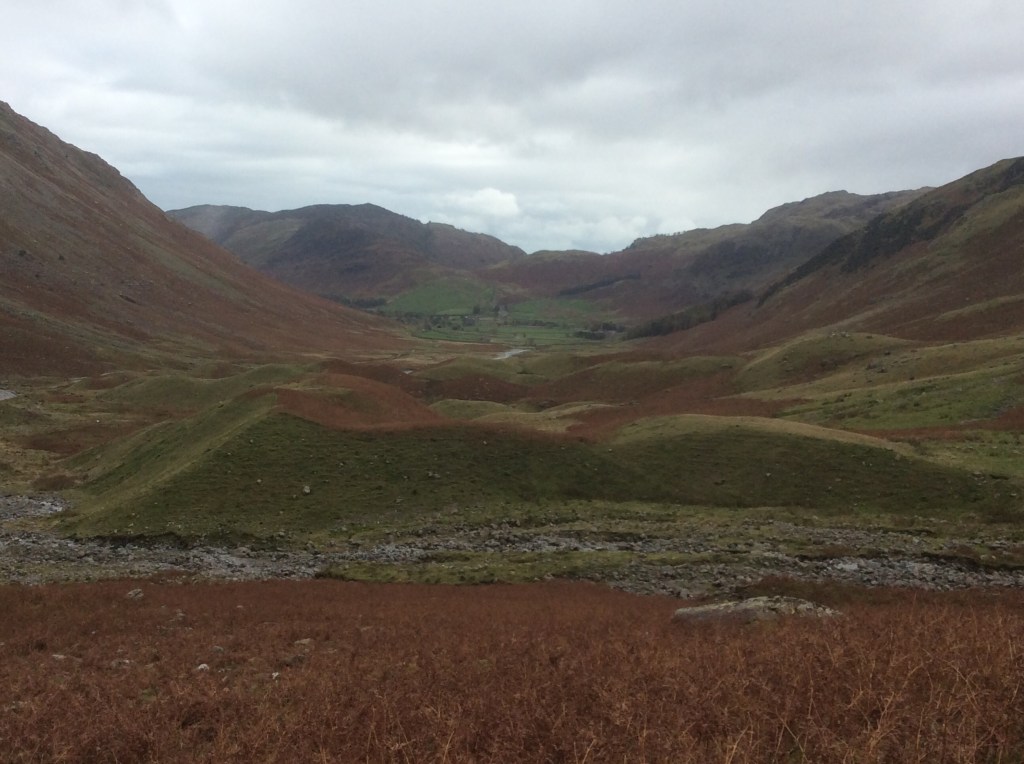
From here it was slog, down to the campsite in the trees on the far left. Overlooked by the majestic Langdale Pikes.

And looking back in the middle is the pass I came over from Angle Tarn.

A great day. Under canvass tonight for the first time this trip.
Night night.
Sca Fell Climbed Today – Slowly but Surely
Another beautiful morning. I awoke with great pains and strains in my legs after yesterday’s efforts. I reckon I did 12 miles but I didn’t set my garmin wristwatch right that the family bought me for my birthday so it’s an educated guess. BSc(Econ) with honours. Douglas Hurd. The pain came from the up and down rather than the along.

Today’s goal is the second highest mountain in England, Sca Fell, and from here it’s a bugger to get to when your legs are aching. But then again I’m here and up for it. A reyt good breakfast. He ate all the toast, he ate all the toast, big fat baastad, big fat baastad, he ate all the toast. Ha! Well then simpletons. I’ve lost 12lbs in three weeks so best see the new me before slinging mud.
I set off just before 10am, taking it steady and deliberately today. The route would take me up the hillside opposite the Inn and then round it into the valley leading up to Scafell Pike and Scafell.
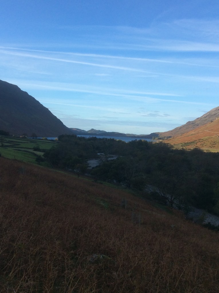
Looking down the valley it was lovely but cold. Going up, the hill was still in the shade up the Scafell valley.
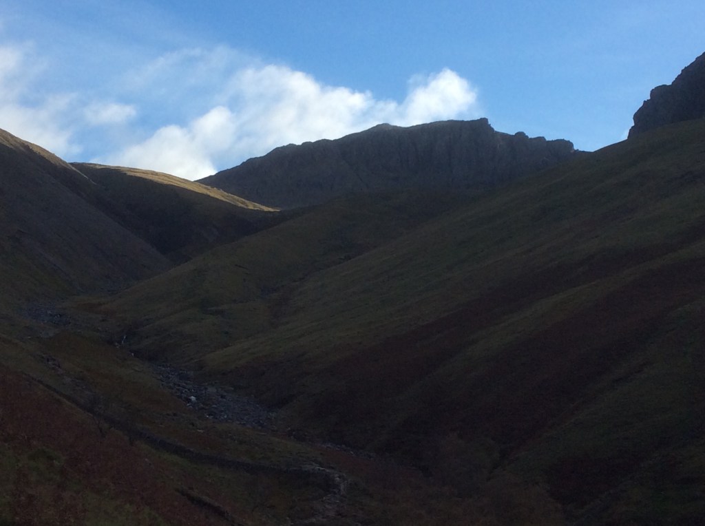
It was a long slog up to a landbridge between Scafell Pike and Scafell, which I had to climb over to get to Scafell peak. I managed it but it was a bit dodgy. And looking back down the valley from the top was great.
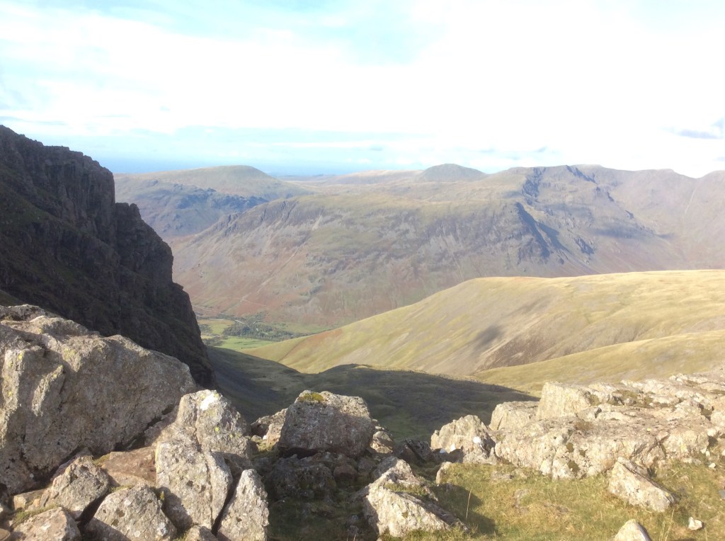
And looking forward, apologies for the over-exposure.
I had to drop down a couple of hundred feet into this valley to find a climbing route up to the Sca Fell summit. I couldn’t find the route but luckily from out of nowhere sprang Geoff in his green boiler suit.
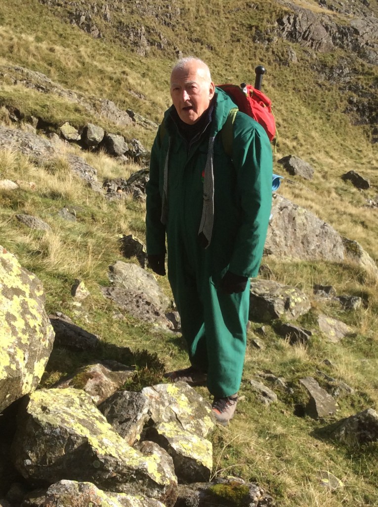
Geoff showed me the way to the gully I had to climb up. It was frickin scary. He stayed at the bottom whilst I climbed up to the next safe step. He was from Lancashire and might have been waiting to rob the fallen body of any valuables. Only kidding Geoff.
I don’t know if you can see him, he’s just a tiny splash of green and red at the bottom of this gully, which is a measure of the height of this climb.

At the top was Foxes Tarn, a small puddle in a big, natural amphitheatre just a quarter of a mile from the summit.
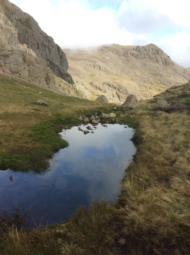
The sides were steep again and part way up the view down and around was amazing.
And then, finally after nearly four hours of climbing, I made it to the summit.
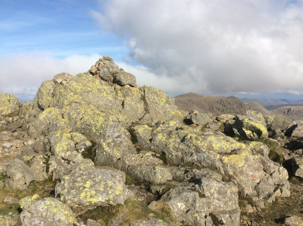
The views from the top were great.
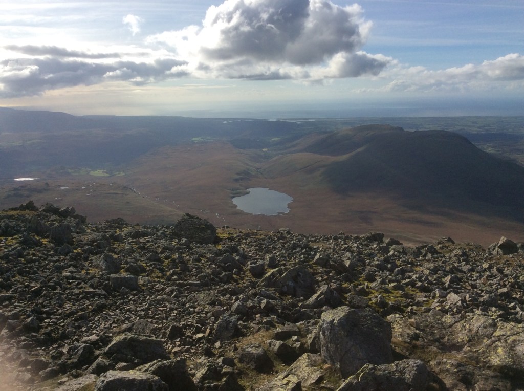
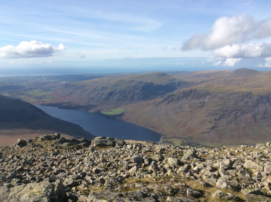
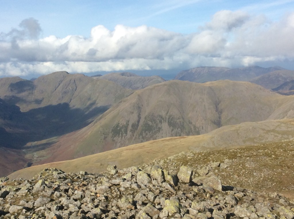
And after a rest in the sun, which had warmed up the air considerably, I was ready to set off back to Base Camp, down the western side of the mountain. And it was chuffing murder. Wobbling down through loose scree and boulders, which tore holes in my boots. The scree went on and on. But the views were amazing.
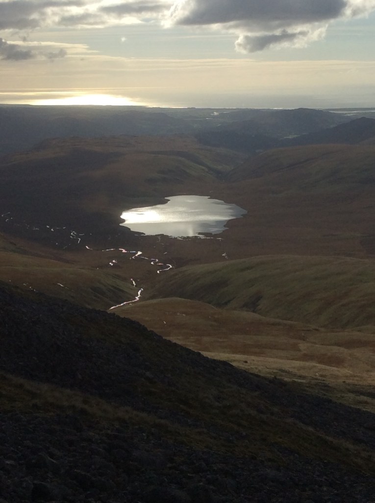
In the end I made it down in three hours, and my legs were like jelly from the wobbling rocks and the bogland below, which seeped through the holes in my boots. Looking back the boulders looked innocuous, but it was bigger and far steeper than it seems.
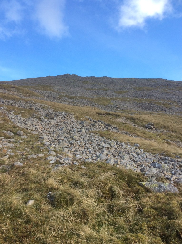
I came upon another amazing view. Have you ever seen a pile of turd as big as this? I think we should put it in an identity parade with five others and get the Queen Mother to sniff them to identify the culprit. Thanks Pete.
Eventually the Inn rode over the horizon. Hooray!
Eight miles today and it took eight hours. Tough, tough going. Early night tonight to get ready for the journey to Great Langdale tomorrow. Alright my darlings.
Night night.
Nailed It! – Scafell Range
. I nailed it today and felt fit as a young person might feel. I’m 66 you know! Sixty six – clickety click. Oh those heady days of bingo on North Sea Ferries.
You might have gathered that I had a good day.
Breakfast at the Inn was great…..Yeeeeessss!!!!!! Give me clogged arteries any day of the week. And the day was cool but beautifully dry.
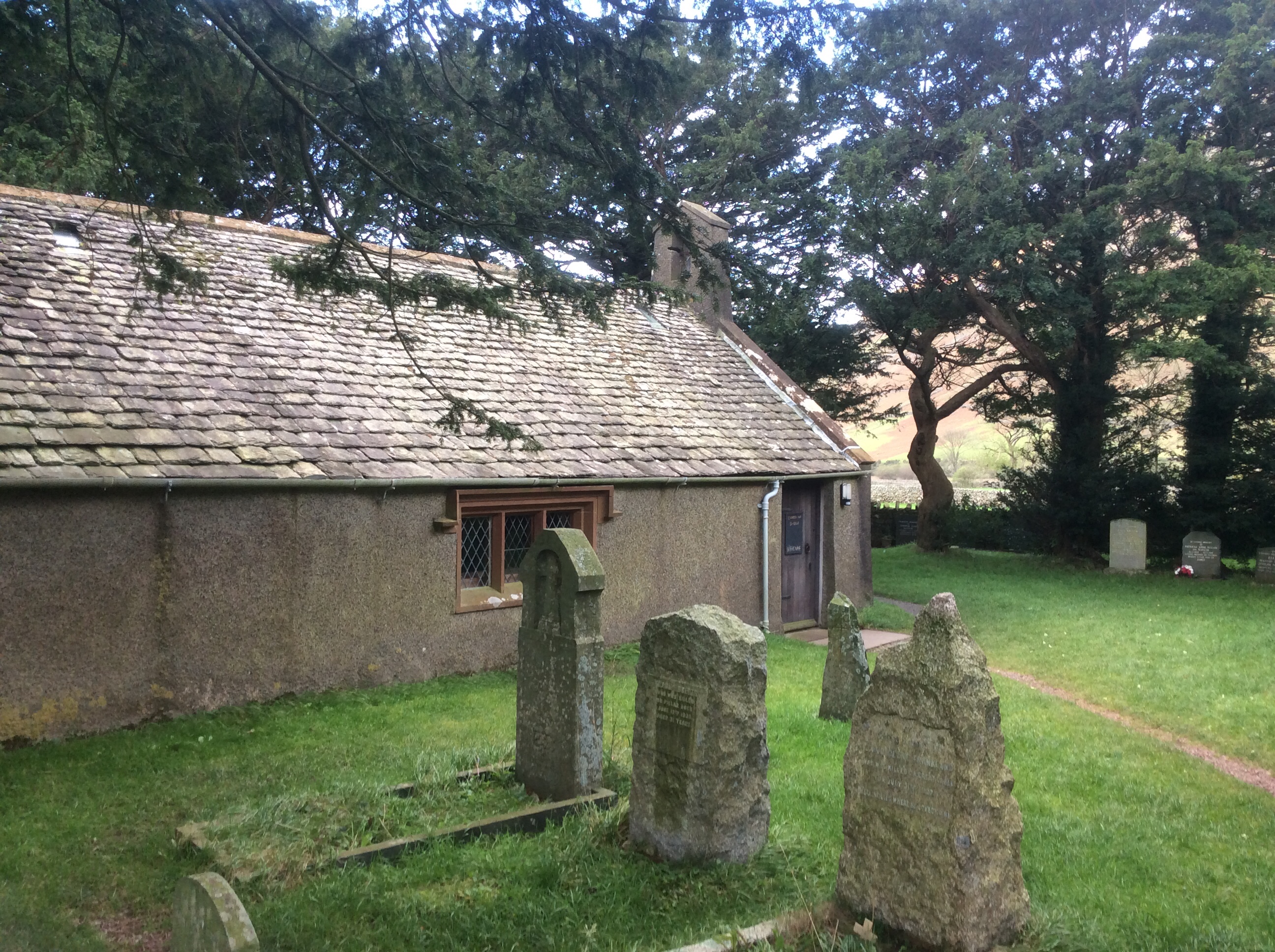
Apparently St Olaf, the patron saint of Norway, came over to these parts over 1,000 years ago to help build defences against the Saxons for the local Viking community. This is St Olaf’s church, rebuilt 1550 but there’s been a church on the site since 950AD.
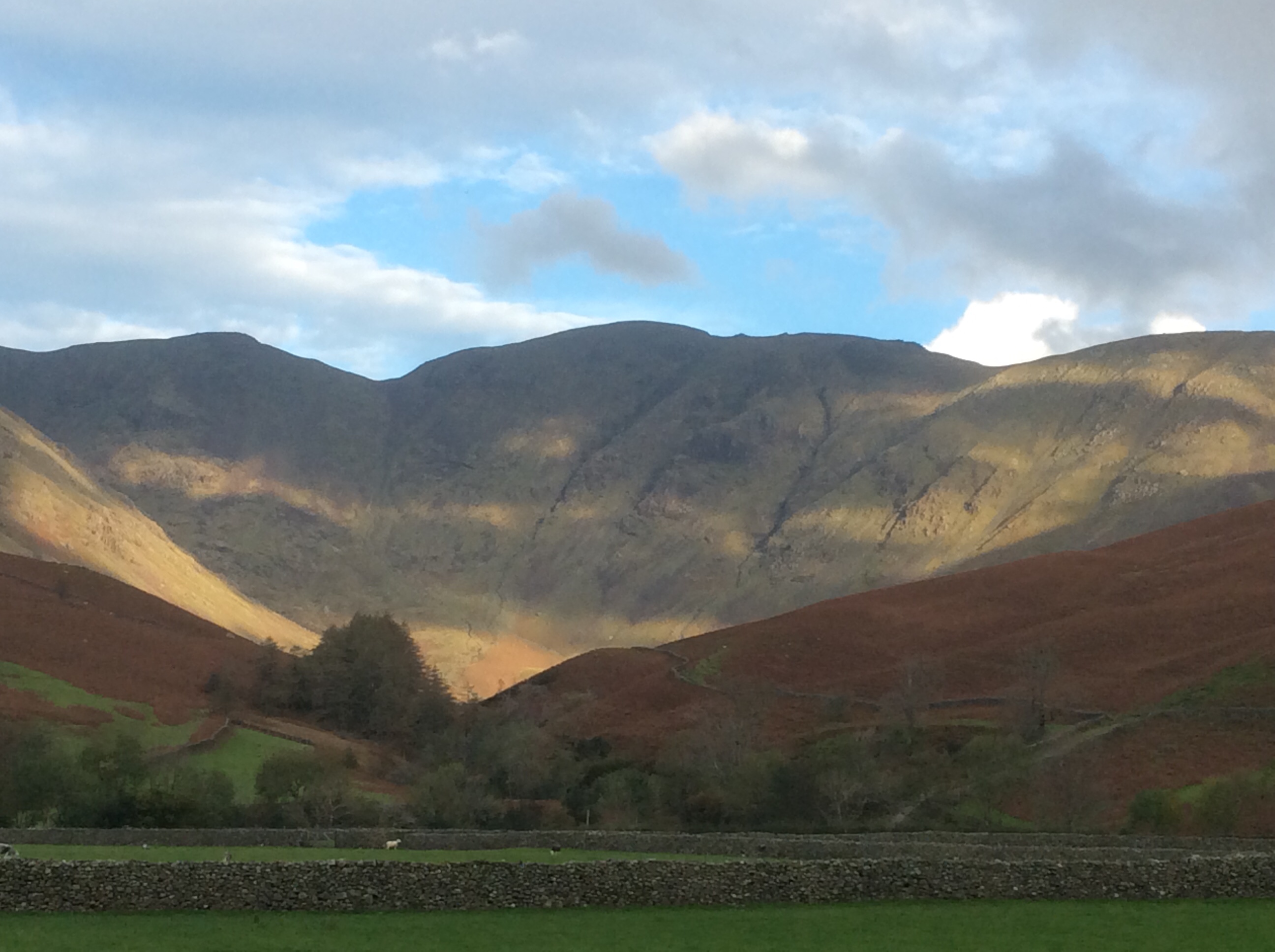
I decided today to head up Wasdale, over the top, and cut back towards Scafell Pike (highest peak in England), scrambling up Ill Crag and Broad Crag (4th and 5th highest peaks) on the way. And the scenery was like this.
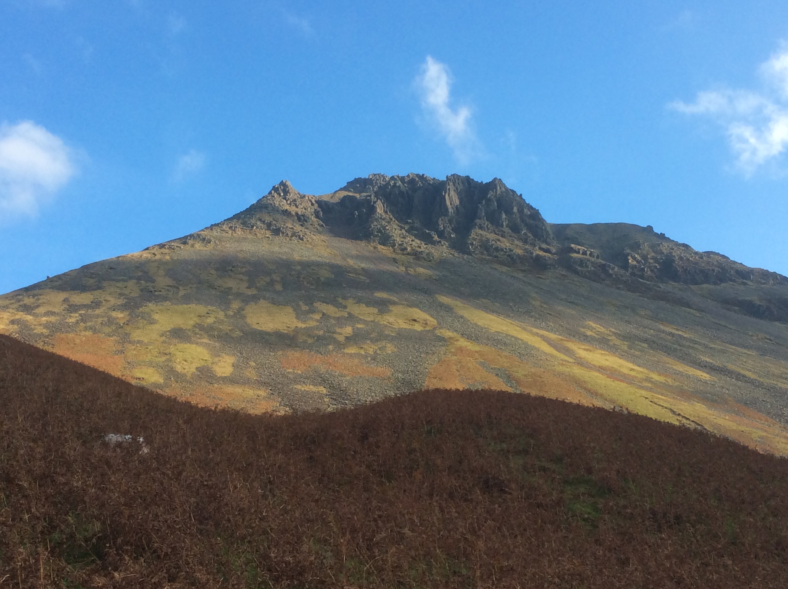
The lower path wandered up the valley, but I took a higher route so that I was higher up when I began to feel tired. A good strategy from a wily old fox.
Looking back was lovely, seeing Wast Water in the early morning.
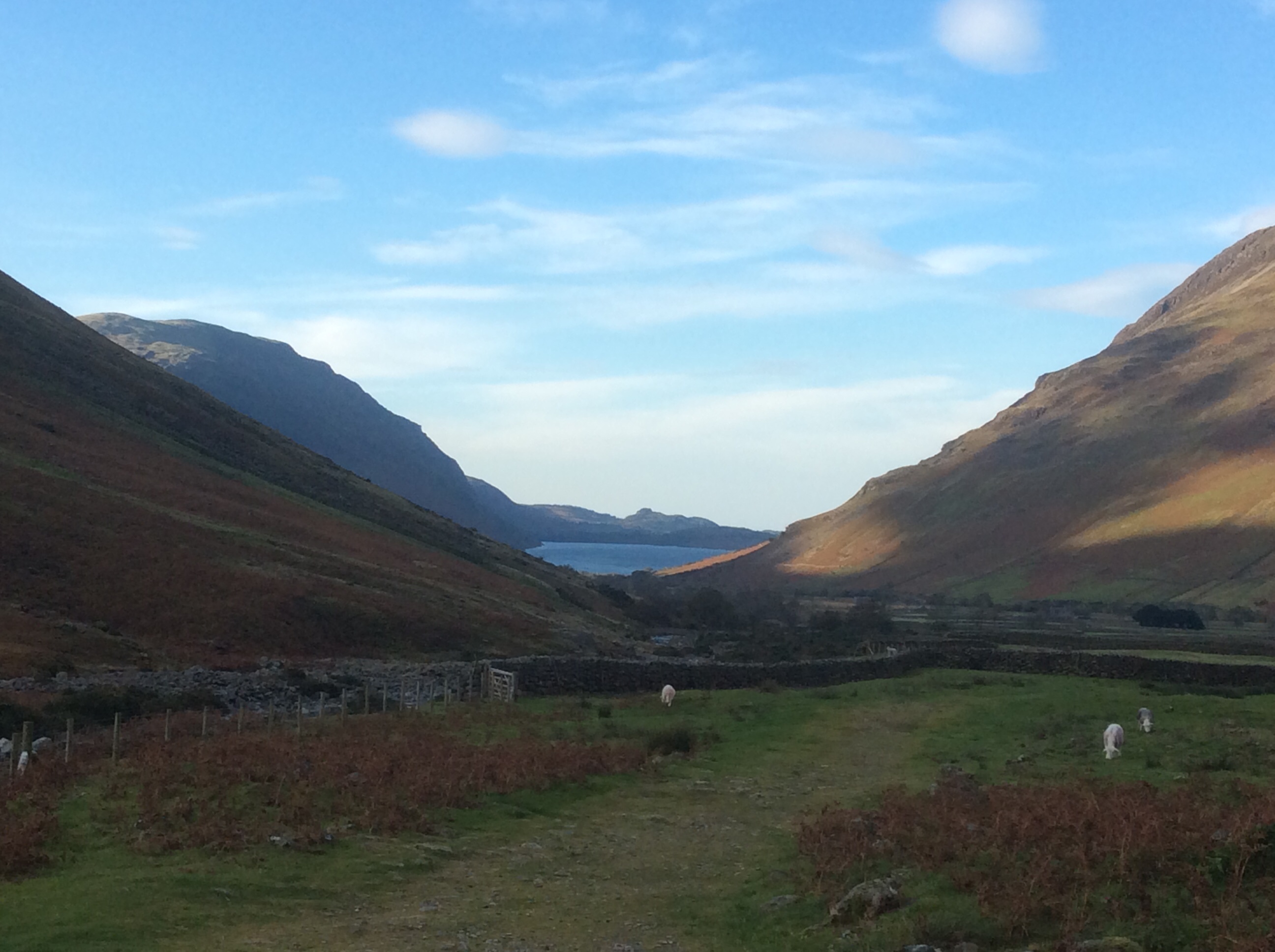 I made really good time, without a rucksack, and the Inn soon shrank.
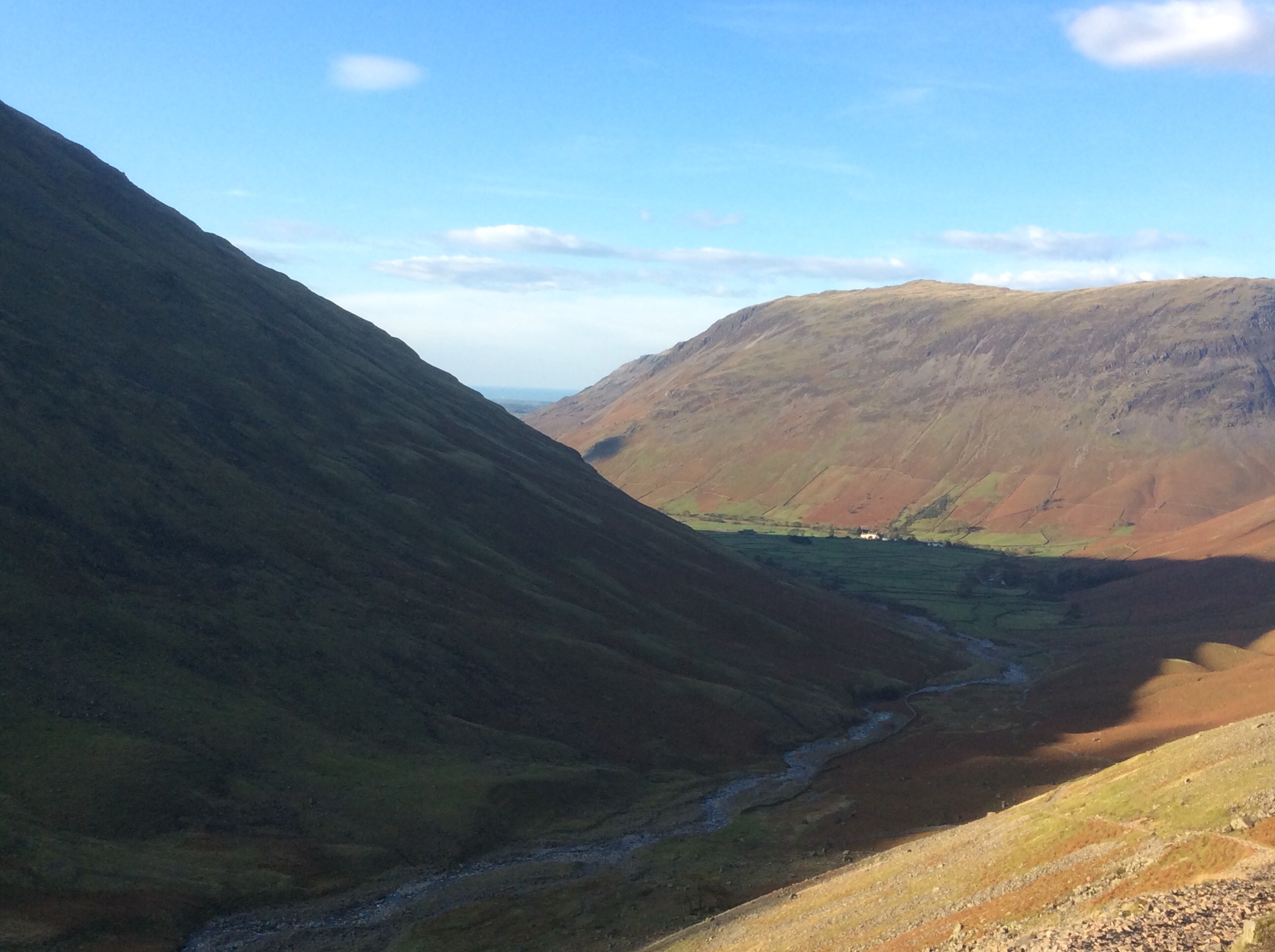 It was a long slog up to the top of the valley, and beyond it was another world of higher moorland and mountain peaks. Really lovely stuff. And looking back the way I’d climbed was great.
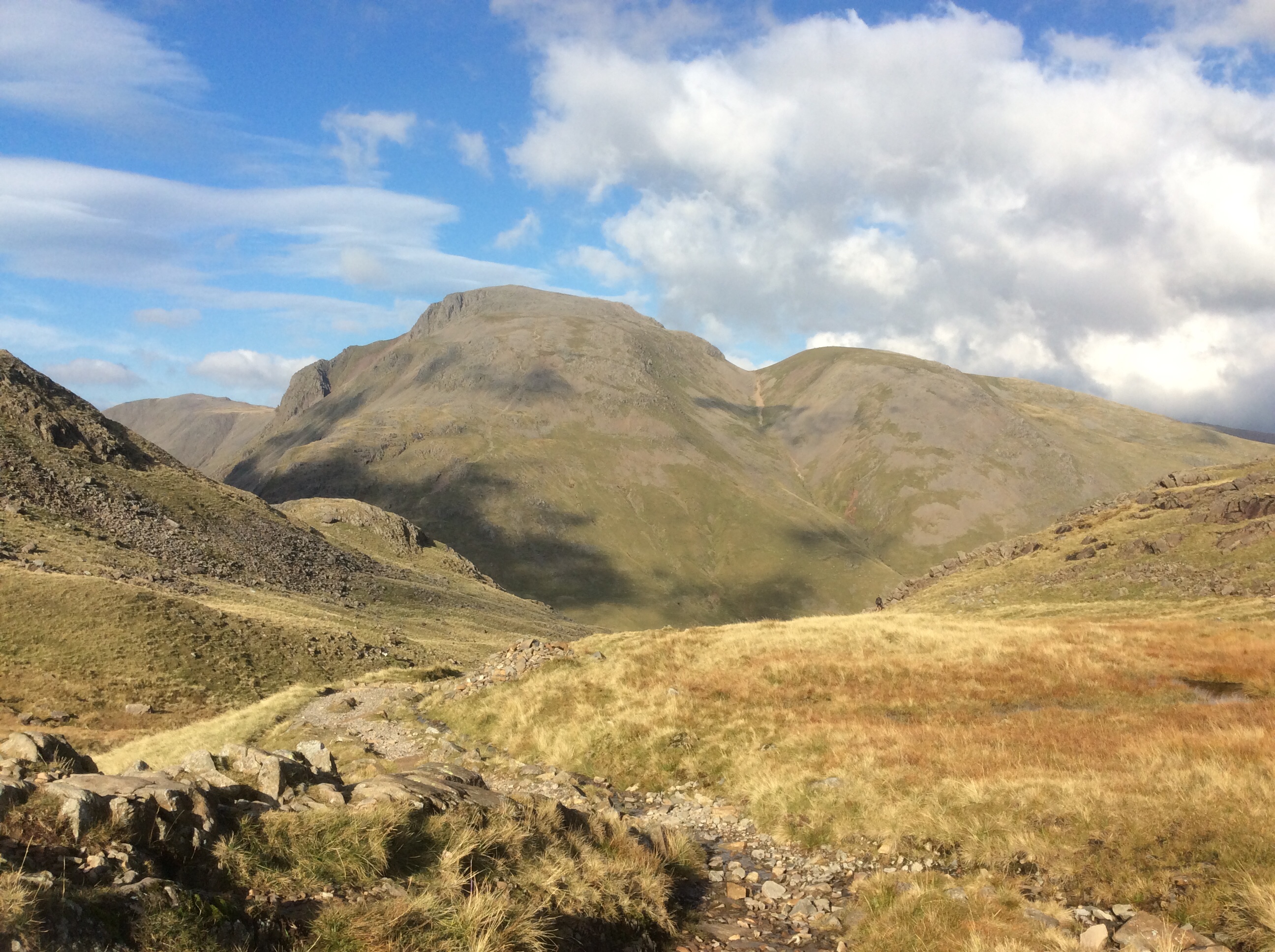
Then I turned round and looked to my right as I was climbing.
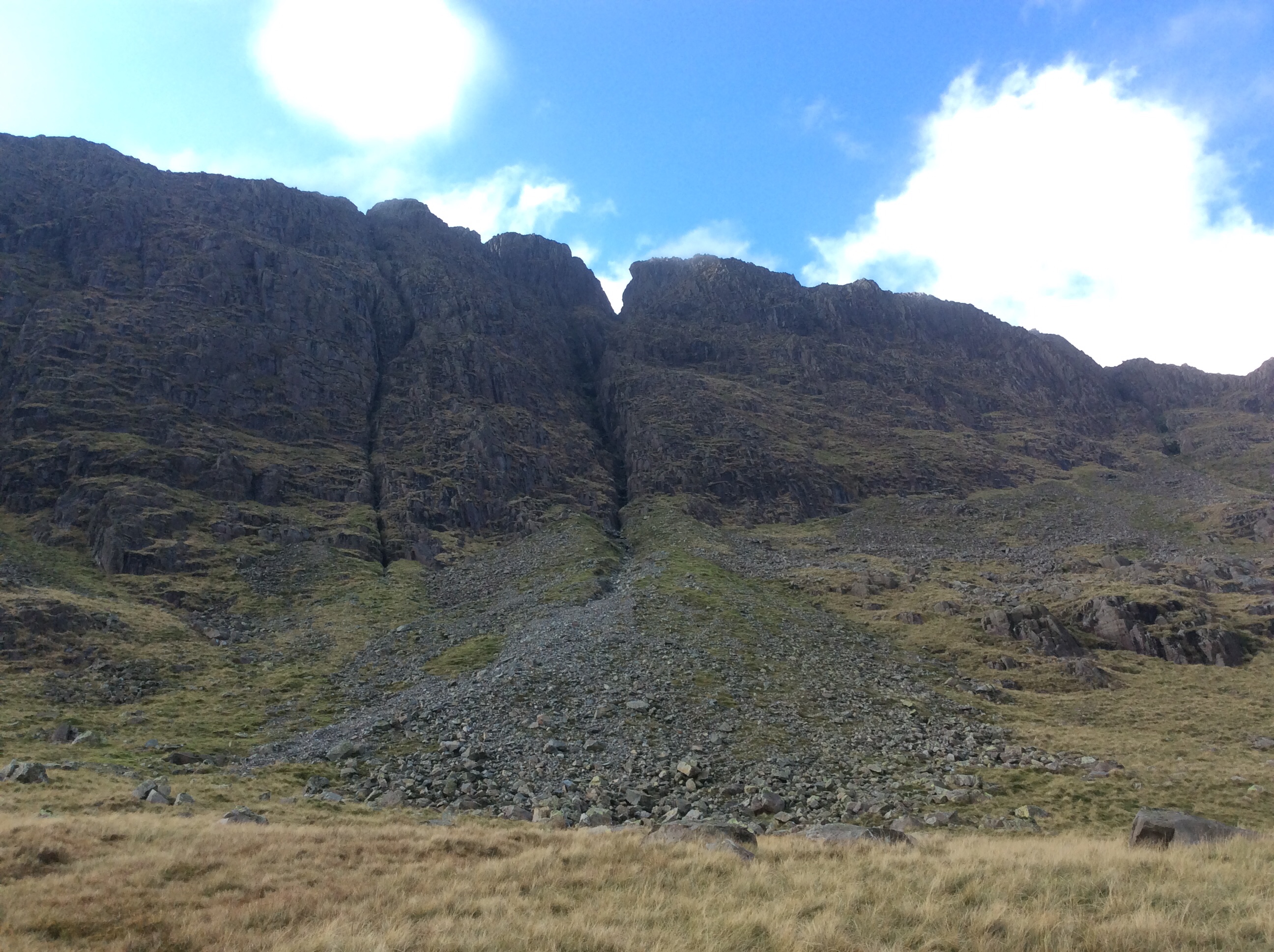
How good is this? Windy up here, cold and essential that I got my scarf, gloves and woolly hat on. But nowt else. Schooldays.
And looking in the other direction… Keswick in the distance.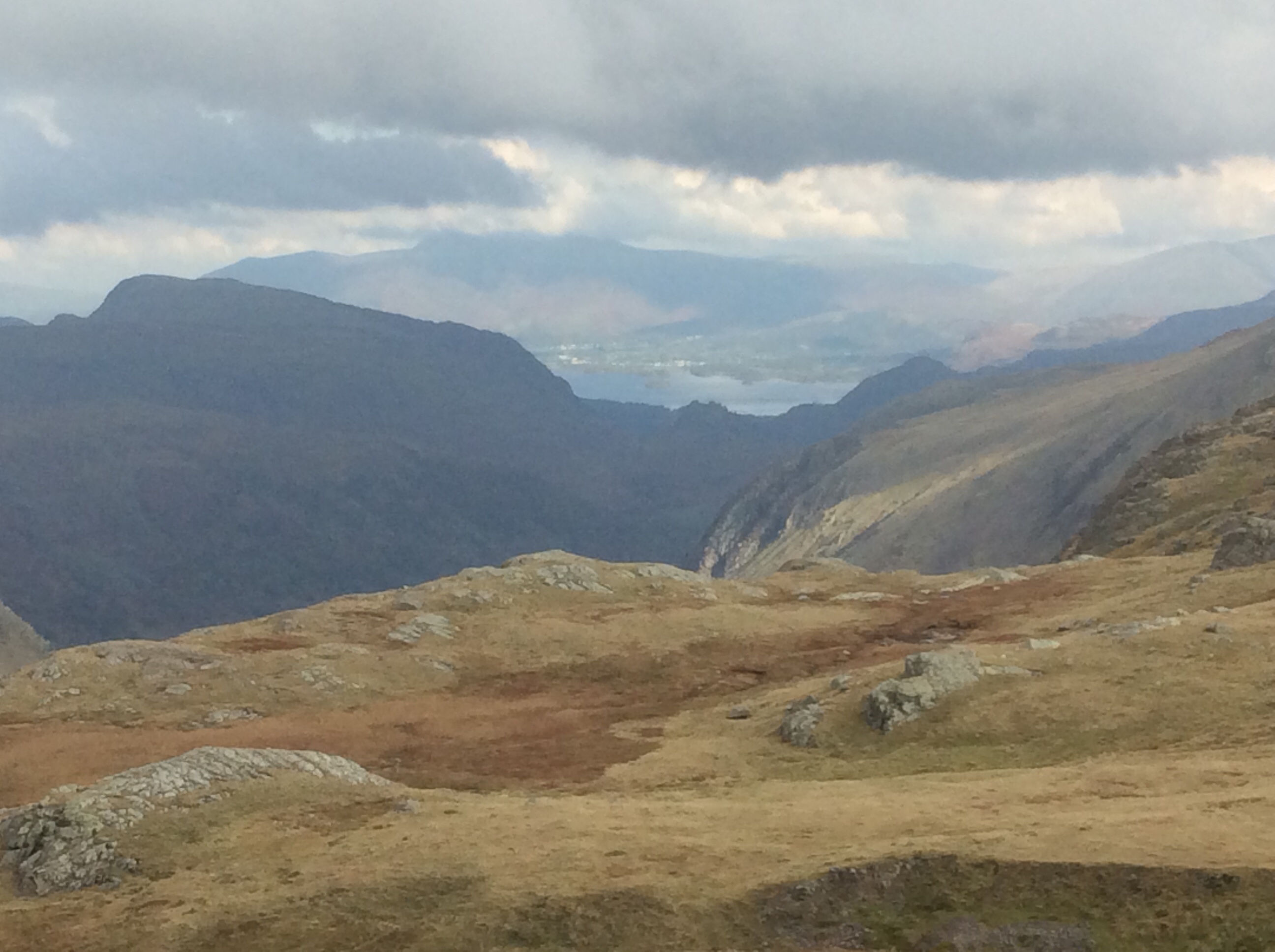
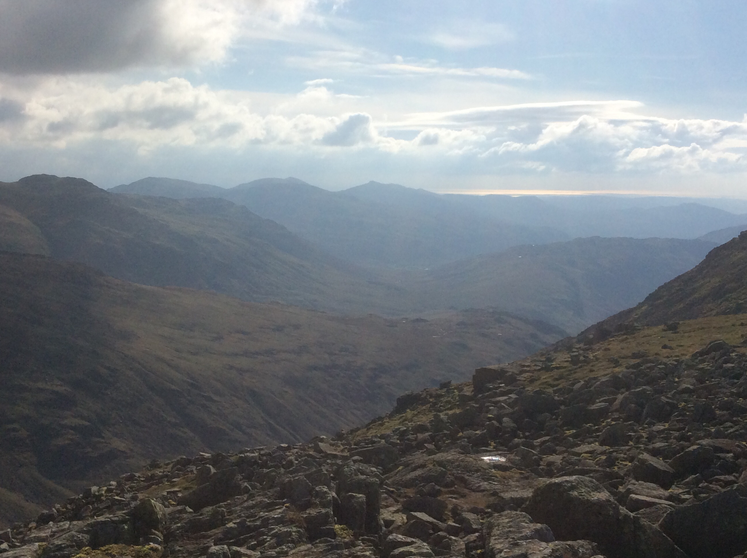
Eventually I reached the top of the pass where the land dropped down towards Morecambe Bay in the far distance, but I turned right, up another mountain side, before the drop. Half a mile of steep climb took me to Ill Crag, the 4th highest peak in England. The view from the top was great, all the way down to the sea.
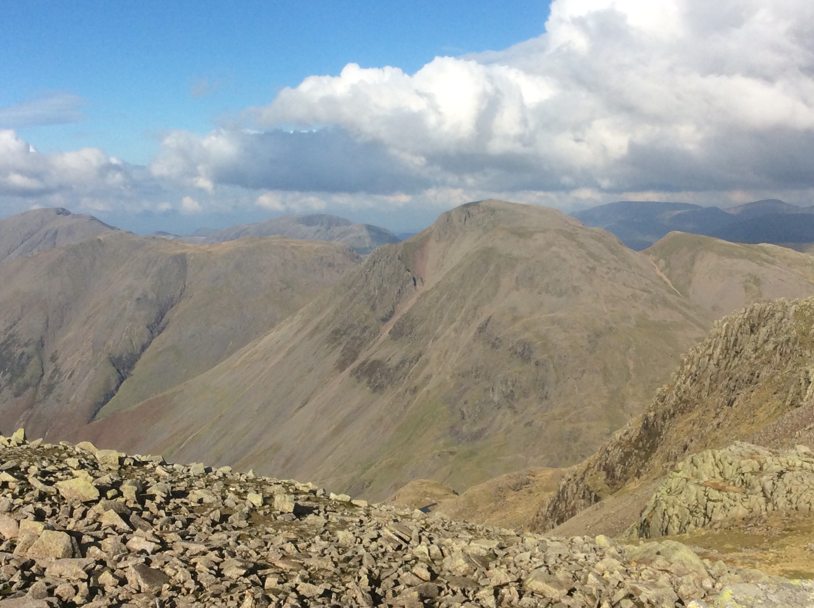
I scrambled over and up the northern side of the Scafell range to the peak of Broad Crag, the 5th highest peak in England, with lovely views again.
Then the last long push across the range to drop down a few hundred feet before a steep climb to the exposed summit of Scafell Pike, the highest mountain in England. It was windy and cold and there were a lot of day walkers. It brassed me off that other folk were there. I’d come up the long and arduous back route. These folk had climbed the less difficult front route. Maybe I should relax more. But the real summit was rough.
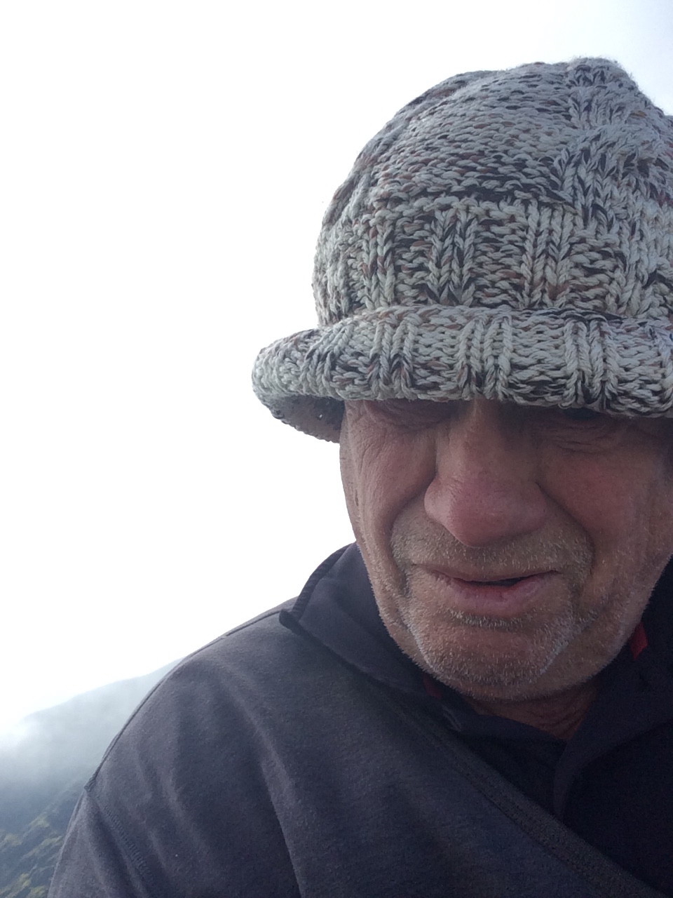
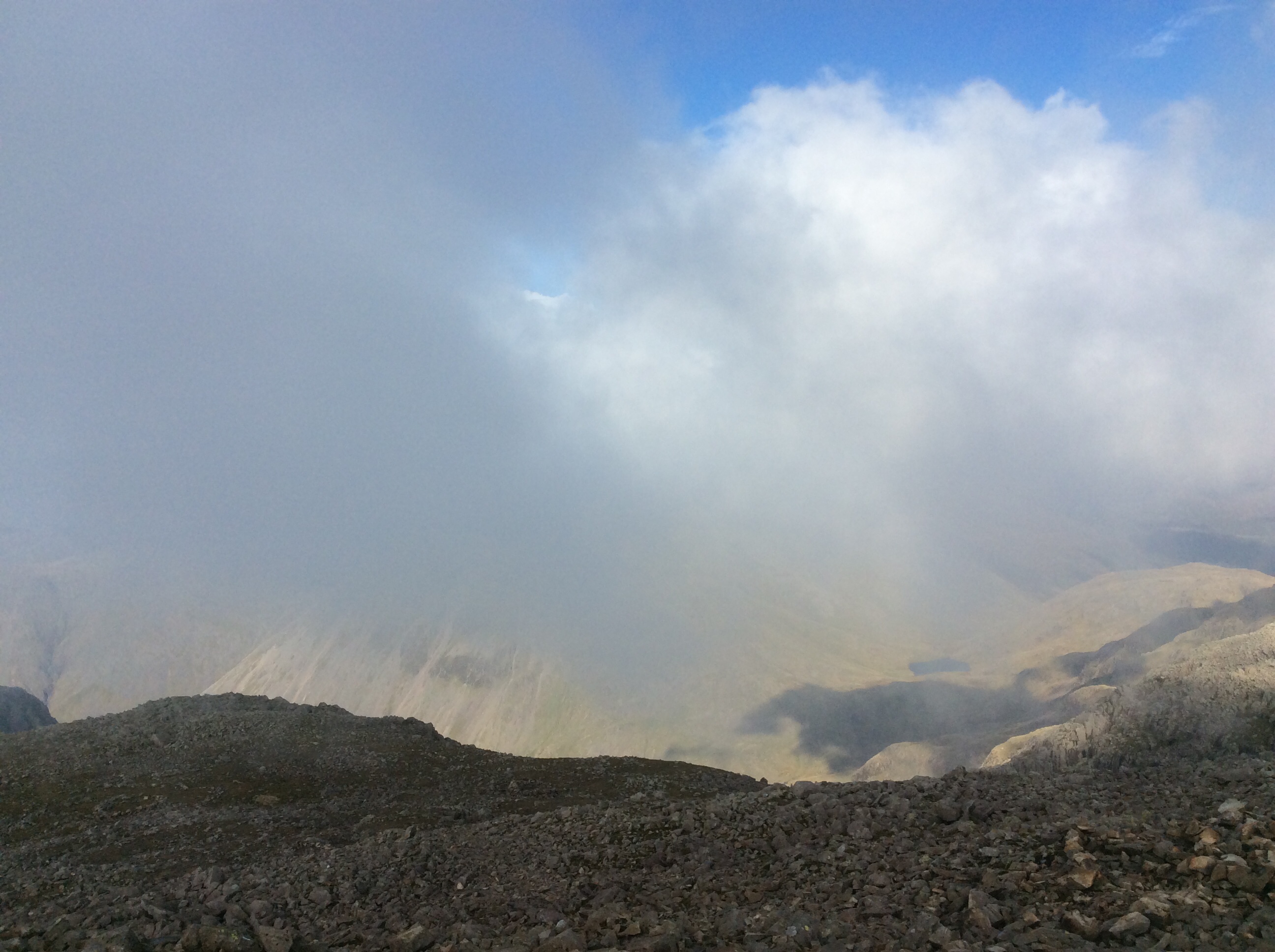
Three of the highest five in England. I’ll settle for that today. I set off down but there were so many folk climbing up the main route that I pushed off it, round towards the valley I had walked up. It was a rough route but eventually I met up with The Corridor, a half decent path, with great views of my route up.
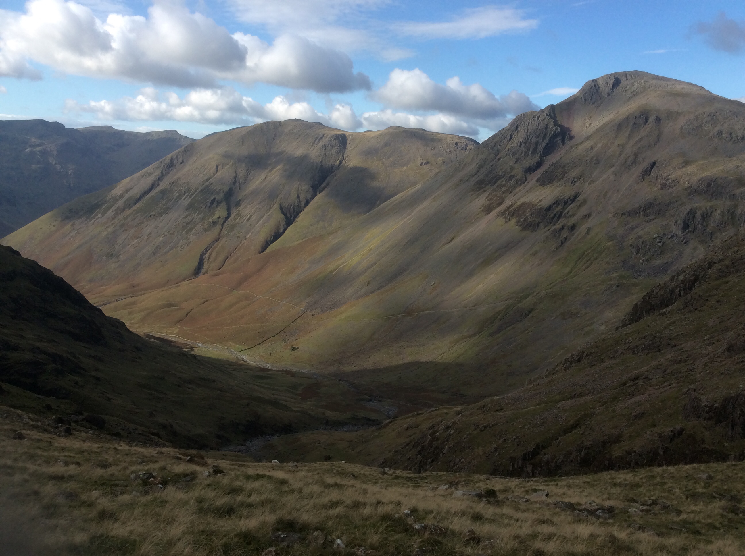
Eventually I was back at the Inn. Great day, three out of the top 5. Great day.
Night night.
Blade goes West to East / Coast to Coast
My original intention this time was to walk the Cape Wrath Trail again, using a different route closer to the Scottish west coast but still through remote areas. With a severe lockdown on hospitality in Sweaty Sockland I decided to switch to the English Coast to Coast path, which crosses from the Irish Sea in the west, through the Lake District, Yorkshire Dales and North Yorkshire Moors to Robin Hood’s Bay on the North Sea coast. It’s just under 200 miles but I’ve added a bit.
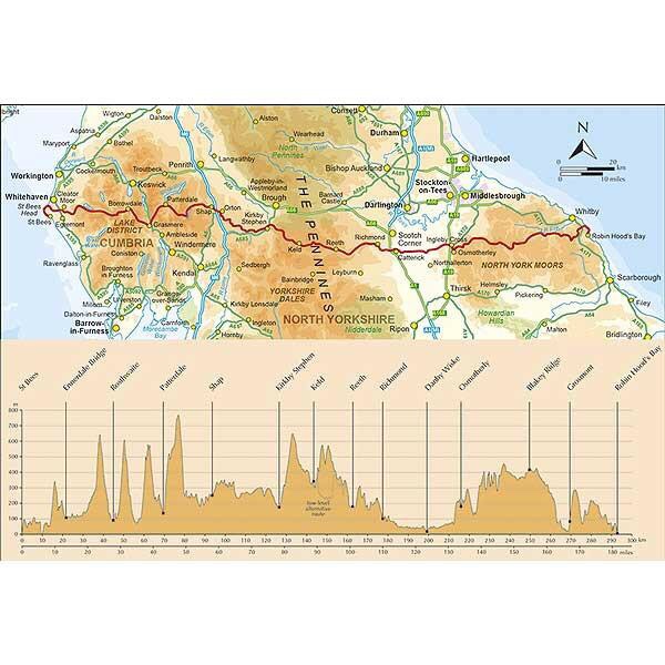
To my shame I’ve not spent much time in the Lakes so I decided to start further south than the classic route, walk inland to a base in Wasdale for three nights and climb the five highest peaks in England. Then I’ll set off for the east coast. How super! Jesus. This blog is boring me.
I got a train from Leeds to Seascale this morning at 6am and arrived, after two changes, at noon. £10. Bargain of the month! On the last leg the Isle of Man was clear out west and Scotland was visible up north.
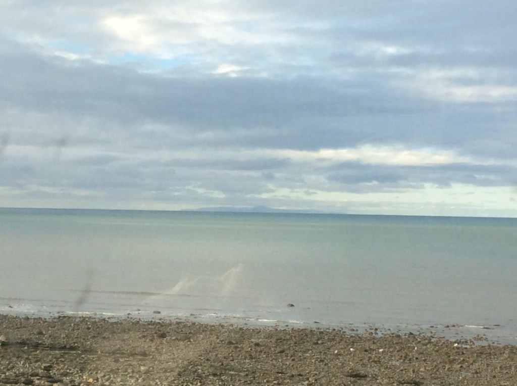
Doing the Coast to Coast (C2C) it’s traditional to dip a part of your anatomy in the Irish and North Seas. I’ve put two vids up as I had to cut out very rude language in the middle.
It was decent walking weather, cool and dry, and it was great to get a trek underway for the first time in 13 months, with a rucksack on my back. The route was all road walking for 12 miles but for a first day that was great, and I was a bit loaded up.
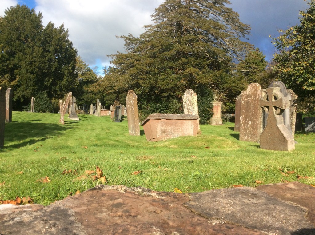
Gosforth was a decent village with an old church and a jolly graveyard. The headstones and caskets were reeling around. They’re having fun under there!
Another 5 miles and I was well and truly in the Lake District. I couldn’t get the smile off my face. It was frickin frozen on by the wind.
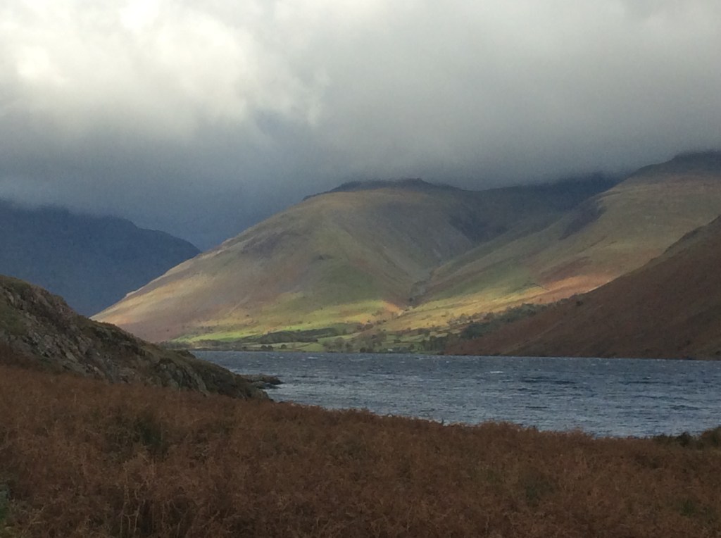

And just when I was getting tired and cold from the incessant headwind……… my lodgings appeared! It’s a good spot. The food is pub food, the rooms are adequate and the bed is brilliant. Hooray!!!
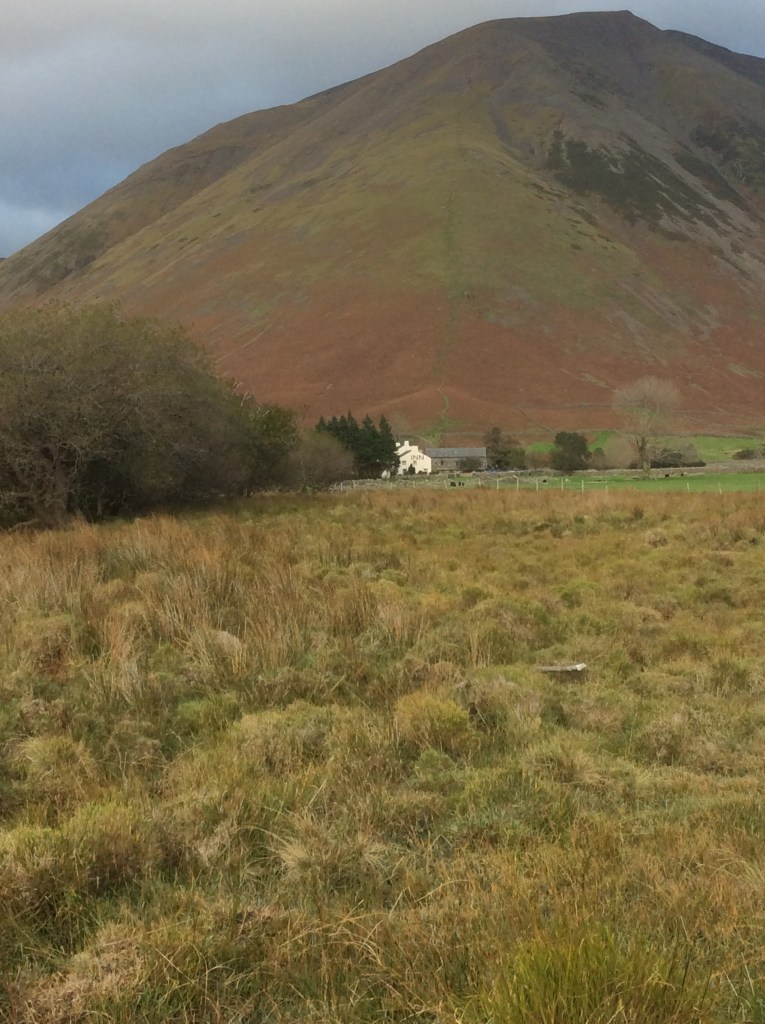
Tomorrow is a climbing day. Can’t frickin wait.
Night night.

