Blakey Ridge to Sleights – not on the buses – but maybe on the trains
I hate you Butler. A bit of an obscure reference for under 60s. Anyway, I’ll let it pass.
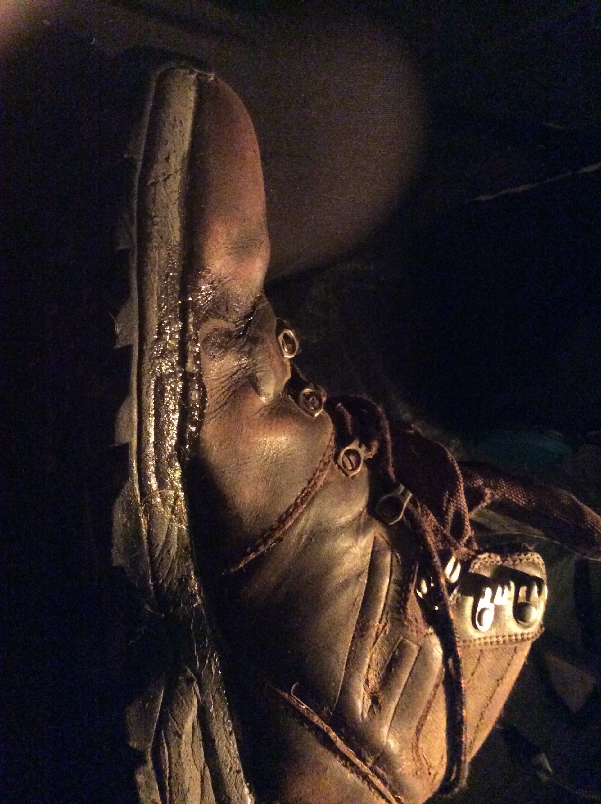
Today it rained. Not only rained but persistently. It just makes it hard to get decent photos when all you can see is the inside of a cloud. Great breakfast, latish start (9am) and I’m away, with my rucksack contained in a cheap, plastic poncho bound by garden twine. And my boots still holding together with superglue. New kit? No need. Up-cycling, hillwalking, freewheeling, Bob Dylan. How did you get here? You got a lot of nerve, sing Positively 4th Street for me.
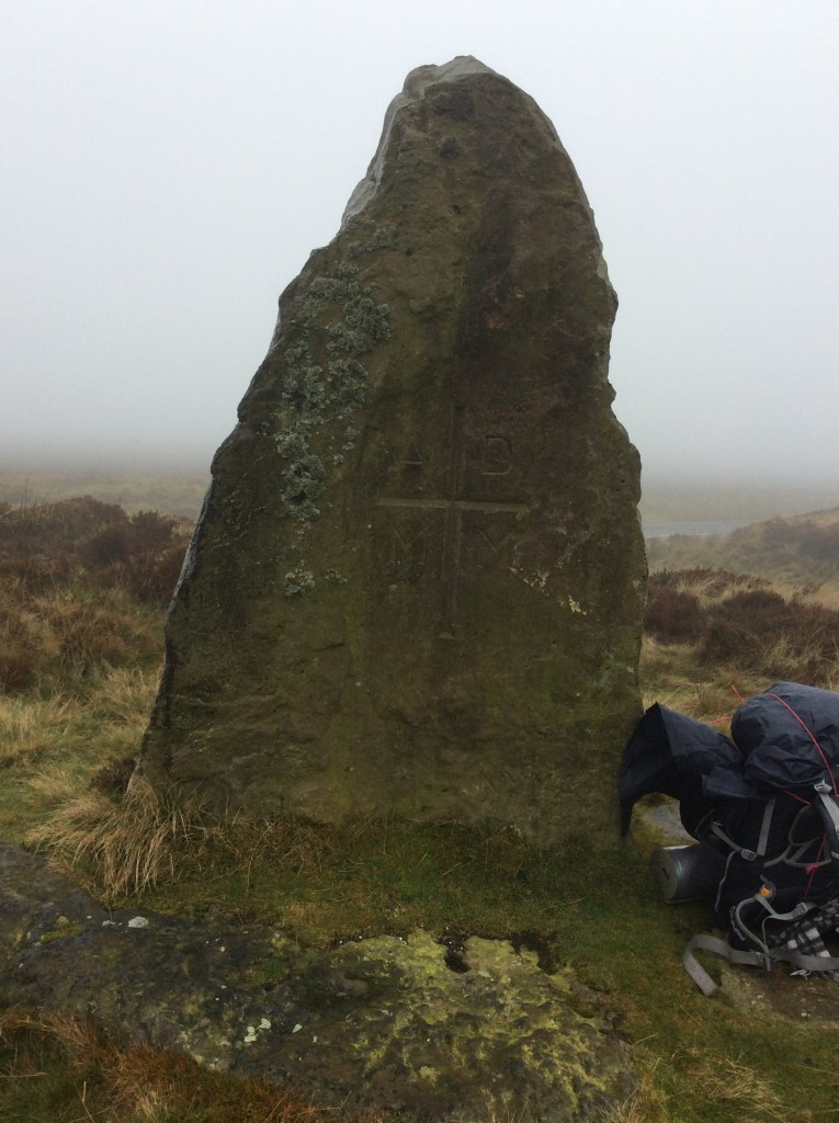
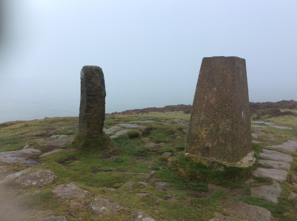
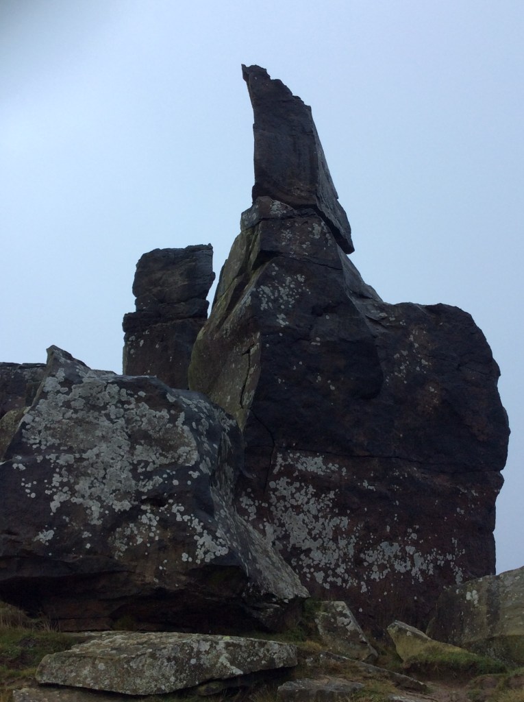
This standing stone appeared out of the mists (of time) and seemed mysterious. But the inscription below the cross of the Cross gave away its age. MM. A youngster.
This was a 15 mile walk today and the first 9 miles were over the Moors in the rain and cloud and wind. I was wet, and wanted to sit by a fire drinking hot chocolate. But when you’re Miles from Nowhere, thanks Cat, all you can do is walk. When the cloud lessened temporarily there wasn’t much to see anyway.

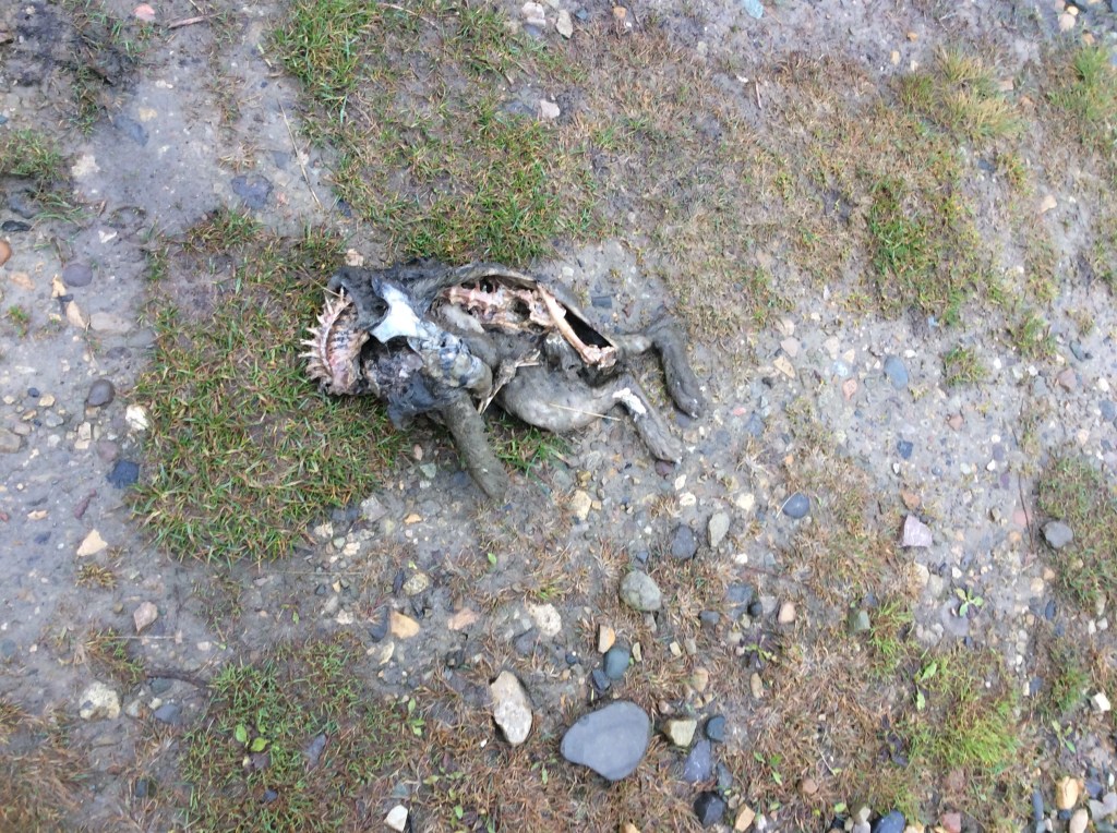
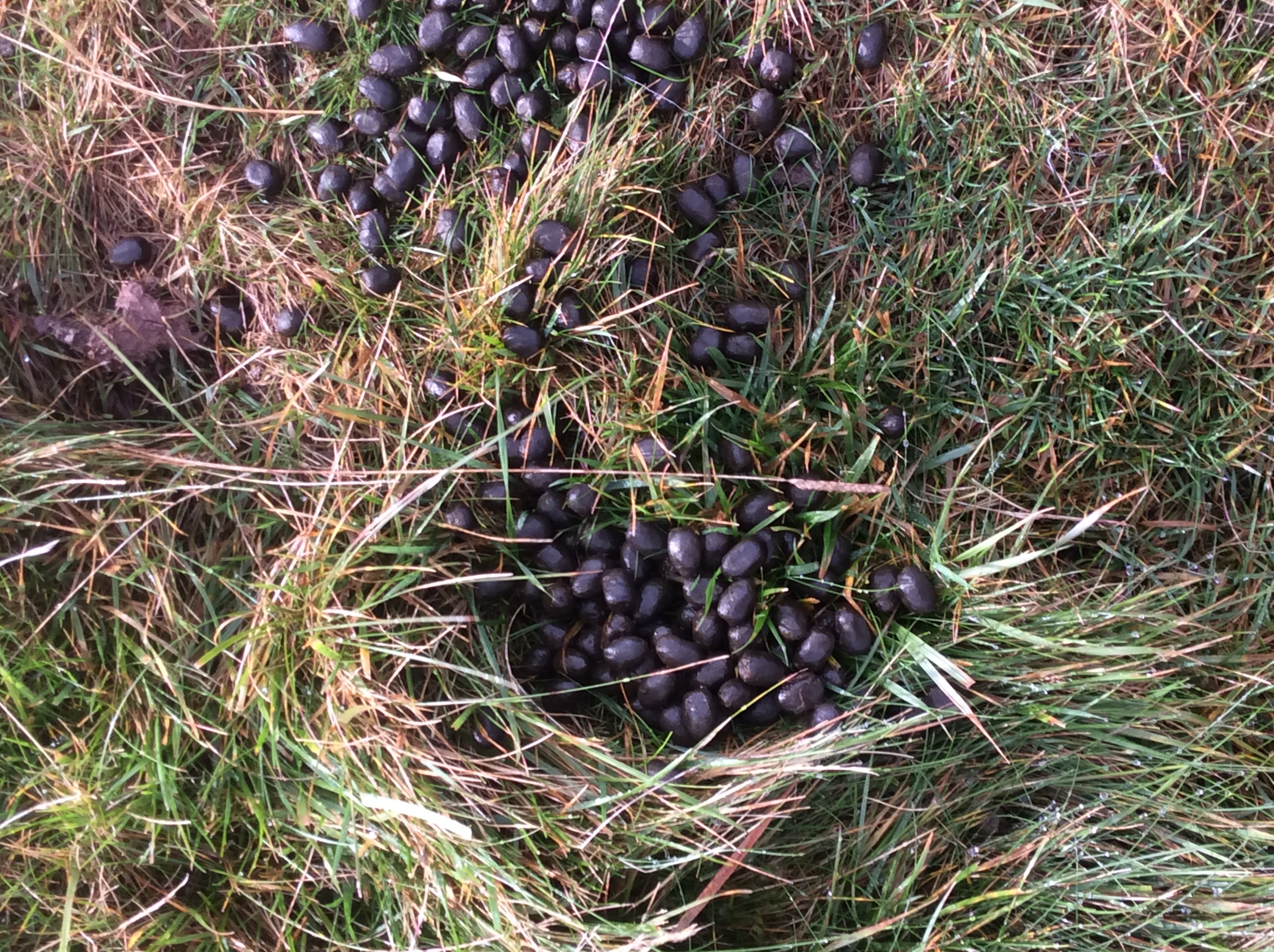
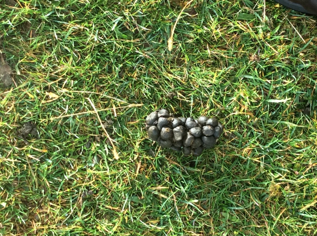
Oh look, a dead rabbit, said the old bloke desperate for photographic material. Or could it be an alien species?
Dropping down into the Esk valley I was so wet that I didn’t want to take my gloves off to take photos. When my hands are wet I can’t get them back on. Glaisdale was shut, but there was a covered entrance to the local pub and it gimme me shelter (thanks Mick/Keith) to get my kit in better shape, re-tie the twine and dry out for ten minutes or so. In the valleys it isn’t cold but it’s the rain that gets your clothes and kit.
It was a decent but damp walk down to Egmont, then on to Grosmont.
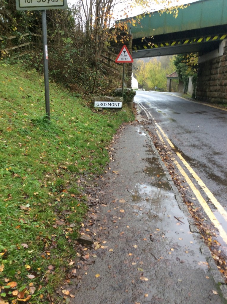
And what great timing had I? The steam train was in the village as I walked towards the station.
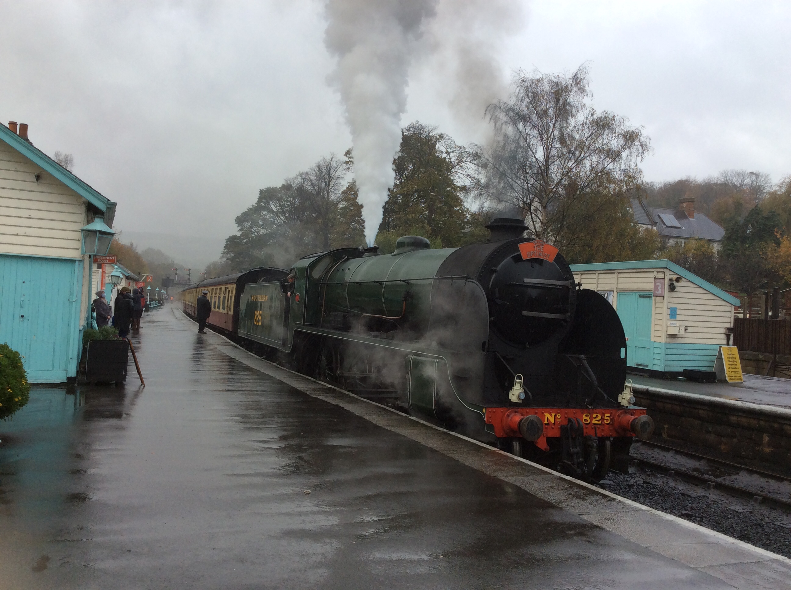
Even more magnificent, it set off.
Anyone who lived during the 50s and 60s would be hard hearted not to shed a tear and feel that lump in their throat at the passing by of this beautiful, evocative, historic yet present, representative of British greatness. Engineering greatness. Romantic greatness. I’m not jingoistic but I love a lot of what this great country has produced.
Including steak and ale pie and sticky toffee pudding, which I ate at the Inn that I was staying at tonight. To die for. But don’t believe the old lie: Dulce et decorum est pro patria mori. Just saying.
Night night.
Osmotherley to Blakey Ridge, the longest hike
The times I left the tent to pee were cold as midwinter and clear as a gateway to the Universe. Wow! All too soon the alarm went off at 5.45am. Jesus!
I packed the rucksack, bent double in my mini tent, and then dismantled the tent, after dragging it in the darkish early lightish to the campsite reception, where there was a dry surface to work on. When I was packed I had a cold tin of baked beans and half a litre of cold water for breakfast.
Setting off up the valley to join the Cleveland Way, which formed the bulk of the route today, the view over the back of the ridge, towards the north, was subdued in the early light.
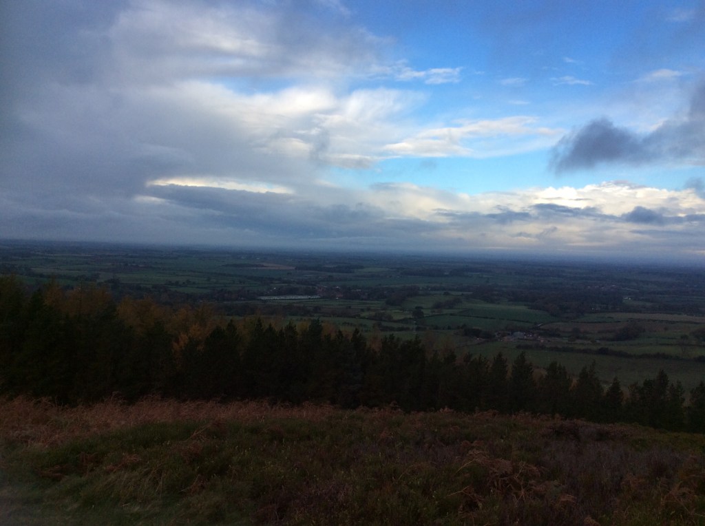
As I walked round the rollercoaster the light grew.
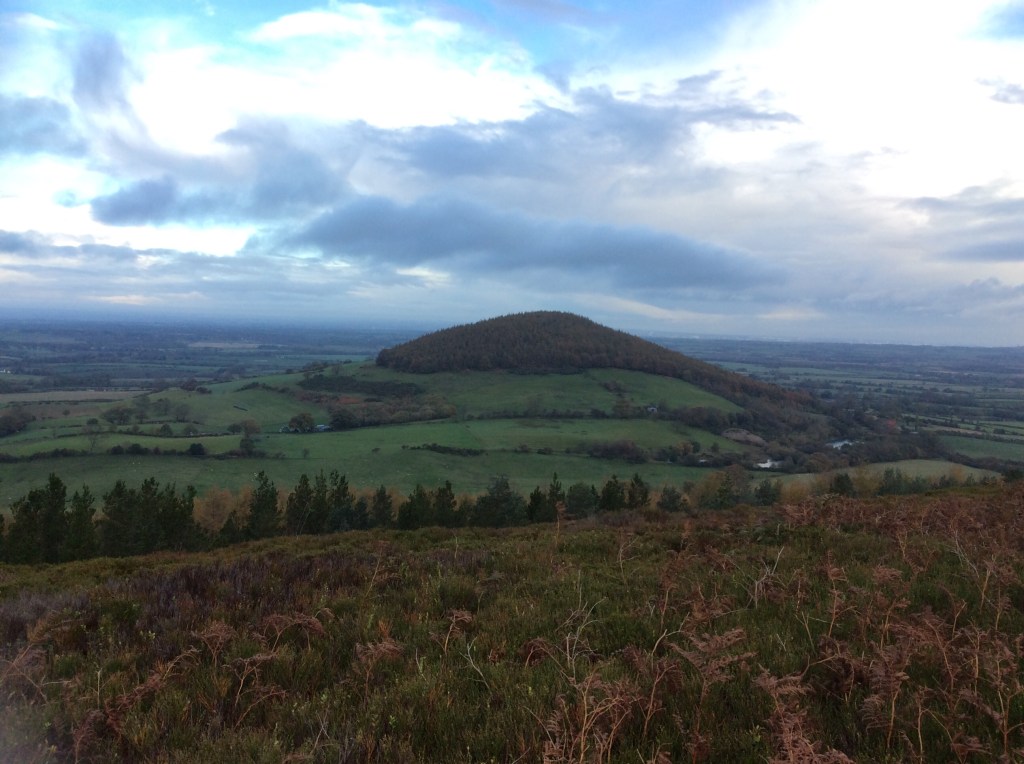
But so did the wind and, shortly followed by, the showers. The views were obliterated. Shame.
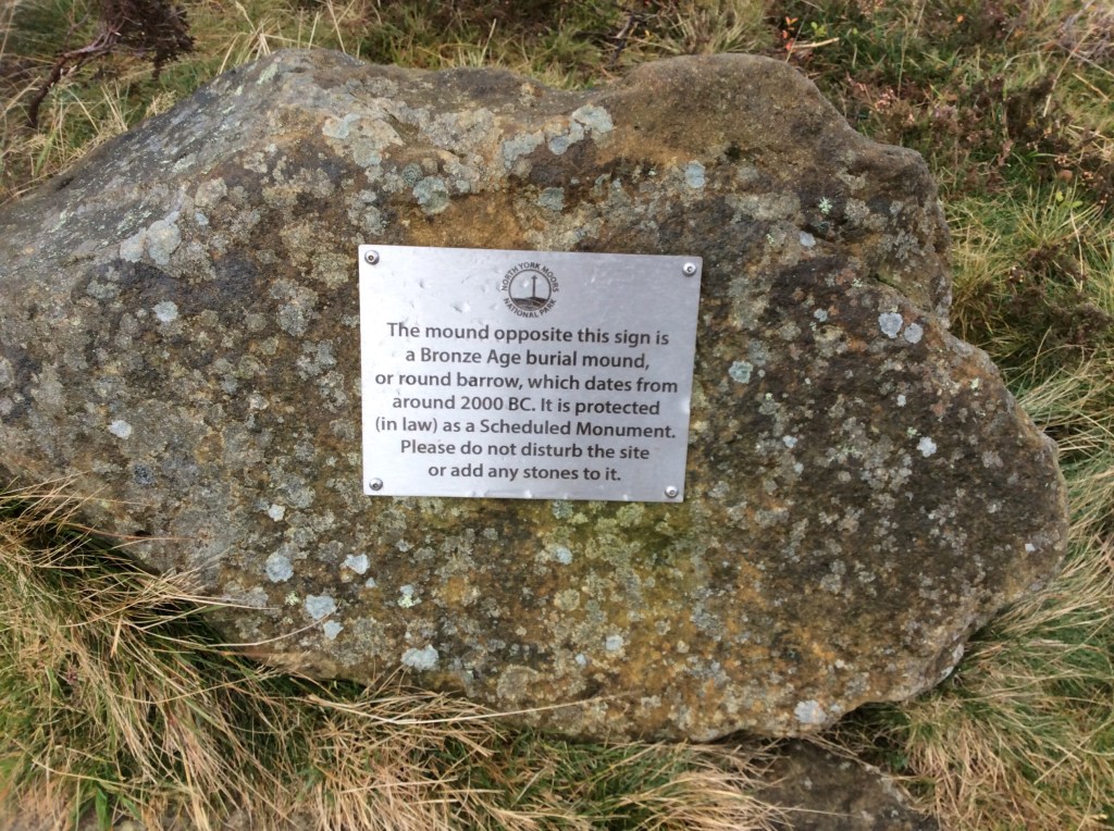
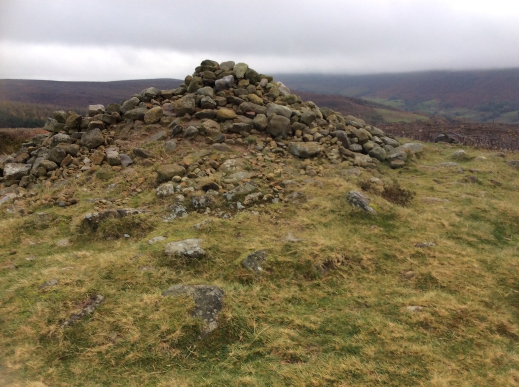
Historic country though, like most of the UK, peppered with ancient sites. We take them for granted but these are enormously significant. If one of our forefathers is buried under here we could add over 200 ‘greats’ to the grandad. Awe inspiring? You bet!
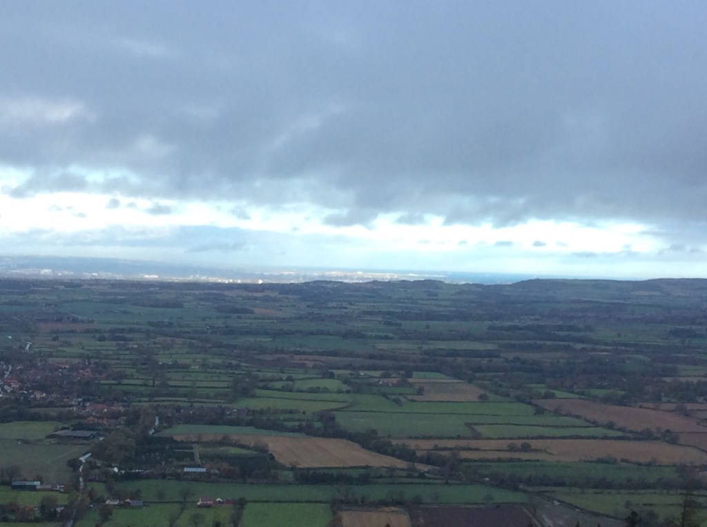
Over to the left, out towards the North Sea, the sun had been shining on Middlesbrough continuously for nearly an hour. What for? It’s still a craphole, rain or shine. Shine on me instead of this wind and rain, and the backstreets and the backstreets. Thanks Van.
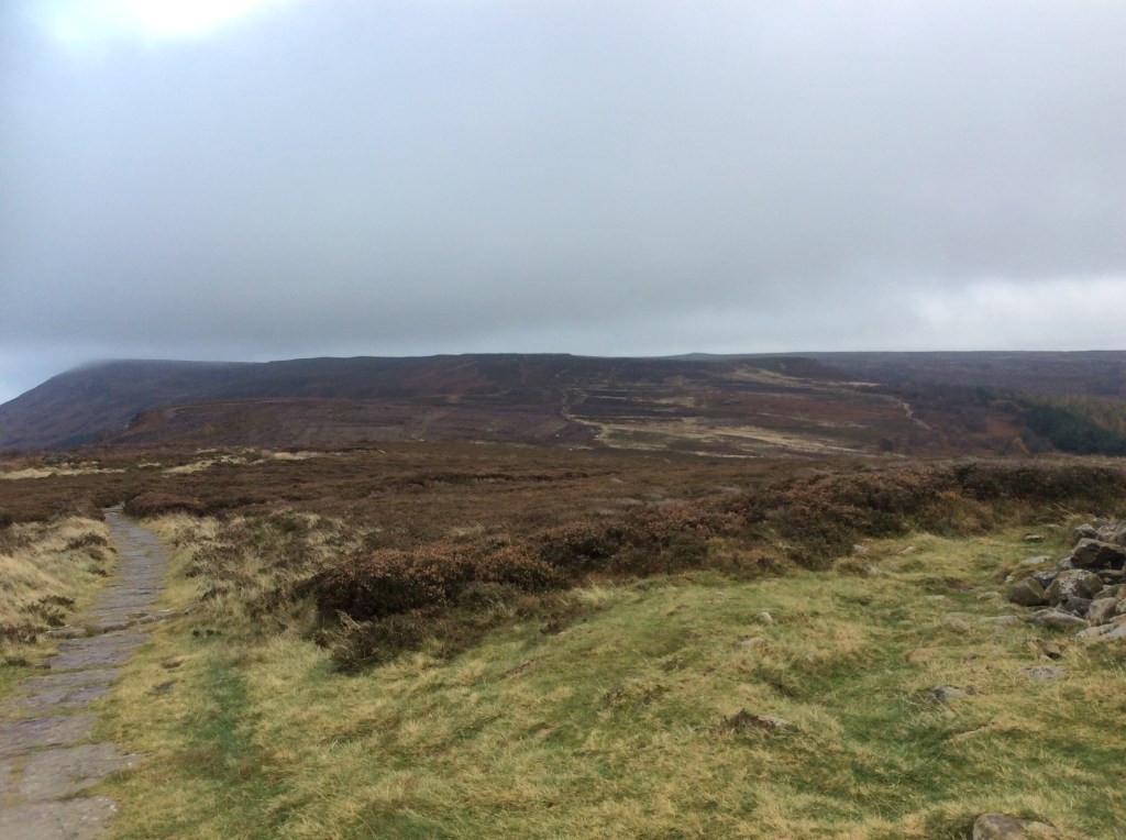
The sections of flat walking on top had become paved, like the Lakes and popular Dales hikes.
And just when it looked like the future was flat, a drop and a climb intervened! This is it, looking back to where I was half an hour ago.
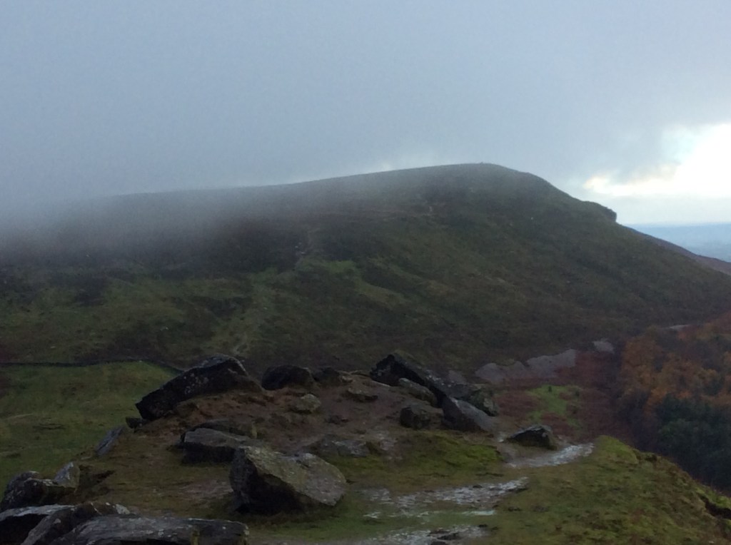
Finally the climb that culminated in rock faces for a number of real climbers, not scramblers like me, ended with an ongoing even walk into the Moors.
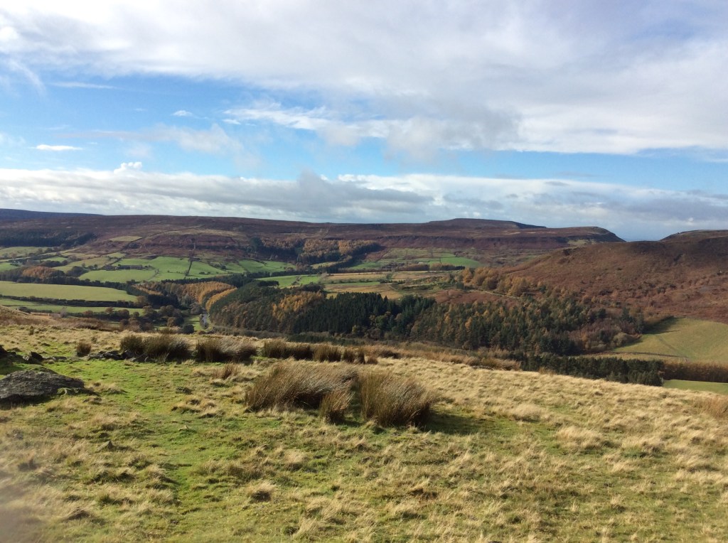
Looking back the hilltops to the right, which I’d stepped gingerly down and vigorously up, where bathed in sunlight.
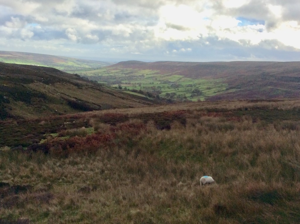
And up into the Moors the sun brought a bright and optimistic perspective. My pace quickened, but around 14.00pm hundred hours I was starting to flag.
And then, after another half hour of gritted teeth I saw the Lion Inn up on a hill. But I was so concentrating on getting there that I couldn’t loosen my grip on my walking poles to take a picture. Twenty miles from start to finish, 14 of them rising and falling. Persistently. (Word of the week).
And then at 15.15 I arrived. Had a bath for an hour, slept for a while then got an early dinner and went to bed. £30 bed and breakfast. Private bathroom. Result.
Night night.
Lovesome Hill to (Os)Motherley – a natural progression
Tomorrow is a long, long walk with not a lot of daylight, so I took my time today to complete the short 10 miles to save my legs, lungs and energy. Breakfast at the farm was nice and the first 8 miles of the walk were along the rest of the Vale of York. The last 2 miles were up the Yorkshire Moors and over to the campsite at Osmotherley. A brief taste of tomorrow.
For the moment it was a goodbye to Lovesome Hill. Bye.
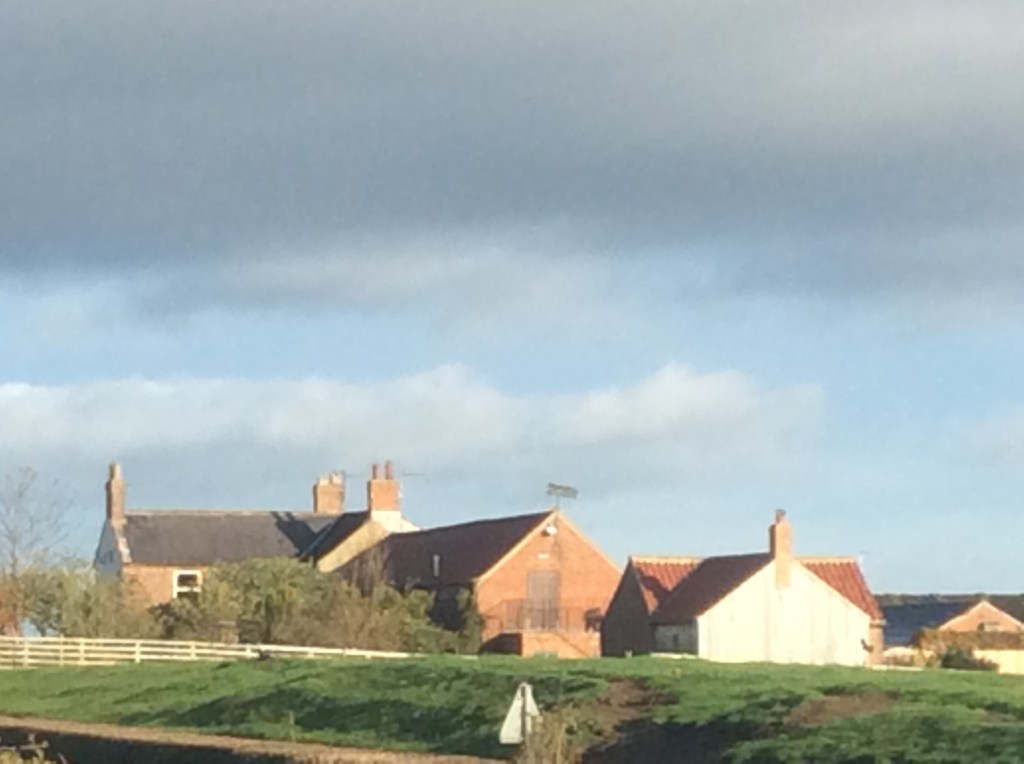
And the Sun was out, shining on the Moors that I would walk to today.
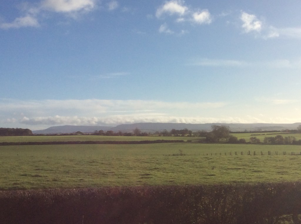
It looks like dry land but it int. It’s sodden, muddy and sodden muddy. Oh, I’m so clever with werds. This was flat farmland but it wasn’t a bad walk at all, if you like wading. And the sun stayed out for me, just mee, how lucky am I?
Some folk say ‘What do you think of when you’re walking Dave?’Well they don’t because nobody talks to me apart from my missus. Well, if any folk did ask that I’d answer, ‘I hope I get across before the next frickin train.’
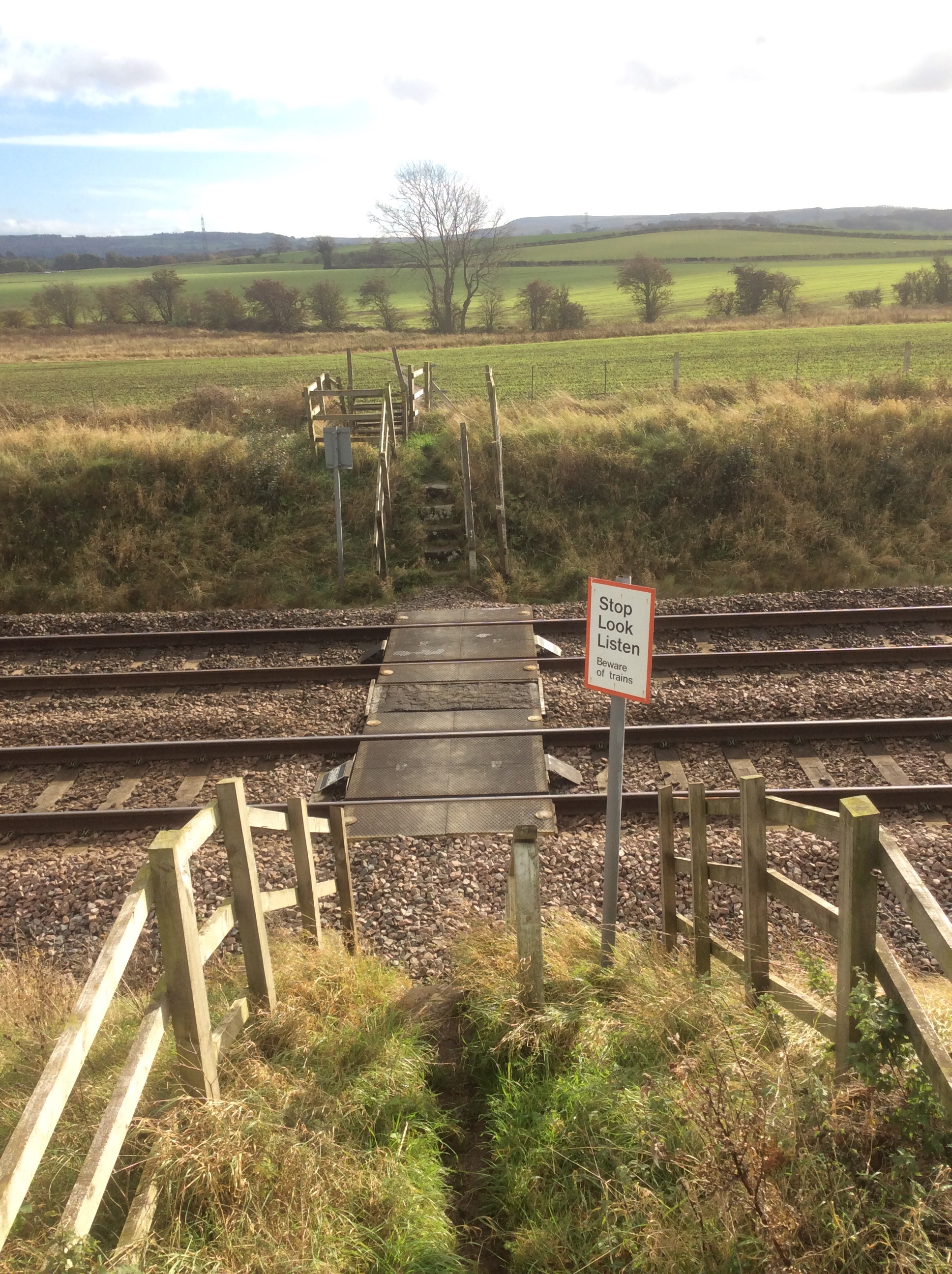
I did. That’s why I’m writing this. I looked back from the mini hill in the midi stance (there I go again 🤗 mit dem werds) . And with maximum telephoto I got a grainy shot of the hills in the Dales which I left two days ago.

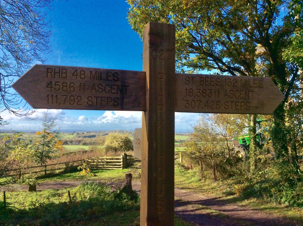
Starting to climb into theMoors was the first Coast to Coast way-sign that I’d seen with details of what was achieved and what needed to be achieved. My own details were a bit top heavier with distance and altitude as I’d climbed dem mountains in the Lakes and was walking on to Scarborough. Interesting though.
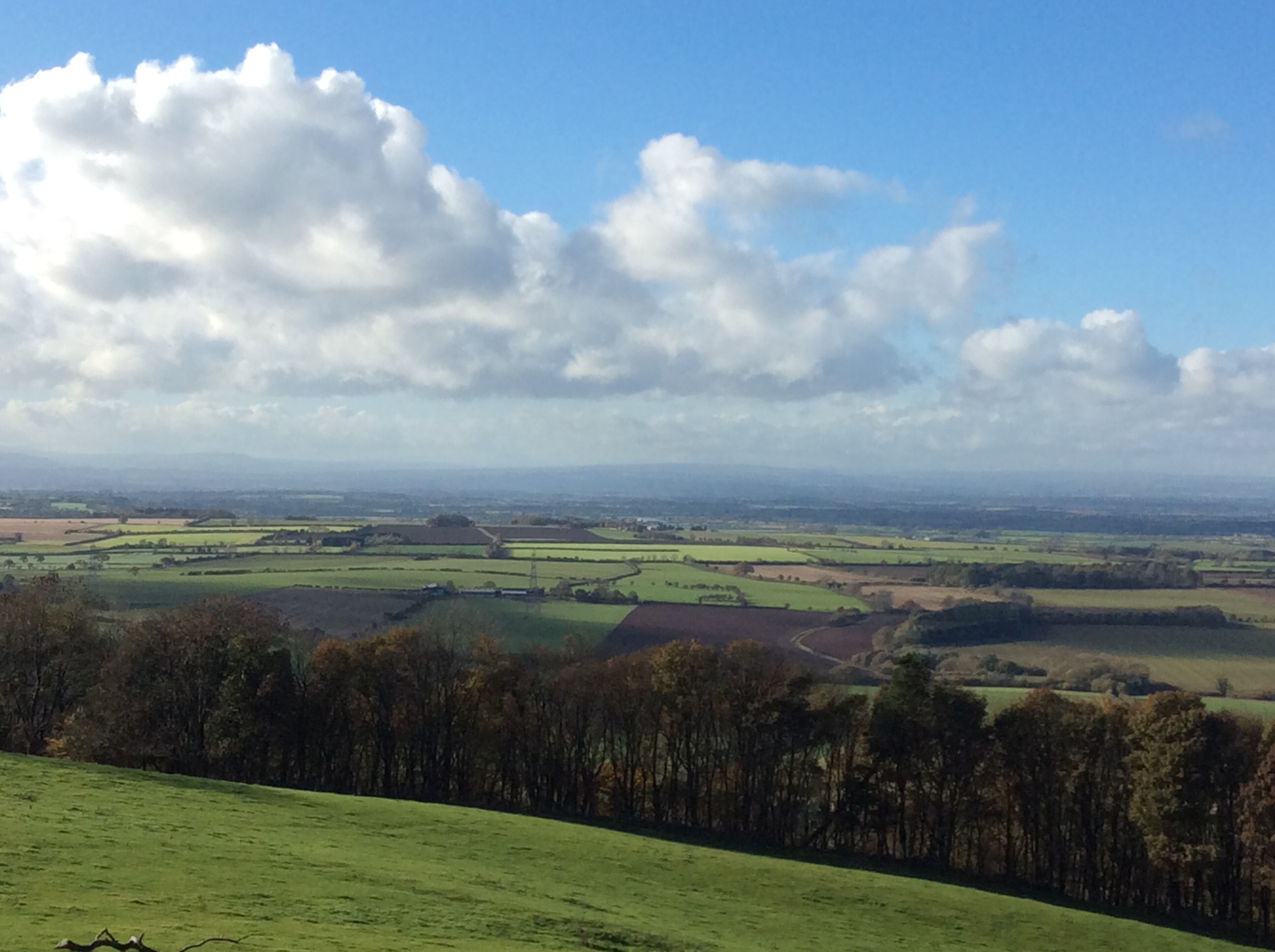
From the top of this low section of Moors the view was clearer back across to the distant Dales.
In Osmotherley I pitched my tent, in sodden grass, walked down to the village and had a jolly good beef roast. Returning to el tento I was in my sleeping bag by 6pm. The alarm was set for 5.45am. My sleep was broken by cold conditions, the need to pee, pain in my right knee and discomfort. Apart from that I slept well.
Night night.
Richmond to Lovesome Hill, and I’m not in Virginia.
This was going to be a relatively grim day. The Swale below Richmond empties out into the broad Vale of York, which isn’t spectacular like the Lakes and Dales. In fact some of it is just grey. Coupled with which the weather was a poor forecast, rain and rain. Oh well, 16 miles to achieve with my reduced rucksack. My sis took a fair amount of stuff home for me, spare clothes and things I hope I won’t need.
Yesterday in Richmond she had a chat with the local MP.
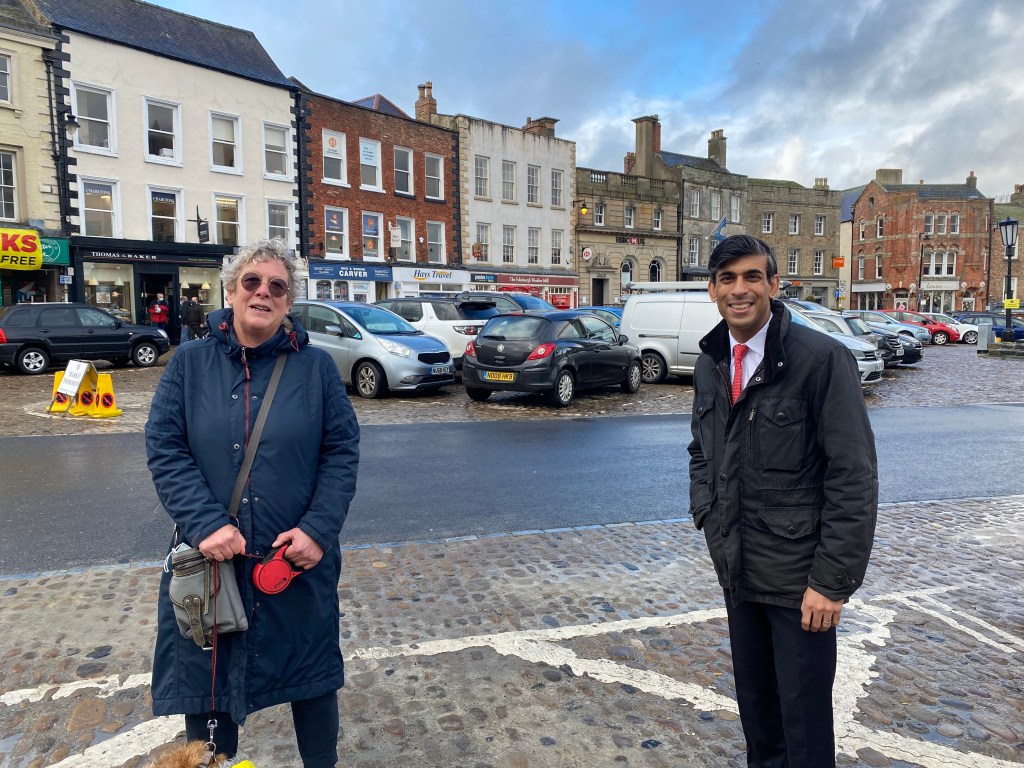
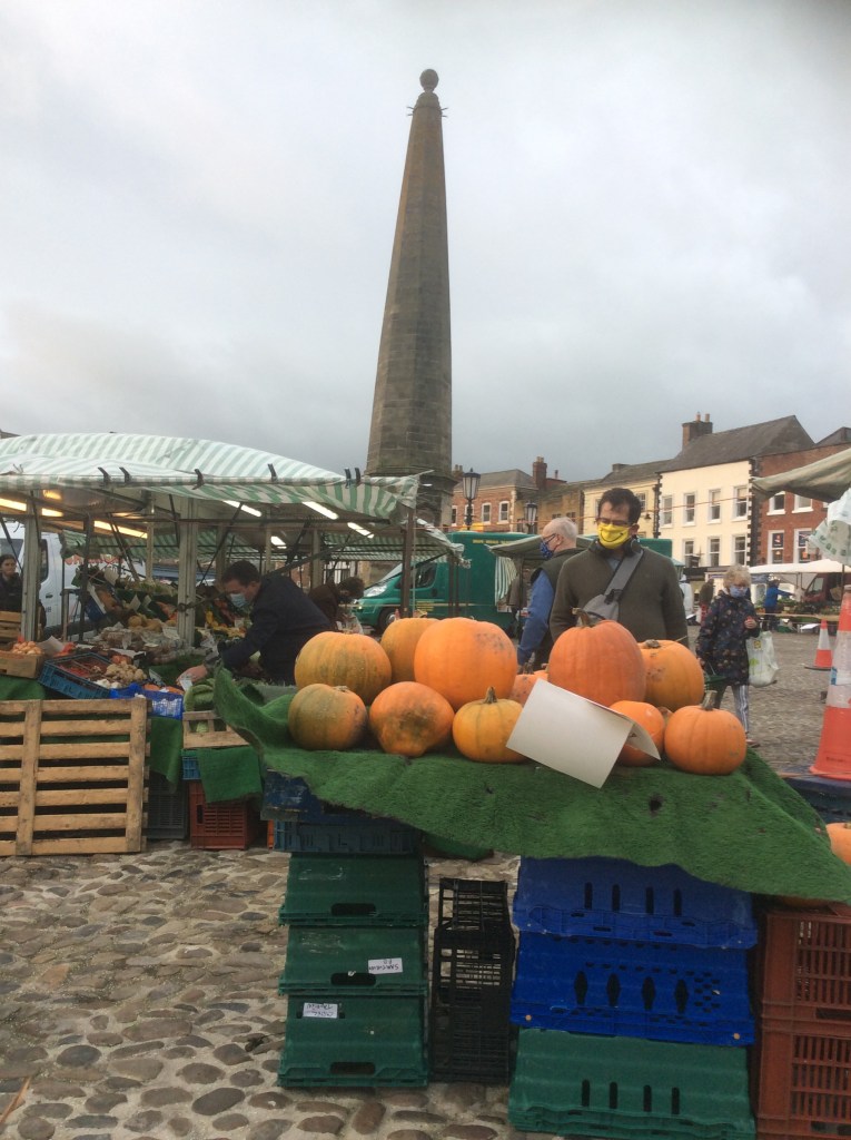
Richmond itself is great. A decent, farming focused, well to do, not up itself, Yorkshire town.
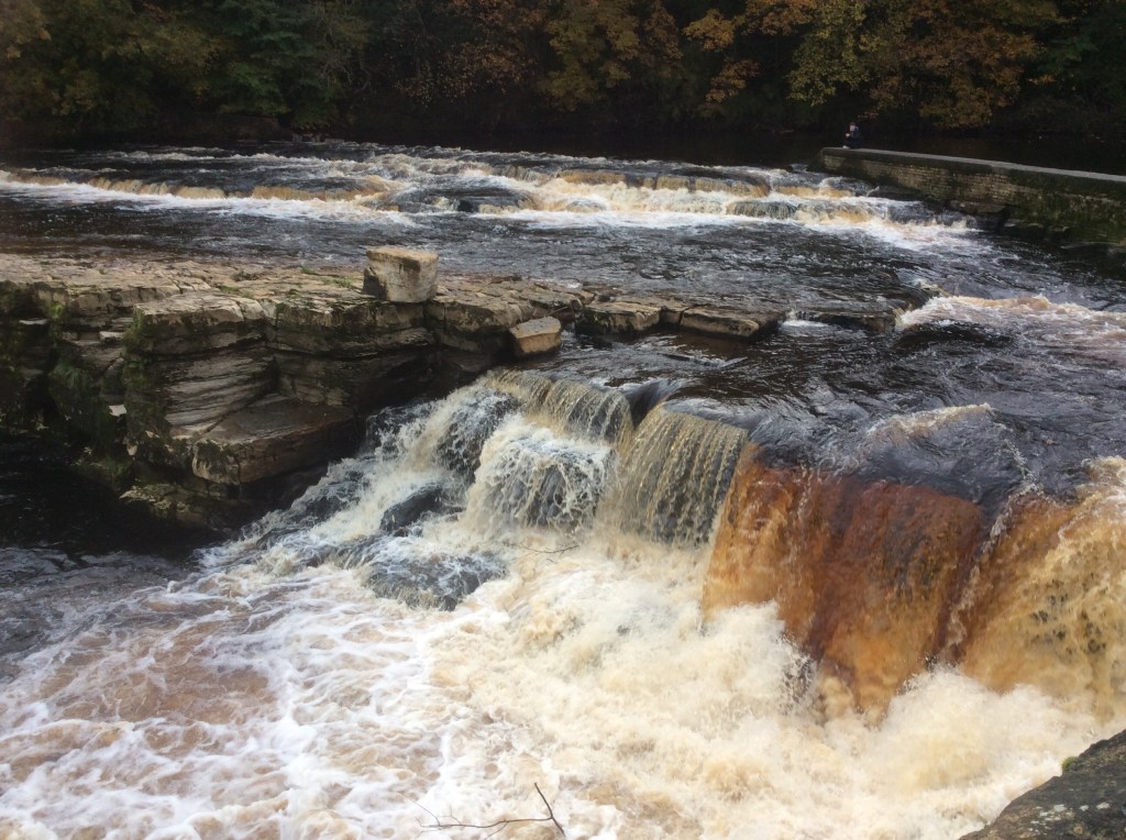
With a peat coloured river rolling through the valley.
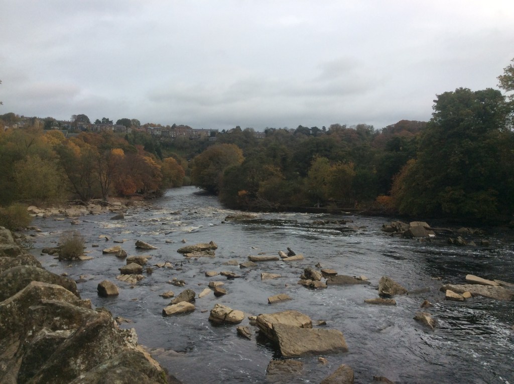
And rolling out into the plain below.
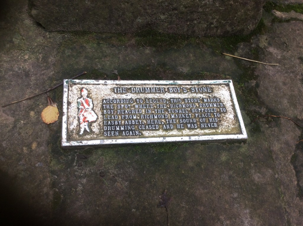
Walking down by the riverside I came across this unusual plaque, which intrigued me. The Richmond drummer boy.
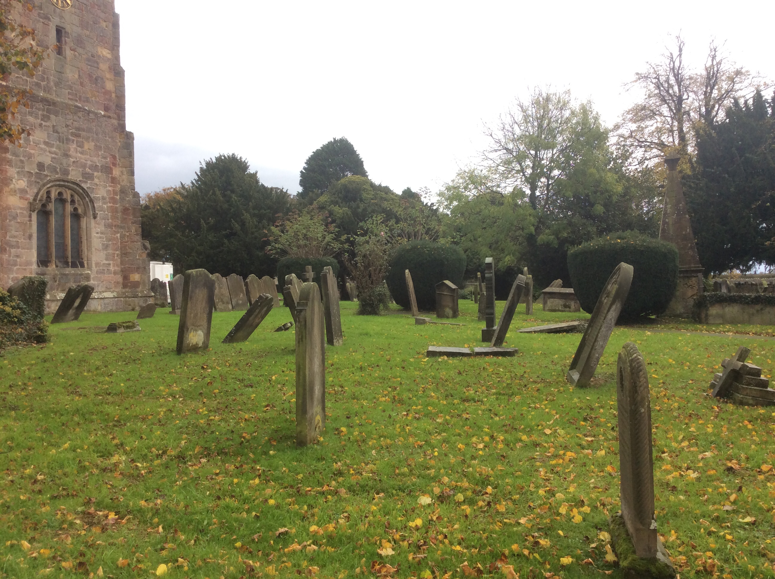
Moving on, the dead further down the valley at Bolton on Swale were rocking it.
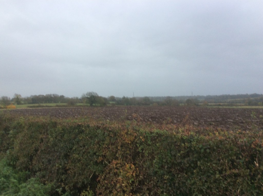
I was meandering slowly as the owners of the Lovesome Hill Farm B&B were out and not back until 18.00. But I left it late to pick up speed and the weather was getting worse. The photo below sums up this afternoon. Wet farmland with no distinguishing features.
In the end I was wading through muddy fields and rainy country lanes right up until 18.00, with the light fading and my shorts, socks and boots sodden. The superglue was working a treat but this water came over the top, for which there is no protection.
All in I’ve walked 152 miles, and something like 70 to go. It’s fun. Come on – even when it’s raining I love it. Tomorrow the forecast is good. And I’m camping again. Hooray! Until then……
Night night.
Gunnerside to Richmond – Last Day Unladen
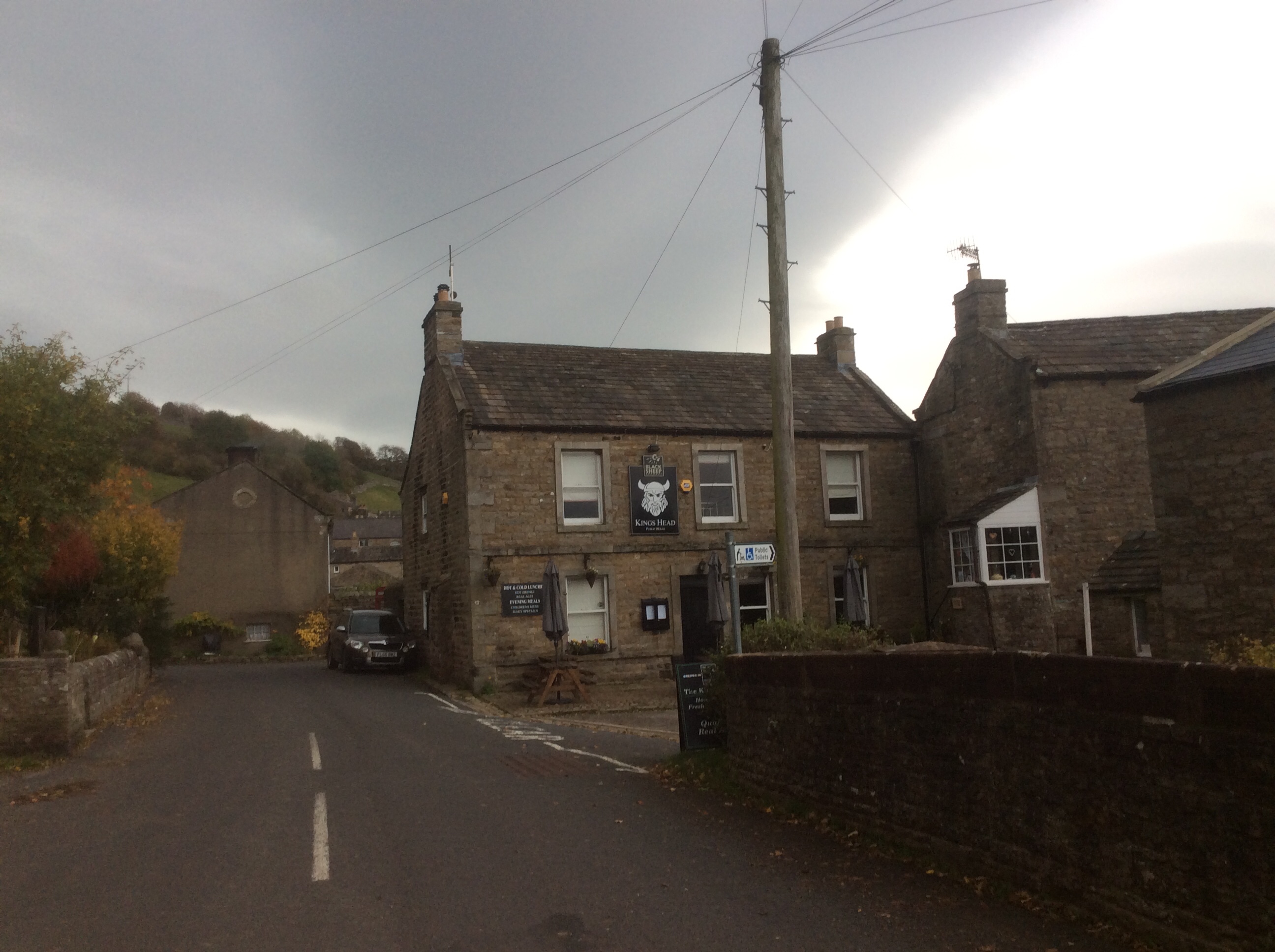
Bloody sister cooked me breakfast, washed up, gave me a lift to Gunnerside, drove back to pack the tent away, hung around for the day and drove down to Richmond to drop off my rucksack when I arrived there. She failed, failed I tell you, to give me a packed lunch or iron my socks. Bloody sister. Where can I get another one? This one is brock. Doesn’t it have a 65 year guarantee? She dropped me off at the pub where I met her yesterday afternoon.
Luckily there were public toilets in the village and I had 20p. I needed a poo after the previous night’s fantastic Indian. There was a light on the inside of the door saying ‘Press to Lock’. I had already sat down, and dropped my shorts and undergarments, and was beginning to engage with the task when I saw the light. Well….not a revelation, just the light saying ‘Press to Lock’. This meant the door wasn’t locked.
It’s uncomfortable when you’re in a public khazi, knowing the door isn’t locked. Worse, I couldn’t reach the light to press it without getting up and walking across. What might happen? But to compound it the light also said ‘Press to Unlock’. What if I got up, waddled to the door, pressed the light (with the sound of a metallic clunk), finished off and pressed the light again…..but it wouldn’t unlock! It was a quiet backwater, the toilet I mean, not an obscure part of my lower anatomy. What if it didn’t open now? Panicked I rushed to finish and pulled at the door. It opened, joy of joys! Freedom! Now I know how Mandela felt.

This was a long run down the Swale valley, along tracks higher up the valley side, paths down the bankside and a few road sections.

The weather cleared, then clouds gathered and it rained a bit more, then it brightened a bit. But it wasn’t cold, despite the breeze, and for the time of year I had, over the last 11 days, been very lucky. The Lakes and North Yorkshire are not the Atacama Desert, where average annual rainfall is 0.04 inches. But these two weeks have been good for October.
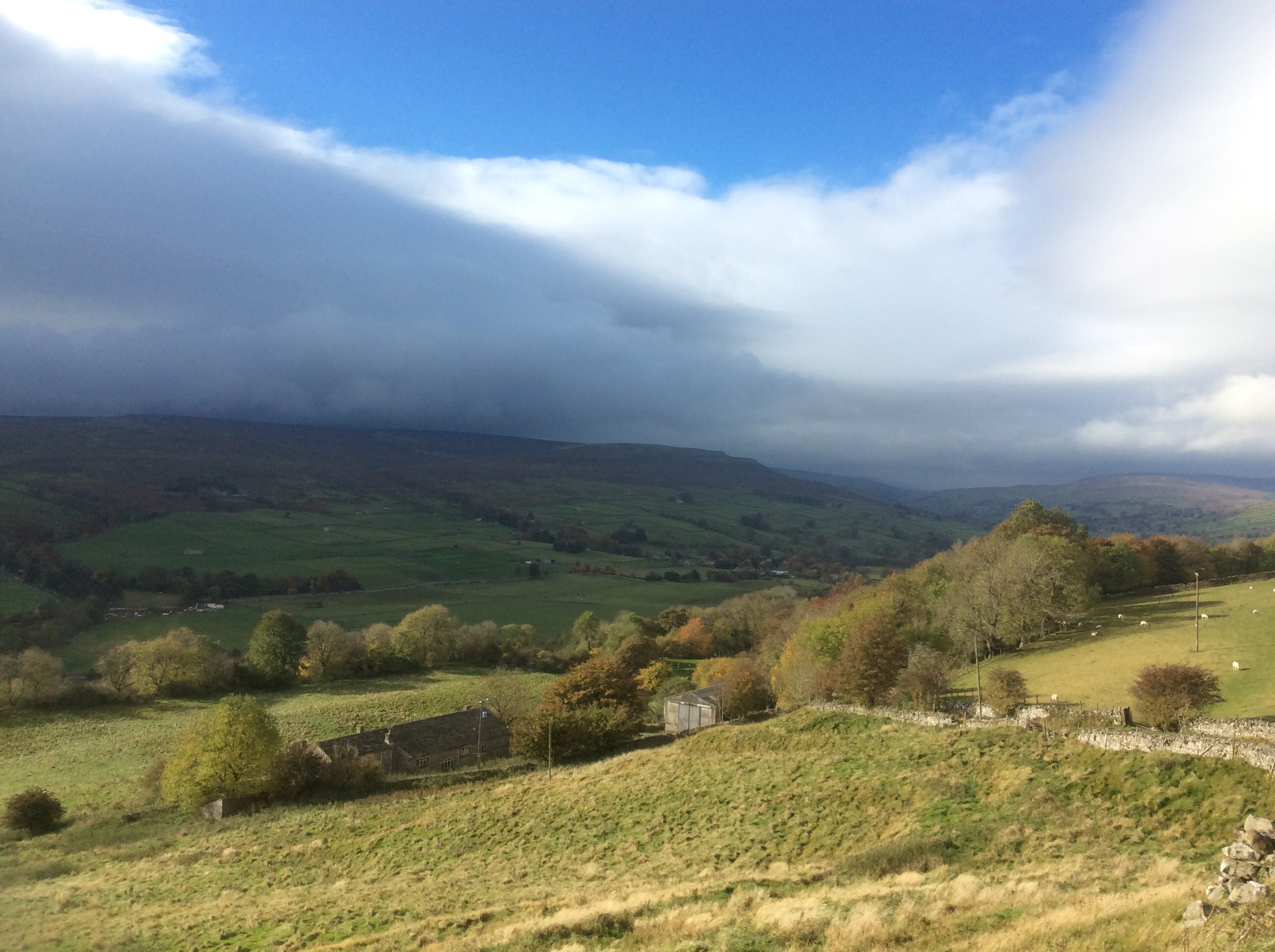
I was making very good time. 16 miles today was the total and I was eating them up.
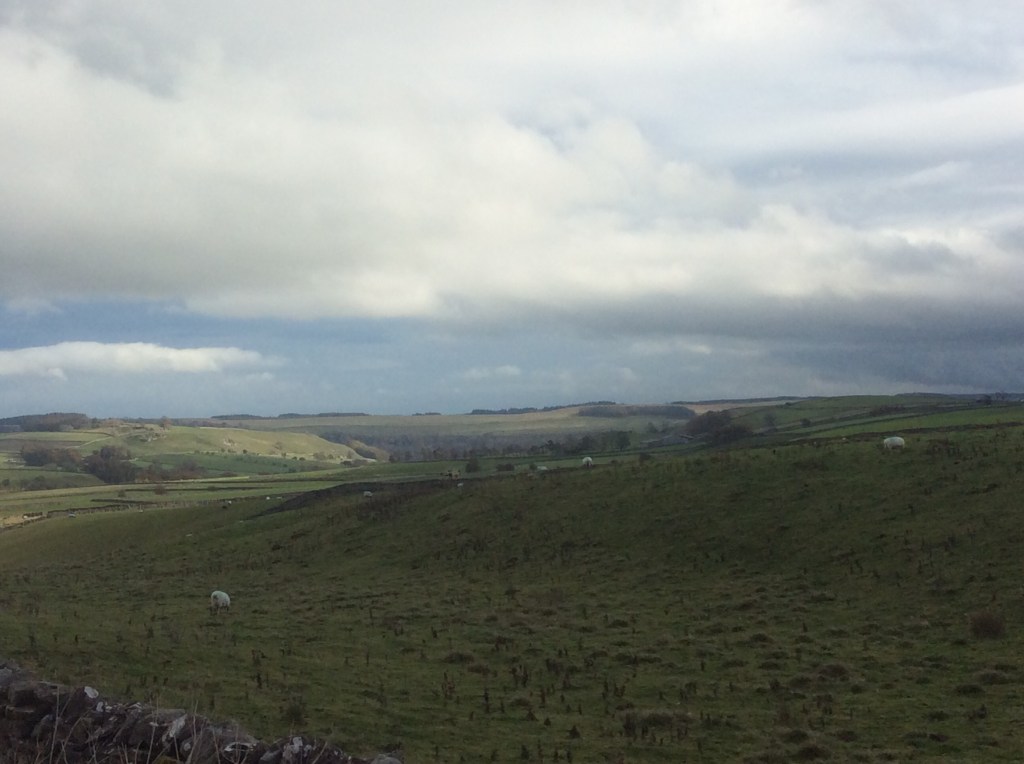
Reeth was a nice village, with a decent cheese van, so I bought some Wensleydale Blue for my sis. And some for me, obviously. Up and over the top of the valley side this time, down into Marske. A farmer on a quad bike herded sheep up the lane past me as I was weighing up whether to take the hill road or the valley side path into Richmond. He knew what I was thinking.
‘Are you looking for the Coast to Coast?’ ‘Nay’ I answered, for that is the way folk converse up here. ‘Nay, I’m wondering whether to go up the hill road or down the valley path. The paths so far have been awfully boggy and slippy.’ He let out an involuntary guffaw at my namby pamby nature.
‘Road’s an awful lot longer’ he added. ‘Right, I’m off down the path then,’ I concluded. He smiled, waved an adios and drove after the sheep. Happy in the knowledge that he’d helped to clear an impasse.
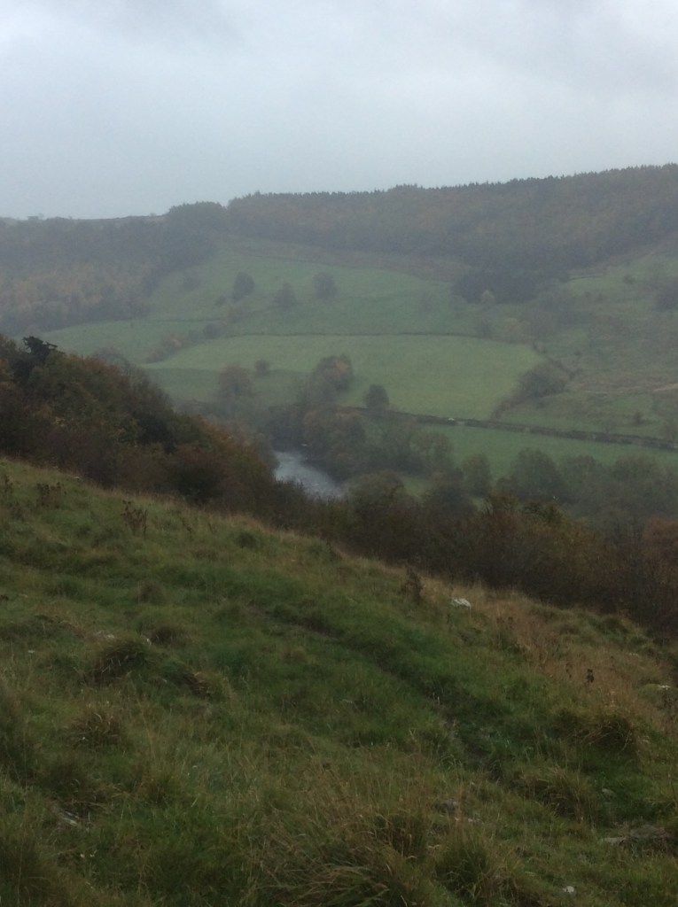
Rain incoming again. Hood up.

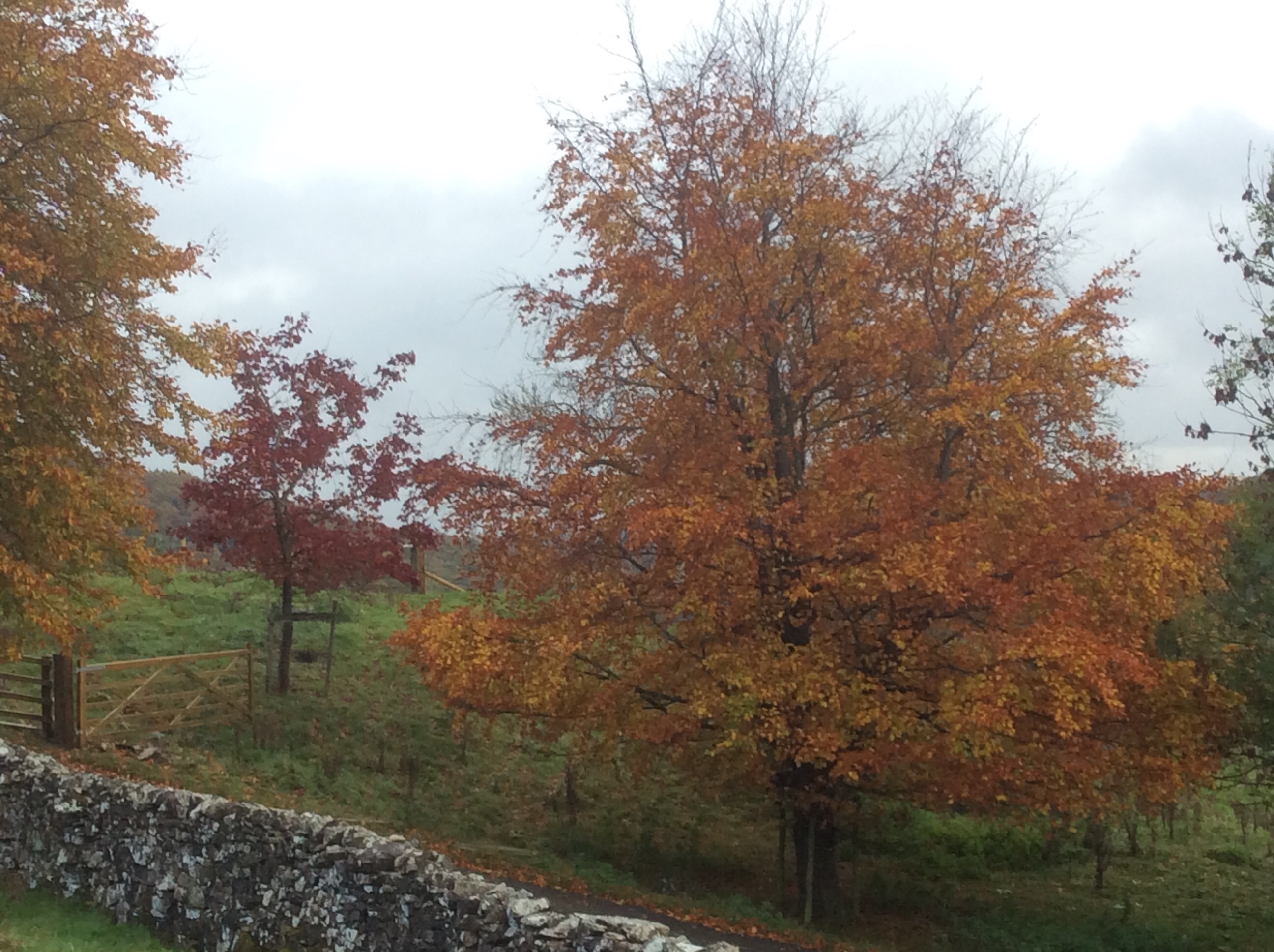
The colours were delightful, really delightful.
And finally Richmond sneaked up the valley towards me.
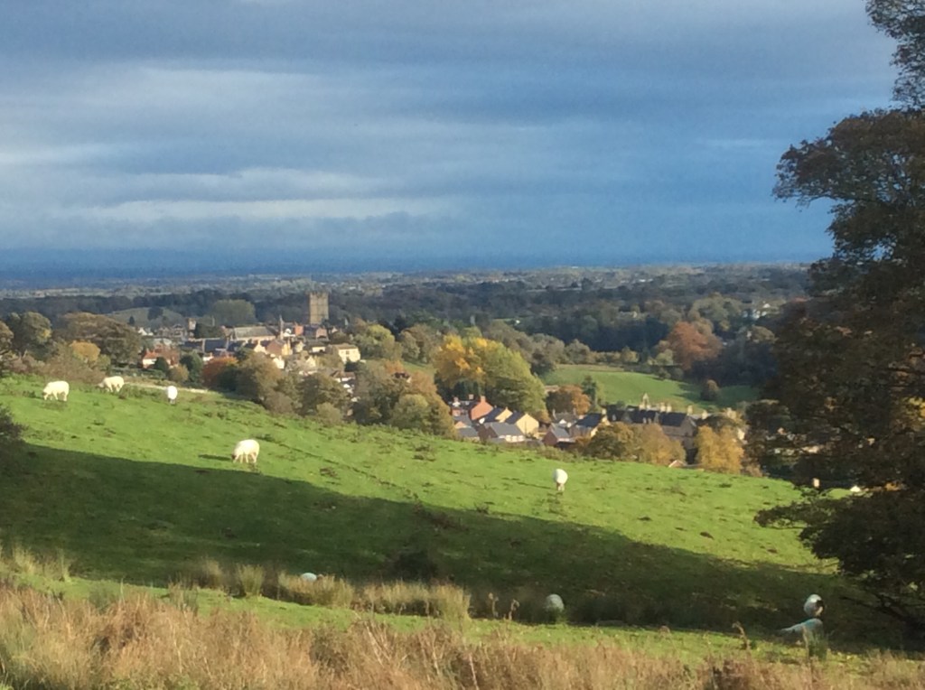
My sis was there and handed over my rucksack. I didn’t check if she had taken any money from the inside pocket. Well, not then, but I checked later. No point in souring the atmosphere if I found that she hadn’t nicked owt. She hadn’t. Could of, but didn’t.
Richmond is a nice town. And across the darkened Vale of York I could see the North Yorkshire Moors. The last leg of this journey. But fish and chips eaten from the paper and a warm hotel room come first.

Night night.
Kirkby Stephen to Gunnerside – a Yomp!
My sis put up her tent, heated it up, cooked dinner, washed up and cooked breakfast. I ate in it, slept in it and ate in it. Then I left my rucksack in it for a long unencumbered day yomping. It was dry when I set off but there was intermittent rain throughout the day. Perhaps the driest place was here.

Wainwright was here.
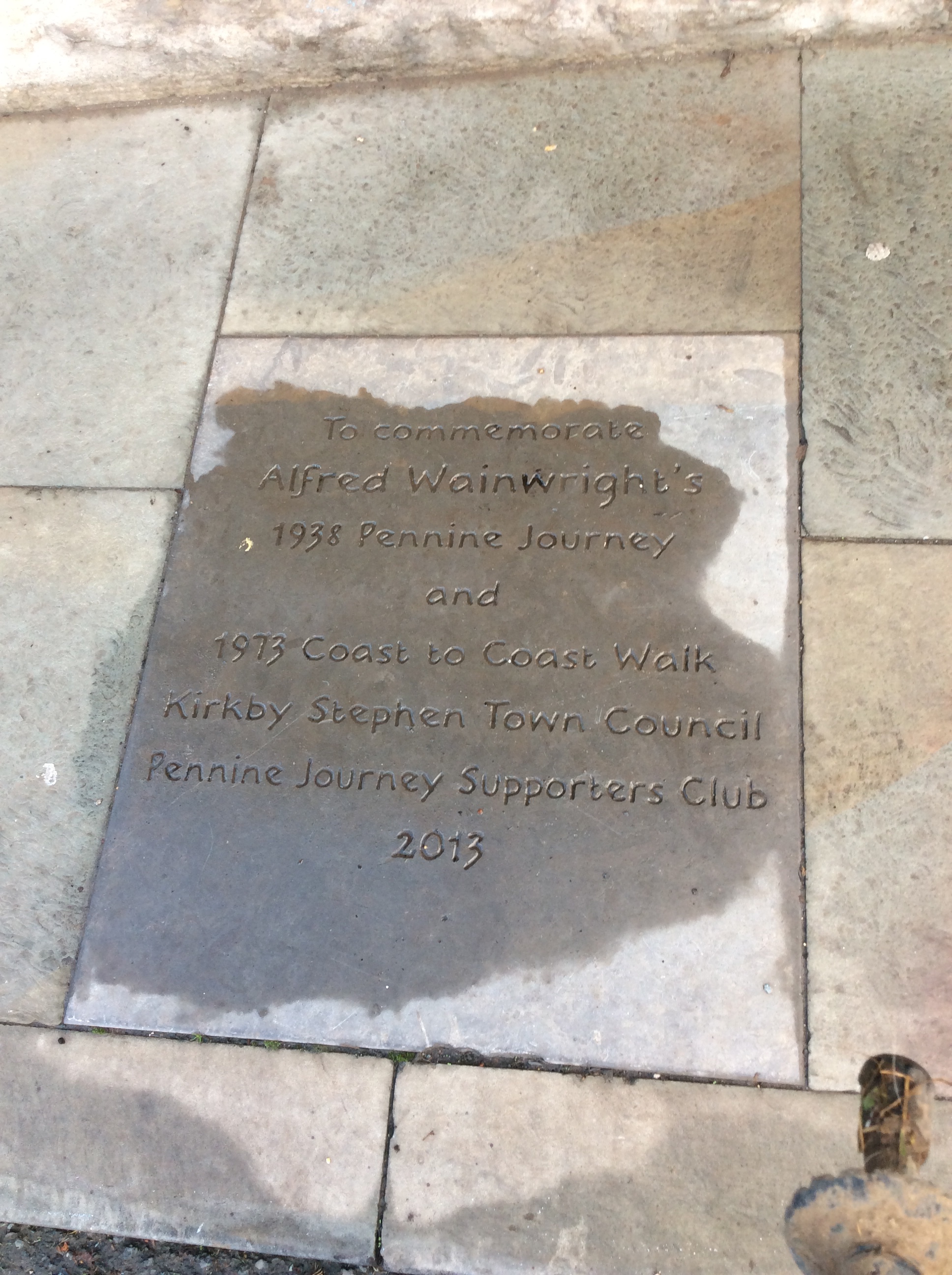
Turning right (southwards towards Yorkshire) the river running past town was great.
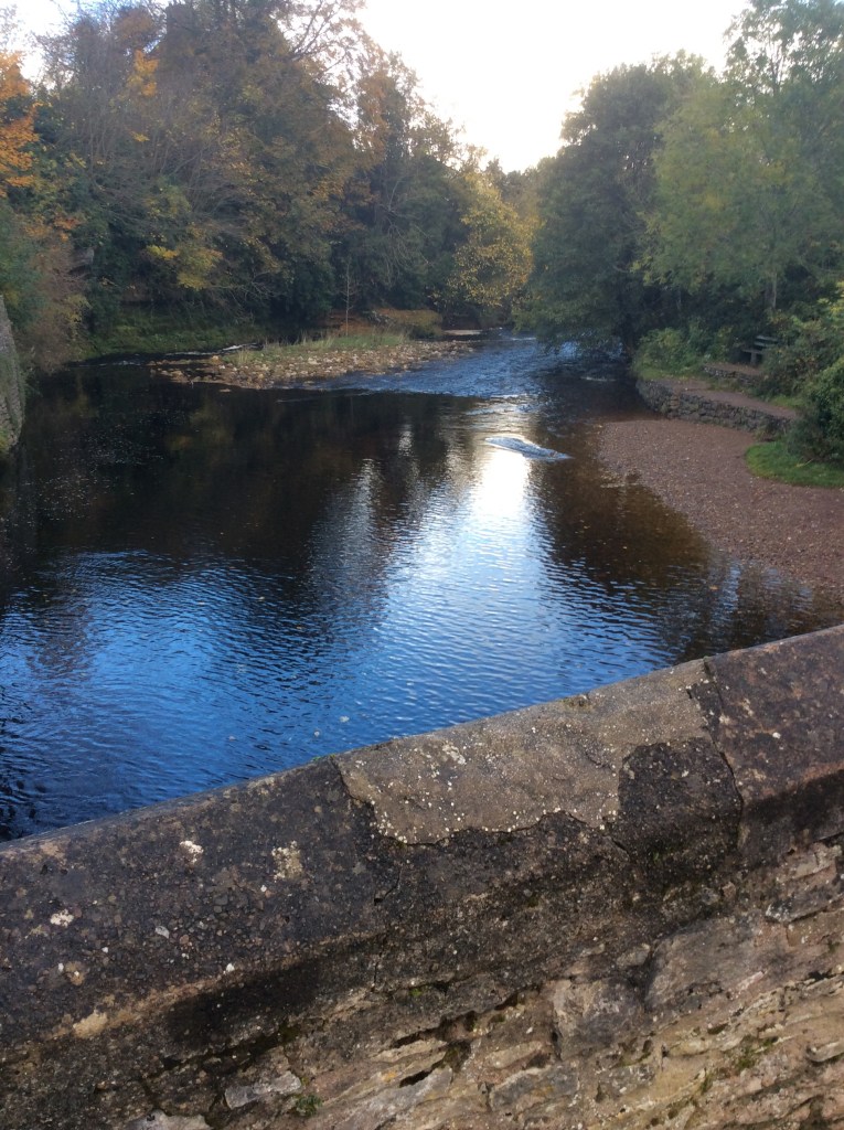
The track then climbs steeply up, to over two thousand feet, with thickening cloud. Halfway up was an old wooden seat, like something out of Lord of the Rings. With clouded, but still impressive views.
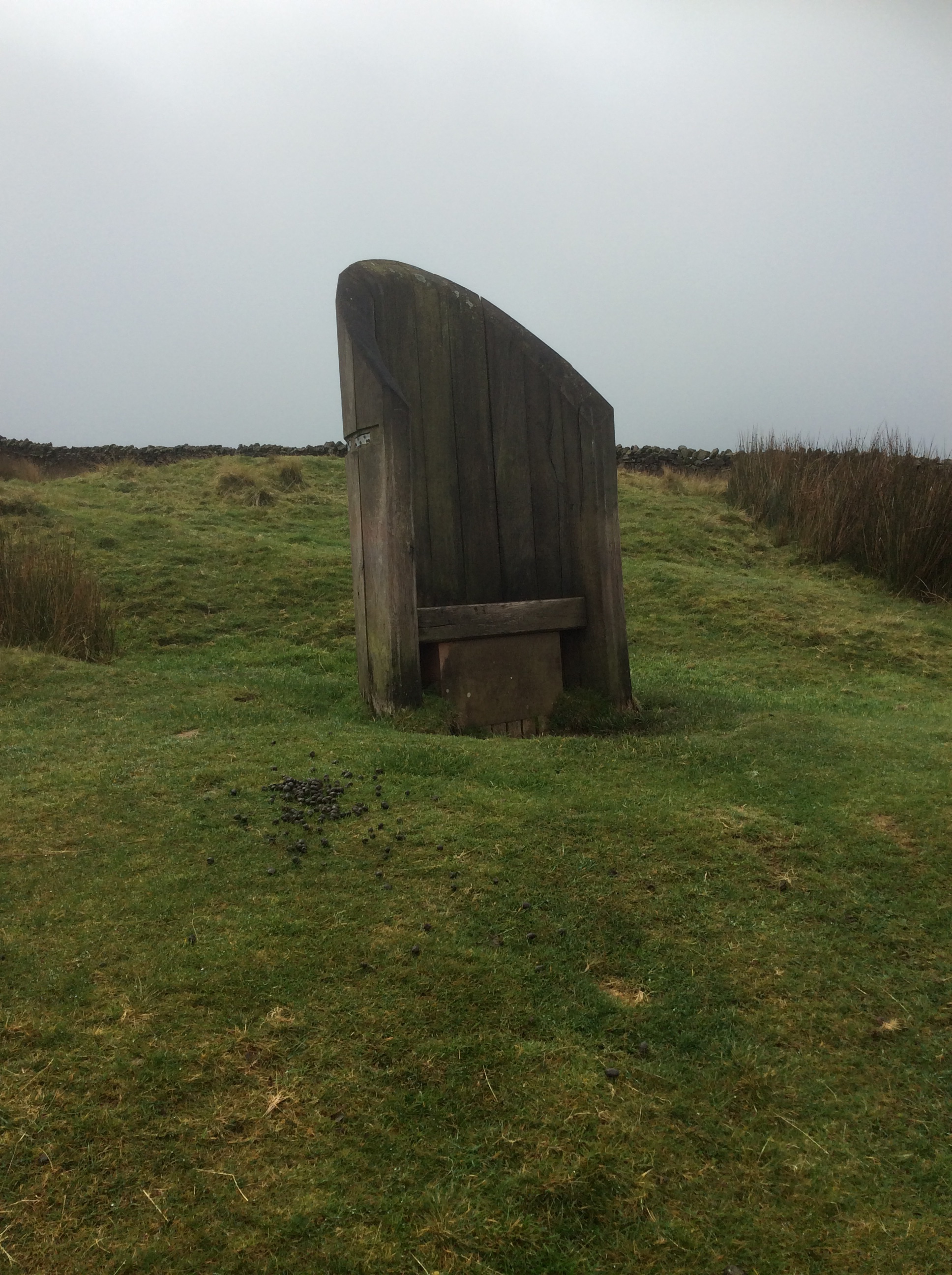
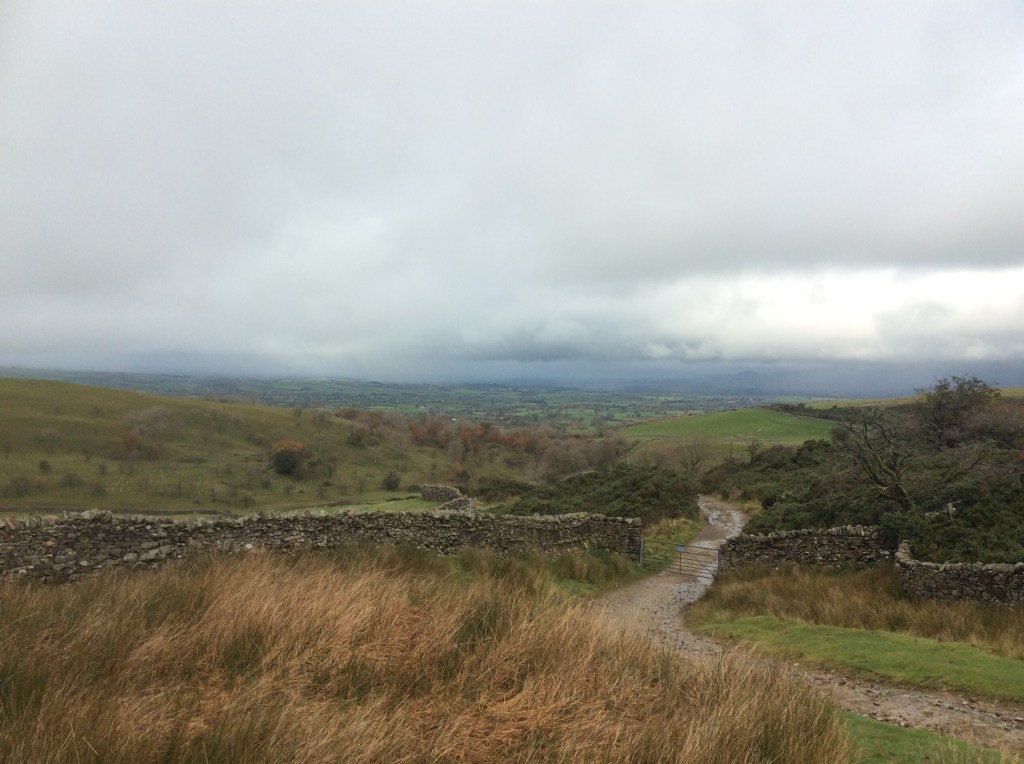
Higher up there was a stone throne. This definitely looks like where Frodo sat on the seat of seeing on Amon Hen, gazing towards Mordor.

But the seat of seeing wasn’t seeing much.
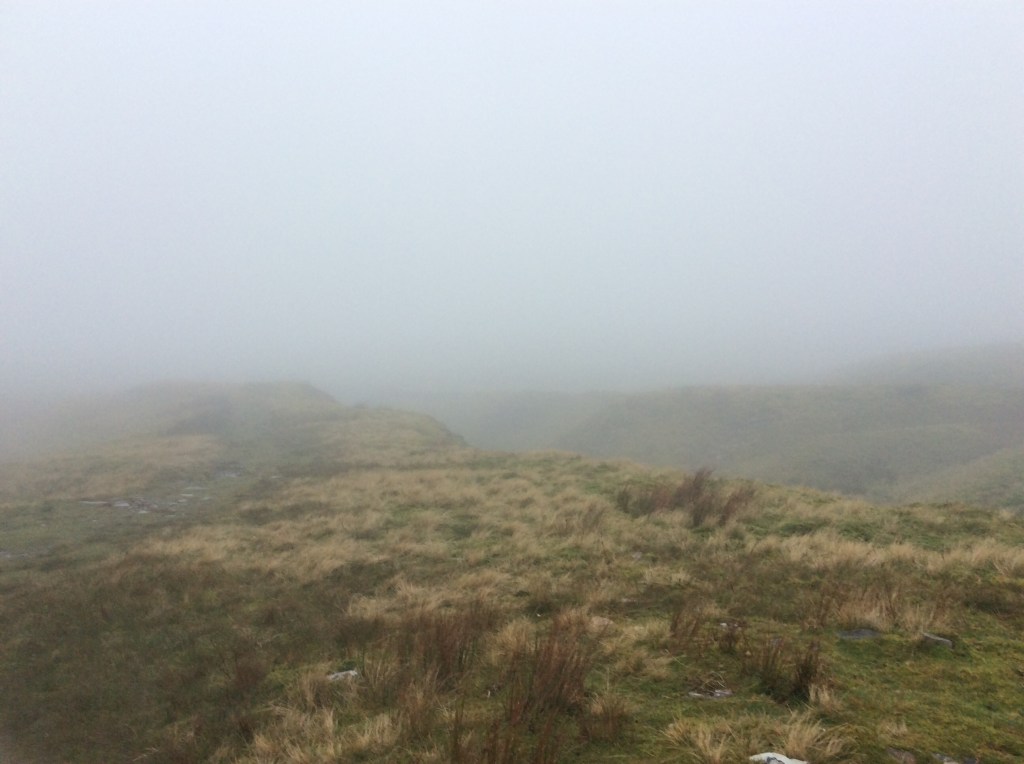
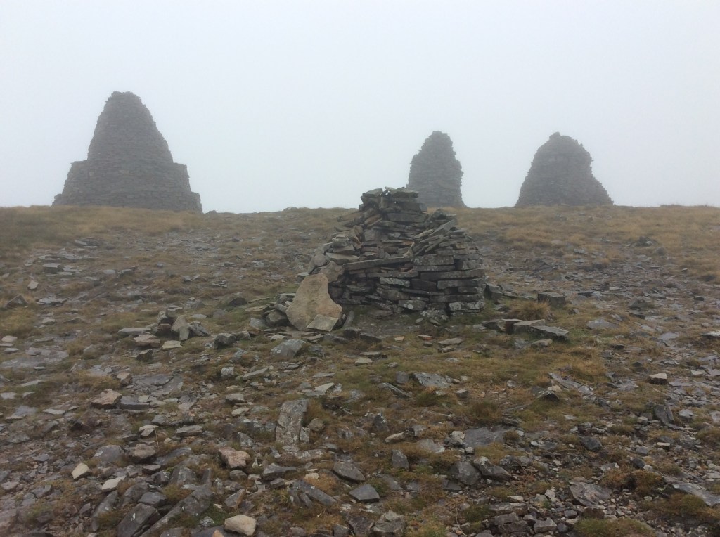
It was all beginning to feel a little weird when these huge cairns appeared out of the clouds.
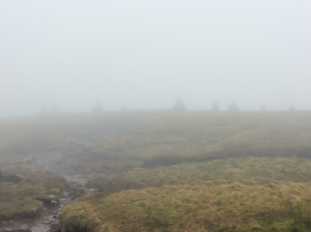
And this was the highest seat of seeing of the three. But it’s brock.
The ground got decidedly boggy from here, often taking five minutes to cross a small stream, digging walking poles into deep mud and retracing steps to find drier ground. Luckily someone had knocked wooden stakes deep into the ground every 50 yards to mark the way, as any path had been erased by the bogs. Finally, after a couple of hours and a slip in the mud, I made it down towards the valley floor, as the sky cleared.

It was still intermittent deep bogland, but not as deep, and a path was mostly visible.
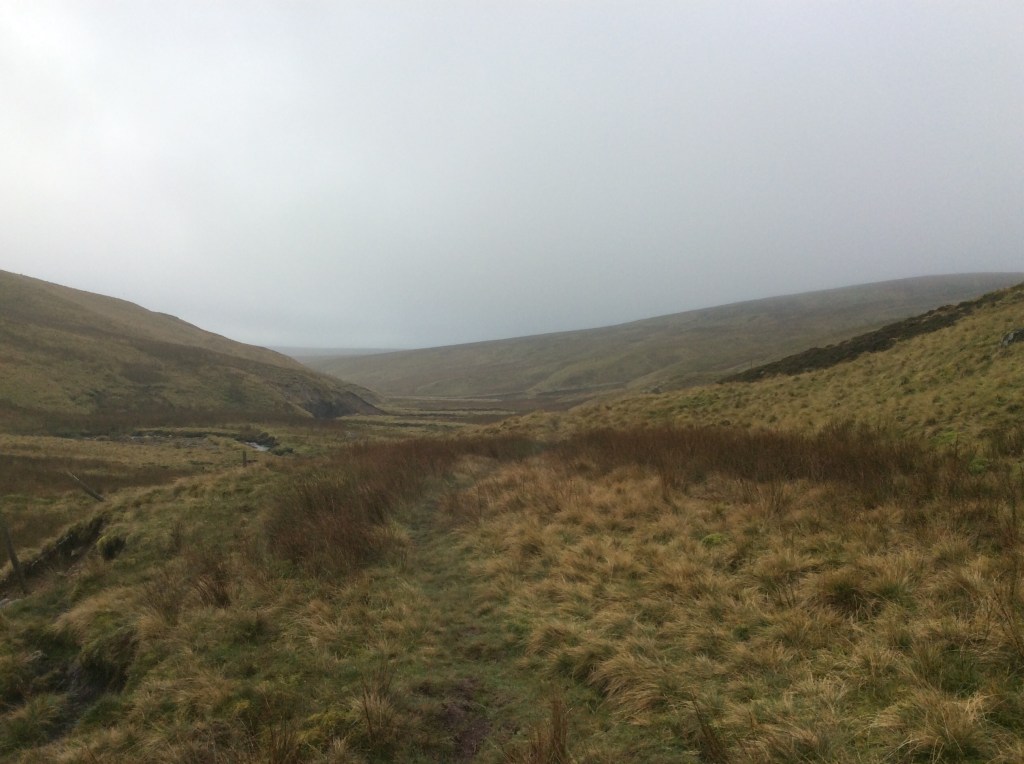
A few miles short of Keld was a farmhouse with a tarmac track leading up to it. Looking at my map, if I followed the track round and down to Keld, instead of following the footpath through bogland, it would only add on another mile. Done!
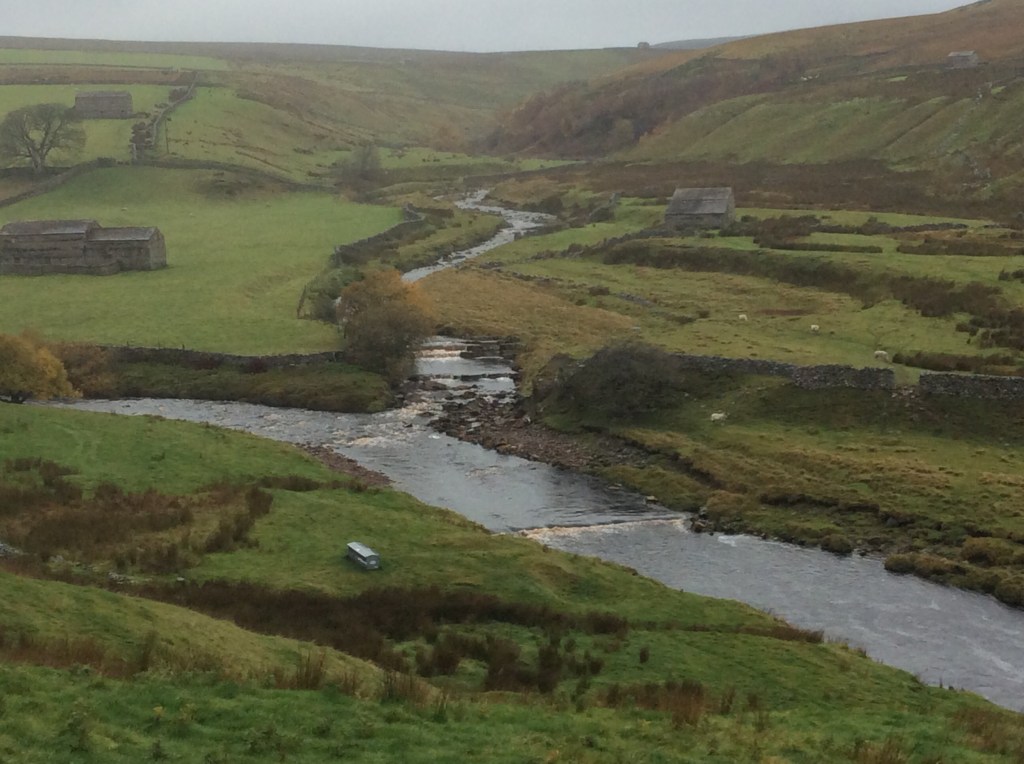
I made great time on the solid surface and was soon around the road to the bottom of Whitsun Dale where the Beck I had followed flowed into the Swale.
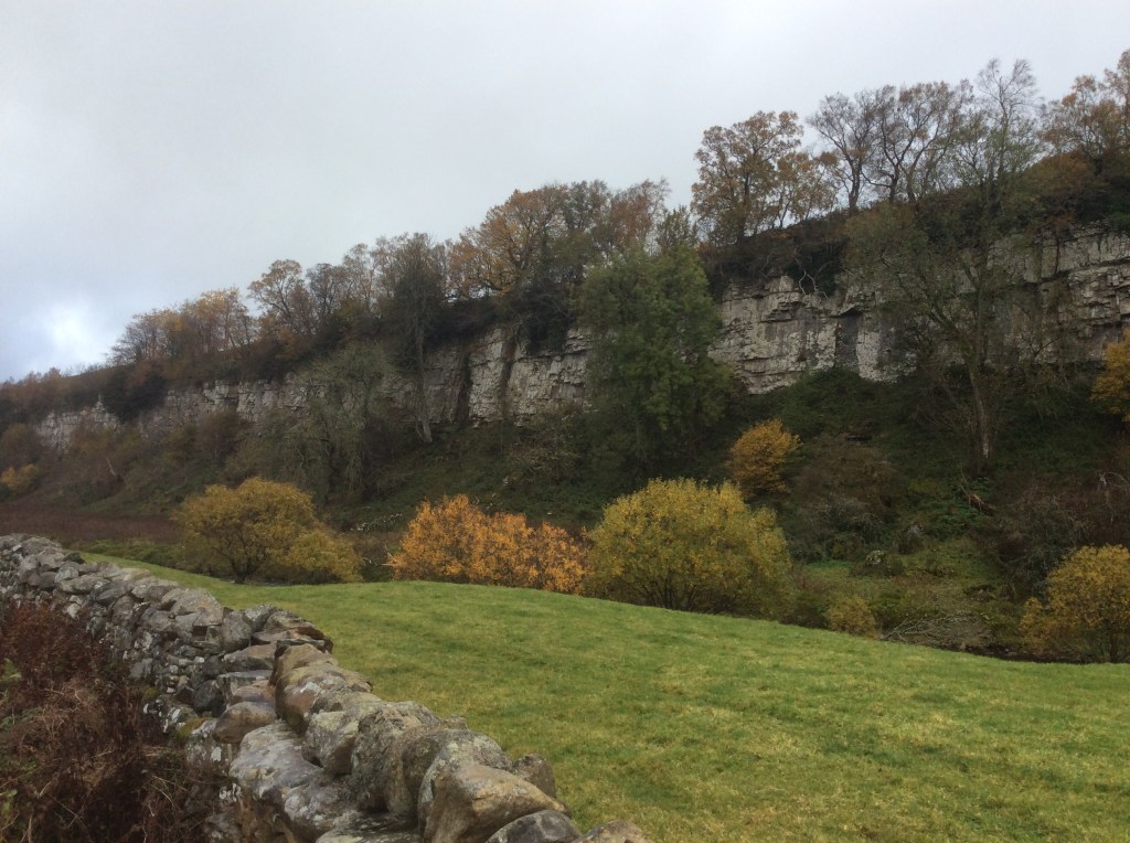
And below that were some decent limestone cliffs.
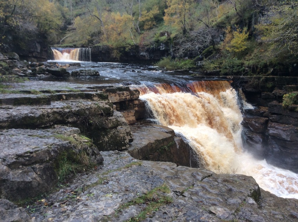
Passing through Keld the valley gets very steep and, with the aid of a knotted rope that someone has installed, I scrambled down for this view. Awesome!
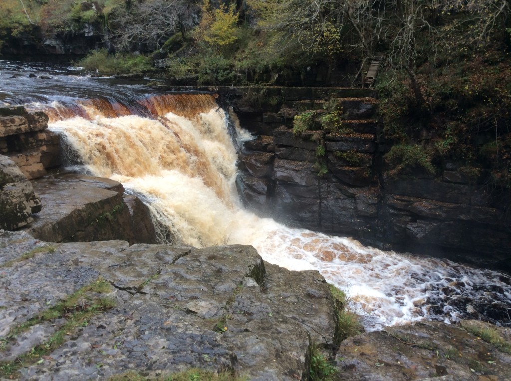
Now it was a five mile slog at the tired end of the day, down the valley to Gunnerside. And waiting there was my dear sis to take me back to the tent, via an Indian restaurant to pick up a joyous takeaway.
Great day.
Night night.
Orton to Kirkby Stephen – Walking in the Rain
Thank you the Ronettes.
What a pleasant place to stay, The George in Orton. Nice couple, good food and great rooms. For next to nowt. And breakfast followed in the tradition of excellence. Unfortunately when I set off my map reading was less than excellent. I went out of the village on the wrong road, mostly because I have these narrow, linear maps of the route. It cost me over a mile. And it was raining, which pissisted most of the day.
But what a gem of a shelter I came across.
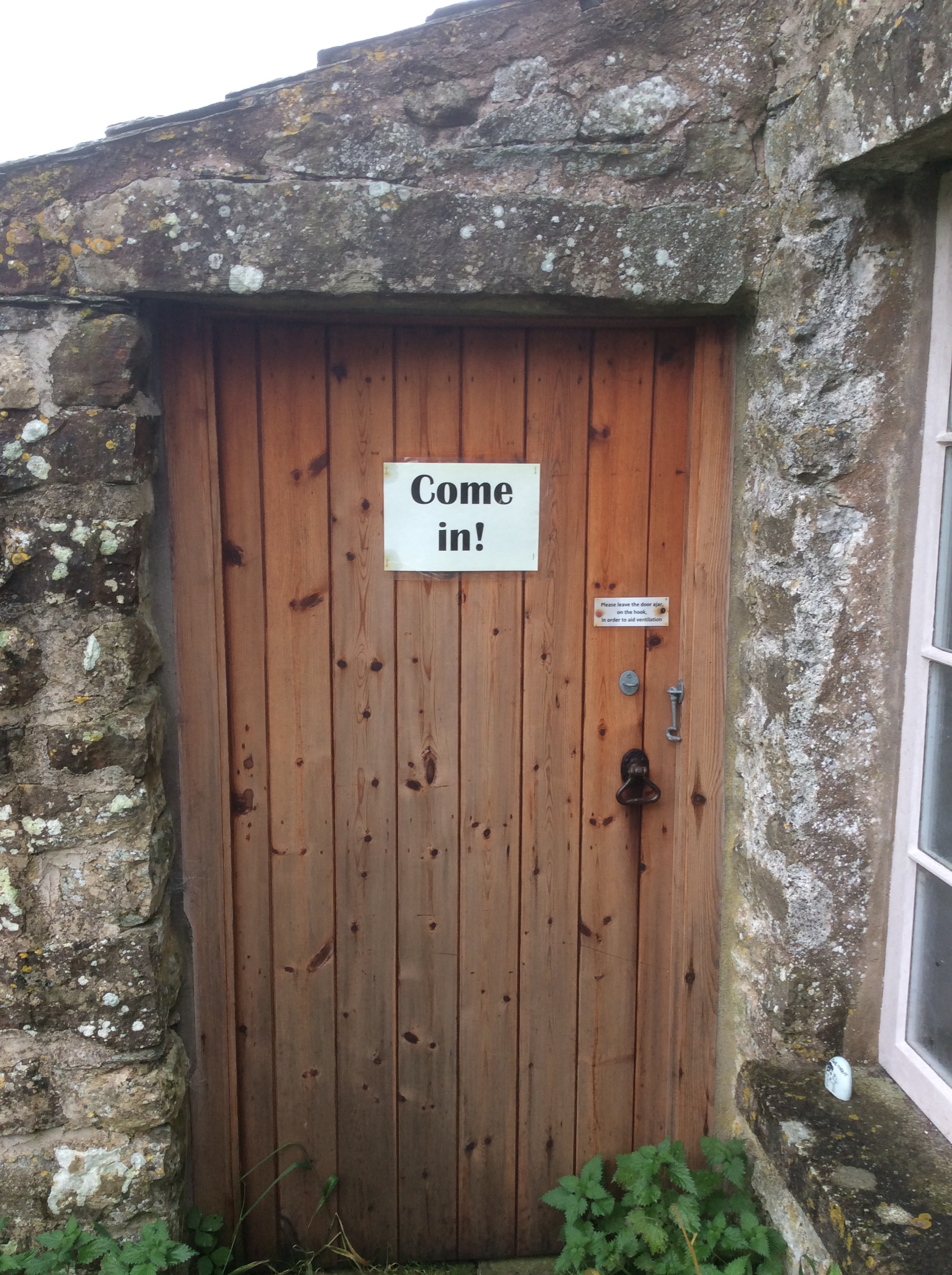
It turned out to be a tiny school from the late 1700’s, set up by a local benefactor. I took shelter from the rain.

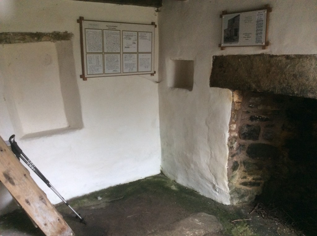
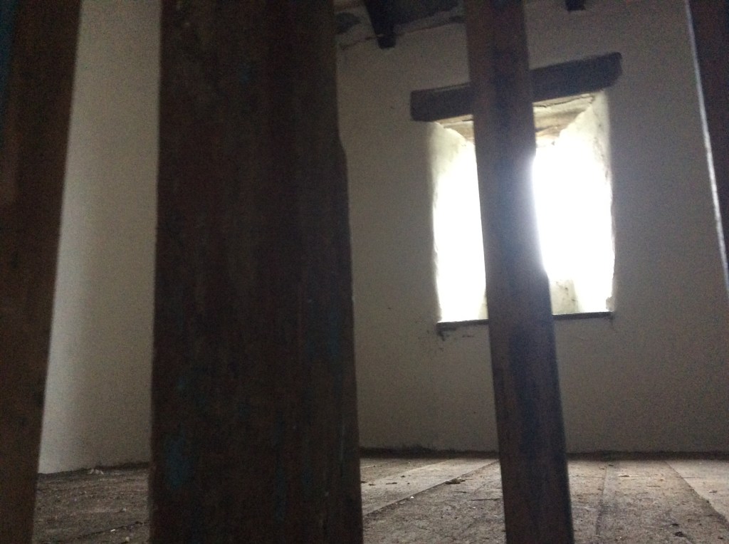
I felt very warm and at home in that small space, which had taught the children of the locality for over 120 years. I spoke to any spirits of children or staff that may be remaining there, but had a positive feeling that all had happily moved on. So I did too. Into darkness at the break of noon. Thanks again Bob.

It rained almost continuously but I was prepared, and it wasn’t cold. Now I had the route back I made good time on tiny country roads, from which I had to tip off to head south on paths again. Seeing no other walkers now for two days. Nobody.
Because of my navigation error today would be 13 miles again. Oh well. I was meeting up with my sister, who would have a tent put up at Kirkby Stephen , waiting for me. How good is that?
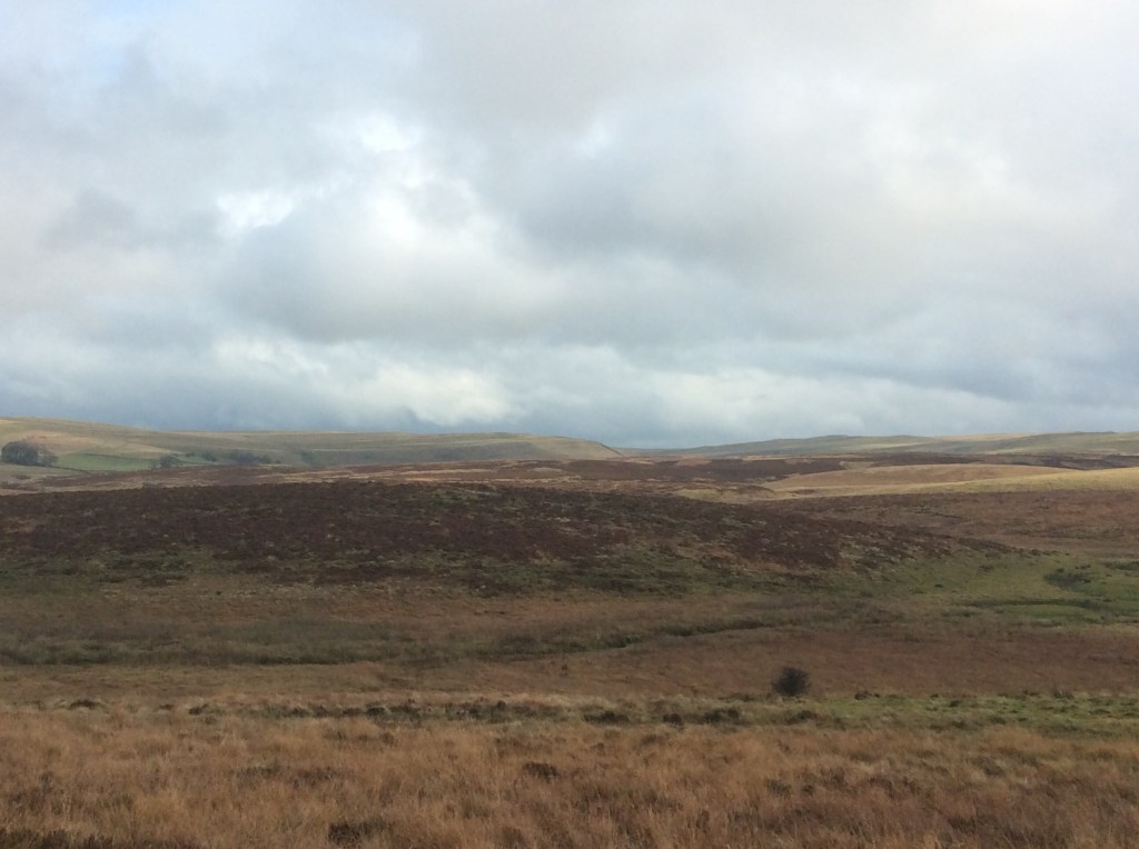
This was a ‘rolling Cumbrian hills’ route, with no massive energy sapping climbs. And the rain occasionally shared it’s space with sunshine.

The route dropped down into a valley that I think was Smardale, with a dismantled railway running through a limestone valley cum gorge. Great views.
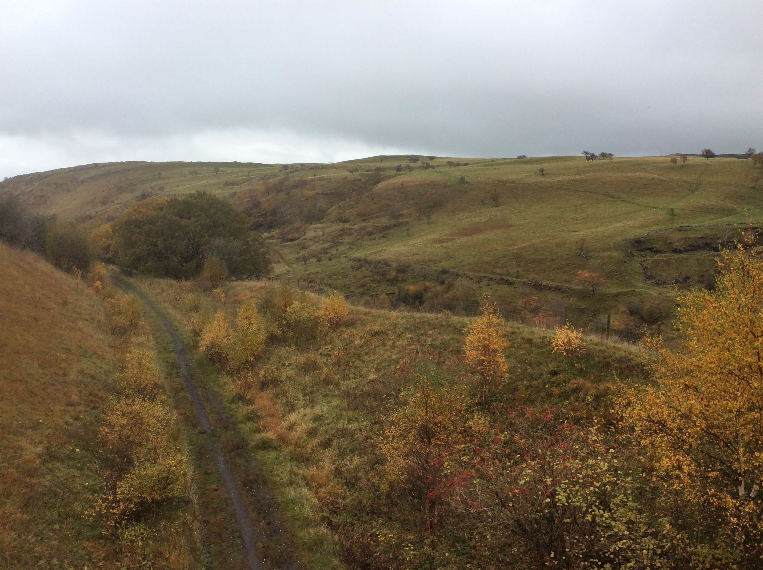
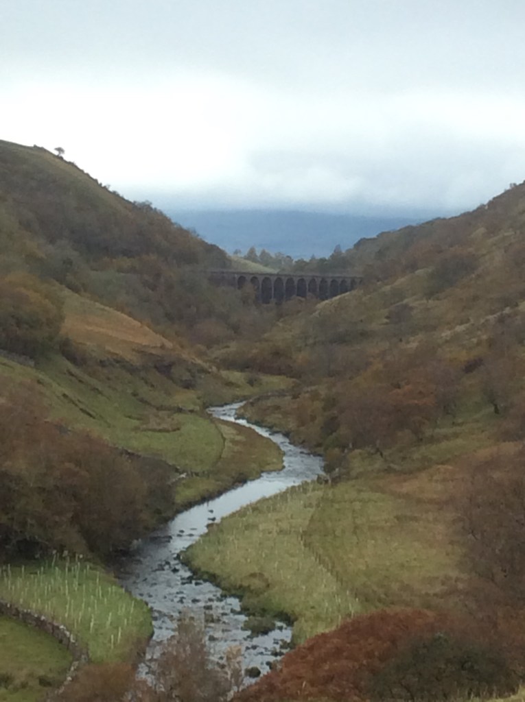
And then a long climb to arrive above Kirkby Stephen.

My sis would be waiting there with black olives for aperitif. She’s so sophisticated.
She’s cooking spaghetti bol for main and she just loves those black, seedless grapes of the Tesco Finest range, the Sable variety, to pluck at as a pleasant dessert.
She let me taste them first. How lucky am I to have such a sister?
I bought some superglue at a shop in the village. My boots might last the distance!
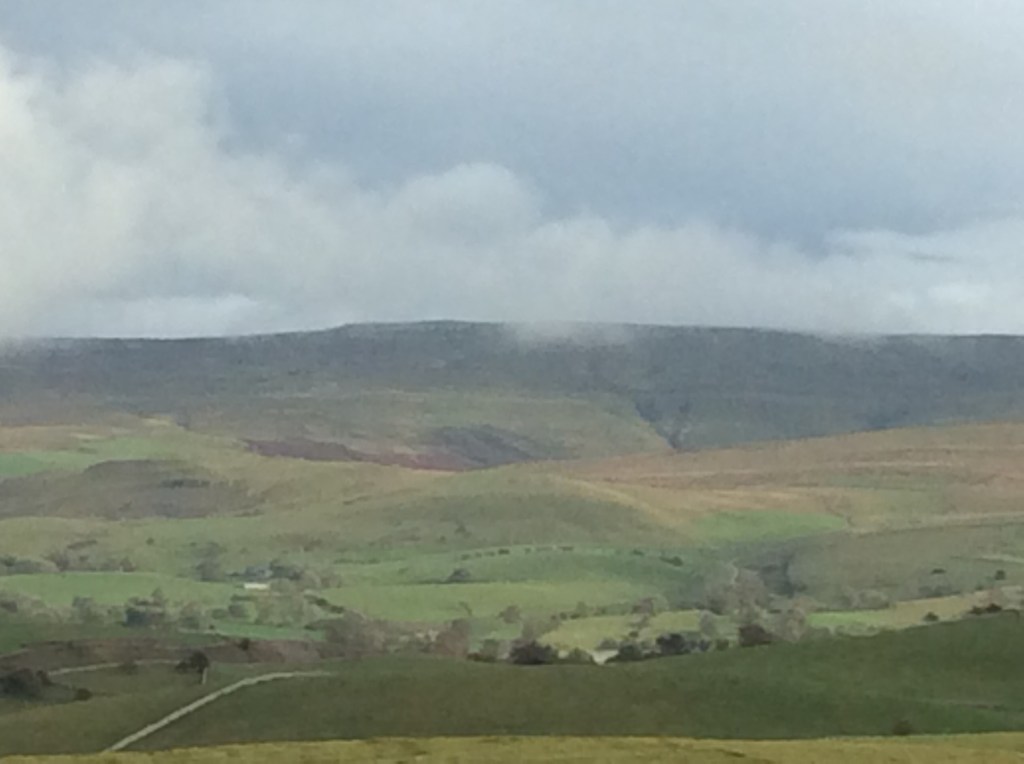
And up above the campsite is the Tan Hill Inn, somewhere up there, that me and my mate Chip struggled to get up to one soggy July day five years ago. Fair play to my friend, despite his difficulties, he made it. I love him.
Night night.
Haweswater to Orton – Hey Joe
Thanks Jimi.
I slept poorly in a comfy bed, but switched on radio 2 in the middle of the night, and my breathing, heartbeat and general internal comfort settled down. Enough to sleep in three sections, divided by a piss, in the right pot, for 6 hours in total. Breakfast was delightful, just bacon and eggs but cooked really well.
Then I was on my way, expecting rain. Thanks Bob. And as I stepped out of the hotel the rain stopped, and didn’t start again until I got to my destination. Which was the George Inn at Orton. Bed and breakfast £35. Kismet Hardy.
Bye bye Lakes. Again.

I followed a footpath up the valley from Bampton Grange (where I’d stayed) to Rosgill, another tiny but attractive village.
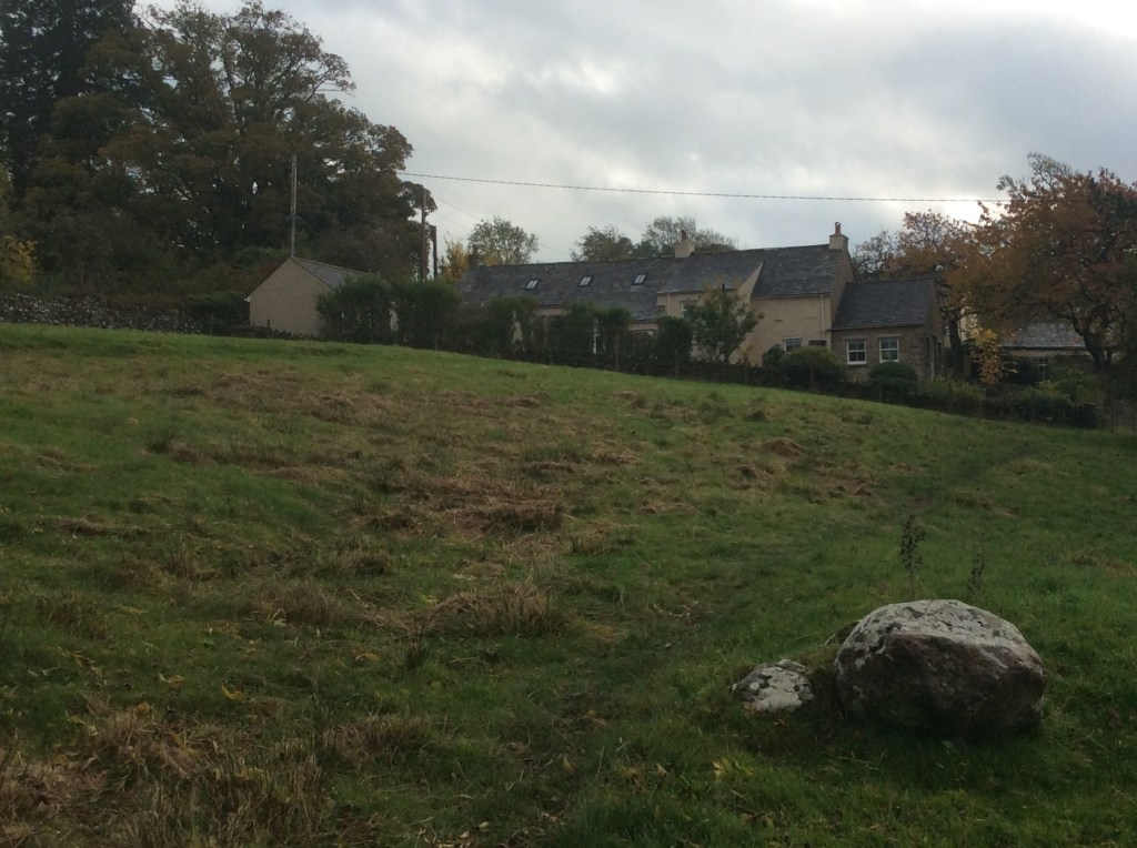
Looking across the valley again the final fells were lovely.
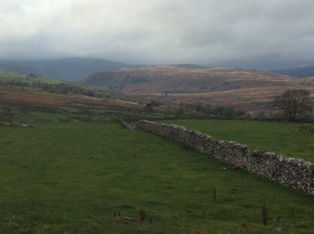
And back down the valley northwards was a substantial peak in the distance west of Penrith. But I didn’t know what it was, and maybe never will, Honey.

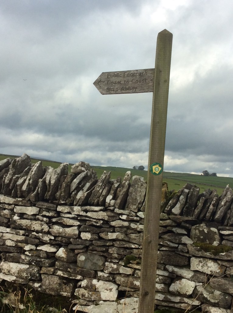
Walking over the hill to the east, towards Shap, I came across the Wainwright Coast to Coast path, which I would follow most of the way from here on.
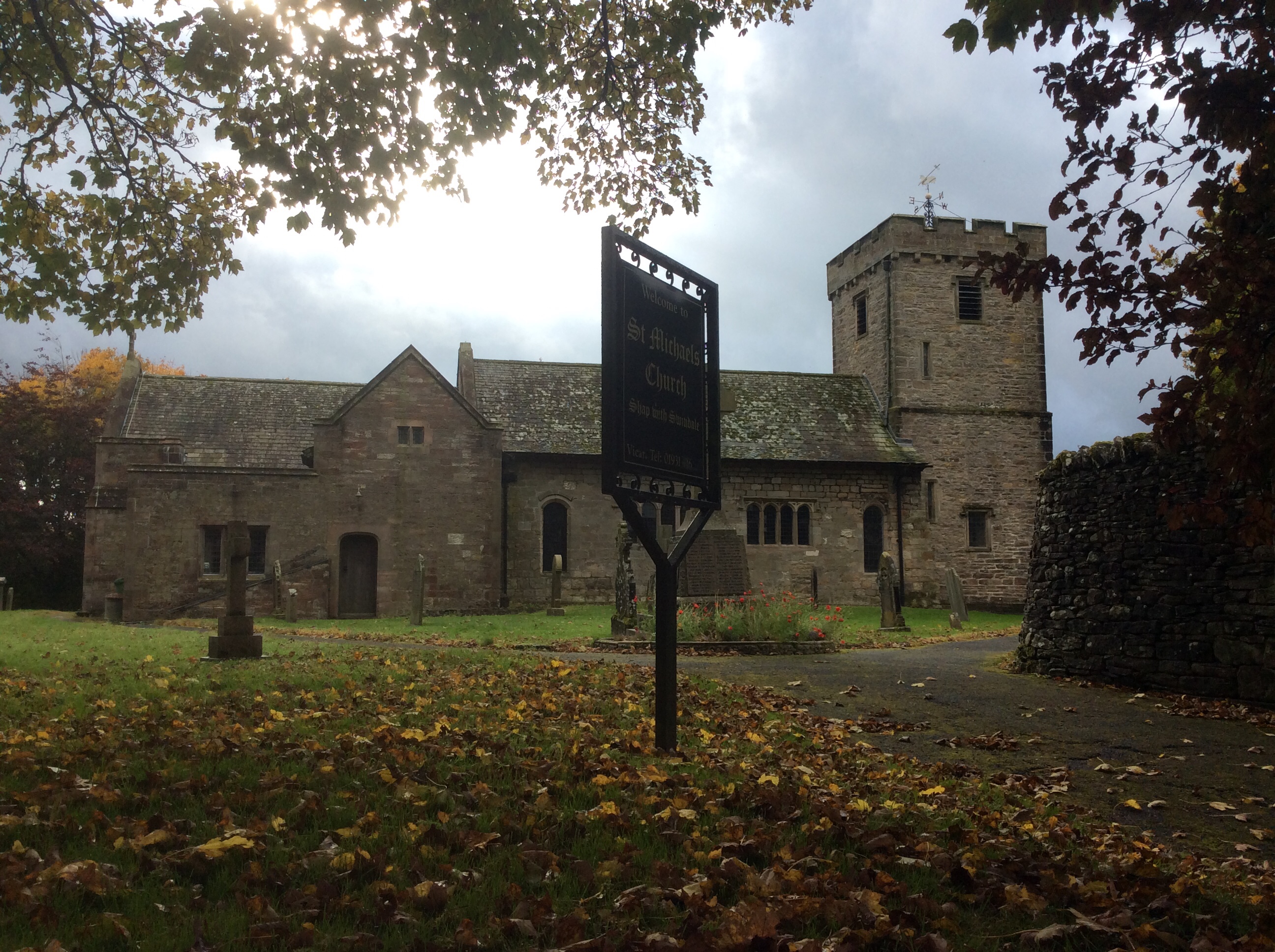
I love ancient bridges, and I love old churches. This is a good one. St Michael’s in Shap. Pity I’m not a Christian, but I’m thinking things through whilst I’m walking. If I could link the enormity of the Universe, as well as the eternal nature of time, to a bloke in Palestine 2,000 years ago, then I might believe. But it looks ridiculous to me written down.
The first footpath to the east took me out to and over the M6, looking back.

Carrying on, the link with the Lakes was gone. And looking forward were the Pennines. Home territory nearly.
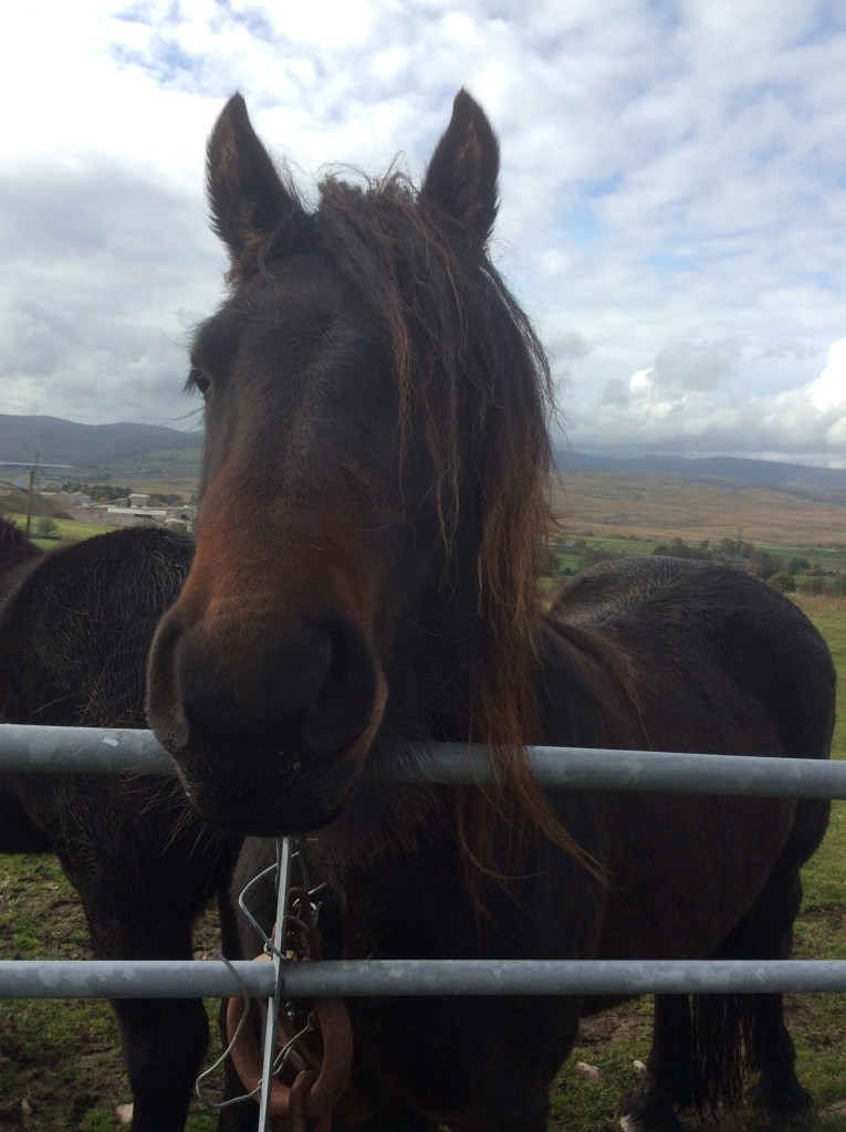
One field I walked through had two horses waiting for me at the only stile leading out. Now, I’m not brave where big animals are concerned, particularly when they came up and started nudging me. They were probably after apples or sugarcubes or summat but I felt abused. I’m outraged and offended. They behaved like animals.
Turning south the path cut through fantastic limestone pavements, and limestone landscapes are my favourite. Home territory, caves, potholes, dry valleys and rivers springing up from the ground. Lads using blazers as goalposts. Wet, leather footballs leaving scars when you head them. People laughing at you because you’re not capable of appropriate social interaction. Oh! Those were the days!

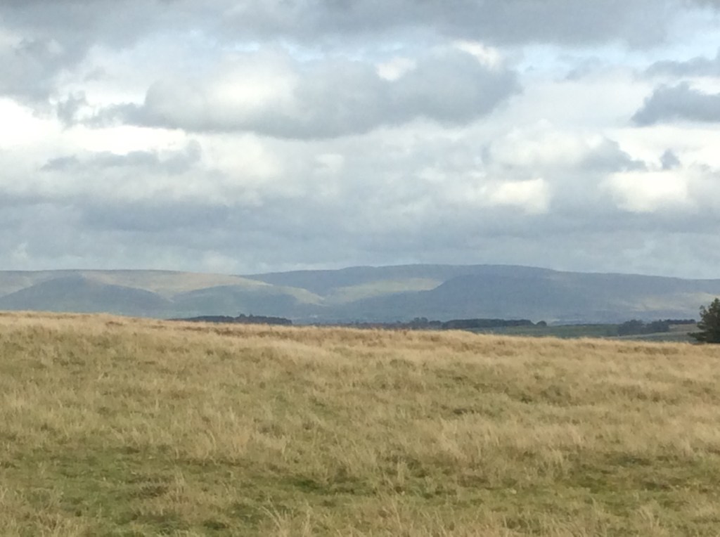
The Yorkshire Dales were emerging to the south. Is that Whernside second in from the right? Is it Pen Y Ghent third from left? Not that far from home, but I’m skirting it to the north.

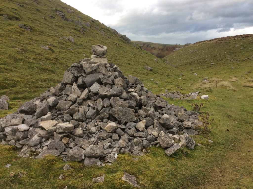
This cairn marks Robin Hood’s grave. He’s got quite a few. Must’ve been a cat.
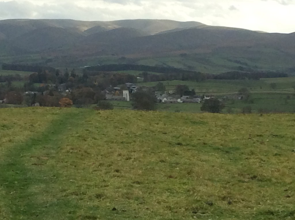
Up the valley, due south and over the top to Orton, with the sun shining in the Yorkshire hills. Just 12 miles today. A good, steady day for tired limbs.
And another hot chocolate waiting for me in the village. With cream!
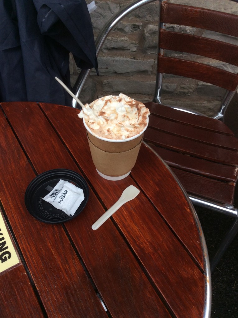
A night in the George Inn. Lovely.
Night night.
Patterdale to Haweswater – Play Misty for Me
It was cold and it rained and I felt like an actor. Thanks David. Then it stopped raining at around 3am and with a strong wind the tent dried out. I was fully dressed in my sleeping bag with my hat on so I was snug, but the wind made the tent shake and the noise made it difficult to sleep for long periods. The view from the tent was good.
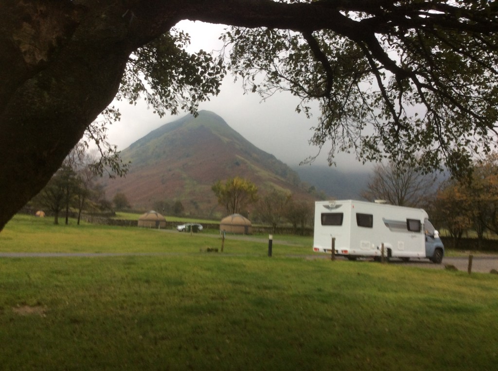
The rain held off whilst I packed the tent away and I got a hot chocolate and bacon bap from the campsite. Warmed and positive I set off down the road a stretch and then up, and up to Hayeswater, high in the hills, and then up on to tops. The Knott stands at 2,400 feet, and you can see for miles from the summit…Knott!
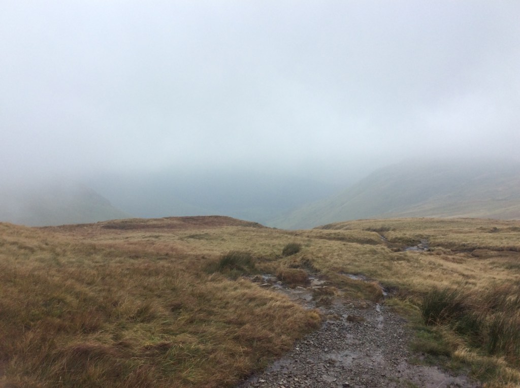
The wind was wild on the top. My path joined an old Roman road, and what the bloody hell they were doing up here Jove only knows. The wind ripped the rain cover off my rucksack and it’s at around 15,000 feet now dodging planes. Luckily it didn’t rain for the rest of the walk. The High Street (Roman road) is on the edge of seriously steep drops, and with the wind I was glad when I turned off past Kidsty Pike, at nearly 2,600 feet high, and took a long descent down to Haweswater.

The route down was difficult in areas and I went a pisser but luckily didn’t bang my head or break any bones. Just injured pride and muddy legs. It’s easy to slip when the land is like this, and wet.
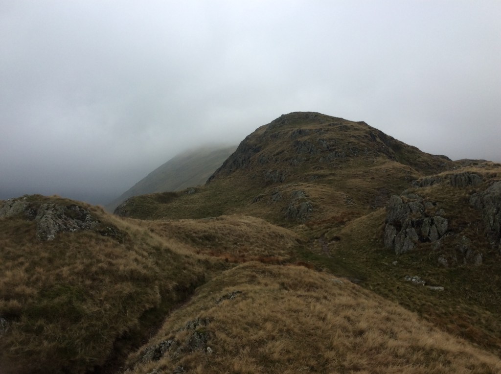
Looking back up the valley towards the peaks the view was dramatic.
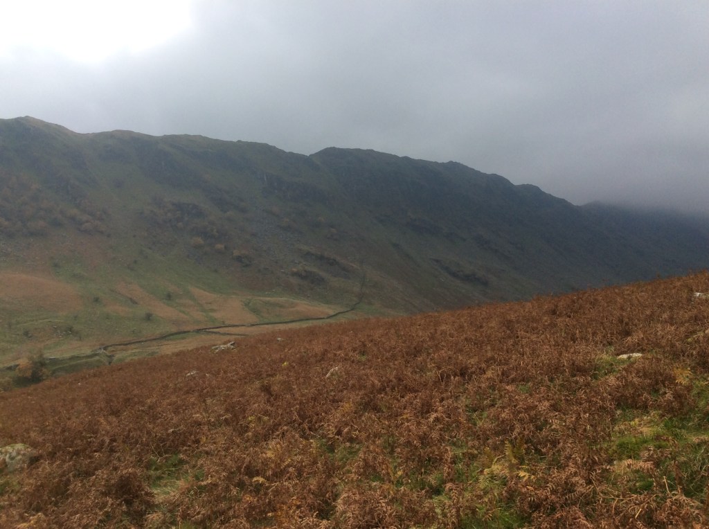
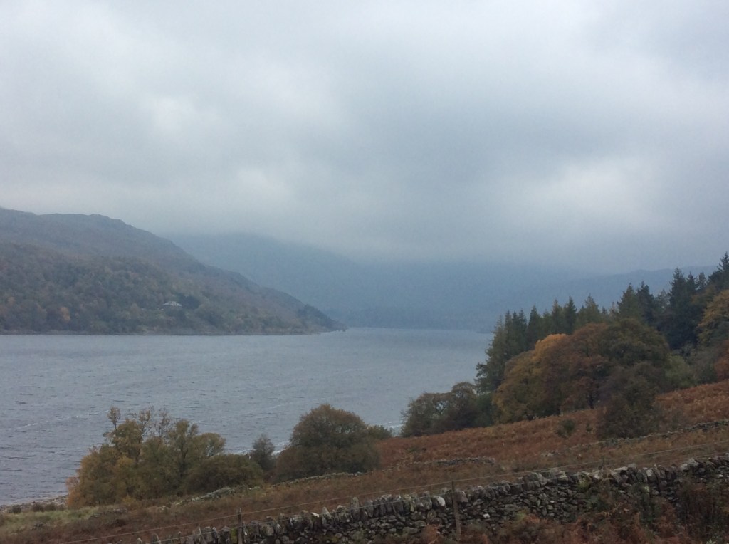
At long last down by the lake the wind dropped and I was able to make decent time on the path round the north bank. Goodbye to the Lakes.
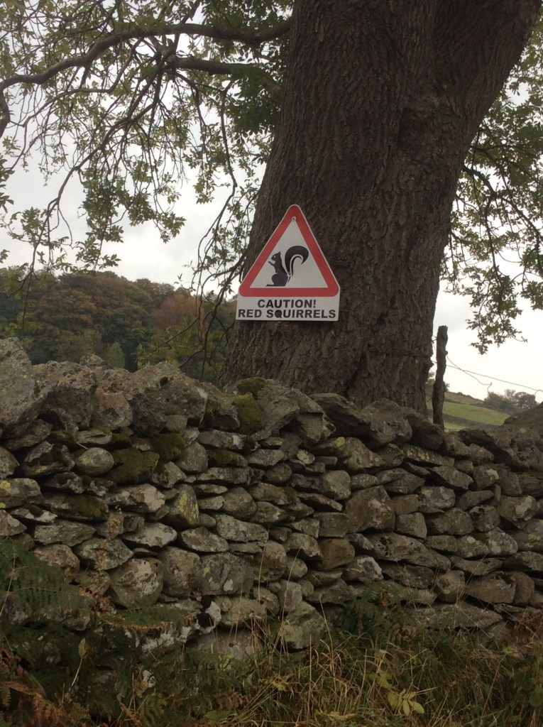
As I approached the bottom of the valley I heard a chirping in the trees. There were red squirrels warning each other of my approach. They looked great, and one held on a branch quite close until I got my iPad out for a photo and then buggered off before I could snap him. I got the sign though.
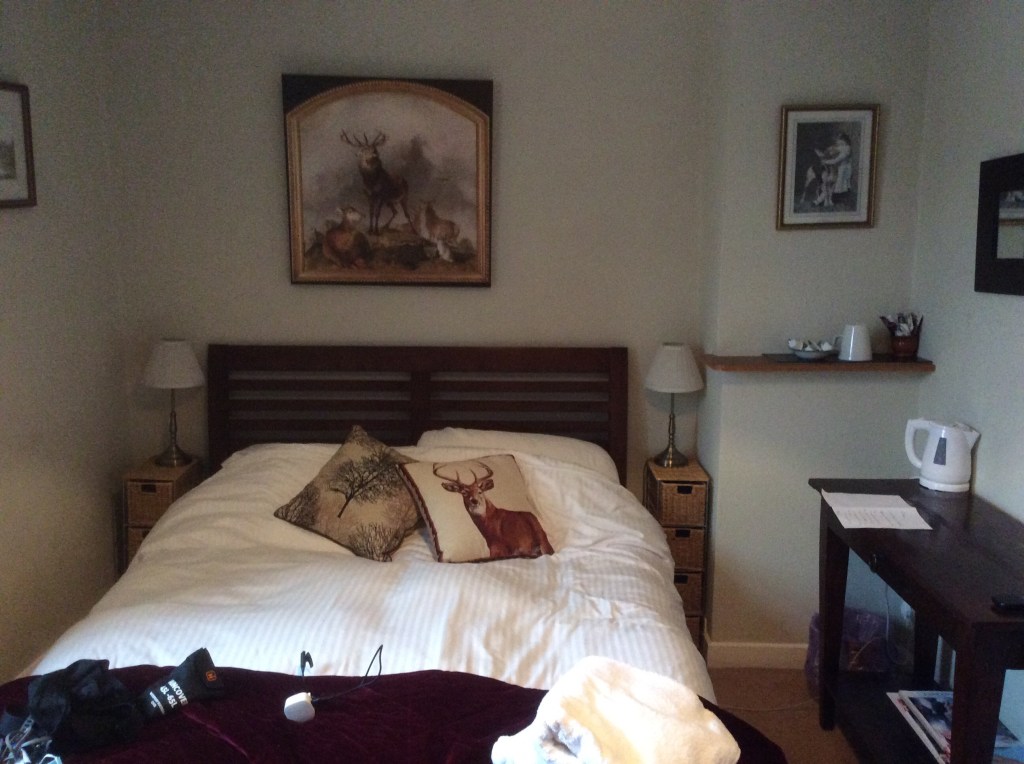
Today was 13 miles again, and worth every yard for a night with a roof over my head at the Crown and Mitre, Bampton Grange. The owners opened just for me, gave me solo access to the bar (which usually only opens at weekends) and they cooked me an evening meal. Great service. And a nice room too.
Night night.
Thirlmere to Hartsop – Bagging a Hatful!
I packed away my wet tent in the light rain after a difficult night. I drink from streams and mostly it’s ok but this time my stomach was so painful that I went to defecate in the night. More successfully than my previous experience with urination but said defecation was rather explosive. Weakened I set off late at 9.30am hundred hours.
The route would take me up from the campsite for three miles, non-stop climbing, to the summit of Hellvellyn. The third highest peak in England. It was so wet and cold I didn’t take a photo going up, although there wasn’t much to see but cloud. With the rucksack I struggled, particularly with my upset stomach. Upset? It was furious! Eventually, sometime after noon, the summit showed.
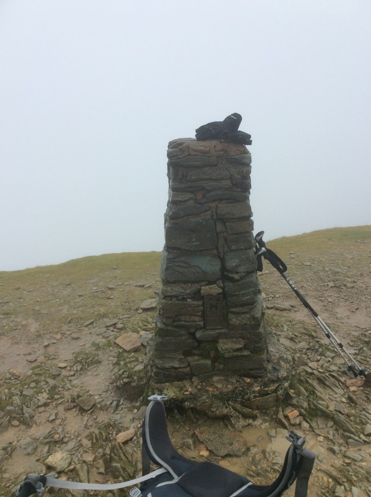
That is all five of the highest peaks in England that I’ve climbed this week. Feels great. Then to come down the other side. A walker had warned me not to take the two steepest routes as they could be deadly with a rucksack. Thankfully I found a safe, slightly longer one, as the clouds lightened slightly.
I soon dropped down a zigzag path and looked back at brooding and largely hidden Hellvellyn. I’d come along the ridge on the right of the photo before dropping down.

I was approaching Glenridding on Ullswater lake, nestling in the valley.
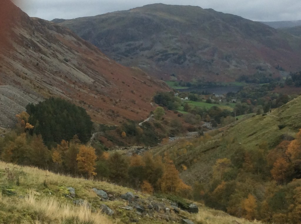
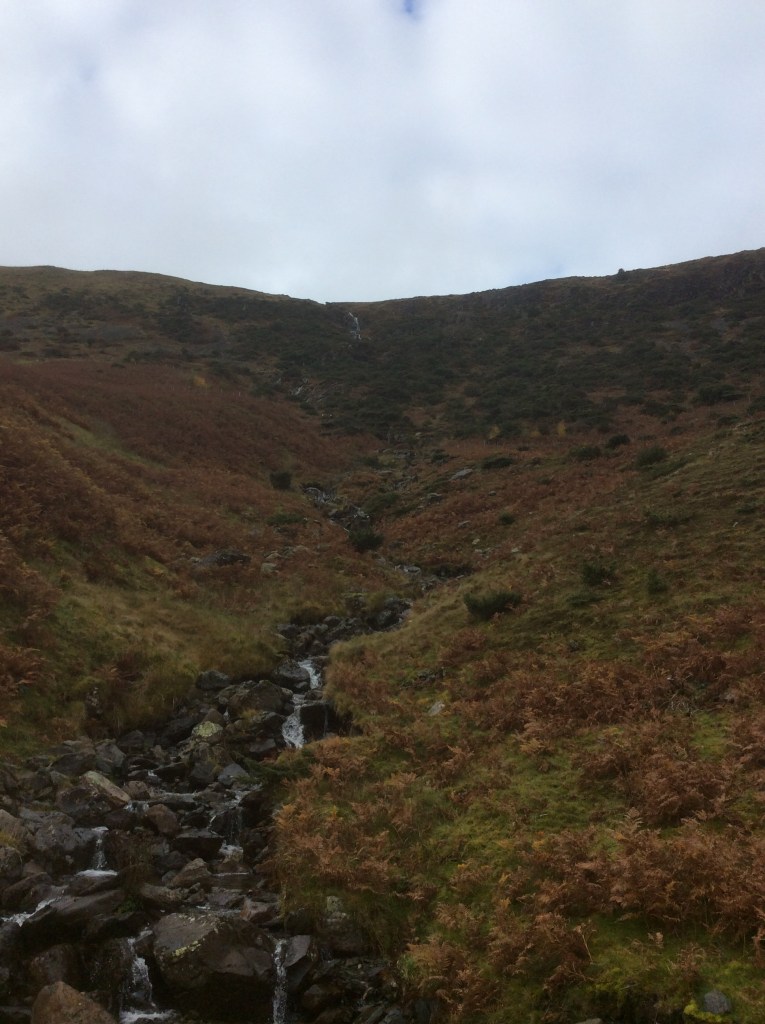
I was feeling warmer, it had stopped raining and I was happy. The waterfalls were not spectacular for this neck of the woods, but they were still a constant feature.
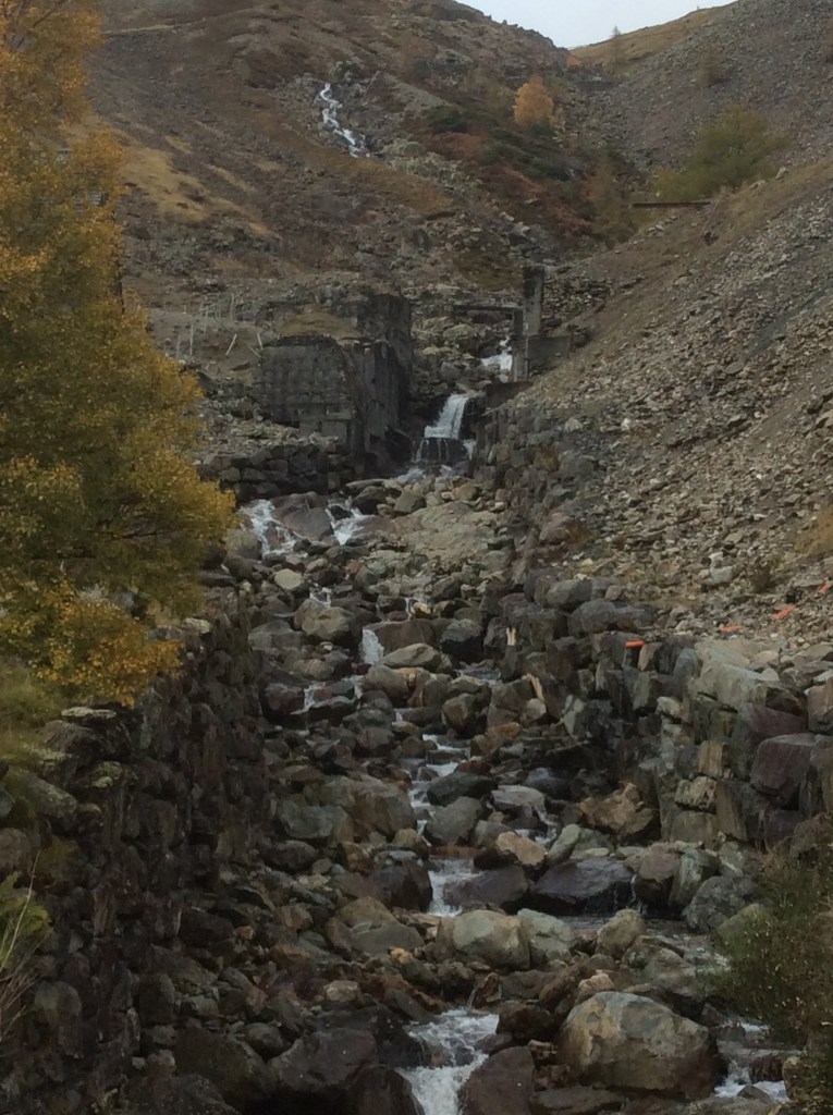
And just before reaching Glenridding there was a massive expanse of historical lead and copper mines and waste heaps.
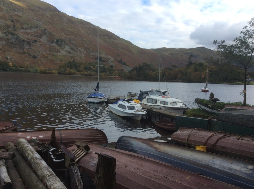
Glenridding is nice.
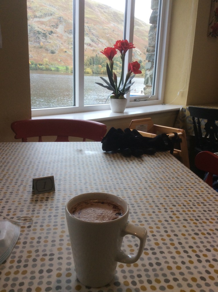
I stopped at a tea room for a defrosting hot chocolate.
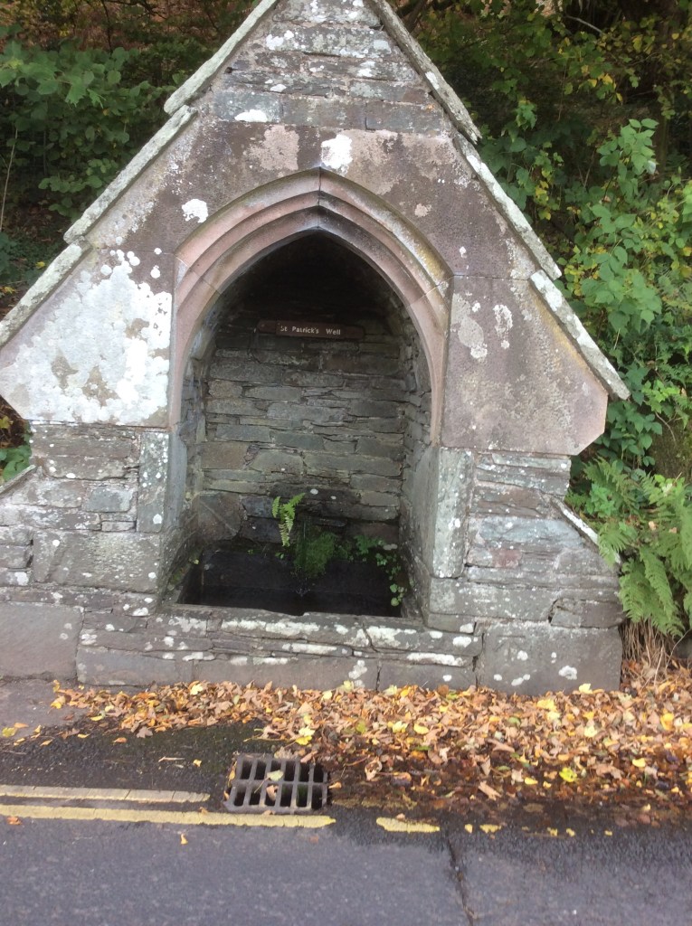
And a quick gander at St Patrick’s Well. Of course he is. He’s not daft enough to drink from streams.
A four mile march up the valley to my campsite and hopefully a good night’s sleep. A rainy week to come but I’ve got a roof over my head tomorrow and Tuesday. Joy of joys. Thirteen miles today, including 3,116 feet of Hellvellyn. Not bad old lad.
Night night.

