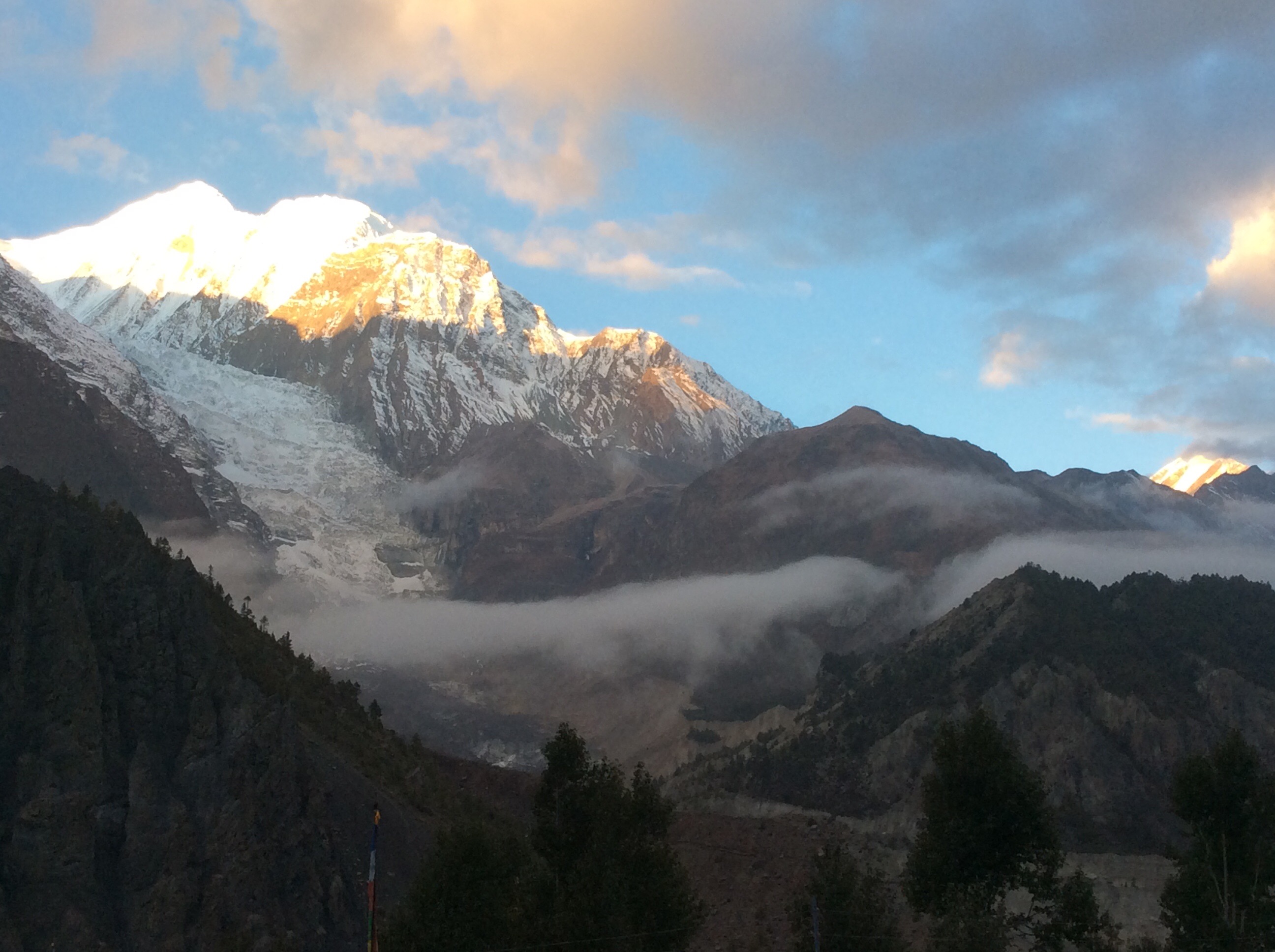
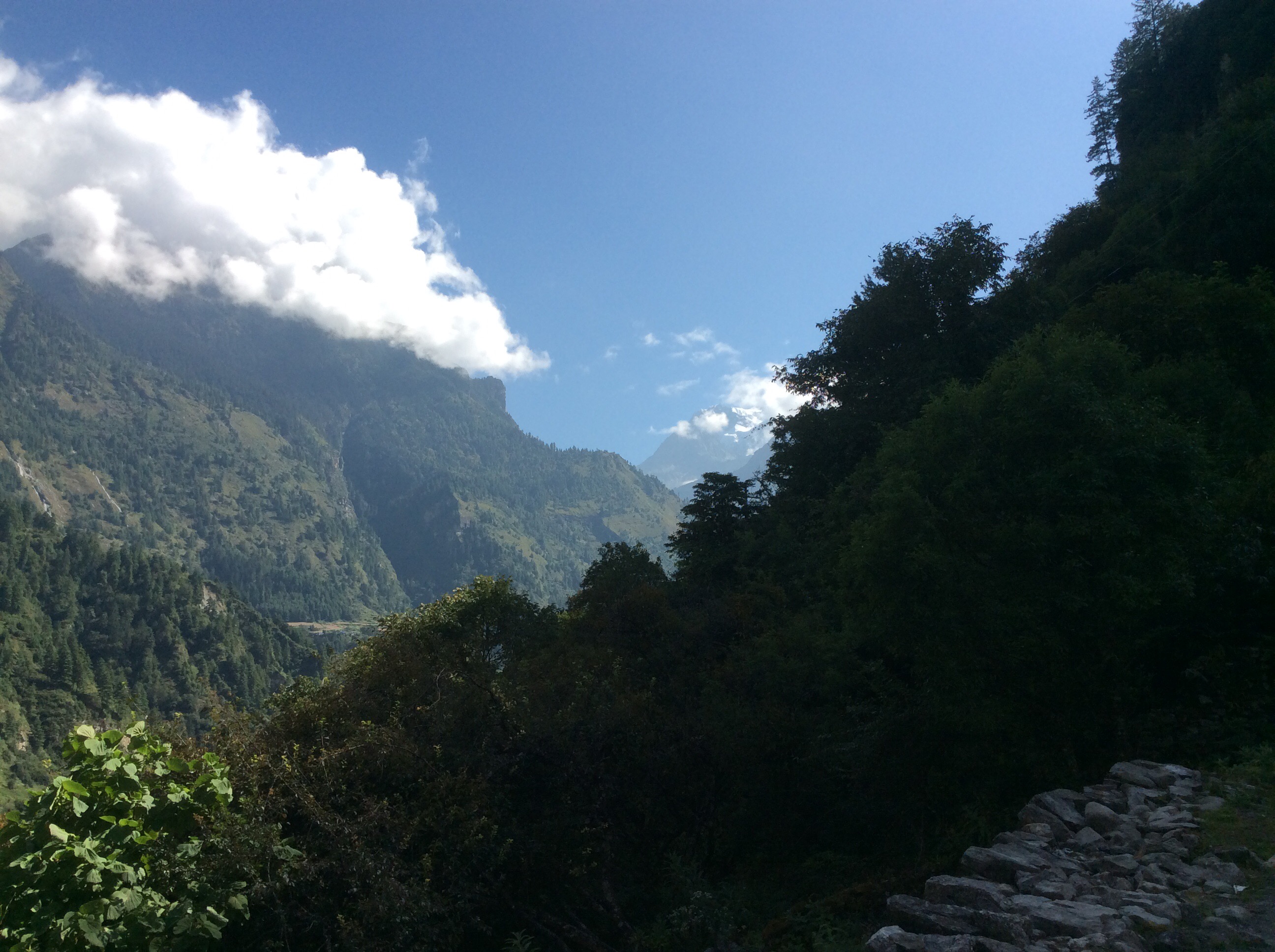
Kagbeni to Tatopani – Highway to Hell (7th blog today)
Today we had decided to set off walking early down the valley towards Jomsom and if a bus passed us then we’d jump on it, then take another bus to Tatopani. We don’t have enough time to walk the whole circuit so now we are going to jump to an interesting and final section.
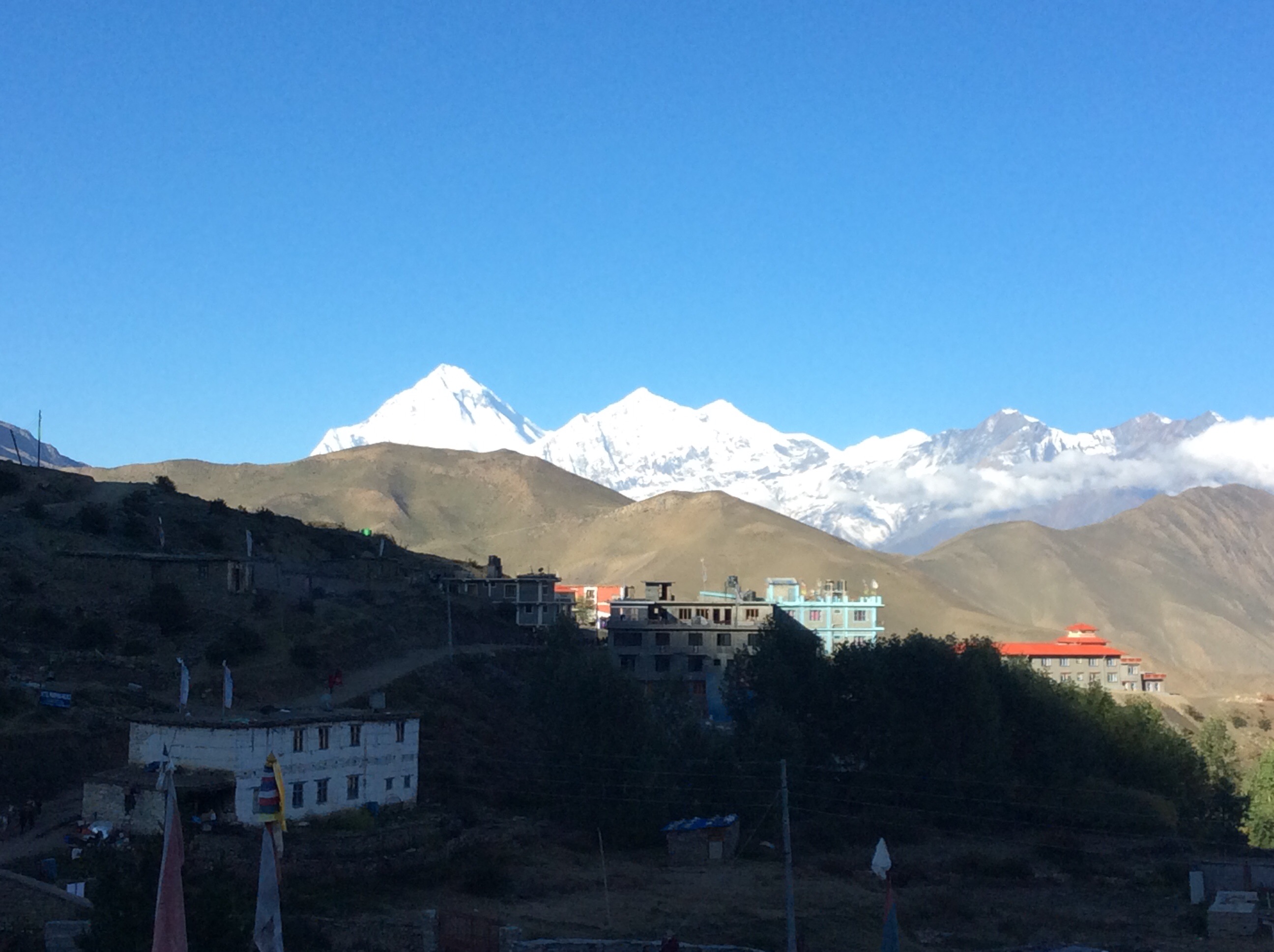
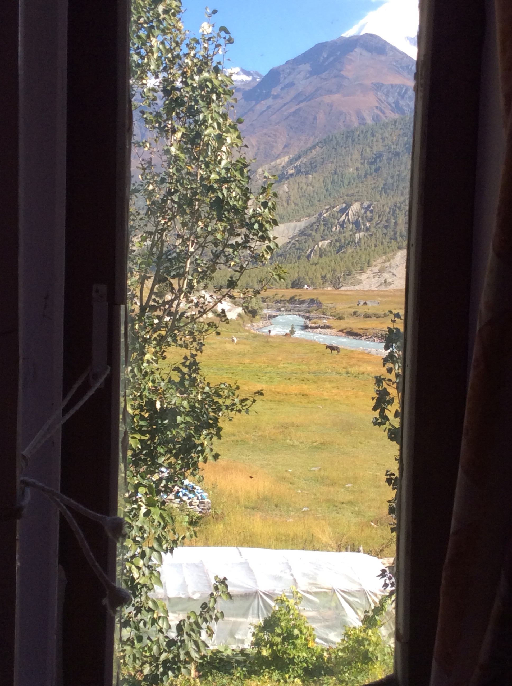
The view from the guest house was lovely in the early sunlight.
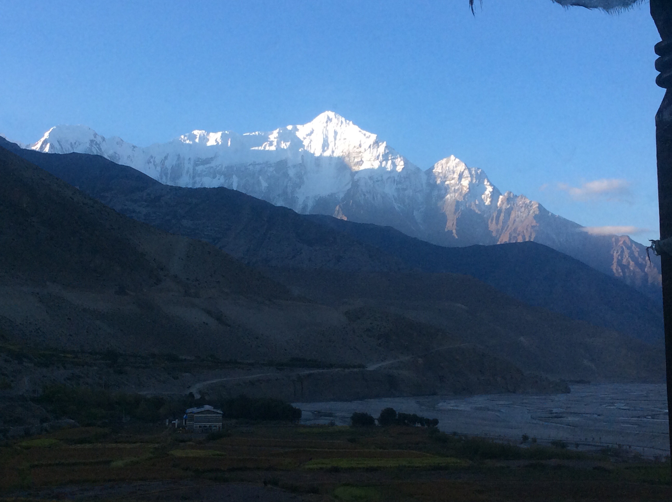
Setting off, the morning was cool but not crisp, and the view down the valley was great as the sun had risen a bit higher.
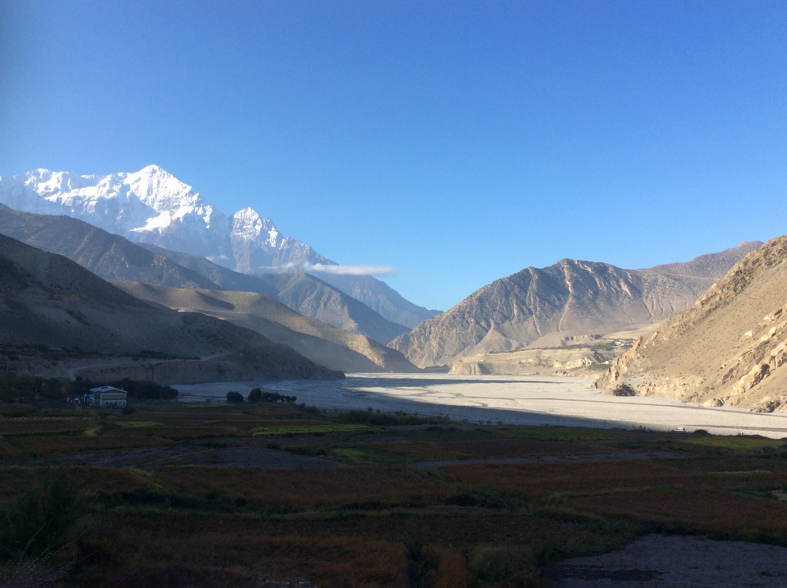
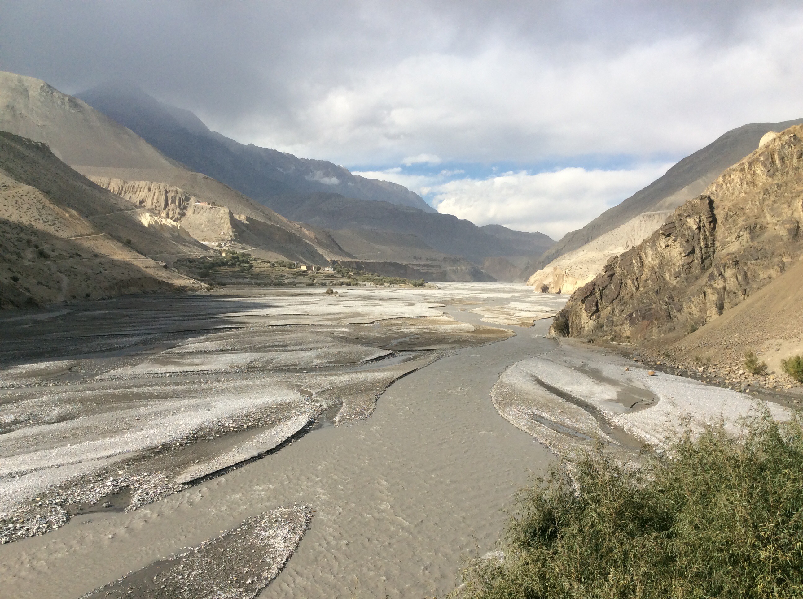
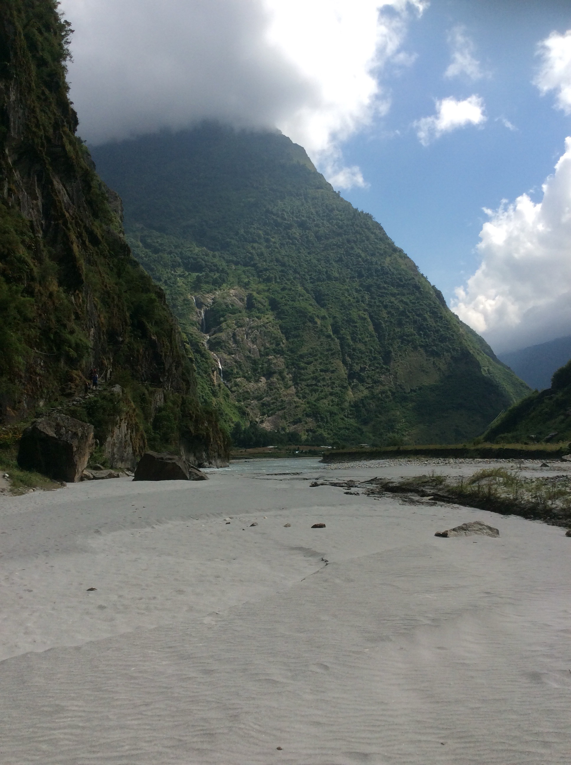
At this lower altitude, around 9,500 feet, walking was easy, the air wasn’t thin. Looking back upriver the Mustang valley was broad and stony, with Kagbeni just above it in the middle
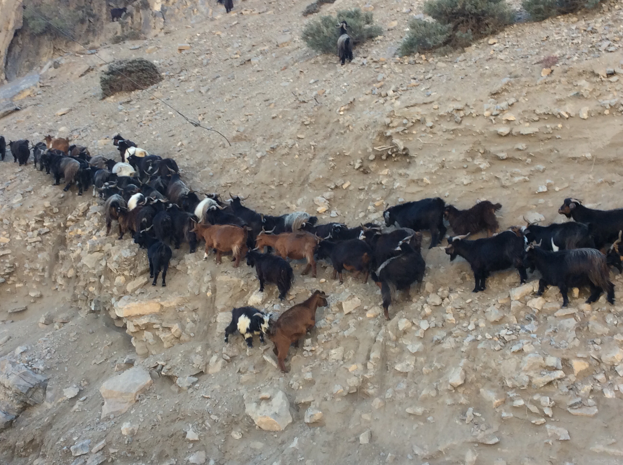
There is a Hindu festival for a few days on the 18th October and cities have been stocking up with produce from the regions. These goats will find themselves in Pokhara or Kathmandu, being killed by the families that buy them. Unless they fall down the mountain first.
We had covered a couple of miles when a bus came along. A ropey effort with a maniacal driver. I thought we were going to die. The bus bounced over the boulders at great speed.
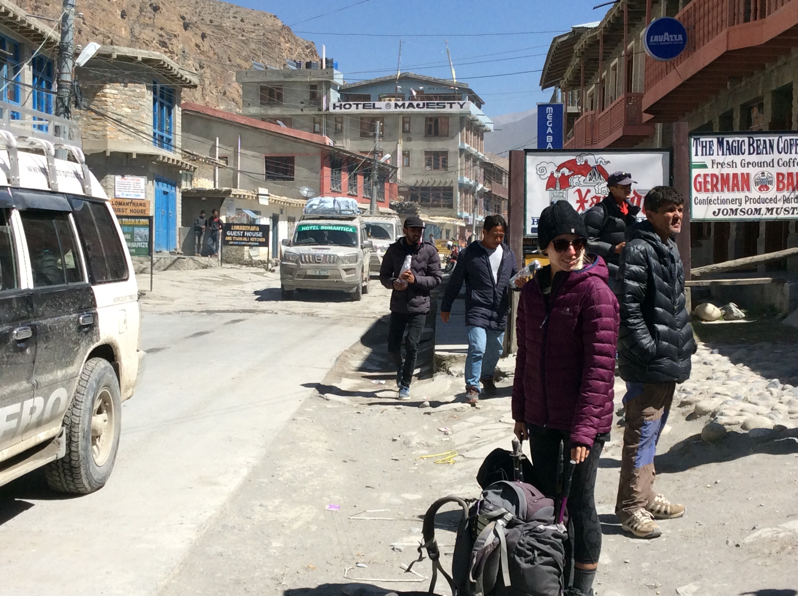
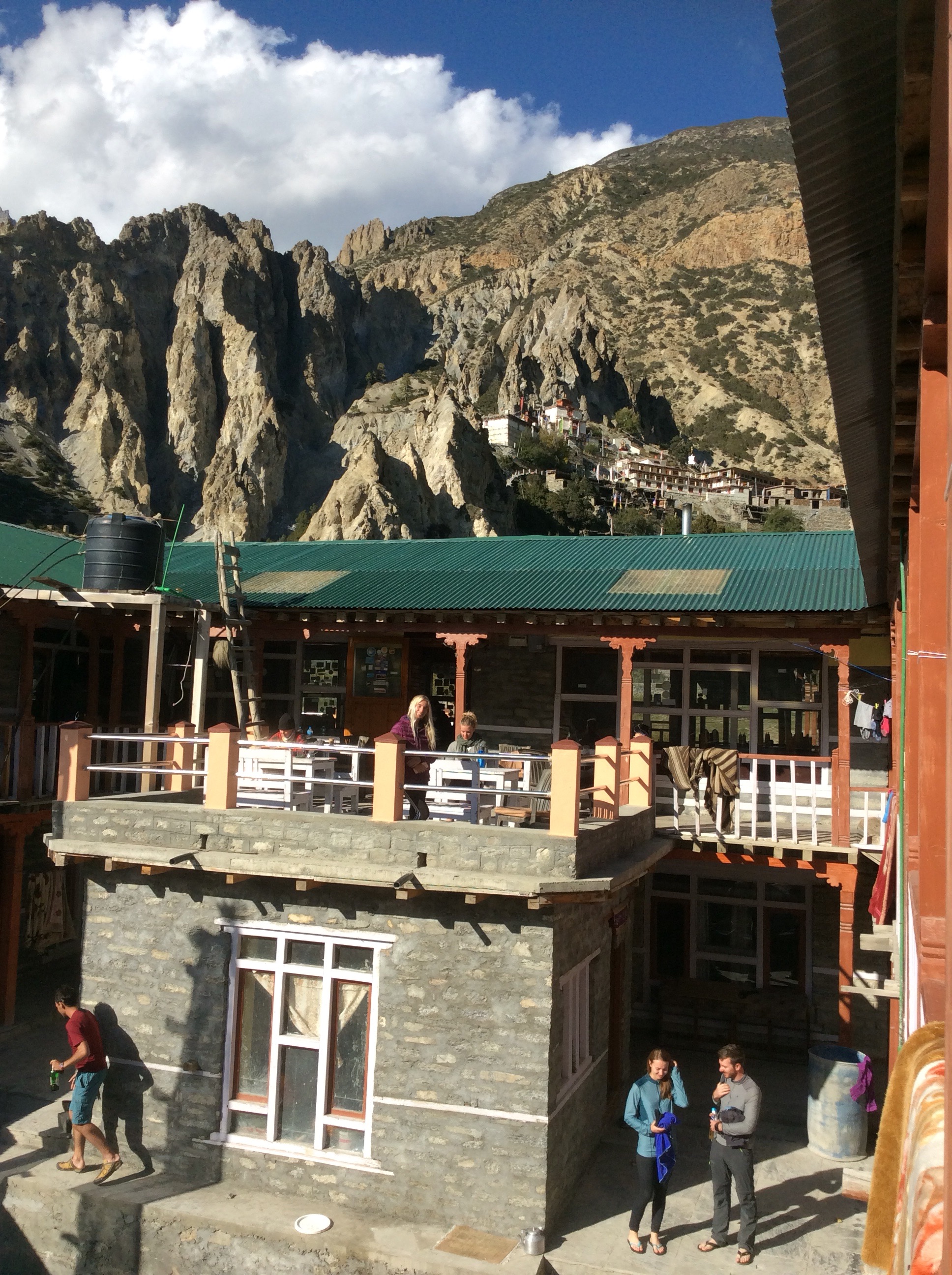
Shaken and stirred, we arrived in Jomsom, the biggest town this side of the mountains. It was a windy dust bowl that was teeming with people. Pilgrims coming, pilgrims going, trekkers passing through and locals trying to make their annual salary this month whilst folk were here. It has very little appeal.
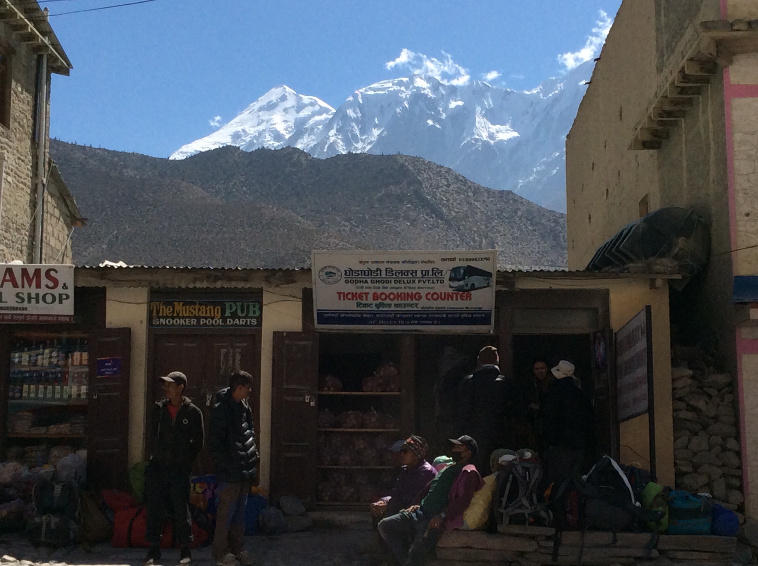
We couldn’t get bus tickets to Tatopani, despite there being several buses an hour, until a 2pm deadline, the journey being 5 hours and no buses leave when they might have to finish in the dark. The price of jeep hire escalated by the minute. There were many bus operators and we trawled the ticket booths until we found standing room only on one that left at 12.15. We pushed a reluctant Prem into buying the tickets and went for an early lunch. Then we turned up early at the ticket booth next to the Mustang Pub and Snooker Hall, with a Himalayan backdrop.
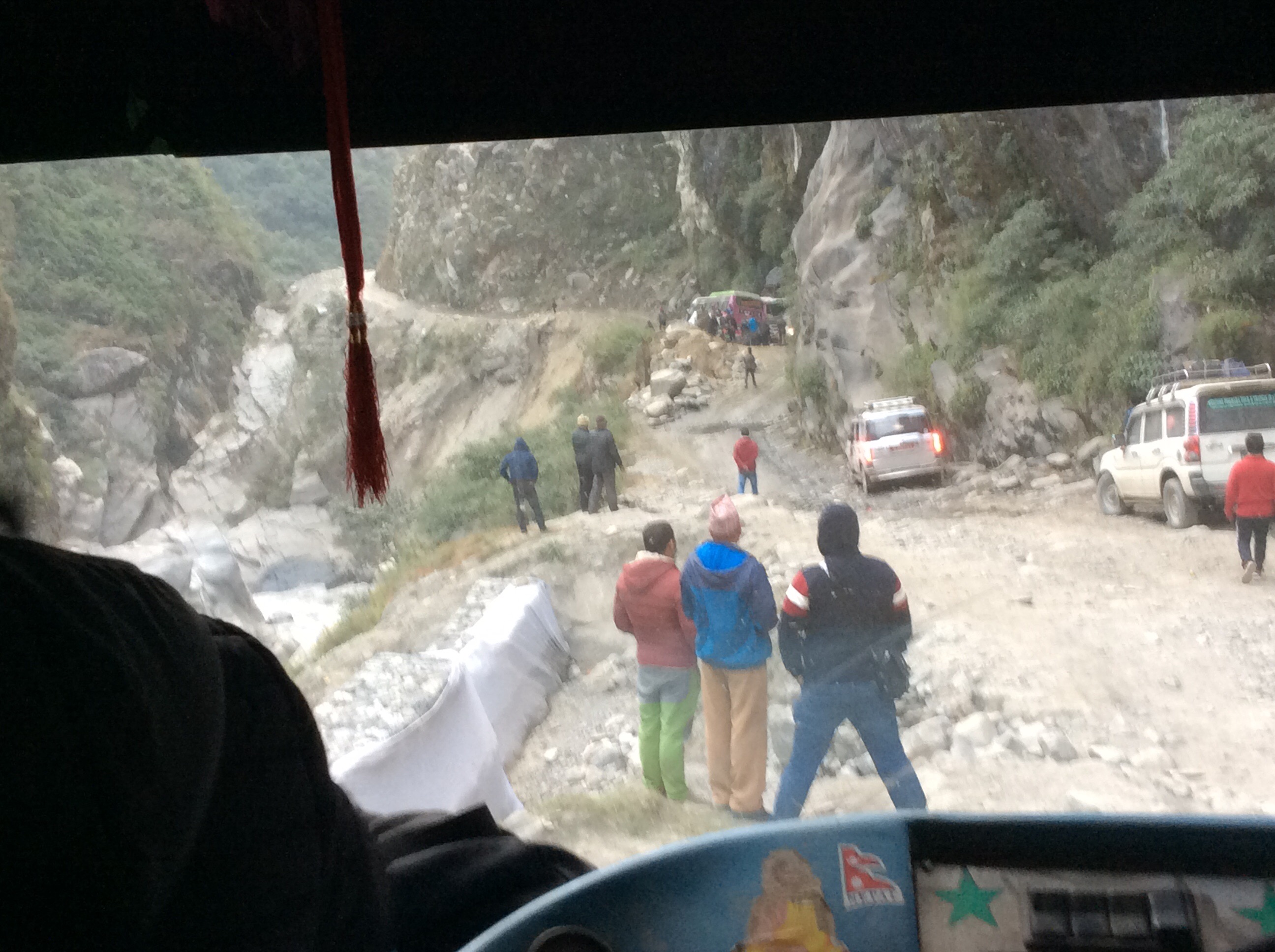
The bus arrived and it was crap, not far from scrap. It took nearly an hour to load luggage on to the roof. A bloke tying the tarpaulin then slipped and spectacularly fell to the ground, hopping around holding his ankle and wrist. He was the second driver on this 12 hour journey to Kathmandu, which luckily we only shared for 5 hours.
The bus had 39 seats, all full. There were 15 people standing up, a few hanging out of the door and 11 of us inside the driver’s cab, including the driver. I think that’s around 60 to 70% over capacity. The luggage was spectacularly overloaded up on the roof, causing us to lean dramatically when driving on a slope or turning a corner, and there were sacks of rice, boxes and luggage piled on the floor for people to clamber over.
Forgive the lack of photographs on this journey. I was scared, so was Jet who begged that we got off and walked, but we had to do it. I couldn’t get my iPad out to take photos as I was hanging on for dear life, white as a ghost. Jet said I was the same colour as when we went on one of the most manic rides at Lightwater Valley.
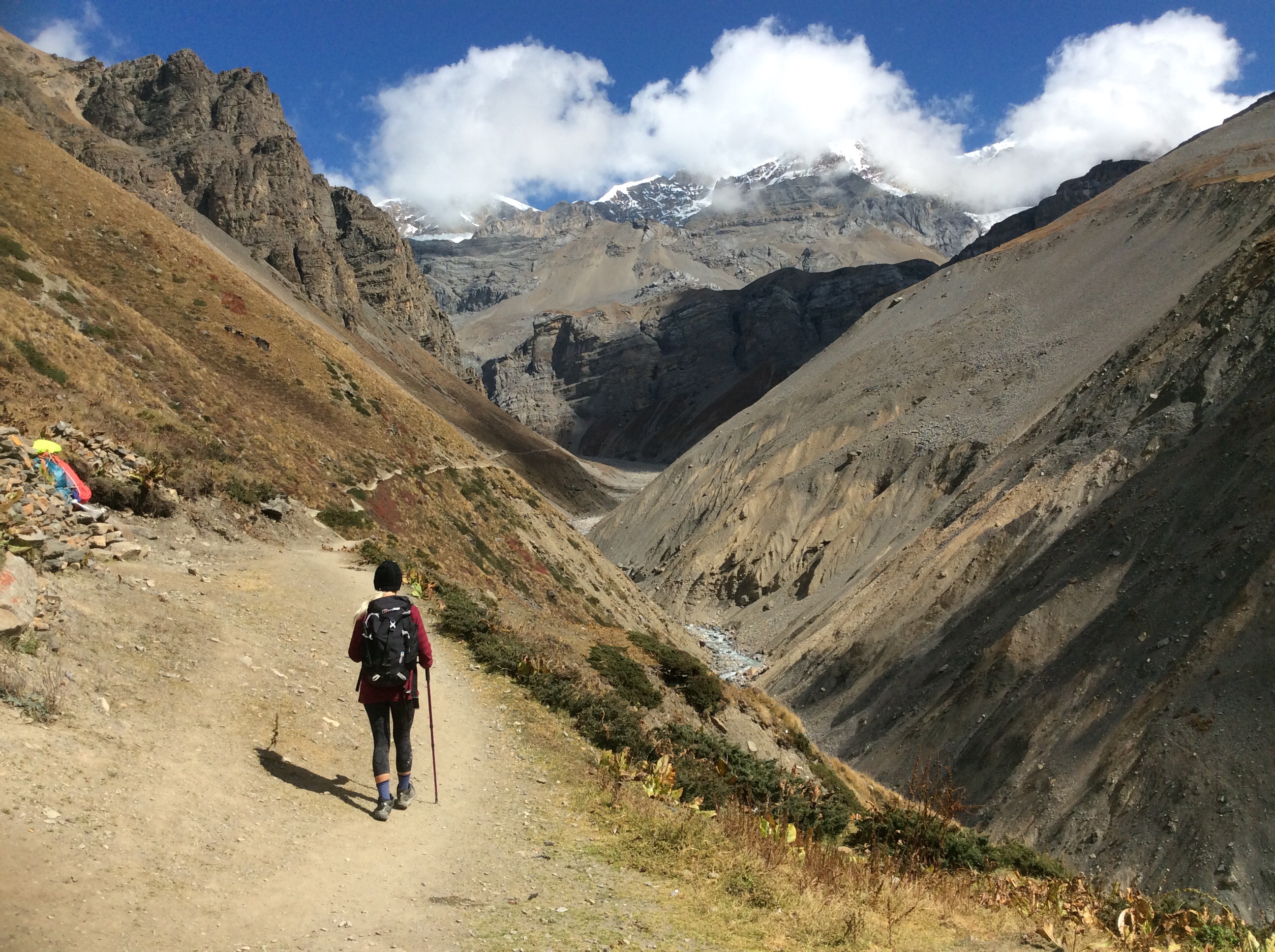
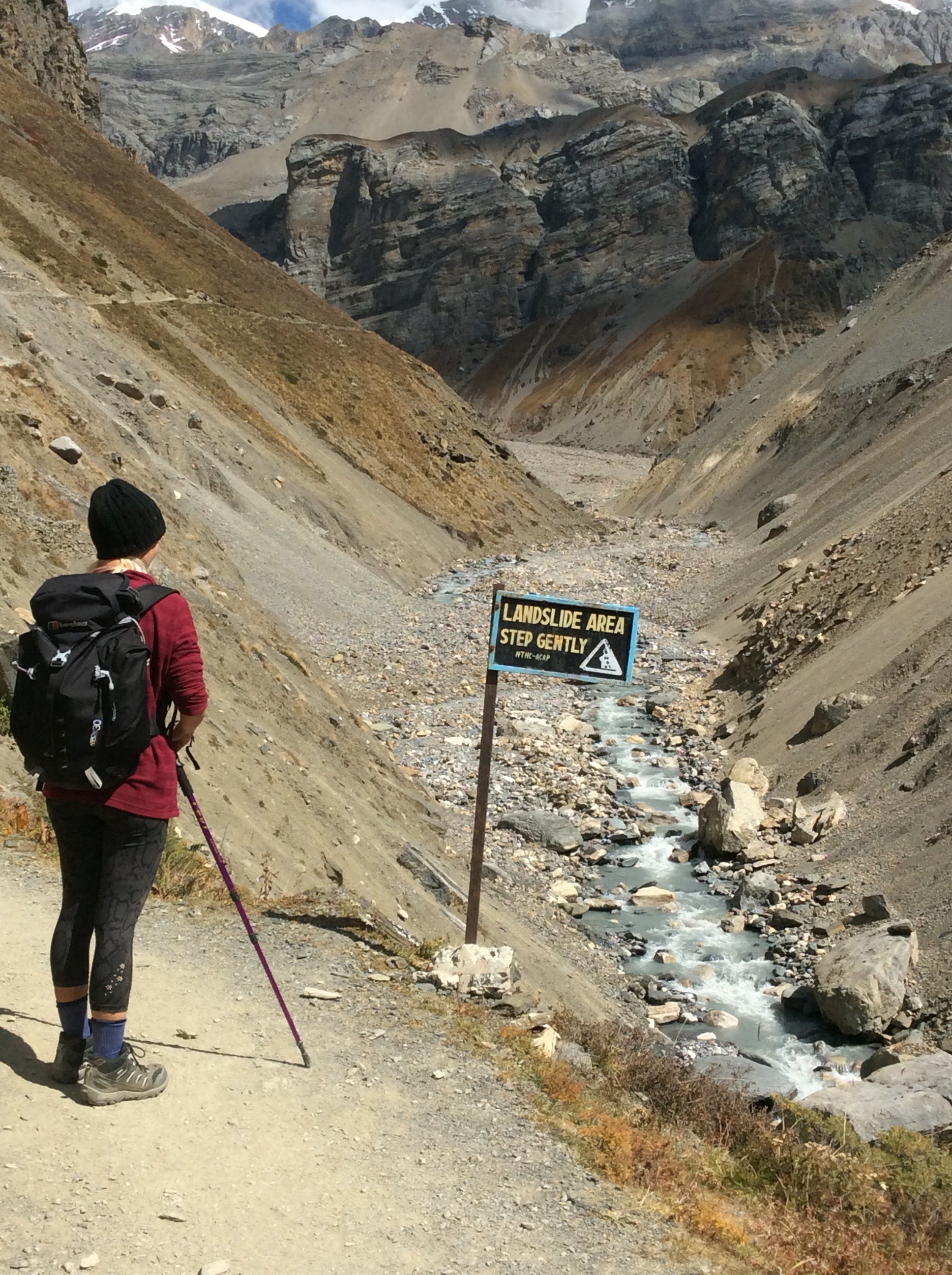
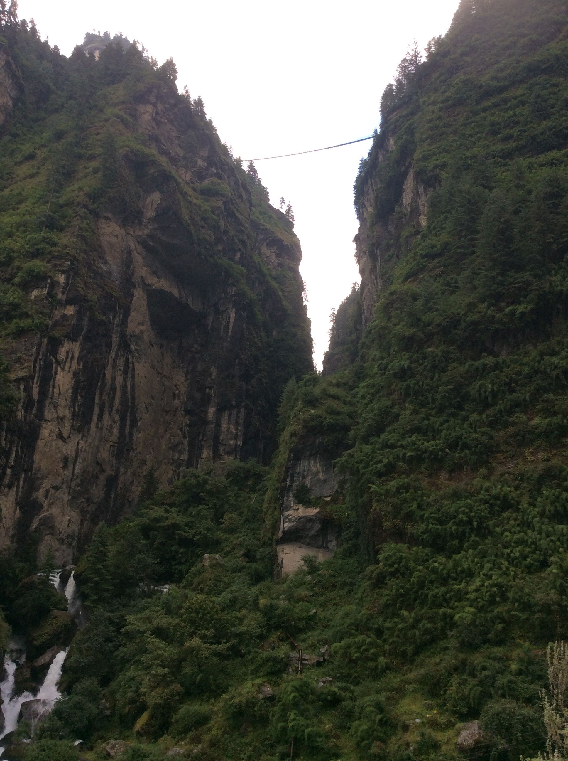
The road was just bulldozed out of the mountains and was a mass of boulders, mud and dust, with no surface at all. There were multiple landslides which had crashed through it and streams that splashed across it. The road clung in places to the side of one of the highest ravines in the world (there are many of these superlatives in Nepal). Jet used one – worst experience of her life.
We were both convinced that this road led to death. Except for one saving grace, being our young and unflappable driver, even when we were slipping in mud towards the side of the abyss. We were reassured by his control of this top heavy freak show. The bus made regular stops and, halfway through, the driver got out and the man with the broken ankle and twisted wrist got into the driving seat. He told me and Jet that he was now the driver and asked if we had painkiller spray!
Luckily we hadn’t and he realised that he was too injured to drive this sarcophagus over the river Styx. Our original driver took over. Hooray!
We hit a problem with a breakdown blocking the road, at a relatively low level on the mountainside.
After hours of Fred Karno’s Army of traffic control and manouvering close to the edge we were released into the darkening pass. With only one headlight working. Another hour and a half later we arrived in Tatopani. Sighs of relief were never heavier. Eventually we found a guest house of decent quality that wasn’t full, ate and slept. Relieved to have escaped from the Devil’s grip.
Night night.
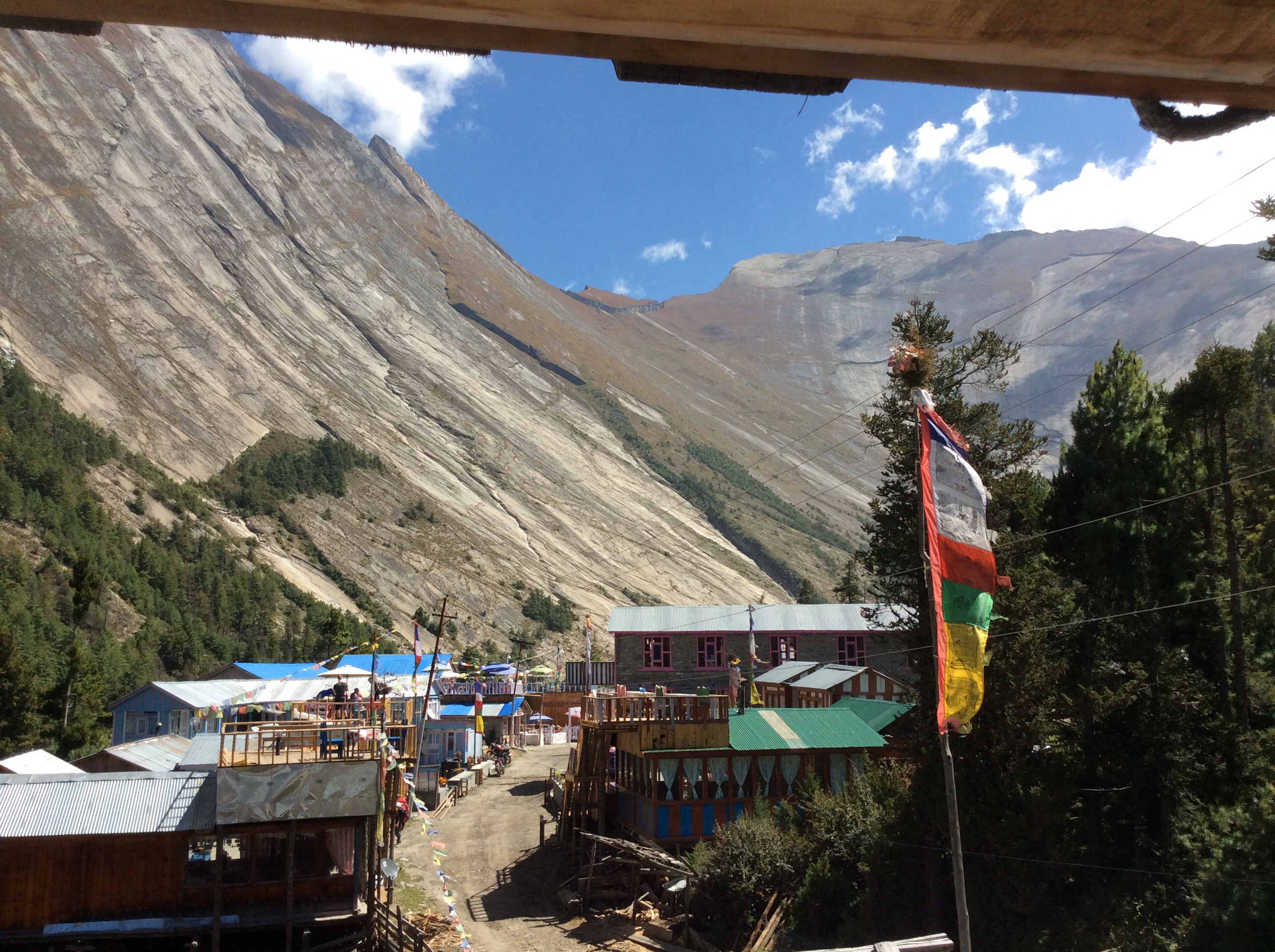
Muktinath to Kagbeni – and the coloured girls sing (6th blog today)
Well, maybe not so wild side, but not tame either. We’ve settled into a routine of fried eggs on toast for breakfast. One portion of toast is 2 slices so we share one me and Jet. Who, after yesterday’s performance on the pass crossing, should be called Jumping Jet Flash. She done good.
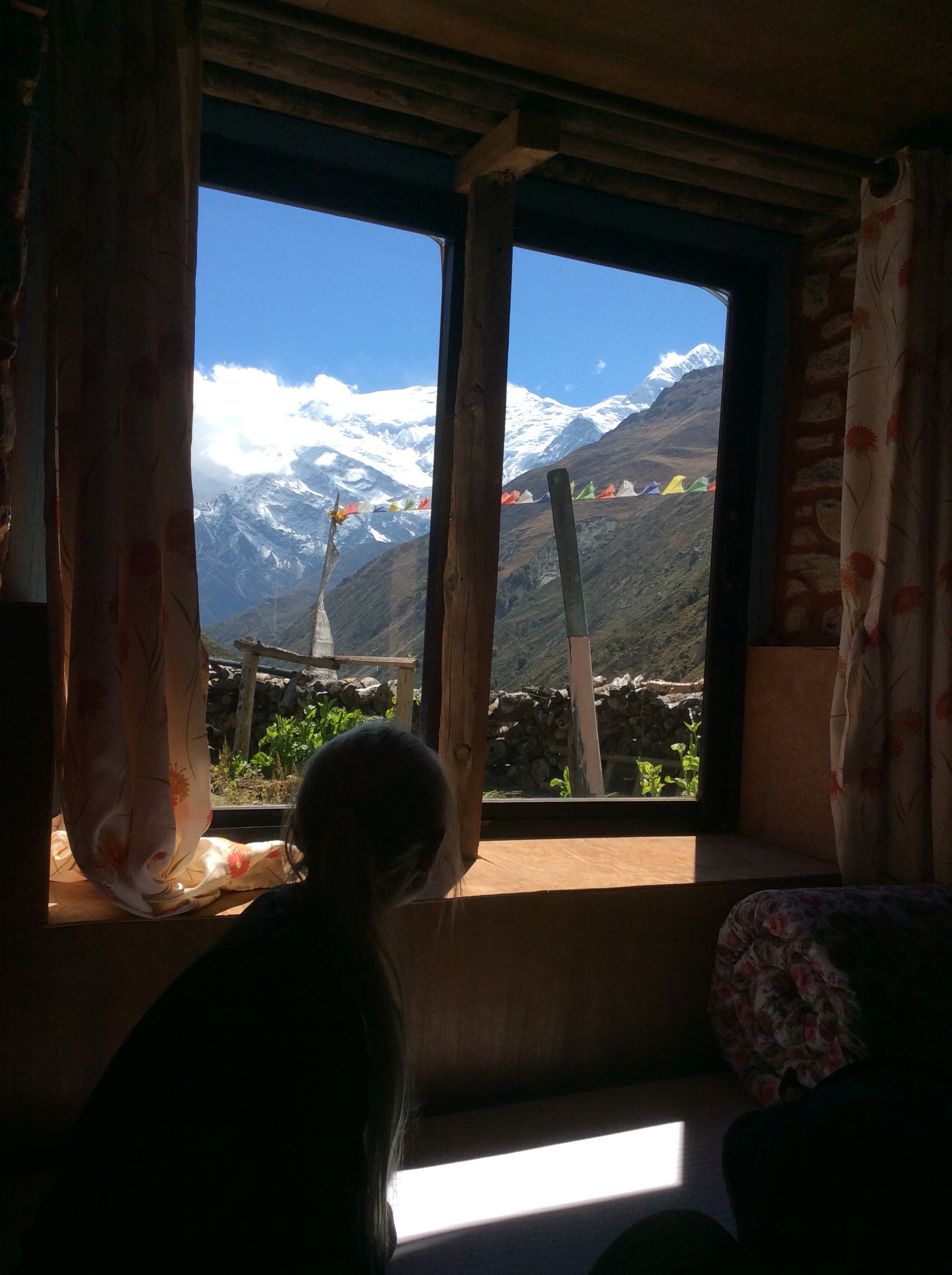
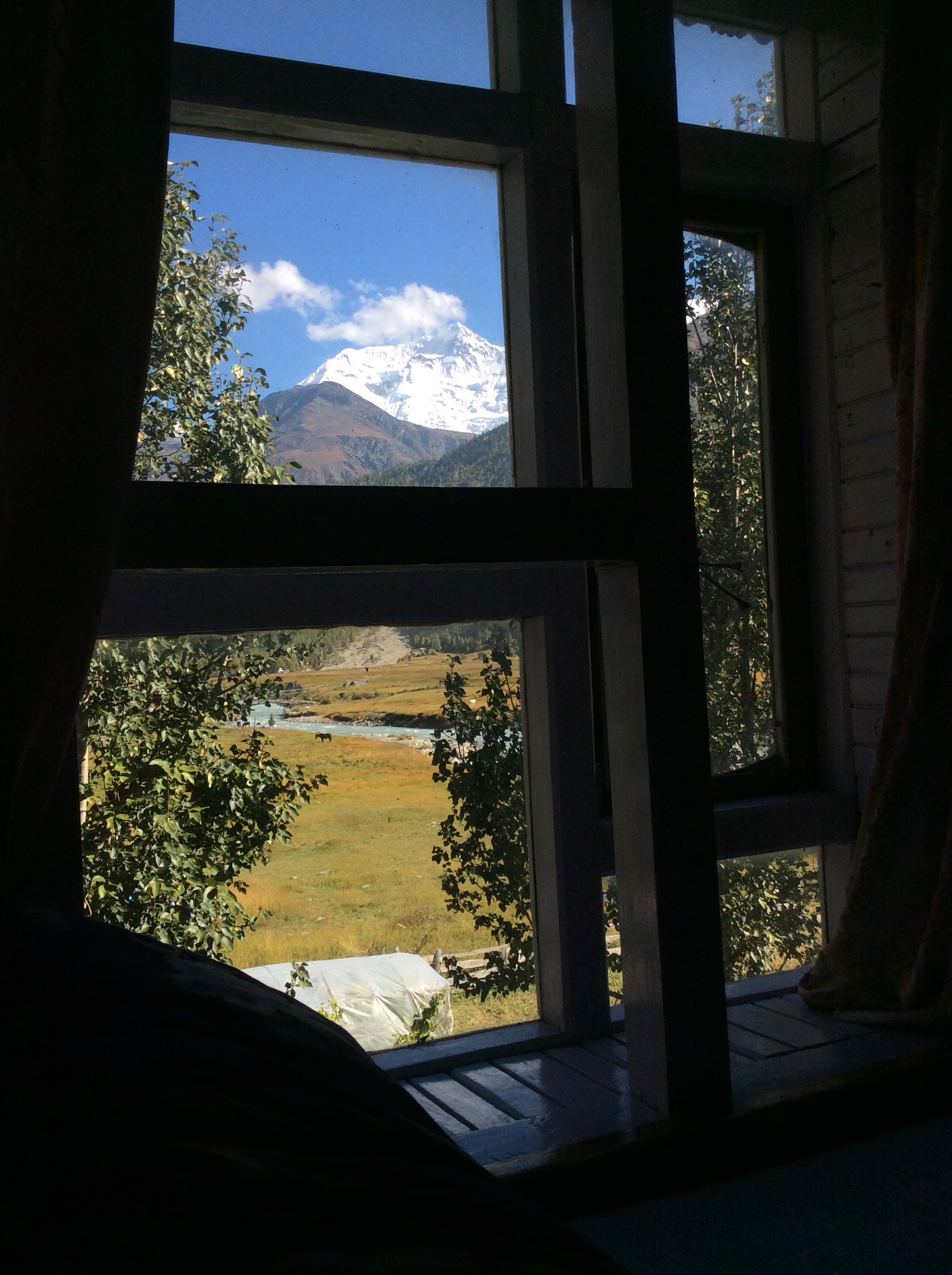
We set off at 9am and started the downhill route to Kagbeni, with the views from the guest house outstanding.
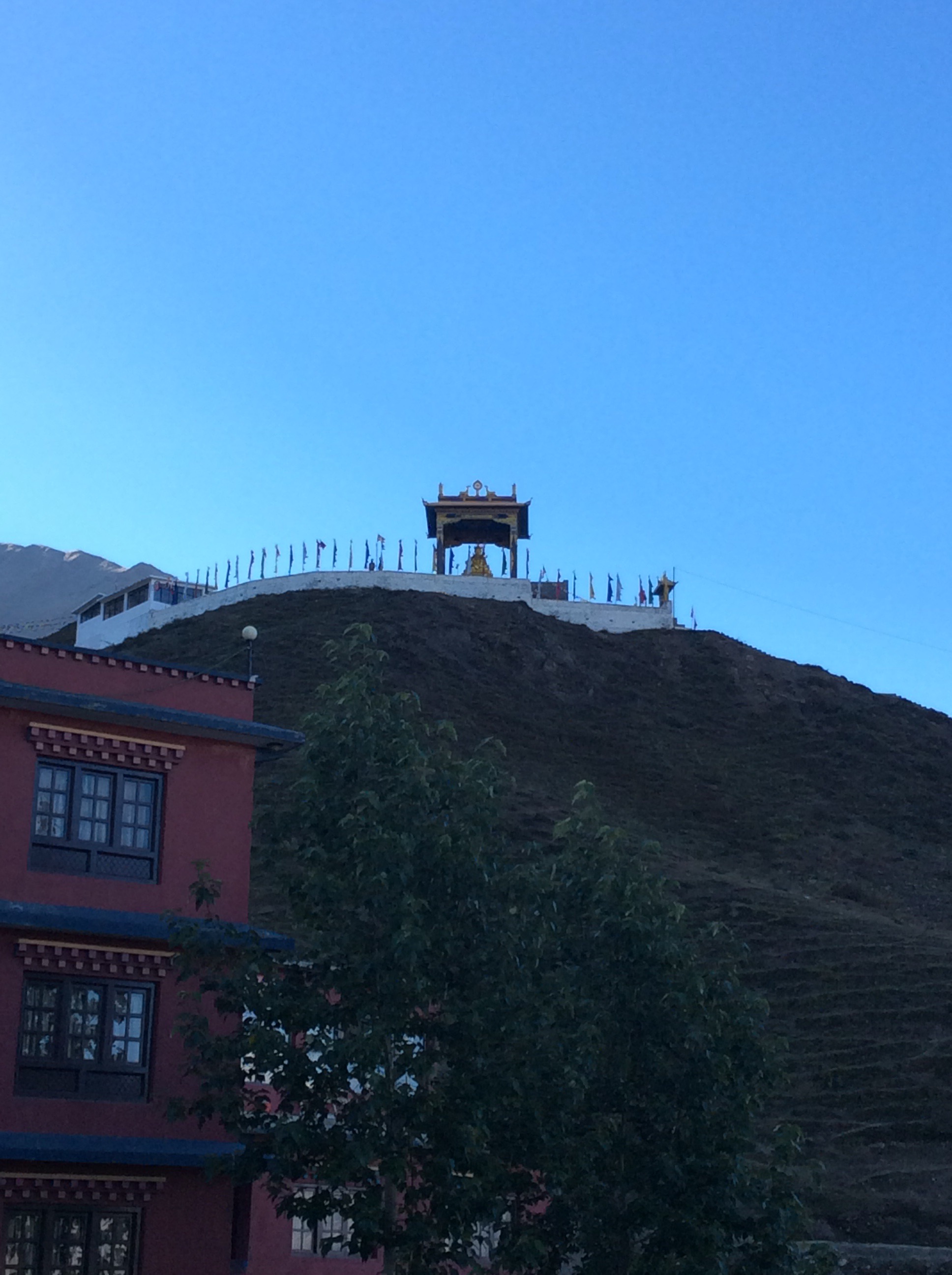
Above the village a Buddhist shrine stood out majestically against the blue sky. Odd that this village is a very holy place for Hindus but the locals are all Buddhists.
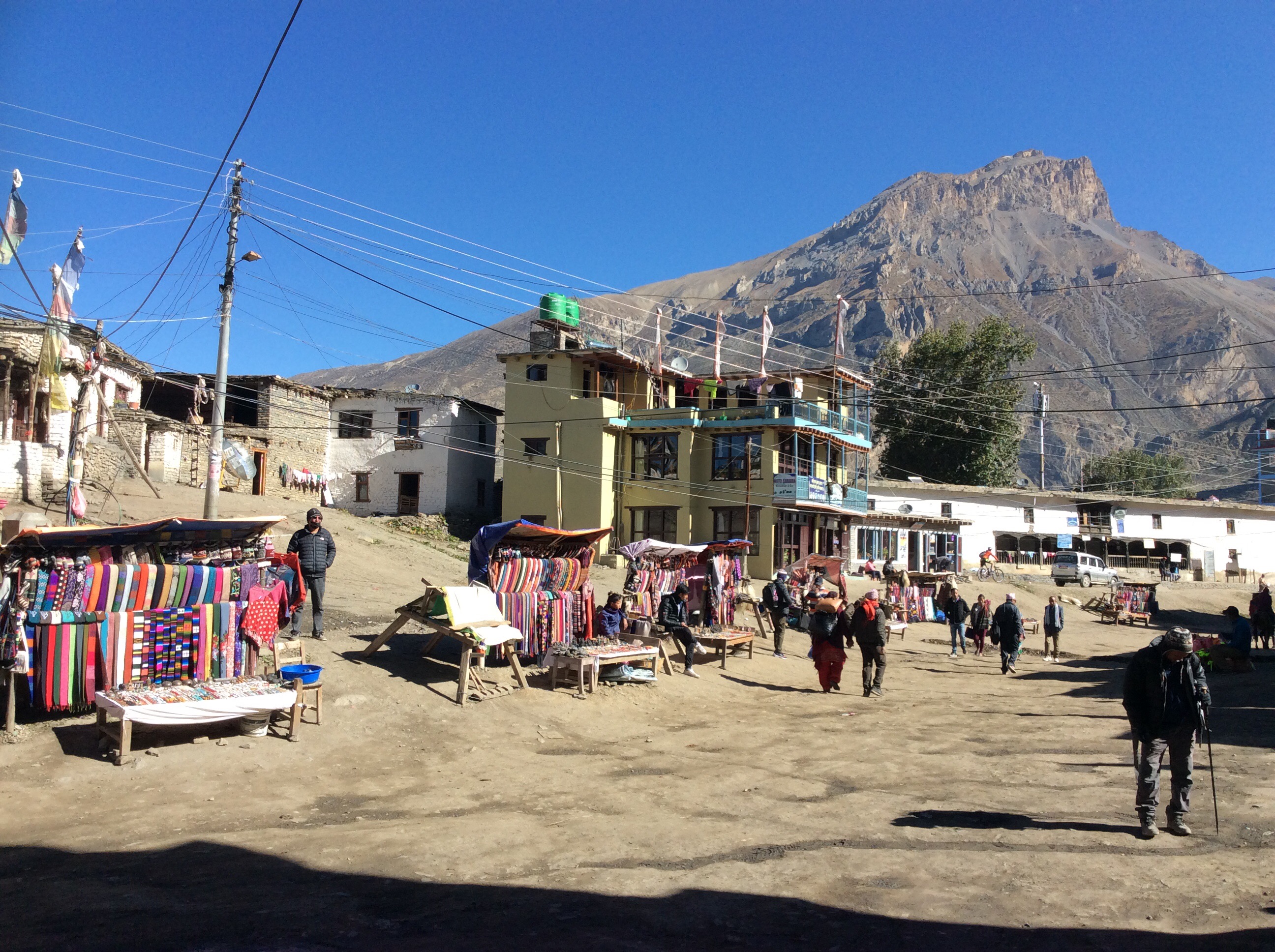
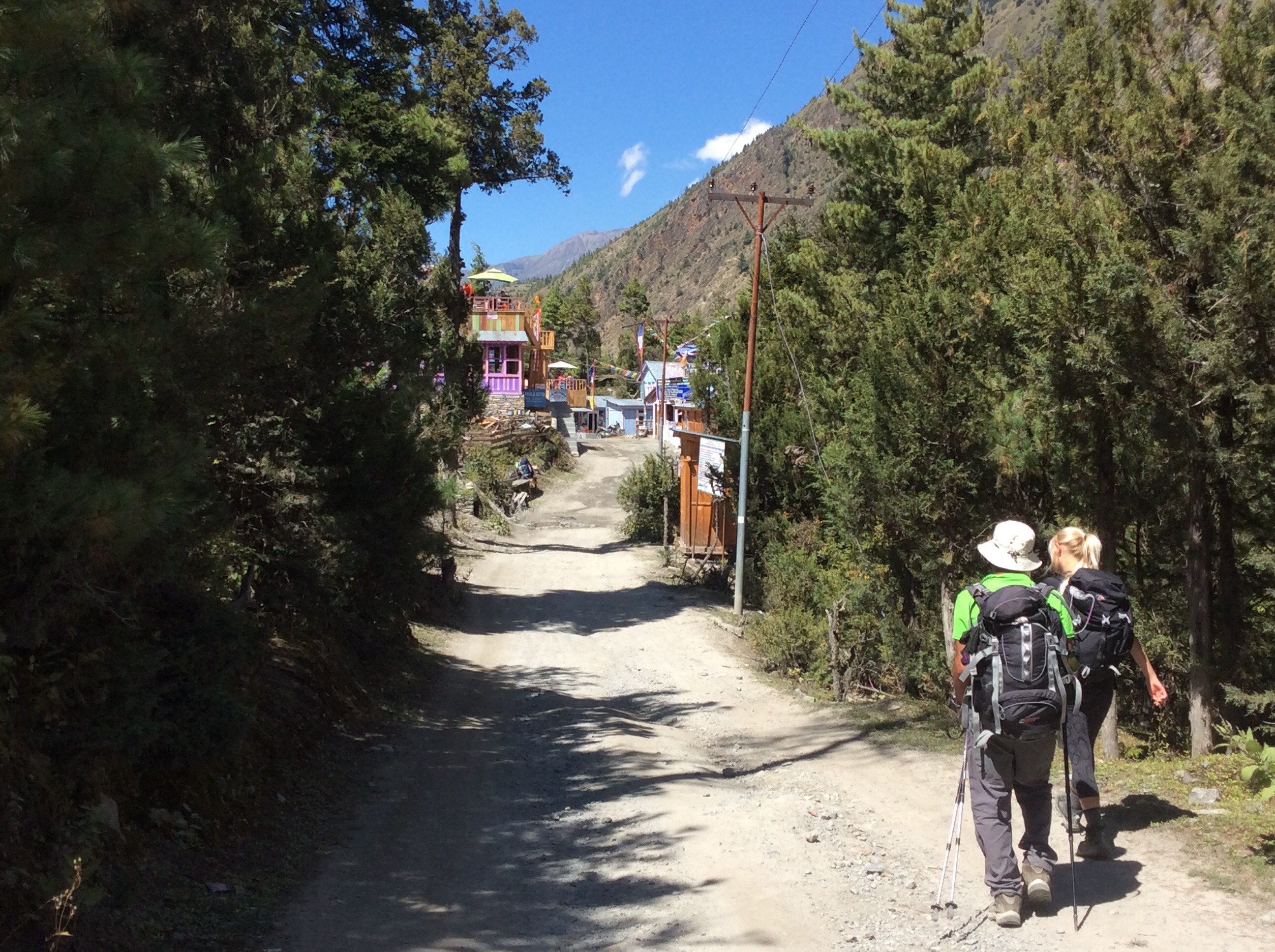
The village itself is starting to develop in recognition of its religious status and popularity, but is still a two star town and we haven’t given up on breaking out of it (thanks Brandon).
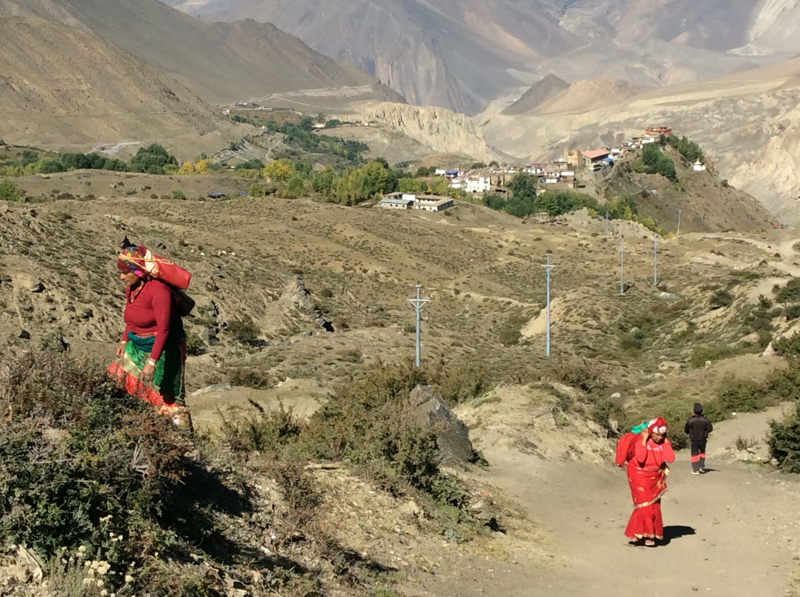
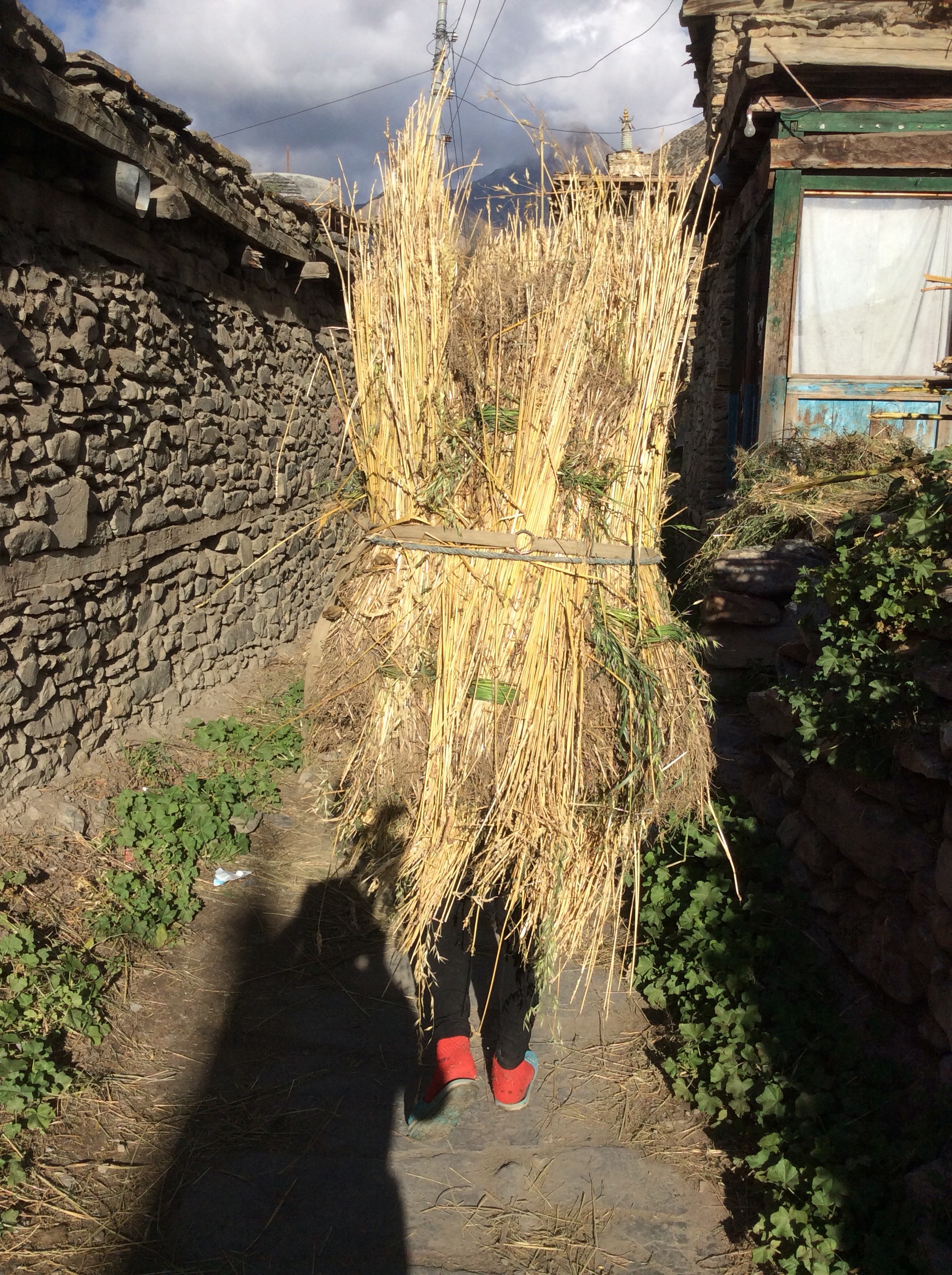
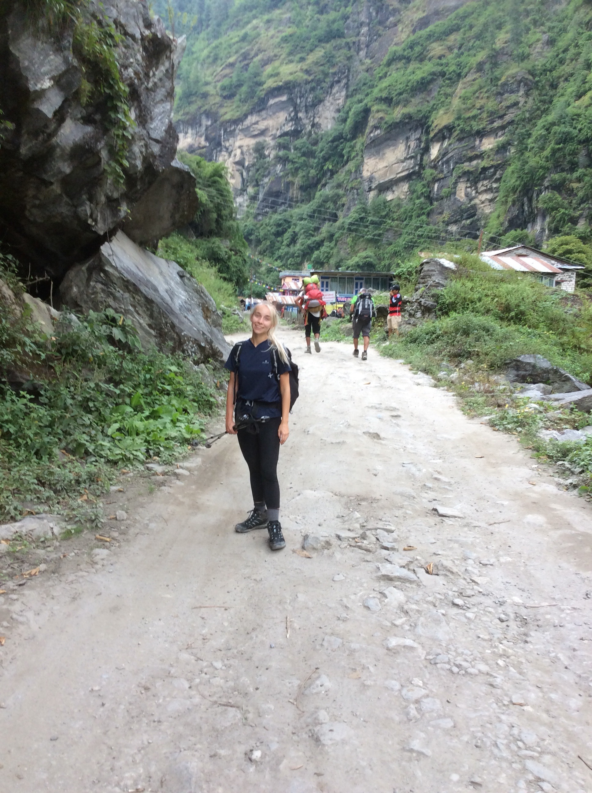
The road up to the village was recently rebuilt and ended just outside in an impressive car park, full of buses and jeeps. As we worked our way down dozens more vehicles, full of pilgrims, comen from the valley, all hot. So we are on the downhill path, with women carrying bags of rice back home, coming the other way.
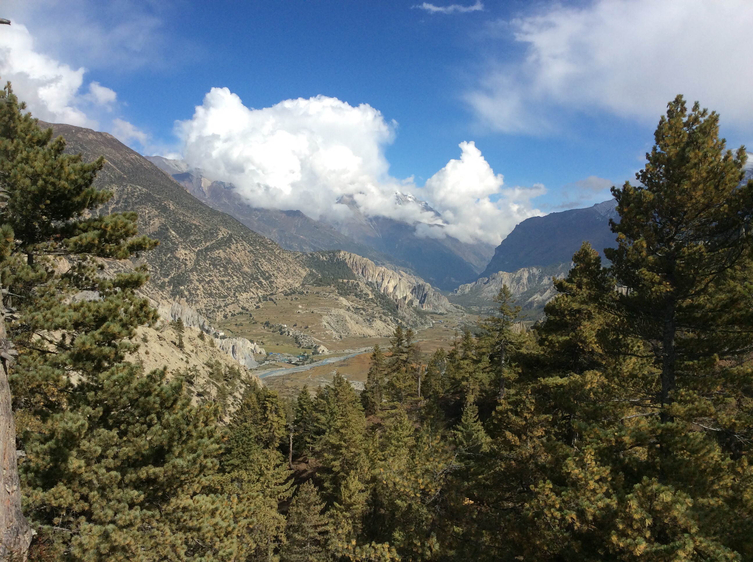
Partway down to the next village the valley opened up to the right with a vision of Shangri -La.
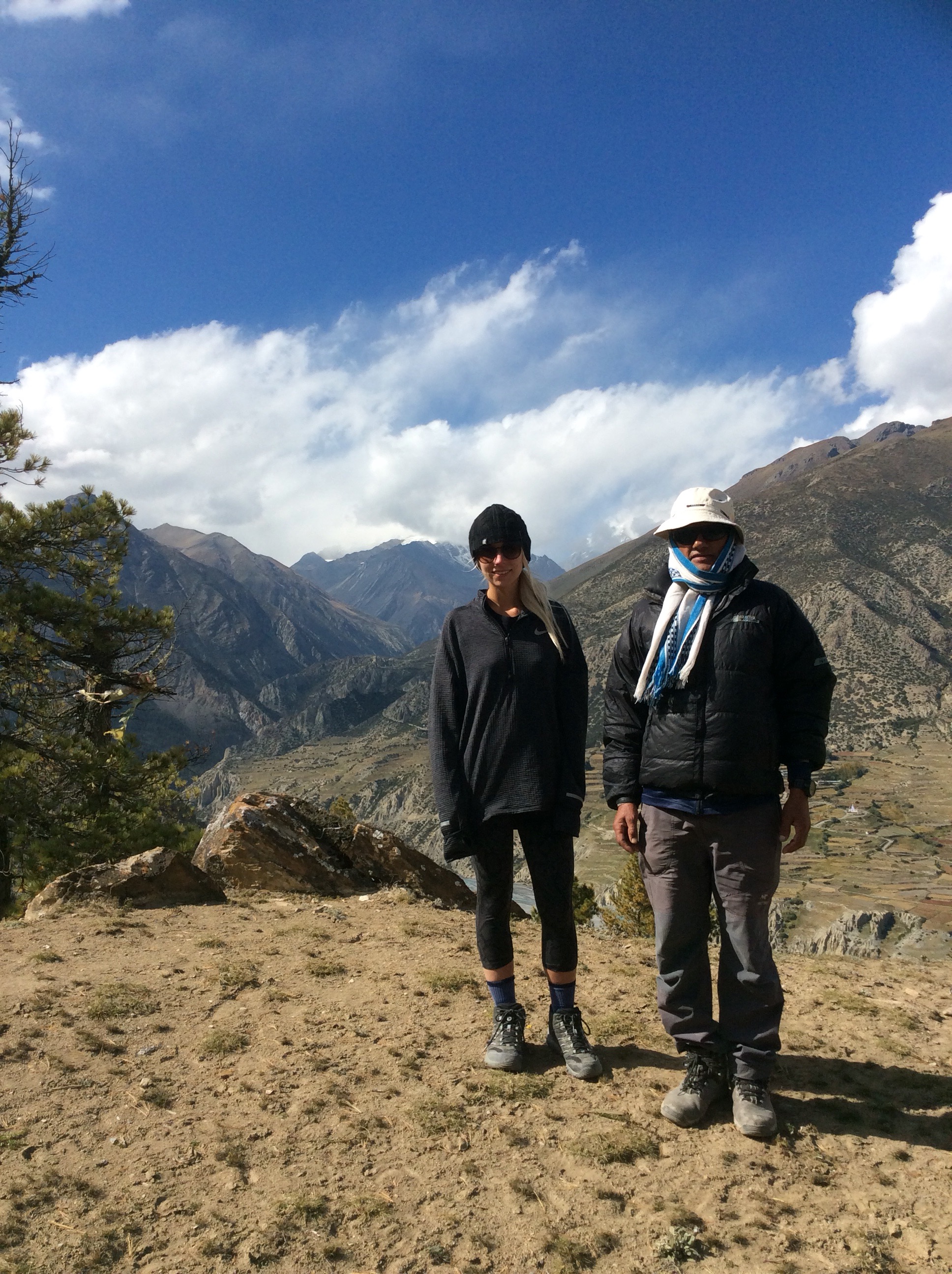
The weather was fantastic for walking. Warm and sunny with a pleasant breeze. It lightened the heart. And I couldn’t resist a pose with my mate Sulis.
Ever wondered what marigolds look like with apple trees in the Himalayas. Beautiful.

Looking forward down the mountain was the next mountain range, the Dhaulagiri massif (or something like that).
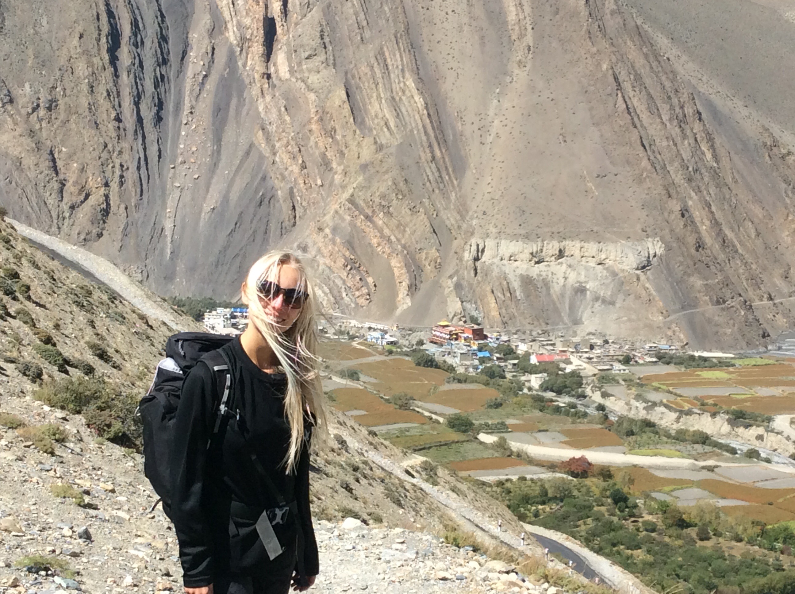
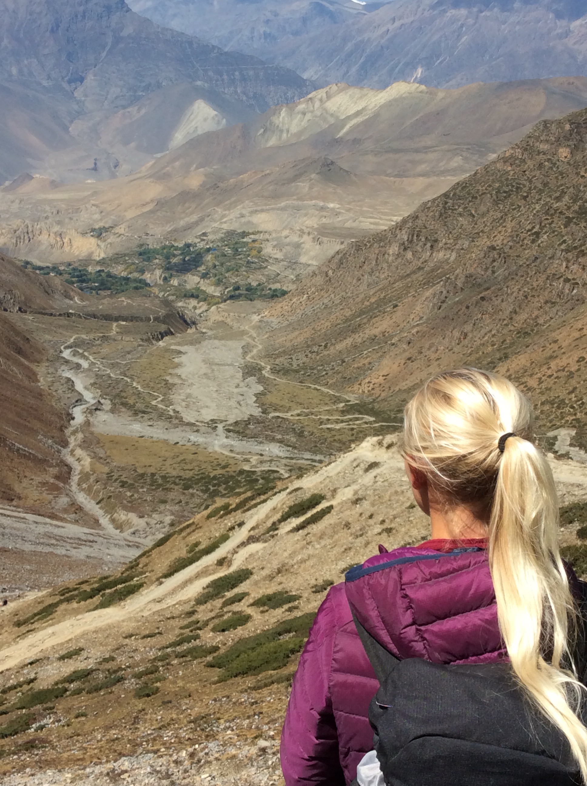
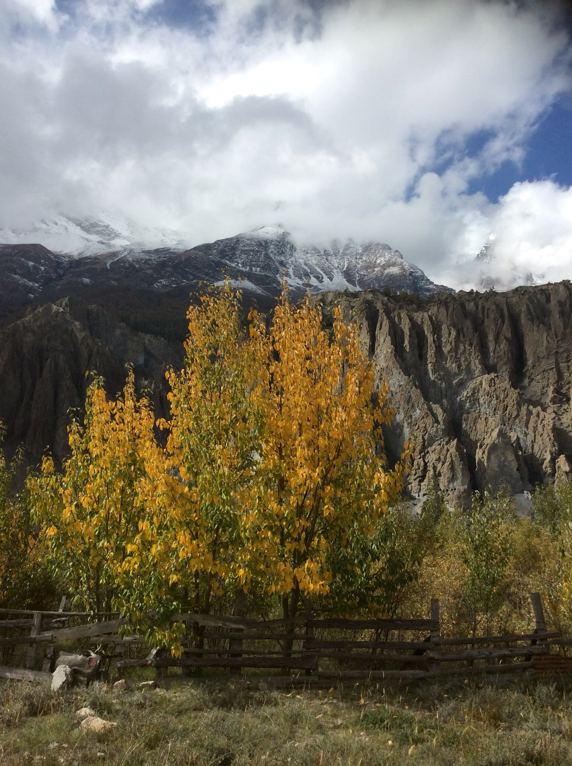
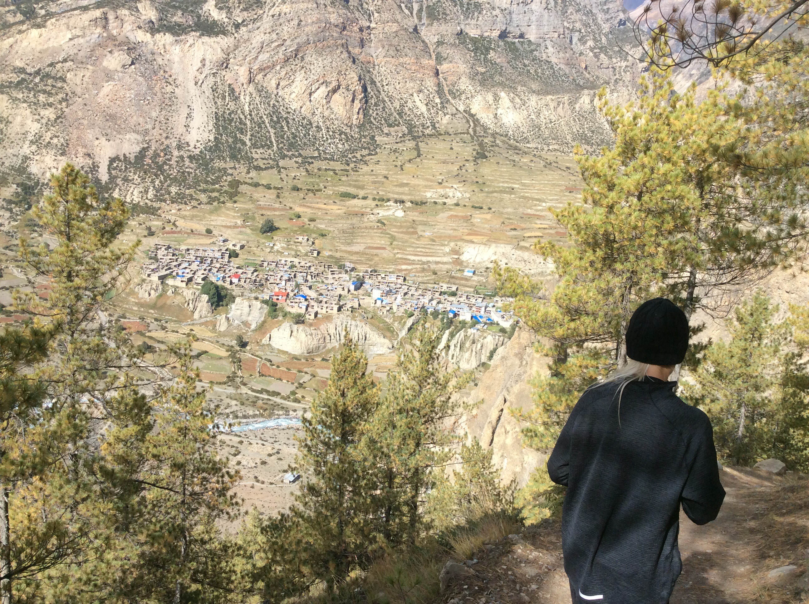
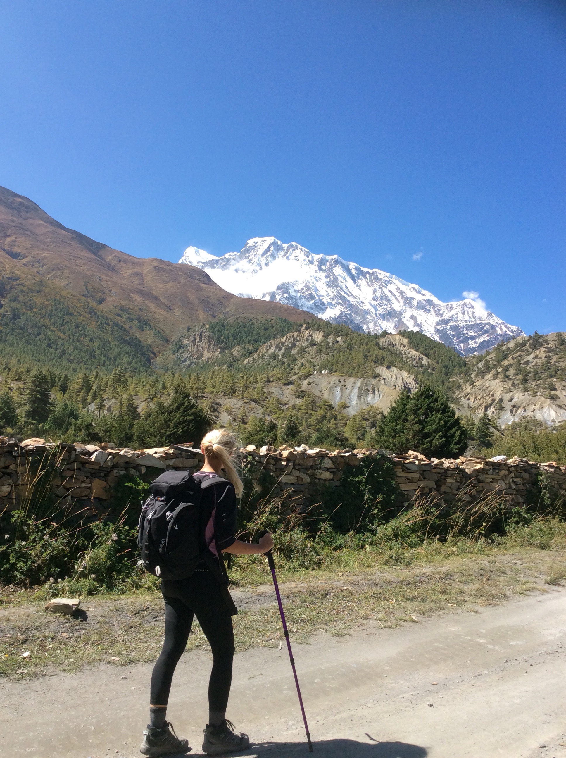
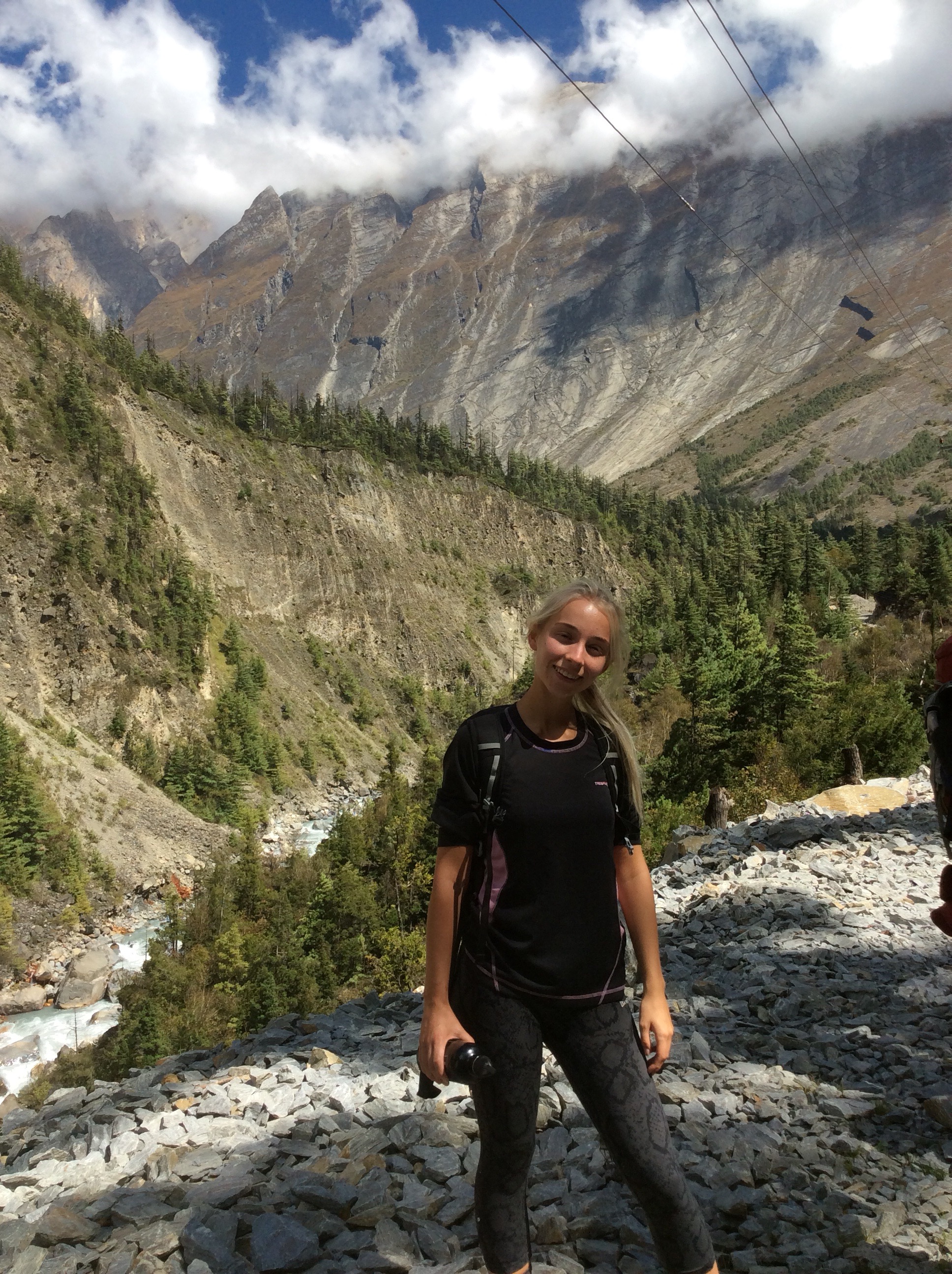
And dropping down further we caught a good view of Jet, with Kagbeni being a side show behind.
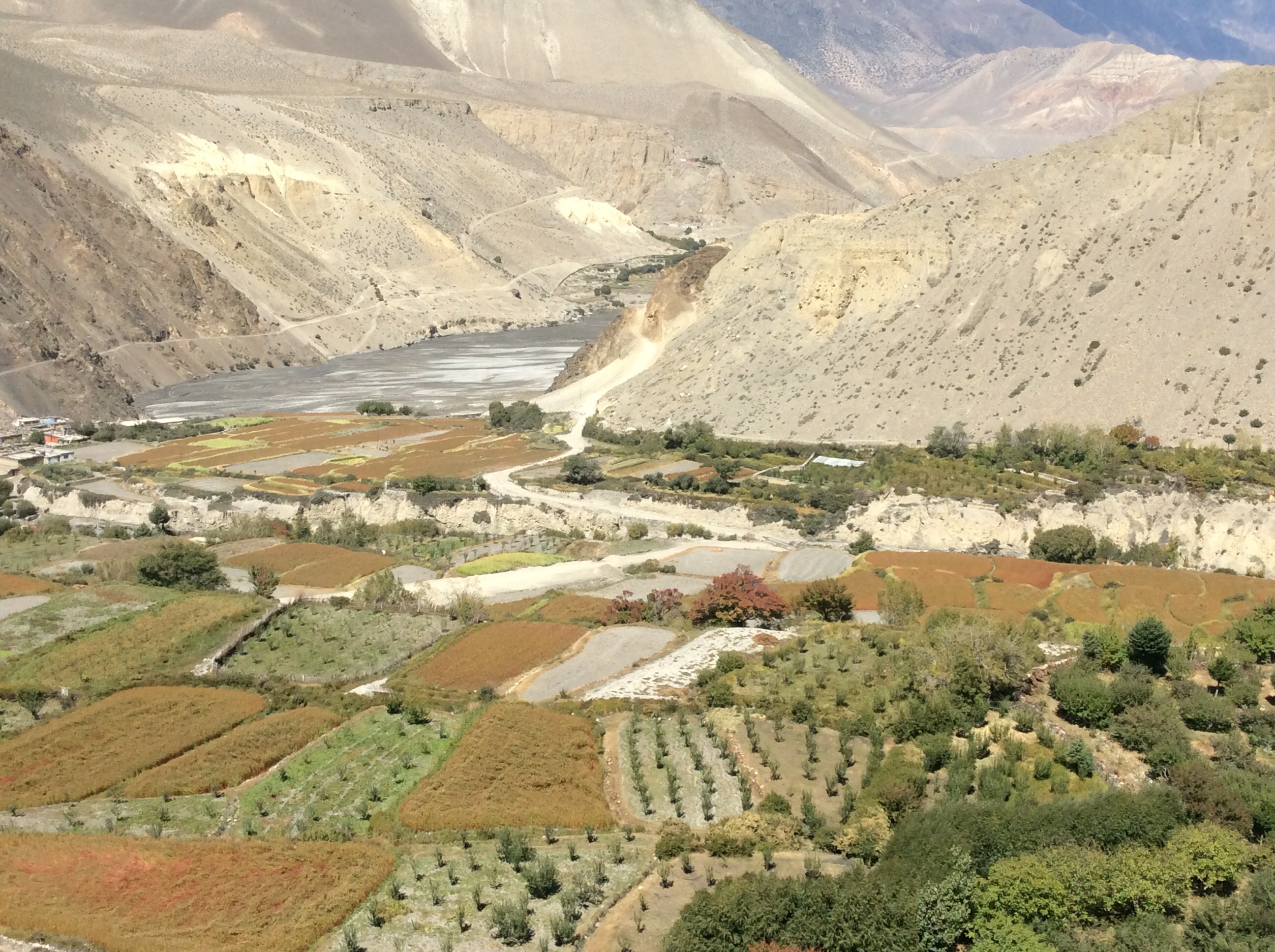
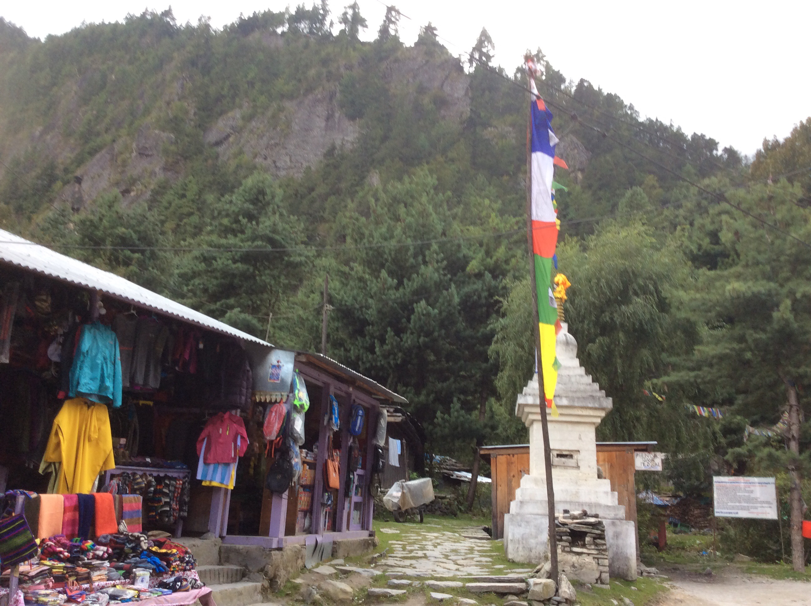
Most villages have a big slice of self-sufficiency, necessary before connection by track to the outside world. And Kagbeni has this market garden next to it.
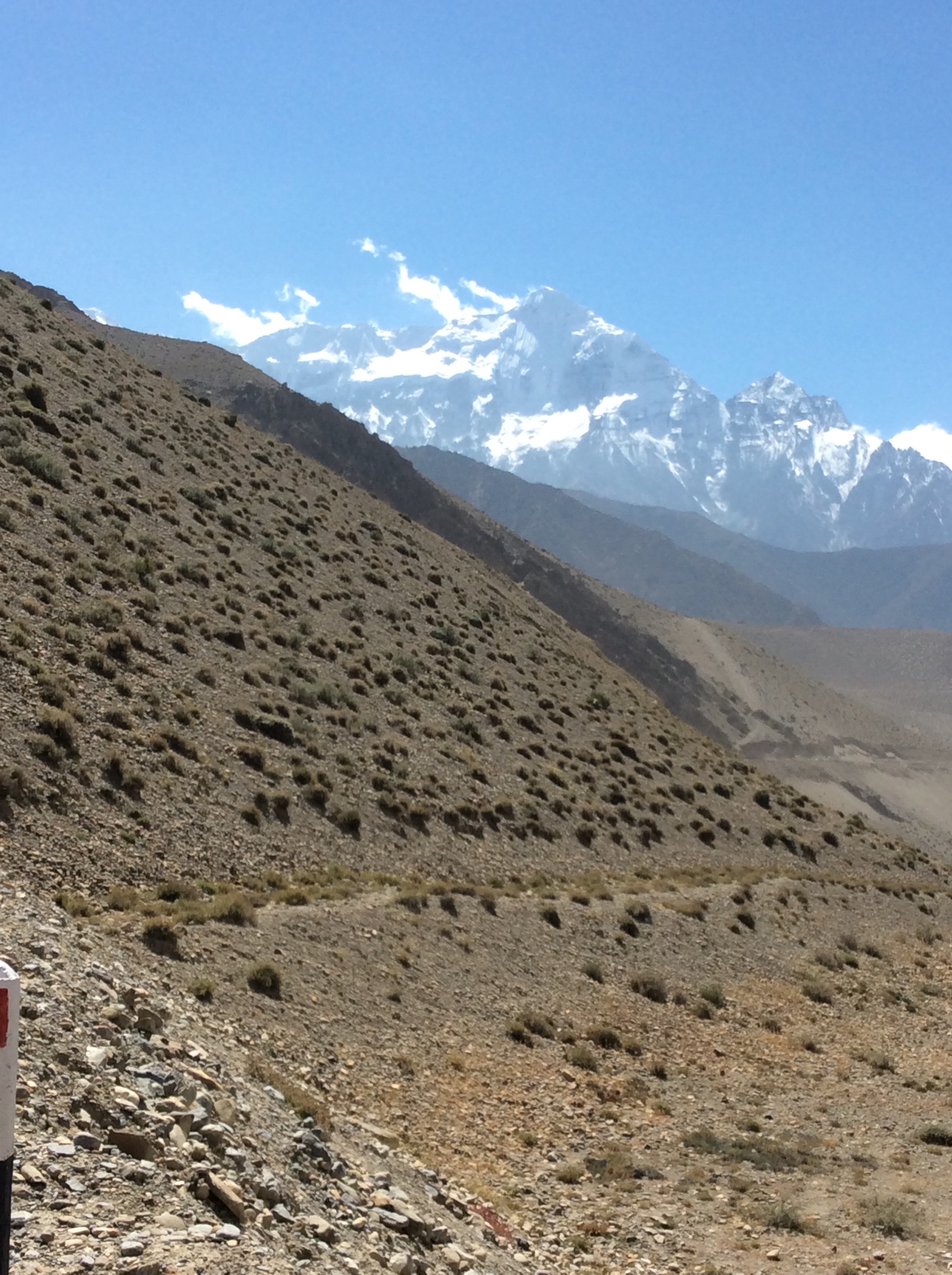
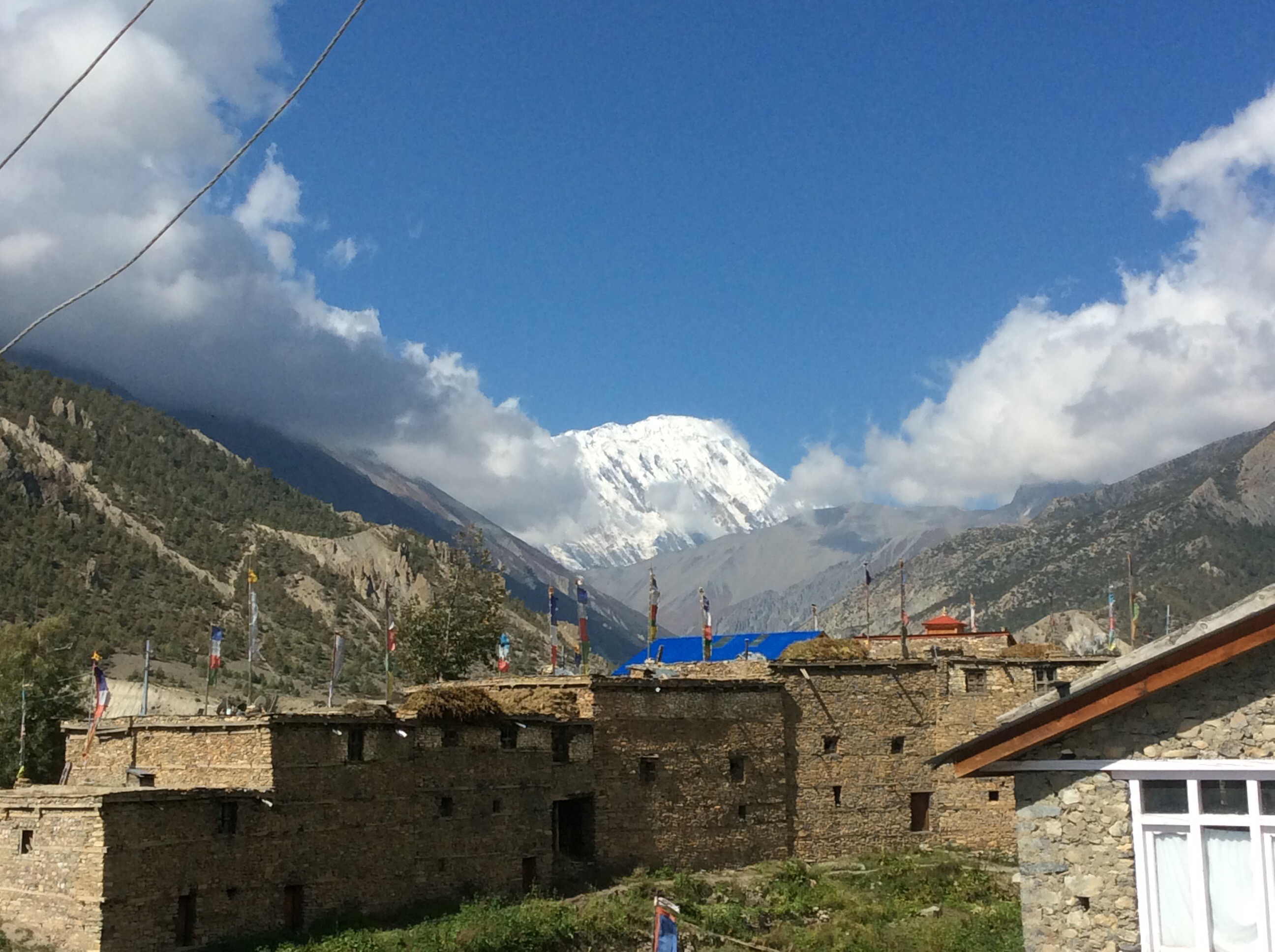
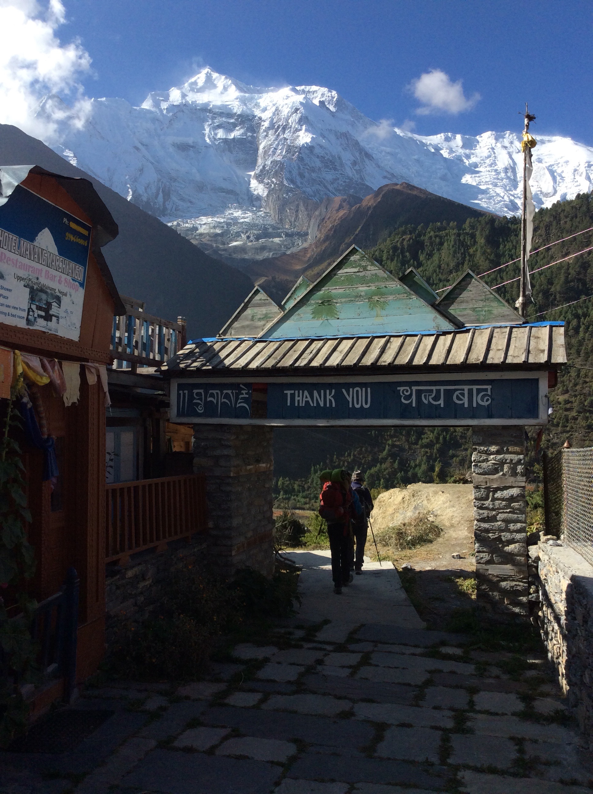
As we came down to the village the northwestern most peaks of the Annapurna range appeared to our left.
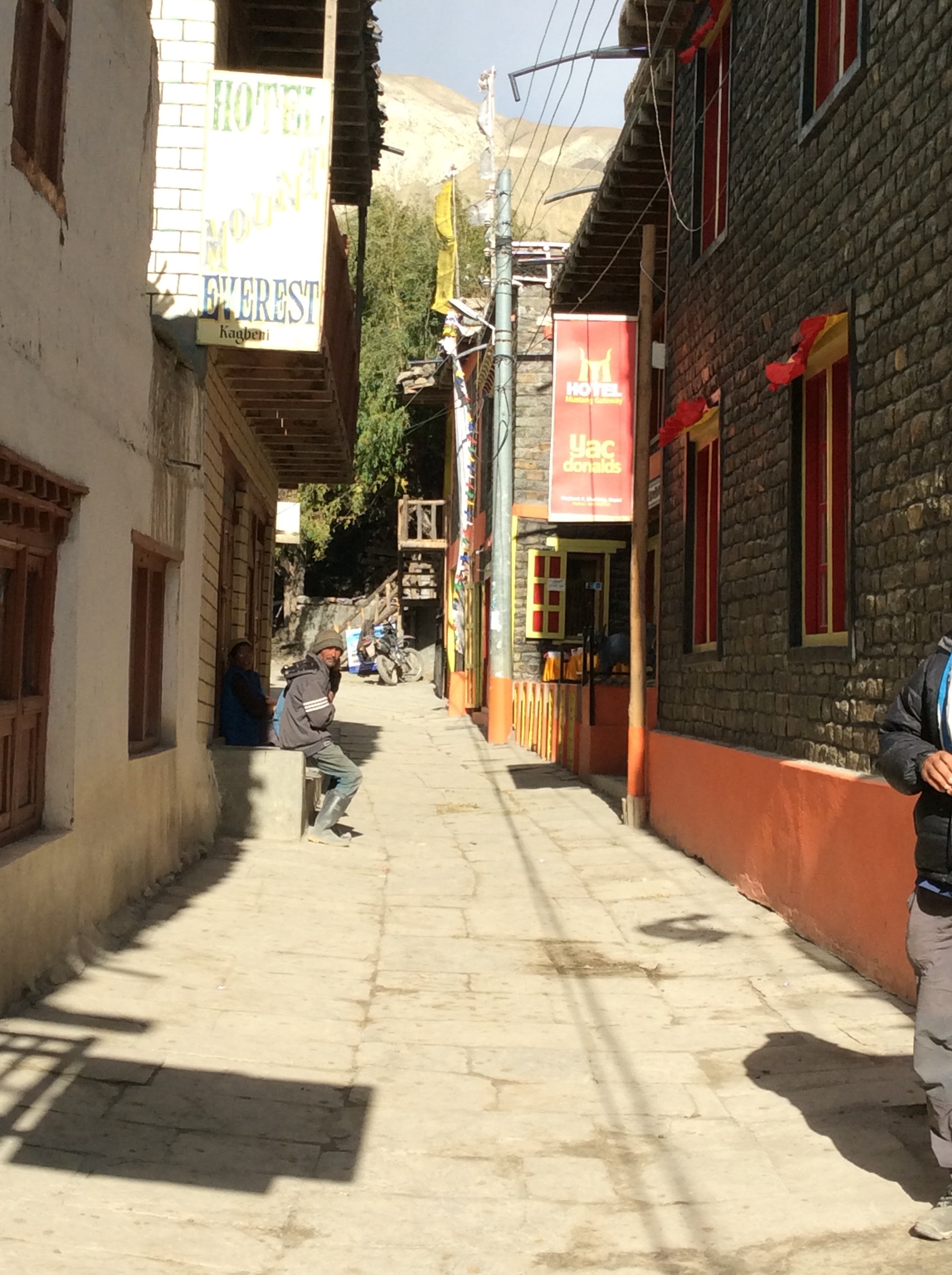
We checked in to our guest house, had a great lunch and then roamed around the village. Fancy a Yaccy D?
This is the start of the Upper Mustang valley which works its way towards Mongolia.
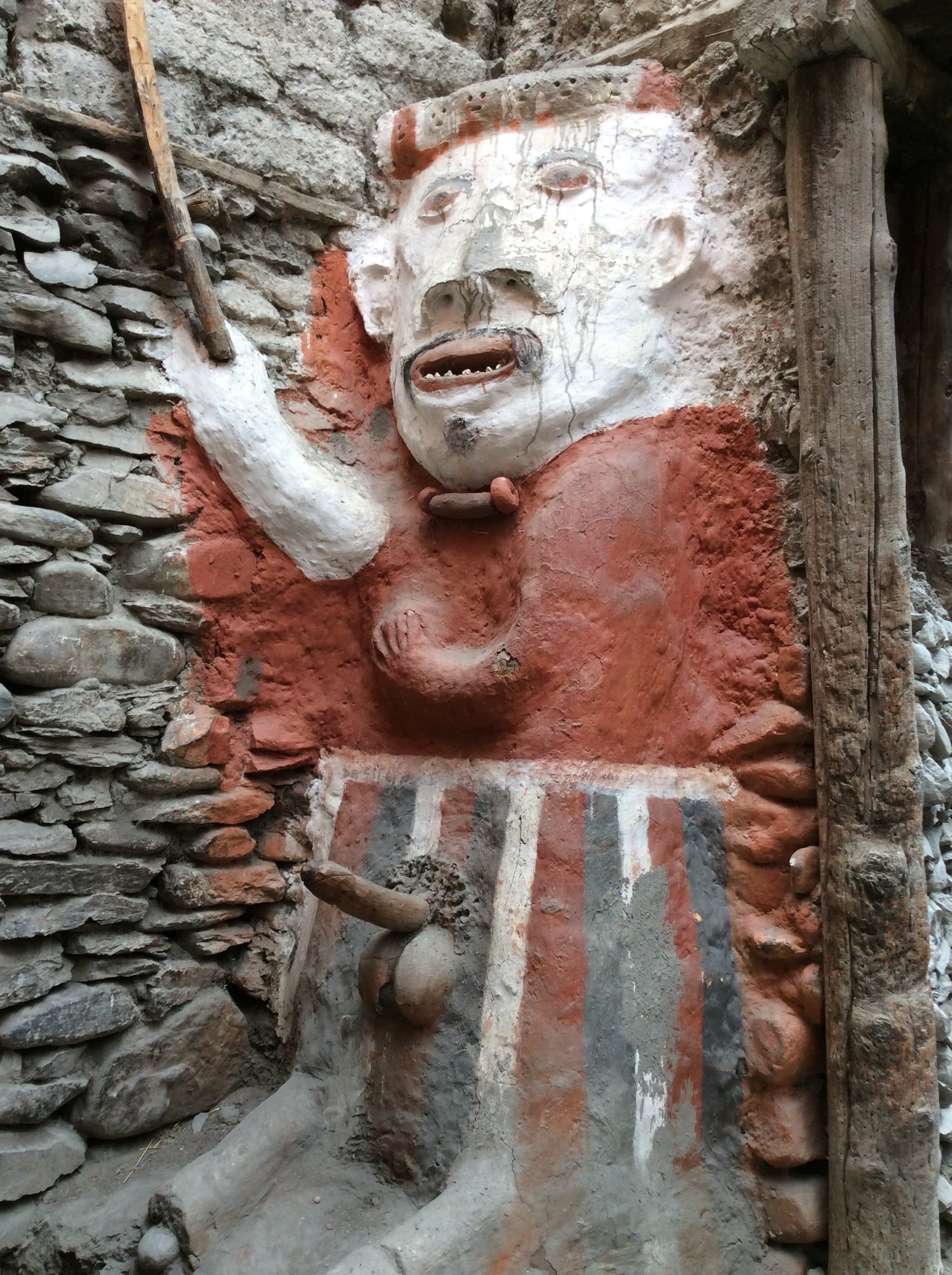
The village was plagued by ghosts many years ago and the locals put up statues to scare them away. Apparently it worked. Must have put the willies up them.
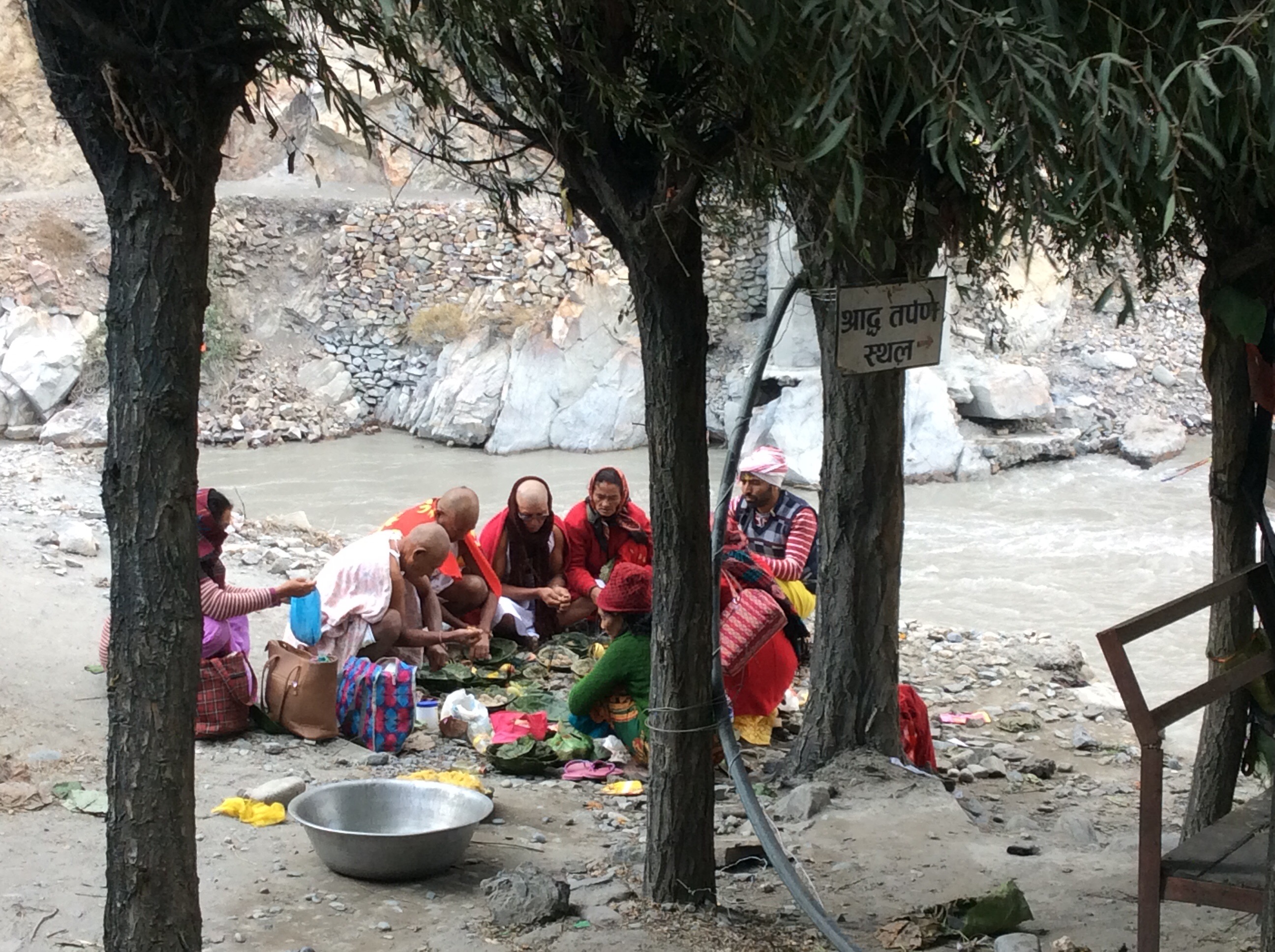
The river that runs past the village becomes the Ganges and is the holy river. Pilgrims to Muktinath stay here en route and undergo death ceremonies where they pay tribute, with holy men, to their deceased relatives. This photo was taken after the guide (a Hindu himself) confirmed that it would not be irreverential. This is a death ceremony.
Back to the guest house. Dinner. Sleep.
Night night.
Thorung Phedi to Muktinath – Going up to the Spirit in the Sky (5th blog today)
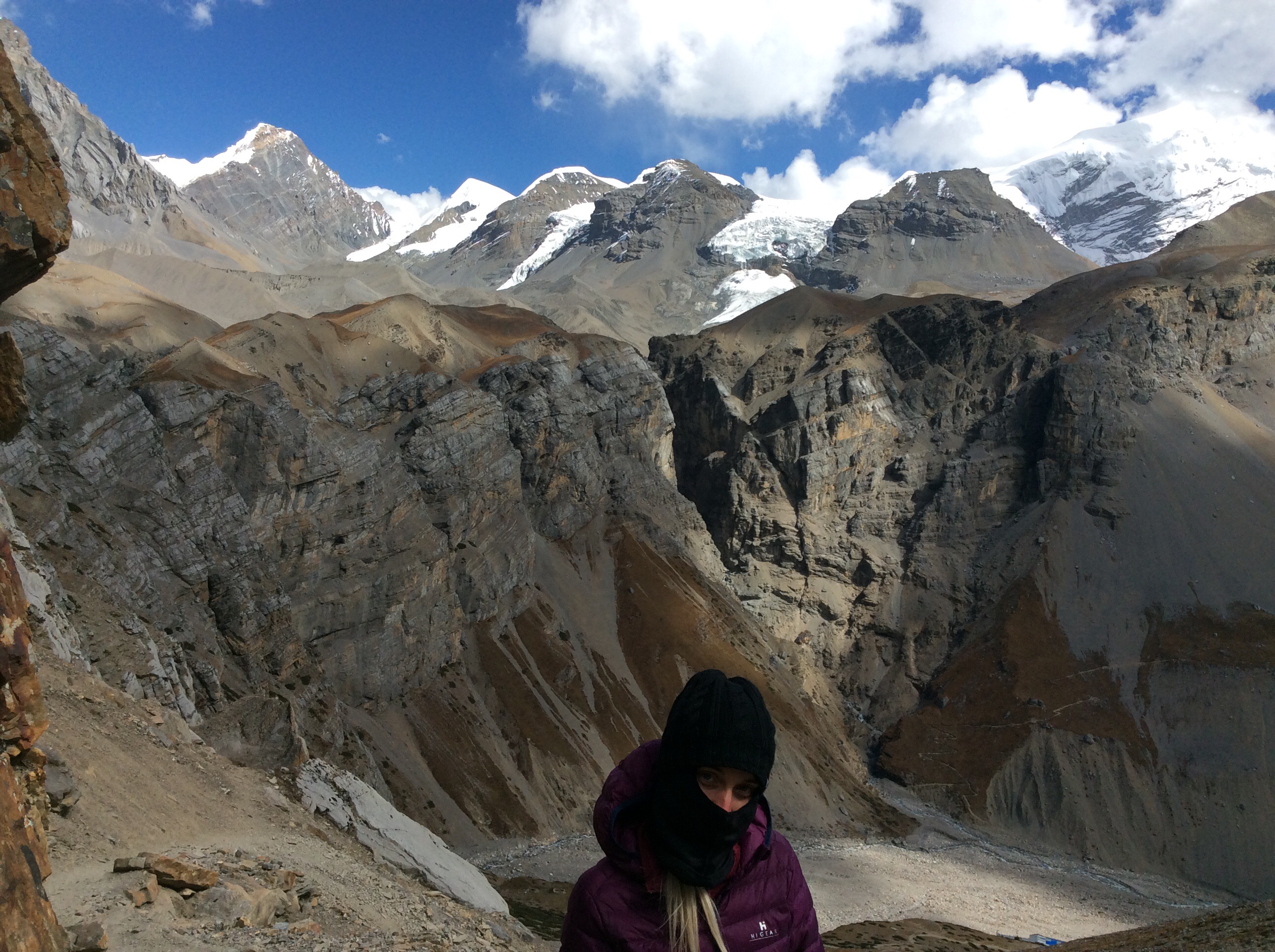
This is the toughest part of the trek and it is a real beast. It’s one you look forward to as it is spectacular, but when the alarm goes at 3.30am and it is very cold outside, you dread it. Knowing that oxygen is disappearing and your guide will only allow 5 minutes at the top in case you succumb to dizziness. Jet already has it! We’ll end up in Muktinath, 5000 feet down in the valley on the other side of the pass. Jet calls it Muckynath.
Cold outside, but in the middle of the night, when I went for a pee, the stars and Milky Way were in my face. Extraordinary. We ate breakfast at 4.20, the Base Camp guest house was busy and late serving us. Away at 4.50 with head torches and dressed in warm clothing, but still in my shorts. Man’s gotta do what a man’s gotta do.
The steep path which we had struggled up yesterday was more difficult in the dark and a trail of head torches wound up the zigzag path above and, eventually, below us. Bells rang coming up the path as struggling horses carried the fat and unfit up to the summit. Then dawn broke as we arrived at the high camp.
Not much grows here, just the odd, hardy herb. The sun crept up onto the peaks. Just follow the flags.
I didn’t think I would make it. My lungs were screaming and I was walking twenty paces and resting to get strength back. We were resting a lot in the wasteland. I offloaded some of my rucksack to Prem and a litre of water to Jet – thank you my dears. The pack was still heavy but it was a bit easier.
The mountains were just shining as the morning wore on.
Jet was refuelling with energy bars but I was feeling nauseous and could only manage small swigs of water.
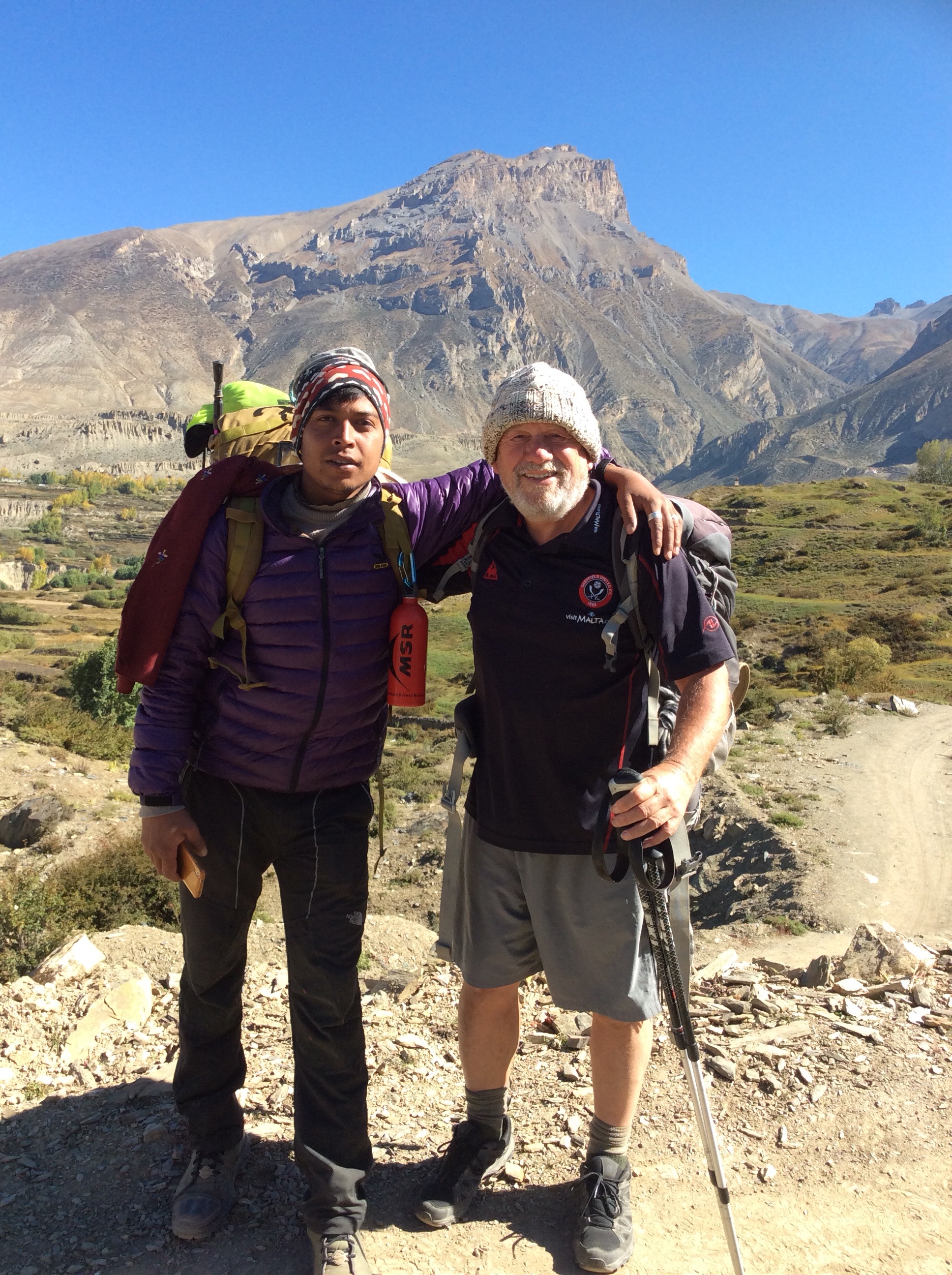
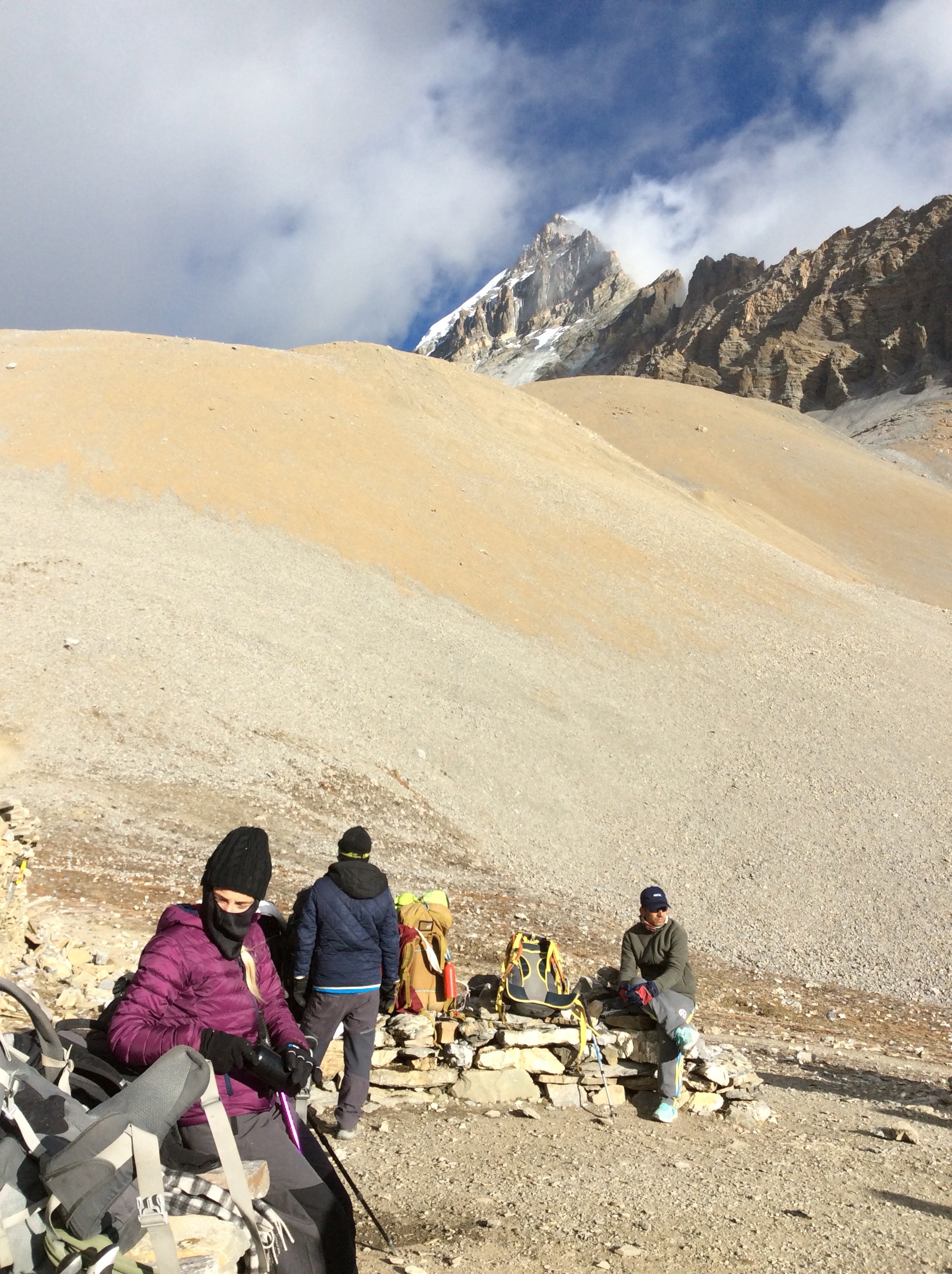
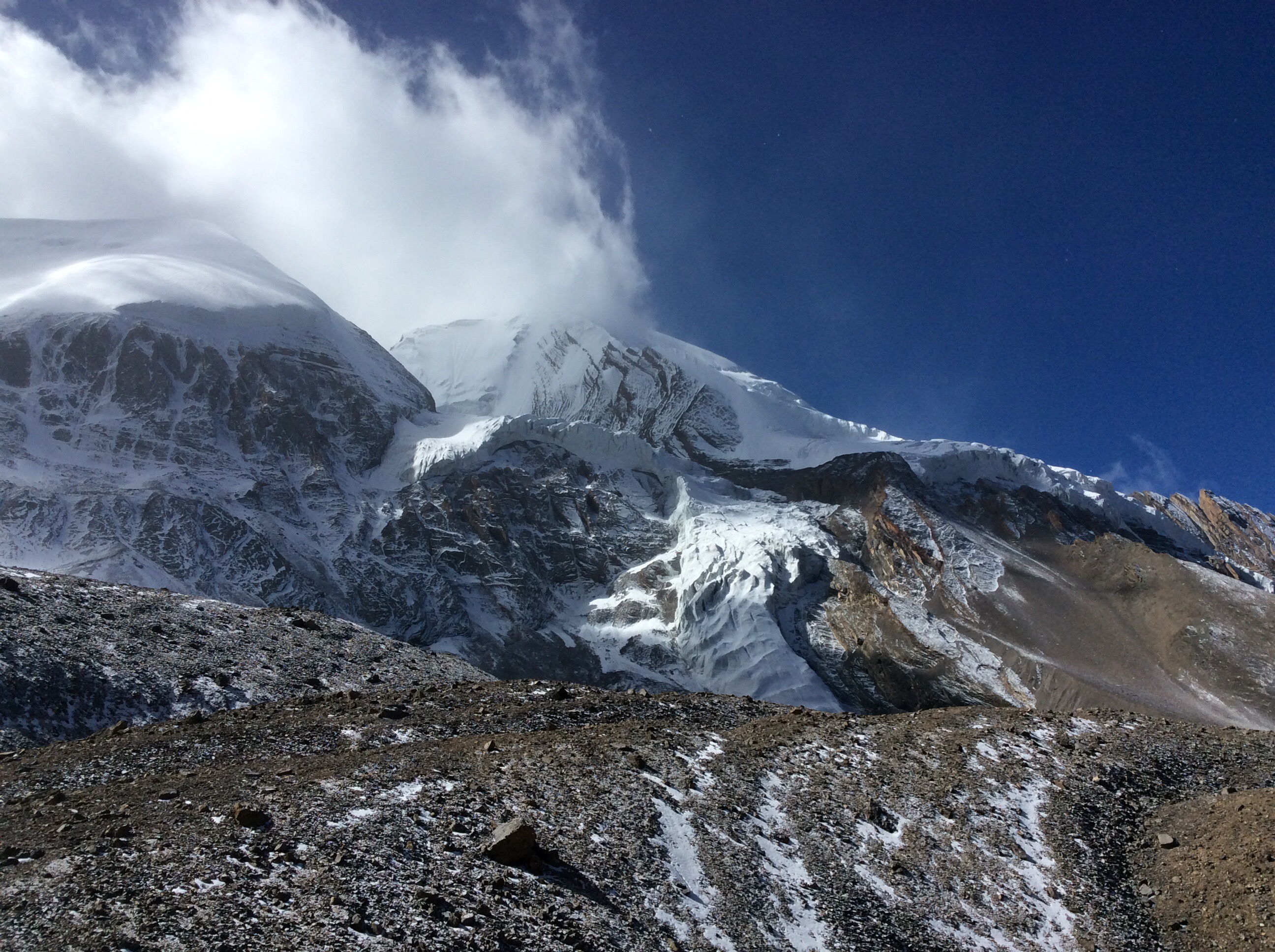
After nearly four hours of pain I started to walk without stopping that much and realised that I wasn’t far from the top. After a while I looked back and Jet, Prem and Sulis were a way down the valley. I’d speeded up and I carried on. Four and a quarter hours after setting off from Base Camp Thorung Phedi the summit was suddenly in front of me. Thirty metres away. The emotion, euphoria and relief came in a wave. The team came up and we had 5 minutes to take photos and celebrate.

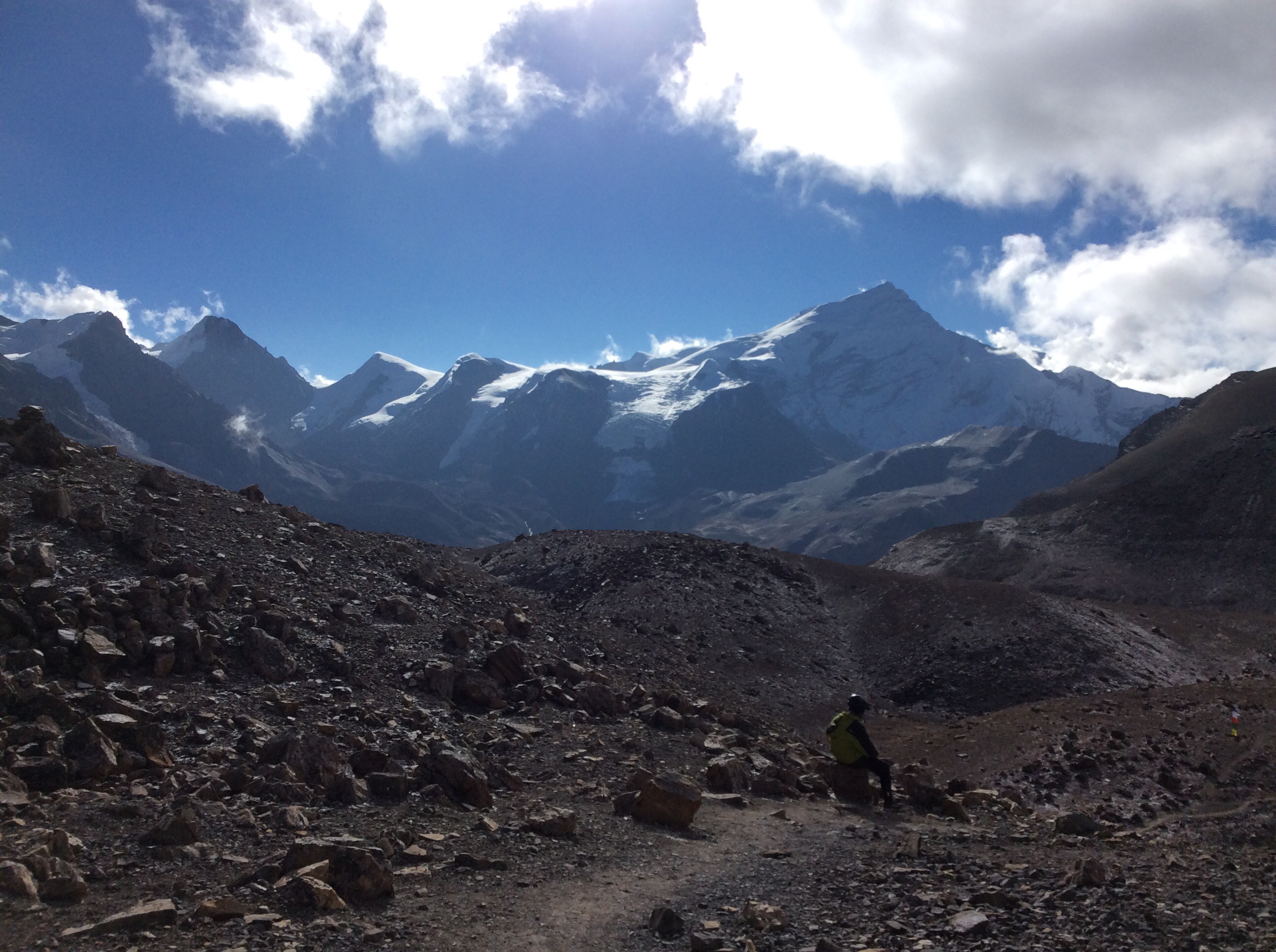
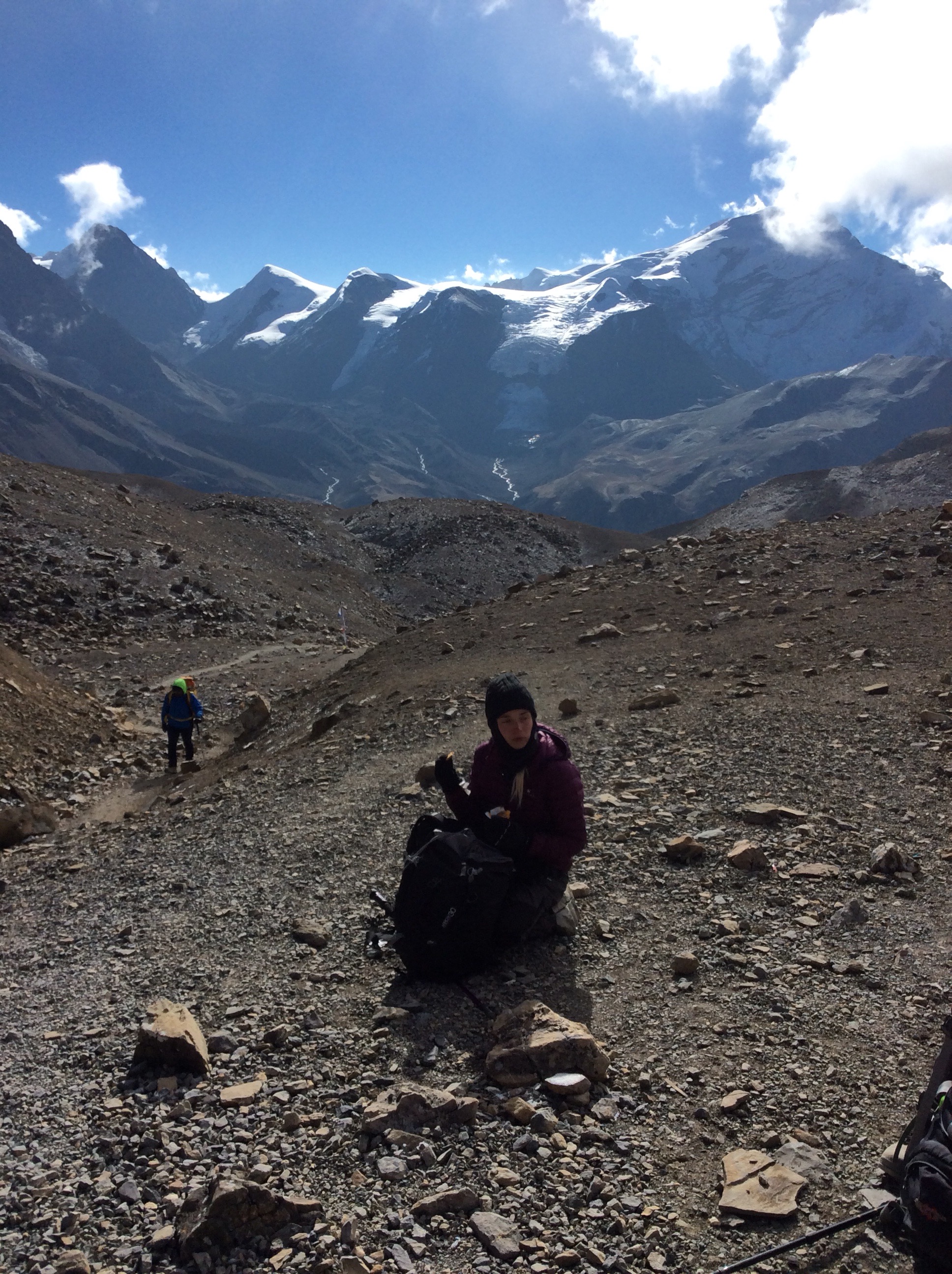
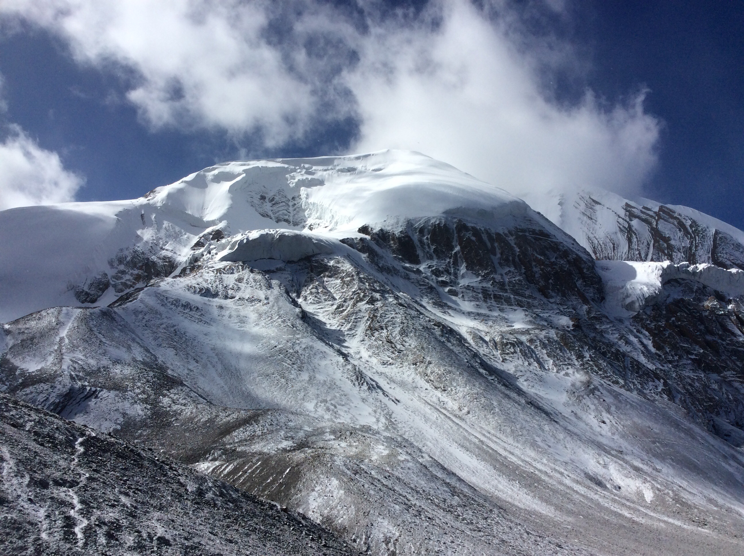
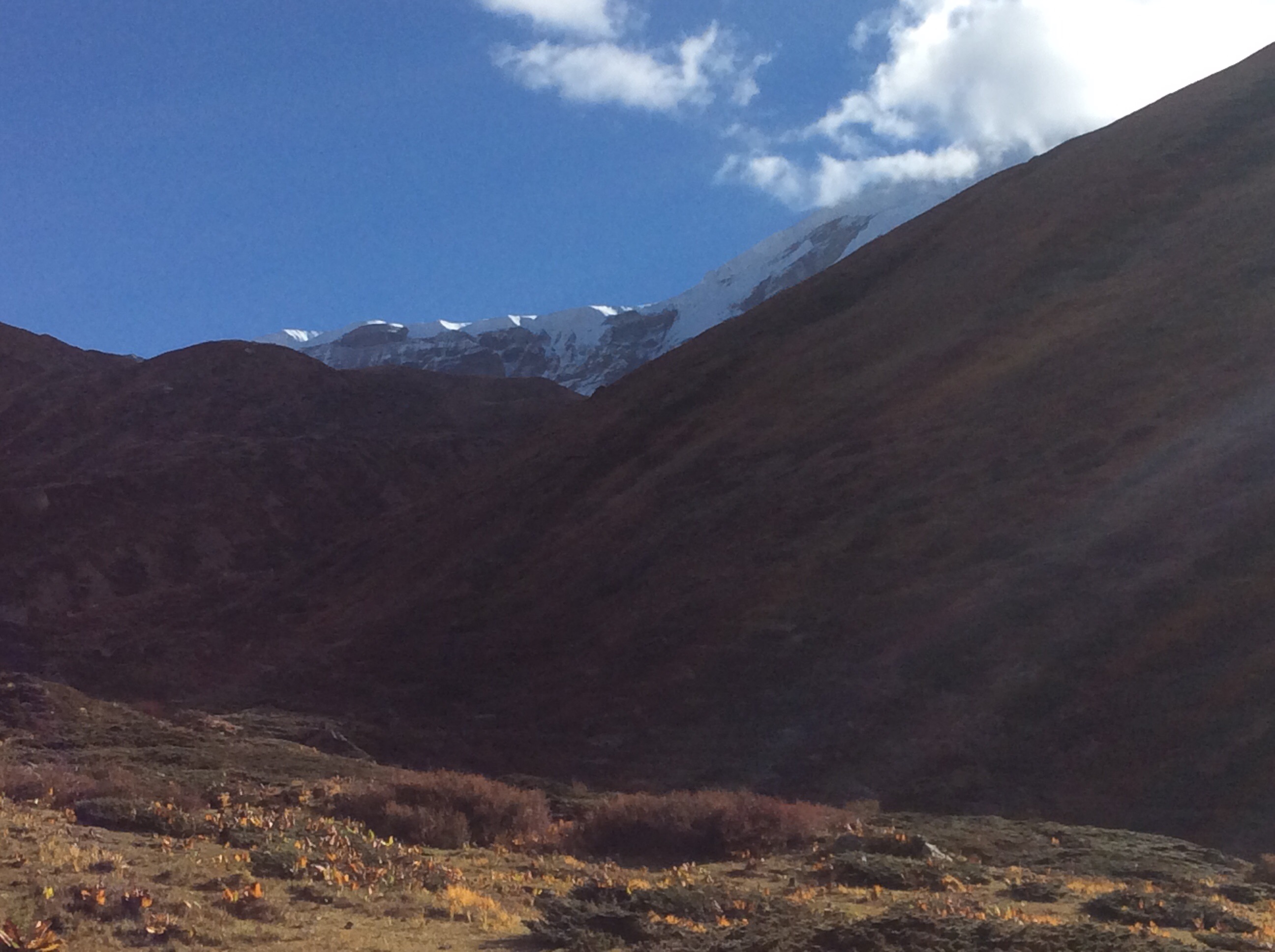
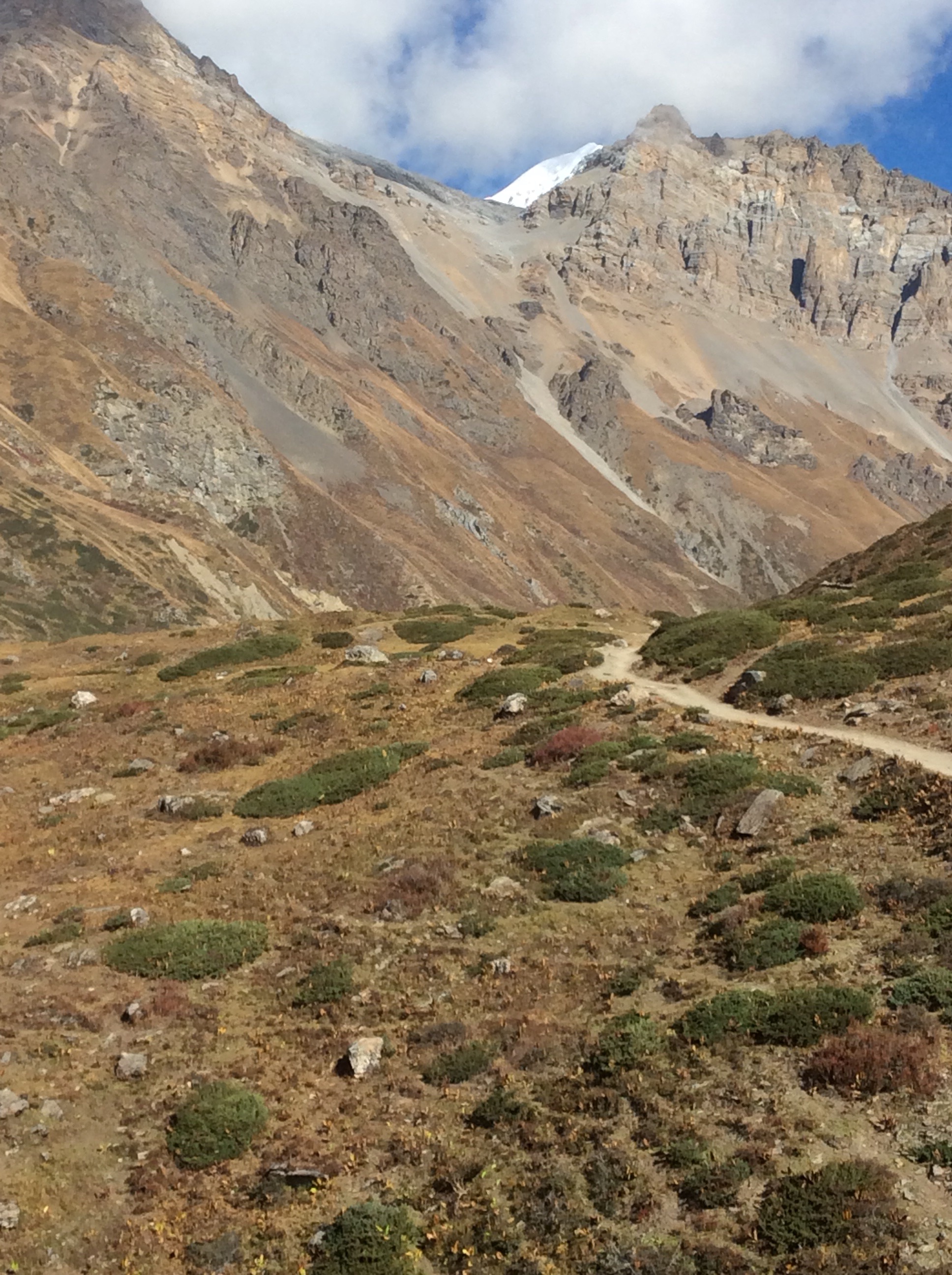
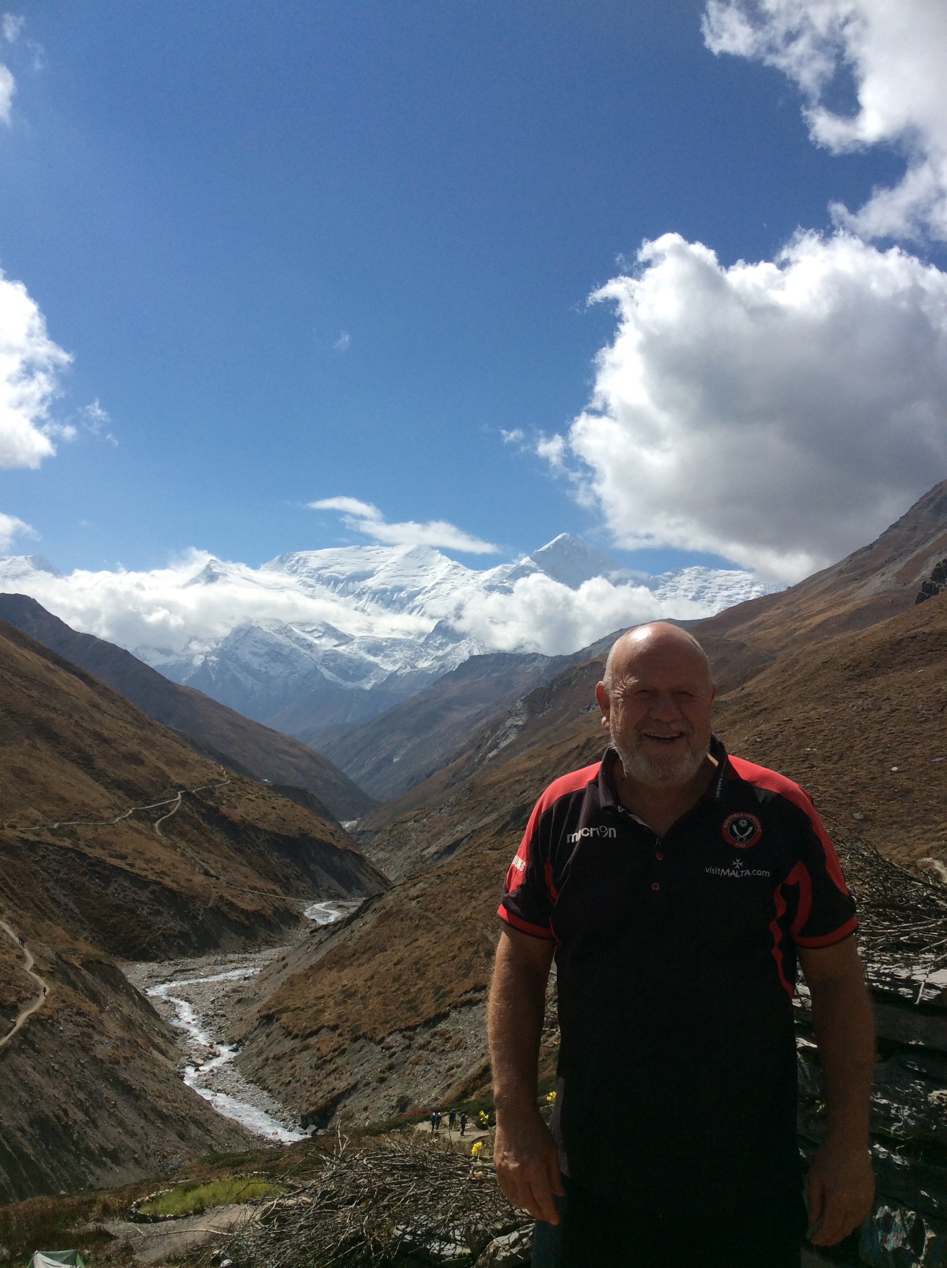
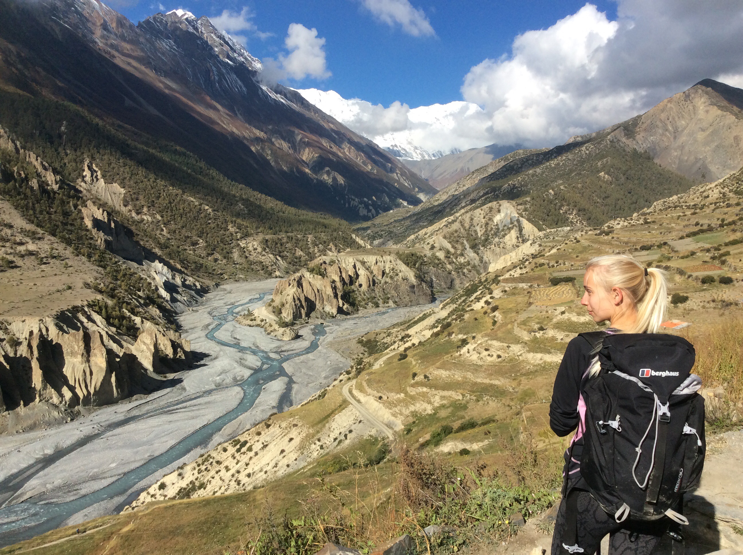
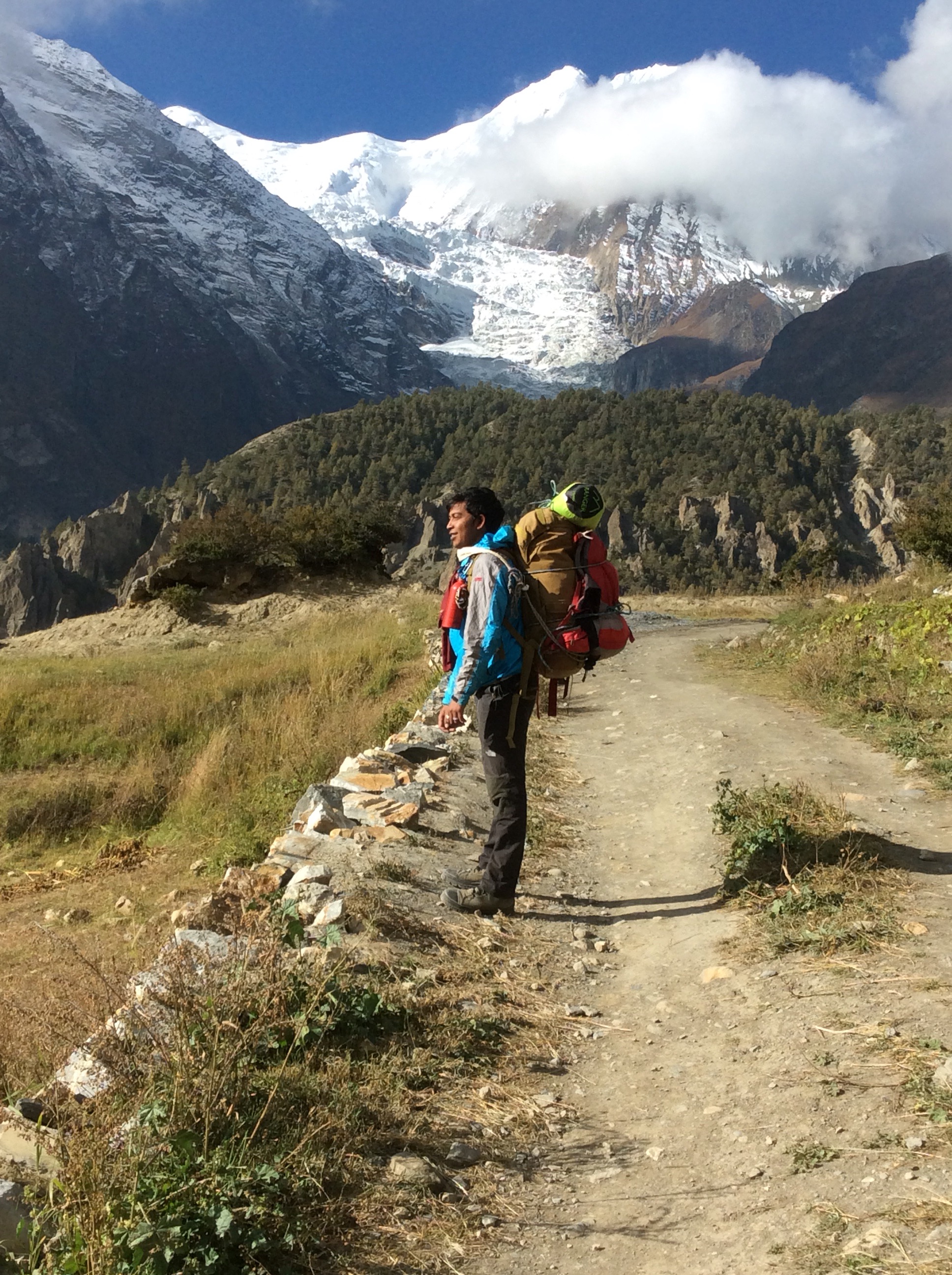
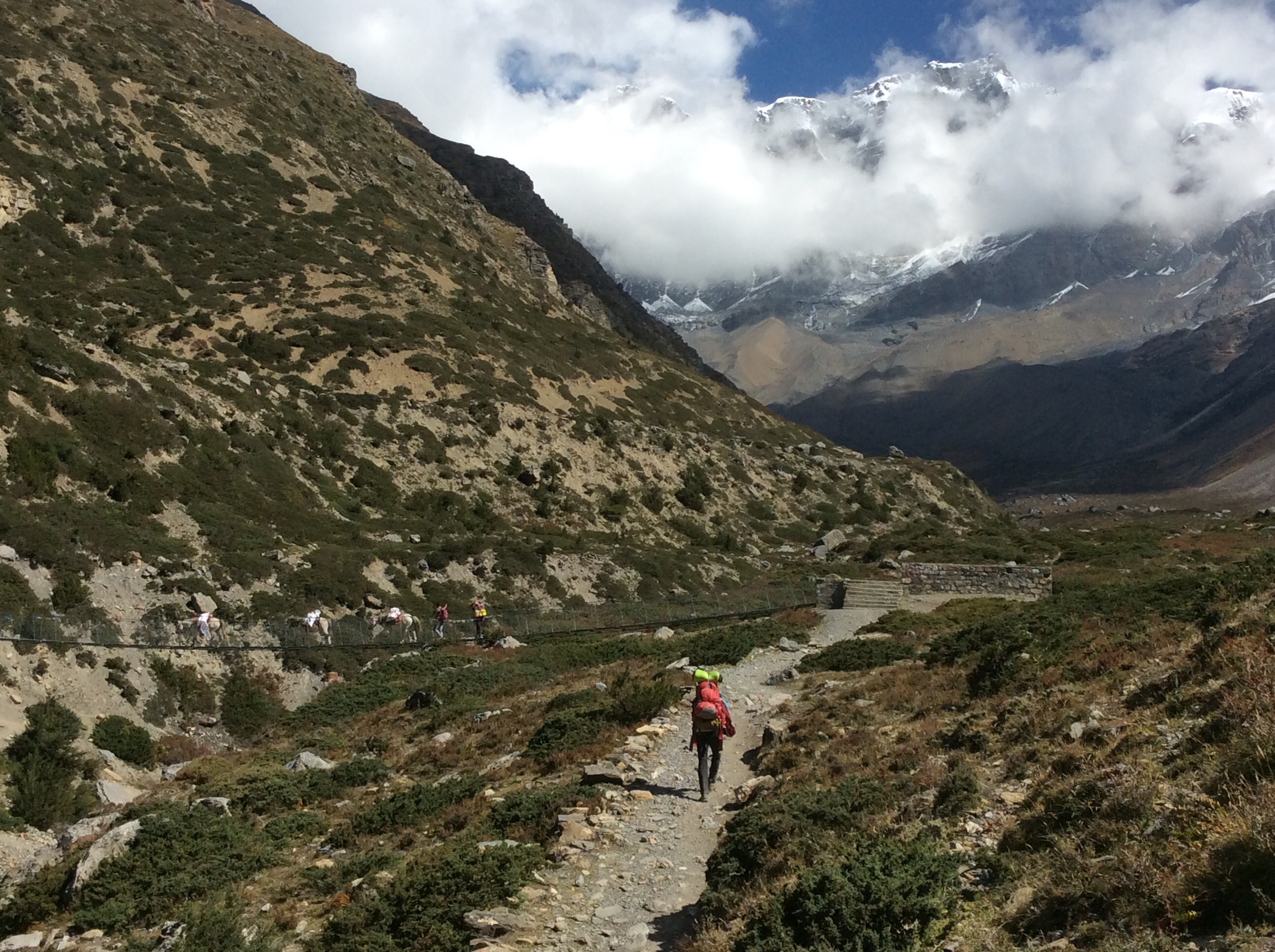
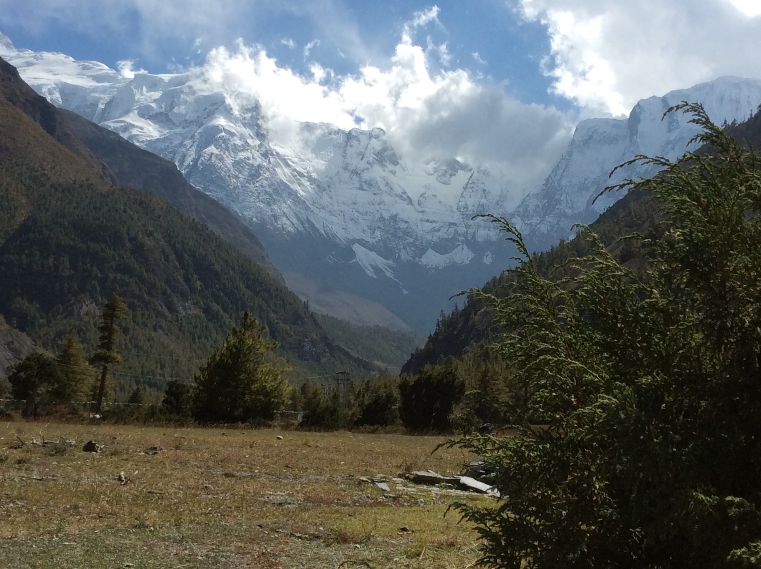
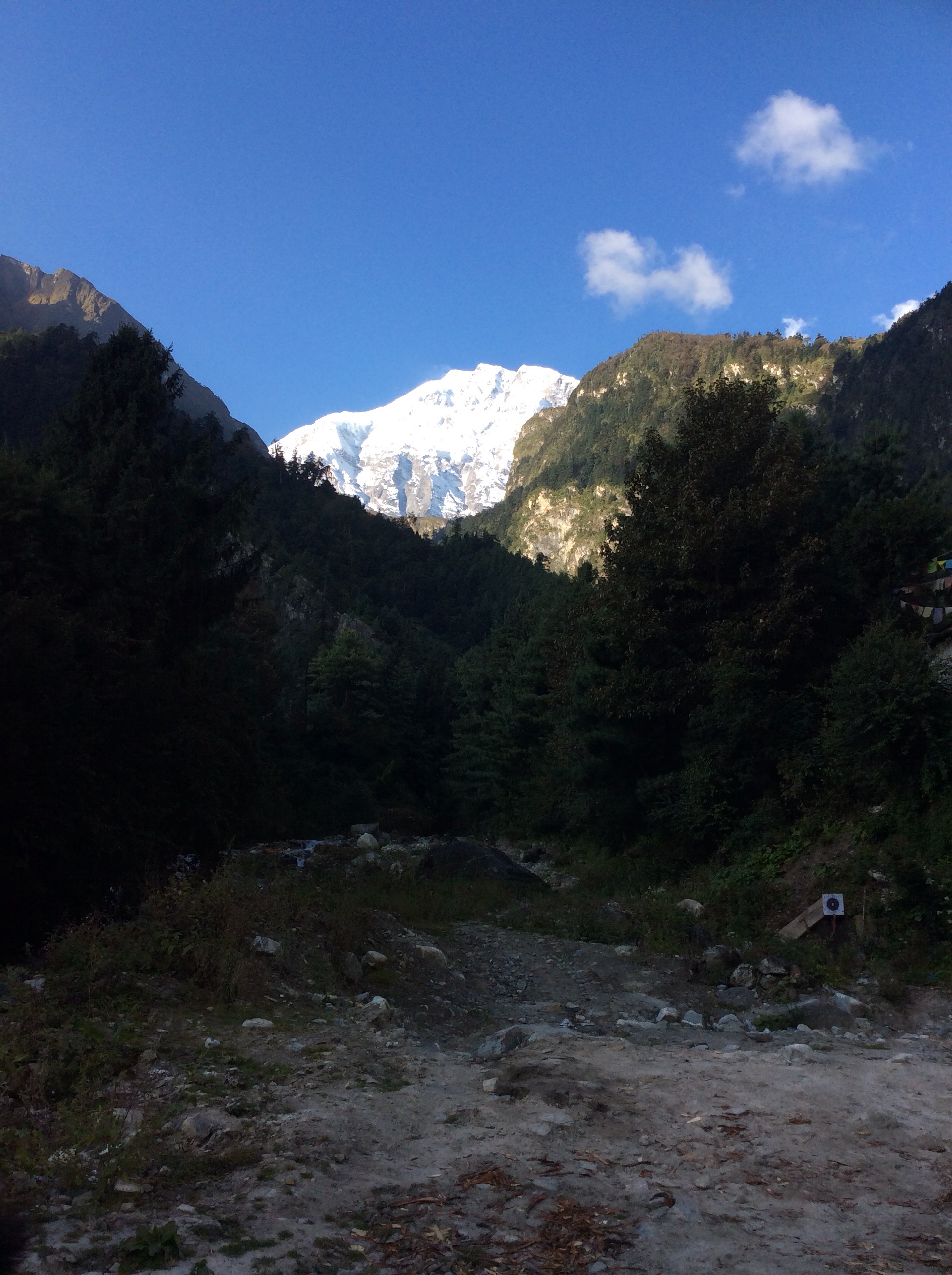
The summit of the highest pass in the whole frickin world. 17,769 feet. We’d done it! Starting to drop down the other side into the Mustang region the mountains either side of the pass were close and impressive, with glaciers hanging over the edge of sheer drops.
Looking back up hill after a while the trickle of trekkers snaked up against a stunning backdrop.

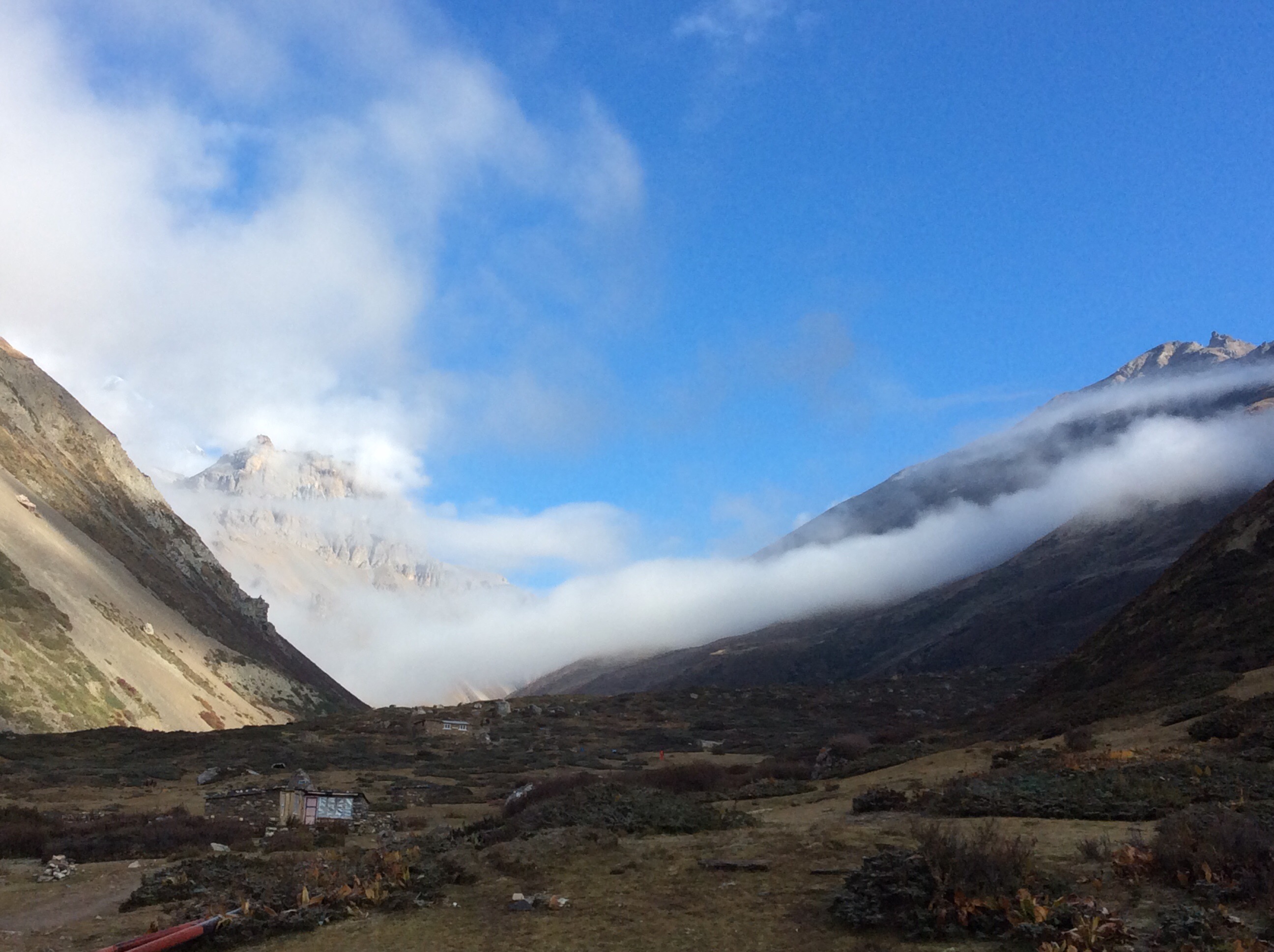
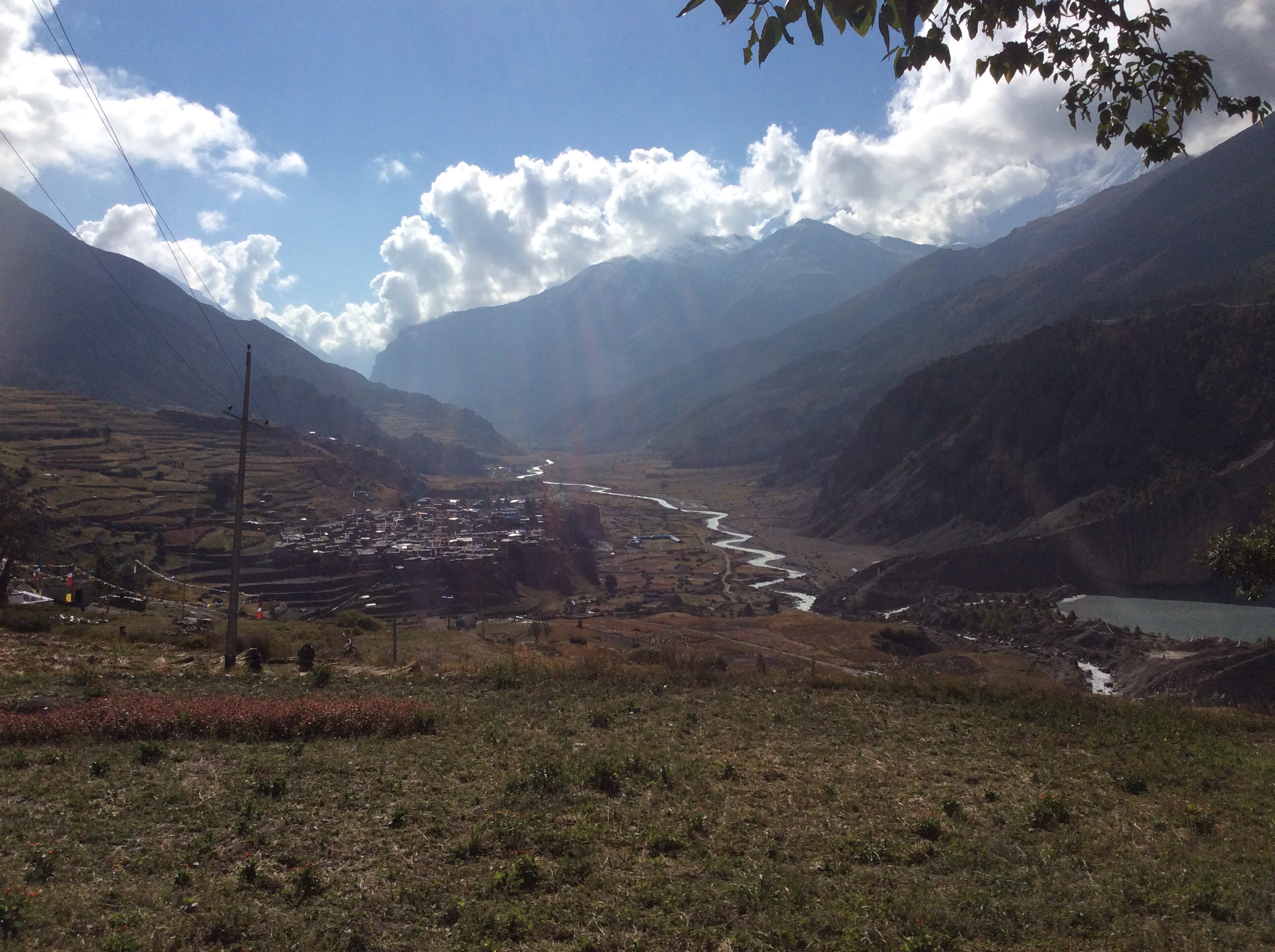
Looking forward the path dropped down to Muktinath in the green oasis and beyond into the Mustang valley.
Just above Muktinath there is a temple, which is a very holy place in the Hindu religion, and which was attracting thousands of tourists from Nepal and India.
We found our guest house, ate lunch, slept, ate and slept again.
Now we could enjoy the rest of the trek.
Night night.
Yak Kharka to Thorung Phedi – and a bit further just to nosey around (4th blog today)
What a grim night’s sleep. Jet was out like a light at 8pm and I was awake most of the night. Gasping for breath again and waking bolt upright thinking I was drowning. I got a good couple of hours at 4am, with my rucksack behind me and the pillow leaning against that, flat on my back. About the fifteenth combination of positions but a successful one.
The sun was rising when we set off at 7.30, illuminating the hills across the valley.
Looking up the valley towards our destination the clouds were lingering and hiding from the sun. Better start worrying he’s coming to get you.
Walking up, the Chuli peaks to our right were looming in the background.
This is a tough walk, particularly with a rucksack, but it isn’t off the scale by any means. The main issue is the altitude. We’re not climbing, we’re trekking, but I say that we’re climbing because we’re going upwards, and quite steeply on occasions. That int climbing, that’s trekking. Frickin trekkin. It’s a great route though. And even at these high altitudes there are little groups of two or three guest houses every four miles or so. The owners live in them from August to November and go down to their first homes in Pokhara or Kathmandu for the rest of the year. June to August is monsoon season so trekkers tend to trek in September, more in October and some in November.
We crossed the river again but it’s getting smaller now and bridges are more rustic.*
Looking back south to the Annapurna range there was a handsome bloke and a fabulous array of mountains.
Looking forward there was a beautiful girl and an enticing mountain path.
But beware young lady. It might be a popular and well served route but it has a harsh ability to kill people. Thirty five trekkers died in October 2014 on the section we are doing tomorrow when a massive snowstorm caught them between guest houses. Poor buggers.
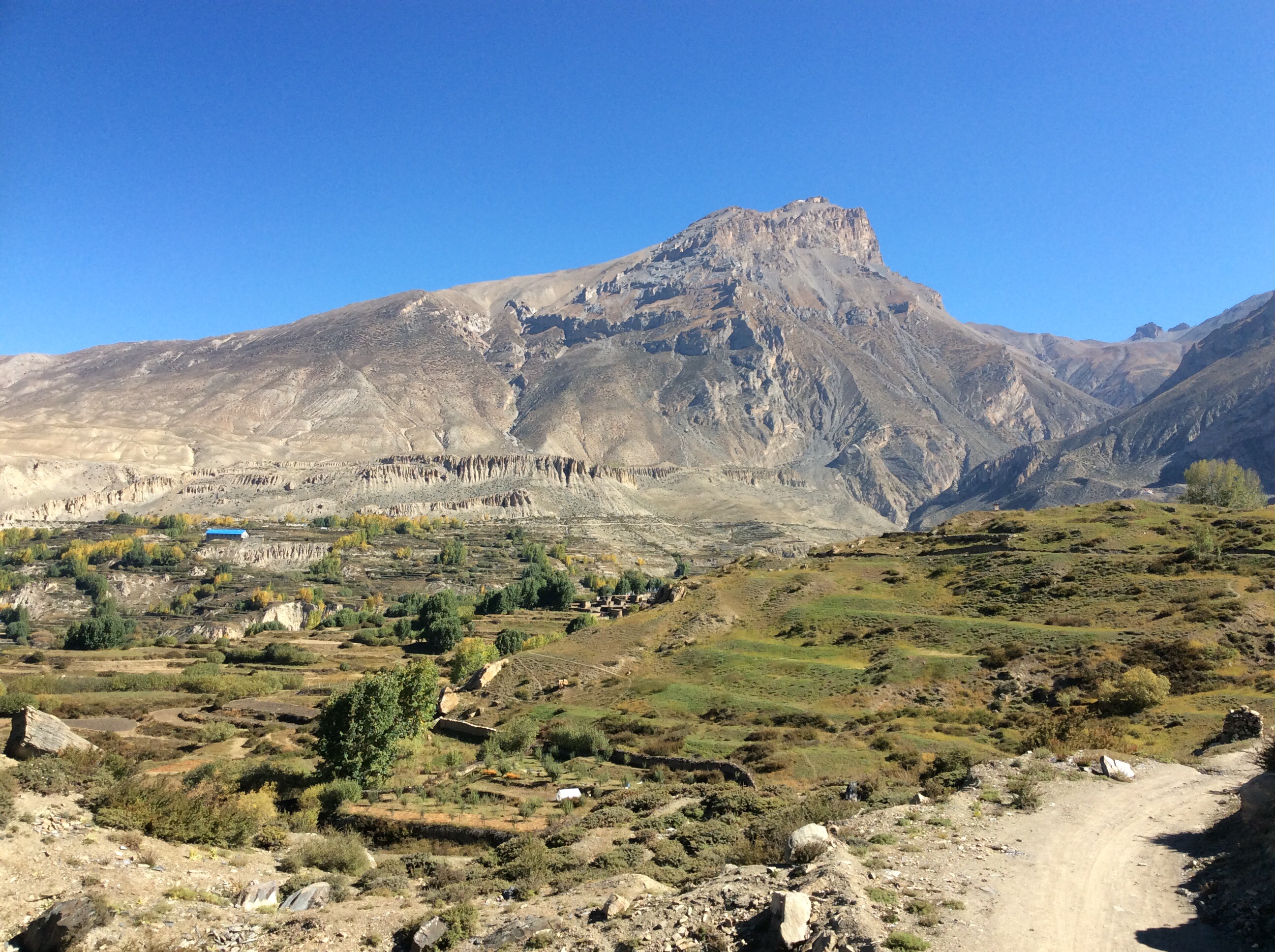
We checked into our next guest house, in Thorung Phedi at 15,000 feet, and had lunch. We’ve got a three thousand foot steep climb tomorrow to the summit of the highest pass in the world and then a long trek down to the next village. It will take us 7 hours to climb up. This is a mega tough day as oxygen makes itself scarce. We will be higher than Everest base camp. But I’ve been off the beer for 6 days as alcohol contributes to catching altitude sickness and tomorrow night we’ll be well down if all goes to plan. We’re setting off at 4.30am and after an 11 hour trek I might have one or two!
To help acclimatisation to the altitude again we climbed a further 1,000 feet up the steepest part of the entire Circuit. Jetty was up there at 16,000 feet amongst the big boy mountains. But Everest is still 12,000 feet higher. Nine or ten times harder than this I would have thought. At least. Well done Ben Fogle, absolute hero.
Clambering back down we are having an early dinner and getting up at some godawful hour in the dark and cold for breakfast at 4.00am. I hope we’re back down in warmer places tomorrow.
Night night.
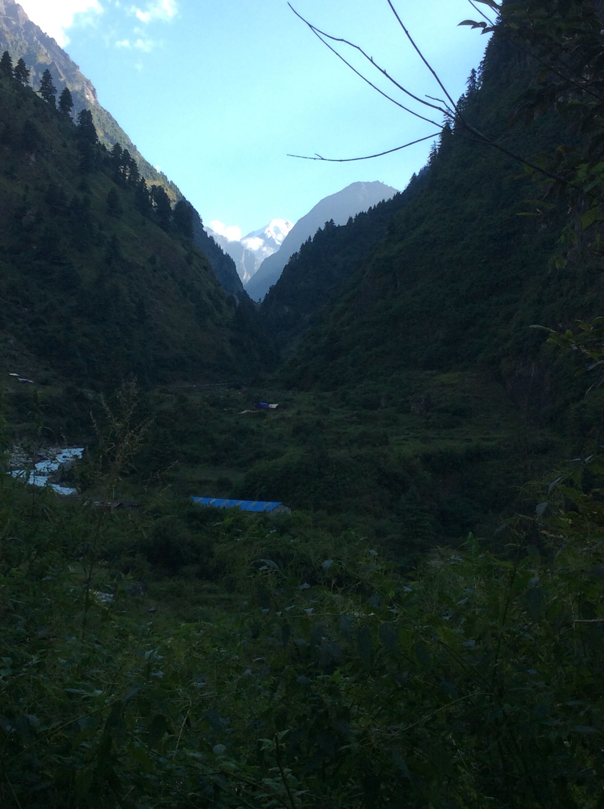
Manang to Yak Kharka – first leg of final ascent on foot, unarmed (3rd blog today)
Early start today again – 7am breakfast and 7.30 set off. The sun was just coming up and shining on the top of the Annapurna range.
We wound through the small town, following folk who had clearly been out in the fields since early light.
We’re aiming for Yak Kharka, a tiny collection of guest houses up the valley to the right, whilst the valley straight ahead leads up to Mount Tilicho in the distance, and Tilicho Lake, hidden but in front of it.
Looking back Manang and the valley we had walked up were bathed in morning sunshine. We’re high up now and I have still only walked in my shorts and one of my Sheff U short sleeved polo shirts. It’s still warm during sunshine hours but the temperature plunges when the sun goes down.
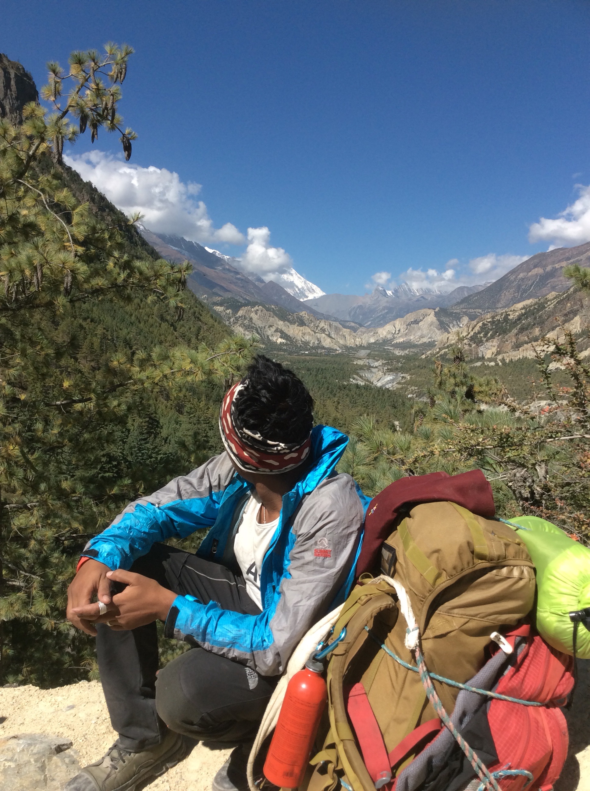
Sulis was paying his respects to the disappearing valley.
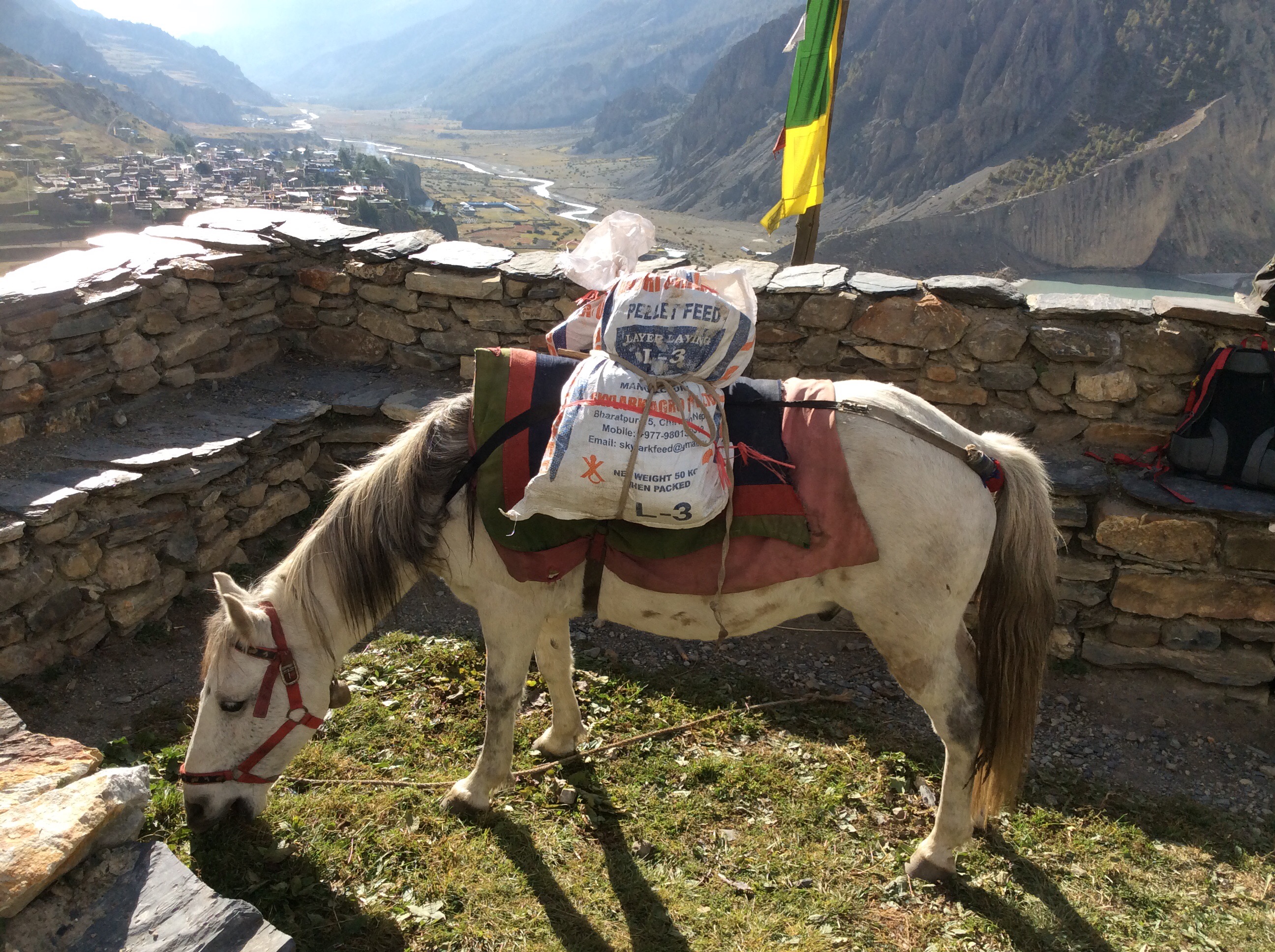
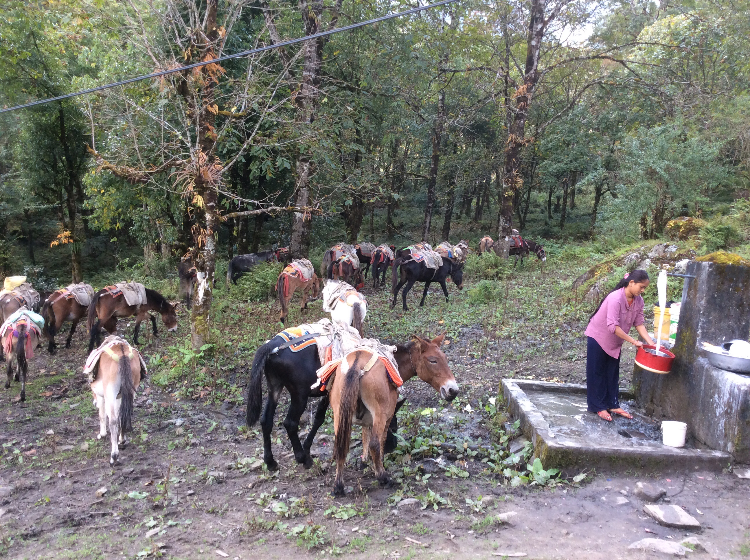
This is a big Conservation area, five times the size of the Peak District. Vehicles are allowed on the track, when it’s not blocked by landslides, but not allowed up the valleys. The only vehicles serving the guest houses and tiny villages up the valley are horses!
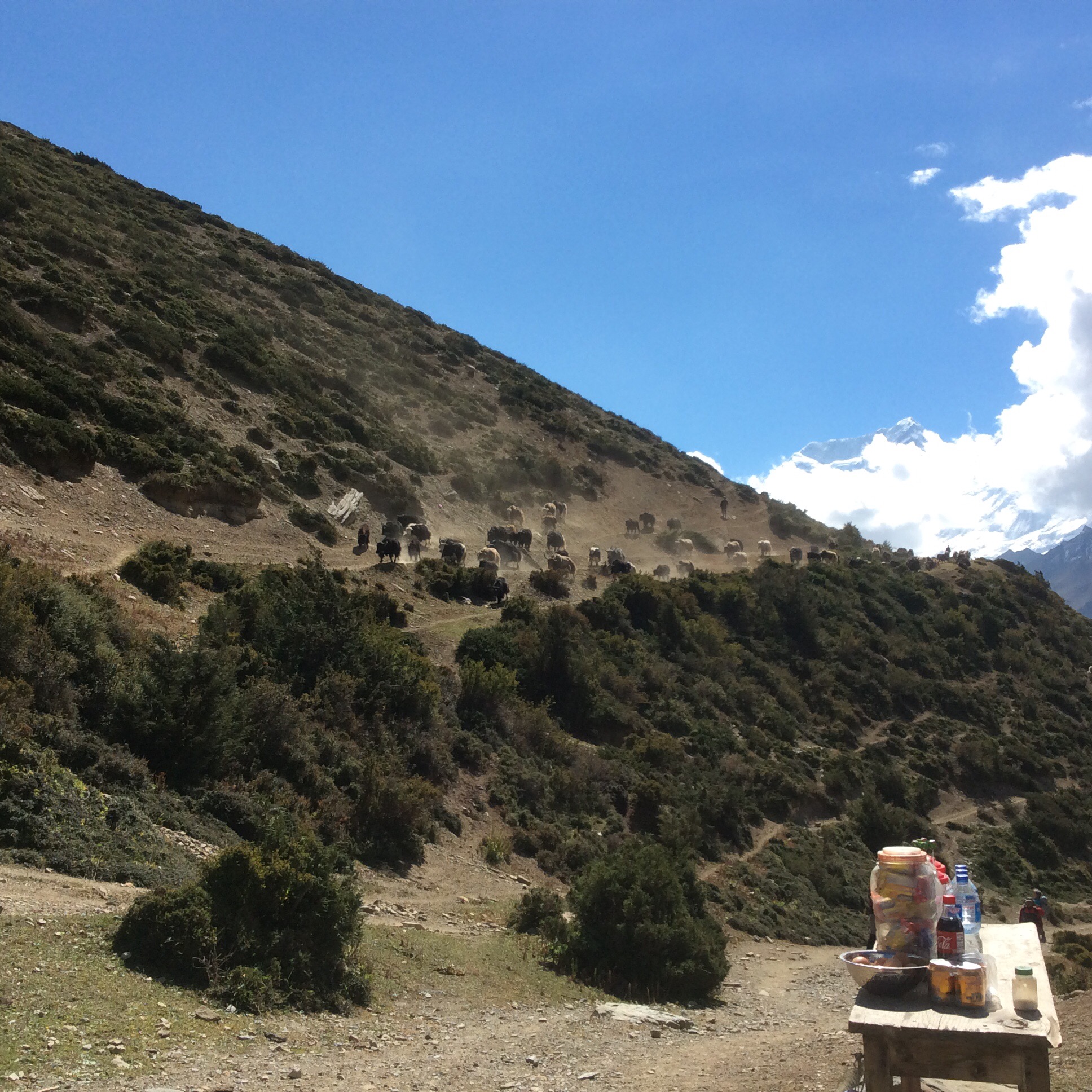
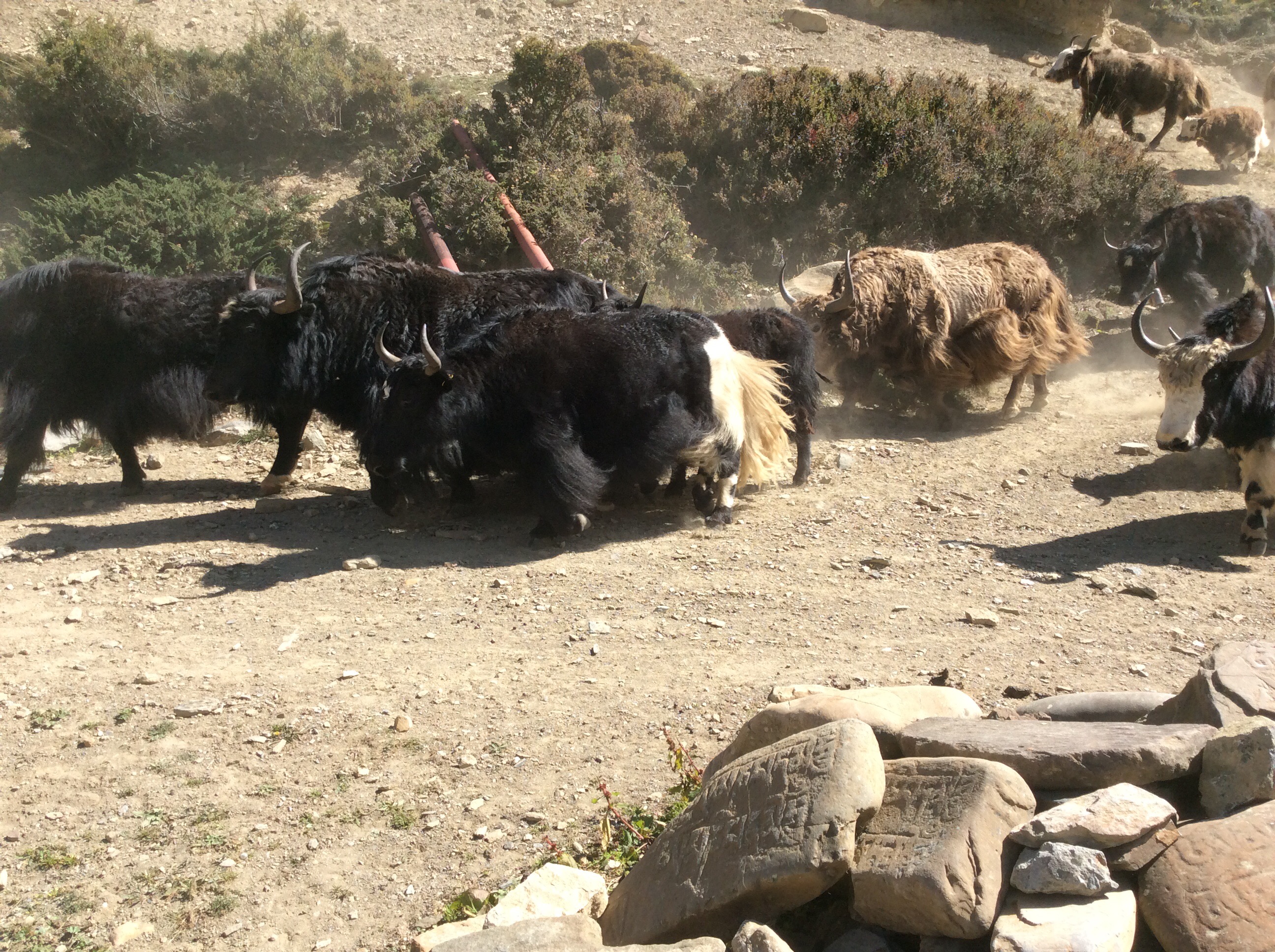
An hour up the valley we heard men shouting a rumble on the hillside. It was a herd of around 70 yaks, including some big buggers, stampeding past us. What a sight!
At the next building, a shop come cafe which stood on its own out in the sticks, I bought a good chunk of Yak cheese for two quid and it was delicious.
As we wound up the side of the valley a river came down from the mountains to our right and I got this shot of three horses crossing the hanging bridge, at distance though.
Finally Yak Kharka came into view and we headed there to check into our guest house and have lunch.
And the view from our room was unbelievable.
We left our rucksacks and walked a few miles up to the next village and back to get acclimatised to another few hundred feet of reducing oxygen. An early dinner and early to bed.
Night night.
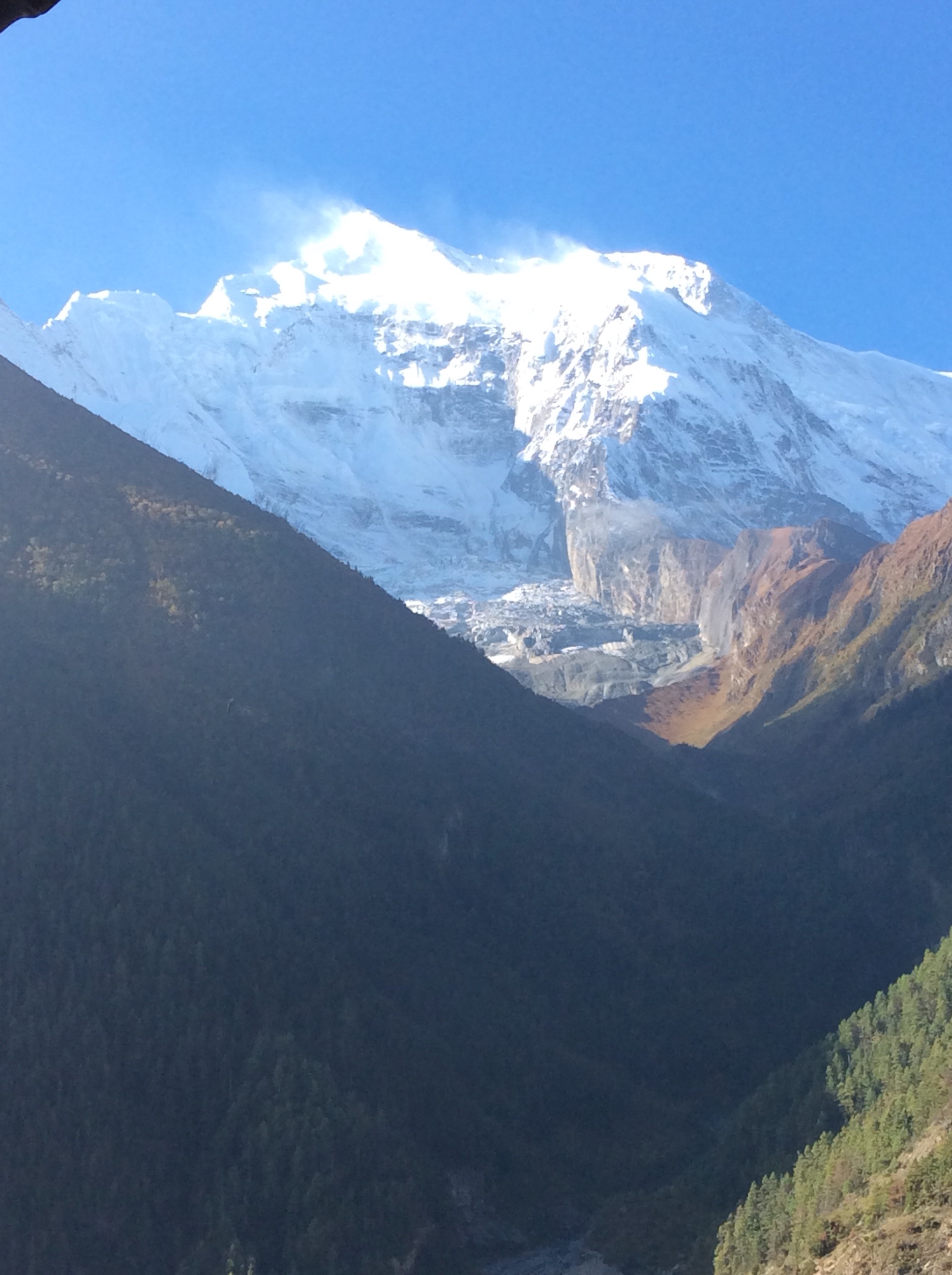
Braga to Manang – the Grand Old Duke of York (2nd blog today)
I woke and gasped for breath a dozen or more times in the night but Jetty was improved and we were up for the short walk to Manang and lodge there for one or two nights. The original schedule was to continue from Manang south west into the Annapurna range for two days to reach the highest lake in the Himalayas and then head north for another day to join the Circuit again.
We decided that the priority was to cross the Thorung La pass and that we stay on the Circuit, sadly missing out Tilicho Lake. If we didn’t make Thorung La, a big challenge at nearly 18,000 feet, then we were in difficulty as the only other route out was to retrace our steps.
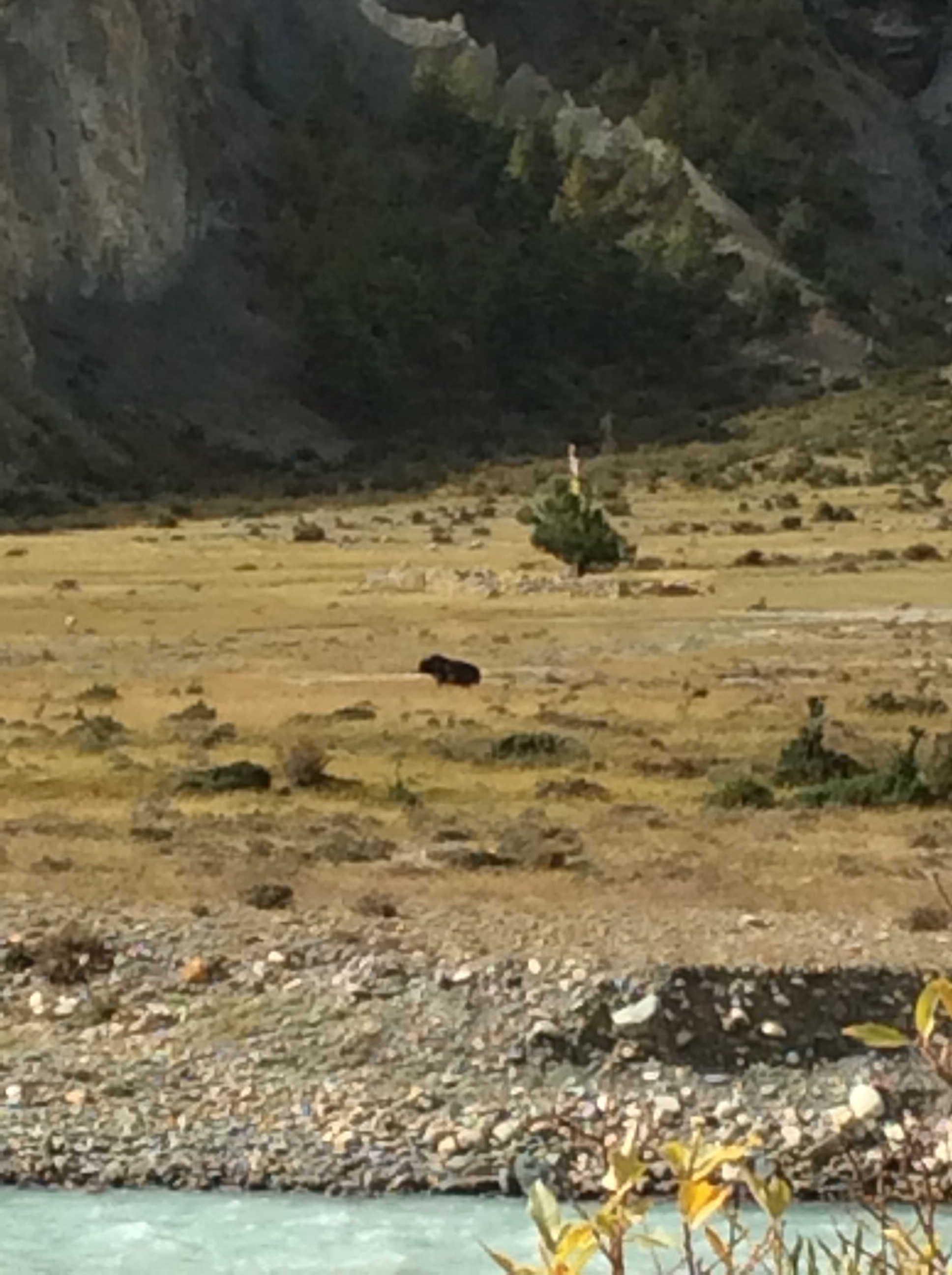
Setting off after a late breakfast we caught our first sight of a Yak. Blurry, black shape on this photo.
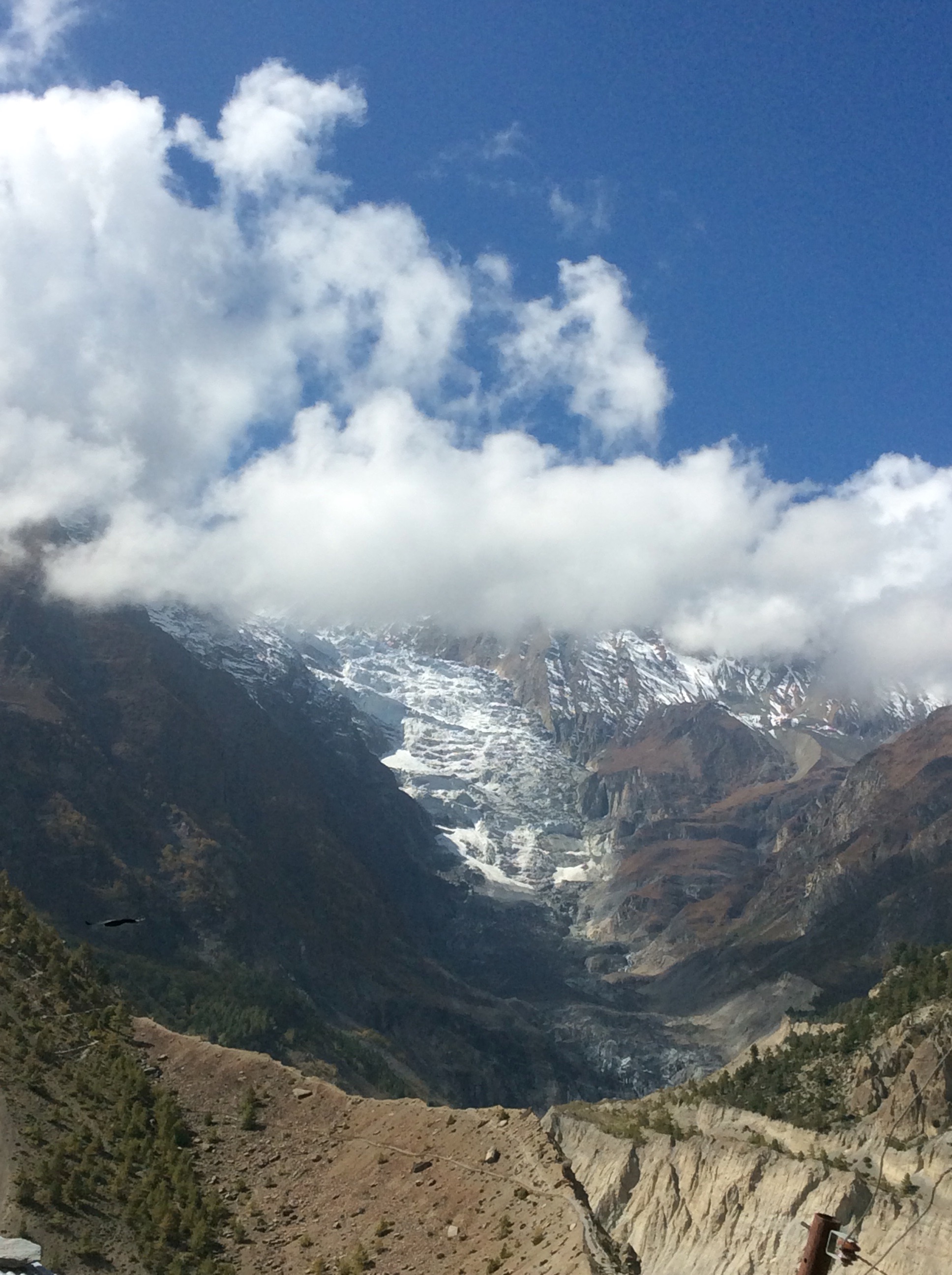
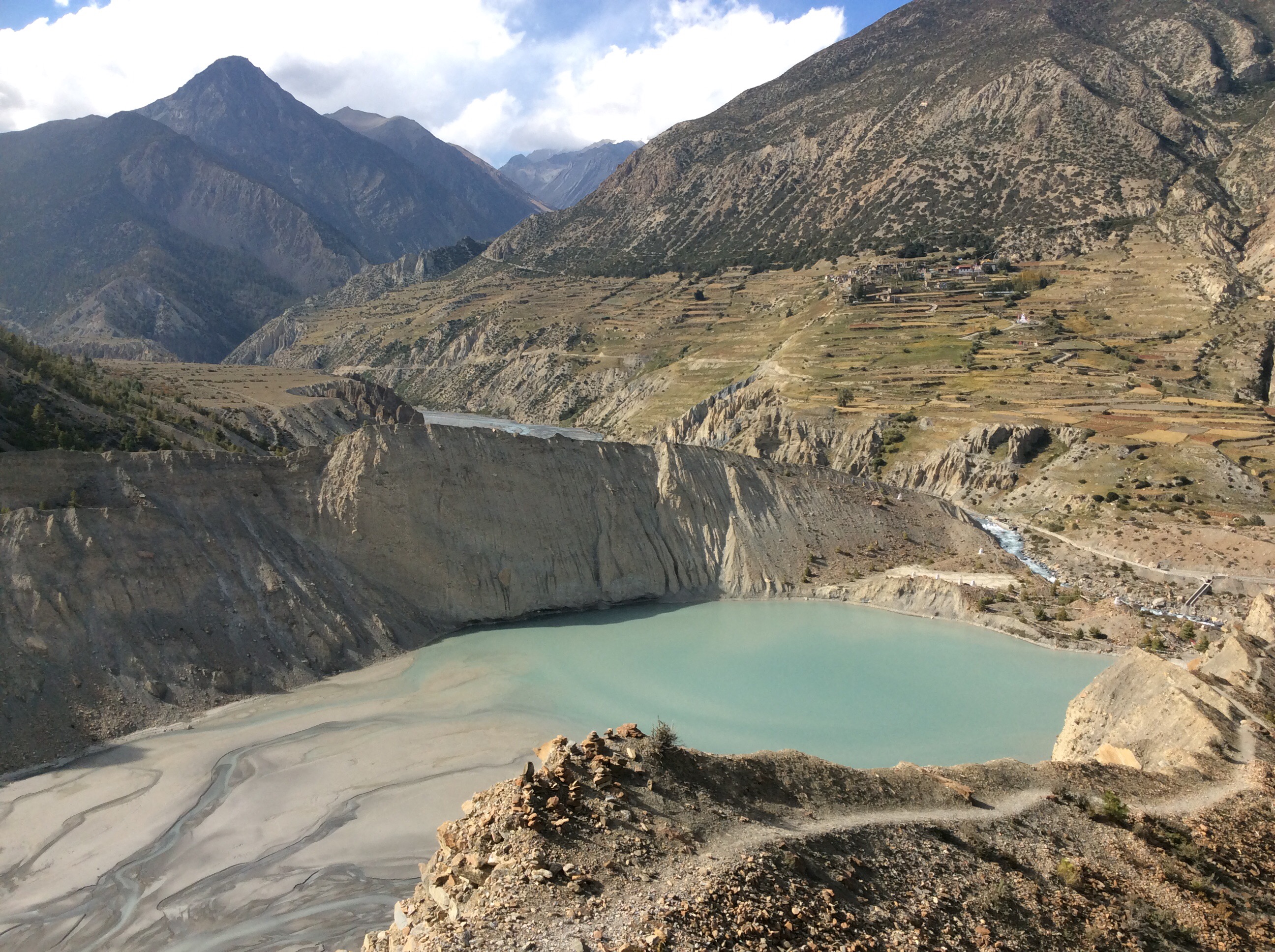
The Gangapurna glacier loomed and looked brooding in the high valley.
The mountains looked great as a backdrop as the leaves that are green turn to gold. And they wither with the wind. And they crumble in your hand.
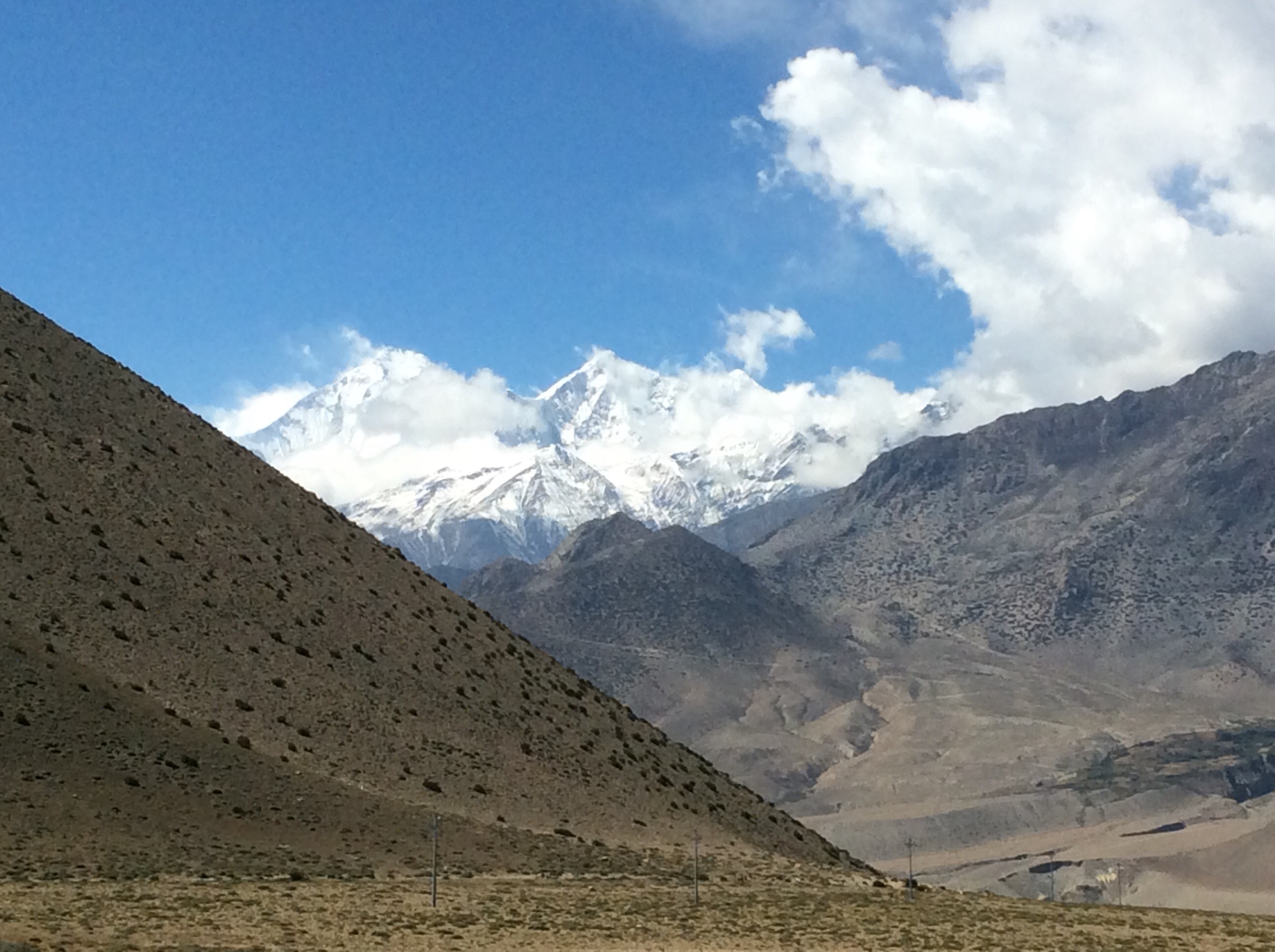
Further up the valley Tilicho was snowbound and winter was creeping in day by day.
We made Manang quickly, checked in to the guest house and Jet and I collected our dirty clothes, went to a shop that did laundry and got it washed and dried for less than three quid. We called in at a different medical centre and got advice on altitude from a volunteer Yankee doctor and bought some electrolyte water additives. Going back to the guest house we had lunch with Prem and Sulis and decided that we should go across the river and climb up towards the glacier, and back again. And when we were only halfway up……. This jump in altitude would help us acclimatise to the higher guest house tomorrow, with thinner air.
We took off, Sulis stayed to rest, and we climbed up 1,600 feet. The views were great, as per.
Coming back down Manang looked like a little model in the valley.
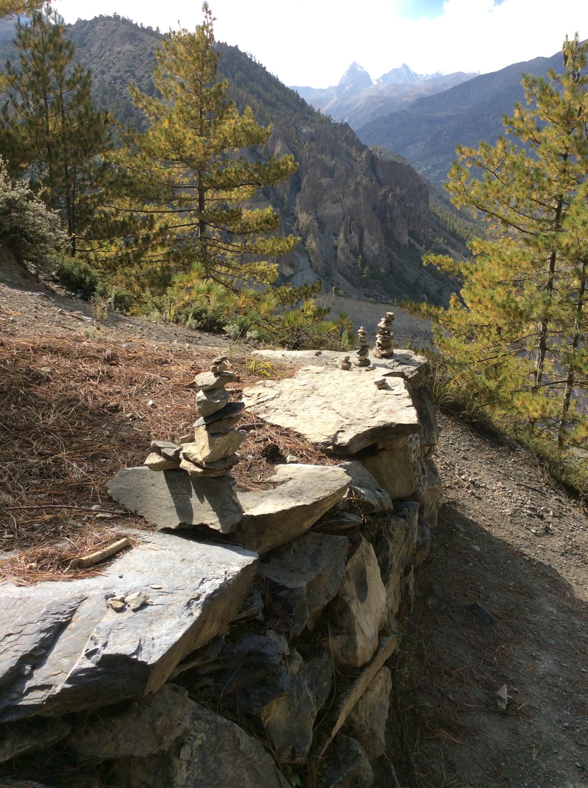
The little vertical cairns drew a line towards Thorung La.
The meltwater from the glacier collected in Gangapurna Lake, naturally formed by the ice pushing earth into a dam wall.
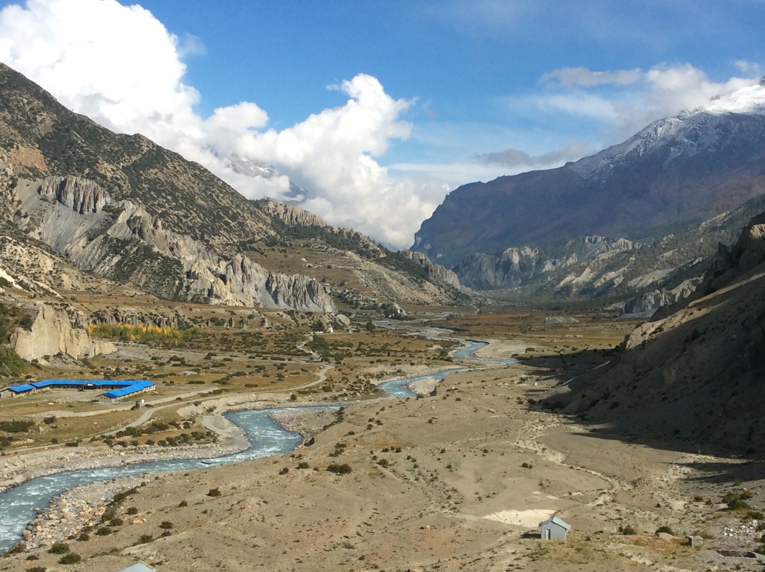
Down the valley the way we had come the view was just as good.
We collected our, now, clean clothes and got back to the guest house. Before dinner the mountain opposite looked great.

Night night.
Upper Pisang to Braga – and I’ll take the Low Road
At this altitude I was feeling chesty and Jet was feeling heady. We decided we could continue but not as far as Manang, and that we should take the official lower track of the Circuit and not the higher route, to get more oxygen in our systems. Fantastic views from the guest house and we were off at 8am, making our way down to the river.
We passed small fields of barley (light colour) and buckwheat (brown) with the harvest just starting, and down in the valley people threshing the buckwheat with huge flails. I like this photo.

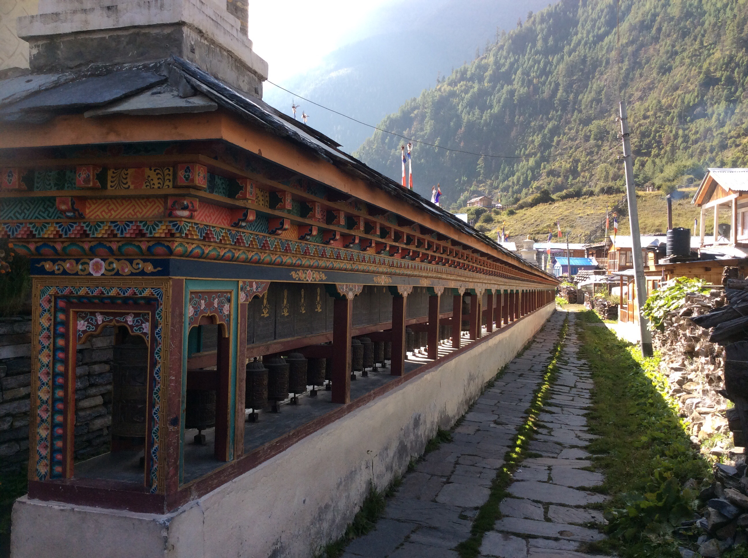
We also passed many prayer wheels and shrines during the day and Jet was doing good. Always turn the prayer wheels clockwise and don’t eat the yellow snow. Thanks Frank.
The track rose over mountain sides and down into the valley a few times, giving good views of the direction in which we were going.
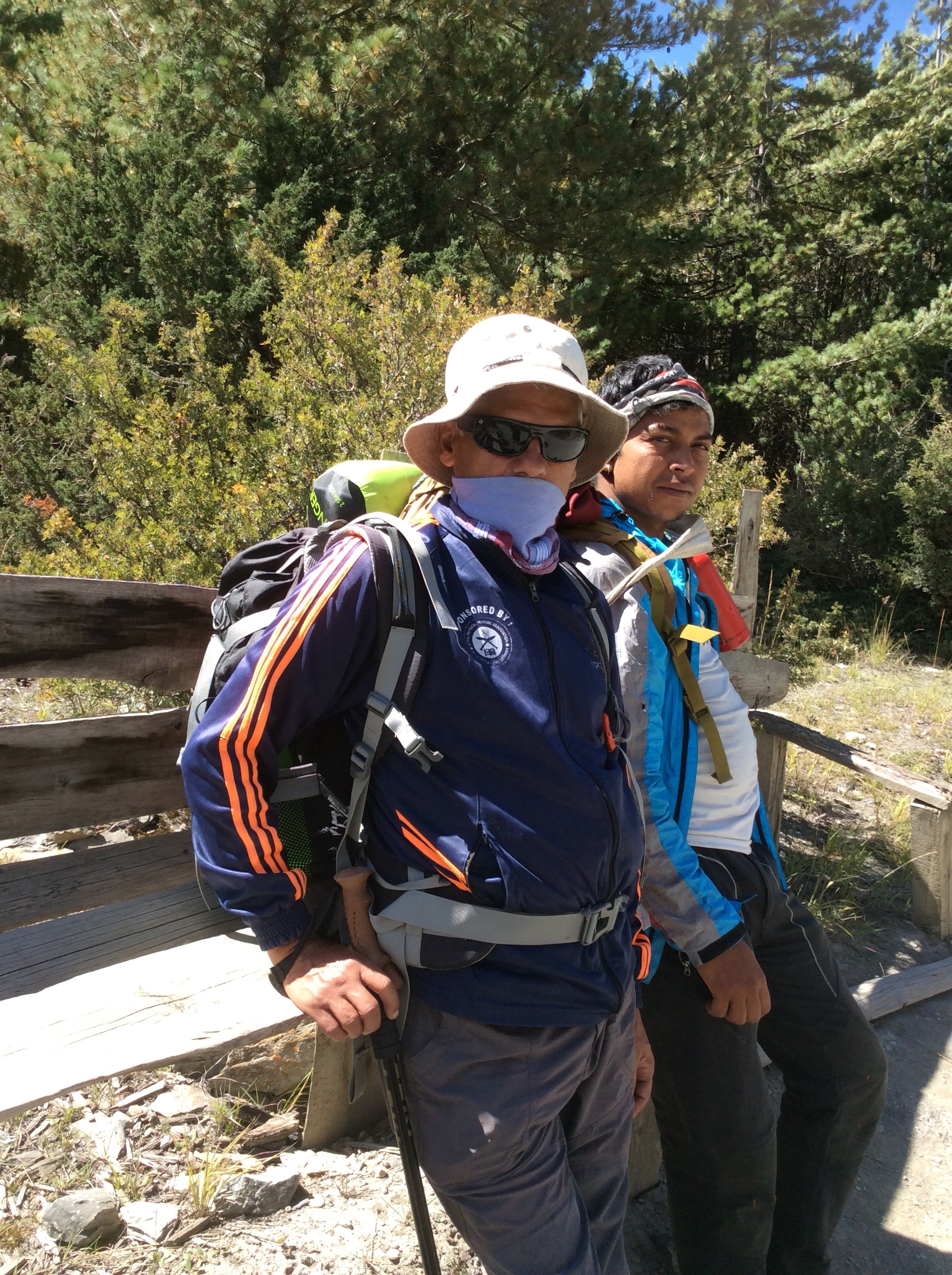
Prem and Sulis, looking like dodgy geezers. Standing on a street corner, suitcase in my hand. Thanks Lou.
Juliet, trekking like a good un.
The Annapurna range was to our left, as we are walking around it anti-clockwise. And that meant that it was south of us at the moment, and views in that direction were the highest mountains and a lot of snow.
However northwards to our right the Kangla Himal was fantastic too.
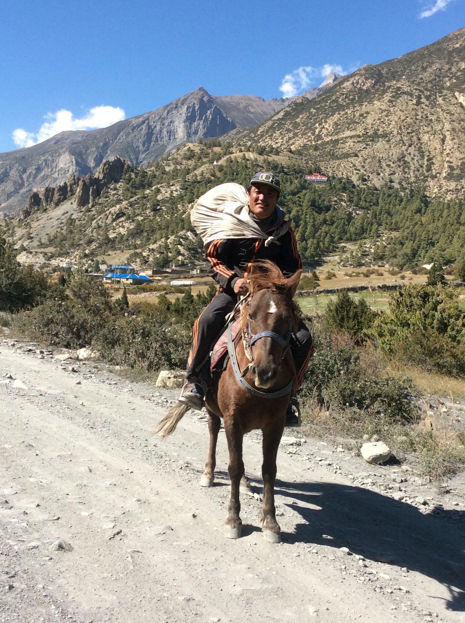
A horseman came down the track at a gallop, stopping and posing to allow my photograph. Proud and hardy.
After lunch we carried on up the valley, finally arriving at Braga in the dip here, with Manang, our original destination, behind and higher up the hill. Lower altitude tonight for me and Jet.
The views from our guest house room are fabulous. Cop these!
There is a south facing balcony and Jet was catching some rays.
We ate earlyish and went to bed. In the morning Jet was still heady and I had woken many times gasping a bit, so we decided to take a rest day and stay in this guest house in Braga. Jet slept and I walked up to Manang and got more medical supplies, drinks and spice (bounty bar, toblerone and locally made popcorn). I dropped in to the medical centre to get advice on altitude sickness in case either of us developed it. We’ll see how tonight and tomorrow goes.
Night night.
Chame to Upper Pisang – Onward and Upward (3rd blog in 14 hours)
Another decent night’s sleep. These are local hostels with typically five or six rooms, all without heating, and maybe attached toilet and shower or outside toilet and shower. If you’re lucky you can get a western toilet, but they are mostly holes in the floor. Showers can be warm or cold. What do you expect for £4 for a twin room? The beds are ok but we cover our pillows in silk pillow cases that we brought, and we have our own sleeping bags for higher up when it will get cold. The forecast for tomorrow night is minus 8.
The track to the outside world at the moment is cut off by landslides so goods don’t come up in great abundance, and transport is restricted to jeeps and motor bikes. And, as we’re climbing up, the forest is becoming predominantly pine, and the bamboo has disappeared. See you later bamboo baby.
We set off at 8am, our little Fellowship of the Ring – we’re walking in a ring around the Annapurna Massif, which is 14 peaks all over 23,000 feet, including one over 26,00 feet. We’ve been so lucky with the weather. Dry and sunny, although it has been hot, and it got hot for a shorter time around noon. The views were going to be good!
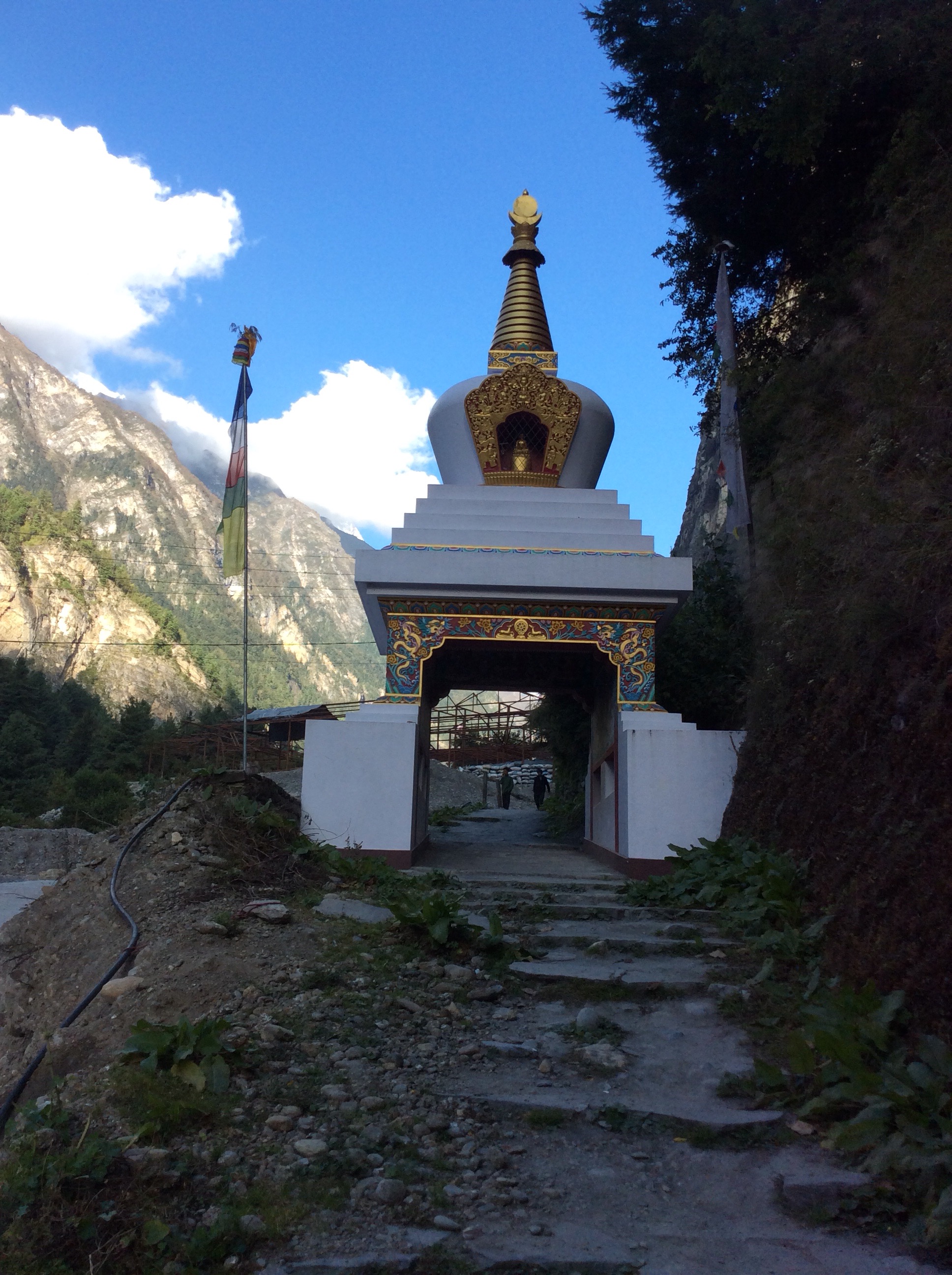
We crossed the river, again and joined a footpath which climbed the mountainside above the river, starting with a Buddhist shrine.
Passing 10,000 feet and the views were becoming more amazing as the air was getting a little thinner and my breath was getting shorter.
Then either side of the footpath an apple orchard opened out and a large building turned out to be an apple warehouse and cafe. It sold apples! But surprise surprise, it also sold fresh apple stuffed doughnuts and chocolate doughnuts. In the heart of the Himalayas. Delish.
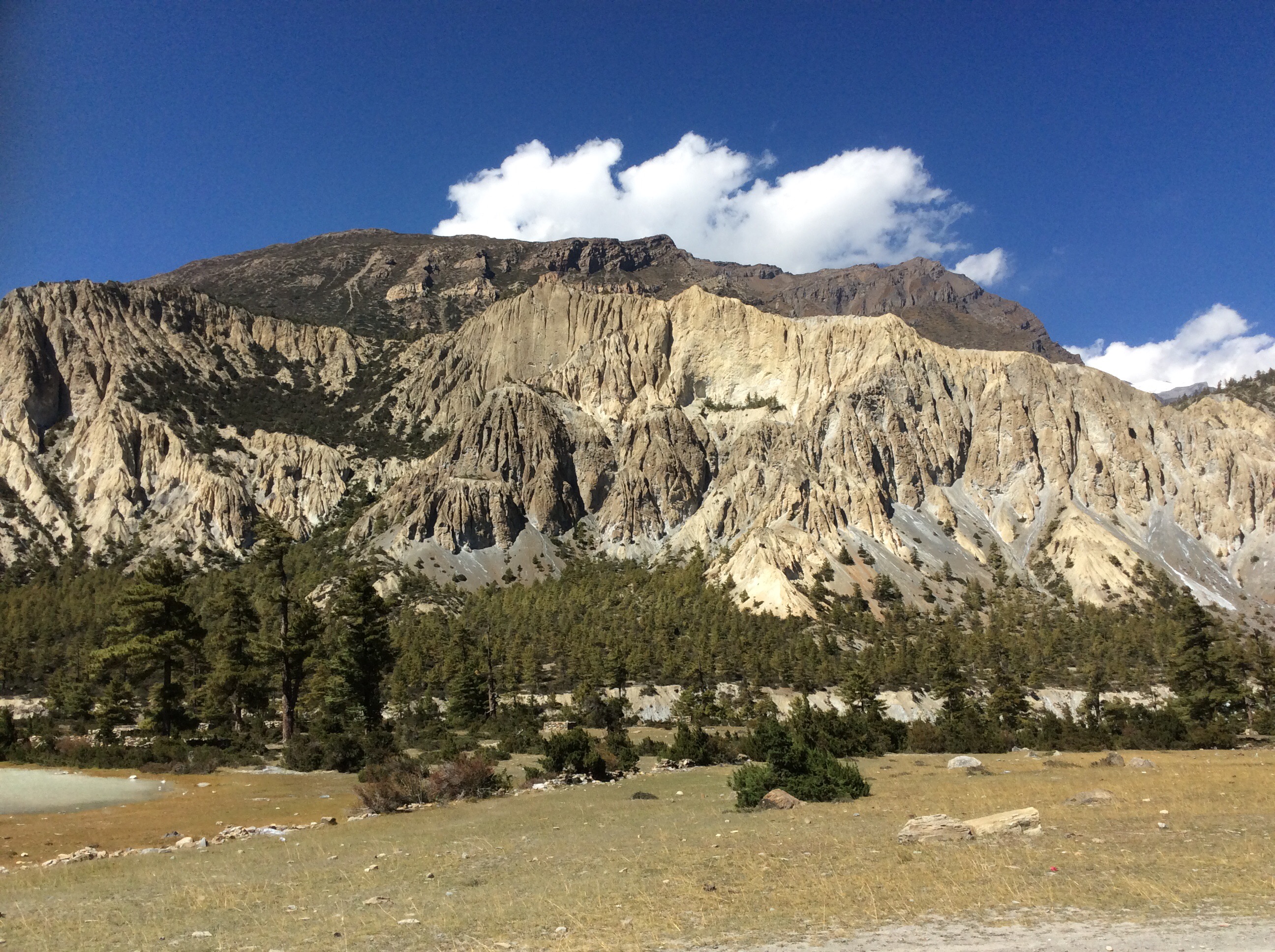
The track continued round a corner to the next valley, which was pure rock ground out by glaciers over millions of years.
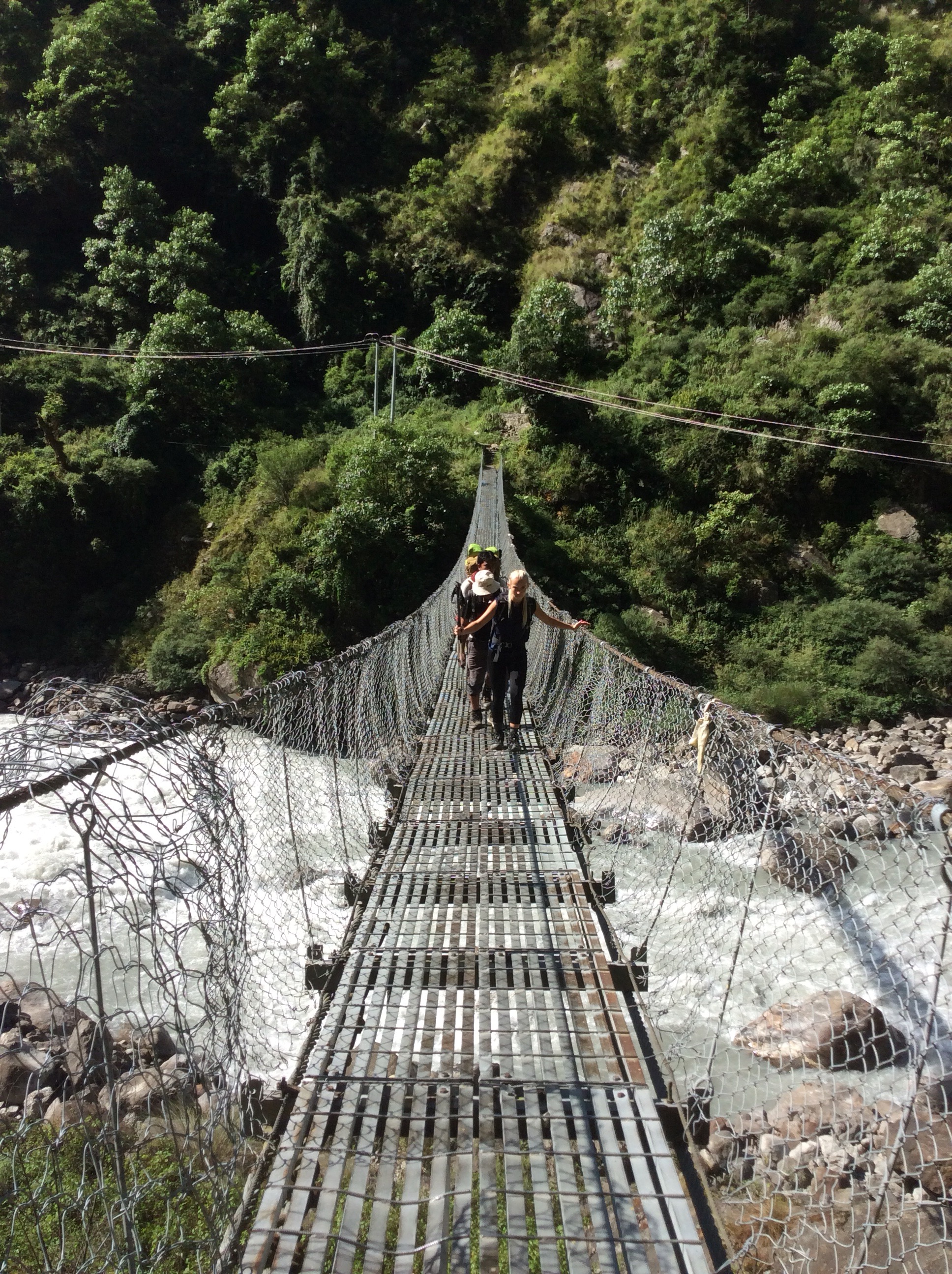
The path dropped down to the river, which is usually bad news as you have to climb up again. Another footbridge, but these are all metal suspension bridges mostly with strong cables and modern engineering. No Indiana Jones manoeuvres. The path did climb and climb, although it levelled out after a tiring hour. We passed a French couple on the way and I explained in French how tired I was and feeling old. Attention seeking baston. It got a laugh out of them.
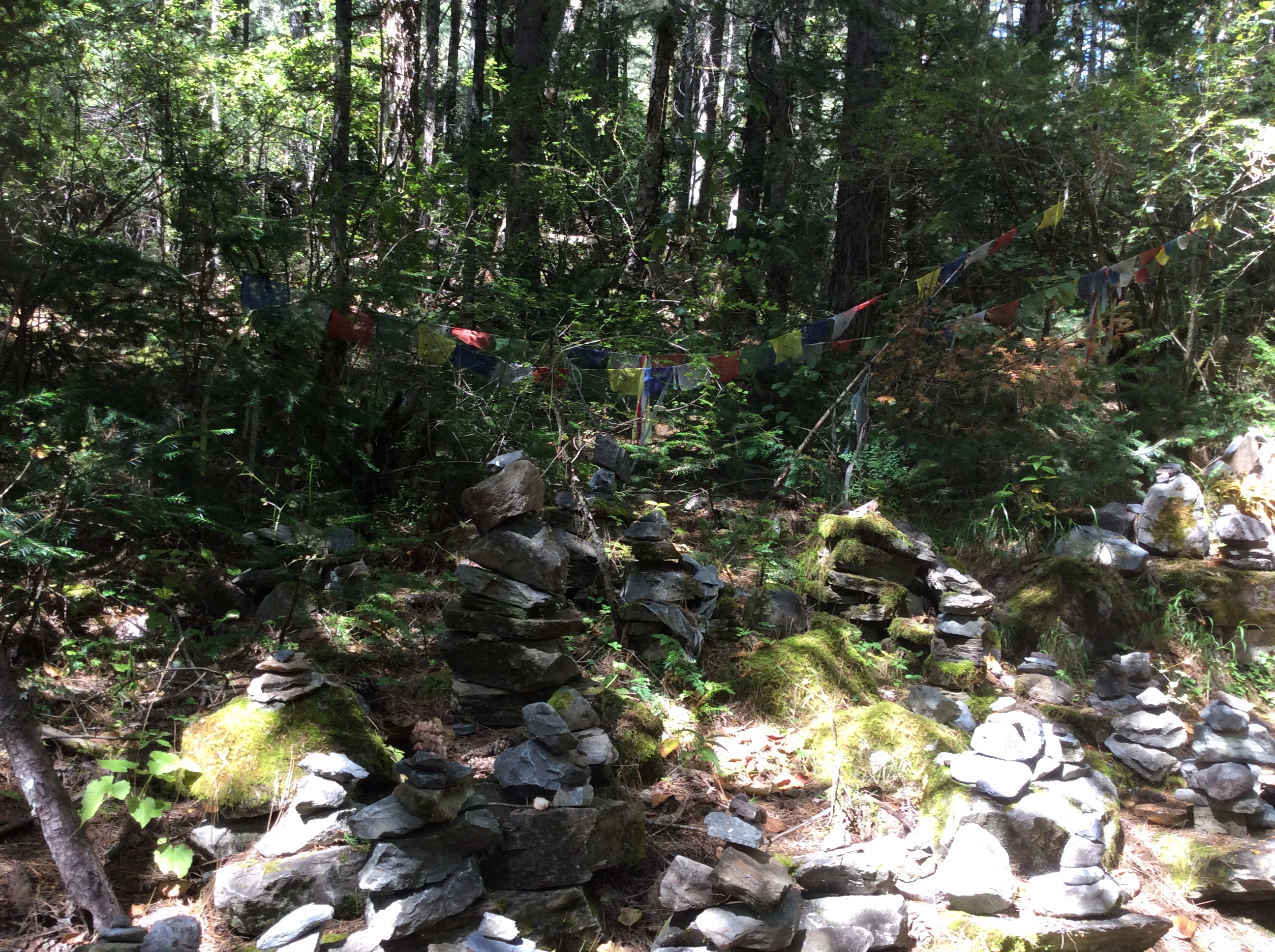
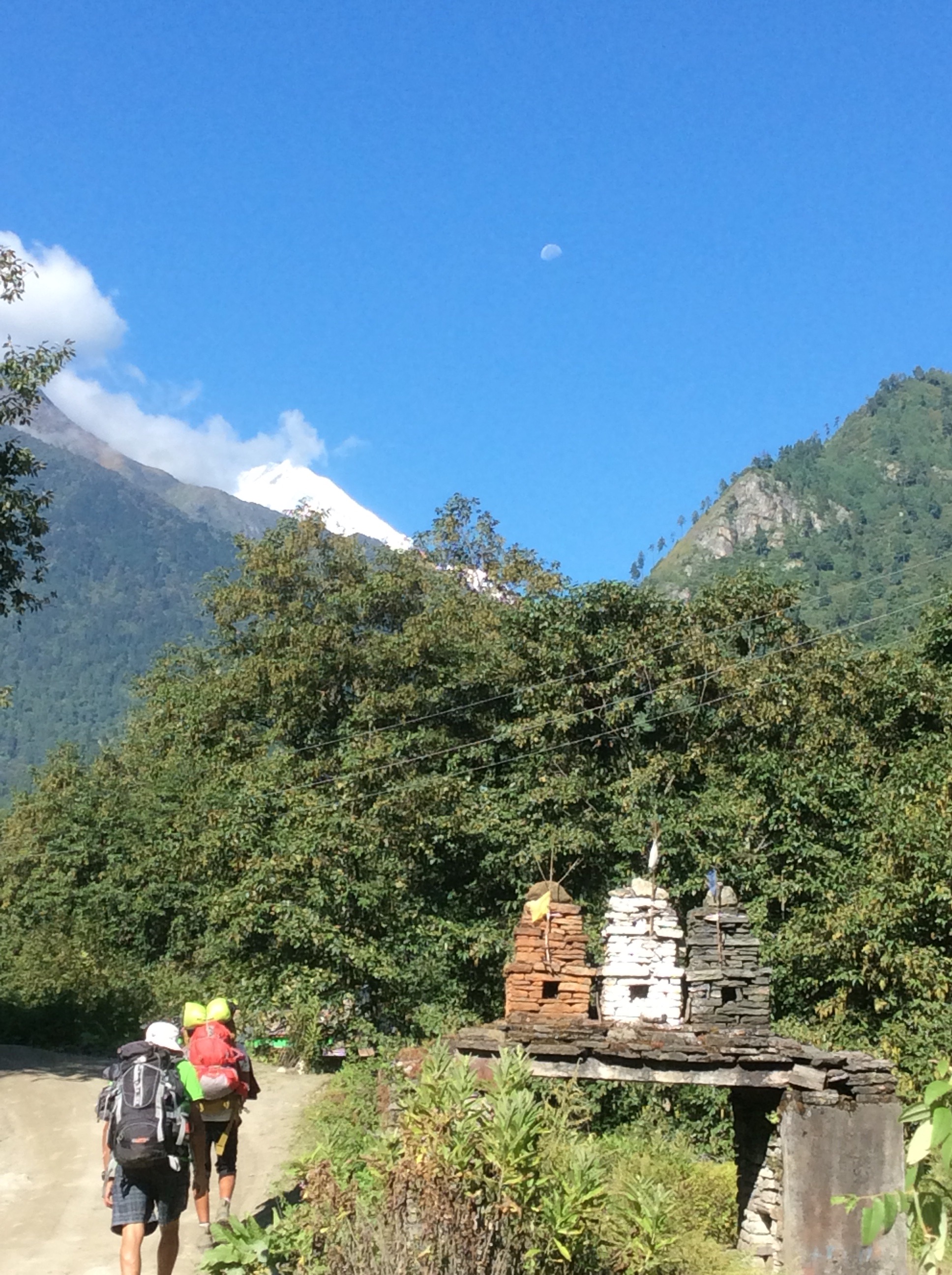
In the forest were miniature cairns erected by Hindus, which Prem explained were built to please the gods and ease the individual’s way into heaven on expiry.
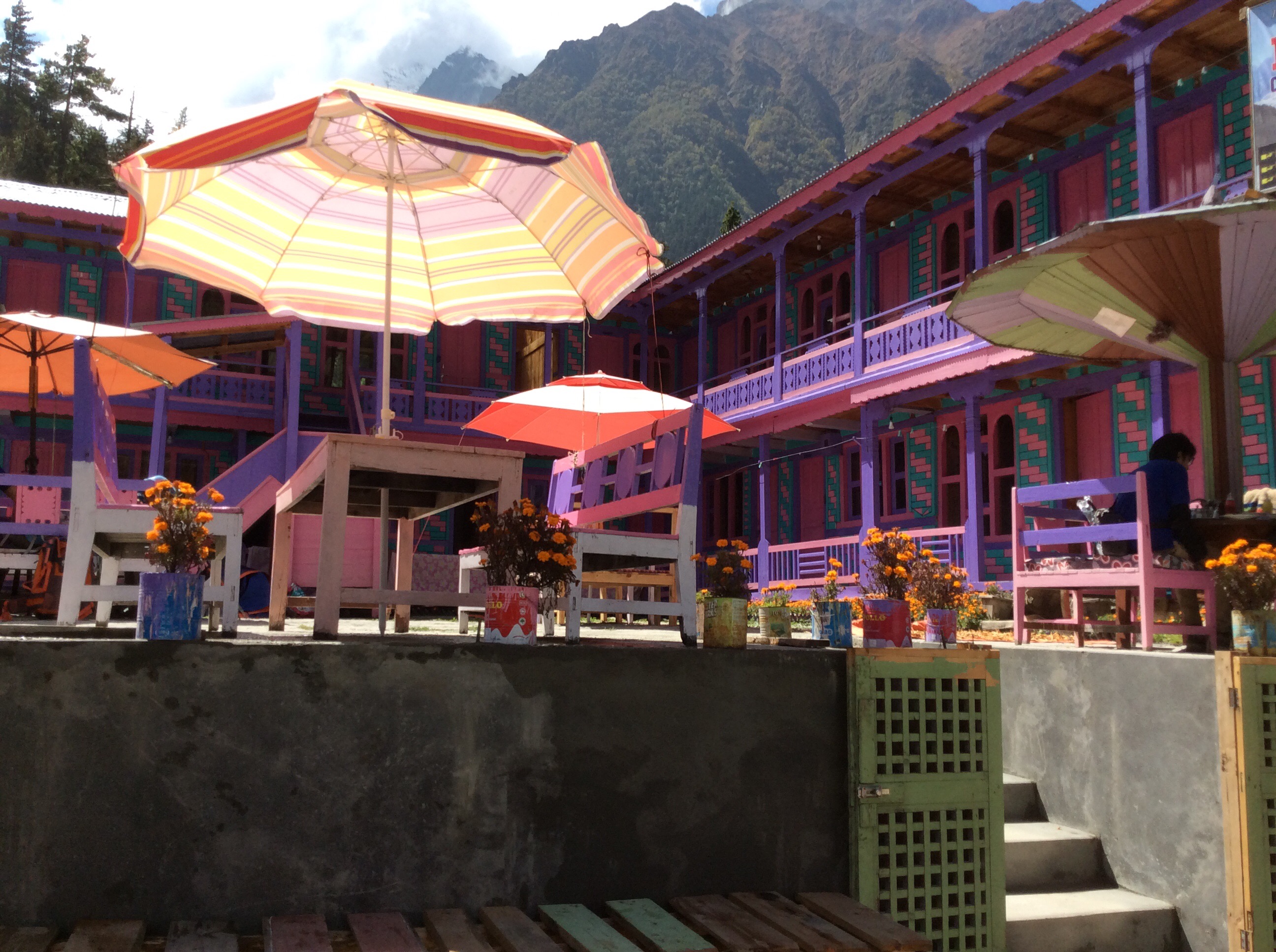
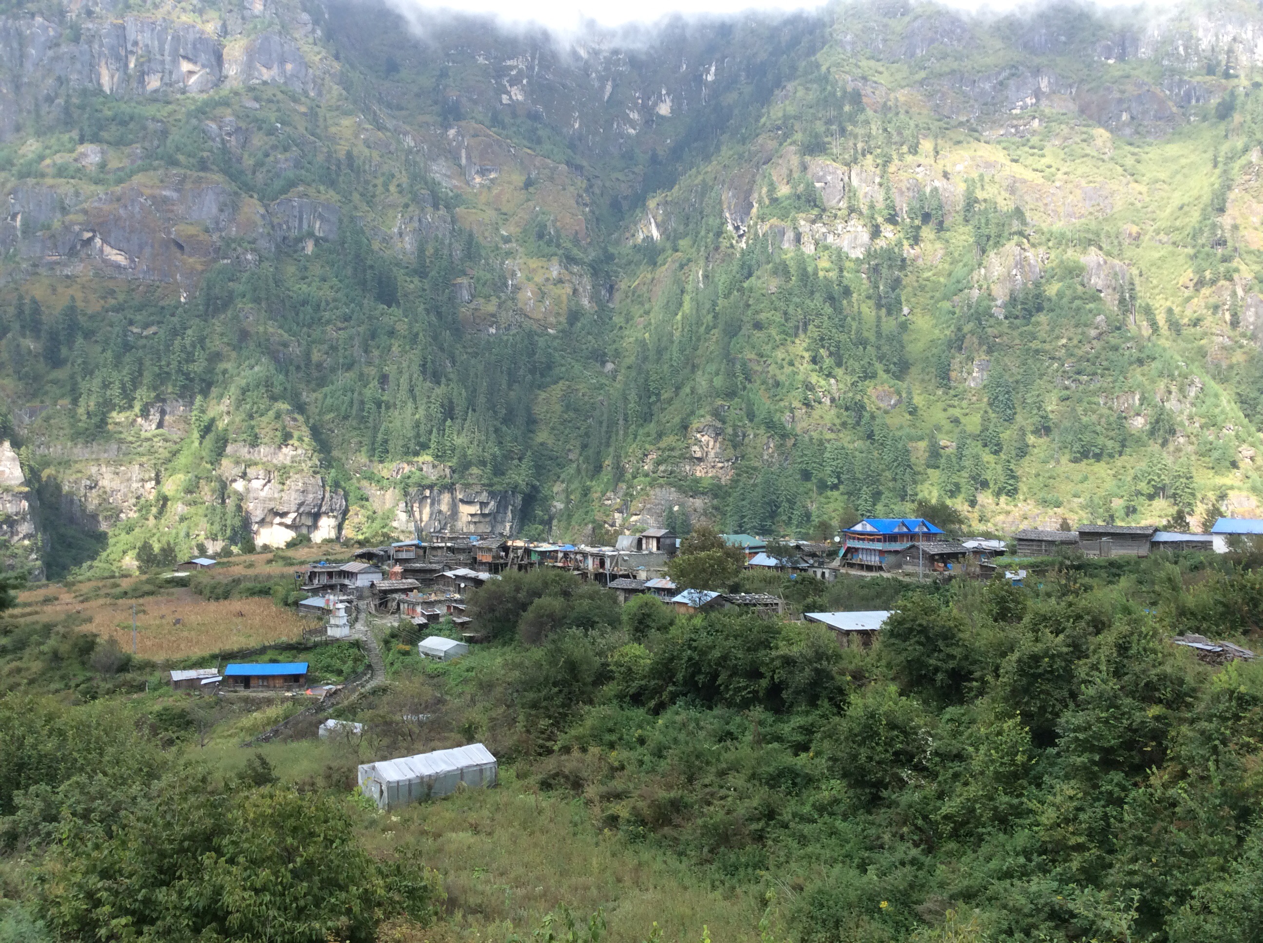
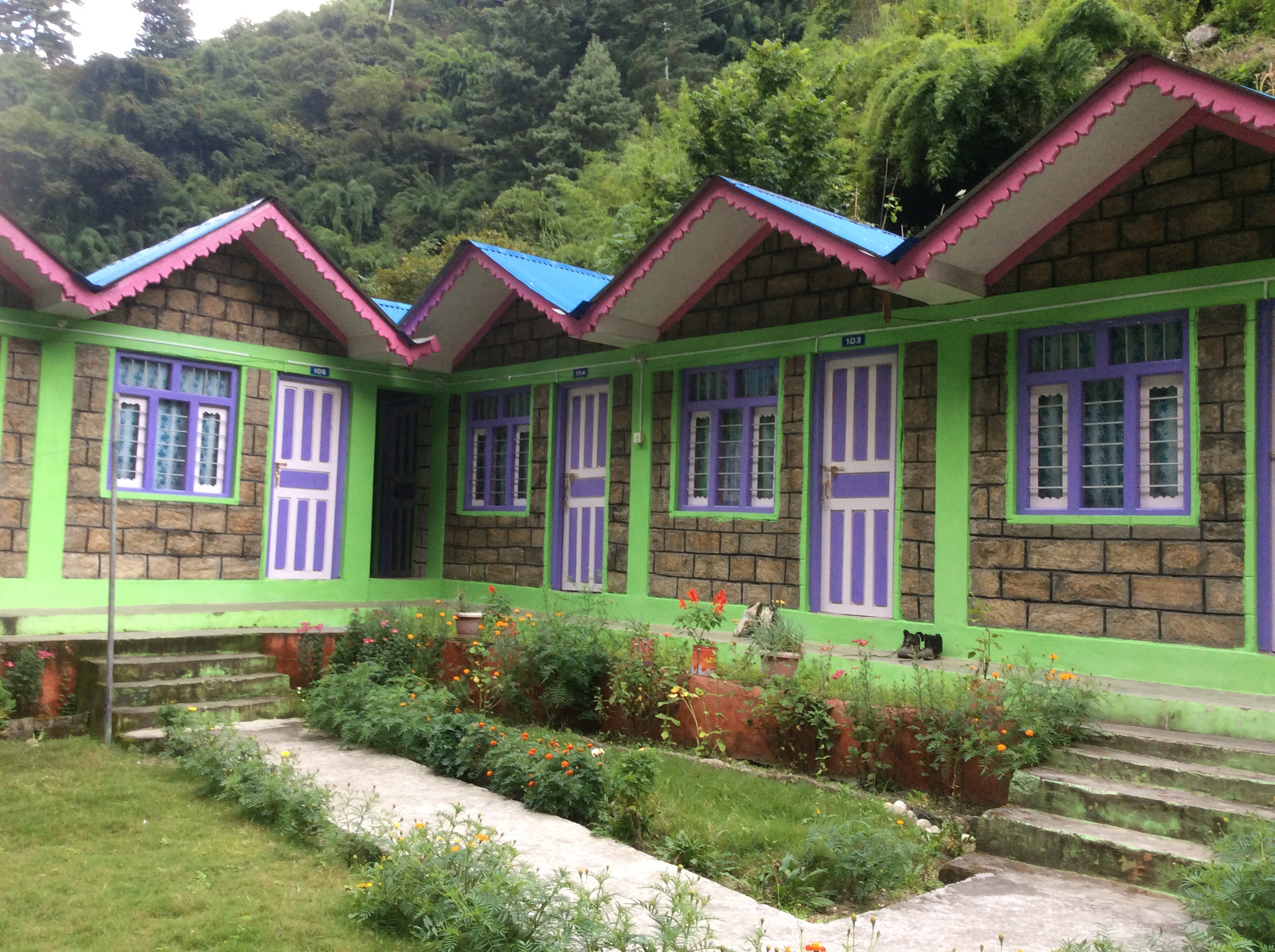
Eventually we arrived at a village for lunch, with beautifully painted guest houses.
Lunch was eaten on the roof of a restaurant and looking back the curvature of the rock was clear. Locally this rock face is called Heaven because people do climb it but never come back.
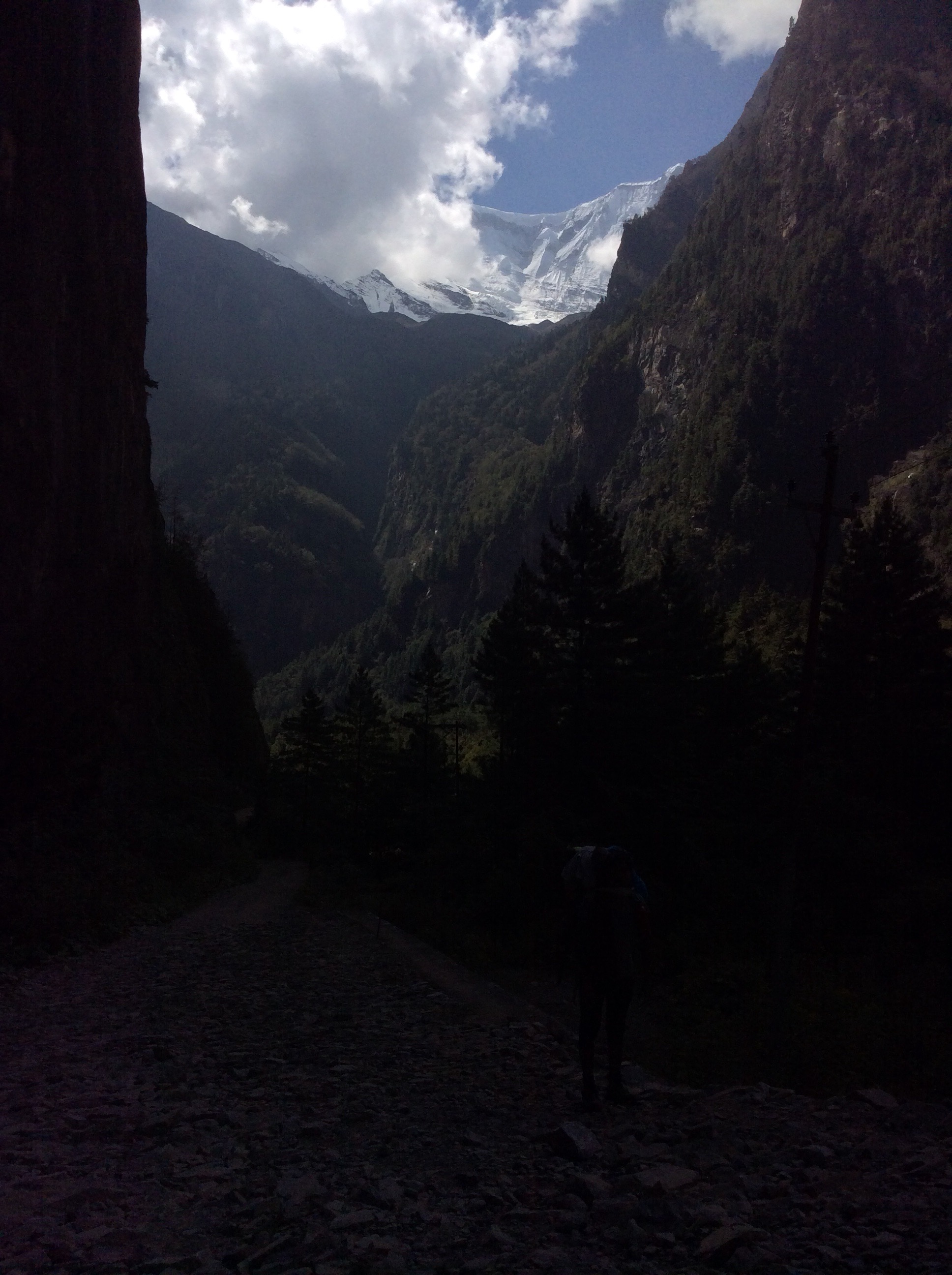
After another hour and a half, having crossed the river again and climbed a hundred or so metres up the valley side, we came to Upper Pisang where we were to spend the night. A two storey wooden structure clinging to the slope, with a view southwards towards Annapurna IV. Later in the afternoon the cloud on the tops cleared a little. Wow wow wow!
We were at 11,000 feet, well within the high altitude zone where individuals are prone to altitude sickness. We drank lots of water coupled with a good night’s sleep.
Night night.
Dharapani to Chame – I don’t like your altitude (2nd blog in 12 hours)
A great night’s sleep. In bed by 7.30pm and asleep (bar 1p) until 6.30am. Ten hours at least. My Achilles was aching but Prem soaked it with a rag dipped in boiling water and salt. Christ, that was frickin hot, but over the course of the day it helped. And after masala tea and porridge for Jet, and milk tea with omelette for me, we set off. And almost immediately a real big mountain came spectacularly into view.
I’m sorry to jump time sequence, like Pulp Fiction, but as I’m sat here in the cosy kitchen of our tea house this late afternoon, there is a flute player around the corner tripping out Himalayan music. It is enchanting. The smell of wood smoke, maybe some incense, and certainly curry cooking in the village evokes emotion. I love this. Trekking frees up my sense of smell, which is usually restricted to Donald Trumps. Back to Bruce Willis in the morning.
Walking up the valley and more mountains came into view. With the moon hanging over the range.
Looking back the clouds were hovering on the mountainsides but were white and billowy, not dark and grey.
After a while a footpath cut up the hillside away from the track, and we followed it up ancient steps. The sun had come round into the valley but this way was shadowy and winding in some shade from the heat of the sun. Jet was taking the climb in her stride, although I was struggling a bit with the steepness and some pain, but not a lot, in my Achilles.
We came to a tea shop and I asked if we could stop for a cuppa. Then a bunch of Jet’s like minded crew came down the hillside.

And they gathered in the relatively luxurious vegetation around the water tap; until they tried to eat the clothes there for washing and were chased away by the lady of the shop.
It was another couple of hours before we arrived at the village for lunch. Jet tucked in to rice and cheese omelette and I copped for fried potatoes with vegetables and local wild mushrooms. Great, great, great. Reinvigorated and energised we left the village and set off for Chame.
We nailed it. Heel painless, everyone on form and we were born, born, born….. born to be alive. Which has to be the crappest rock lyric in all of history. The track followed the river, although high above it. This photo doesn’t capture the steepness of this rock face. Very steep.
As we approached Charme we crossed a brow and something miraculous happened. And it had to be pointed out to me. Above the first layer of clouds to the left of centre are some unusual white shapes. Annapurna 2 at 7,900 metres. Oh my giddy frickin auntie baby! Out of this world. Clearer photos over the next few days I’m sure.
We slipped into Chame and ensconced ourselves in the Moon Over guest house. Around the corner from this shrine.
8,000 feet, moving into the ‘altitude zone’, I can expect to be short of breath. Tell this asthmatic something new.
Night night.
Jagat to Dharapani – Running up that Hill (no problem)
These aren’t hills, these are monsters. We haven’t seen the half of it yet, but enough to know that these are the behemoth of the mountain race. The Beginning of the Roof of the World. But it’s not one of those ‘I can’t believe that I’m here’ feelings. It’s normality in a fantastic place.
Asleep last night by 8.30pm and awake at 5.30am. One pee and no other disturbances. Omelette and Tibetan bread for breakfast, Jet had porridge again, and off by 8am. It takes a while to repack the rucksacks and get everything ship shape.
Jagat is above the river, a river we are following from the start all the way up to Thorong La pass, the highest pass in the world, on day 13 or 14. Not sure.
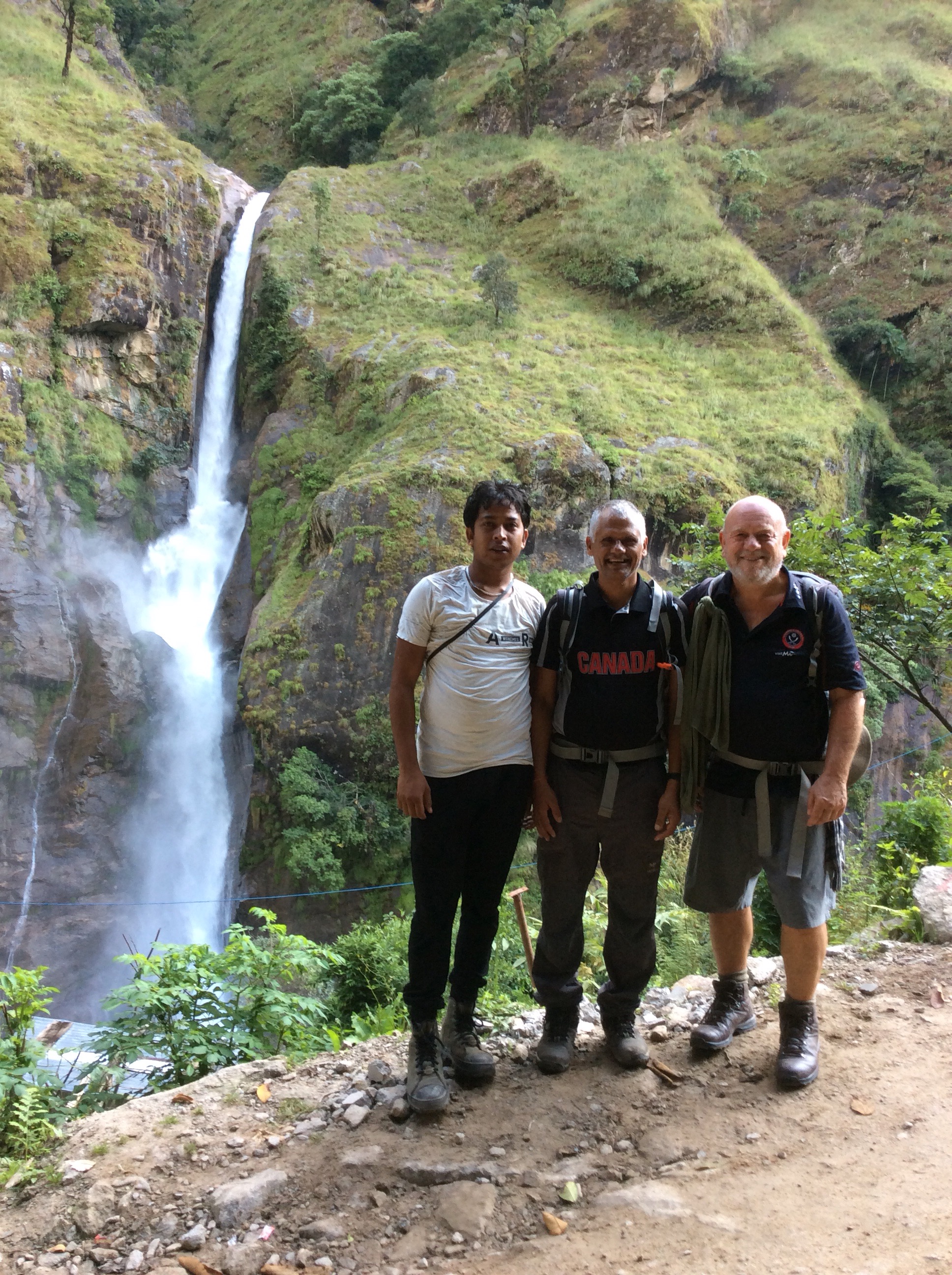
But it’s day 3 now and we’re on our way down to the river, over another modern footbridge and then up the opposite bank on narrow footpaths for 7 hours up to Dharapani. Before we got to the footbridge I posed with Sulis and Prem against a background of a huge waterfall.
And then the bridge.
The climb up was steep and getting hot, although we were getting up around 6,000 feet so we were expecting things to cool down. Unfortunately I had a soreness on my Achilles which, all of a sudden, turned into a tearing pain from my heel to halfway up my calf. Now, like baston we’re going to have to use another word for something else. Let’s call it ‘frick’ as any fan of Gold Rush on the Quest Channel would be familiar with. Anyway it frickin hurt and I shouted in pain. Luckily I could still walk with a hobble and we weren’t far from a tea house where we got some water and a decent surface to strap up my lower right leg and be administered Ibuprofen by Jet. Not good but not bad. I could still walk if I took it slowly and the pain was easing.
After 43 years of playing football, and lots of trekking since retirement, this was the first leg injury I’ve ever had. Broken toes and damaged feet, broken ribs and leg cuts and bruises, concussion and chipped vertebra, yes, but no leg injuries. Frickin old baston!
And after a mile or so further uphill we came across a natural painkiller.
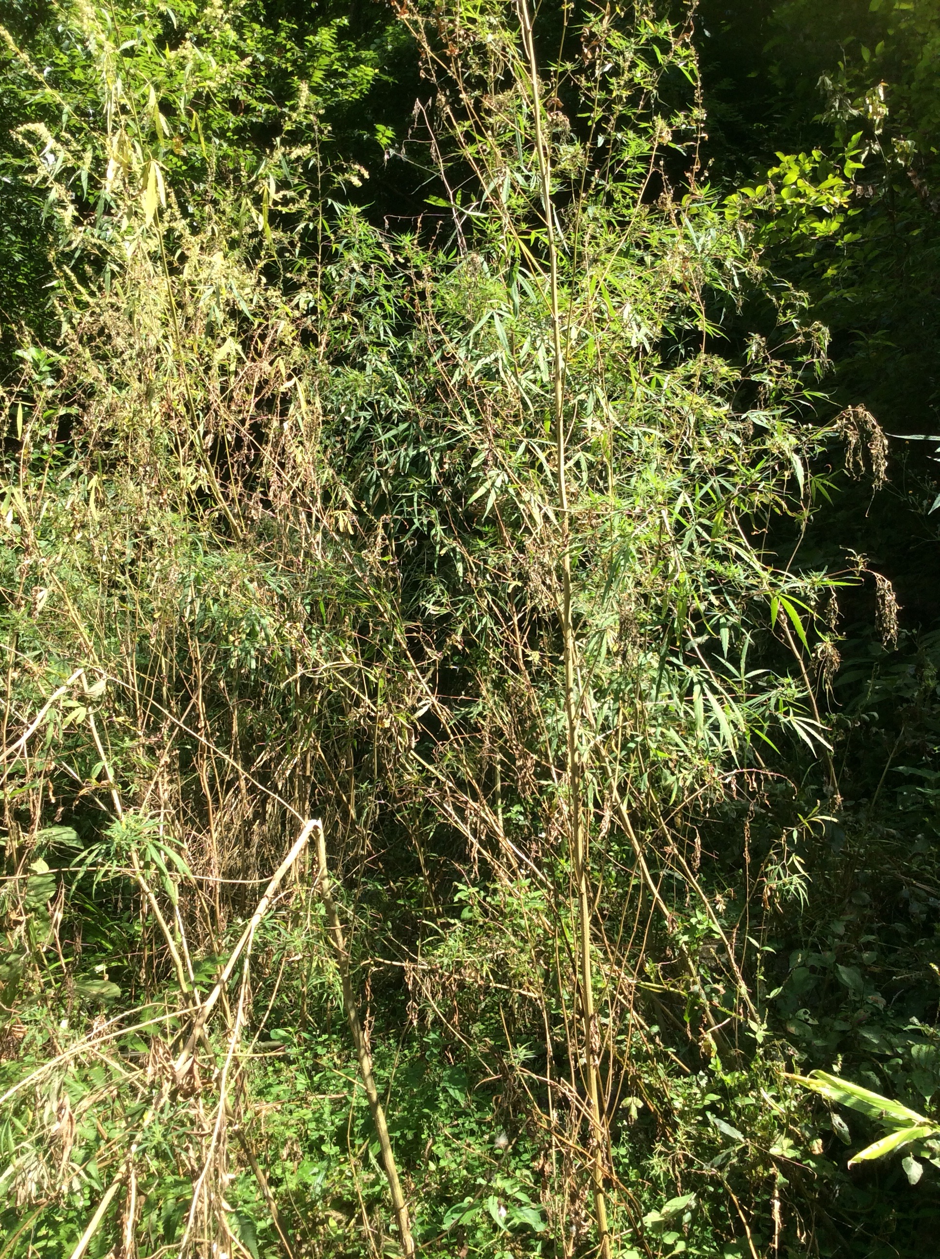
Marijuana grows wildly and freely in this area. It wouldn’t last very long in Roundhay Park.
A final climb before lunch took us to a view point looking back down the steep sided valley.
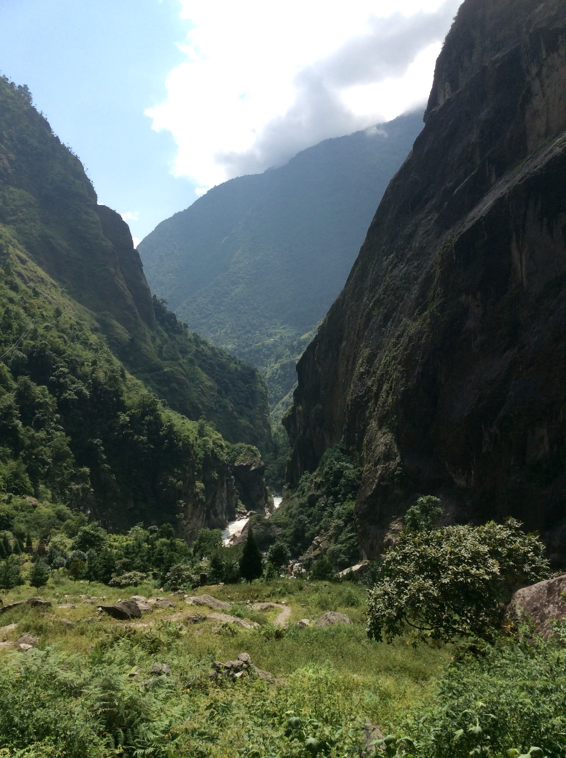
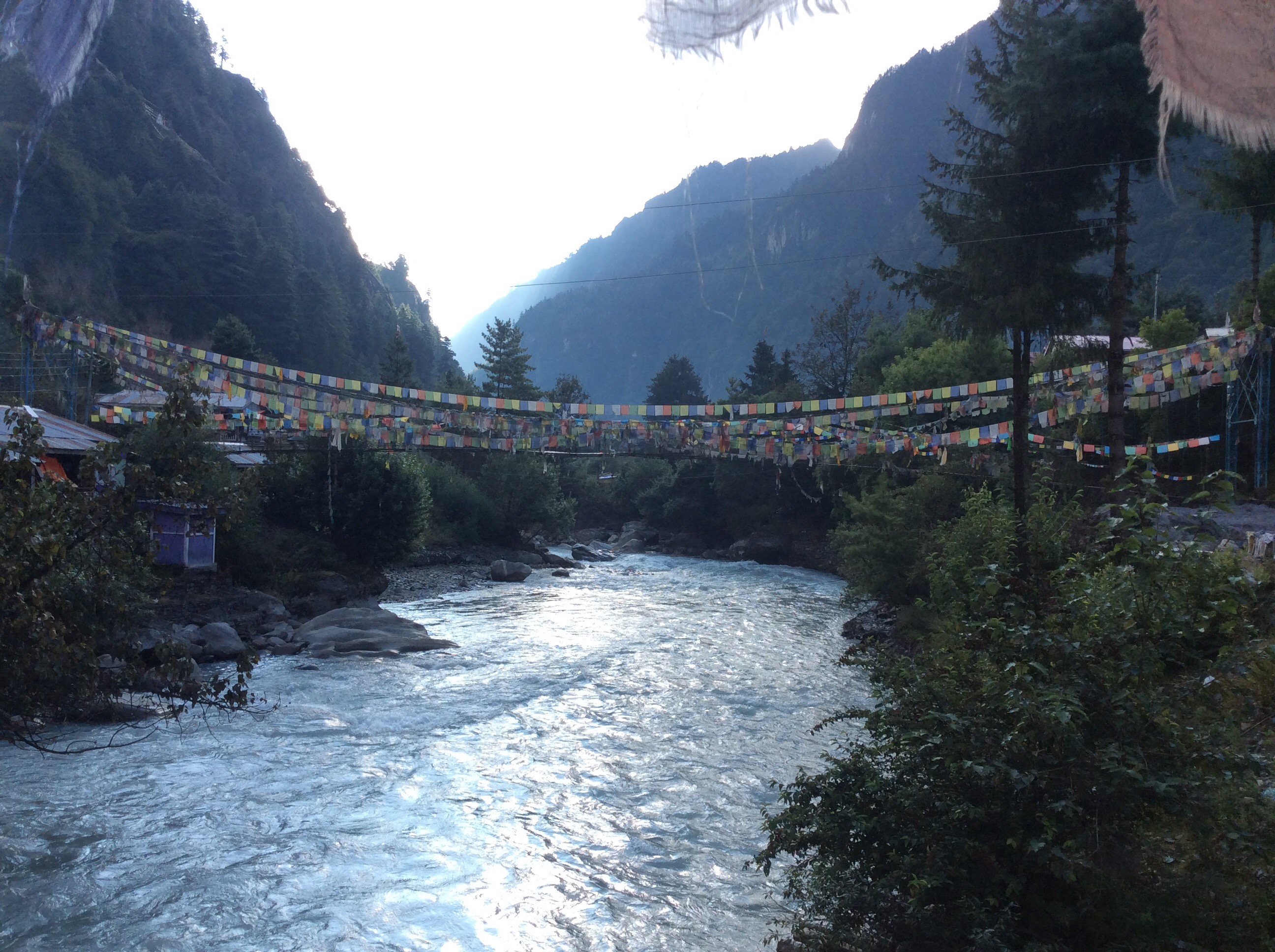
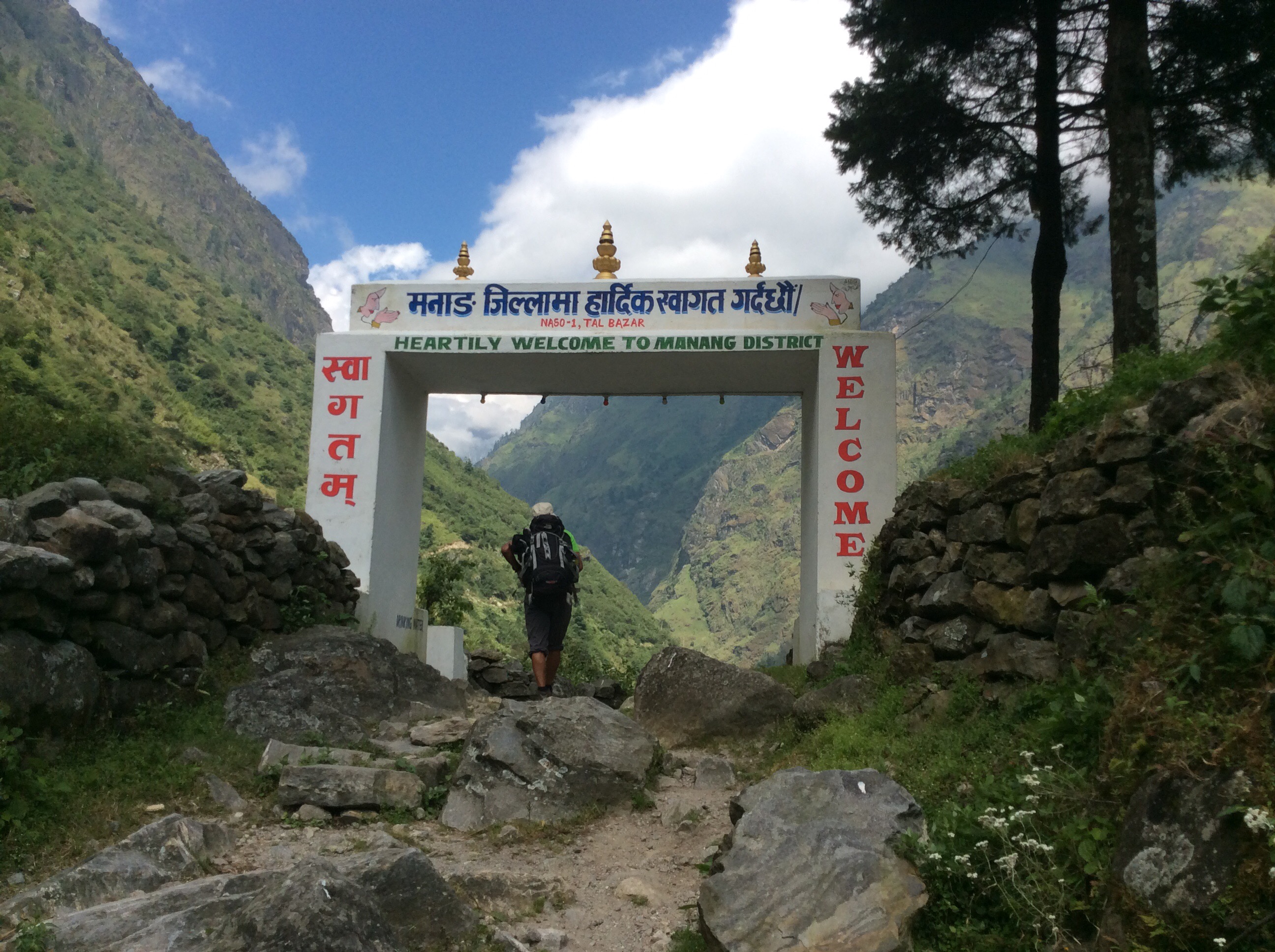
And, climbing forward, to a nick point, which the river came roaring and bubbling over, and beside which we entered a valley through this gate.
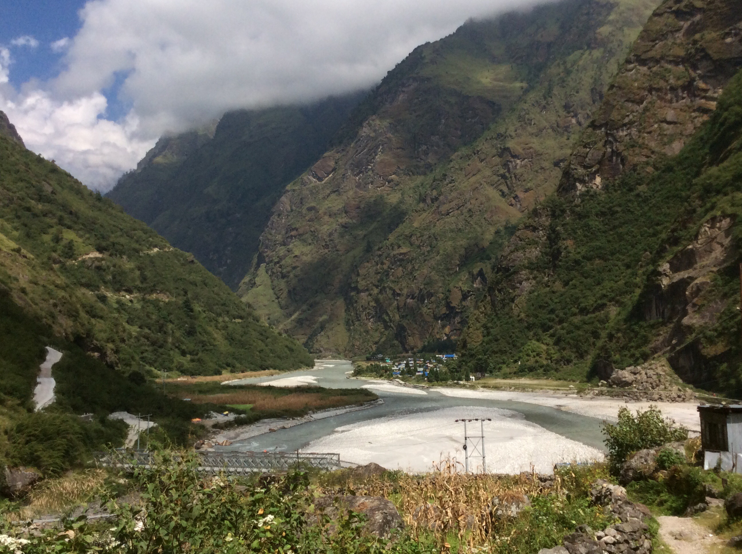
Suddenly the world changed to an old lake bed, flat as a pancake for a mile or two, and the path went on to the village where we were to have lunch.
Fed, ready and off.
The view back down the old lake bed towards the village was beautiful.
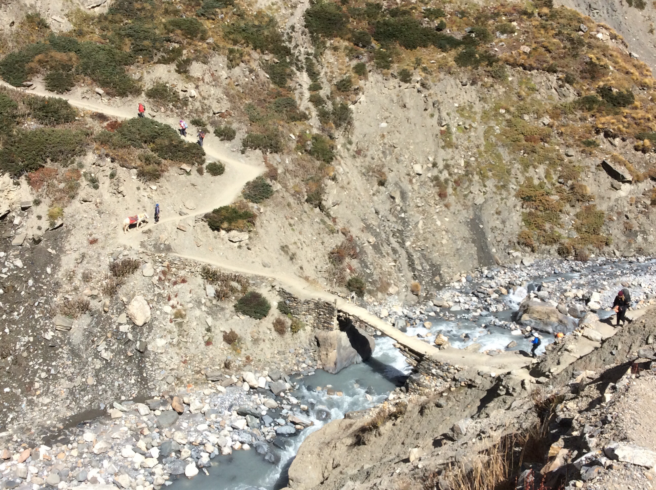
The path was difficult in places. There were sheer drops at the side into raging torrents and there were strong streams cutting across which had to be forded on stepping stones over the edge of the waterfall. Eventually we crossed back over the river and high above a valley cutting down towards us, was a bridge hanging over a 600 foot drop. Glad we didn’t have to cross it!
Dharapani!
And this is our little house – 104!
A good shower, a good meal and early night. Perffick.
Night night.
