Horton to Malham – Getting Closer to Edale
The route today is fifteen miles, climbing up Pen y Ghent and dropping down to climb up Fountains Fell and on to Malham to meet my sister Debs at a campsite.
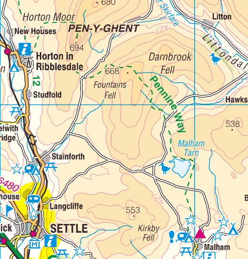
Pen y Ghent stands over Horton in Ribblesdale like a sleeping giant.
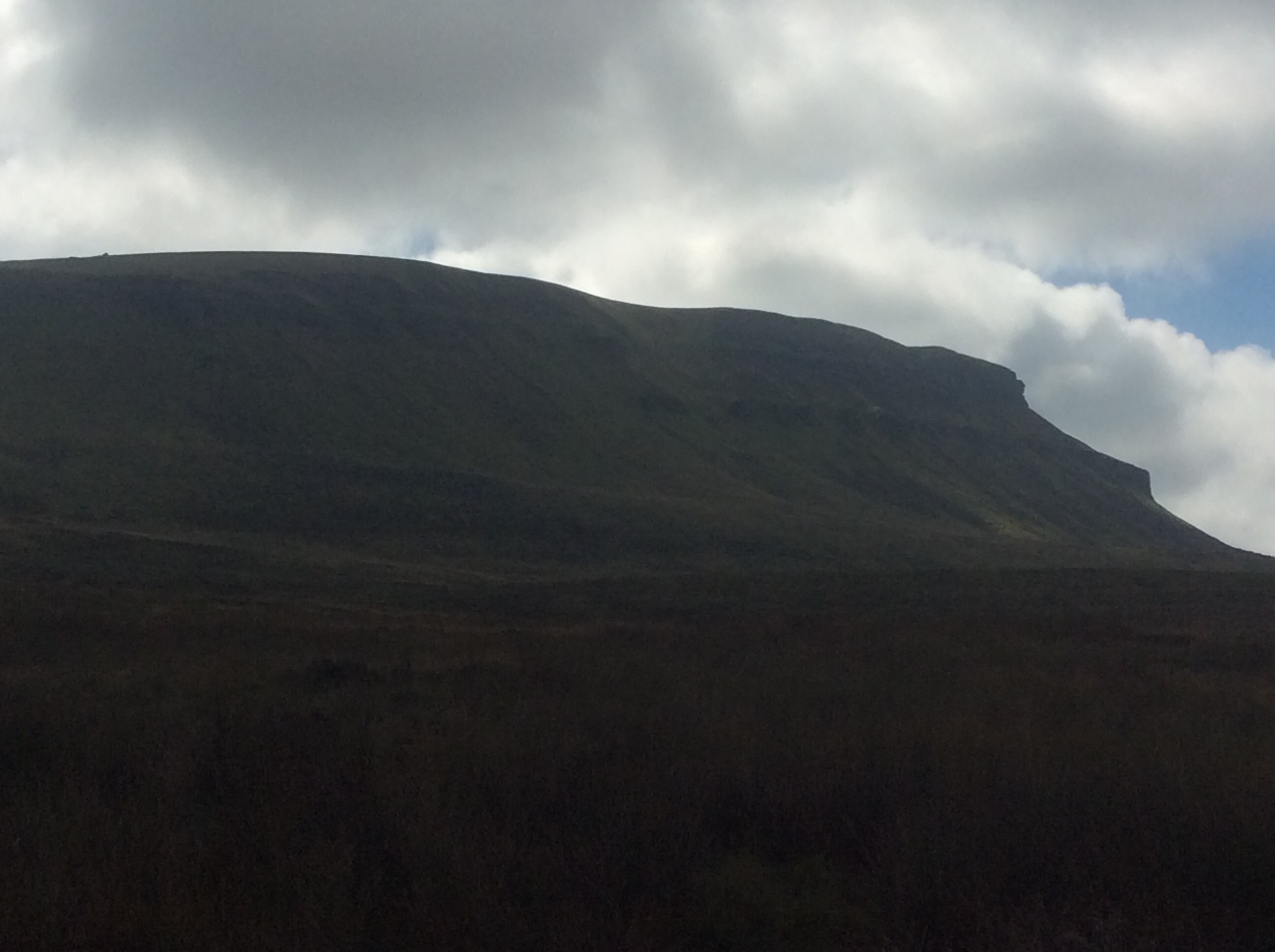
It’s a dog of a climb up and there were plenty of people trying it. Perfect for a family who want to be challenged, first part of the Yorkshire Three Peaks and the summit is crossed by the Pennine Way. The view from the top is great.
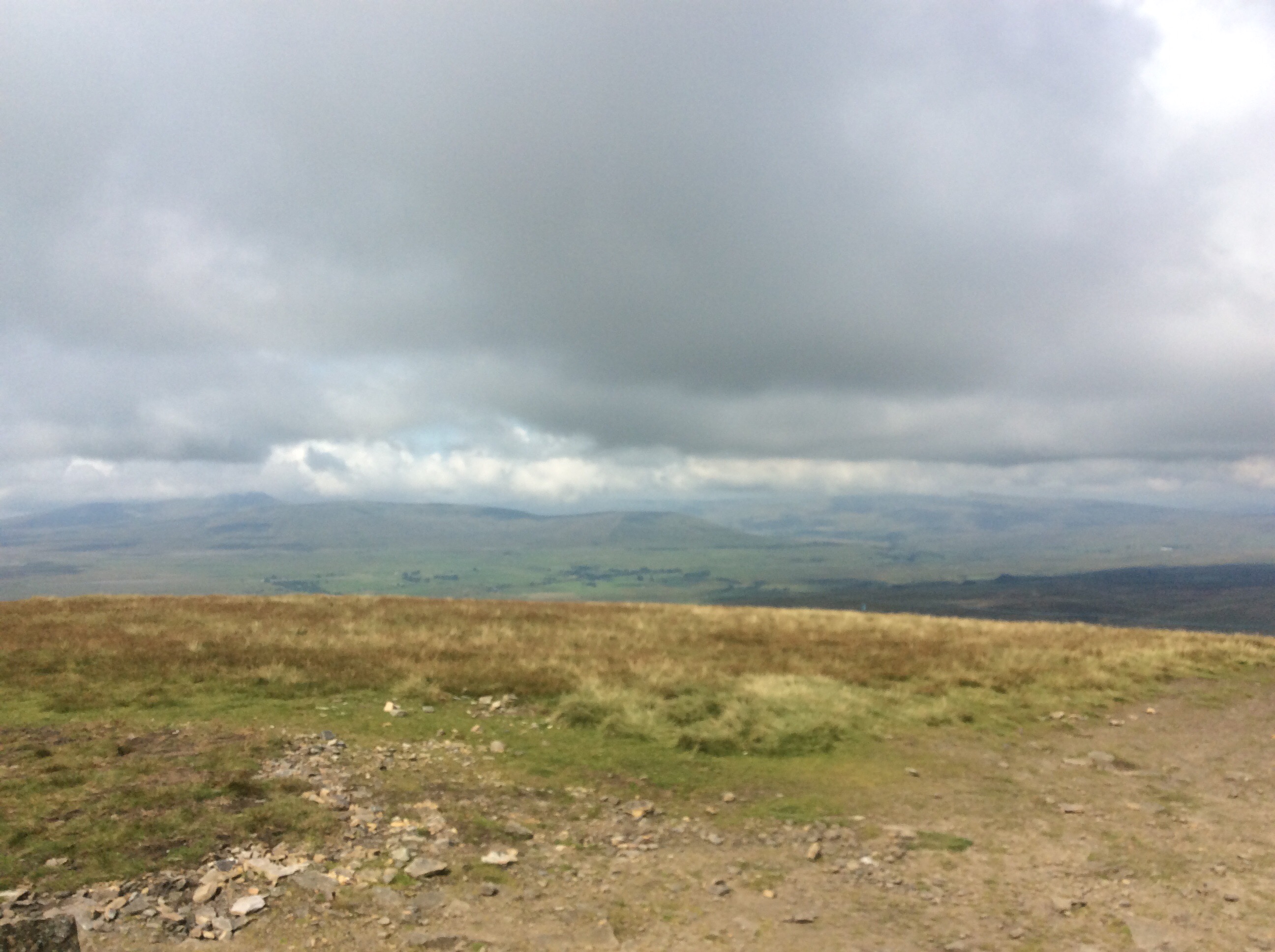
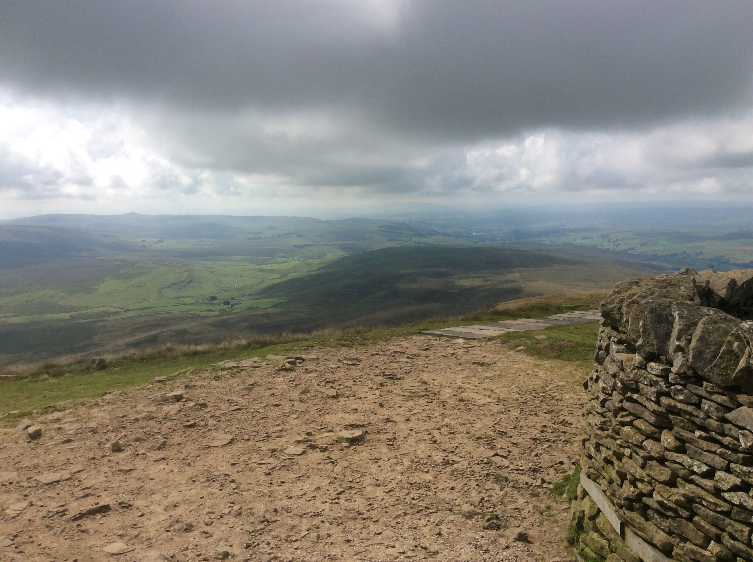
The south side drops steeply down and the Way traverses a couple of miles of moorland before pitching up the side of Fountains Fell. From this angle you can see Pen y Ghent and, to the left in the far distance, Ingleborough.
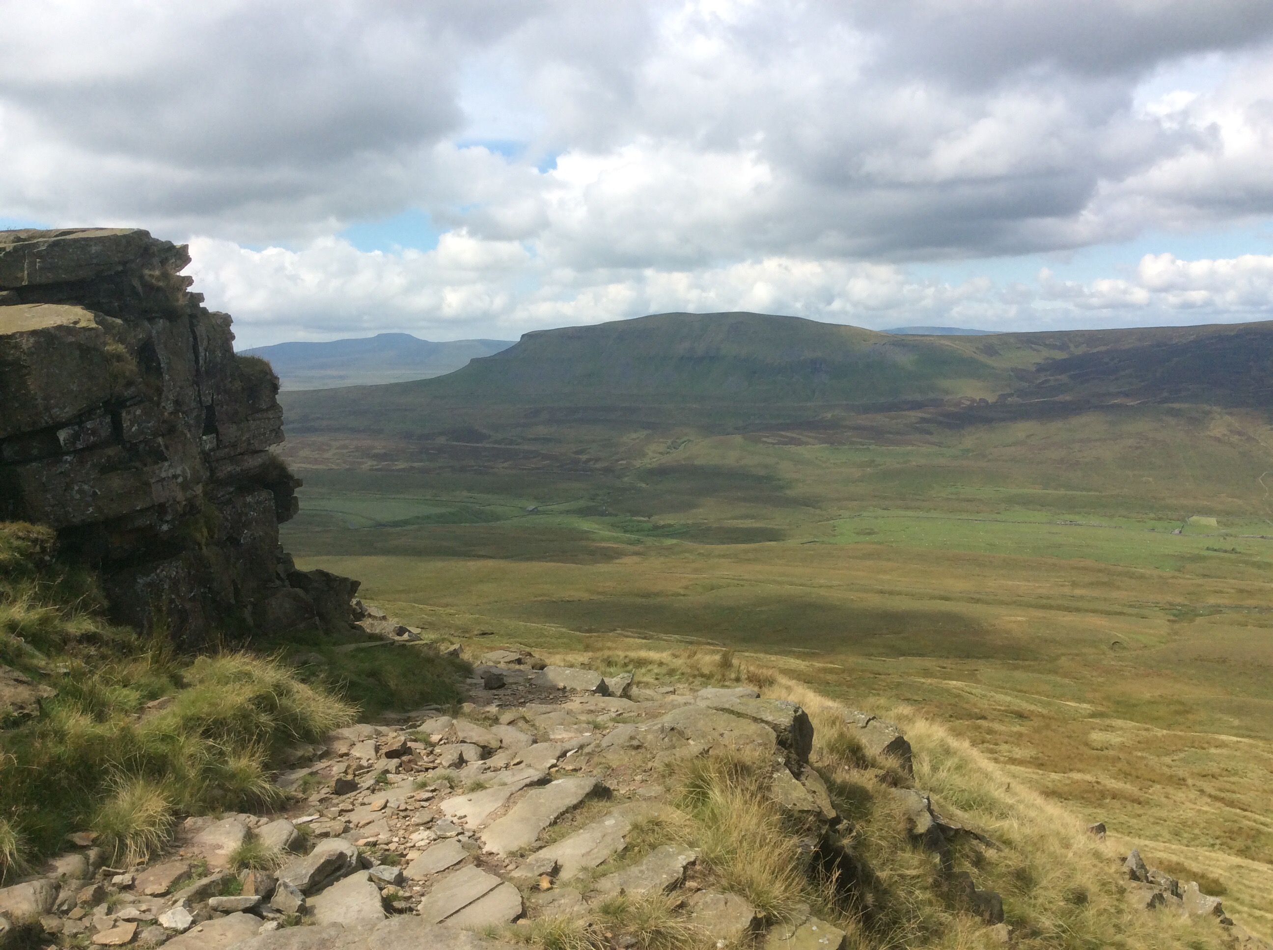
A good day for walking. Bright and breezy. Heading southeast the view goes over towards the far distant North Yorkshire Moors beyond York, just to the right of centre on the far horizon.
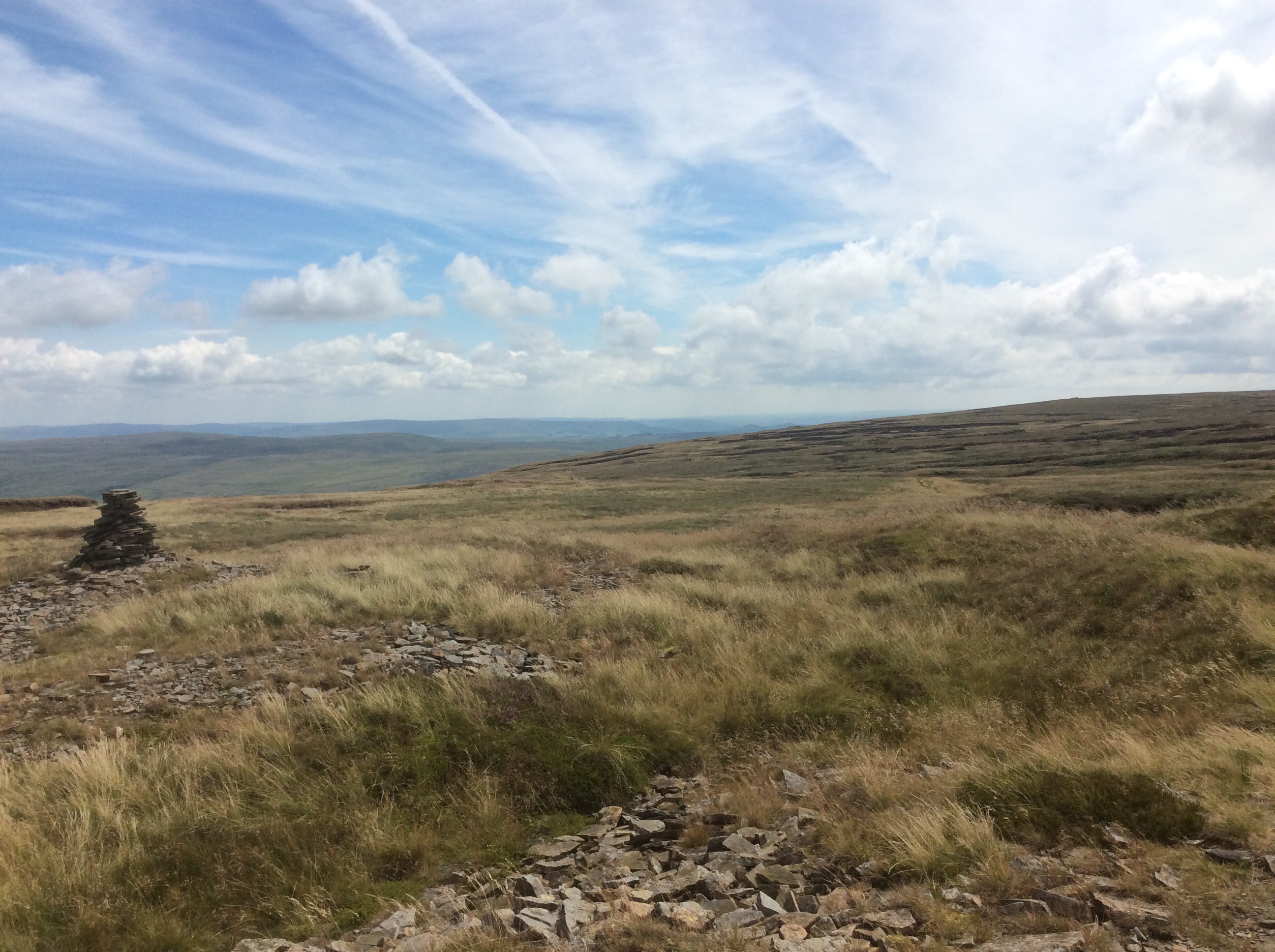
Dropping down over the back of Fountains Fell the track runs five miles to Malham Tarn, an oasis in the dry limestone valleys.
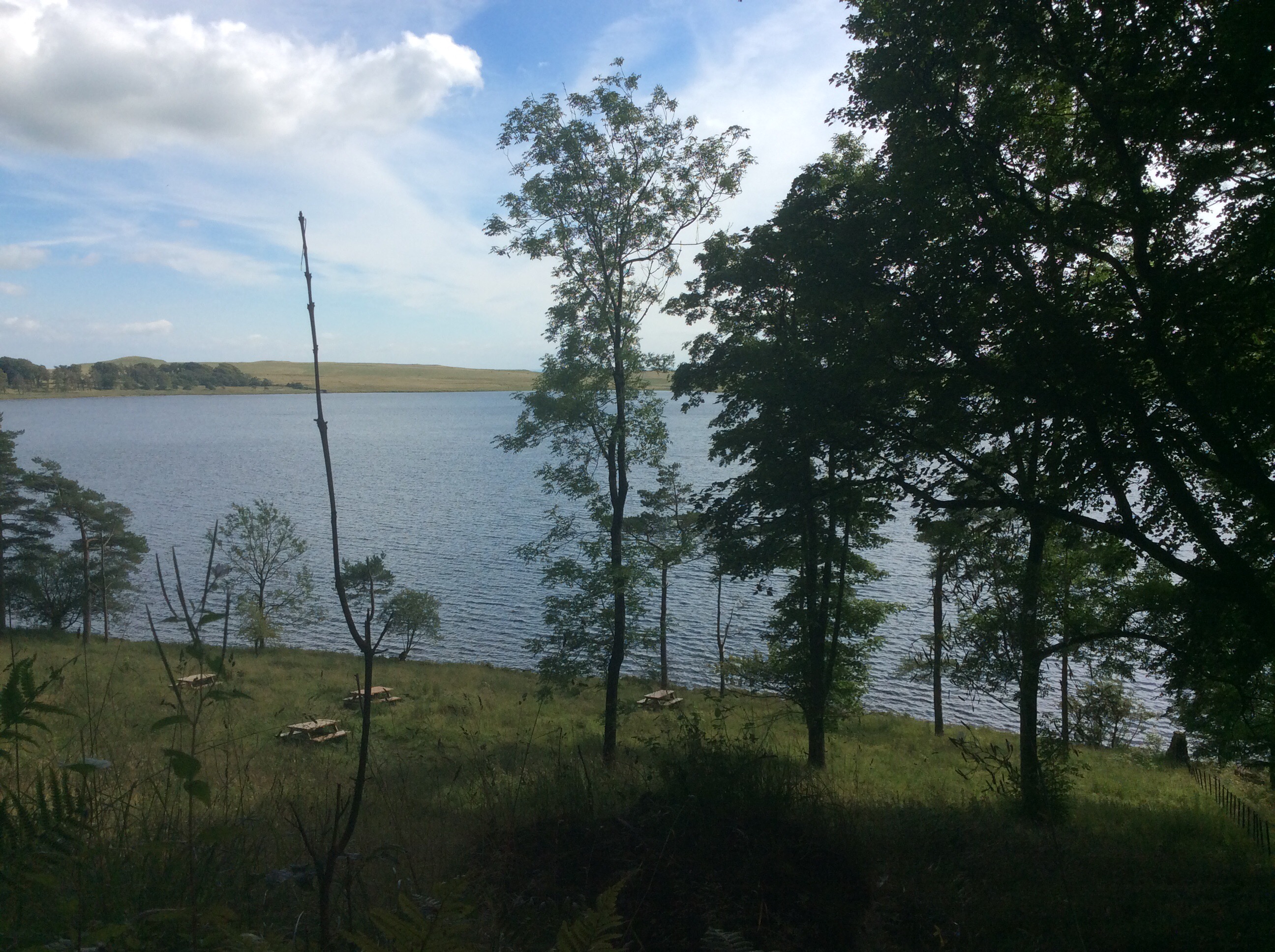
The Way curves 180 degrees round the Tarn, giving lovely perspectives.
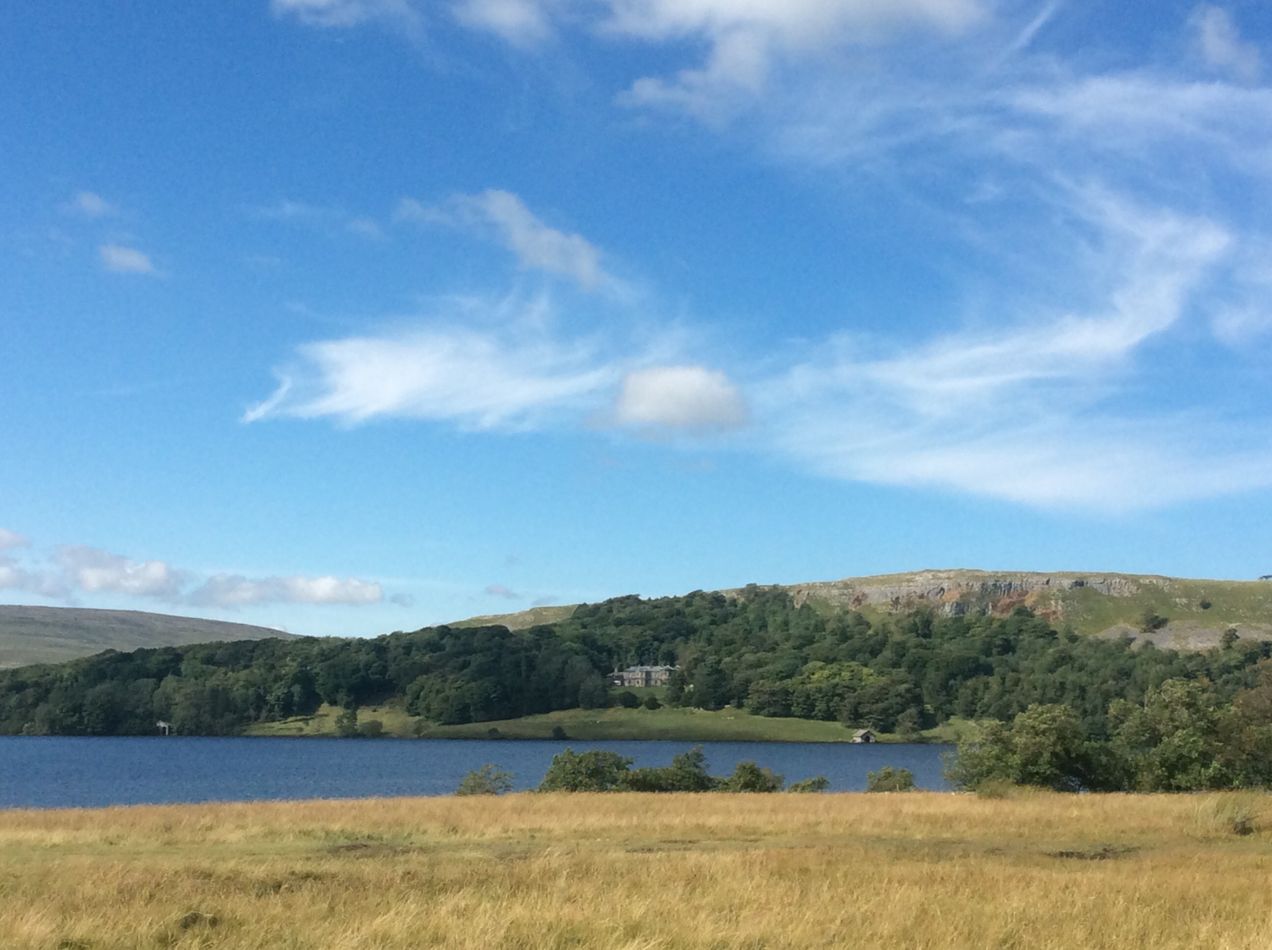
And then drops down a dry valley towards Malham Cove.
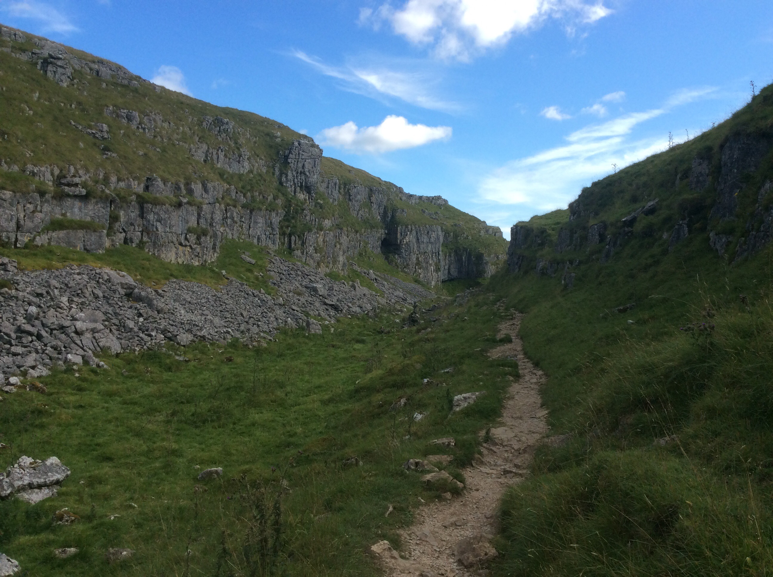
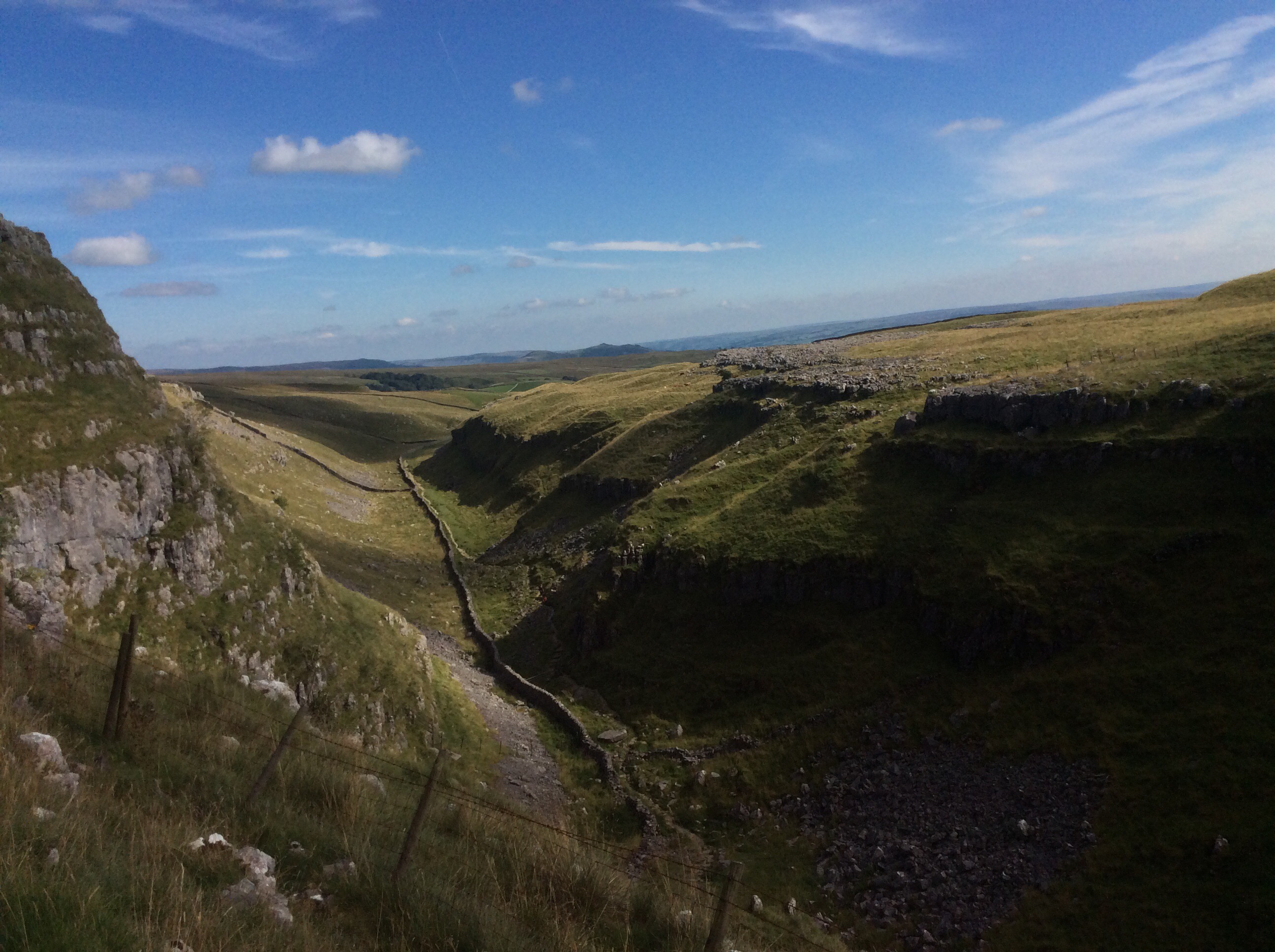
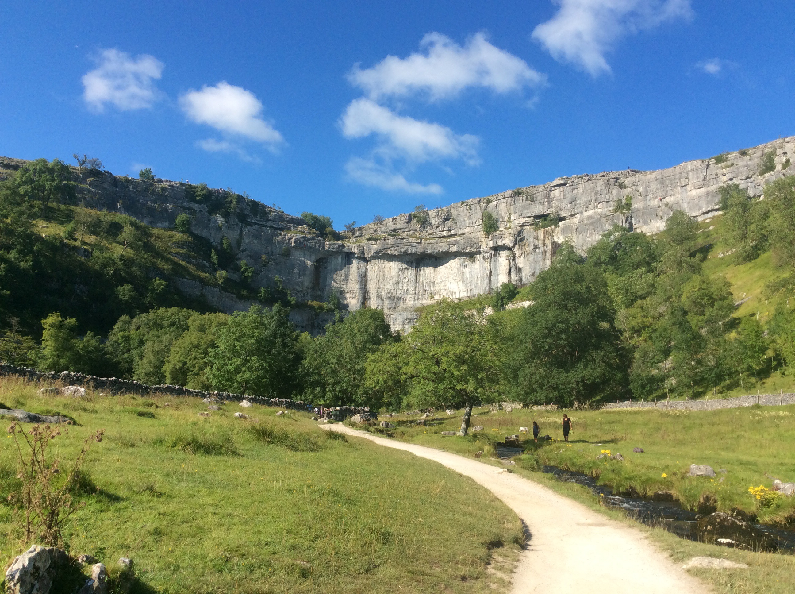
Eventually leading out onto the top of Malham Cove, an amazing crescent shaped cliff over which a stream fell for the first time in living memory during heavy rains earlier this year.

It looks good from below too.
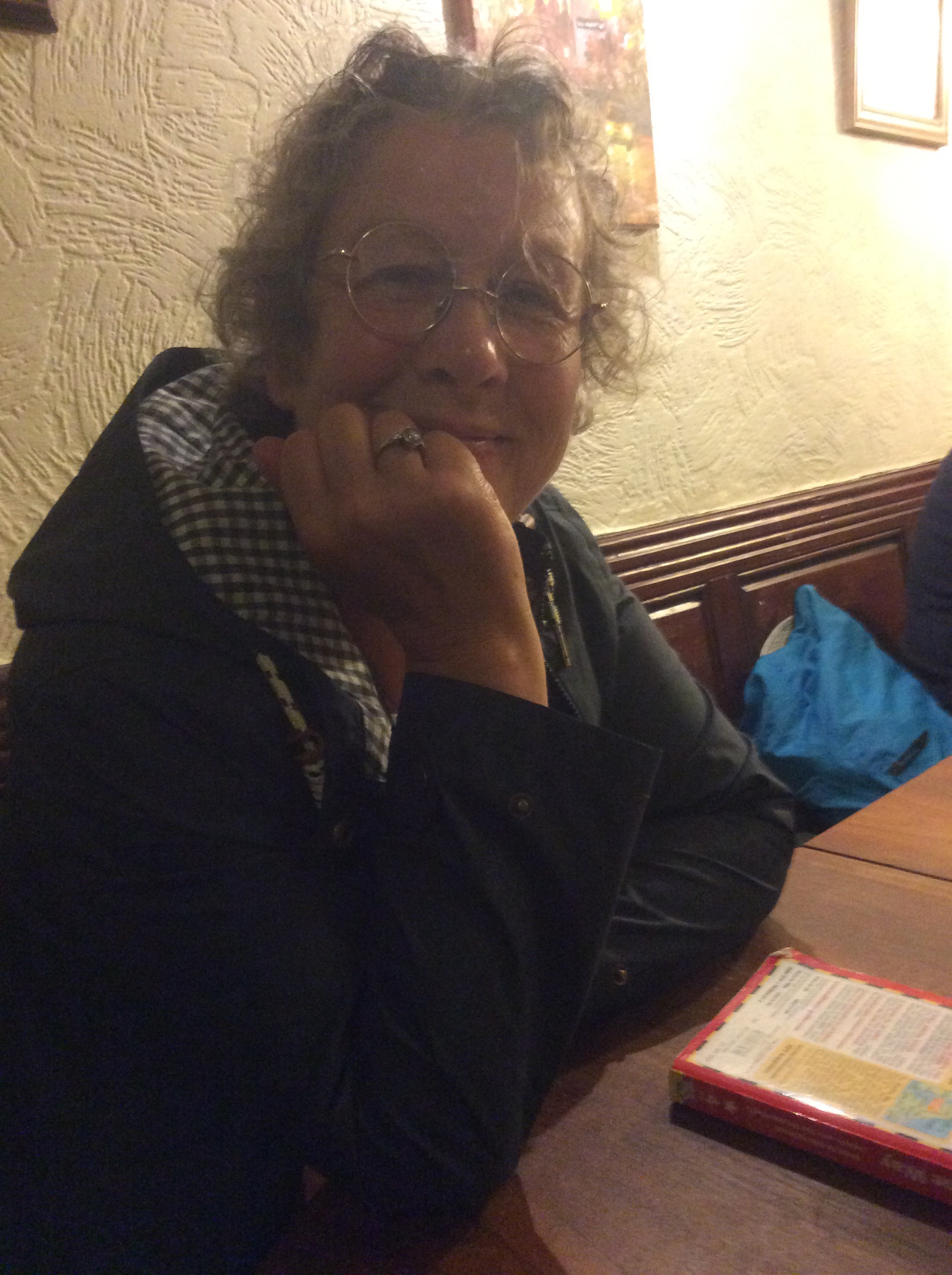
Debs had just put up the tent when I arrived in Malham village. She was up here with her dog. This is Debs (not the dog – haha).
We nipped down to the local for a couple of beers and went back to the tent for barbecued steak, salad and potatoes. A bottle of wine and Deb and her dog retired to her sleep-in van and I got to bed in the tent. A big tent, with a mattress and a blanket over my sleeping bag. Heavenly.
Night night.
Chip Off; the Old Blockhead – Hawes to Horton
Me mate went this morning.

Only kidding. It was really like this.
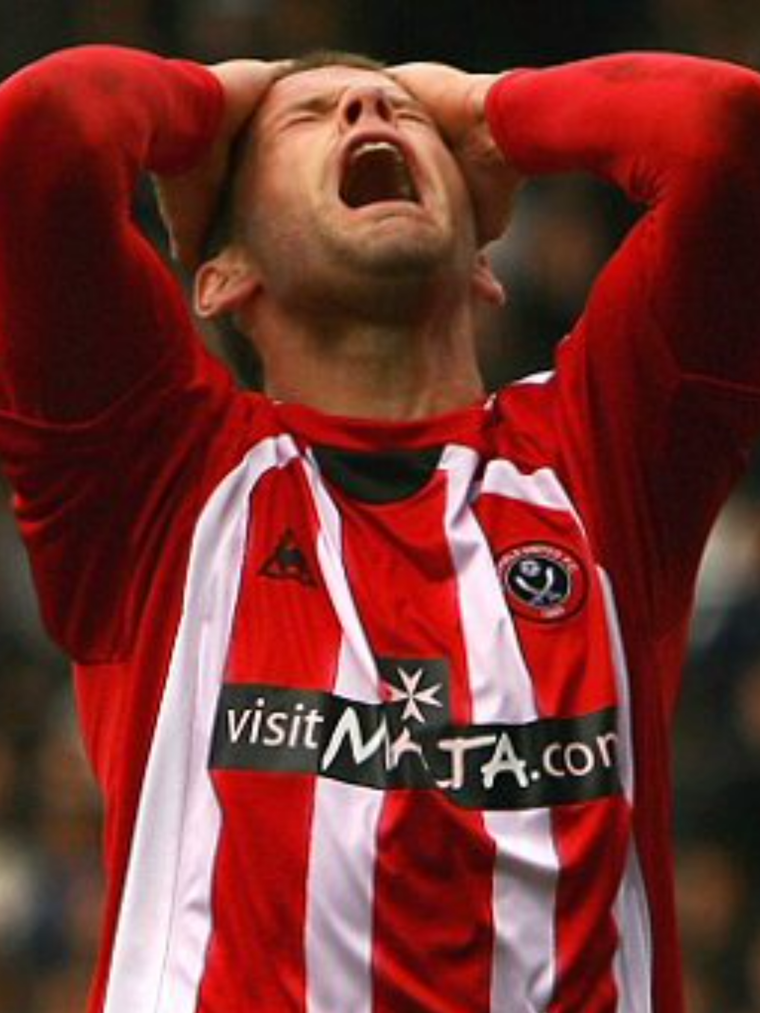
The Bull’s Head Hotel B&B was great. The landlady said straight away that she’d give Chip a lift to the station 11 miles away. In the end her husband did and he got him to the train on time. Pull out the stopper, let’s have a whopper.
See you soon matey Chip, pal, warrior. Pushes himself to the limit. Been fighting a shitty little thing inside him for 5 years and dunt give up. Even pretends he’s an Arsenal fan for laughs. Daft get.
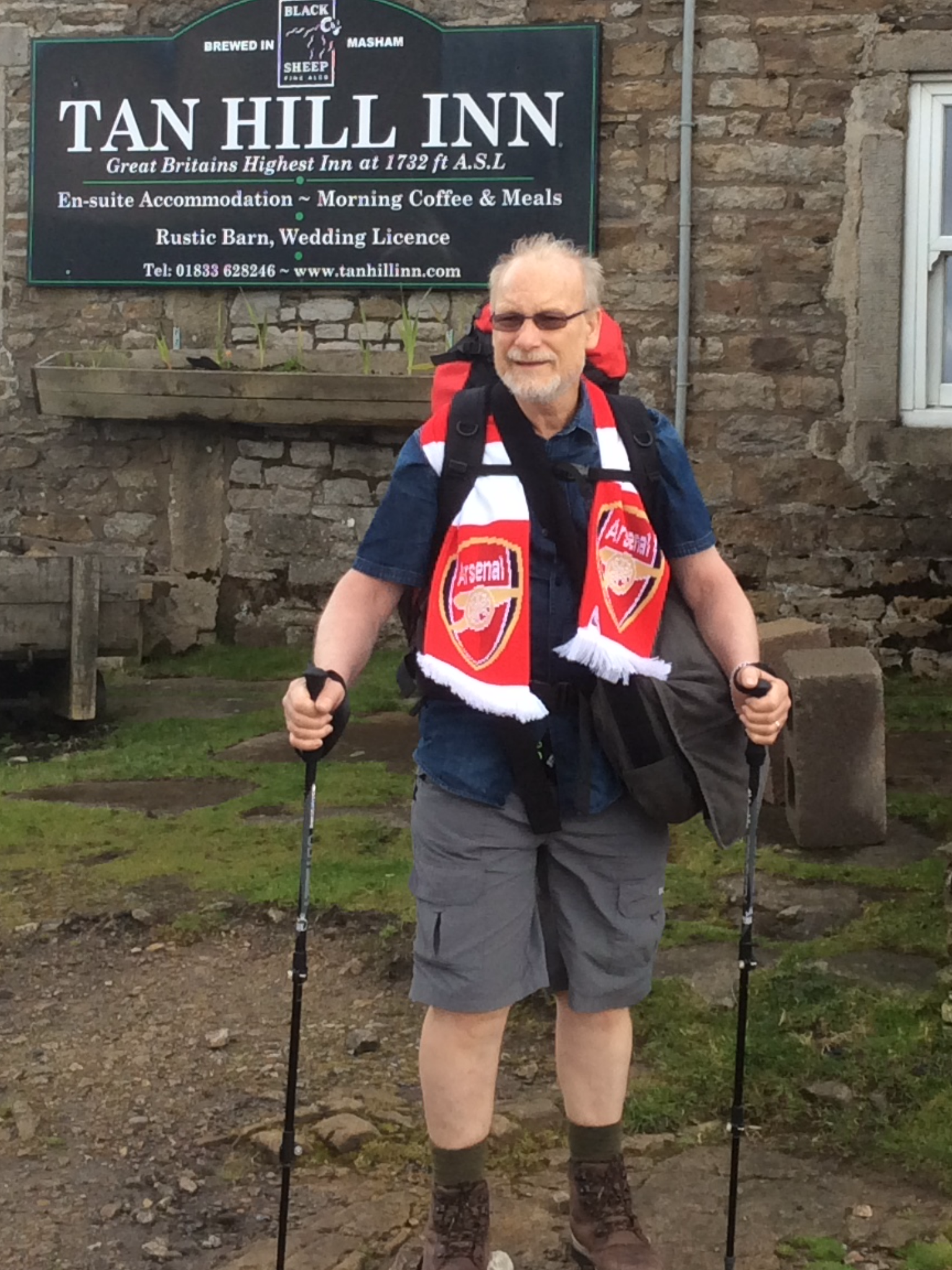
Breakfast was good and I hit the road at 9.30am. A lighter pack as I’d dropped a fair amount of gear at home, clothes and stuff. It was nearly 14 miles today from the Bull’s Head to my intended campsite in Horton in Ribblesdale.
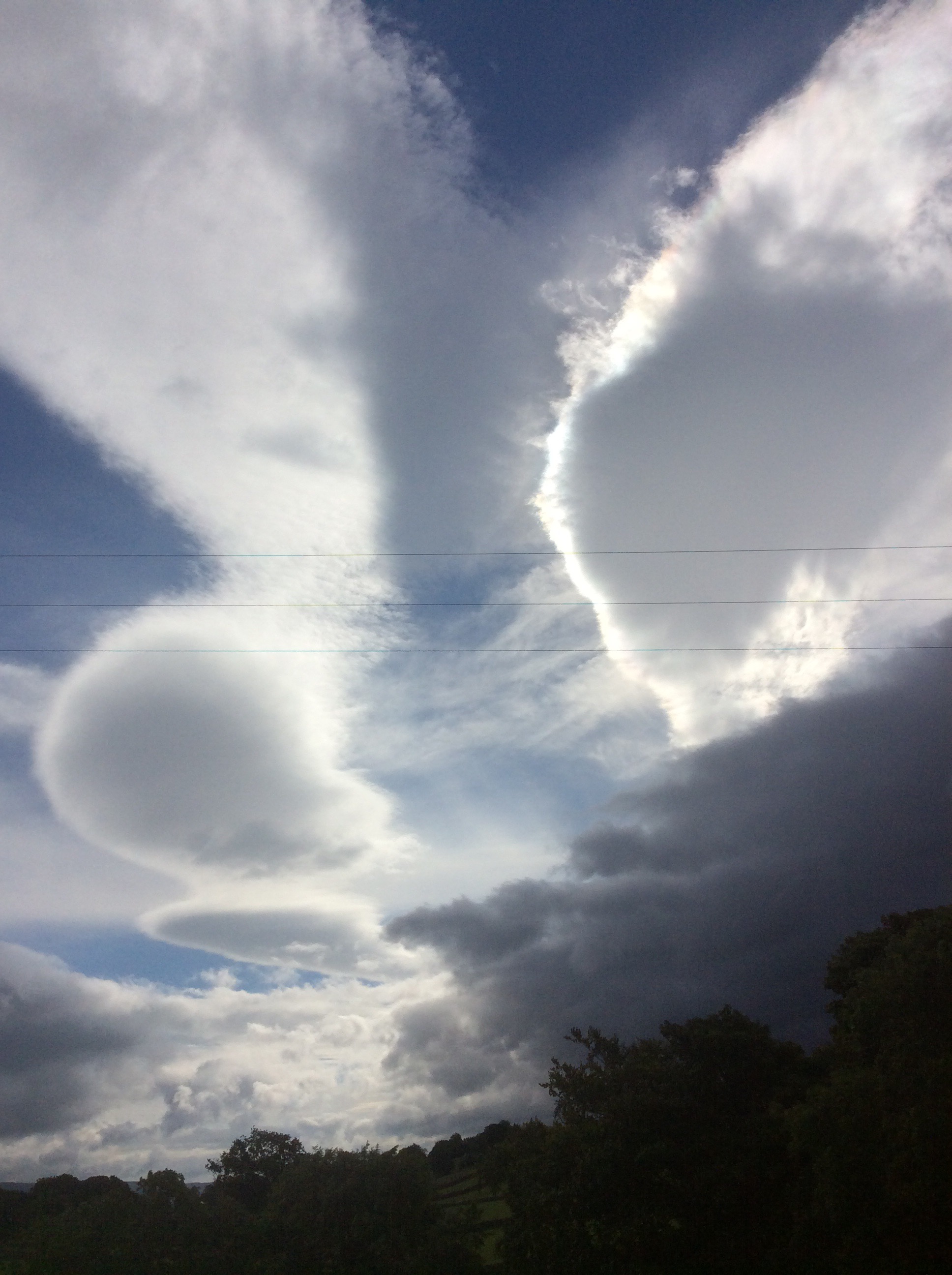
The morning light and clouds produced some great shapes and light in the sky.
I made good time up hill and the first village was Gayle with an old bridge and timber mill, being fed from the river.

And looking upstream the river was lovely.

Higher up the Way I could look back over the village of Hawes and the clearing sky being driven towards me on a northerly wind. Wensleydale. I love your cheese.

Up, up and away and a first view of Whernside to the right and the stately pile that is Ingleborough to the left. Two of the 3 Peaks.

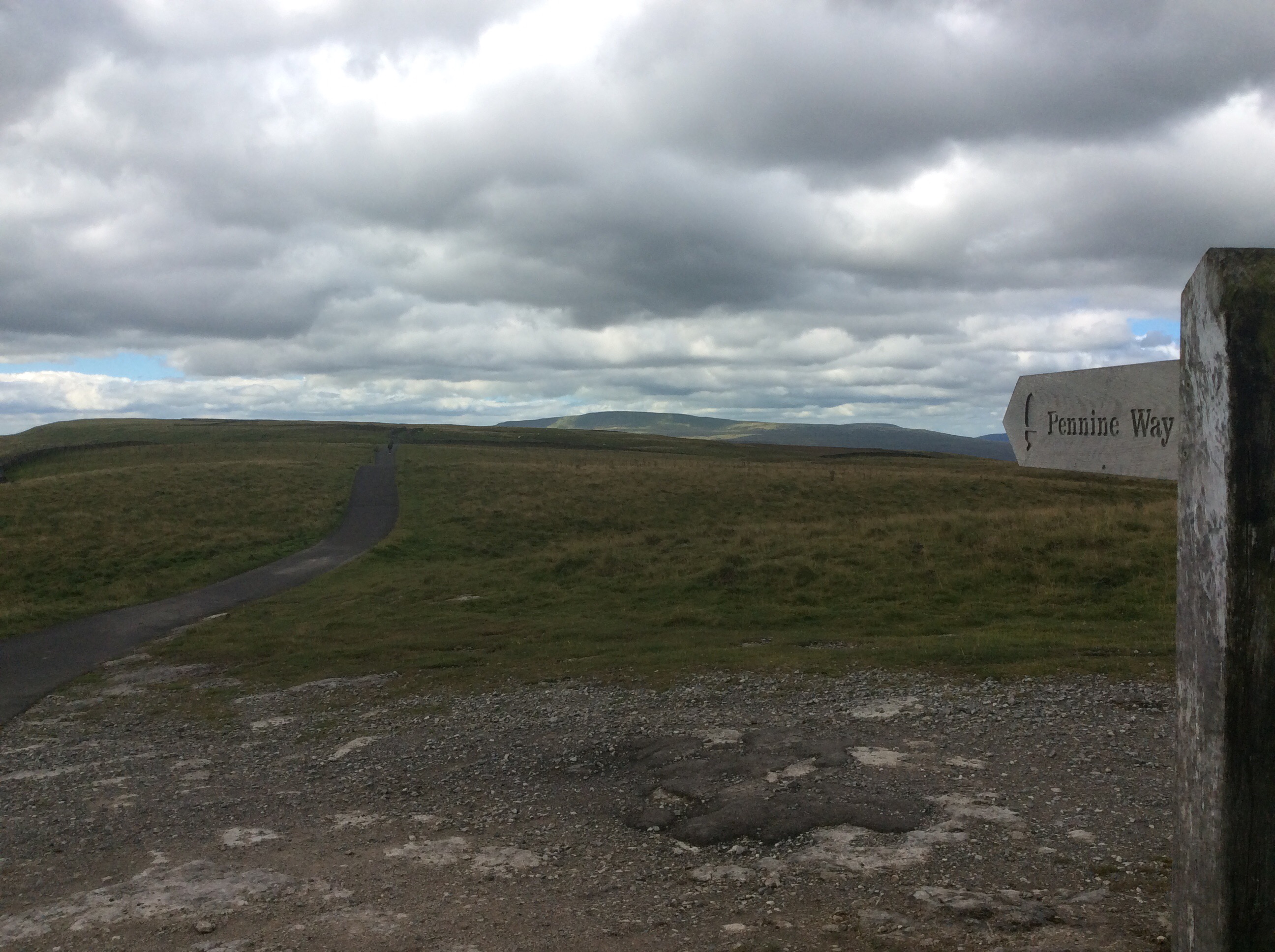
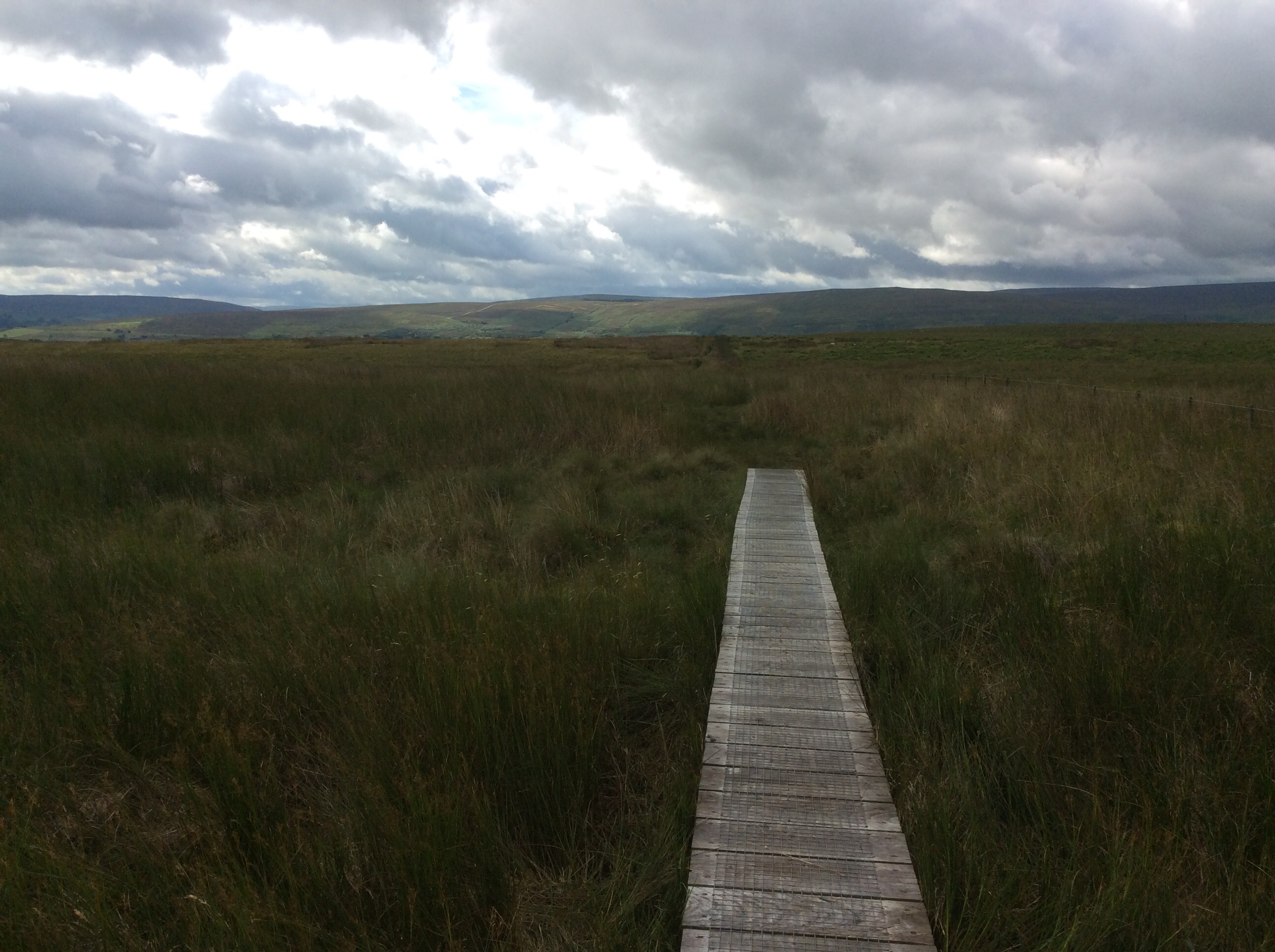
I was heading towards another watershed on this journey. Up to the highest point of the day and the Pennine Way turned westwards and was paved, which was most unusual. In the photograph below, any rain falling to the right of the path would run down to the River Ure and make its way eastwards to the Ouse and eventual exit into the North Sea. Any rain falling to the left of the path trickles down to join the River Ribble and exits westwards into the Irish Sea and onwards to the Atlantic Ocean.
I might put a bottle in the river with a message and my mate Will Lovell in the USA might find it, unless that stupid idiot Kim I Feel ill nukes America first. Likely to, the way that stupid idiot Donald Trump is tub thumping. They ought to have a love child. Can you imagine the haircut?
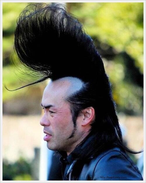
On and over the hill down into Ribblesdale the views were beautiful. Ingleborough.
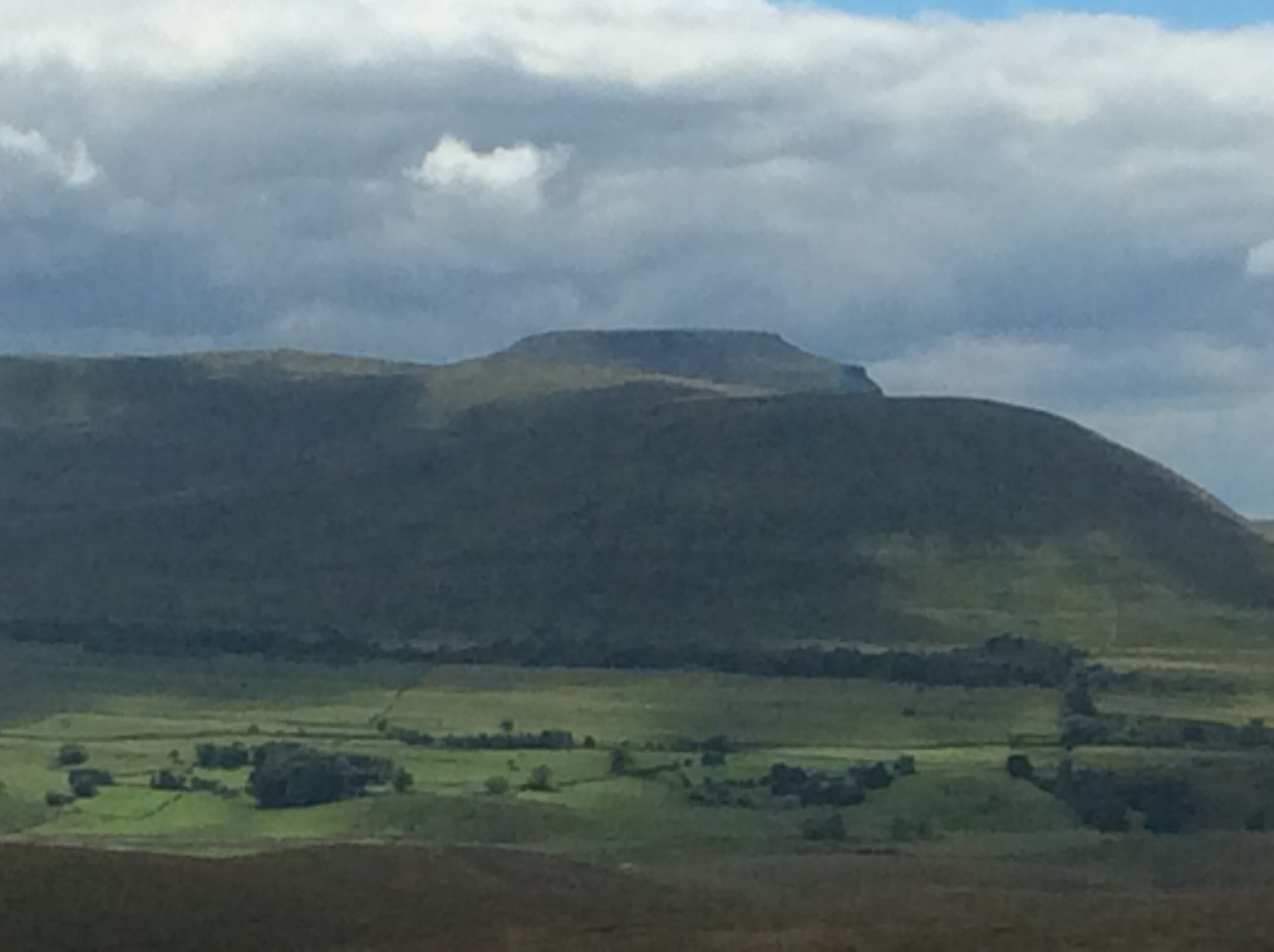
The Ribblehead viaduct.
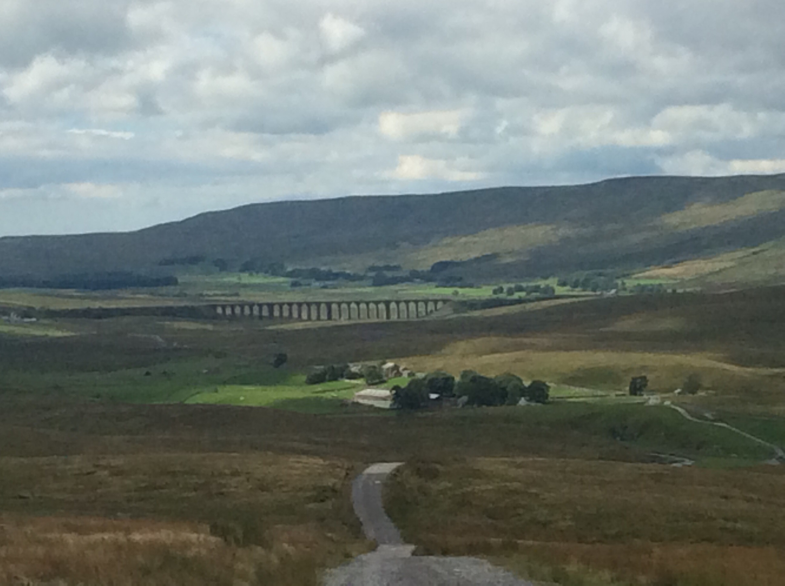
Pen y Ghent.
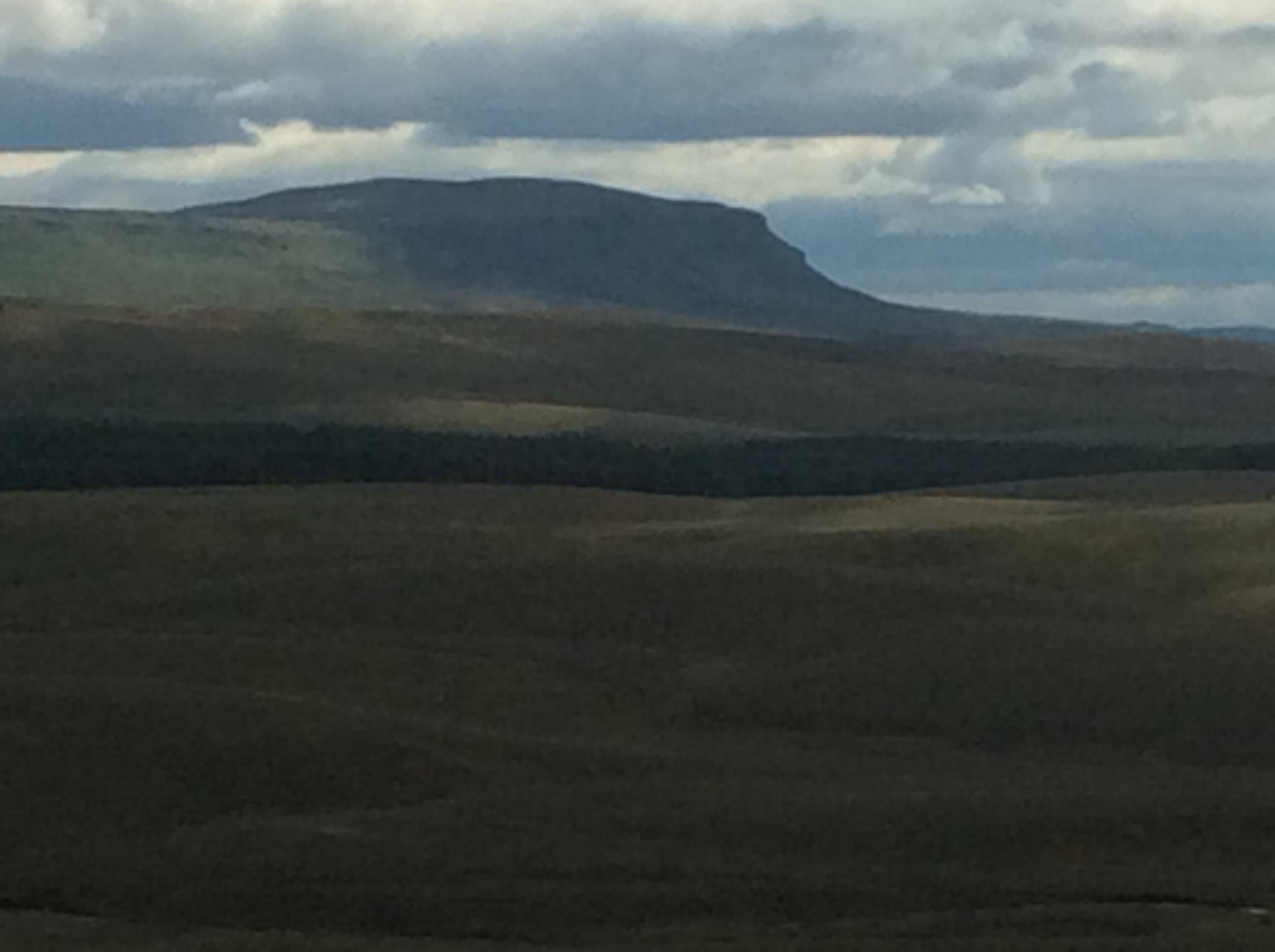
From South Yorkshire we don’t generally believe in the existence of a God who created everything and needs to be worshipped. However, if there is such a chap, or chapess so as not to be sexist (because the creator of the universe would take a keen interest in political correctness), he would have created Yorkshire for his own country.
It was another slog, but this time in decent weather, and it was a pleasure. I had a reyt smile on my fizzog. And where there’s a will there’s a way.
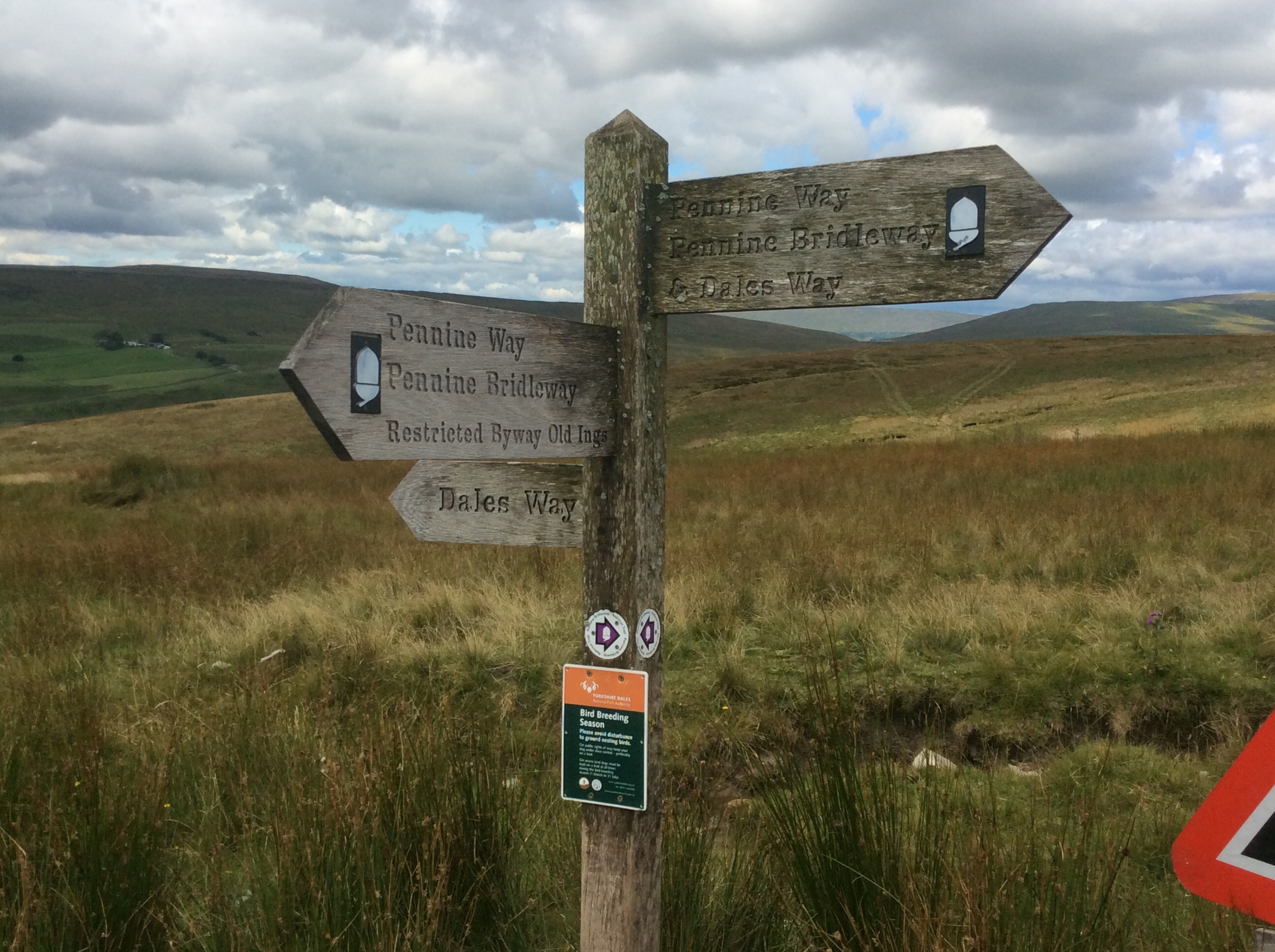
Having dropped down off the tops the walk was fairly domestic to Horton. Up and down small hills and a few bridges and pot holes.
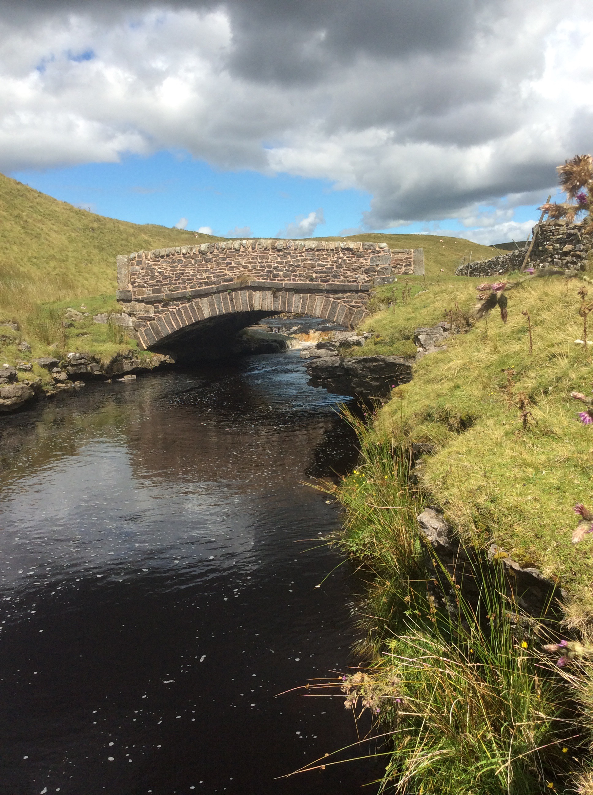
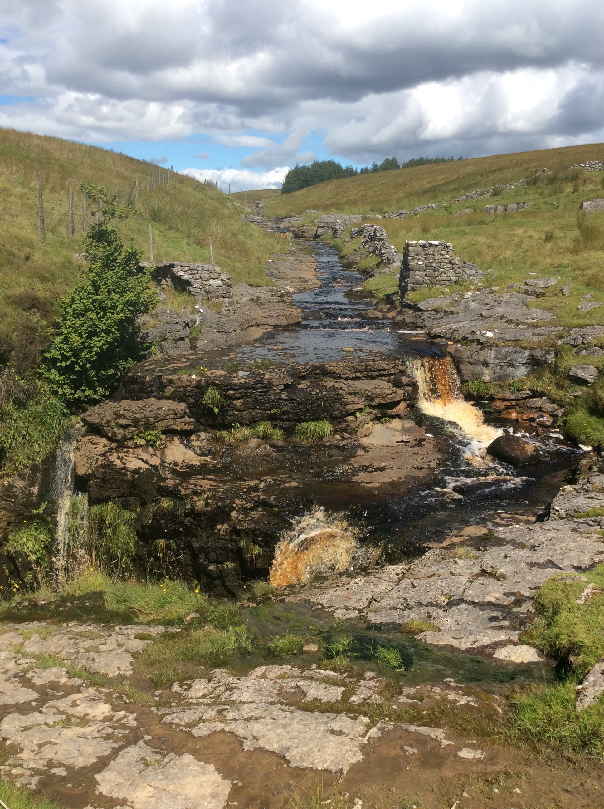
Lovely country.
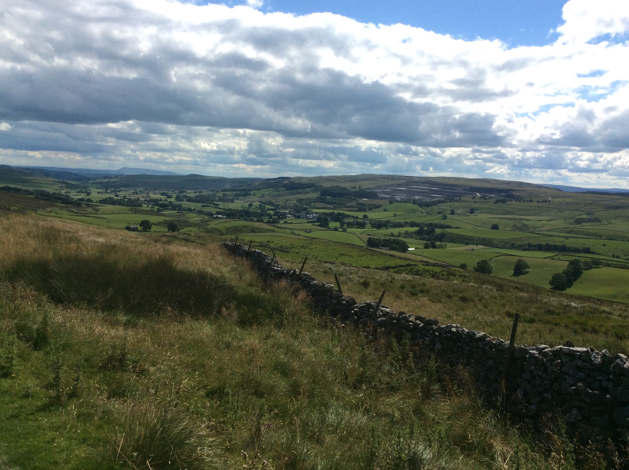
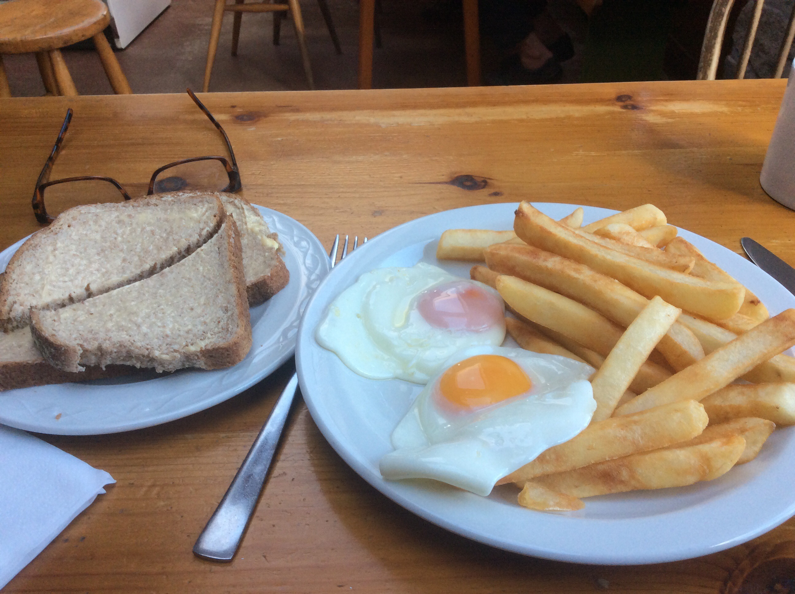
Horton was familiar, I bought a sandwich for breakfast tomorrow and a cup of tea and egg and chips for today. Fantastic.
I pitched my tent in the village campsite, where squaddies in training and touring couples were in equal portion. Five quid. And I spoke to the old lad collecting the cash and he gave me a pint bottle of the local pale ale. God’s country.
Night night.
Only one ‘F’ in Fletcher – my old Muker (to Hawes)
The morning was cool at Usha Gap Campsite and we’d both had a night’s sleep broken by the cold temperature. The midges were out again and we packed the tents away as fast as we could. We both got bit bad. We’d bought sandwiches, the previous afternoon, for breakfast and tinned fish for lunch.
It was nearly 10 miles to Hawes from the site and the first half mile, to Thwaite, was easy road walking. A quaint bridge and Blacksmith’s cottage welcomed us there.
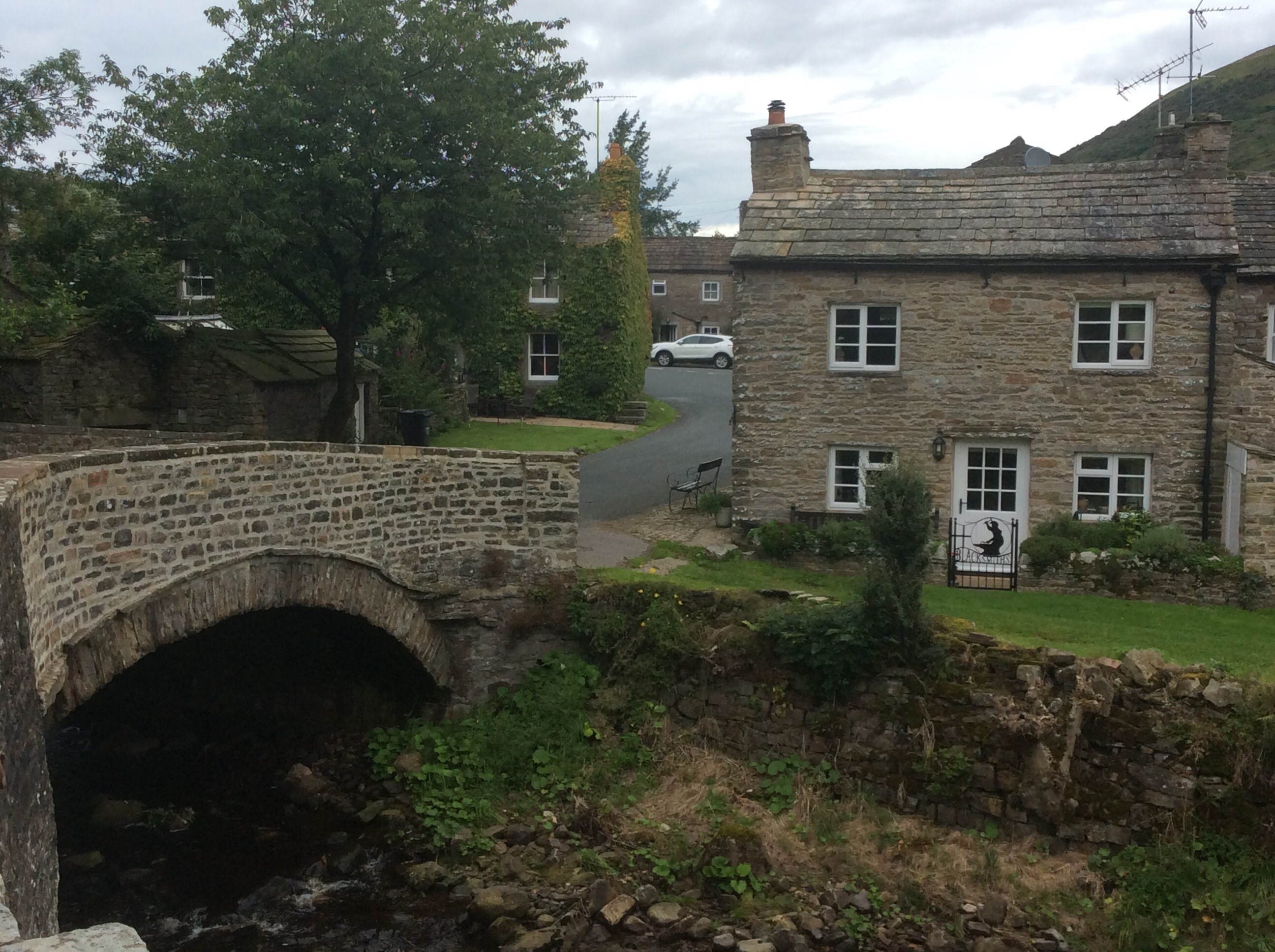
It was an 8.30am start so we were ahead of the game. However the road rose before us and we started to lag behind it. But looking back was Swaledale, cradled between hills.
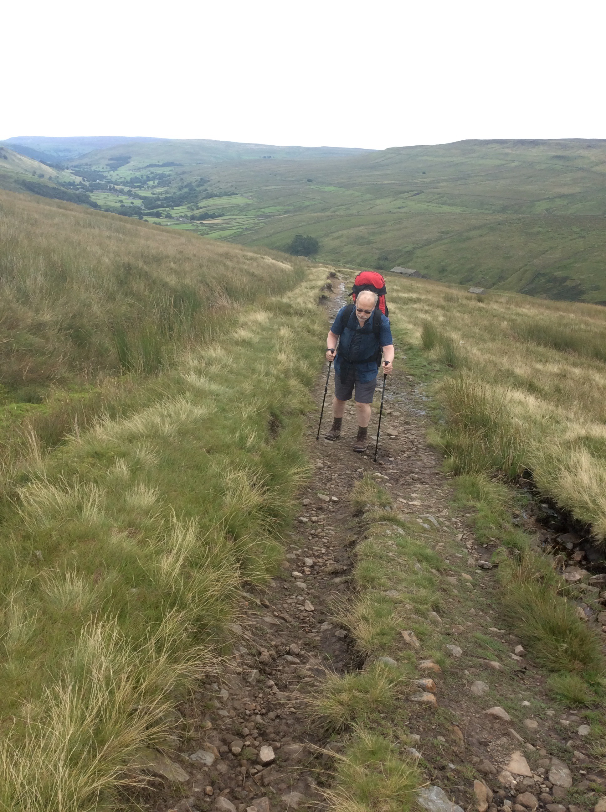
The wind was a harsh northeasterly and cold as a cabbage. I didn’t know cabbage was cold. No it isn’t but ice wouldn’t be alliteration you cretinous creature.
We were aiming for the top of Great Shunner Fell as first base but it kept drifting further and further away in the cabbage-like wind.
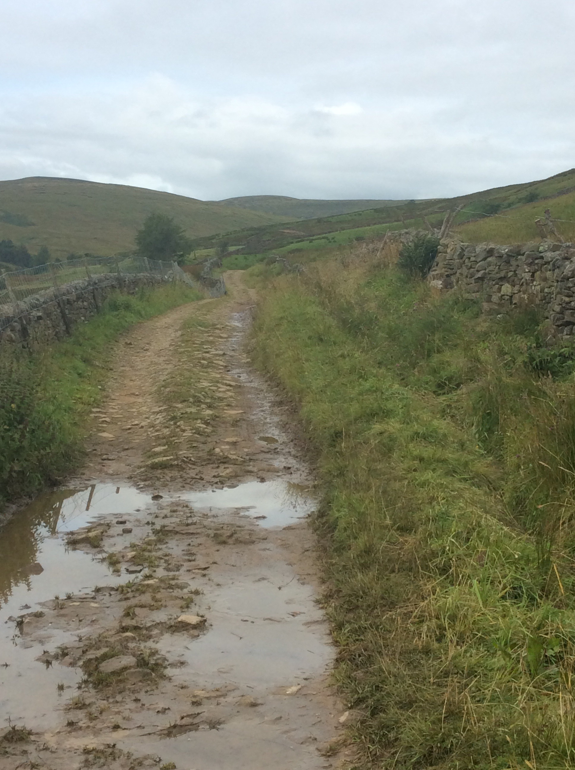
Dear old Chip was struggling under the weight of his rucksack and I took what I could but his shoulders were very painful. For a brief period I carried both of them but he’s so stubborn he wouldn’t let me do it for more than a hundred yards. Good job because it was knackering!
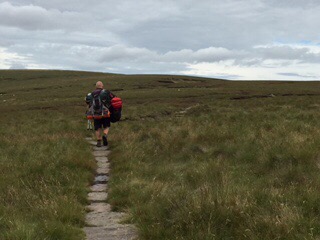
At long last we got to the top, and the wind was cruel and it started to rain. A 360 degree view from the third highest peak in Yorkshire and we were too cold and our fingers too numb to take photos. In August.
We managed to strip down a bit more of Chip’s load and transfer it to my rucksack and get our wet weather gear on for the walk down to Hardraw and on to Hawes. On automatic zombie pilot we made it to Hardraw, eight miles after setting out eight hours before. The Green Dragon Inn beckoned with an open fire and we slowly re-humanised. Fair play to Fletch he kept going, slow as an action replay but determined as a British bulldog.
After an hour we finished the last mile to Hawes. The weather was such that camping would be a mess for Chip’s last night before going back home. A full day journey with wet tent and wet clothes would be a bummer. So we got a B&B twin room for thirty quid each, ate well and got an early night. I beat him at pool as well. Always pick on the weak.
Night night.
No Effin Tan Hill Inn (to Muker)
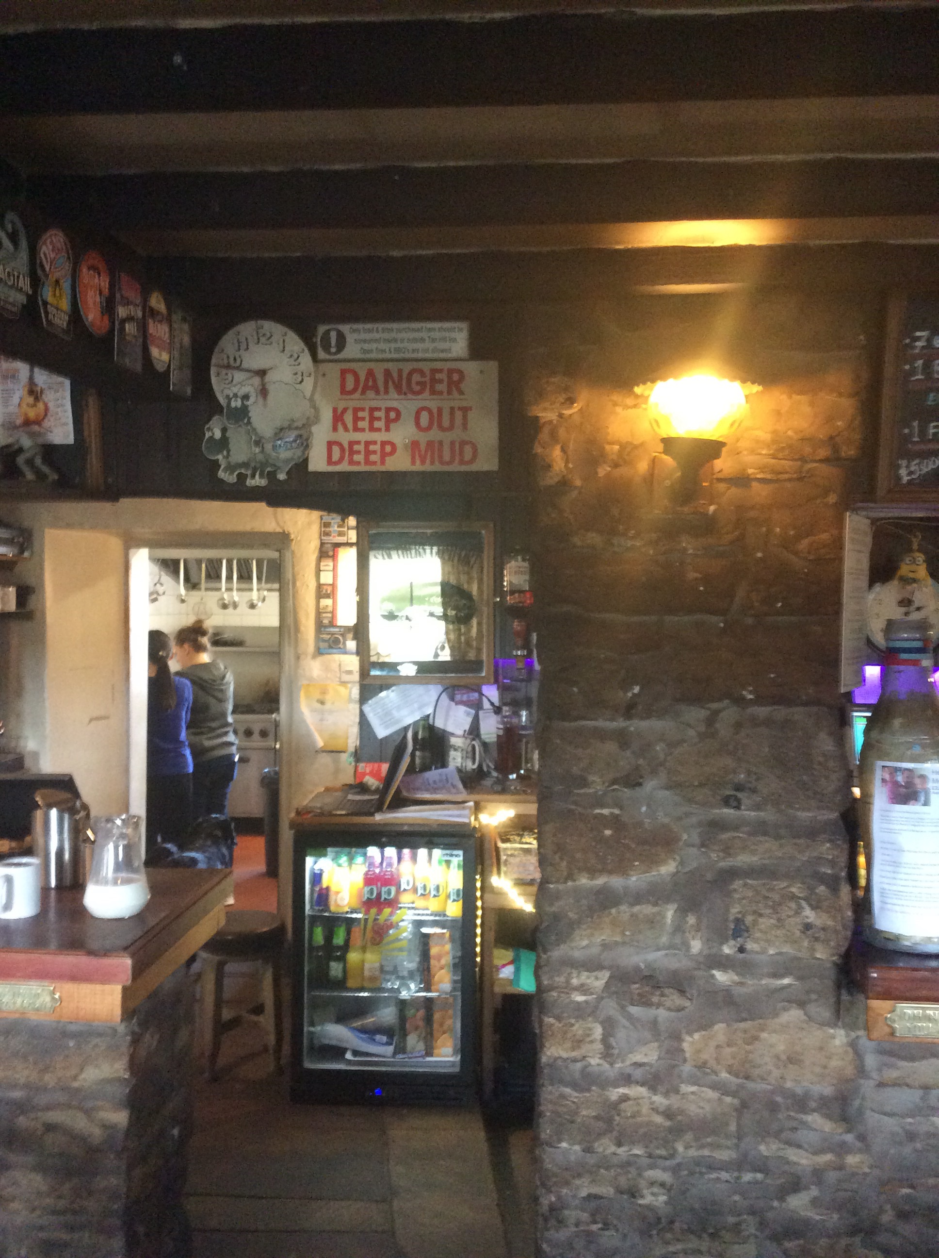
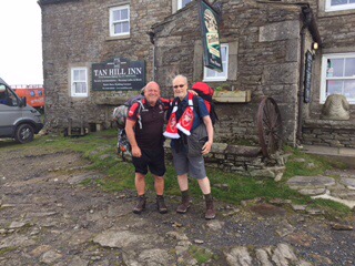
When we turned up waterlogged and muddied at the Inn last night and asked if they had a room, it was over an hour before the woman locked behind the computer could confirm it. The queue was deep at the bar and only one woman was serving. Five others were hovering behind the bar doing nothing, and unsure if that was right. It was the most disorganised outfit ever. The highest pub in the U.K. and the lowest level of customer service. Chip went to pay with his card and the woman said she hoped there wasn’t an ‘f’ in his name or post code as the ‘f’ key didn’t work. She seemed terrified of Fletcher and reduced him to Letcher. Dirty old get. Anyway a good night sleep was had by all.
The sign above the bar summed up the previous day.
The weather was looking iffy in the morning and after being ignored for half an hour we got a decent breakfast. Then we were off.
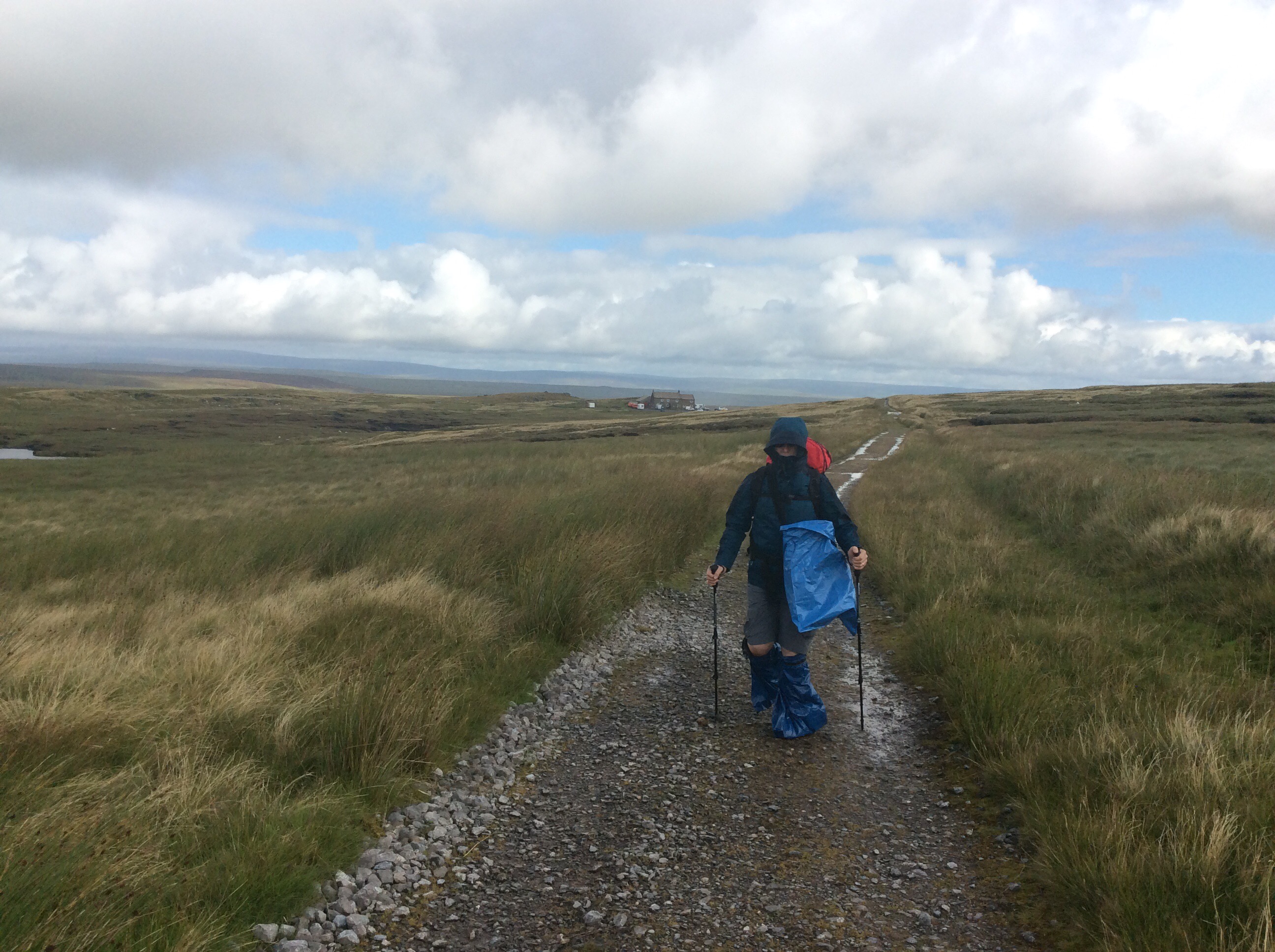
Quickly Chip slipped into his new waterproof outfit as we hit mud again. He says he’s going to patent the footwear!
And I developed a bad Richard the third impersonation.
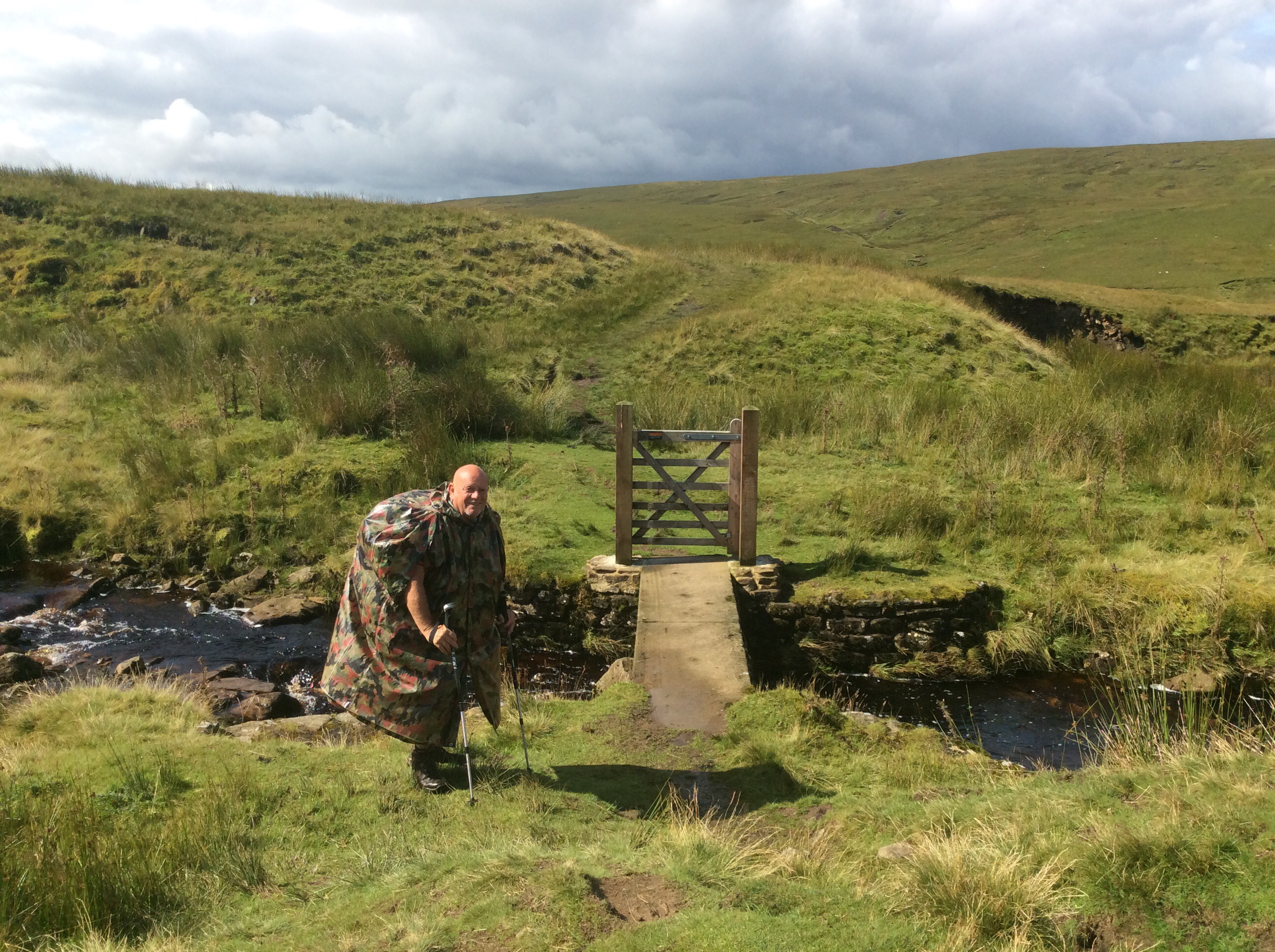
Today’s journey was to be a modest, but ultimately testing, 8 miles to Usha Gap Campsite near Muker. We were initially aiming for Hawes, which was a 16 mile hike, but that’s too much for Chip and I don’t want to do it. We’re carrying a lot of stuff and there’s no need to push ourselves to the limit. However the weather improved and the rain stopped. The first leg was 4 miles to Keld, down the side of the valley from Tan Hill.

Just before Keld is a delightful cascade, which is a pleasant interlude after featureless moorland.
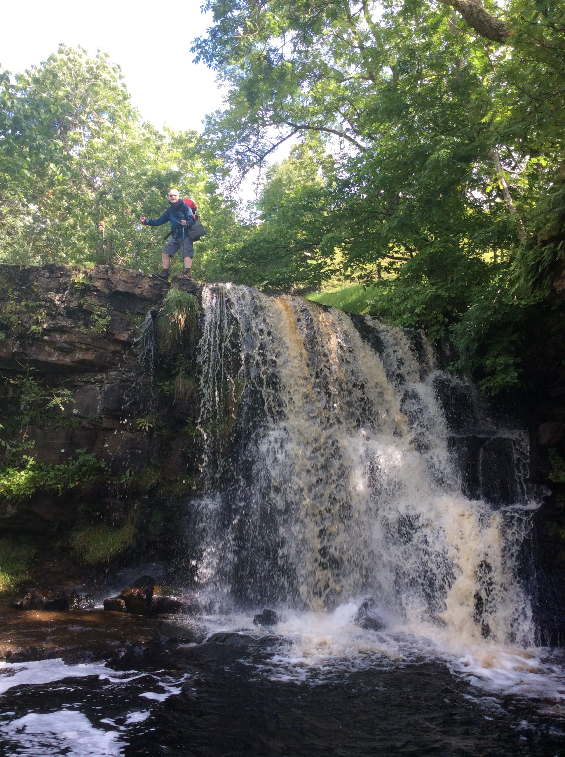
We had coffee and snacks in Keld and set off refreshed on the route to Muker, the River Swale snaking in the valley below. With streams running down from the tops and cutting deep valleys on the far side.
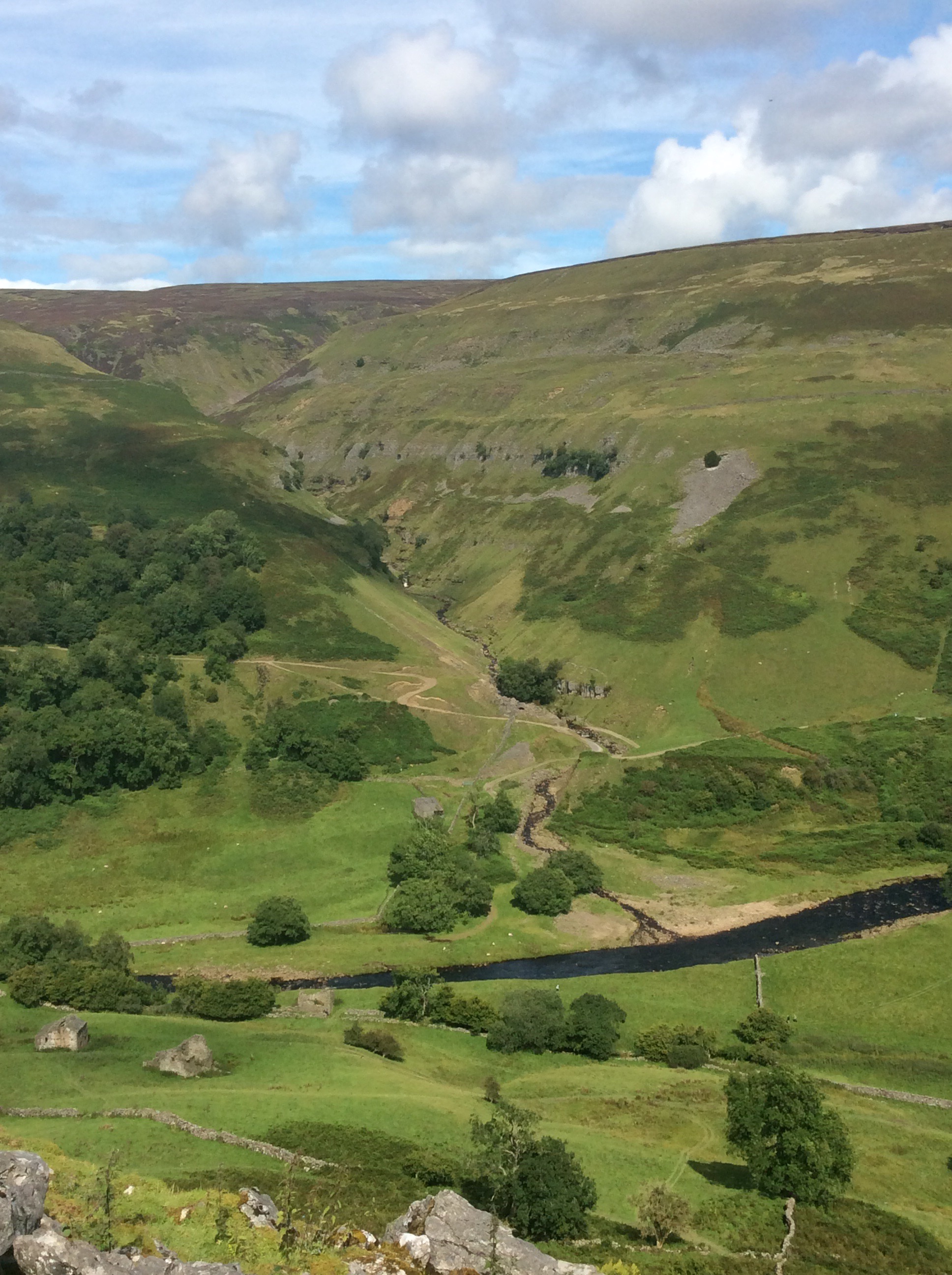
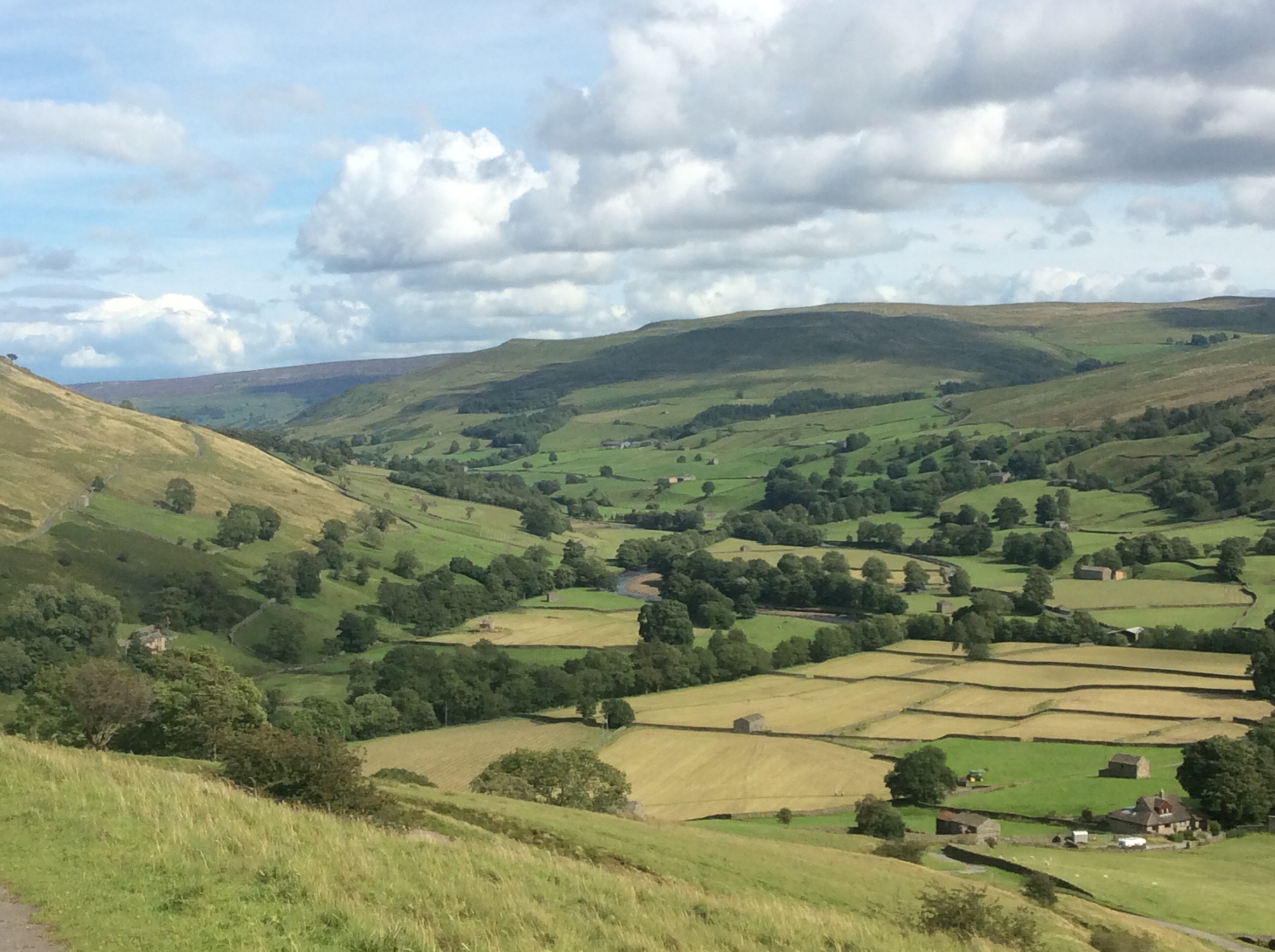
Eventually the river turned left into Swaledale proper and the views were great.
Chip was feeling the strain. An old, knackered wasterd. Not a pretty sight. But he kept going like a Trojan.

We dropped down the hillside to Muker, a mile off the Way, nestling in the valley.
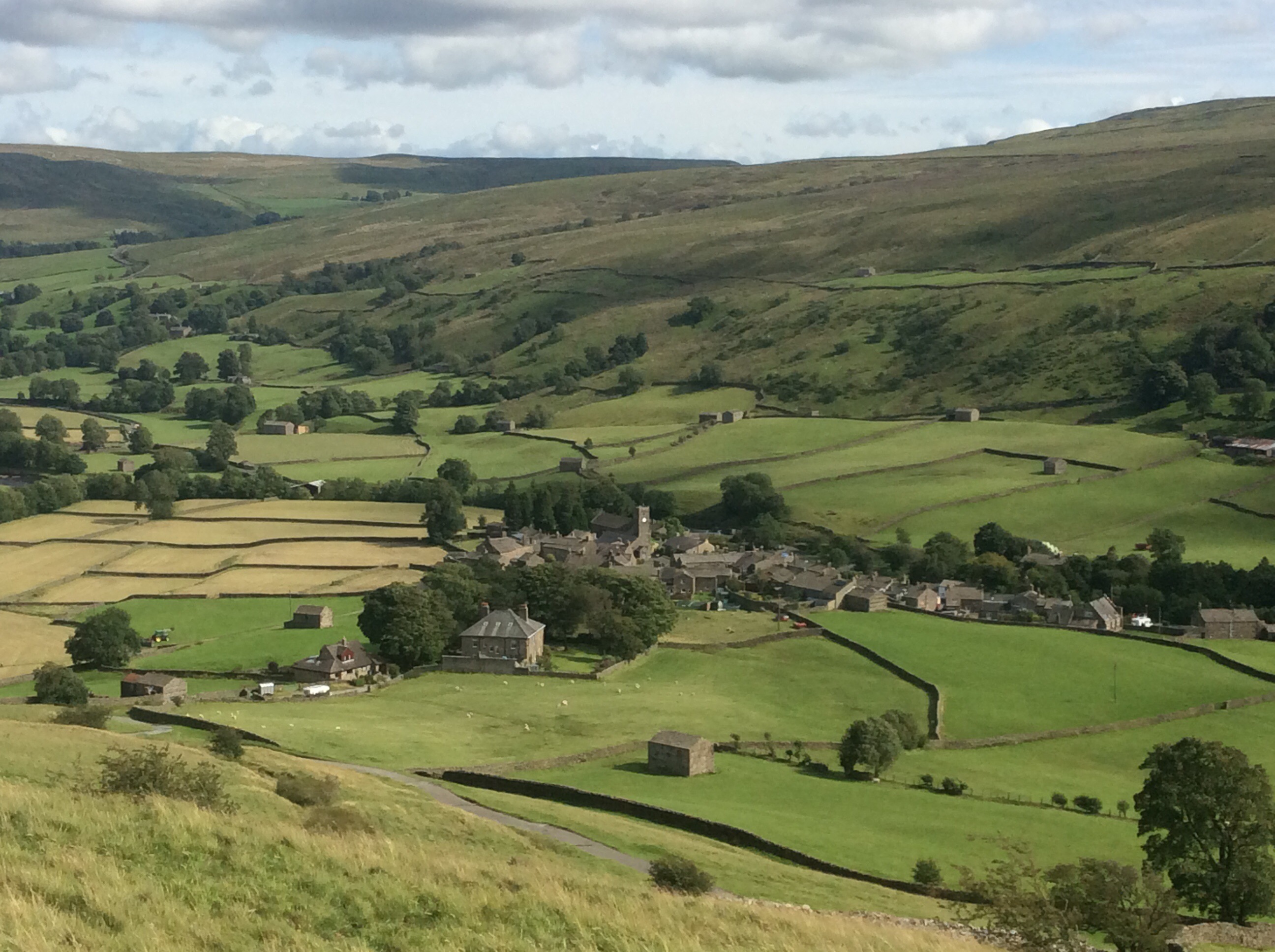
And we refreshed ourselves at the Farmers’ Arms, appropriately selling an Old Peculier. Won’t get much for him!
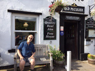
Up to the campsite, pitched the tents, back to the Farmers for dinner. Great food.
Then an early retreat to our tents and a bonfire outside, invaded by armies of midges. A little corner of Scotland in north England, land of the swarming midge, and Chip’s legs look like he’s got chicken pox. Poxy old get.
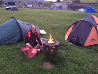
Sleep time. A long day. But a great one.
Night night.
Back to Bowes and Ribbons of Rain – third blog today
Blades won, nice early weekend with my old lass, great meal of slow oven stewed Ox cheek. Then I set off from Leeds at 9.40am to Darlington again. My old mate Chip was joining me for three days walking and camping. I met him there and we had a breakfast at Weatherspoons before getting the bus to Barnard Castle and a taxi the four miles to Bowes, where I left off on Thursday. Our spirits were high and despite the wind the weather was dry.
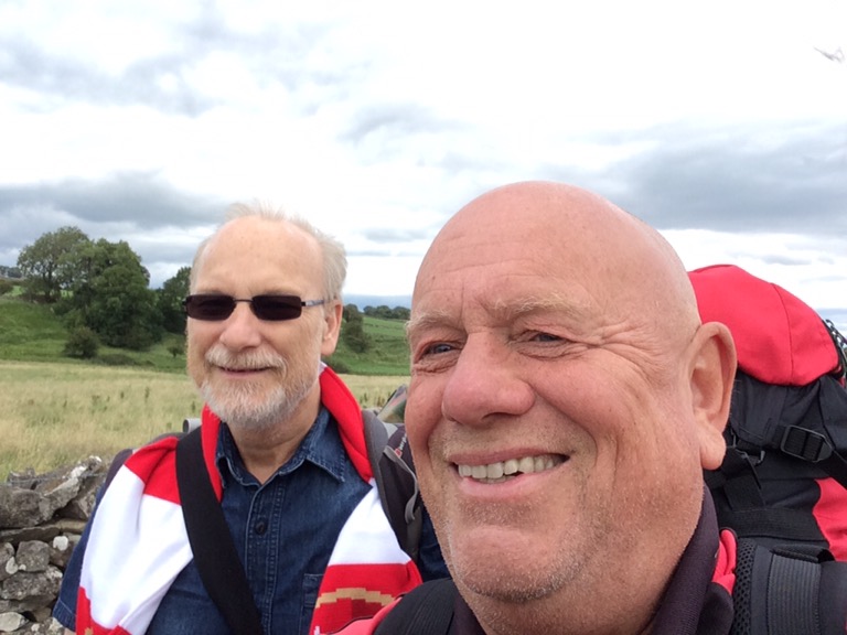
The Pennine Way splits, with one leg taking in Bowes before rejoining the main path. The Bowes Loop rises uphill southward to link in with the main path en route to Tan Hill. Our afternoon stretch would take us 11 miles to the Tan Hill Inn, where we would pitch our tents this evening. It’s a pleasant walk and we linked up in good time with the main path.
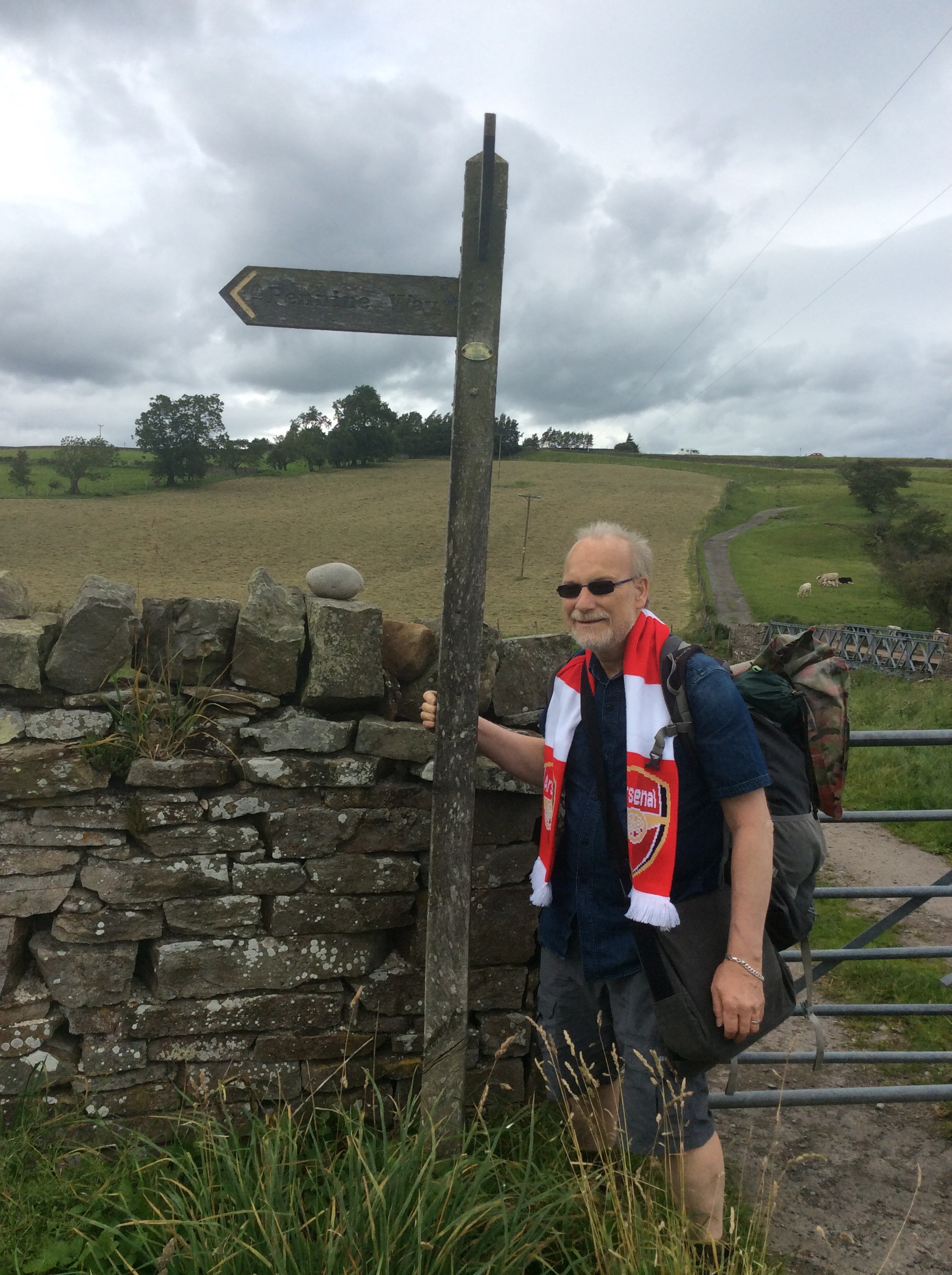
As we climbed higher the wind picked up. The Tan Hill Inn is the highest pub in the British Isles, at over 1700 feet, so weather is an issue there. But the views are good going up.
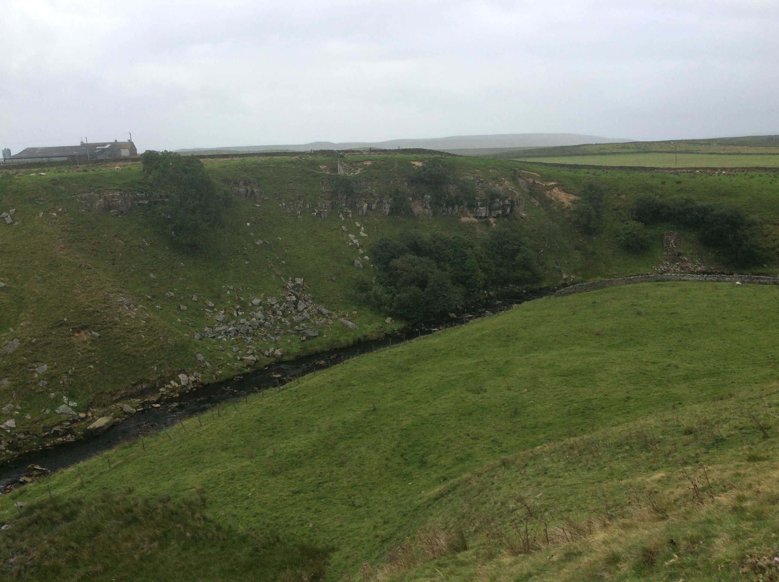
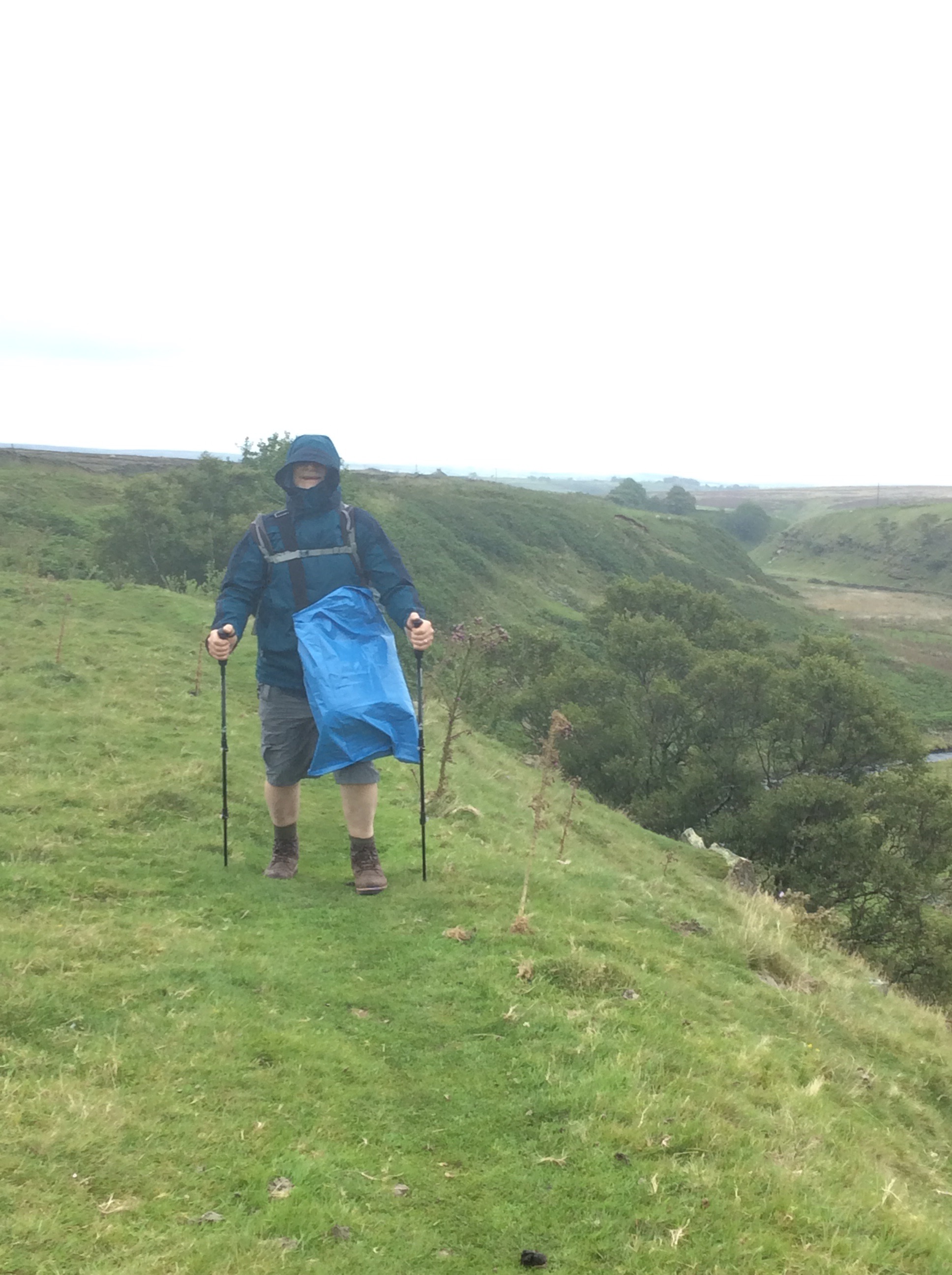
Chip was doing well, despite his long period of sickness, although he is a determined old get anyway. And then the wind picked up, and it turned cold, and the rain started slowly at first and ended in a downpour. The path began to get boggy, and then became very boggy, and finally became almost impassable. Chip kept going. Not reyt fast but still going.
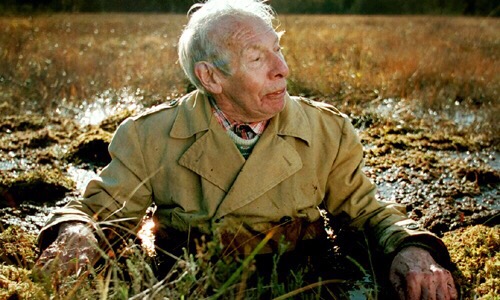
We decided to cut across for the last few hundred yards from a massive liquid bog area to a road that had appeared to our left. Getting there Chip slipped into a boggy ditch and pitched backwards with the rucksack on his back. He was stuck and I didn’t get a picture. Bugger! But if I had done it would be like this.
I helped him up. After nearly six hours walking we made it to the Inn. The weather conditions were such that we couldn’t pitch a tent. No way at all. So we got a room and had a few beers and a meal and dried our soaking boots and gear on a radiator.
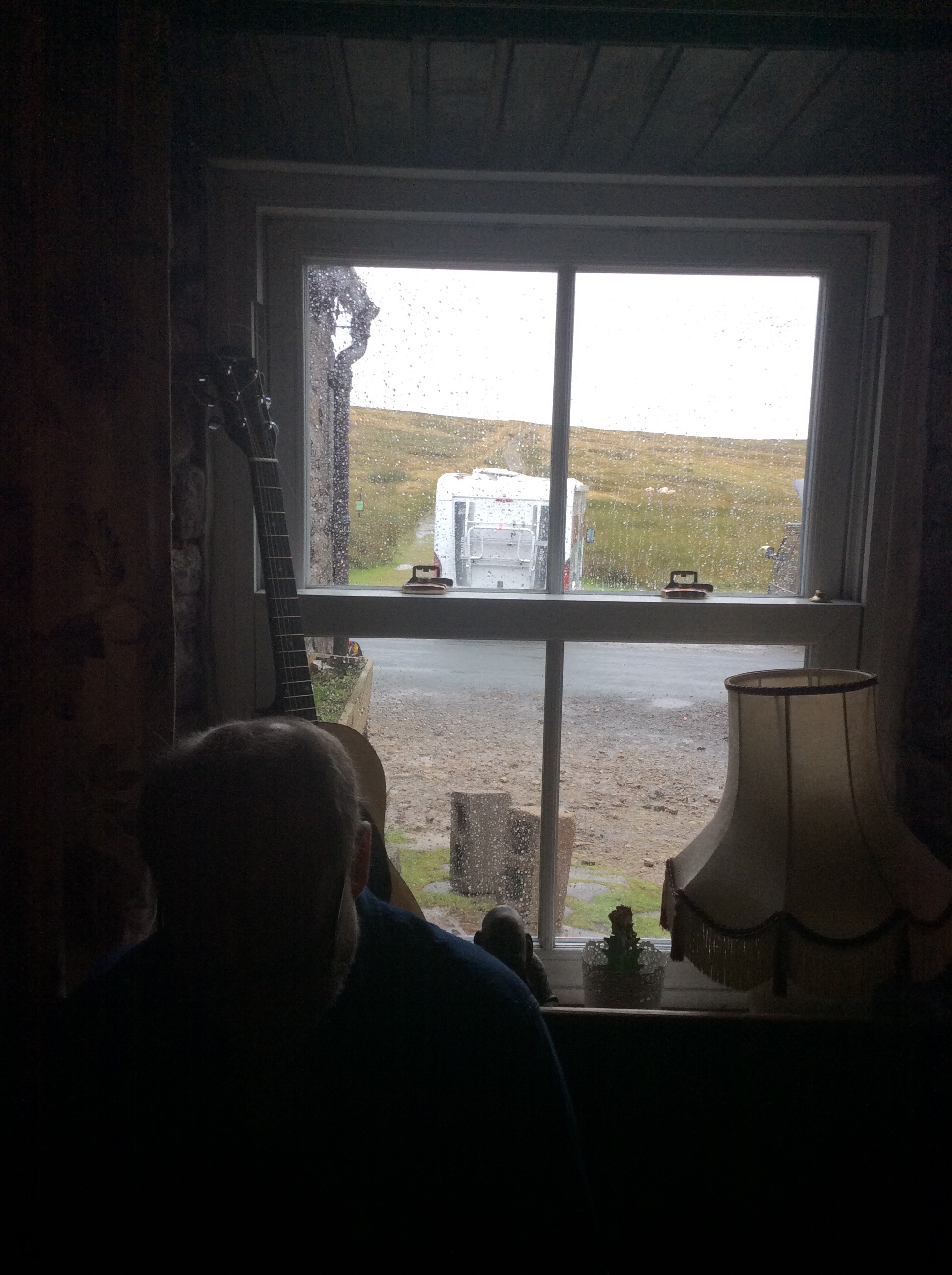
Tired out, early night, sleep tight.
Night night.
Onwards to Bowes and Home (second blog today)
Sorry kids, all story no photos. I got up early, packed the tent in the rain and set off at 6.15am to walk the 11 miles to Bowes to get a bus to get a bus to get a train to get a lift with our old lass to get home. It rained heavily and continuously so I got my head in my hood and marched like a squaddy. If I could have been bothered to get the iPad out and photo Bowes it would have looked like this.
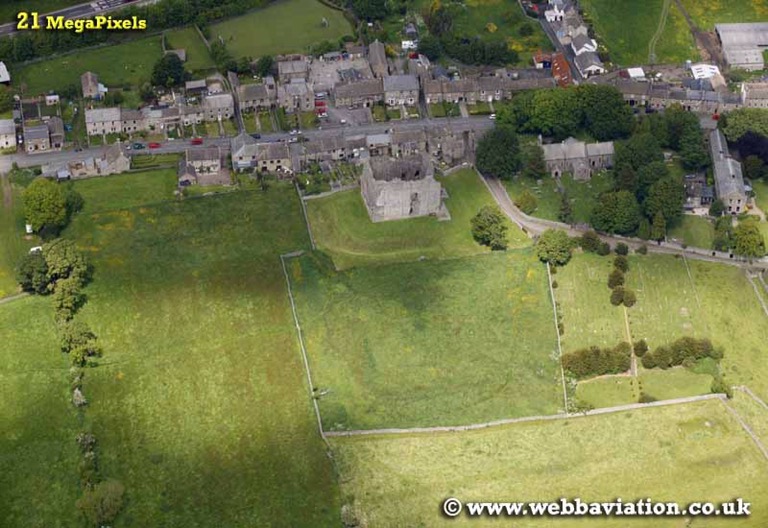
And Barnard Castle would have looked like this.

And Darlington would have looked like this.
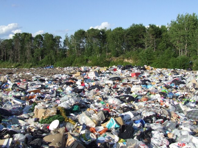
I’m back home to watch the Blades, see my old lass and dry out, but not necessarily in that order. Back on Sunday to the Pennine Way, Bowes loop with my old mate Chippypoos. Well, Chip anyway. Blog you then. Bye babes!
Langdon Beck to Middleton on Tees – Shorter and Sweet
A good night’s sleep int hotel and I found a hairdryer to mostly dry my boots. My clothes were wet beyond redemption in a compressor bag. Today’s was a more leisurely walk down the valley 9 miles to Middleton on Tees. I filled up my stomach, and the various canals that surround it, at breakfast, with double black pudding. Gordon Bennett I was full. The first stage was a mile down the road then across a farm to the Way. It was dryish but the clouds were looking threatening.
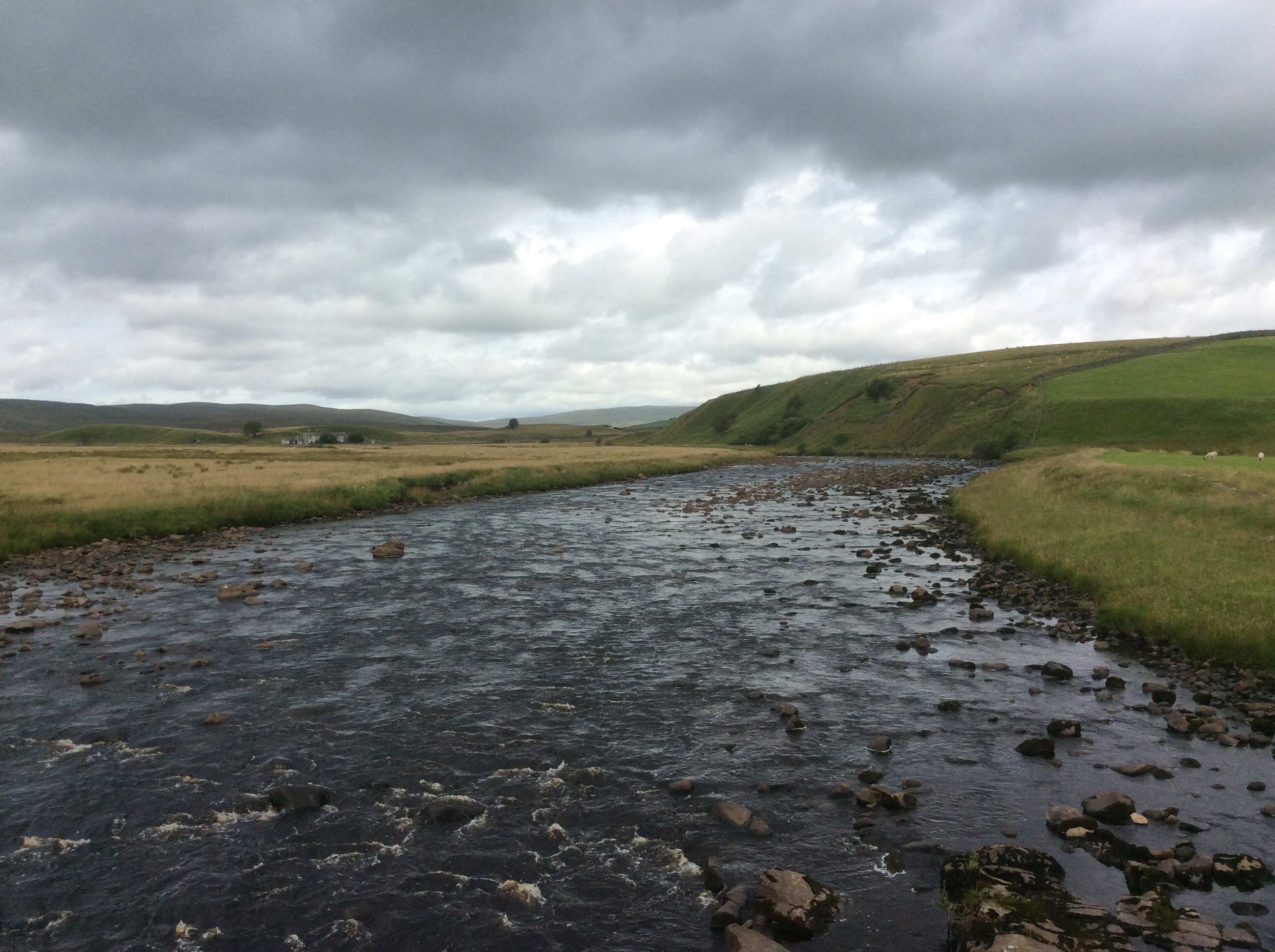
The path rose up the West Bank but no Palestinians in sight. Netanyahu must have had them all shot. The river disappeared a while and then the path dropped down again.
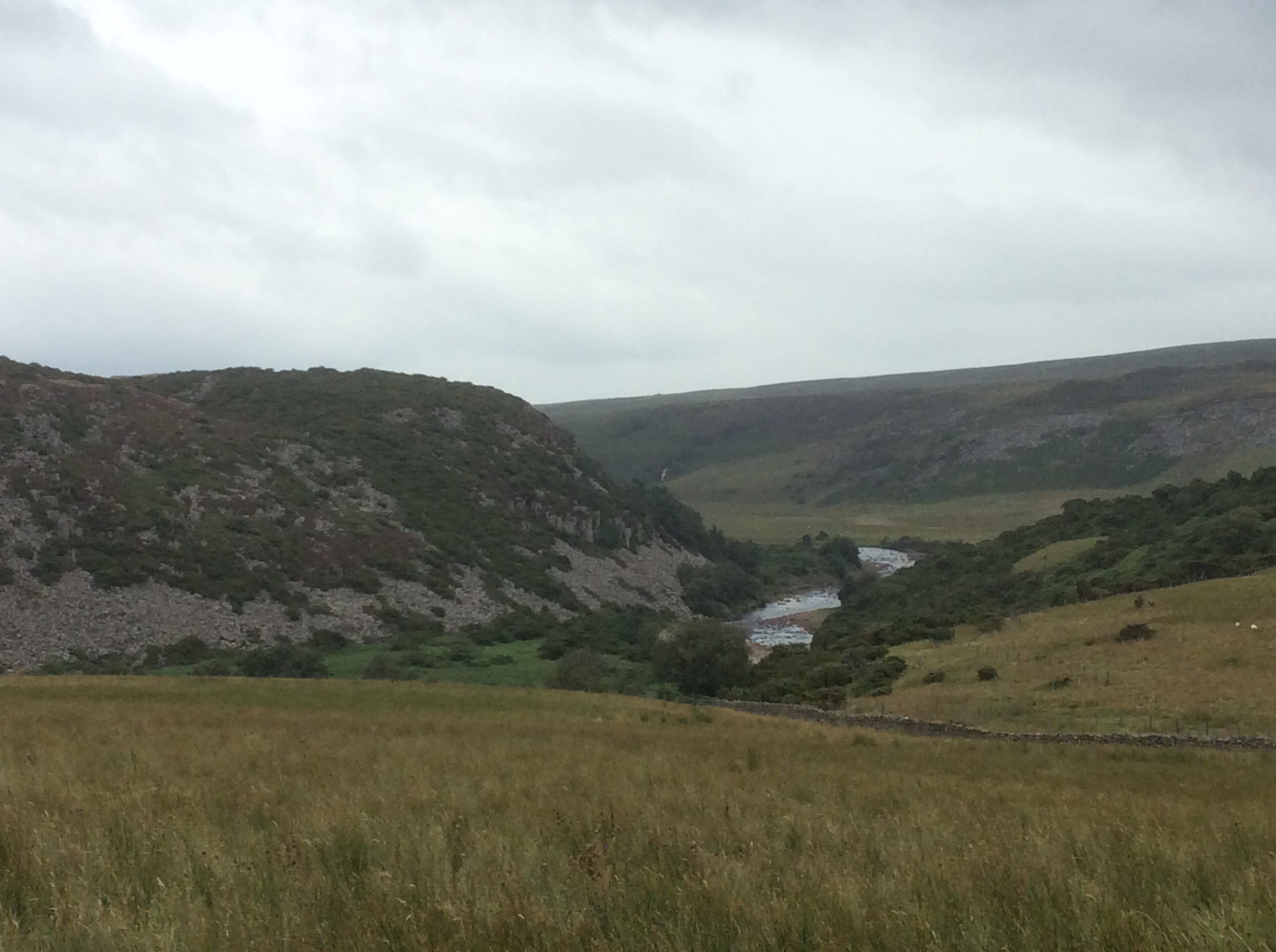
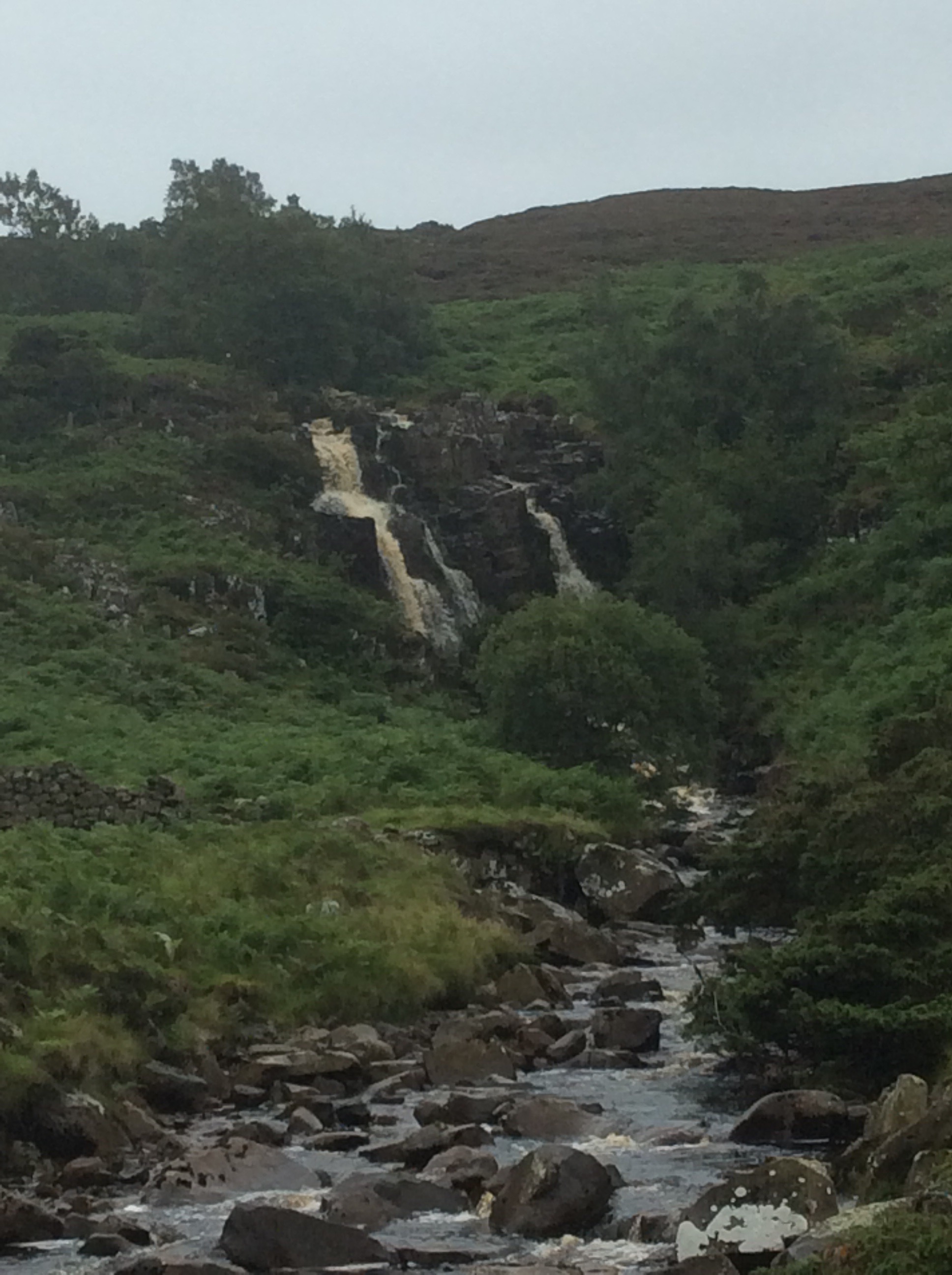
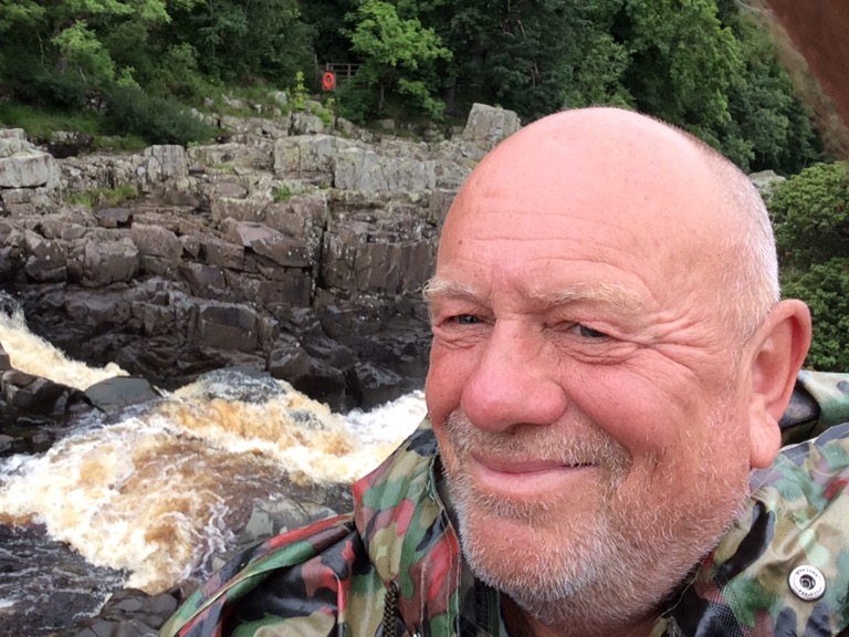
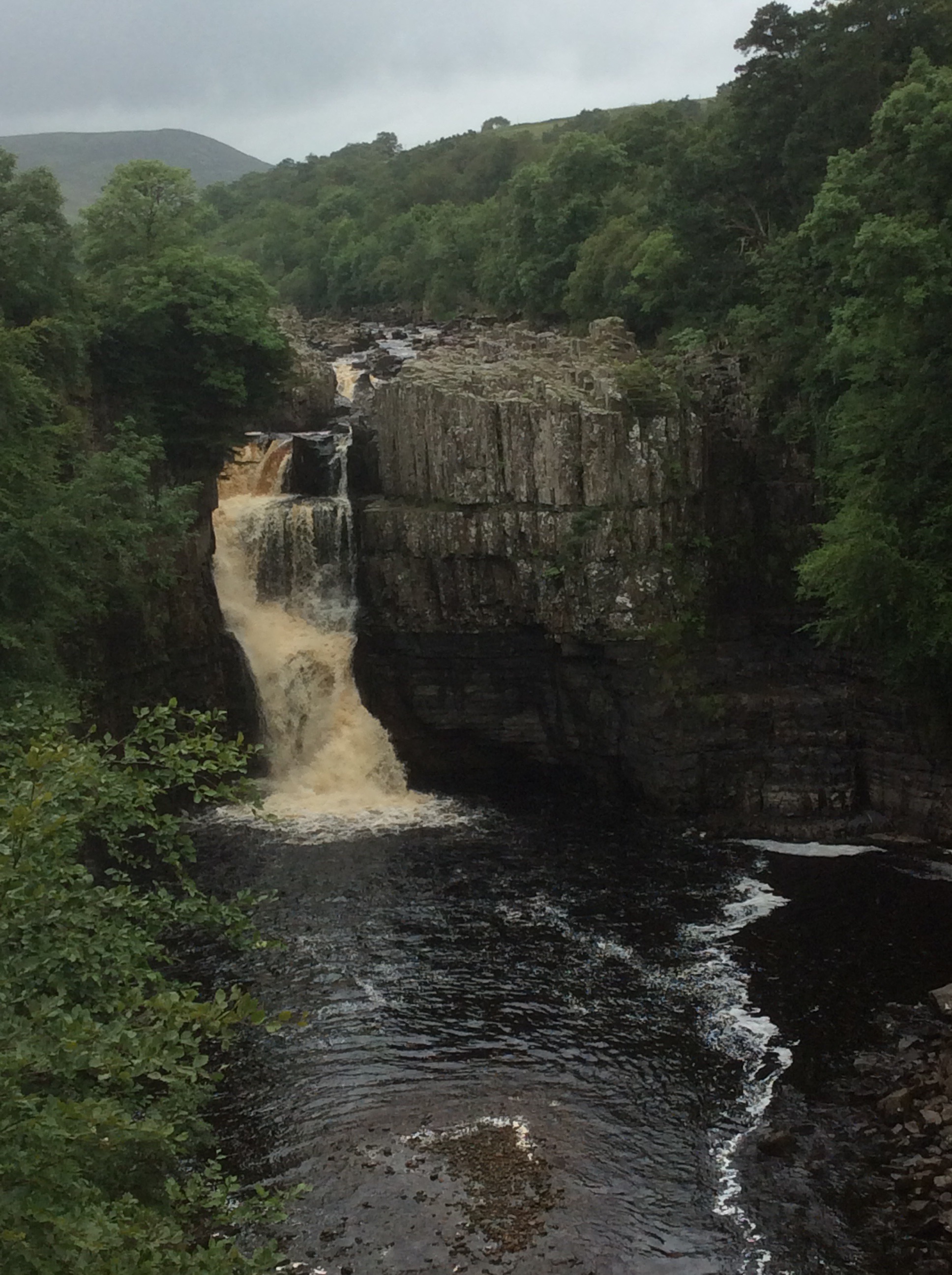
A few miles later and I was stood at the top of the High Force waterfall which roared in my ears.
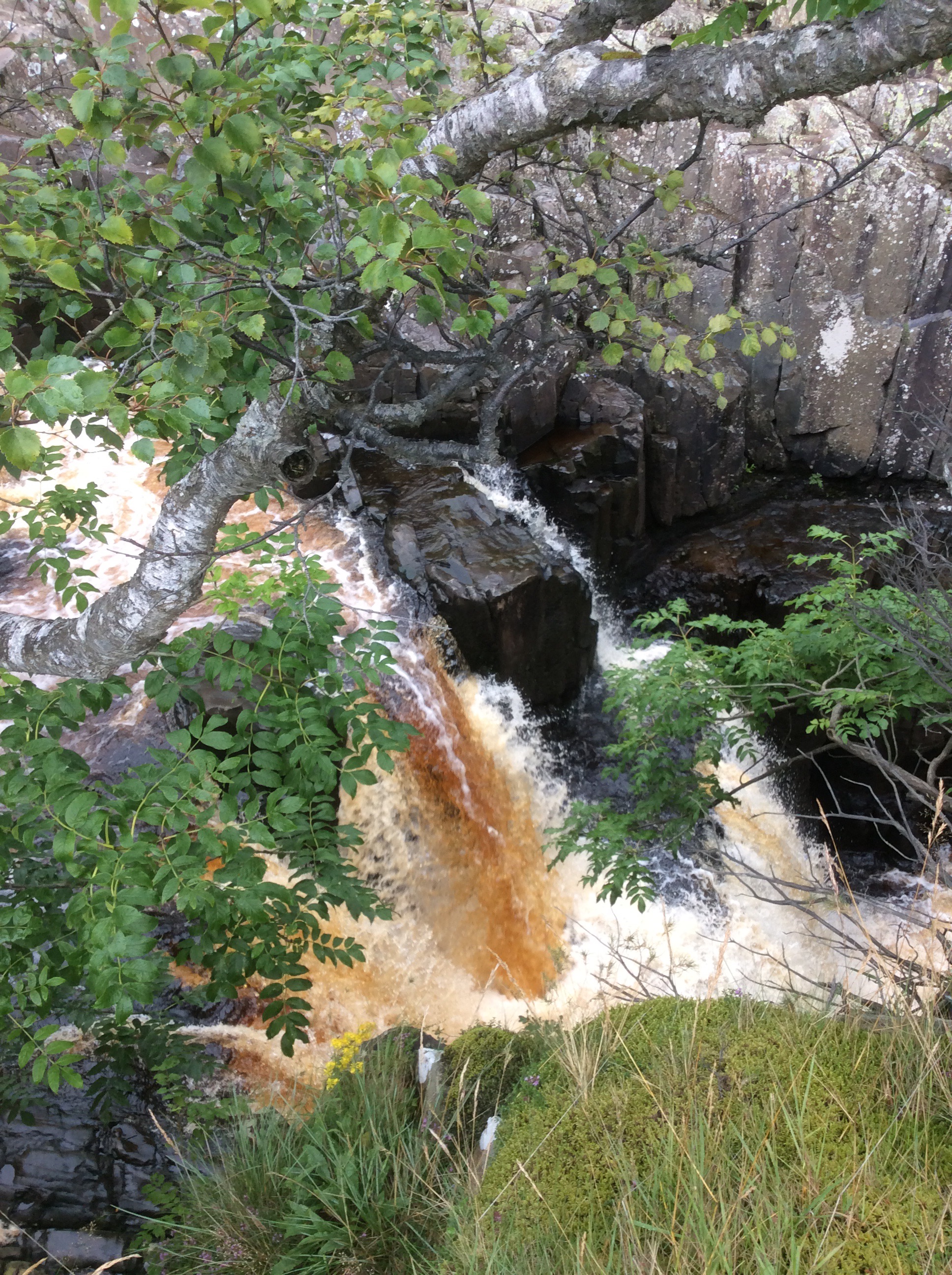
The water was still brown and mucky, from the heavy rain on the peat bogs, as it fell over the cascade.
And from further down the valley the view back was awesome, well maybe not compared to the Niagara or Victoria Falls but for this green, pleasant and sceptred isle it was awesome. The biggest single drop in the U.K.
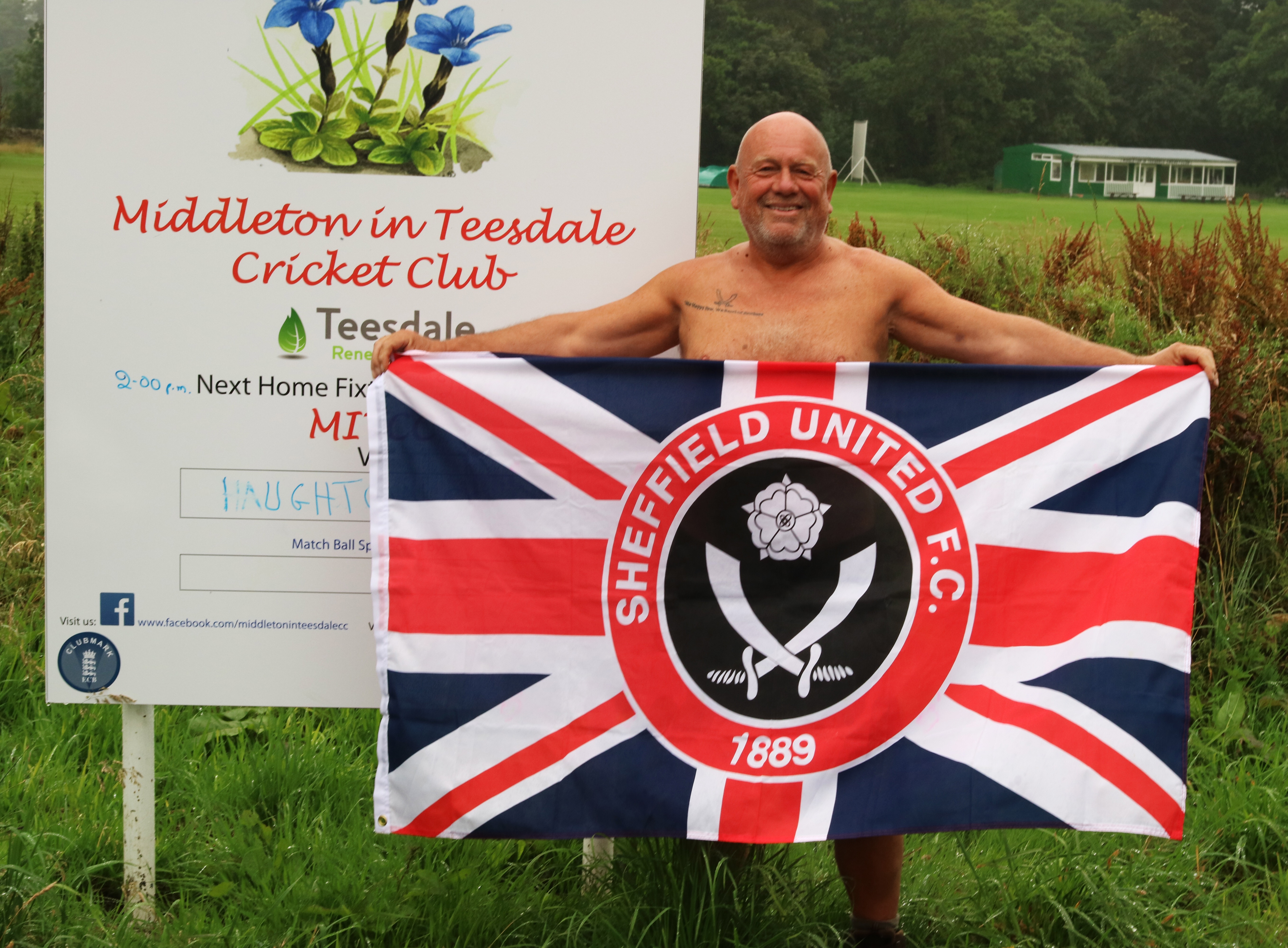
There were a few dozen tourists walking up and down the path, but again not many PW kiddies. I sped along and when the heavy rain started I was close to Middleton and pulled into a pub. The conversation at the bar for some reason turned to Sheffield United so I got my flag out. The locals said I must go next door and show it to the biggest Blades fan in the world. I packed up, went round and knocked on his door. When he came down the hall I got the flag out and sang the greasy chip butty song. He was quite surprised! He was trying to get tickets for him and his grandson for the Blades at Middlesbrough but didn’t have enough loyalty points. I gave him my SUFC log in and he used mine and Jet’s points to get the tickets. He was really pleased and insisted on taking a photo and sending it to me. I was naked.
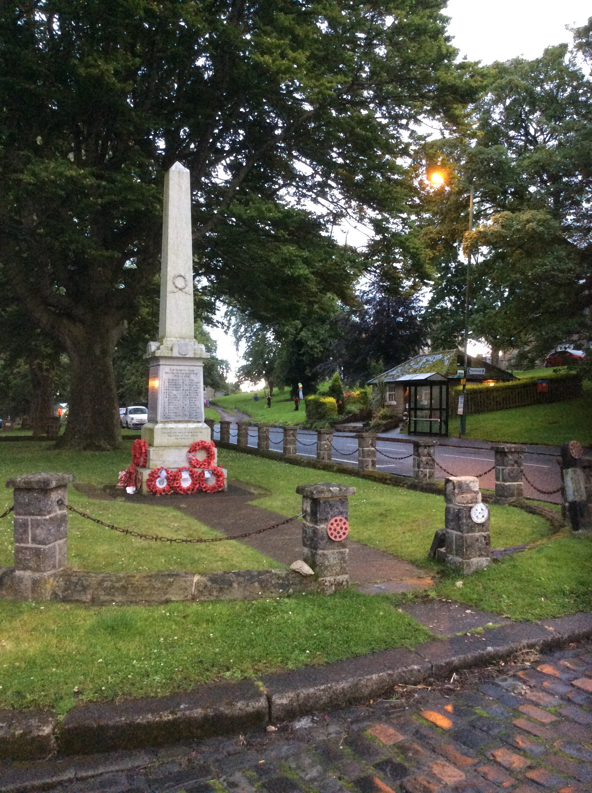
Middleton was a nice village and the campsite was ok, but a way out of town.
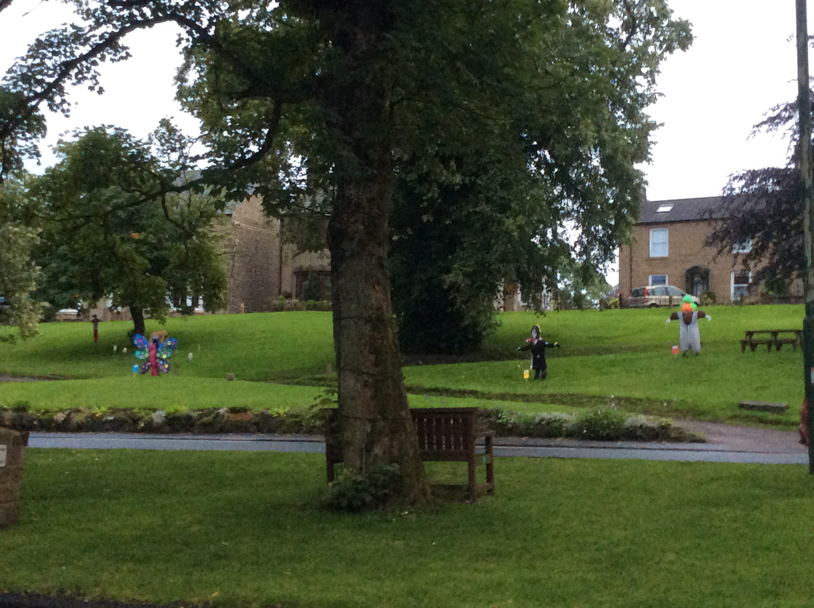
The festival was coming and the local kids had made mannequins.
I ate and got an early night.
Night night.
Dufton to Langdon Beck – God Was ‘Ere
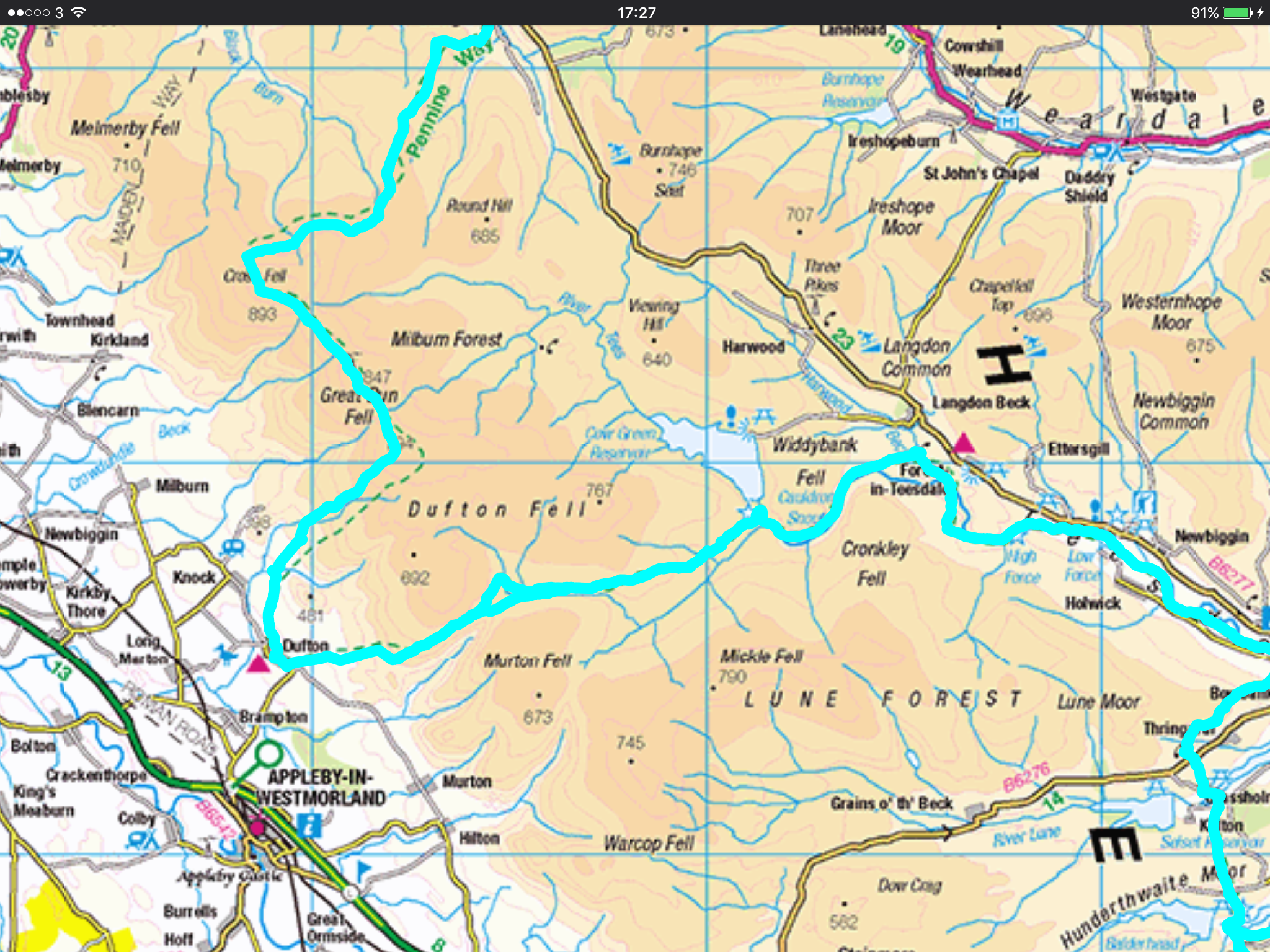
The Way was only 12 miles today so I thought I would do it easily and quickly. I got up and packed a dry tent. Amazingly despite the forecast from hell the weather was dry. I timed it so that I’d be on the way for 10am when the local cafe opened. My fifth full English/Scottish breakfast in seven days. No wonder I ain’t losing weight. And it was great.
This is today’s route to Langdon Beck Hotel, between the two maroon triangles. Hey, hey, hey I’m in a hotel tonight. Not posh but blooming fantastic.
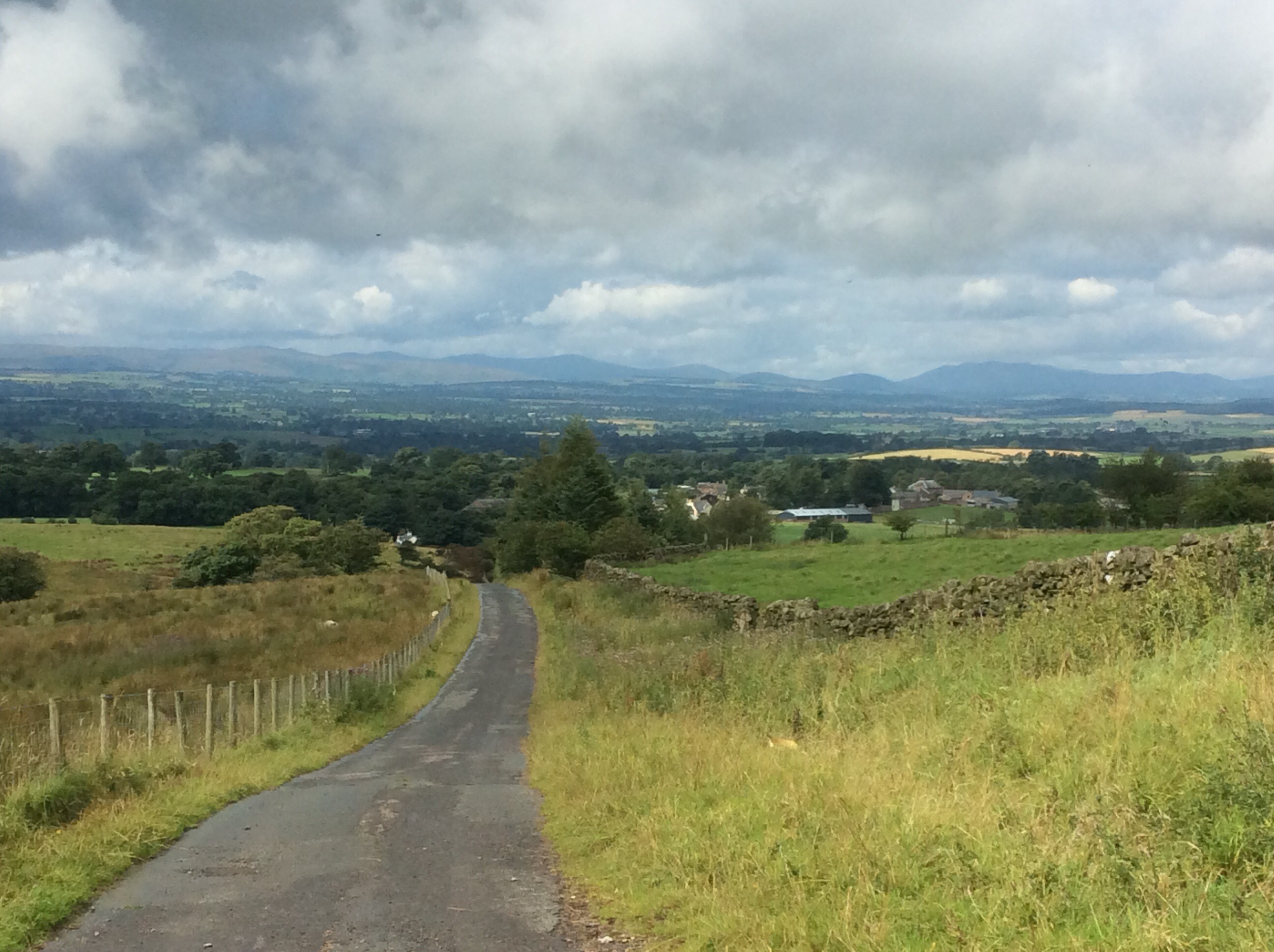
The route ran up the nearest hill turning from road to track to path. Looking back is always nice. I couldn’t choose between these views so I done them both.
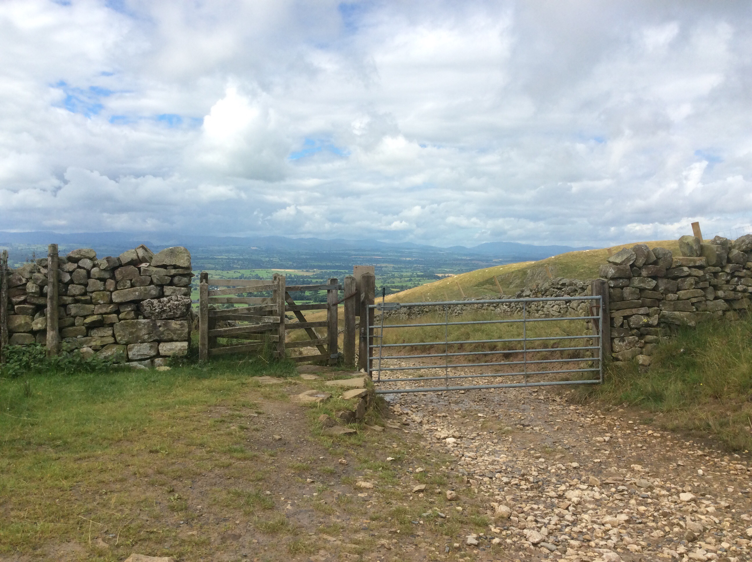
The Way climbs up above 2,000 feet again and then rambles along the edge of a glacial valley. It’s impressive.
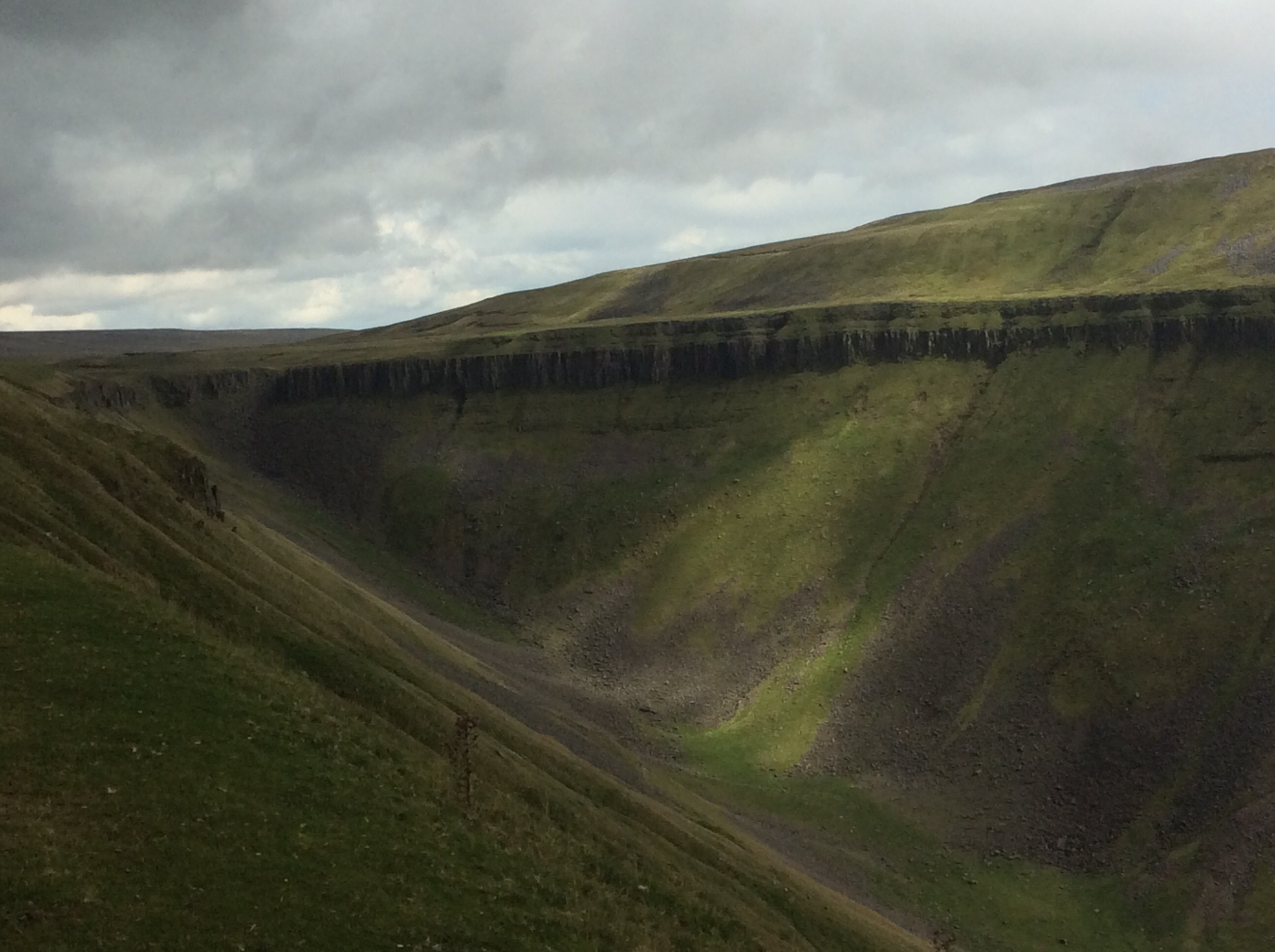
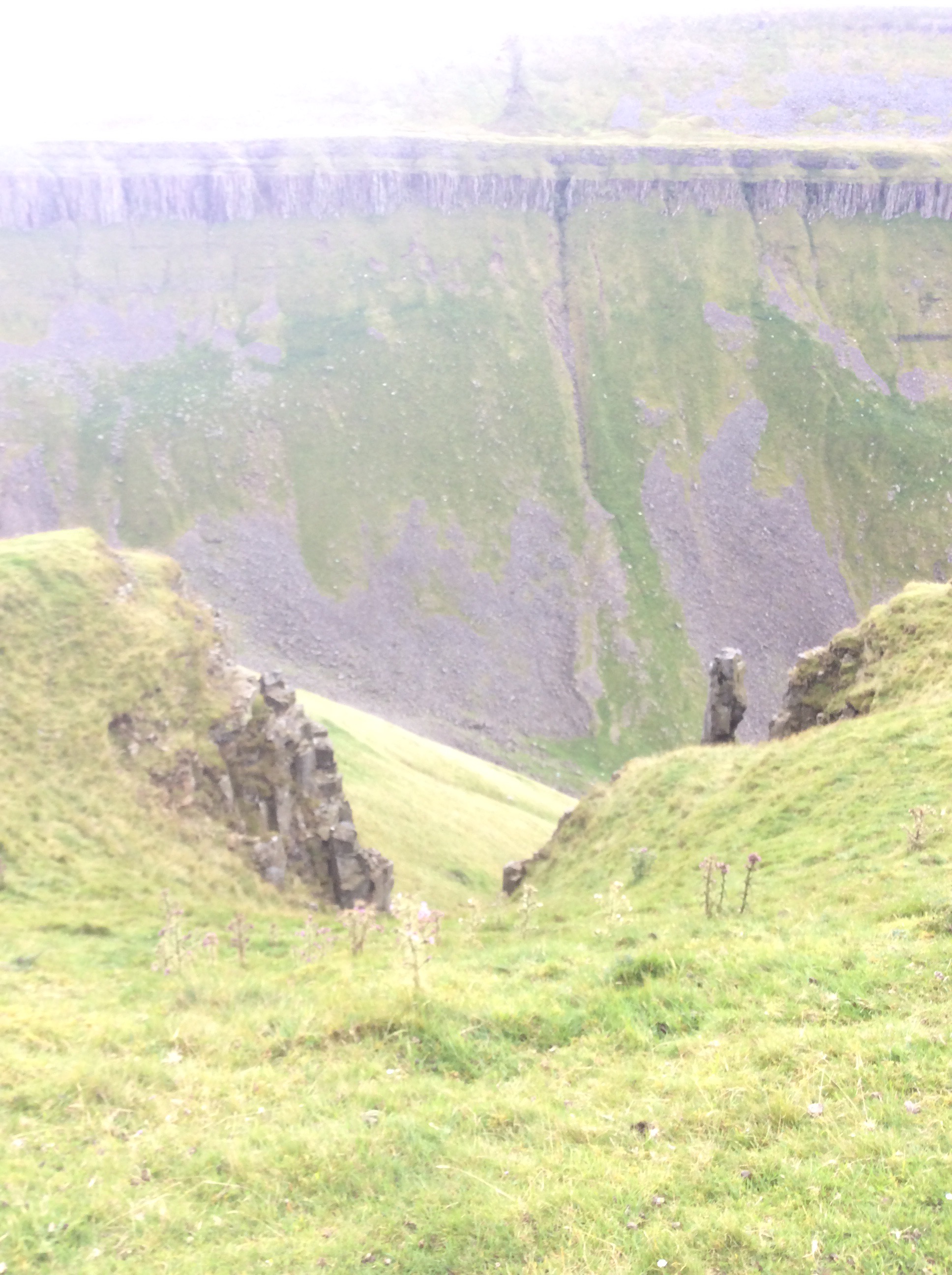
And then when you get to the head of the valley the view back is breathtaking. This is High Cup Nick.
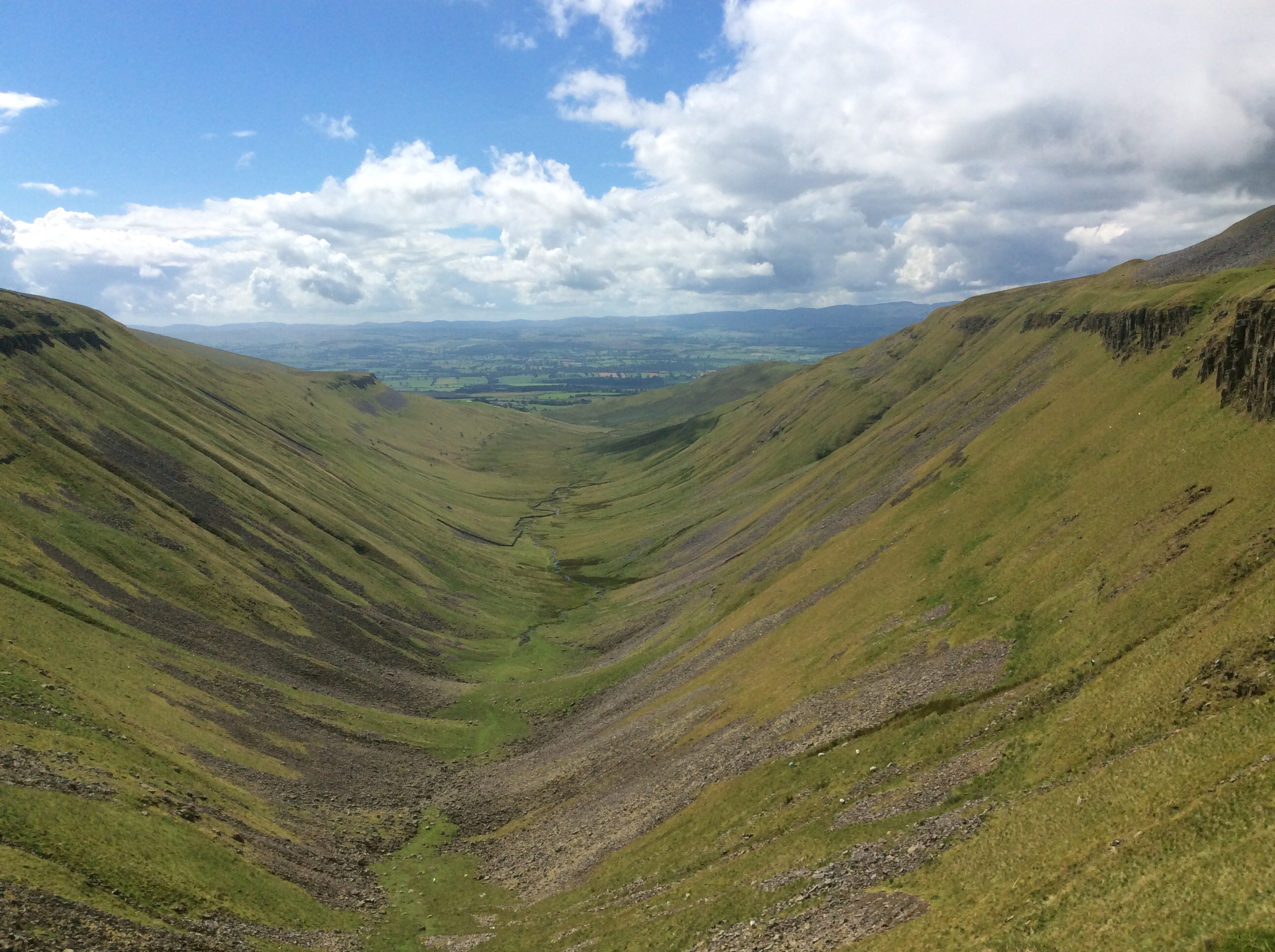
This was a tipping point. The beck emerging halfway down the limestone valley in the above photo eventually comes out into the Irish Sea. A quarter of a mile eastwards and I was following a tributary of the Tees downhill to the North Sea. And on occasions it cascaded quite spectacularly.

And on again.
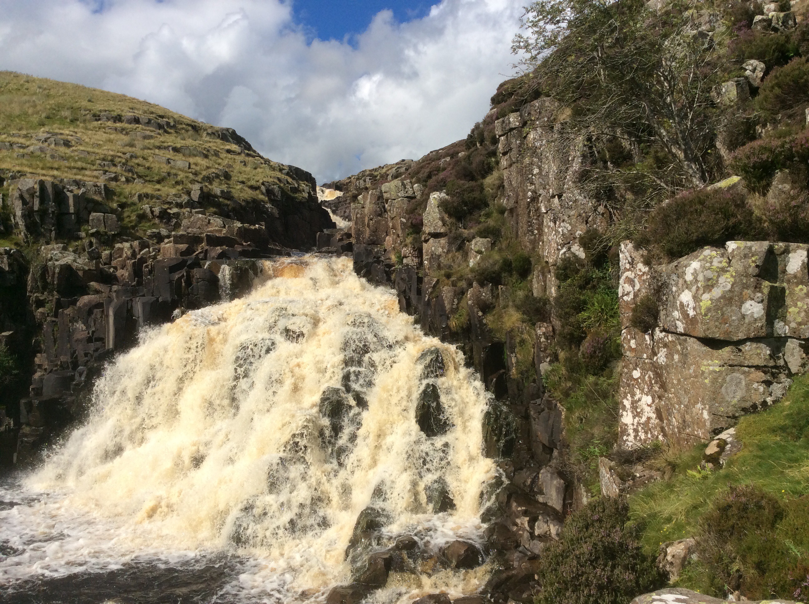
This was tough going. The Way disappears and you have to climb down the rock at the side of the valley, which is tough with a rucksack. I’m not a climber. I like it but I’m too rigid and inflexible, particularly my knees, to do it well.
Further down the river calmed.
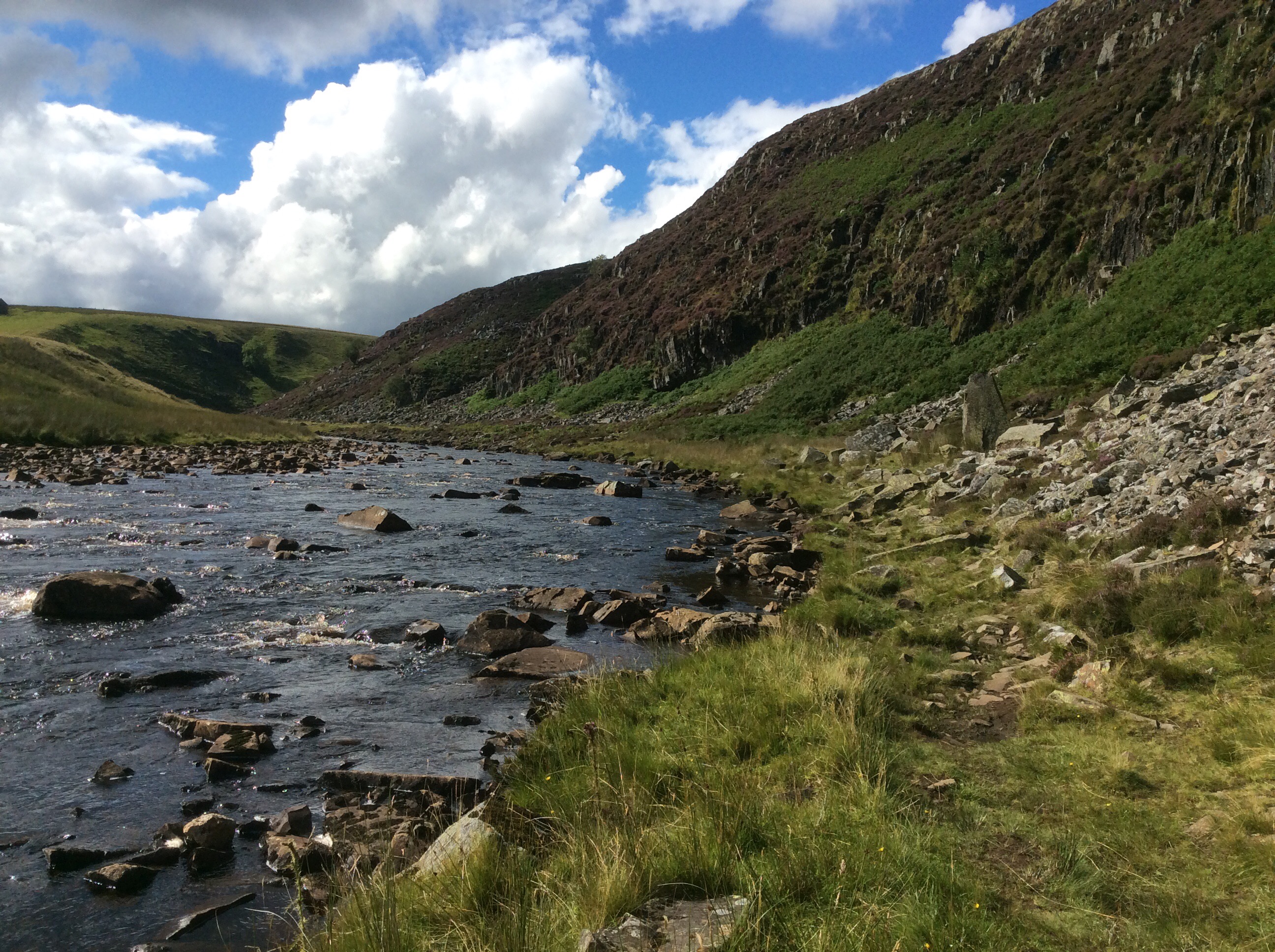
There was a real slowdown for a mile and a half of boulders spread across the valley. This was very tough on legs and feet. Keeping balance on them with a heavy rucksack is difficult.
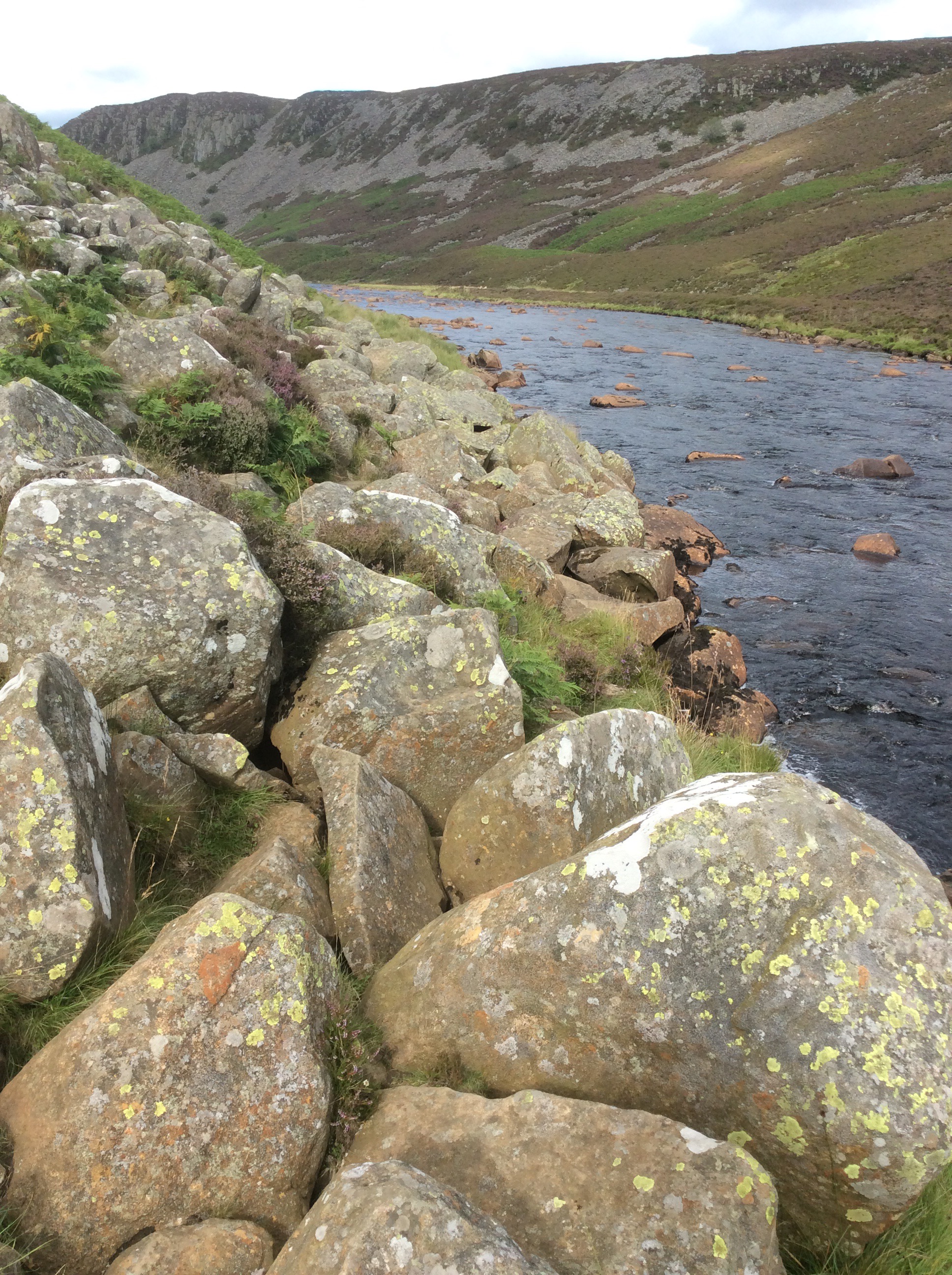
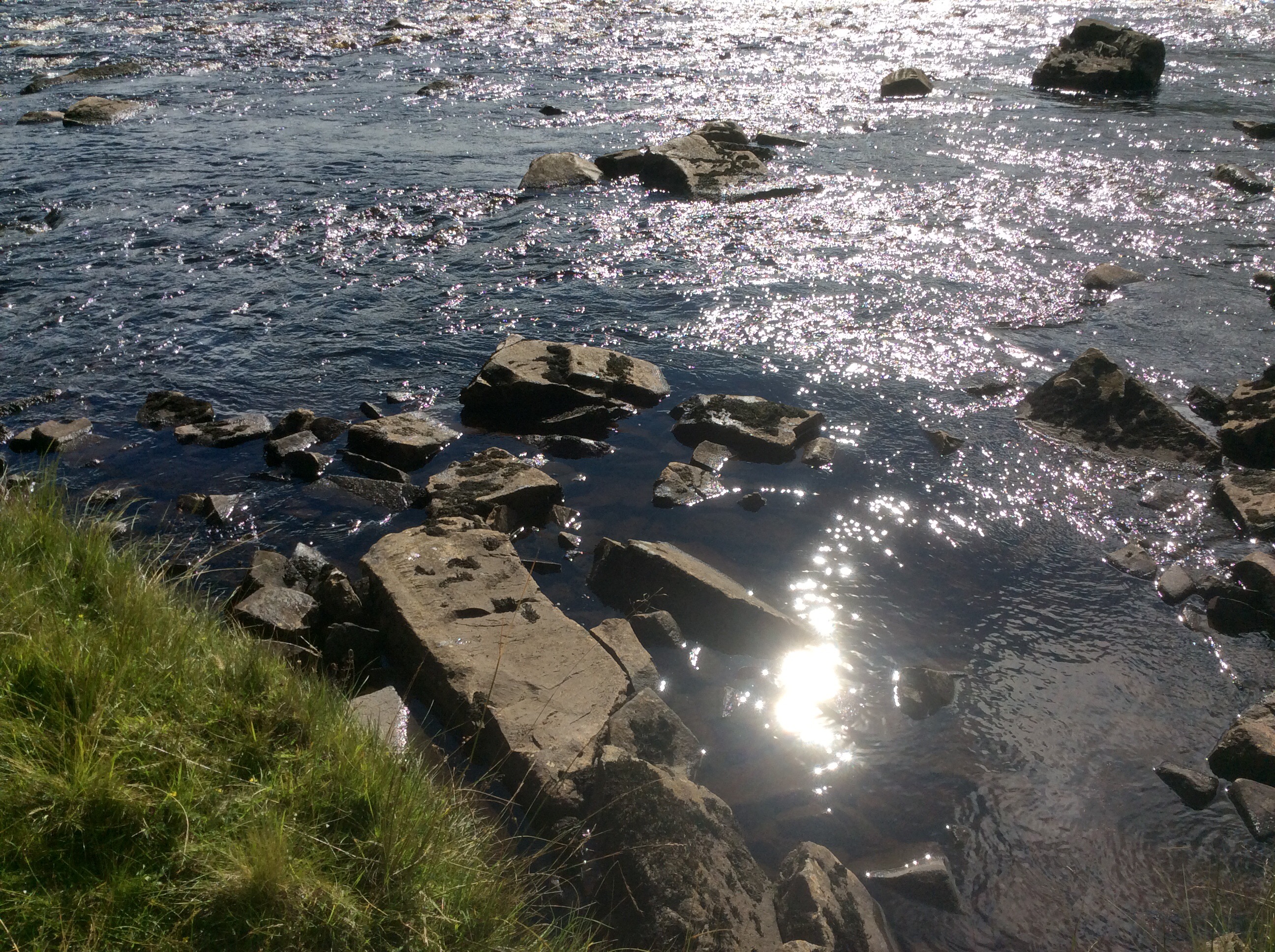
I got a sudden call of nature and stood with a foot on each of these two stones in the river and released my doo-dah. With a bit of luck it’ll come down a tap in Hillsborough.
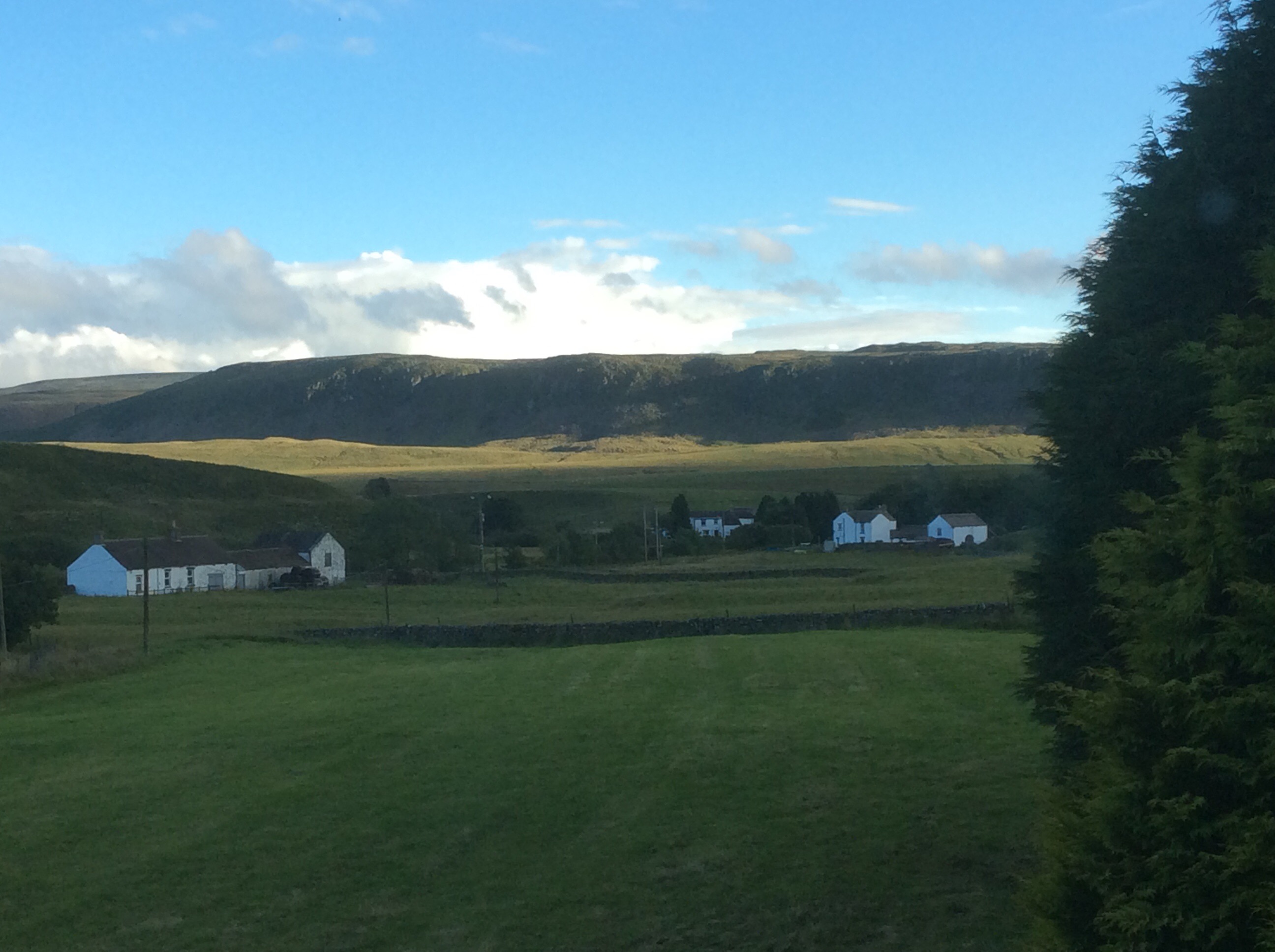
The route went on and on and eventually turned left up a track to the Hotel. Through a field of cows and a rampant bull. I climbed over a wall and waded through a deep bog to escape. The Hotel was great, food great and cheap and a good bath and sleep. This is the view from my room.
Night night.
Alston to Dufton, the Highs and Lows
Great breakfast from Celia, although I didn’t think physically she was up to it, but routine is a life extender. Unless it’s a routine of suicide bombing. That usually cuts it short. I was a bit sorry to say goodbye to Alston. Nice village, nice folk, nice welcome. Including one from the Mad Hatter.
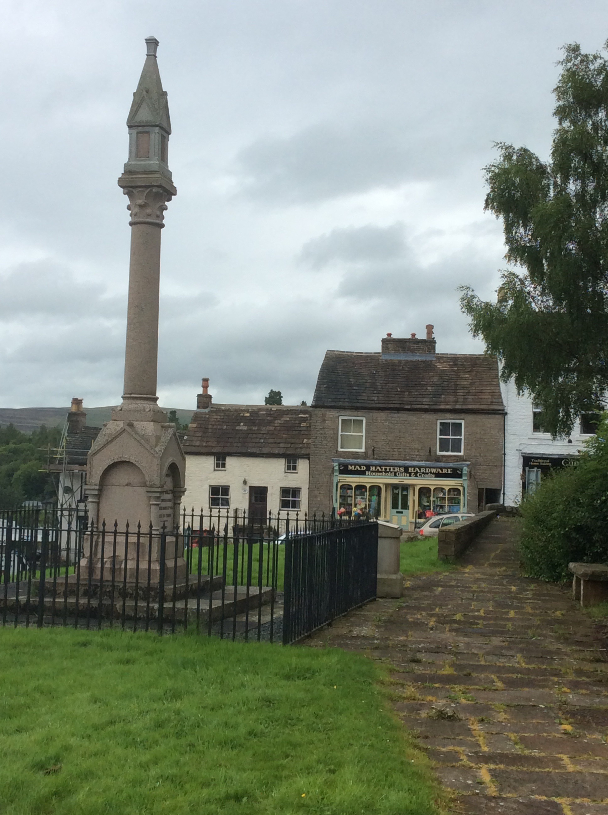
I bought supplies for wild camping tonight as I didn’t think I could make the 20 miles to Dufton. The route climbed 11 miles to peak on Cross Fell, at nearly 3,000 feet it’s the highest in England outside of the Lake District. It then dips and rises to three more peaks, lesser but still big, before dropping the last five miles to Dufton. Too much – Boo. But my feet improved a lot overnight – Hooray. However my boots were still soaking wet – Boo.
The route followed the South Tyne four miles upstream to Garrigill where it cut up much steeper for the seven miles to the summit. The river views were lovely and the weather was overcast but only occasional showers. The wind was up so it’d be lairy on top.
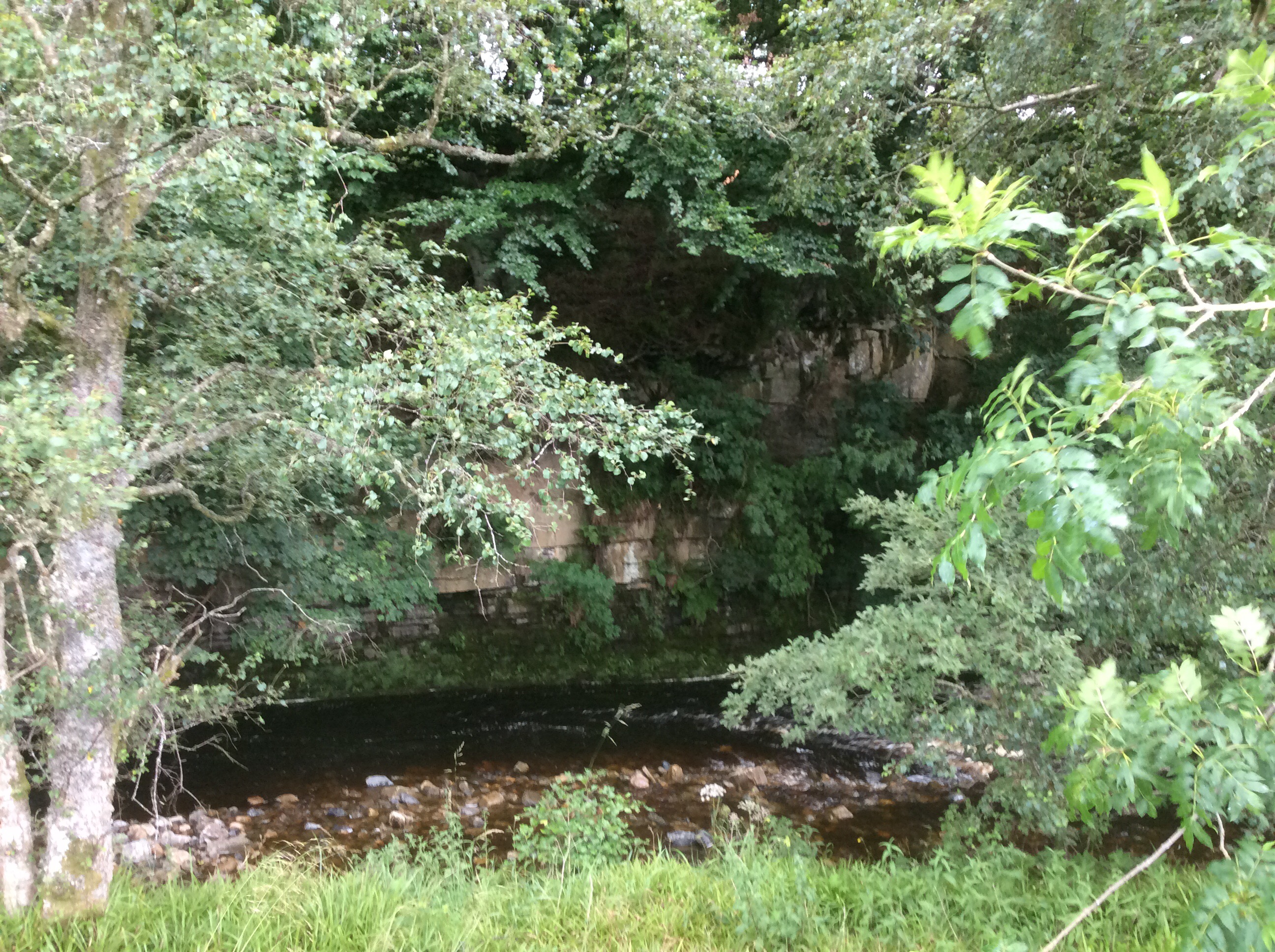
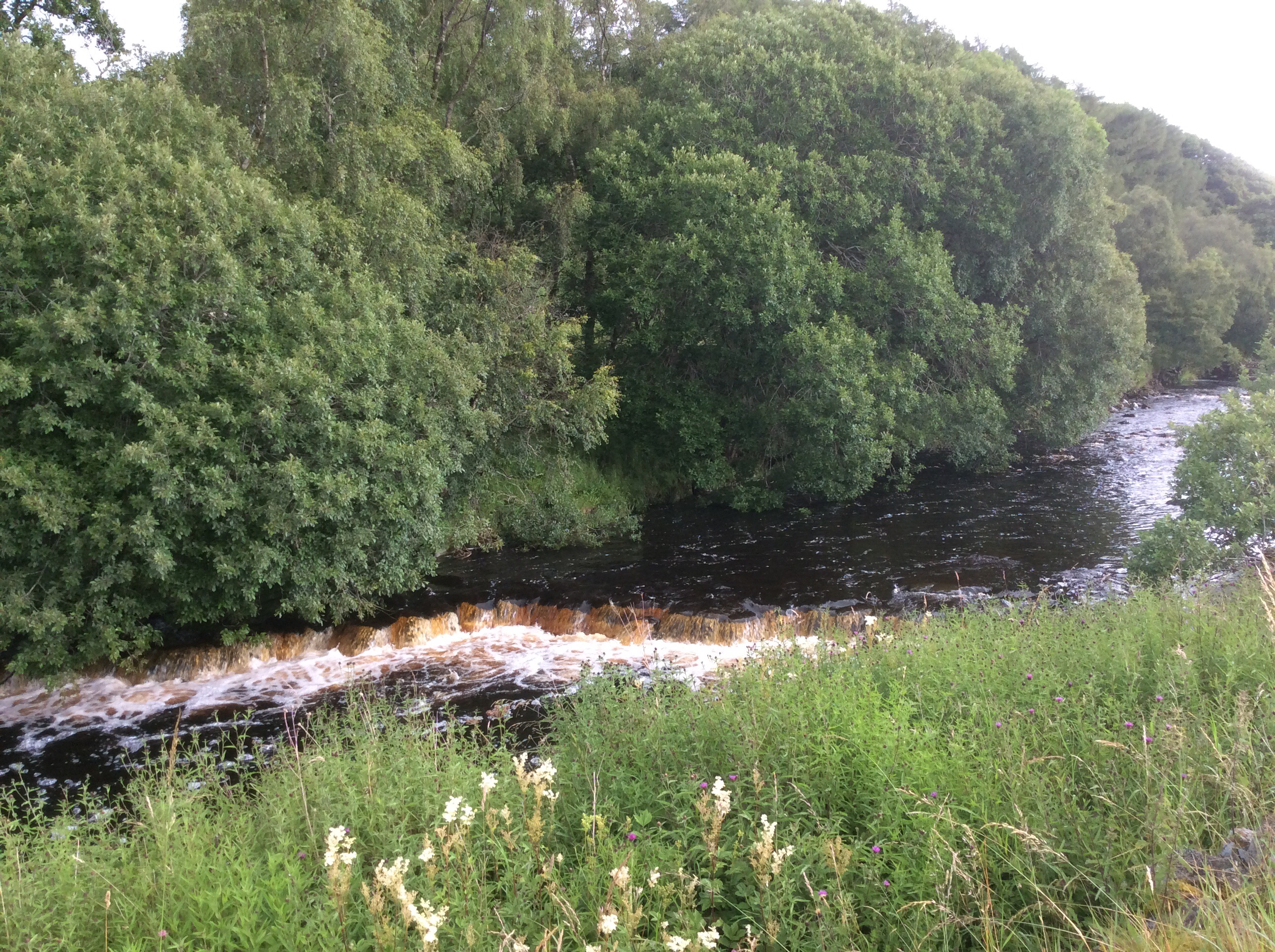
After Garrigill I needed to rest every 100 paces. I’m not up to the Pyrenees next year. Cross them, yes, but not along the top. My feet are too susceptible to damage from wet boots and my body strength isn’t tough as a nutter wasterd anymore. The views back were limited until I got higher up.
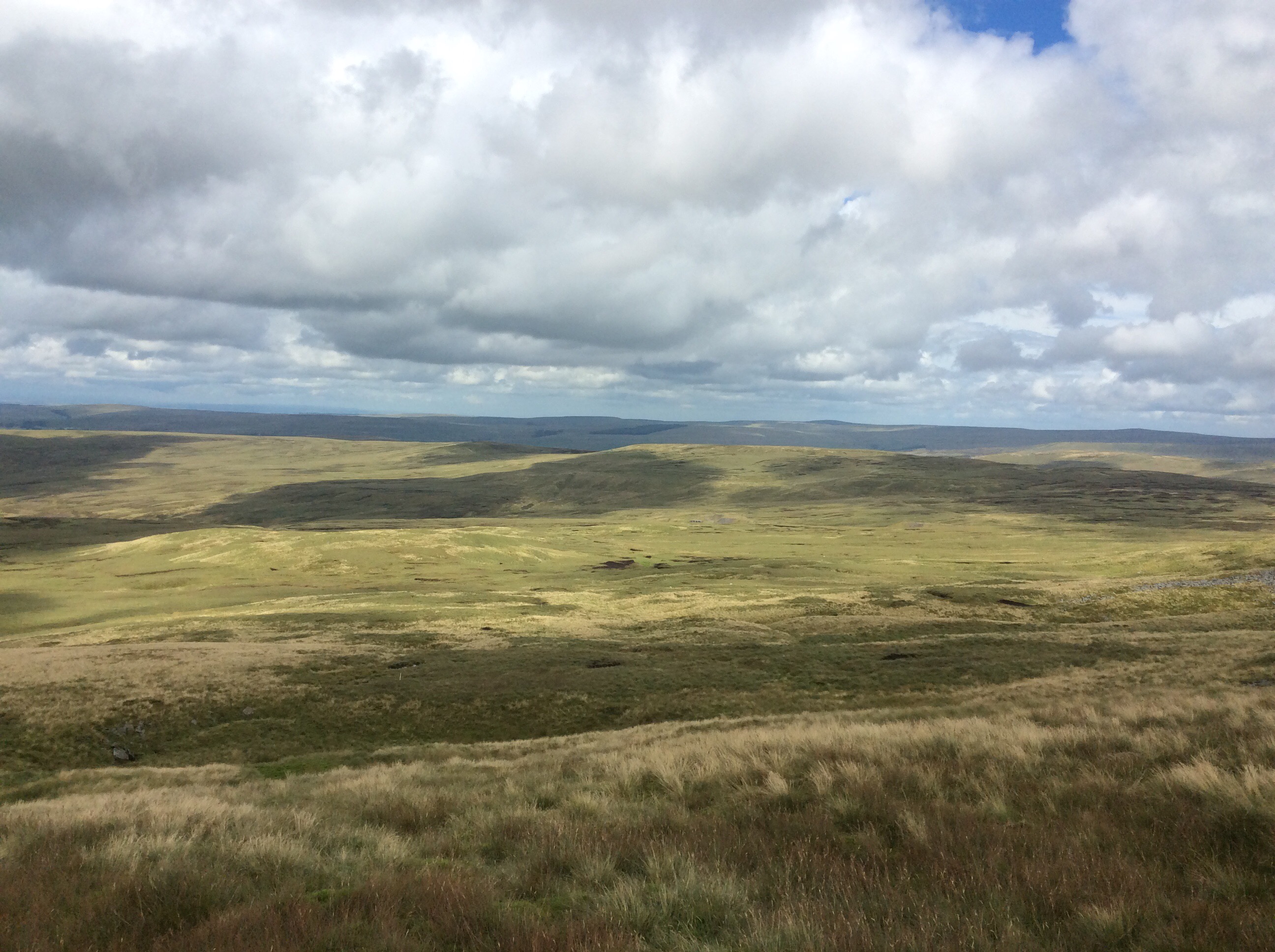
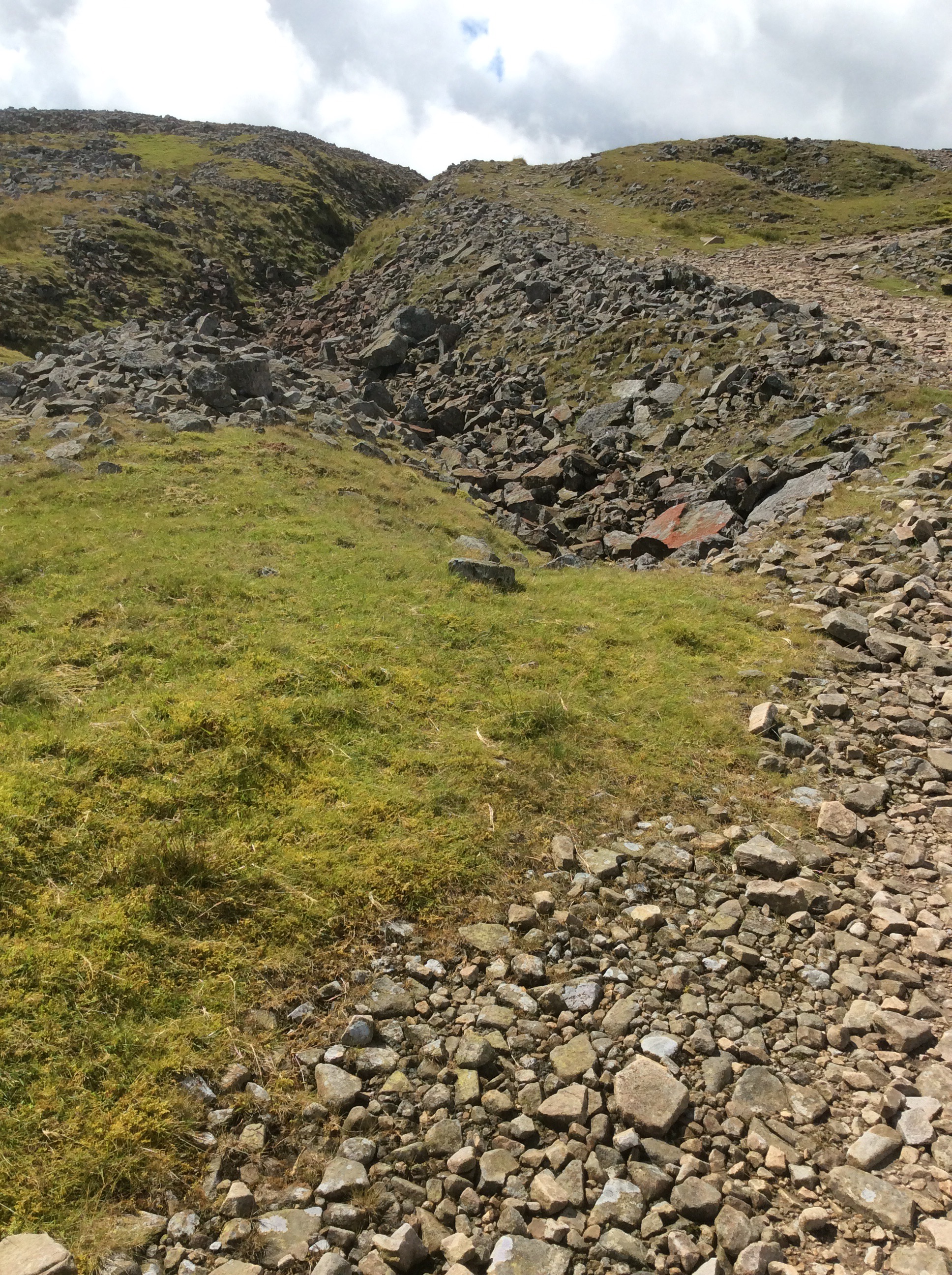
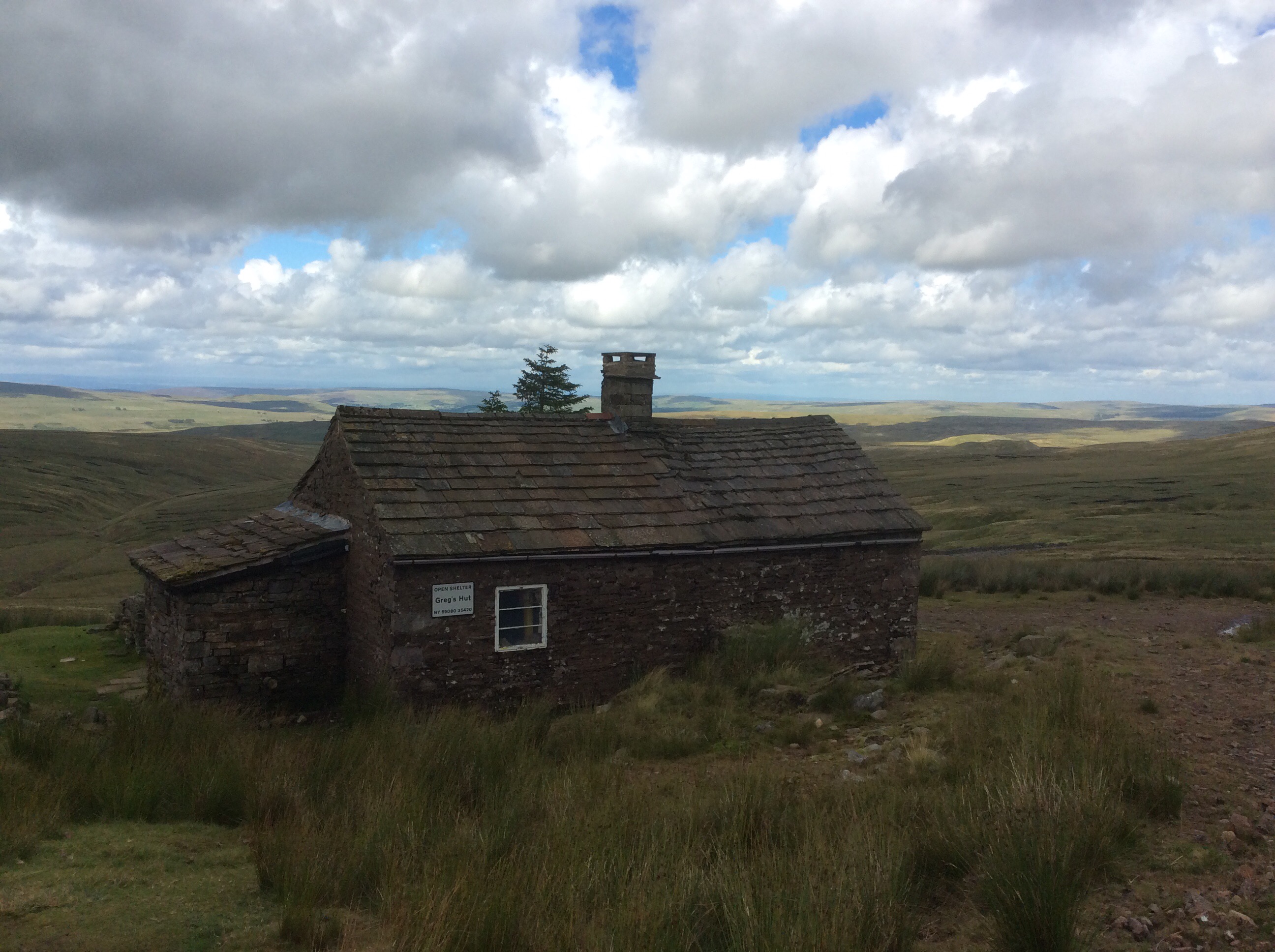
Near the summit of Cross Fell is a miners’ hut where the guys would live Monday to Friday and commute down to the village (on foot) for the weekends. Lead miners smashing and scouring the rock looking for the soft metal.
And Greg’s hut is now preserved by volunteers as a bothy and emergency refuge. Saving many lives in the depths of winter and spring.
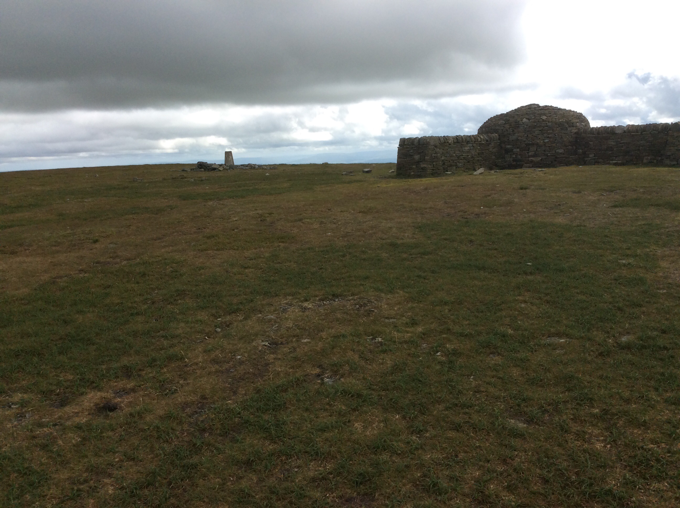
The summit was elusive but I caught it. And nearly got blown off for my pains. It was incredible, literally lifting one off one’s feet, one.
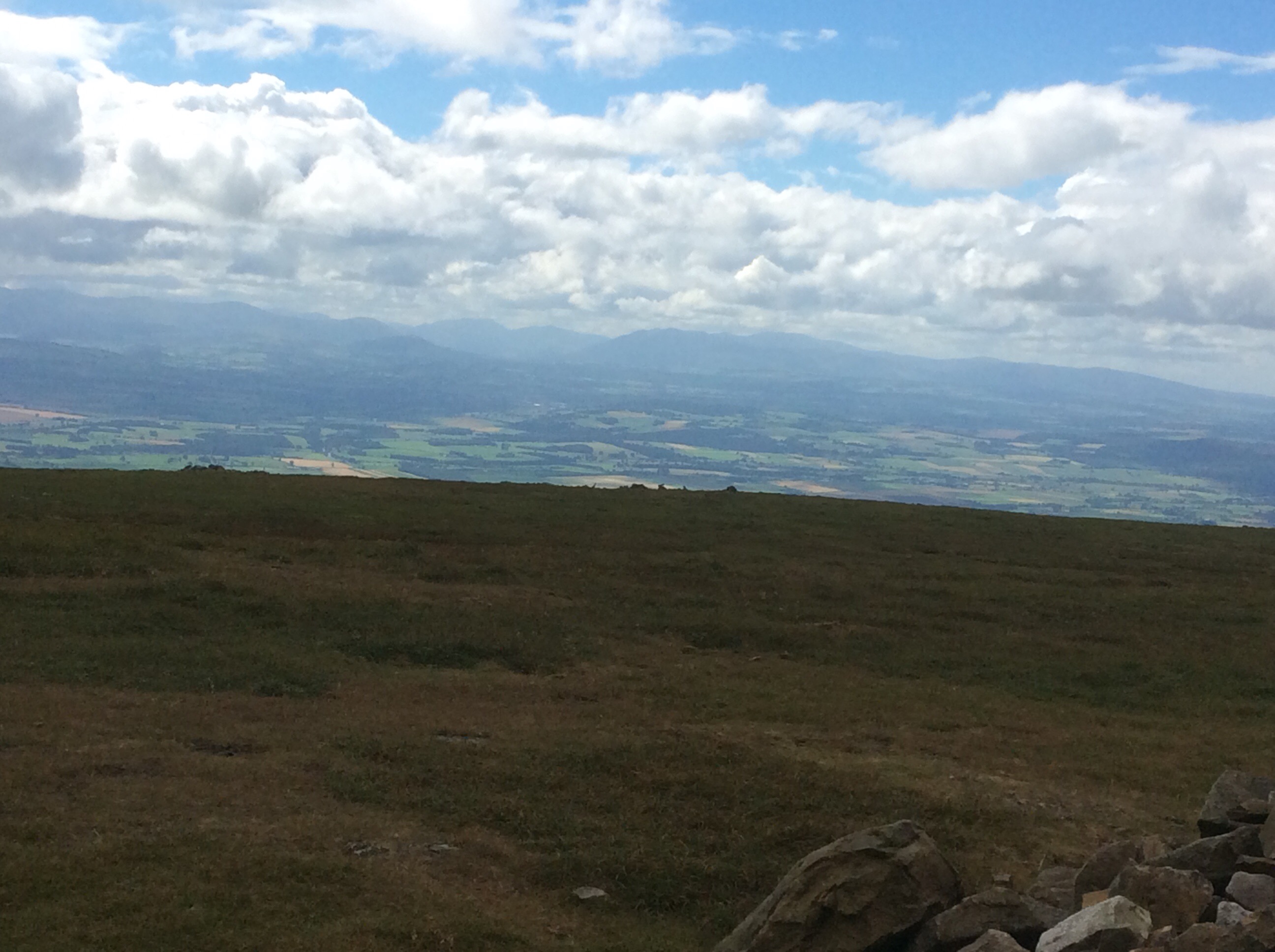
With the first views I had seen of the Lake District to the west. Stunning. I’m in Cumbria now. Lots of grouse up top and a gamekeeper I spoke to on the way up was a Carlisle fan. Always a strong indicator of geography. The Pennine Way is further west than Manchester here.
The summit was a deep bog, as were two of the next three summits, and all of a sudden I thought I could make Dufton and a campsite with a toilet, shower and pub. Looking back Cross Fell was brooding again.
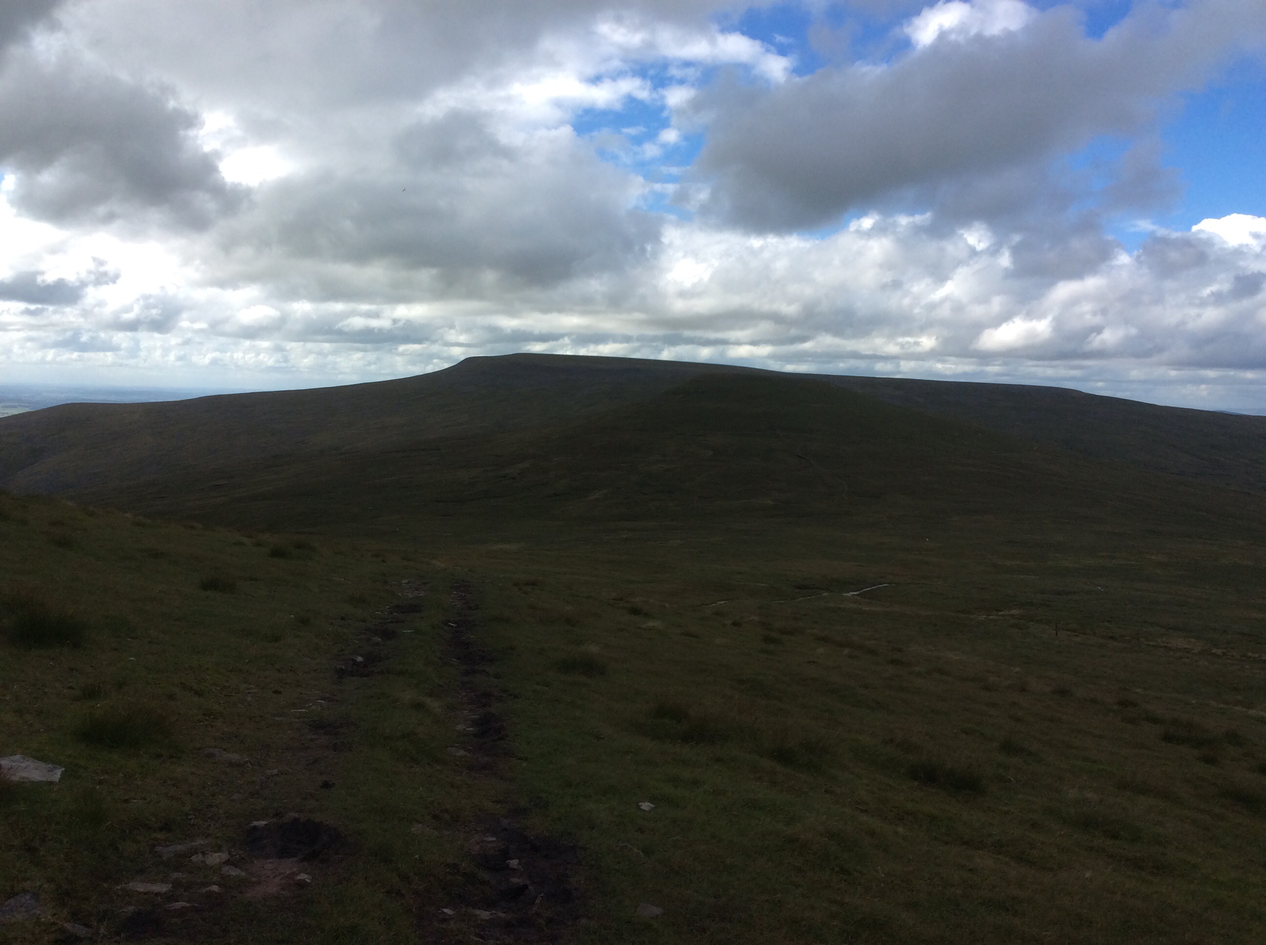
Looking forward I gritted my teeth and tried to ignore the pain of the soles of my sodden feet, standing on bog grit on my inner soles that couldn’t be knocked out. I chanted, with each step, ‘Come on old lad, keep on going, Come on old lad, keep on going’. Four hours later the Way had dropped off the last summit and dropped down steeply towards Dufton.
I made it. 7.45pm and I did it. Ten and a half hours walking and climbing. I pitched the tent on site, cleaned myself up, ate my provisions, limped down the pub for a pint and limped back.
Night night.
Greenhead to Alston – I hurt myself today
A good night’s kip. The breakfast at the Greenhead pub lived up to expectation. Fantastic. I took my time, revisiting the breakfast bar and finishing the very big teapot. The forecast was bloody awful, but the sun was out and it was dry. It stayed dry, against the odds, until late on in the walk. This was the 17 mile walk.
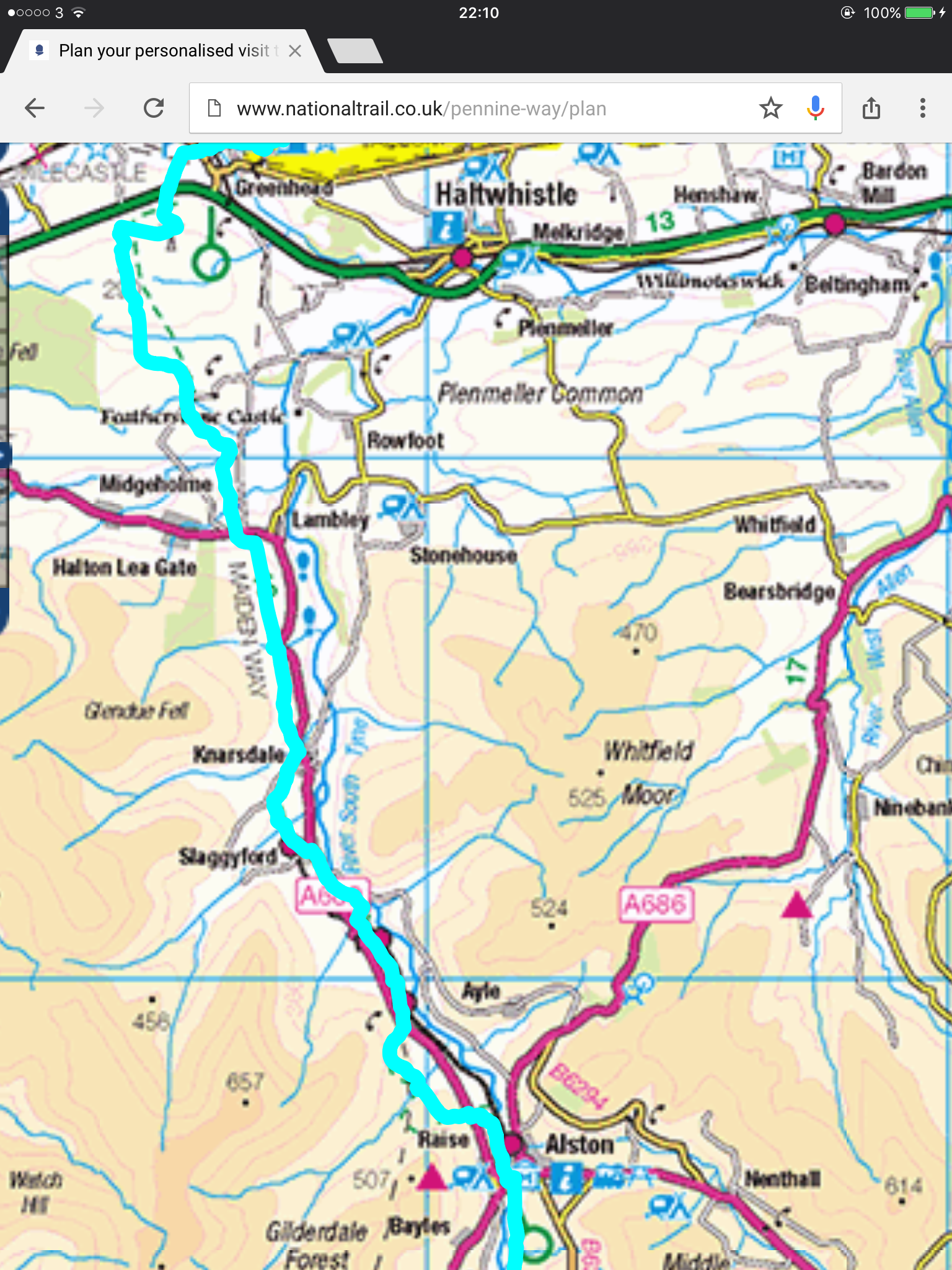
A relatively straight trail; and the Way went forever on.
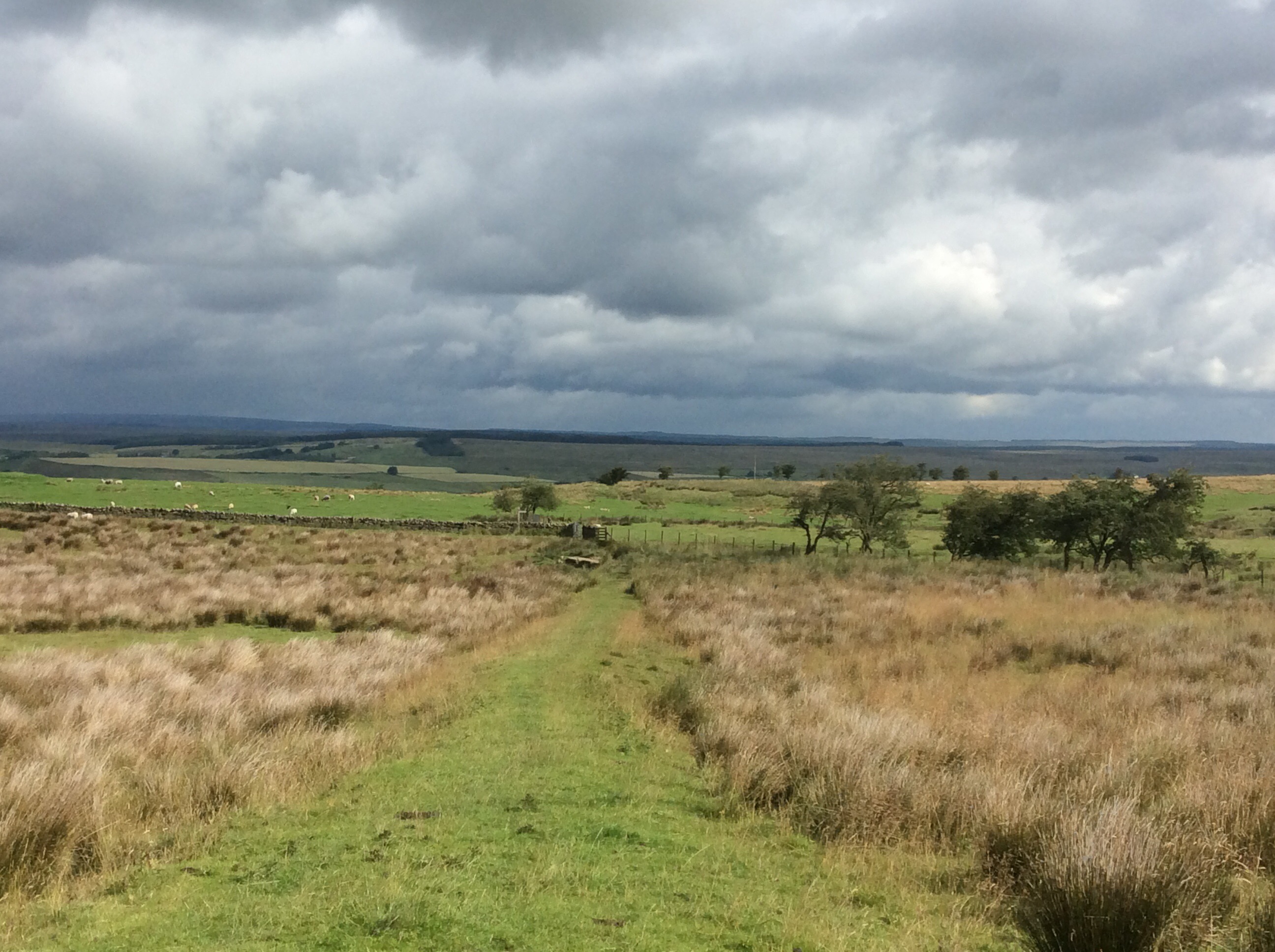
The worrying feature of today was walking through herds of cows and hoping I wasn’t splitting a cow from its calf. They can get a bit lively if you do. There were bulls in there too and energetic young bullocks. Face forward, uncovered by my hood so they know I’m human. Vaguely. Eyes down to the ground, but keeping a sideways glance for any adverse movement which would herald the spoiling of my shorts. I would rather walk the plank. And I did!
This is cattle and sheep farming land. Sheep in the higher pastures and cattle lower down. I spotted a bull, alone in a huge field, which the Way passed through. On the other side of the wall were cows and calves. I jumped over the wall to avoid the bull and the farmer came over a hill on his quad bike and spotted me. He drove over and I said that I’d jumped over because his bull scared me. He said ‘It’s a cow, and the bull is over here with his cows.’ I felt a bit foolish. But this is what happened to the last bloke who wasn’t careful with cattle.
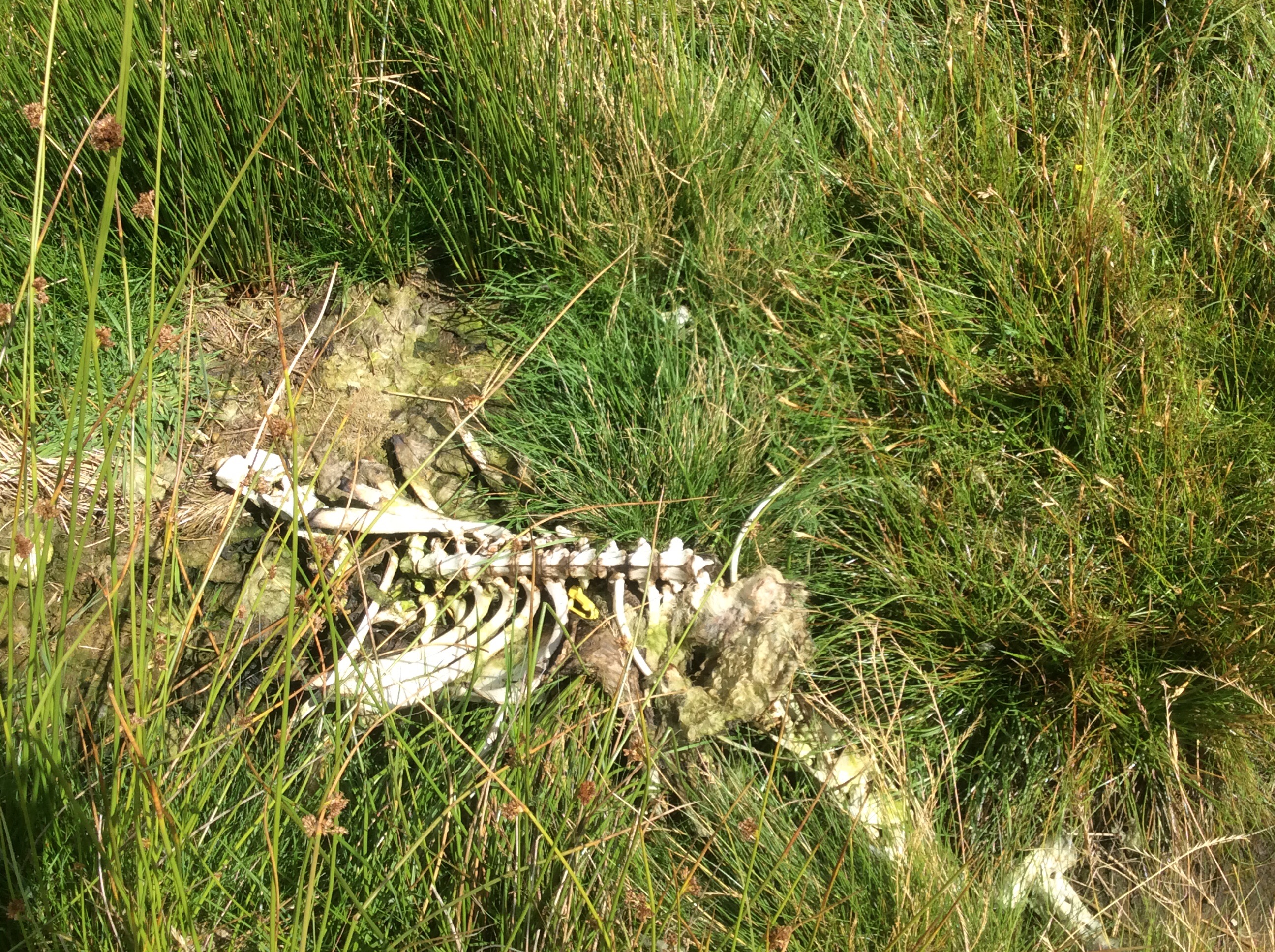
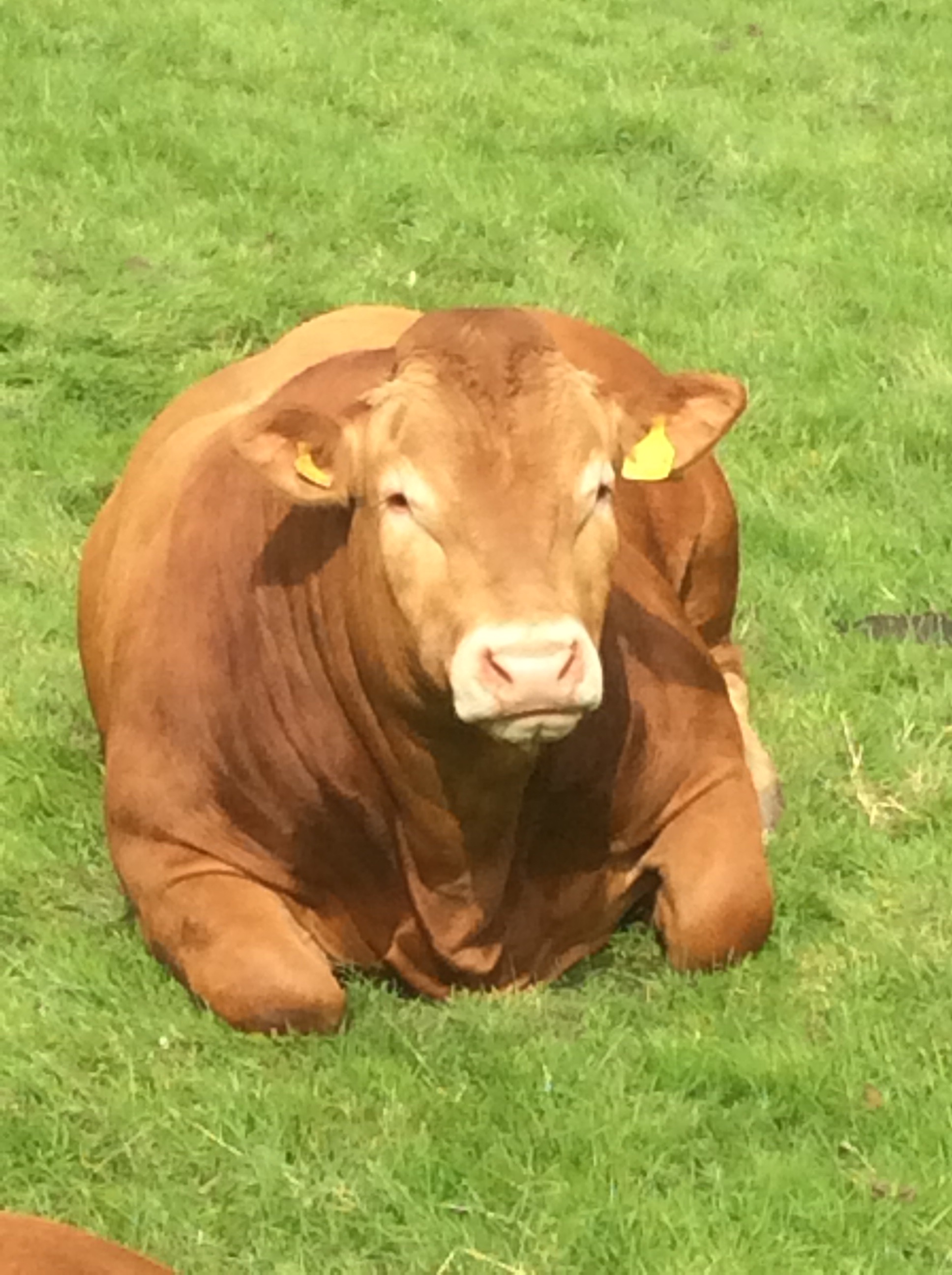
And just down the road this fat wasterd was eyeing me up. Waiting to pounce.
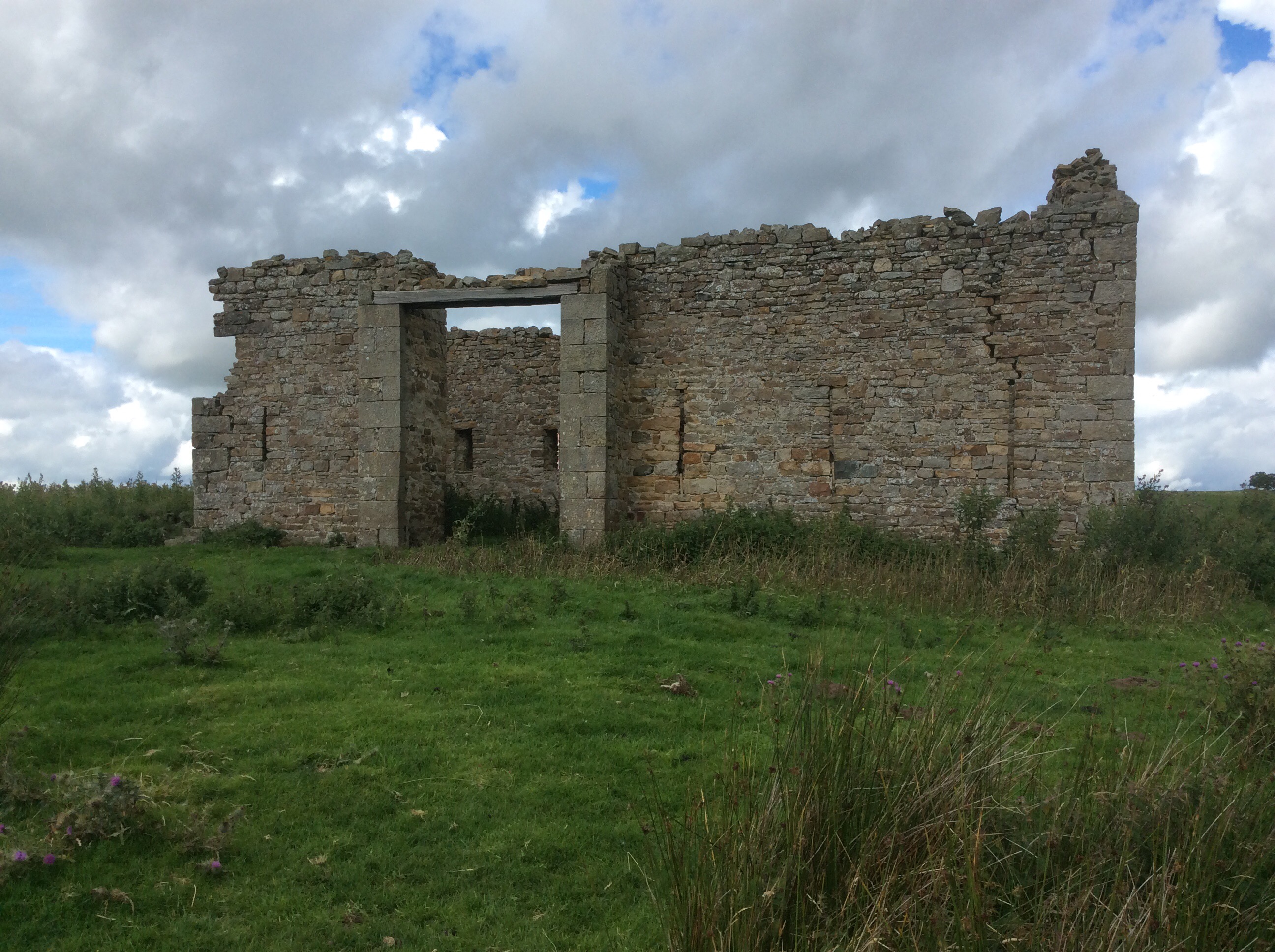
Some of the barns were very old, built with rock that looked like it might have been pinched from Hadrian’s Wall.
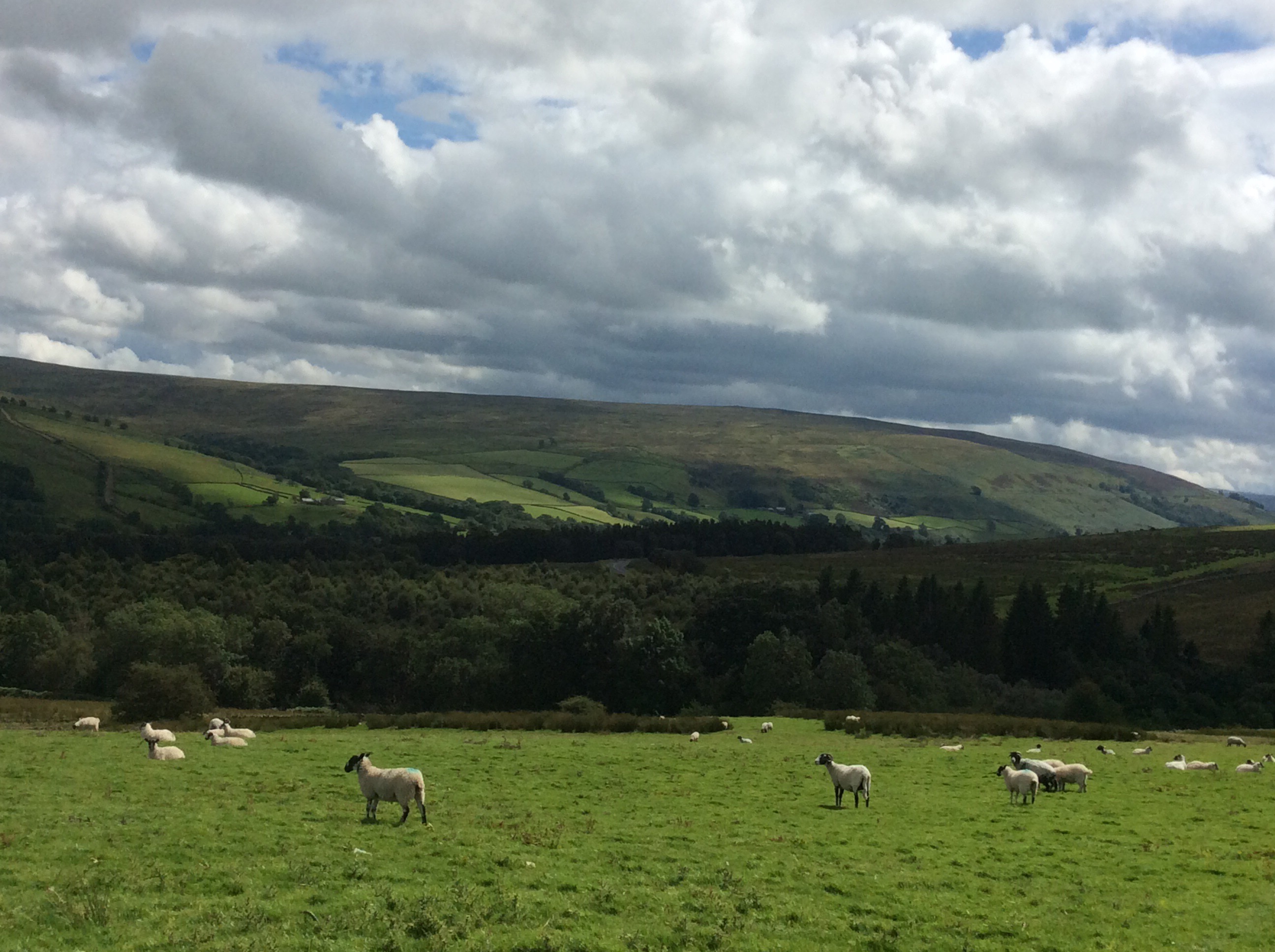
The Way cut over the hills and started winding up the side of the South Tyne valley. The weather was still holding good and the sun was out intermittently. So much that at the end of the day my baldy head was sore a bit on top.
A delightful stream came down the hillside and it was a lovely view.
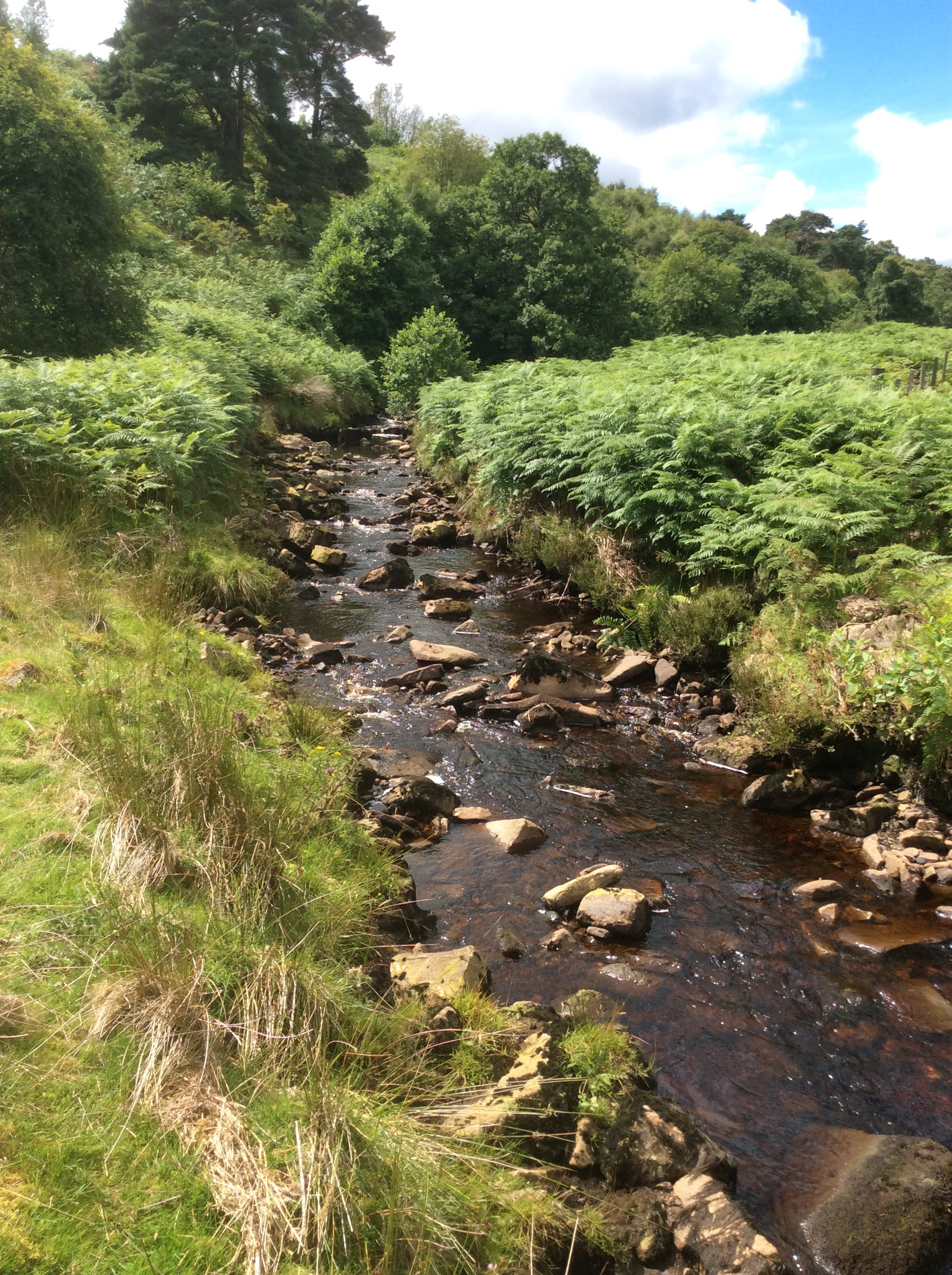
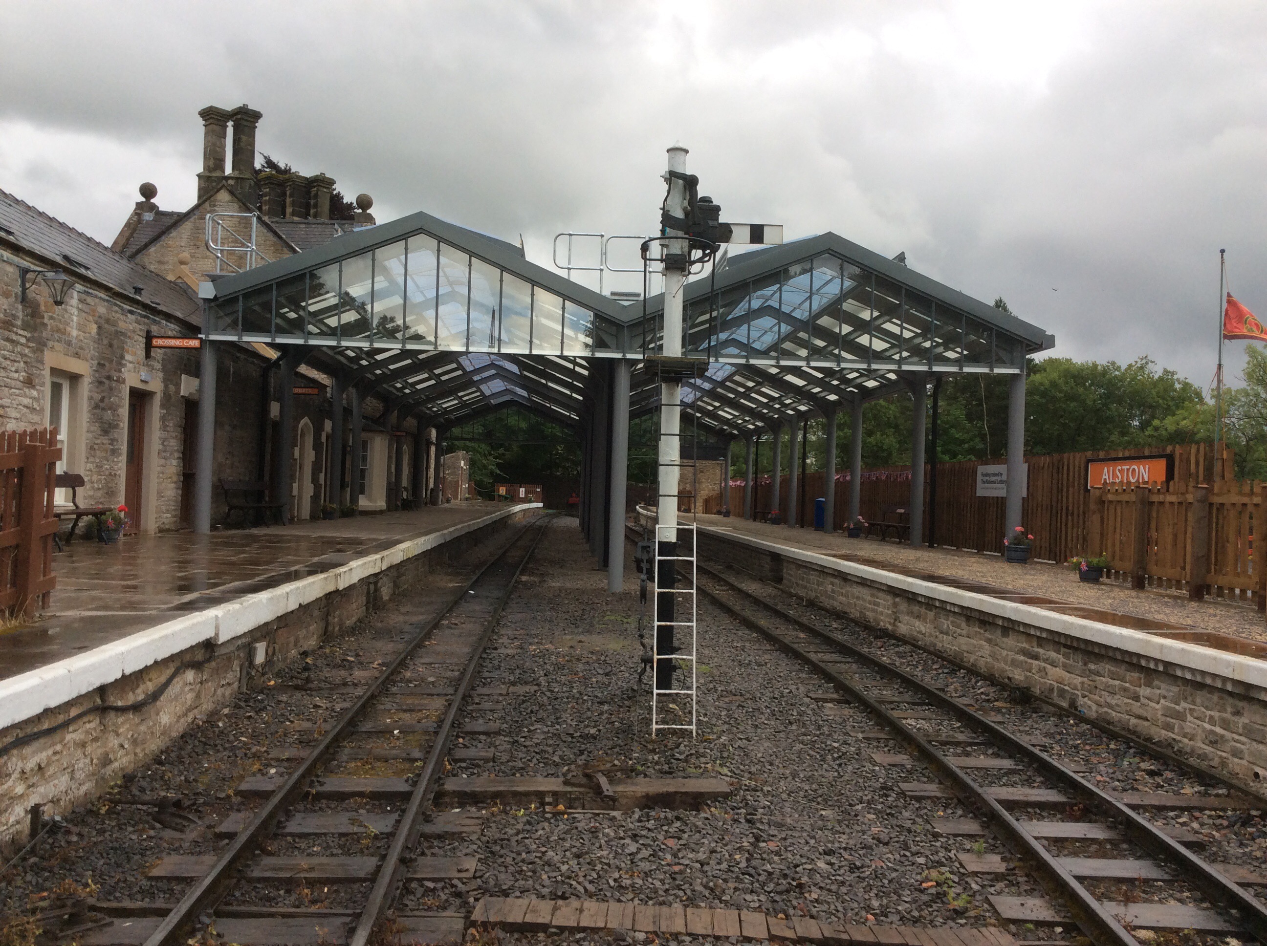
I reached Slaggyford and started out on the South Tyne trail along the rail track, meeting the PW at Alston four miles down the pitch. I’d heard that the views from the trail were great so I deserted the PW for a while.
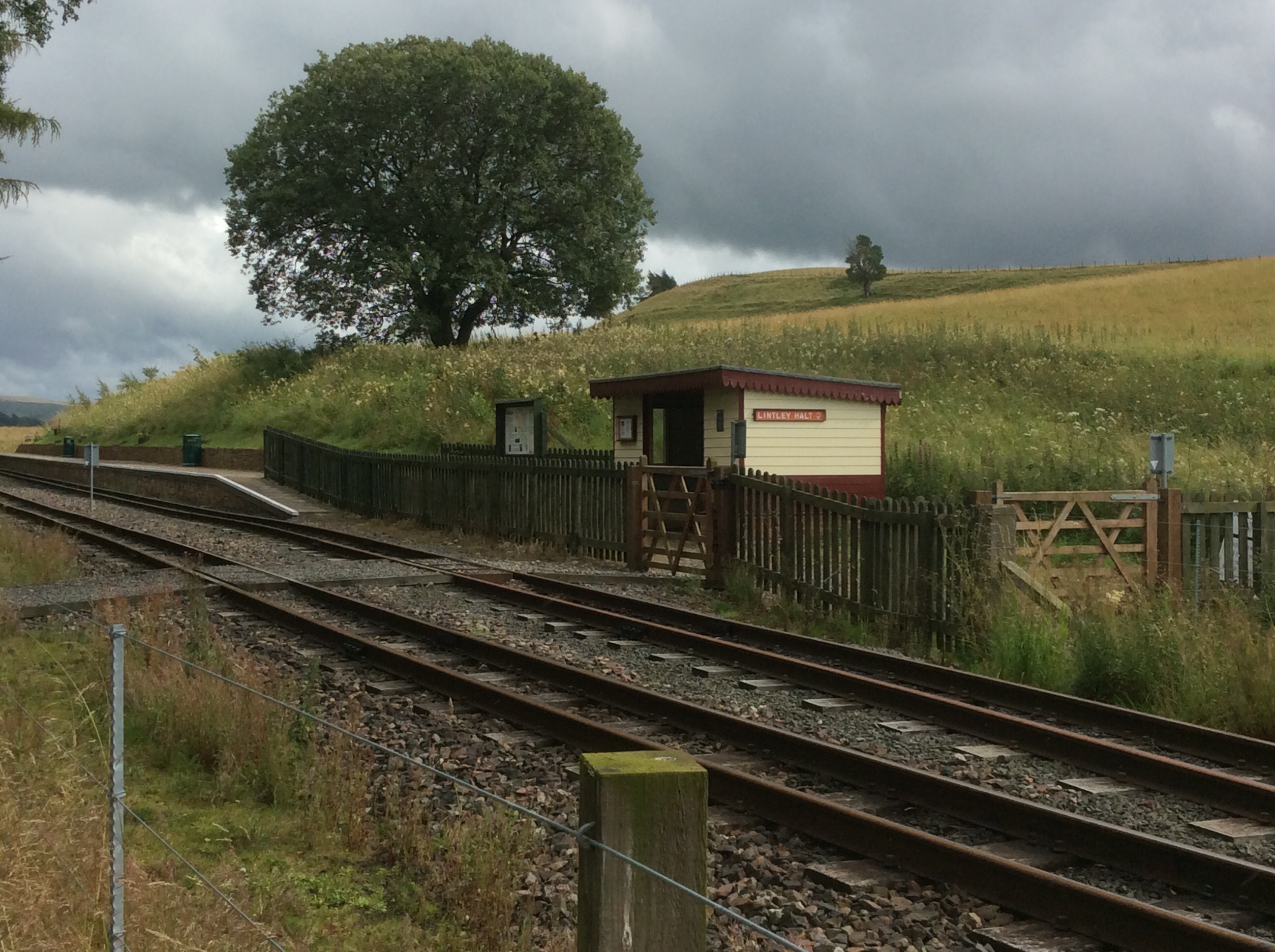
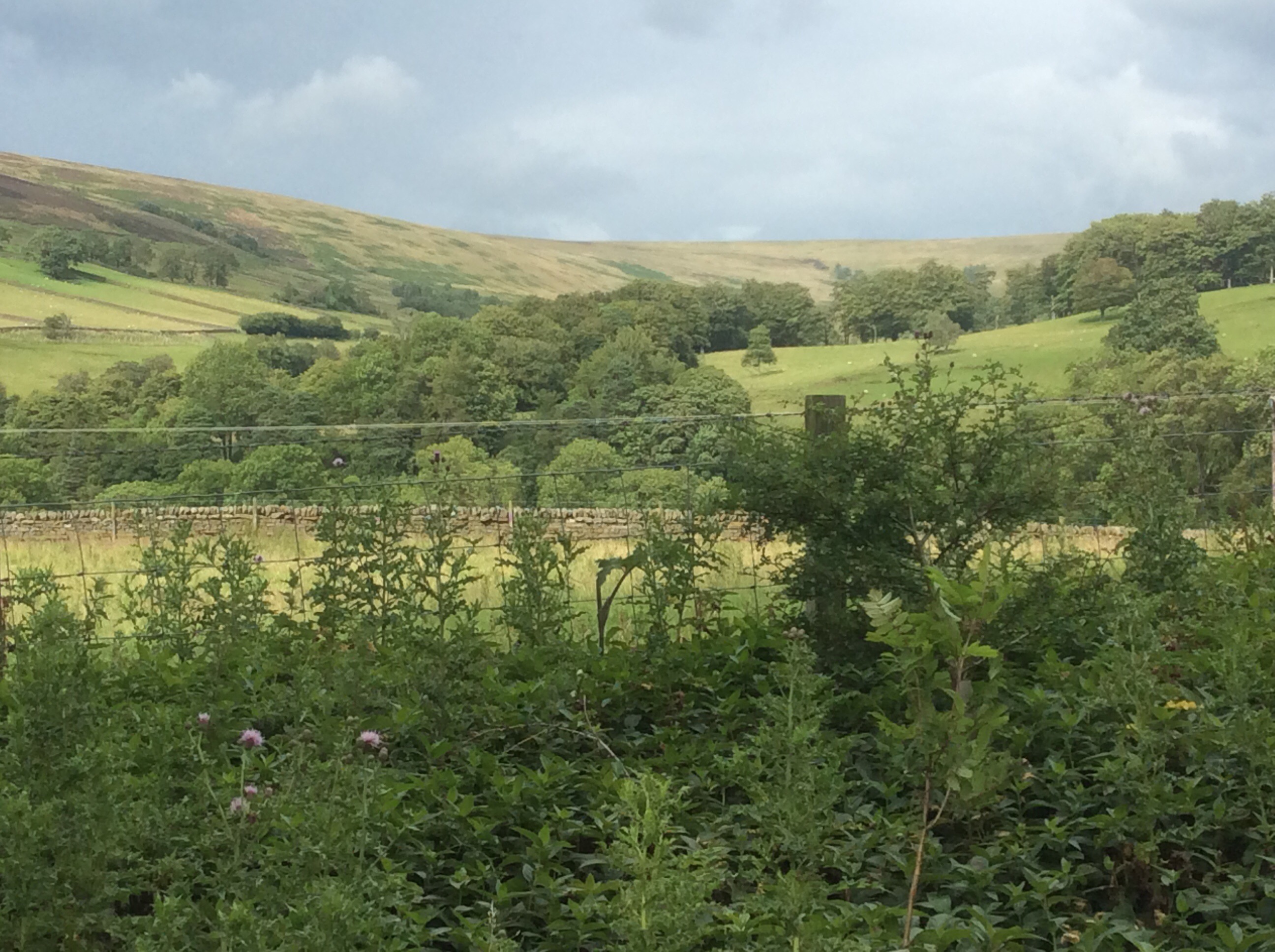
It was true. The views were delightful.
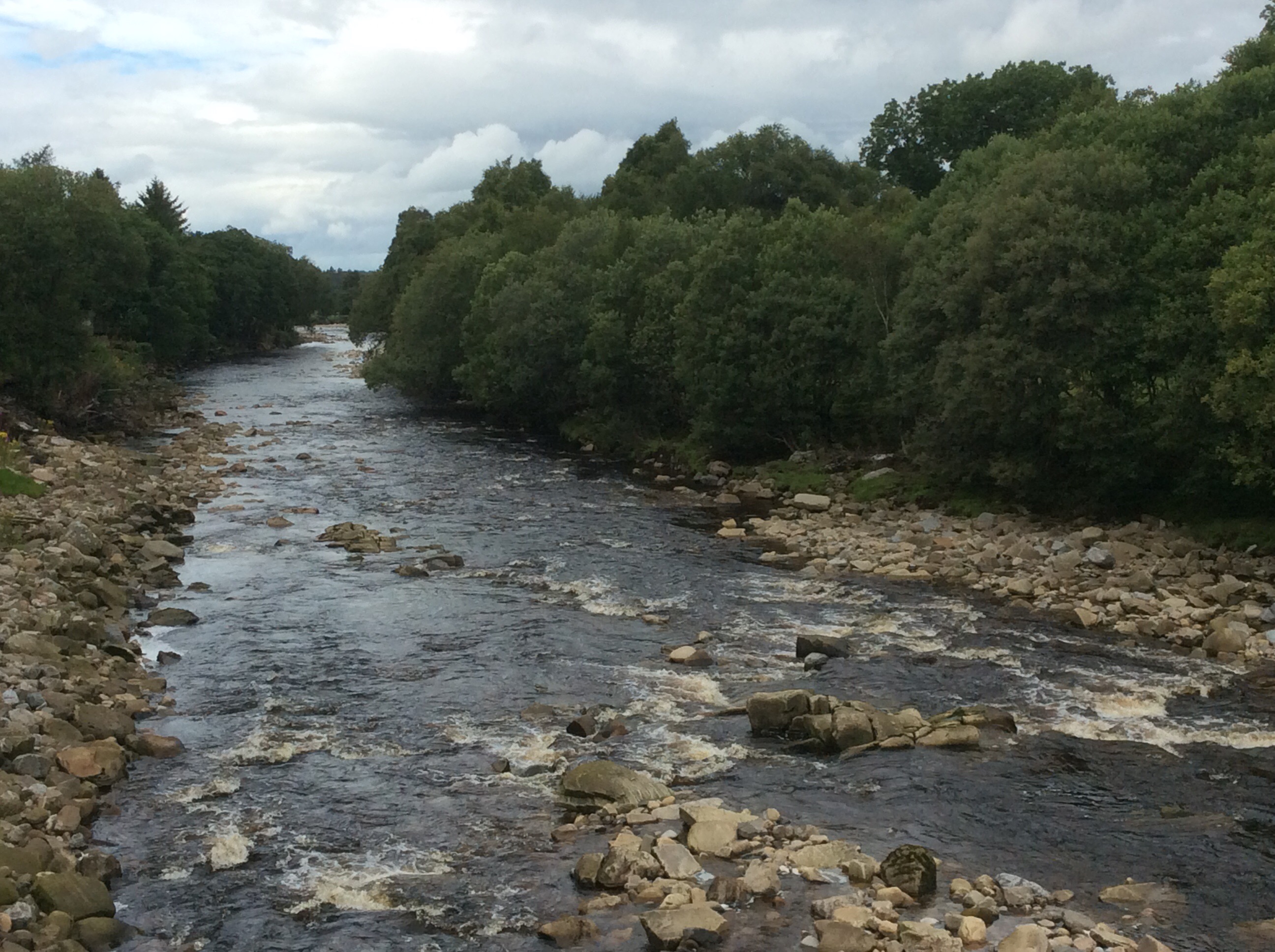
My feet were soaked from the usual dunking in peat bogs early on in the walk and were blistering quite badly by now. The last three miles of this 17 mile door to door walk were excruciating and I hobbled into Alston station like a geriatric wasterd.
Tonight was a B&B called Highfield, run by Celia and Catherine. Celia is the elderly matriarch who was a member of the Northumberland Climbing Club and met her husband there. His ice axe is mounted on the wall. Serious climbers. Now she is a lovely old lady who greeted me with tea and warm scones. Delightful. I showered and hobbled down to the Victoria Inn, where the chefs are two Muslim Bangladeshi lads, had a couple of beers and a Special Jal Frezi. One of the best curries I’ve had in my life. These lads come up to Alston every day from Newcastle to cook in the Victoria and go back each night. Dressed in their normal Bangladeshi gear they look incongruous in Alston but everyone in the village loves them. England is…… alive and well and living in the South Tyne valley. I limped so badly back to the B&B that a motorist who was driving in the opposite direction stopped and gave me a lift. England is………
Night night.

