Phakding to Namche – The Toughest Day
We had a long night’s sleep in Phakding, stoked by an early start yesterday, an exhilarating flight and a five hour walk up the Milk River valley. The weather was still warm this morning and the overnight rain had stopped. Today was going to be a hard day’s walking, particularly as the recent flood, which washed away much of the village of Thame, had also destroyed the riverside path. This meant climbing later up onto old donkey routes higher up the valley side. But the sun was out.
Our party of five started out as a party of four, as Bikram disappeared with Daniel’s rucksack. We passed a house later with exotic smoke drifting from it and Bikram toking on something which he hastily hid from us. Who would have thought that he was given to herbal tobacco?
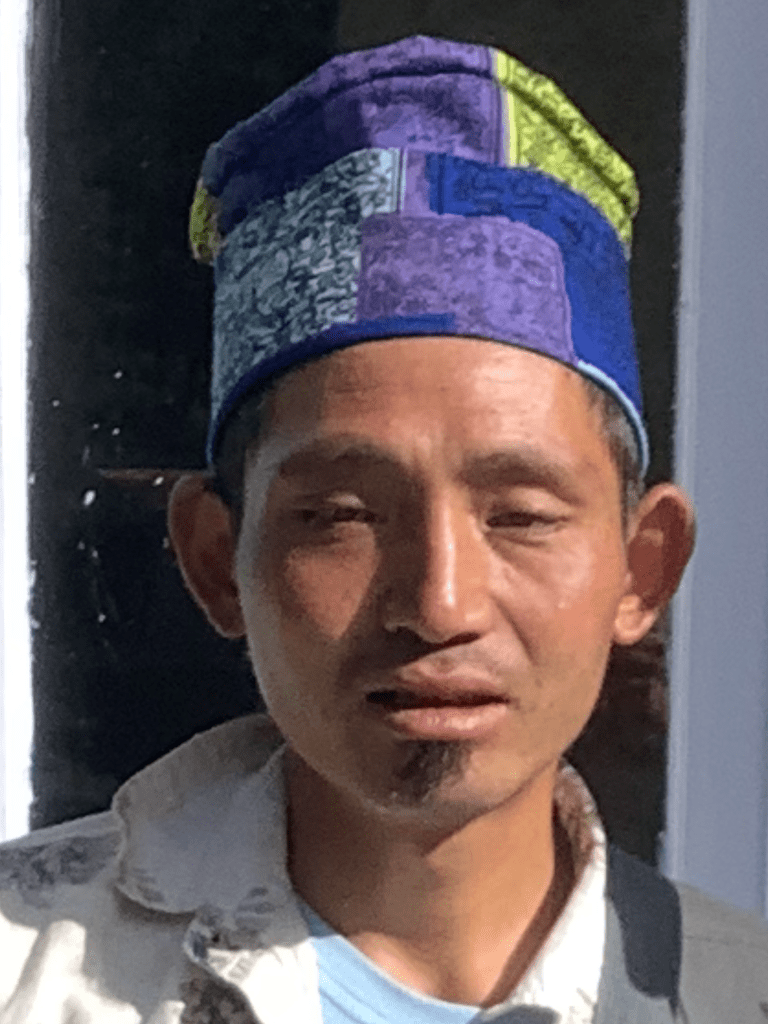
He looks like a young Shane MacGowan. A bit.

We made good time up the river track, which rollercoasters up and down the valley side. Crossing over a few swinging bridges, which never seem as if they will remain intact when you’re wobbling across them. And the raging waters below pose a scary landing zone.
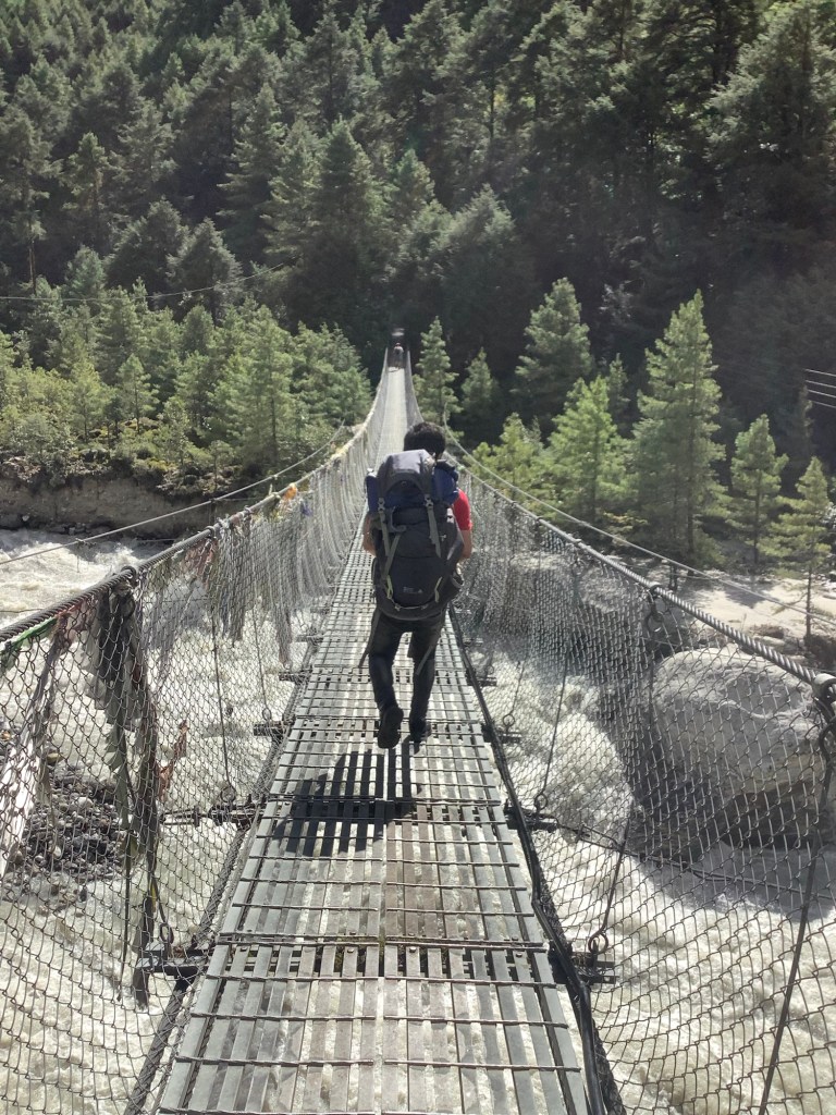
Droves of loaded donkeys cross these bridges, so they need to be strong. The burst glacial lake which took out Thame also damaged villages on this stretch of the river. Here a complete house and garden disappeared into the flood. Carried away by global warming.
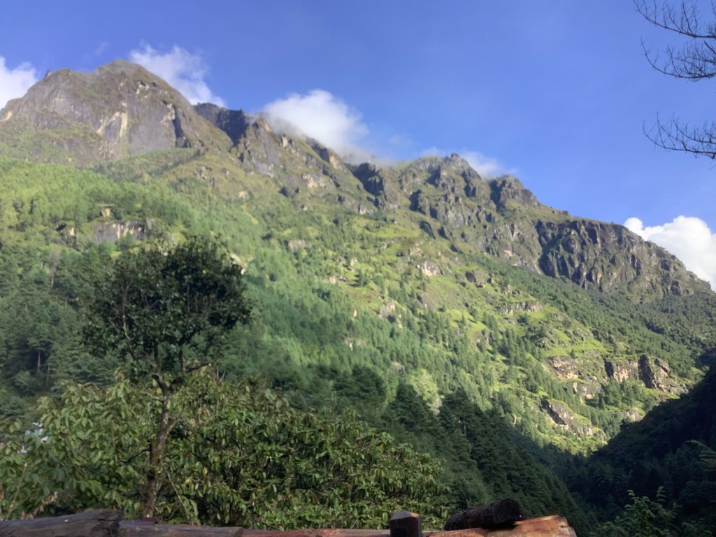
The gorge was getting deeper and more gorgeous!
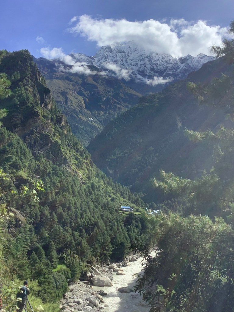
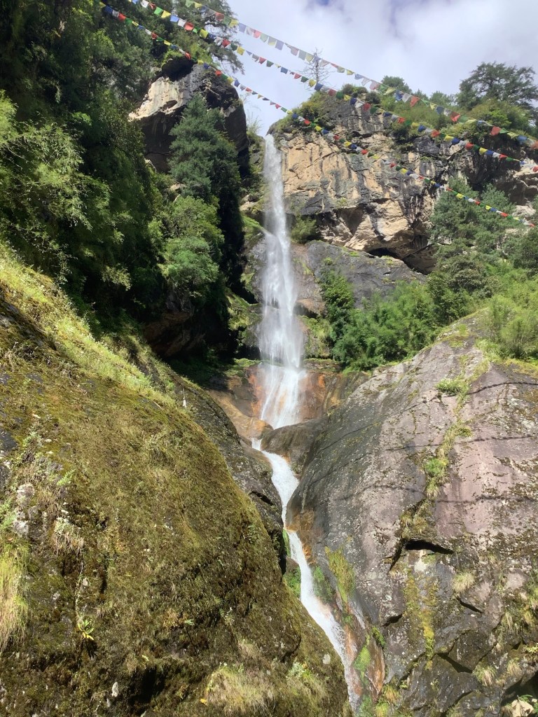
Waterfalls spring out of the hillside high above.
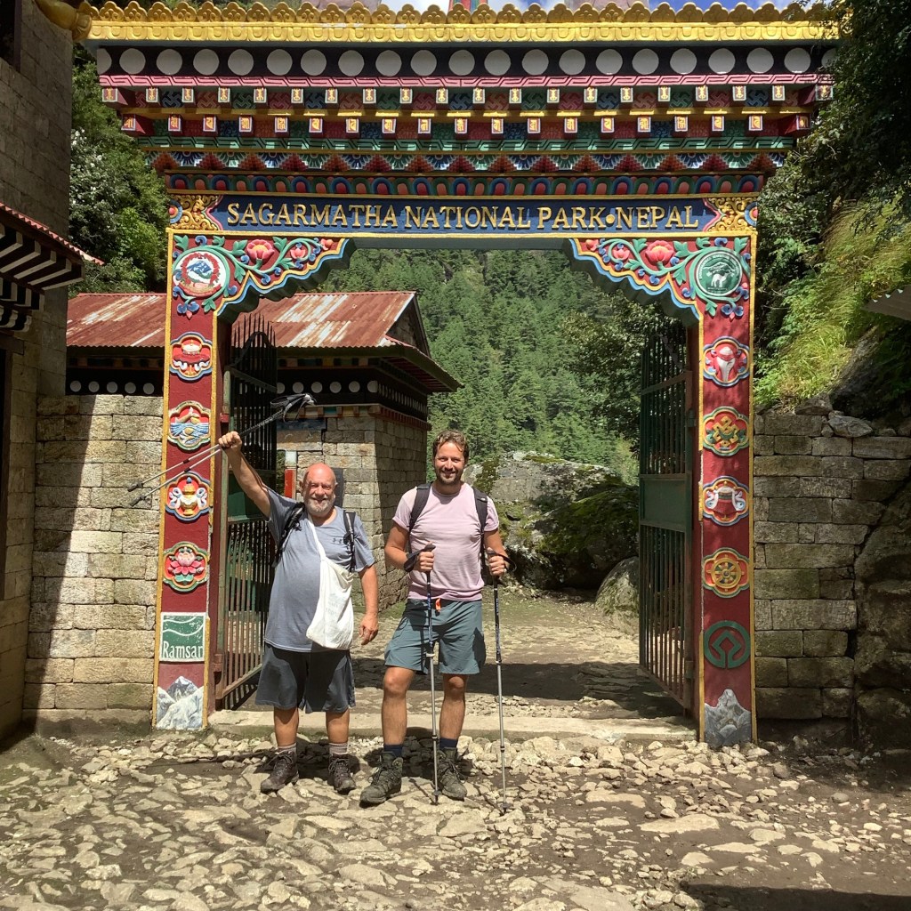
And manly men pose for photos to advertise the National Park.
Having climbed high we dropped down again towards the tea house where we would eat lunch.
We are in the region where, five hundred years ago, the Sherpas left Tibet and came over the mountain passes to seek sanctuary and a peaceful existence. They brought over their Buddhist religion and there are piles of these ancient tablets by the wayside.

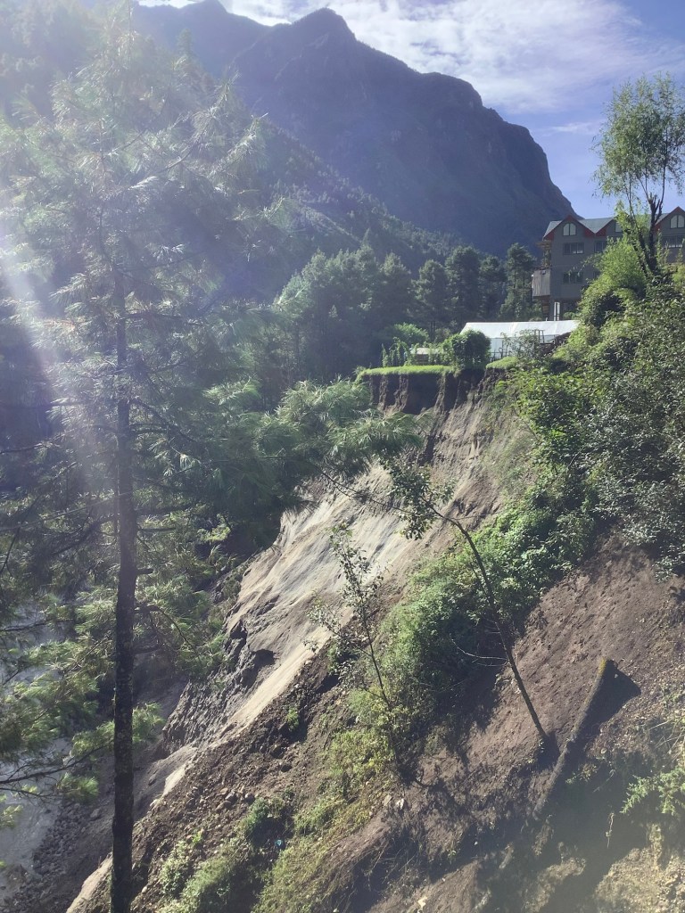
The route along the riverside was blocked by piles of spiky branches, indicating the start of the damaged path.

We headed uphill and joined the donkeys on the high route. With no roads at all in this region the only way to service the villages is by donkeys, people or helicopters carrying goods.

I was foolish enough to take on a challenge from Nir. I ate two extremely hot peppercorns taken from a tree at the side of the path. I made it to a nearby farm where the lady gave me sugar and butter to dim the pain. I thought I was going to faint. Dan caught my pain on camera. Bastard!
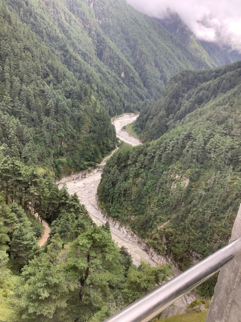
After hours of difficult path we came to the parting of the rivers, and a high bridge taking us over the right hand river, which starts high up on the Everest range. This is a test of nerve, but facing a two day walk back to Lukla and three flights home you don’t really have much choice.
Looking downstream the view was great. We had come up the valley high on the hill to the left. Immediately in front of this vantage point the two rivers join and flow down away from where we were standing. In two days we will be following the river that comes in from the right on this photo, the westerly river.
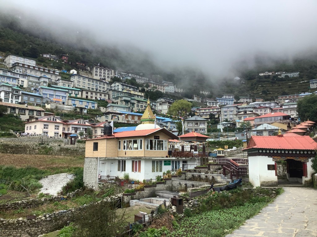
Now the climbing really started. It is a steep route through the forest to Namche Bazar. It took the best part of two hours to climb this remaining 1300 feet. The shortage of oxygen is beginning to hurt. But suddenly this large village, built largely to service trekkers and mountaineers, emerged in front of us, cradled in a bowl in the mountain. The only physical link to the outside world being a small helipad and the footpath that we had walked up on.
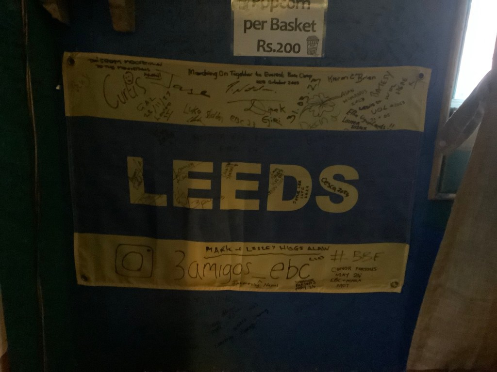
We had beaten the rain. Dinner and the highest Irish bar in the world kept us fed and watered. And bloody Leeds fans had got here first.
Night night.

Shane McGowan and peppercorns! Nearly peed my pants lol. You are a Superhero Smiffy! XxSent from my Galaxy