Back to Bowes and Ribbons of Rain – third blog today
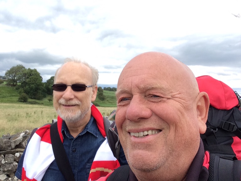
Blades won, nice early weekend with my old lass, great meal of slow oven stewed Ox cheek. Then I set off from Leeds at 9.40am to Darlington again. My old mate Chip was joining me for three days walking and camping. I met him there and we had a breakfast at Weatherspoons before getting the bus to Barnard Castle and a taxi the four miles to Bowes, where I left off on Thursday. Our spirits were high and despite the wind the weather was dry.
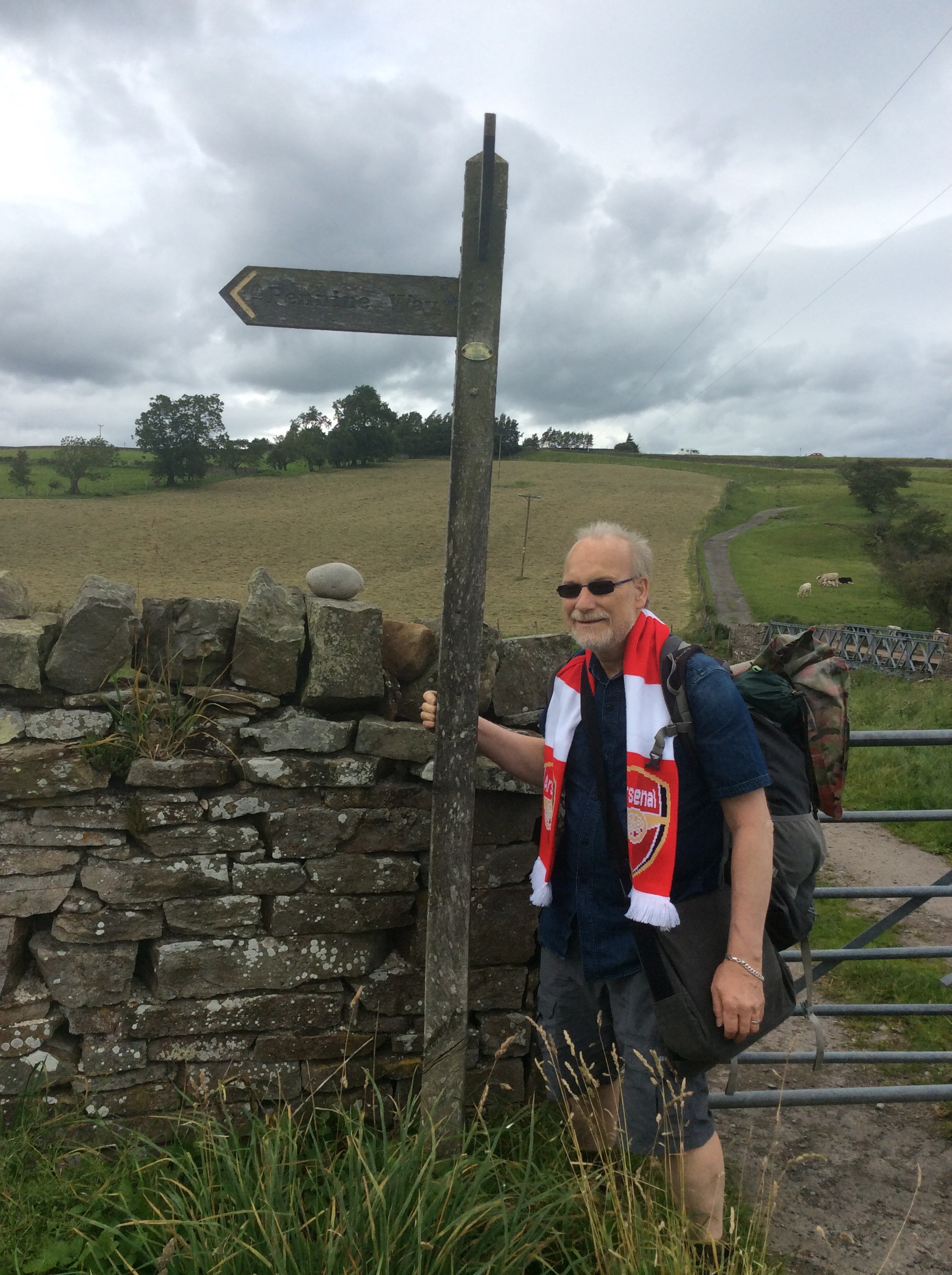
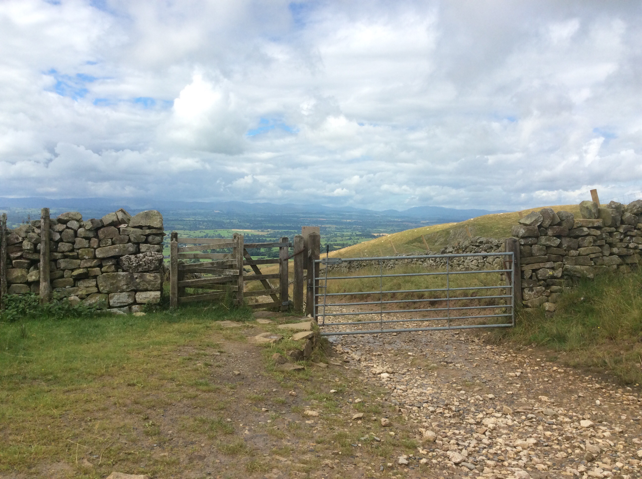
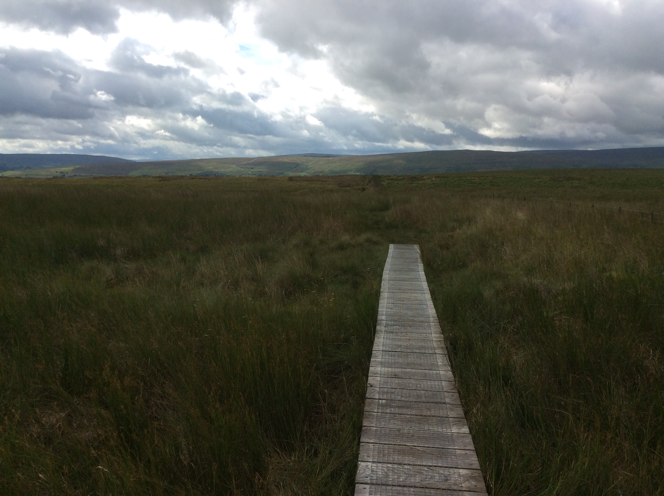
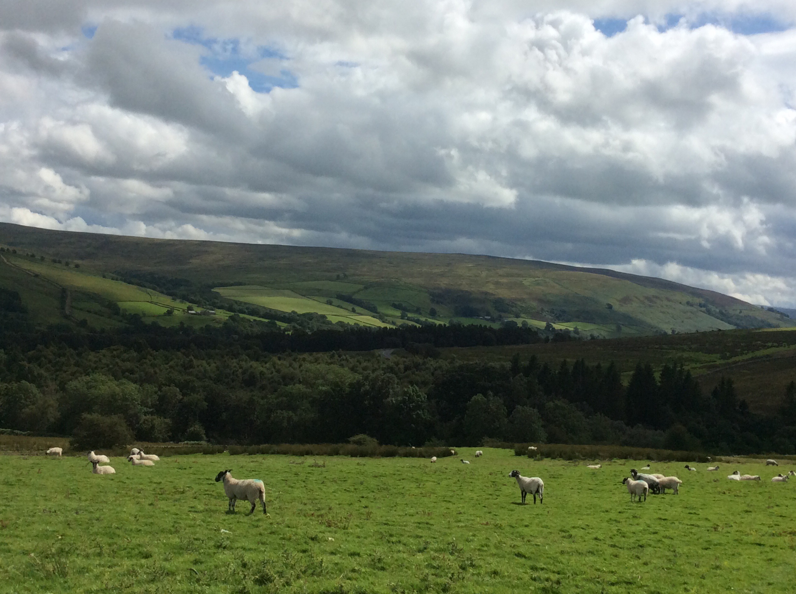
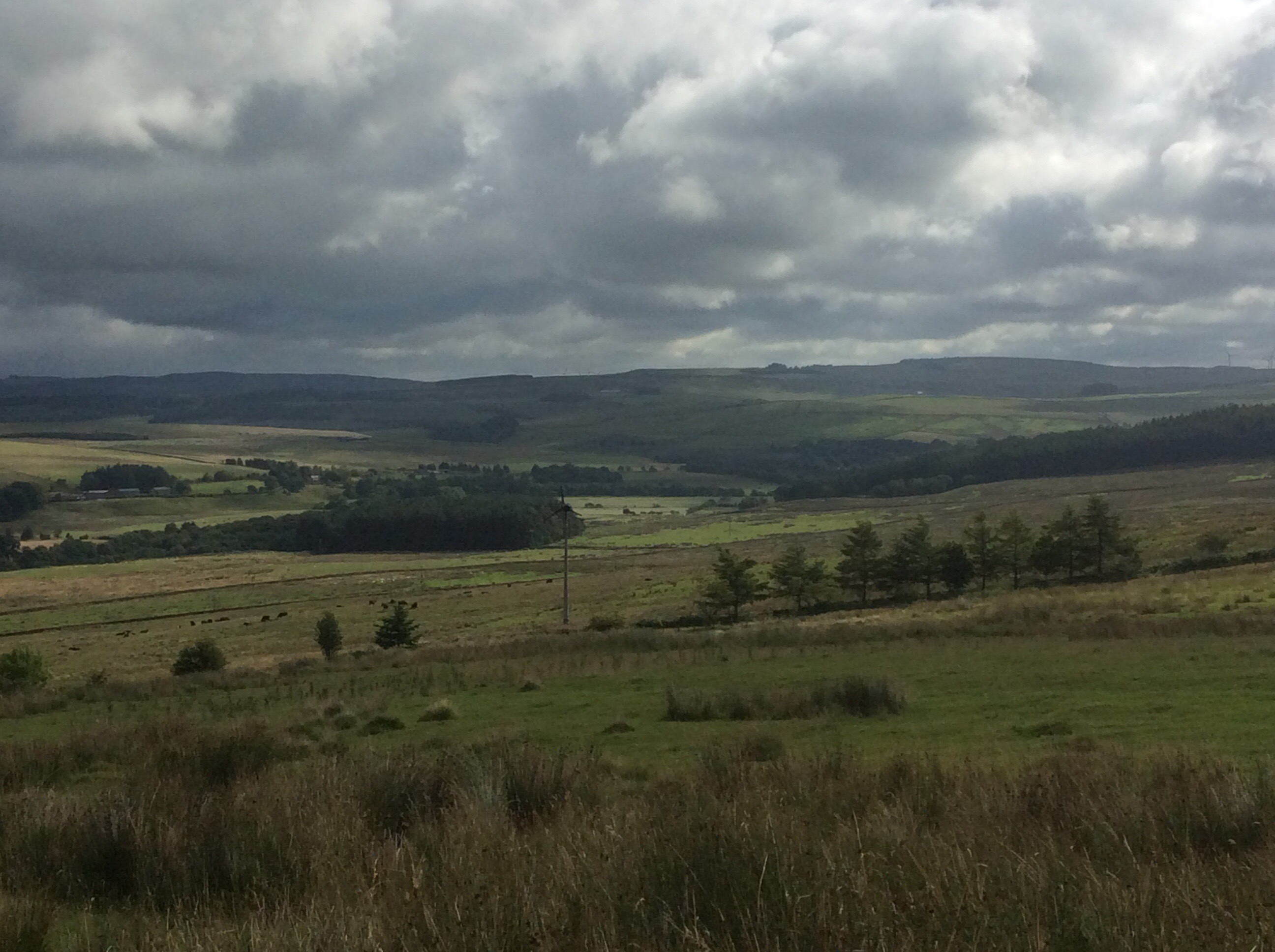
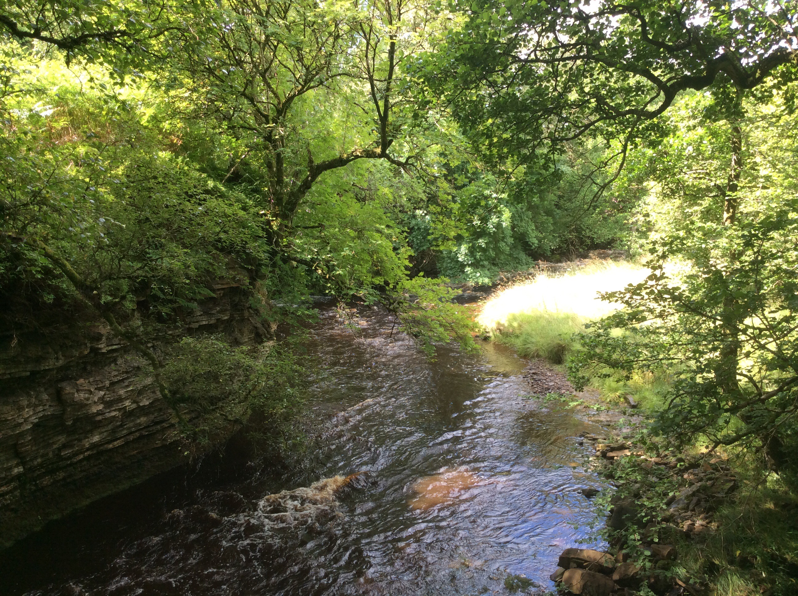
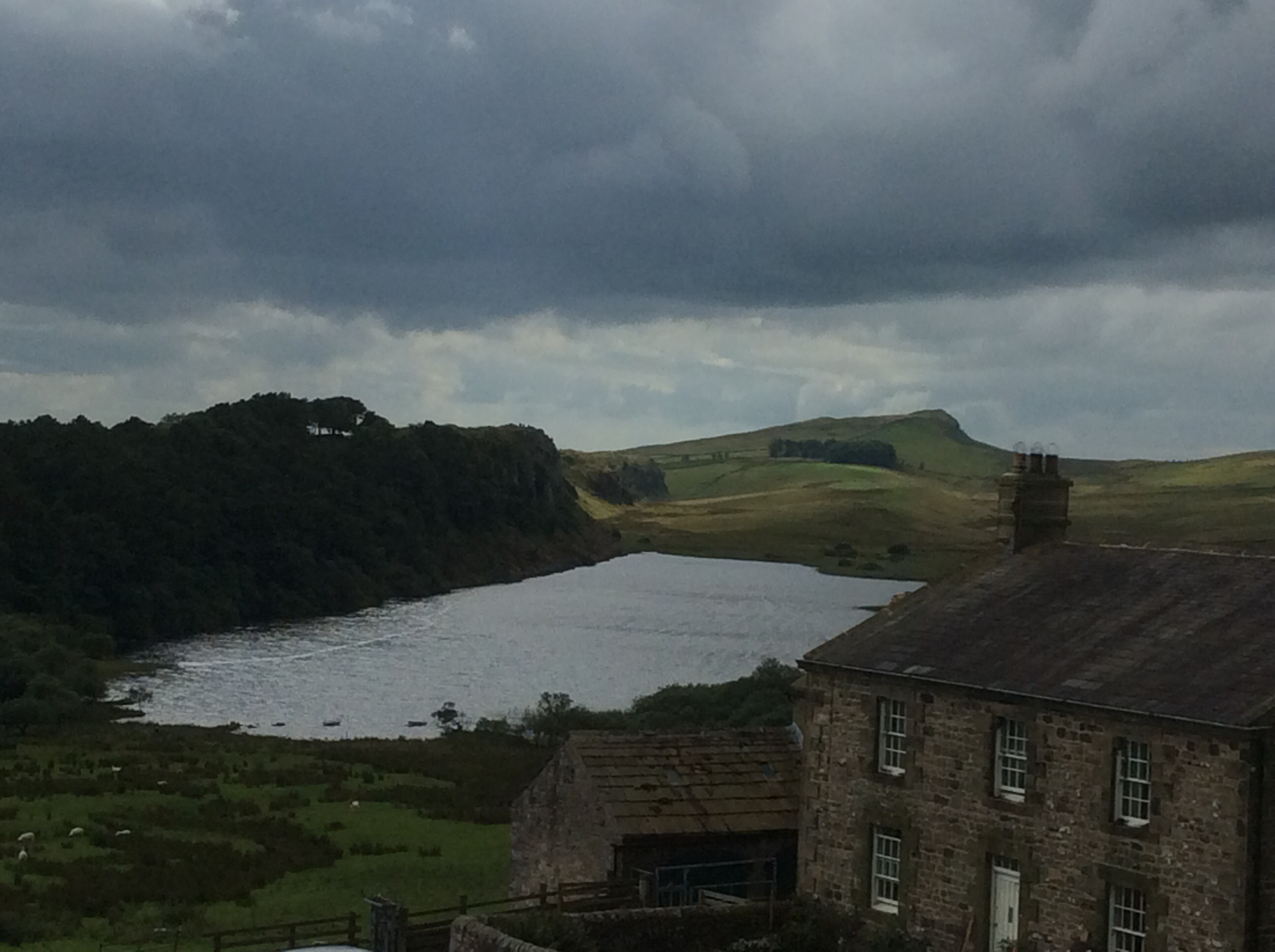
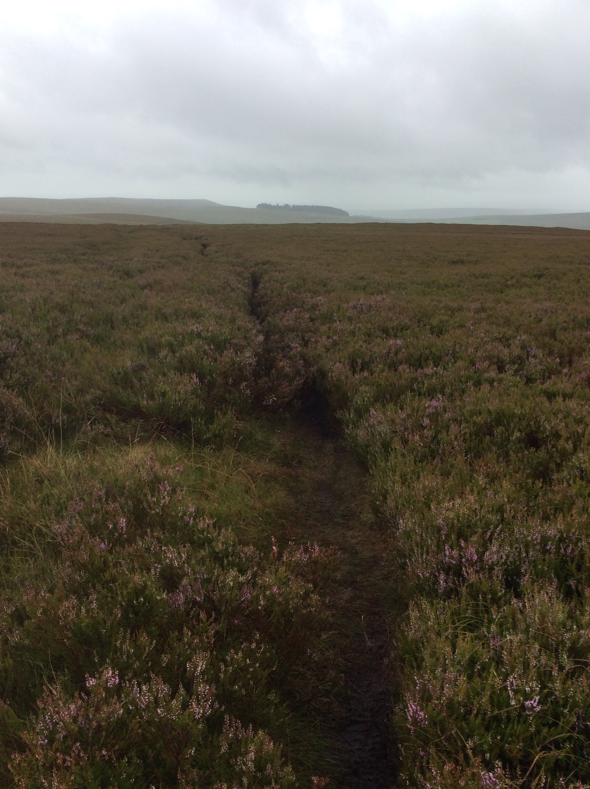
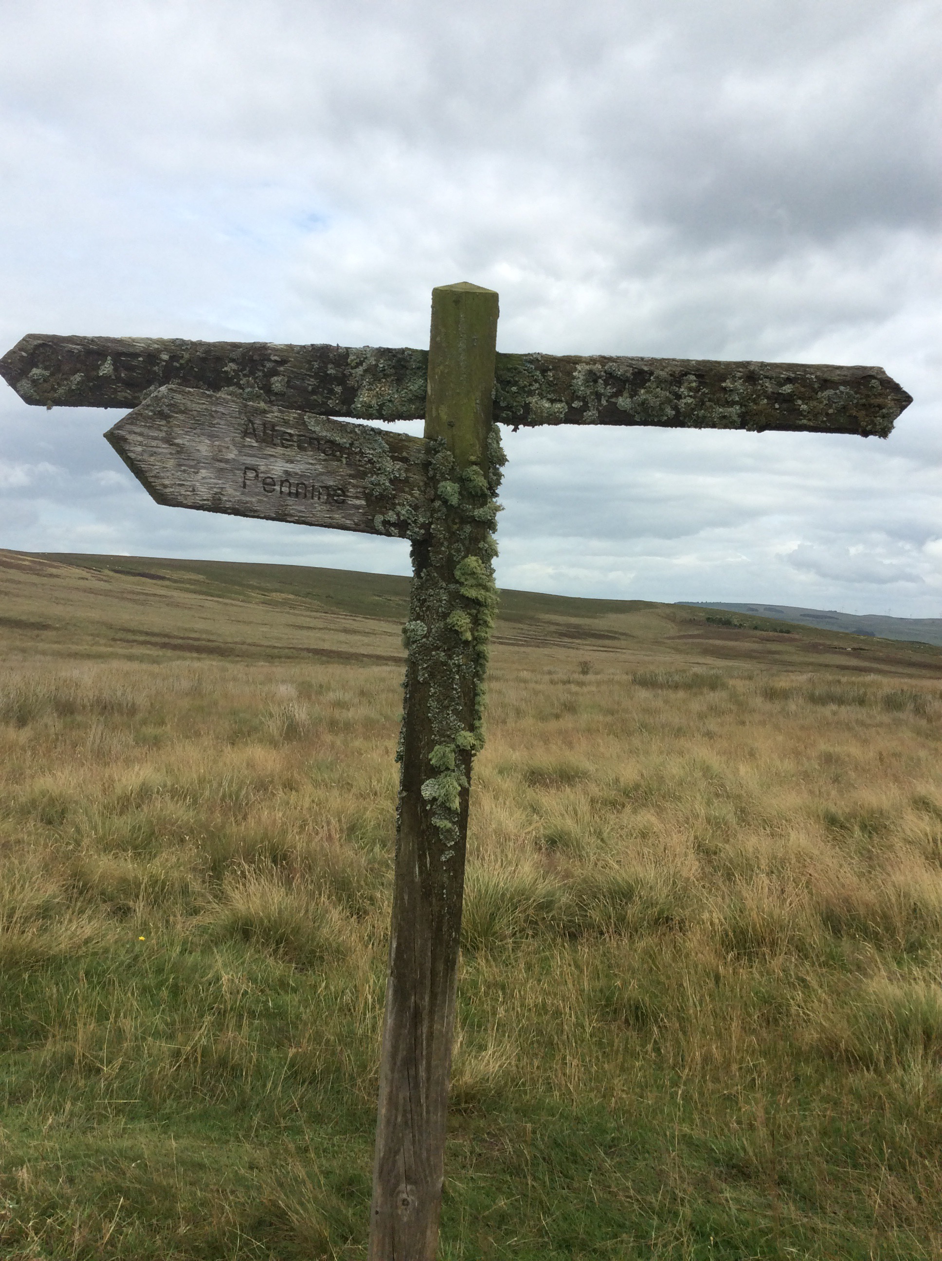
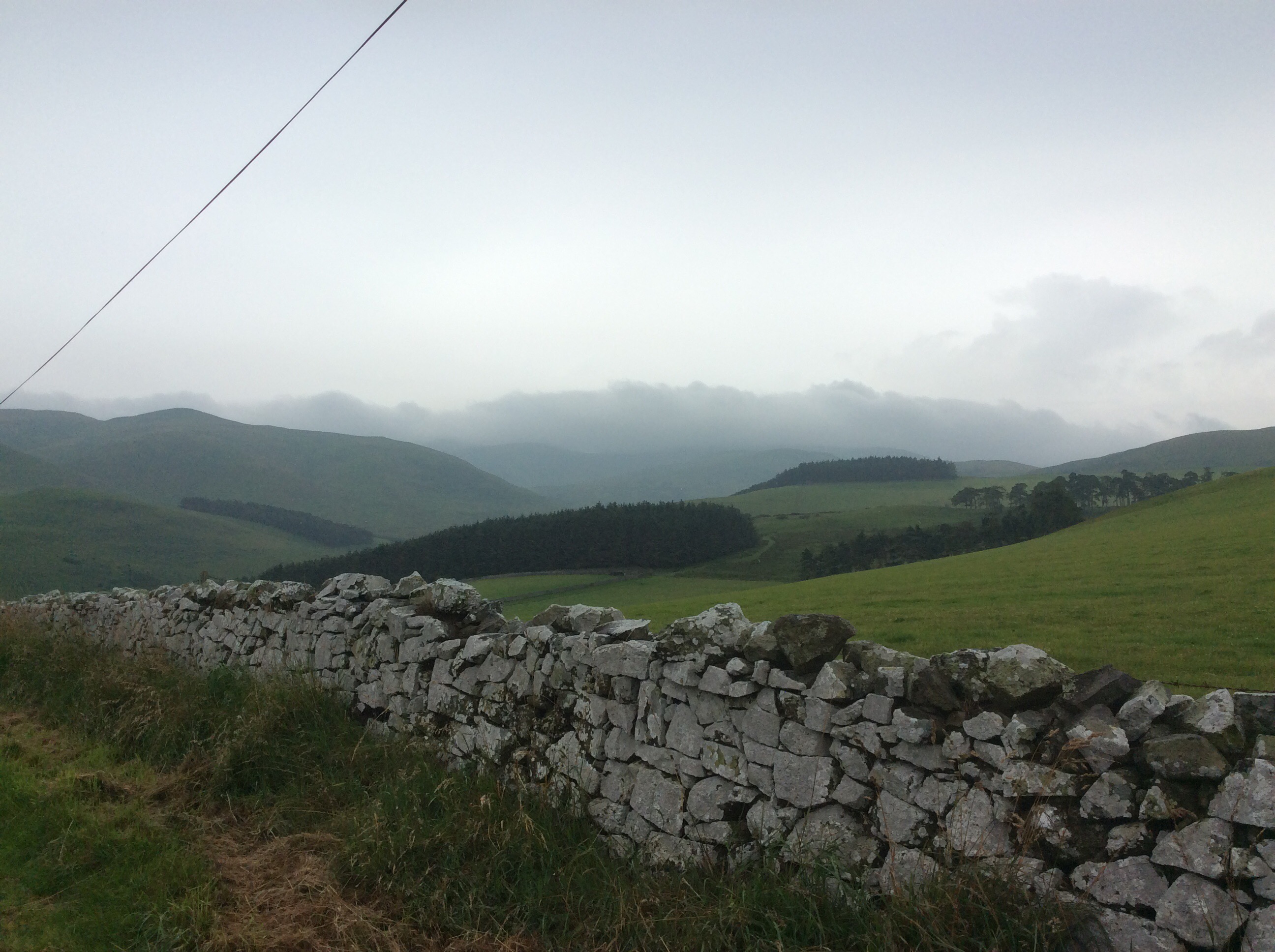
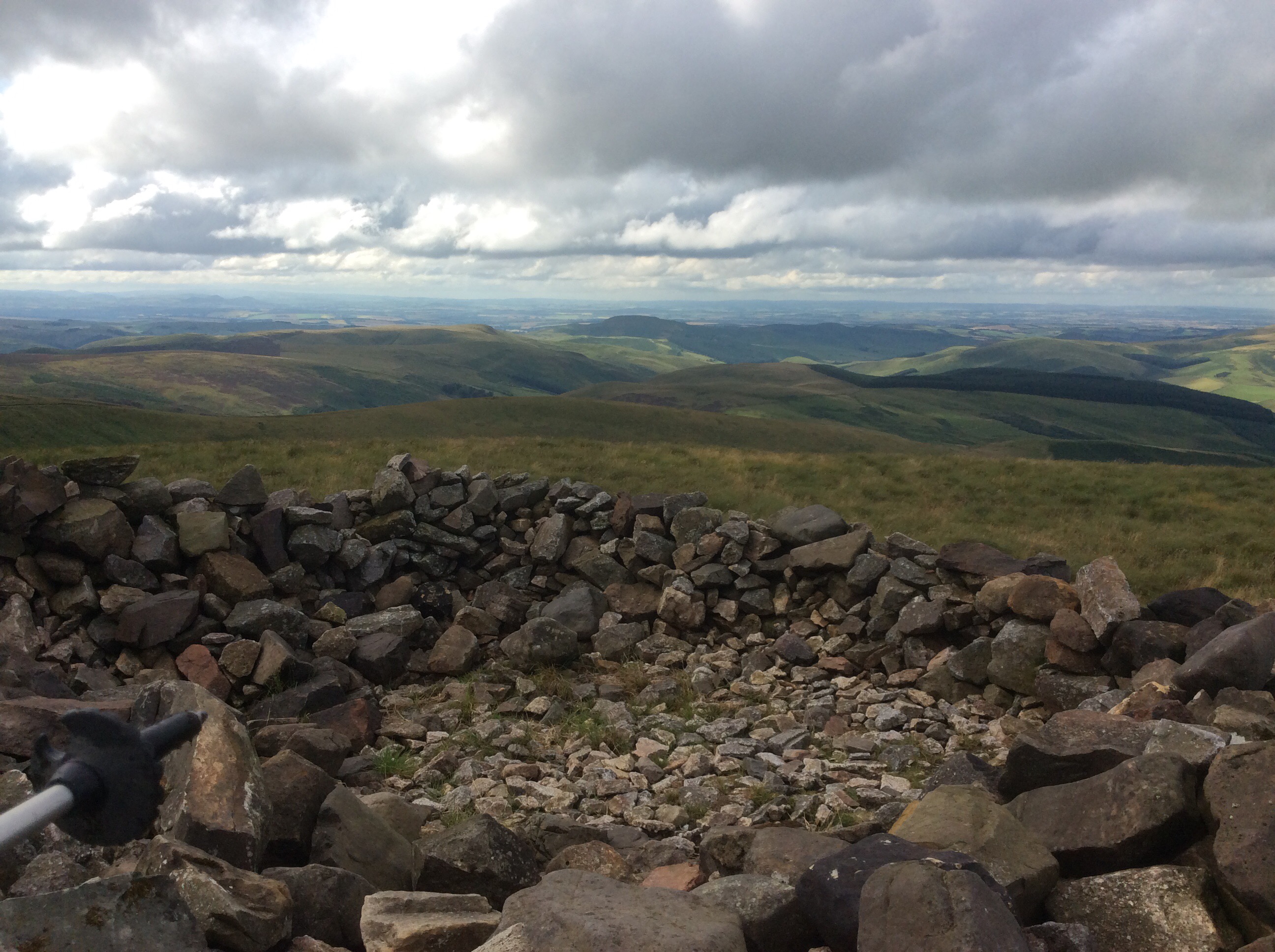
The Pennine Way splits, with one leg taking in Bowes before rejoining the main path. The Bowes Loop rises uphill southward to link in with the main path en route to Tan Hill. Our afternoon stretch would take us 11 miles to the Tan Hill Inn, where we would pitch our tents this evening. It’s a pleasant walk and we linked up in good time with the main path.
As we climbed higher the wind picked up. The Tan Hill Inn is the highest pub in the British Isles, at over 1700 feet, so weather is an issue there. But the views are good going up.
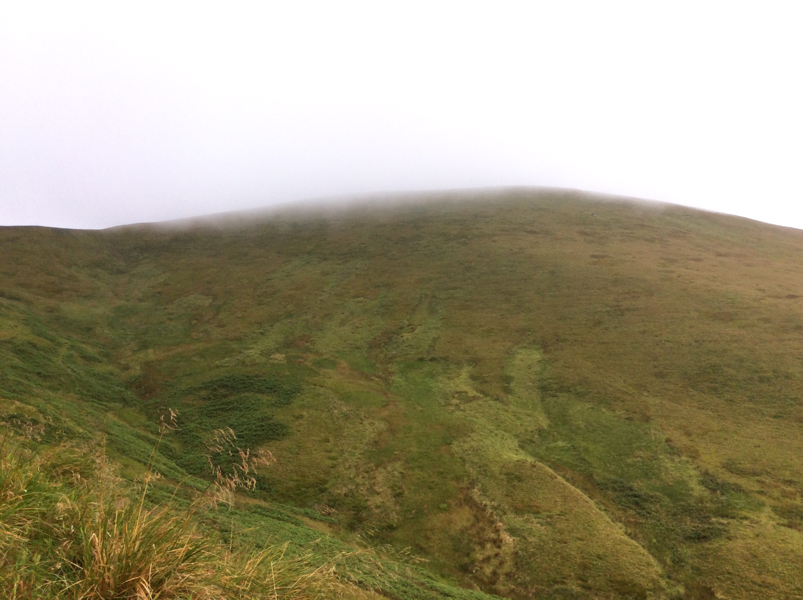
Chip was doing well, despite his long period of sickness, although he is a determined old get anyway. And then the wind picked up, and it turned cold, and the rain started slowly at first and ended in a downpour. The path began to get boggy, and then became very boggy, and finally became almost impassable. Chip kept going. Not reyt fast but still going.
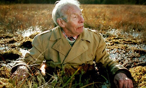
We decided to cut across for the last few hundred yards from a massive liquid bog area to a road that had appeared to our left. Getting there Chip slipped into a boggy ditch and pitched backwards with the rucksack on his back. He was stuck and I didn’t get a picture. Bugger! But if I had done it would be like this.
I helped him up. After nearly six hours walking we made it to the Inn. The weather conditions were such that we couldn’t pitch a tent. No way at all. So we got a room and had a few beers and a meal and dried our soaking boots and gear on a radiator.
Tired out, early night, sleep tight.
Night night.
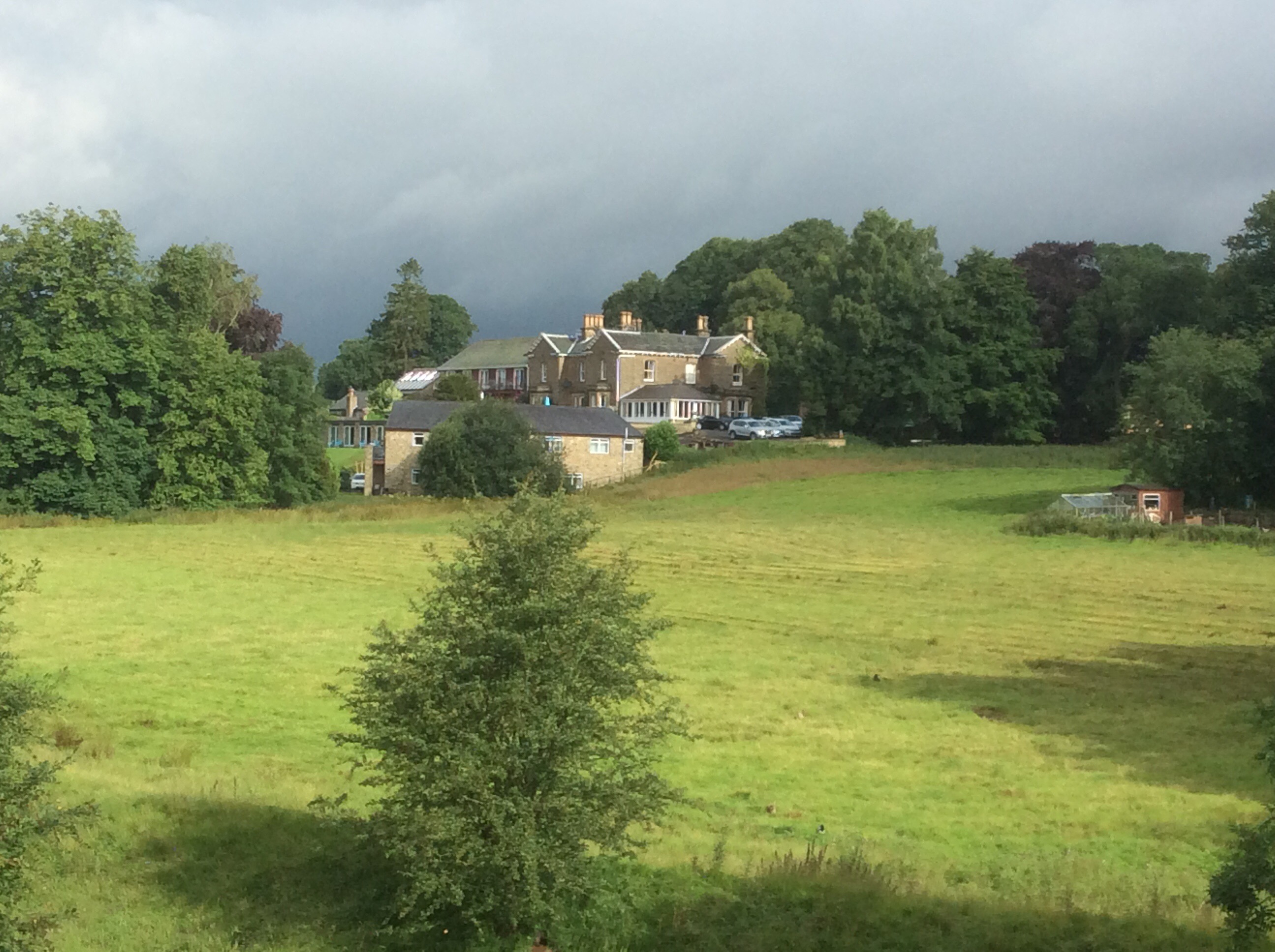
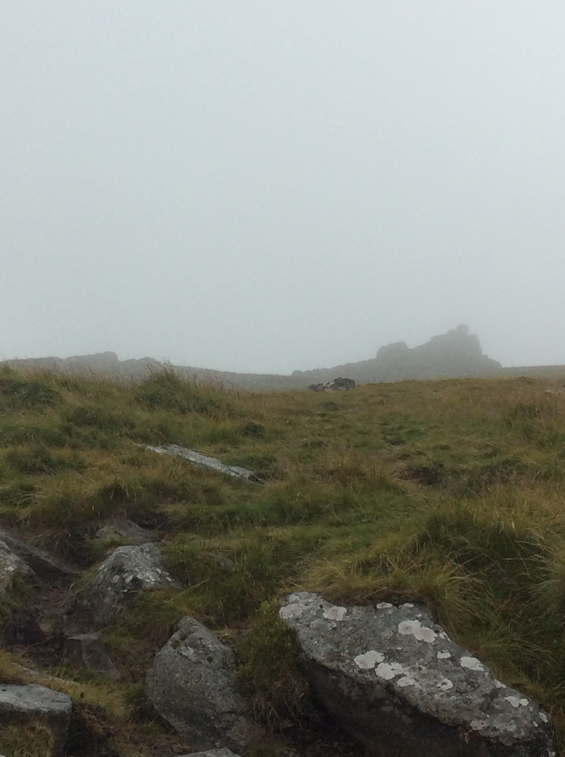
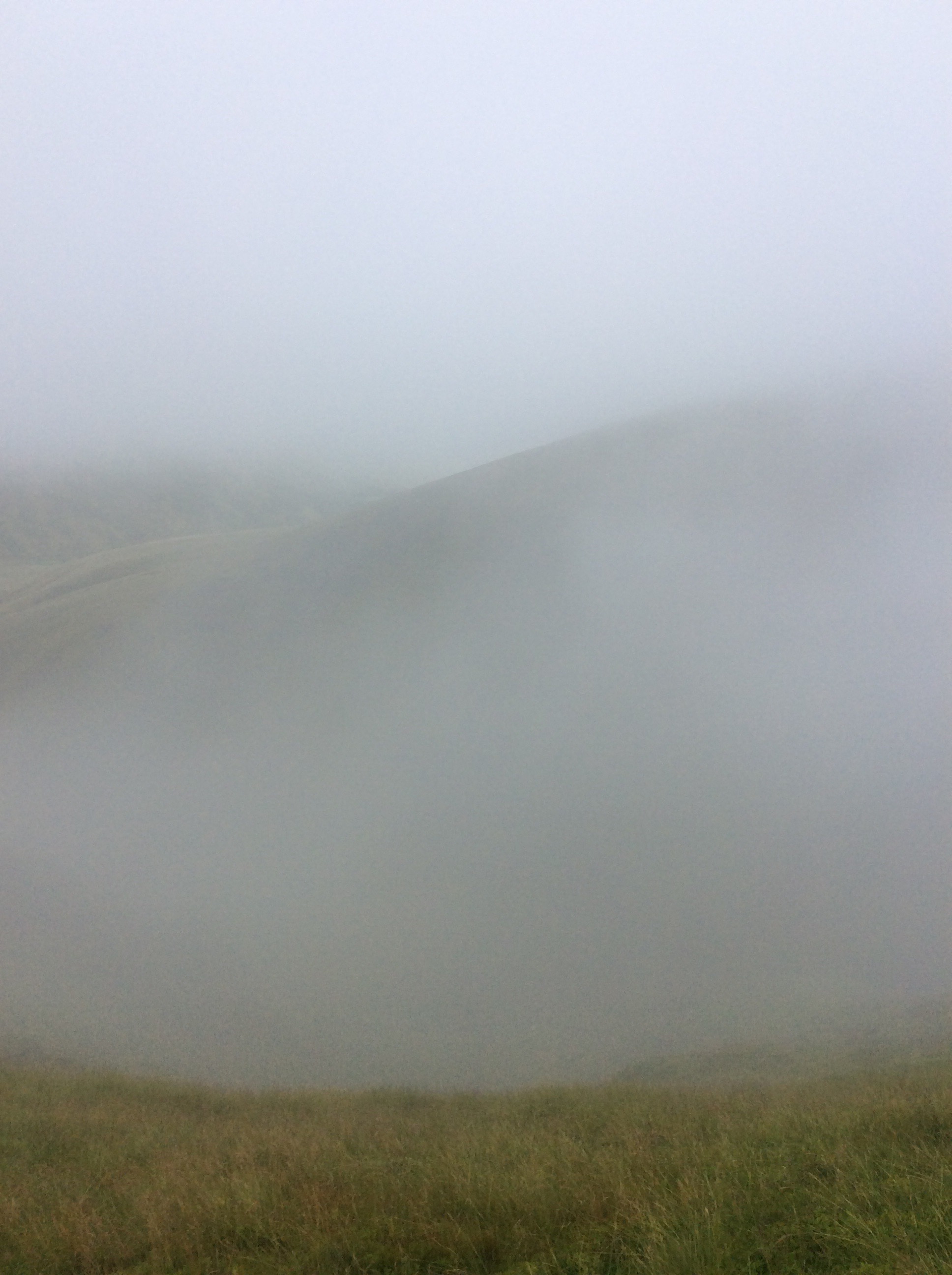
Onwards to Bowes and Home (second blog today)
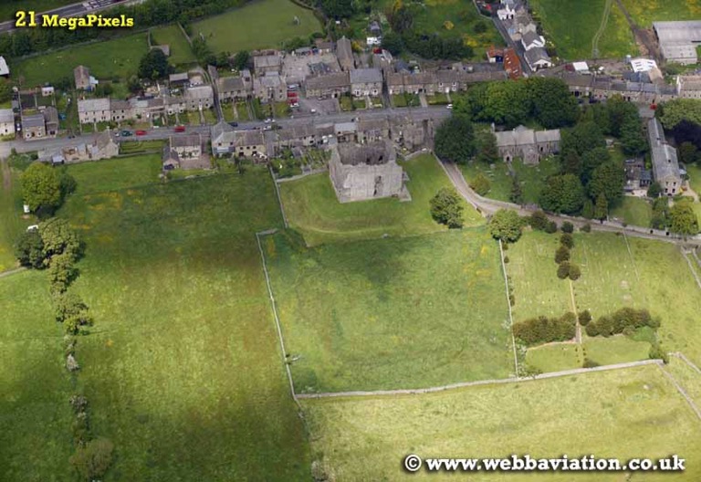
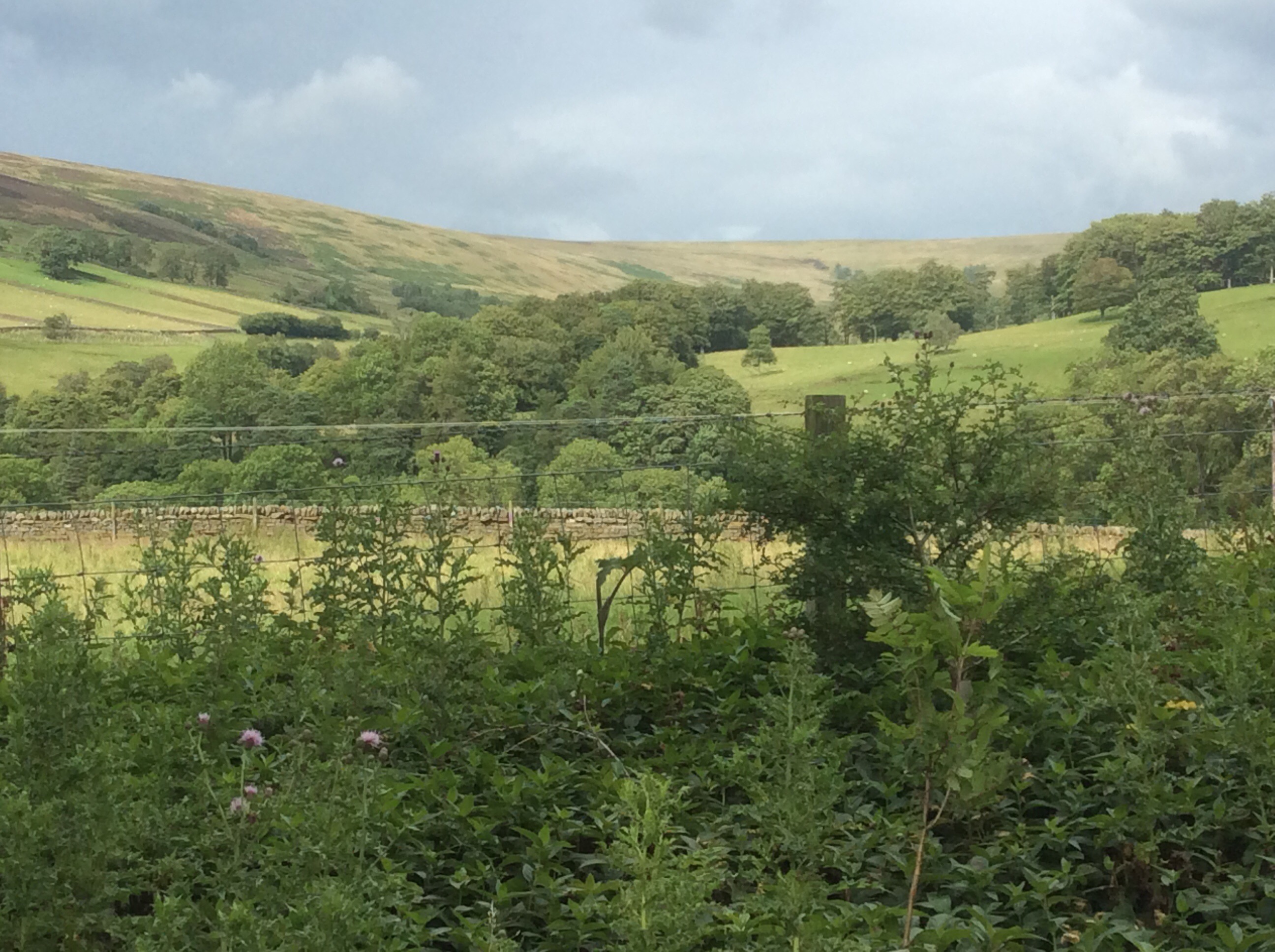
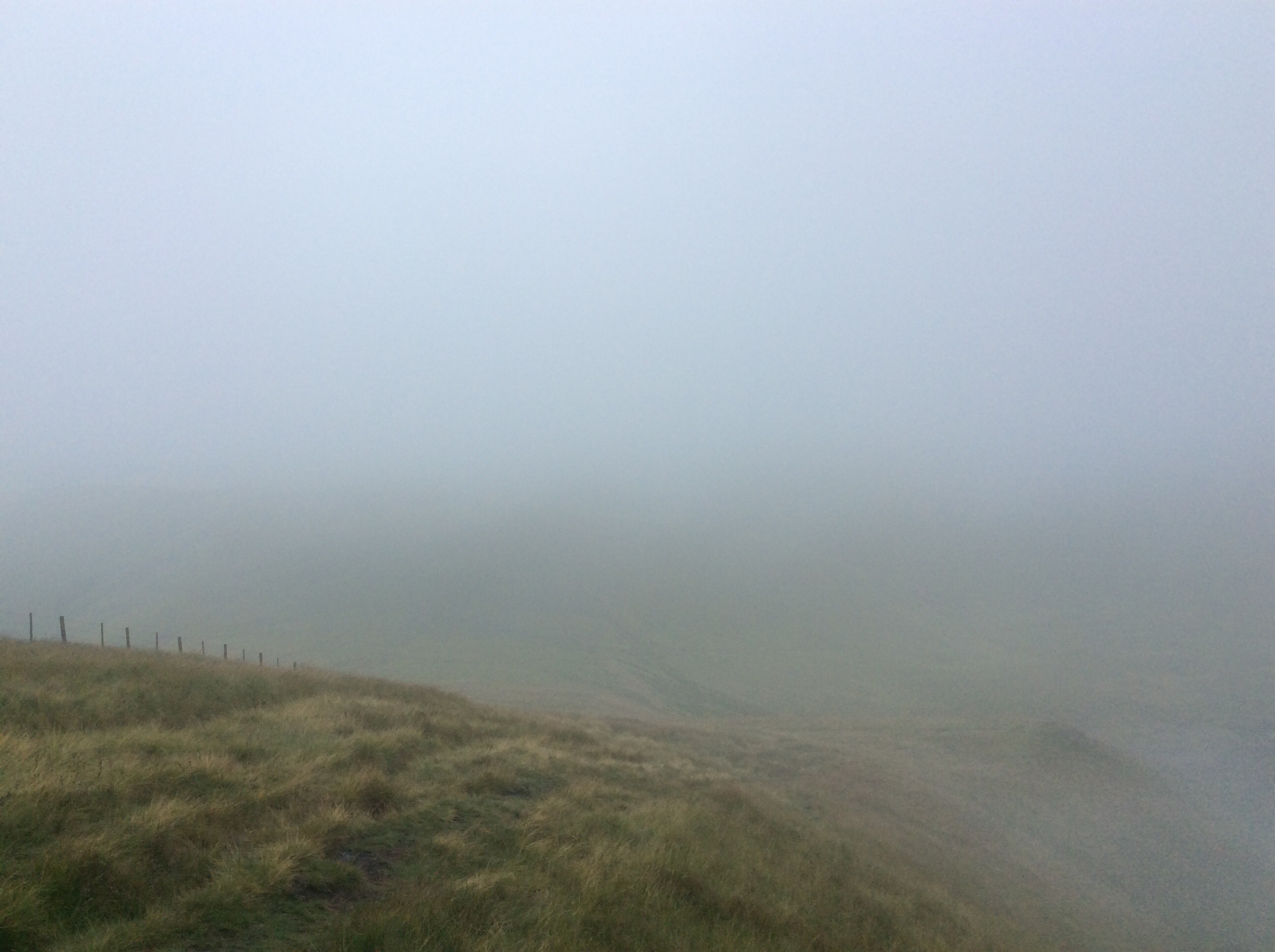
Sorry kids, all story no photos. I got up early, packed the tent in the rain and set off at 6.15am to walk the 11 miles to Bowes to get a bus to get a bus to get a train to get a lift with our old lass to get home. It rained heavily and continuously so I got my head in my hood and marched like a squaddy. If I could have been bothered to get the iPad out and photo Bowes it would have looked like this.
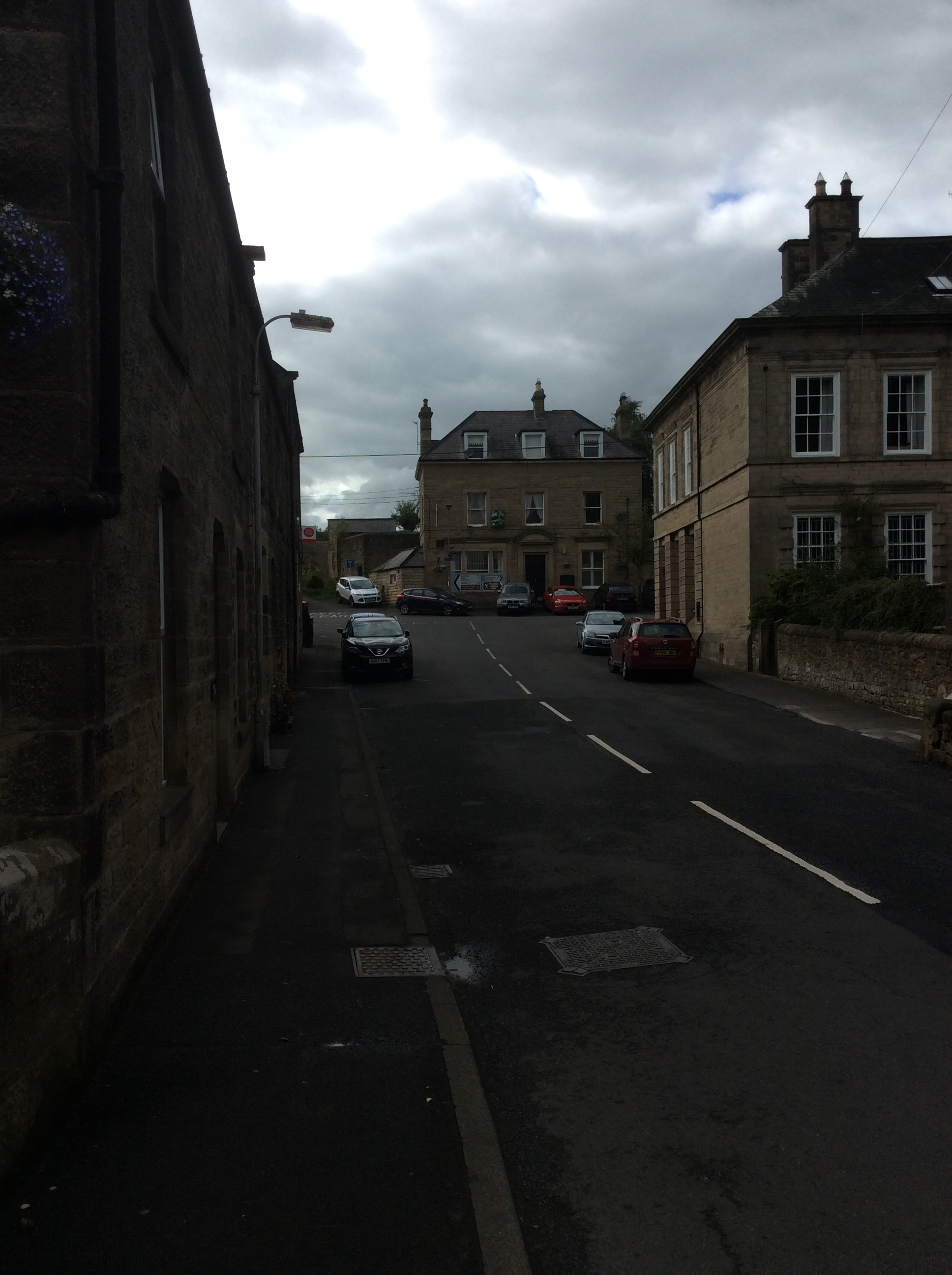
And Barnard Castle would have looked like this.

And Darlington would have looked like this.
I’m back home to watch the Blades, see my old lass and dry out, but not necessarily in that order. Back on Sunday to the Pennine Way, Bowes loop with my old mate Chippypoos. Well, Chip anyway. Blog you then. Bye babes!
Langdon Beck to Middleton on Tees – Shorter and Sweet
A good night’s sleep int hotel and I found a hairdryer to mostly dry my boots. My clothes were wet beyond redemption in a compressor bag. Today’s was a more leisurely walk down the valley 9 miles to Middleton on Tees. I filled up my stomach, and the various canals that surround it, at breakfast, with double black pudding. Gordon Bennett I was full. The first stage was a mile down the road then across a farm to the Way. It was dryish but the clouds were looking threatening.
The path rose up the West Bank but no Palestinians in sight. Netanyahu must have had them all shot. The river disappeared a while and then the path dropped down again.
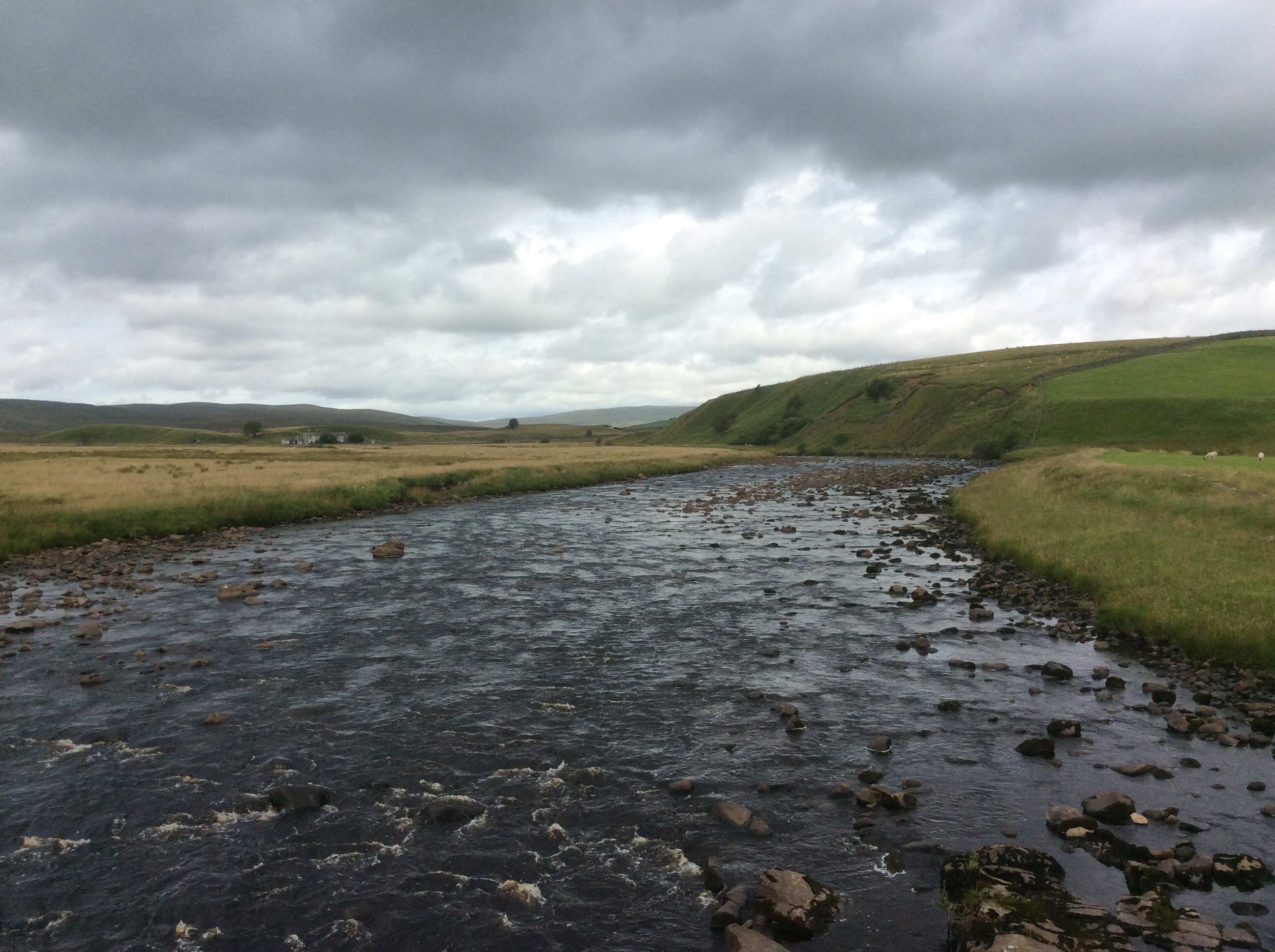
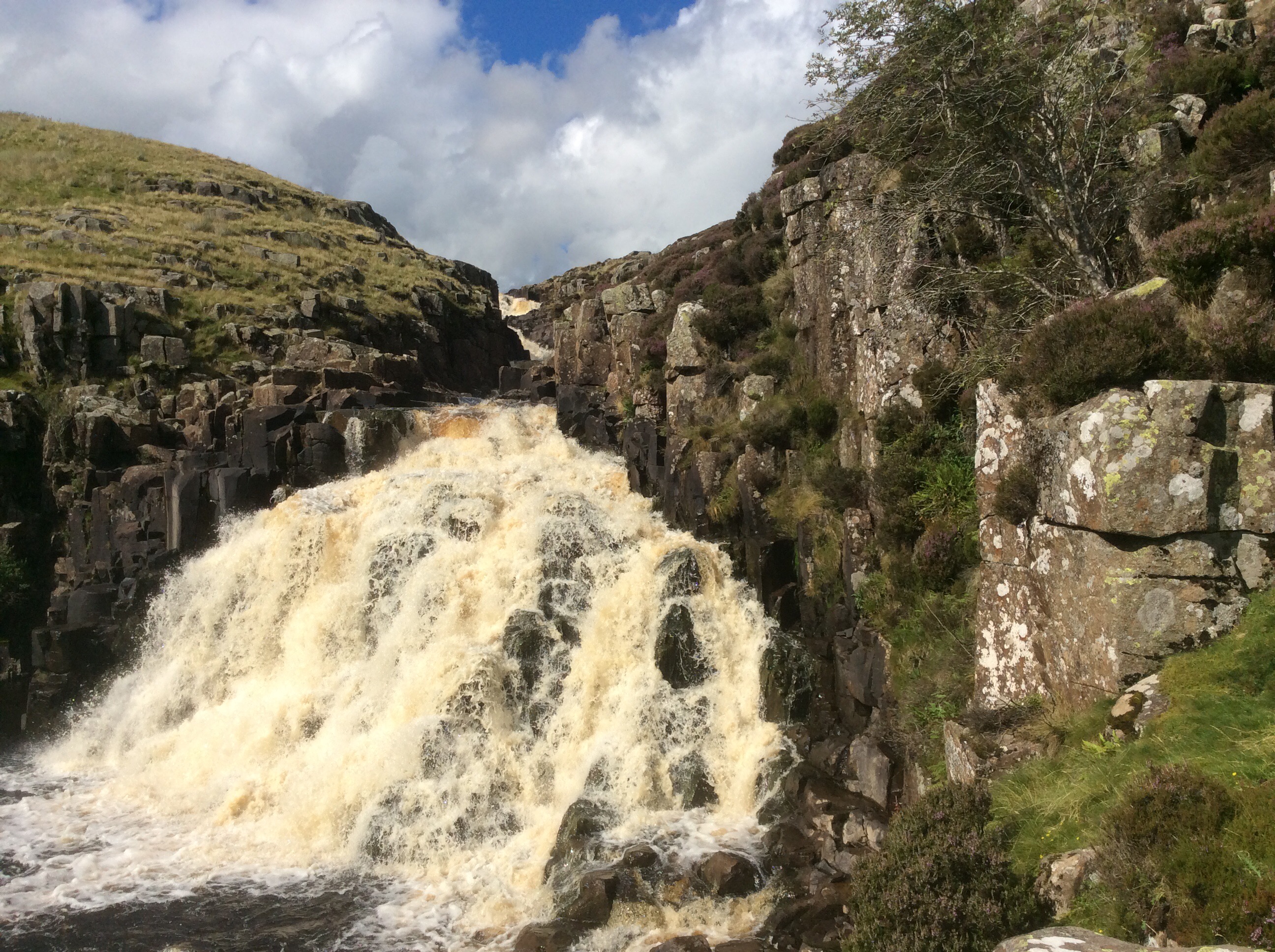
A few miles later and I was stood at the top of the High Force waterfall which roared in my ears.
The water was still brown and mucky, from the heavy rain on the peat bogs, as it fell over the cascade.
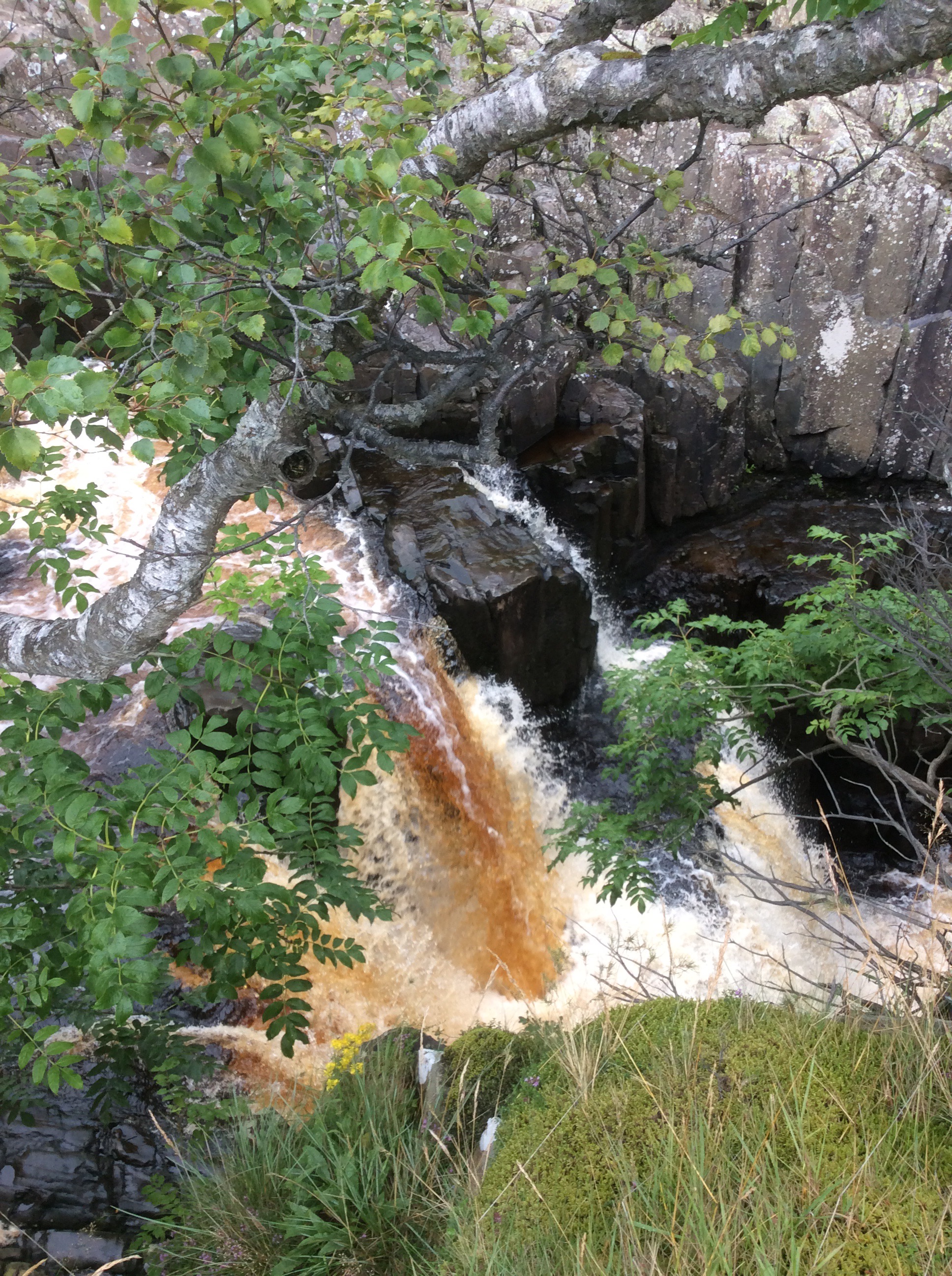
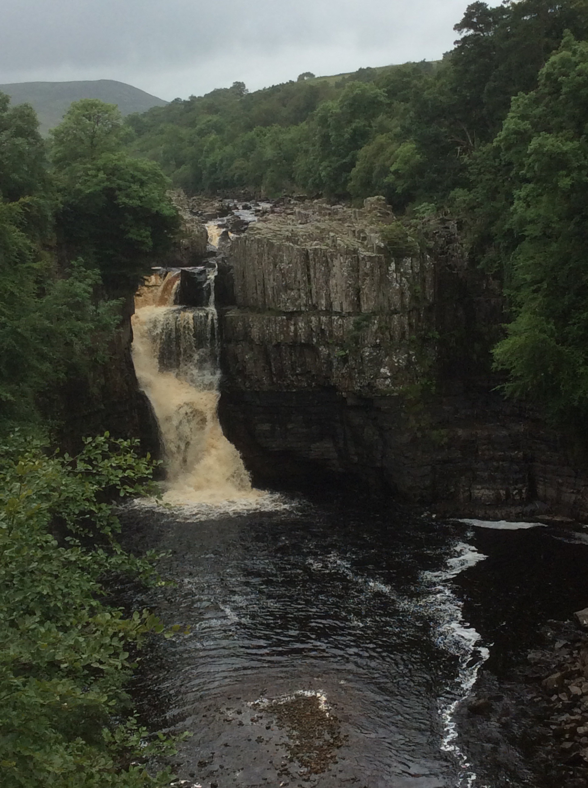
And from further down the valley the view back was awesome, well maybe not compared to the Niagara or Victoria Falls but for this green, pleasant and sceptred isle it was awesome. The biggest single drop in the U.K.
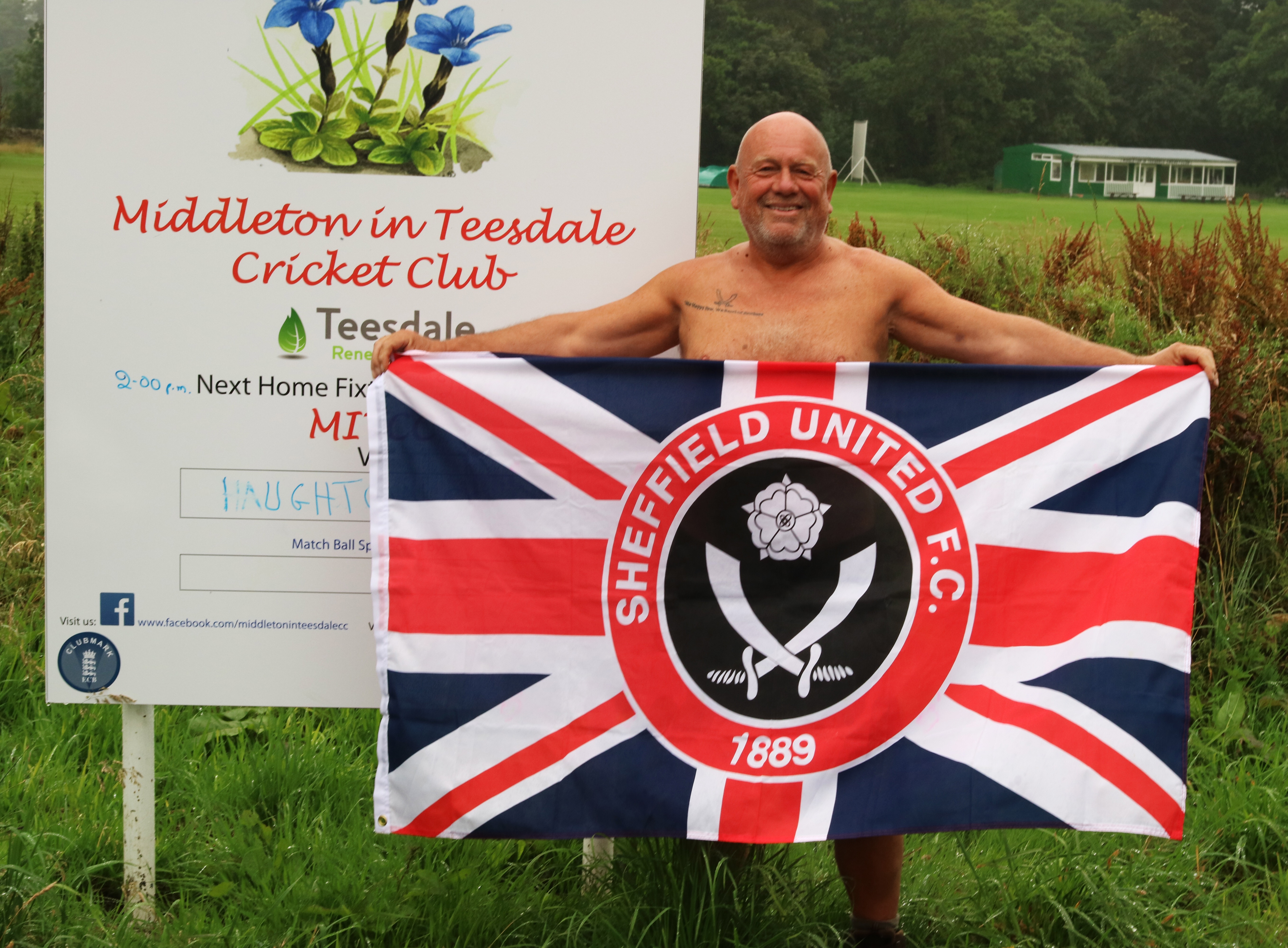
There were a few dozen tourists walking up and down the path, but again not many PW kiddies. I sped along and when the heavy rain started I was close to Middleton and pulled into a pub. The conversation at the bar for some reason turned to Sheffield United so I got my flag out. The locals said I must go next door and show it to the biggest Blades fan in the world. I packed up, went round and knocked on his door. When he came down the hall I got the flag out and sang the greasy chip butty song. He was quite surprised! He was trying to get tickets for him and his grandson for the Blades at Middlesbrough but didn’t have enough loyalty points. I gave him my SUFC log in and he used mine and Jet’s points to get the tickets. He was really pleased and insisted on taking a photo and sending it to me. I was naked.
Middleton was a nice village and the campsite was ok, but a way out of town.
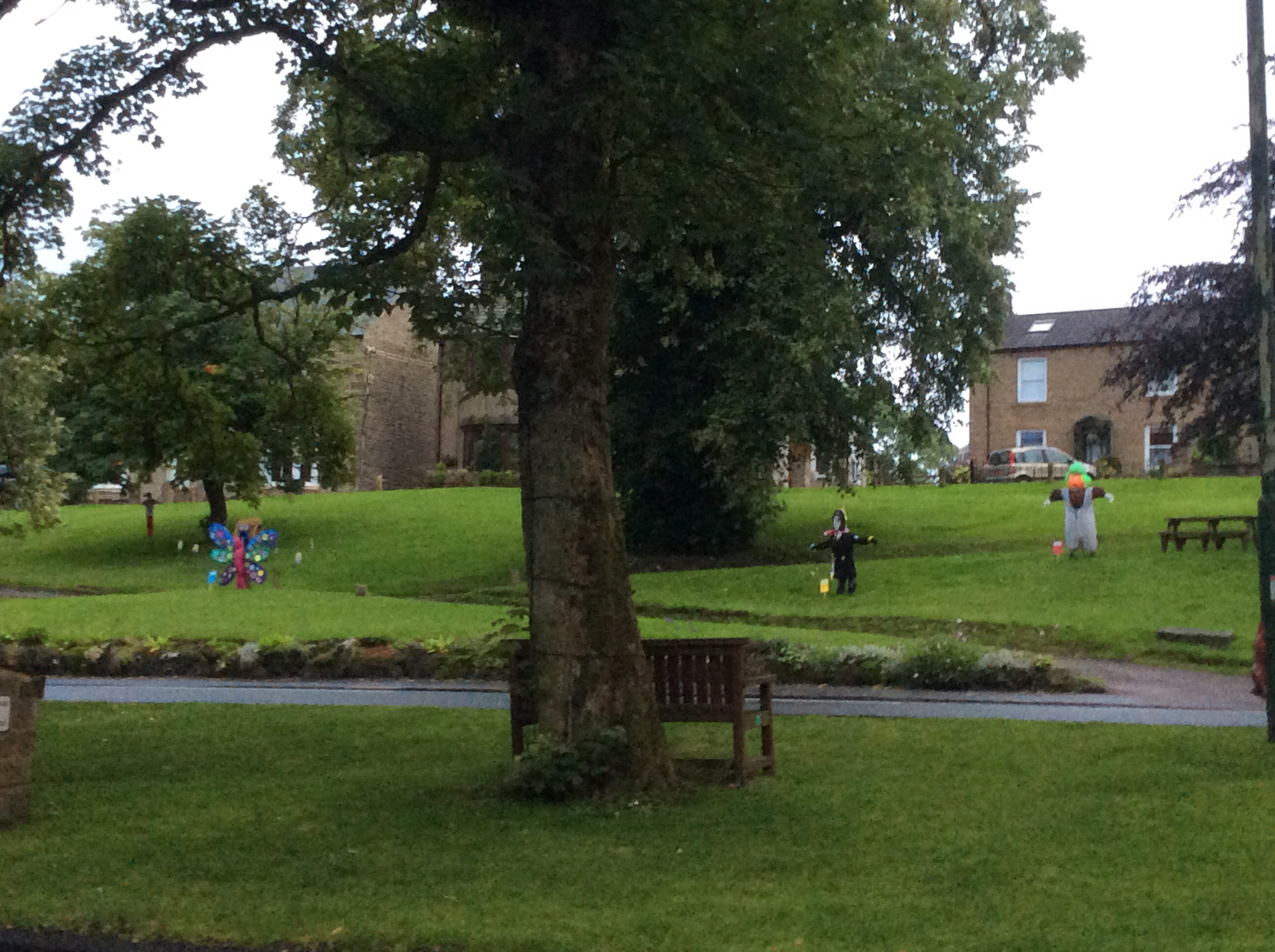
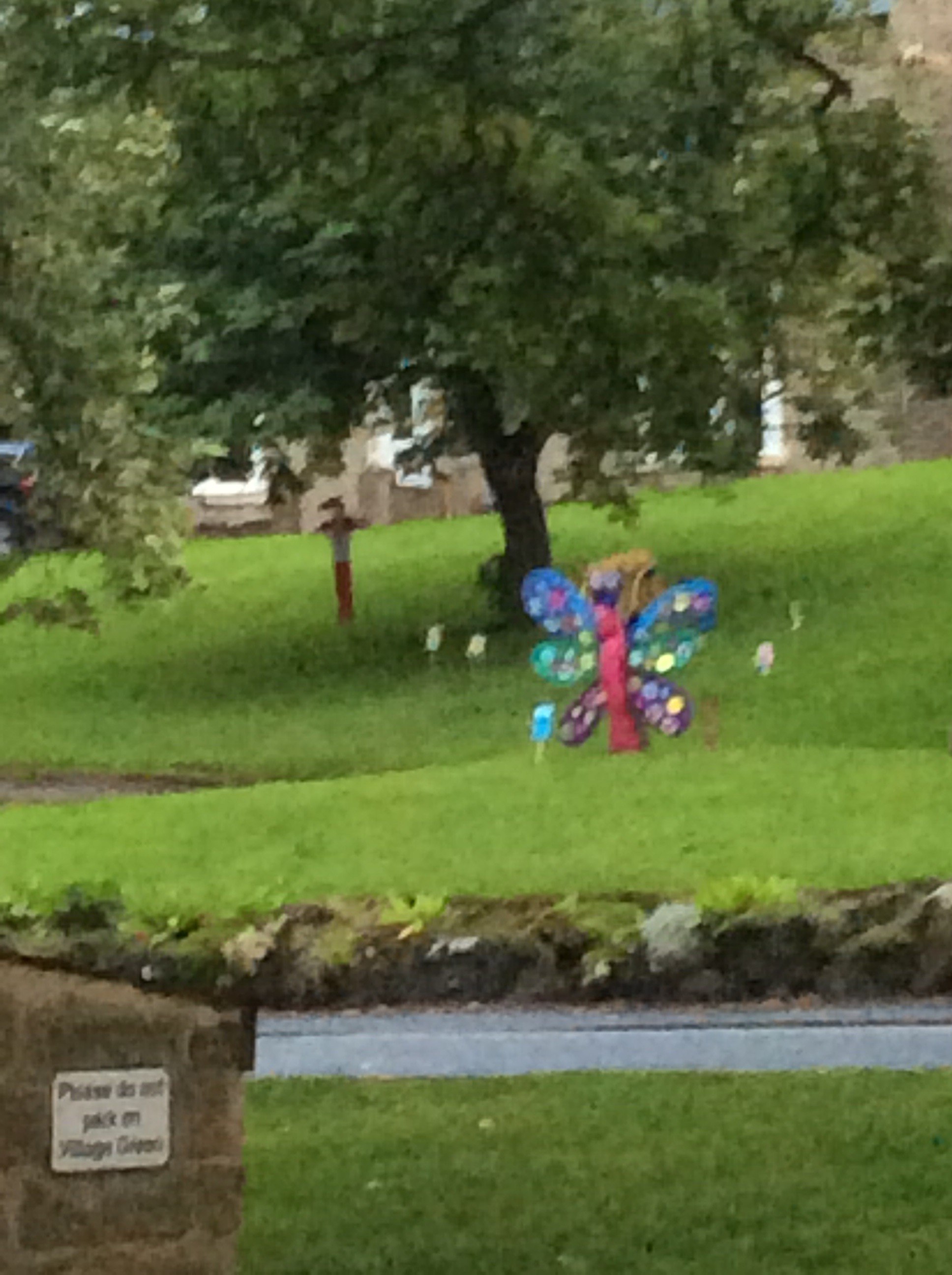
The festival was coming and the local kids had made mannequins.
I ate and got an early night.
Night night.
Dufton to Langdon Beck – God Was ‘Ere
The Way was only 12 miles today so I thought I would do it easily and quickly. I got up and packed a dry tent. Amazingly despite the forecast from hell the weather was dry. I timed it so that I’d be on the way for 10am when the local cafe opened. My fifth full English/Scottish breakfast in seven days. No wonder I ain’t losing weight. And it was great.
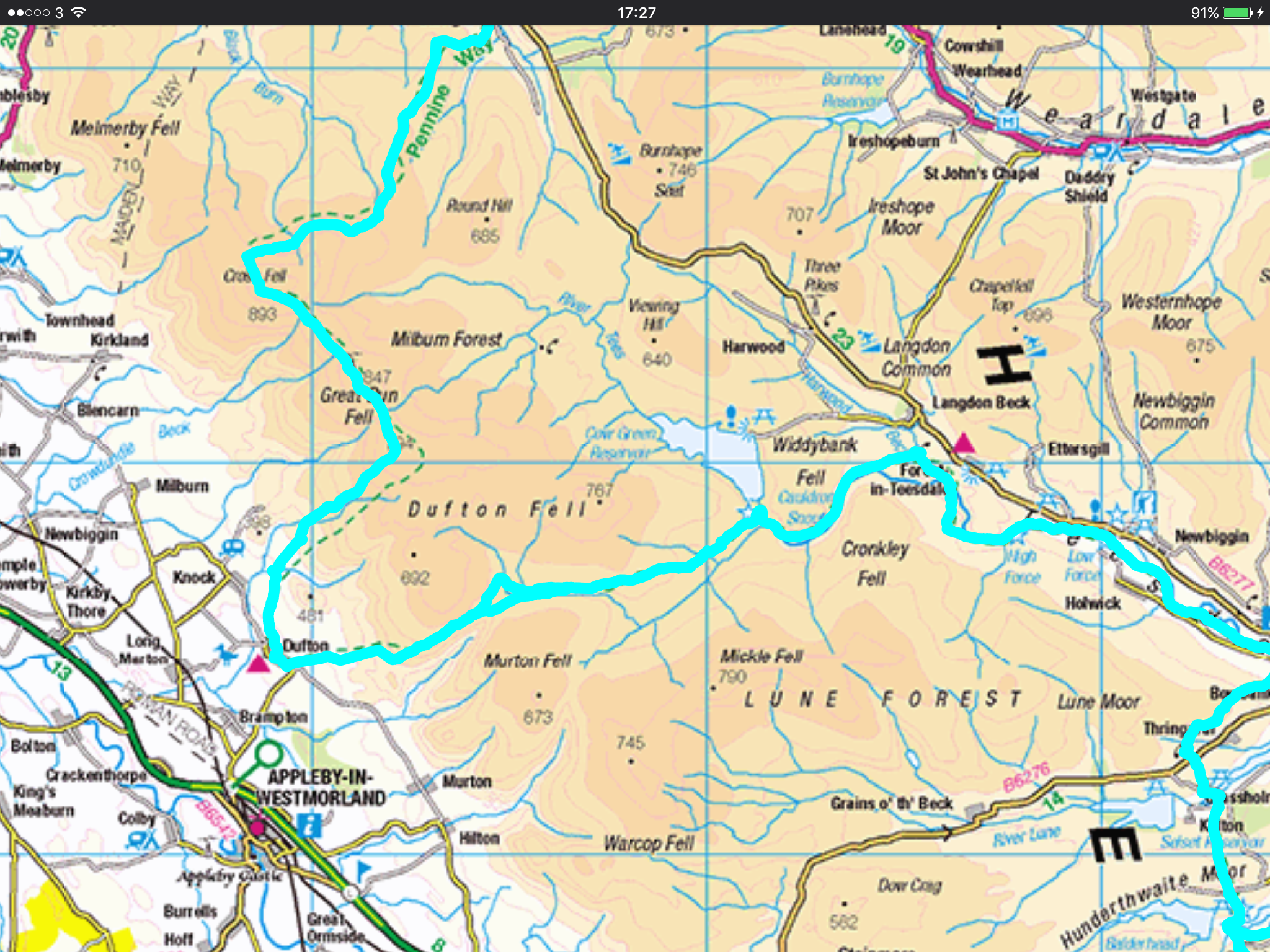
This is today’s route to Langdon Beck Hotel, between the two maroon triangles. Hey, hey, hey I’m in a hotel tonight. Not posh but blooming fantastic.
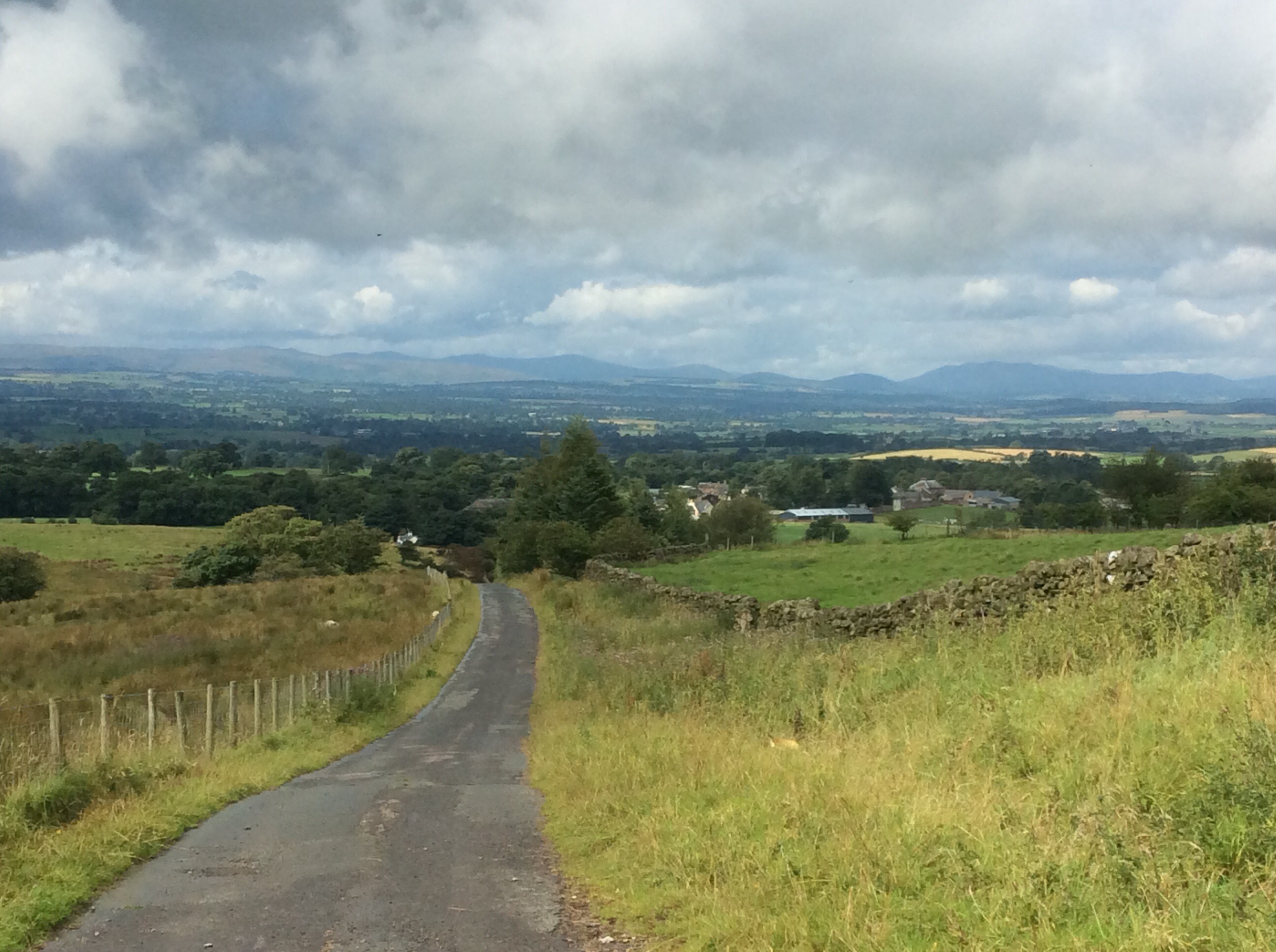
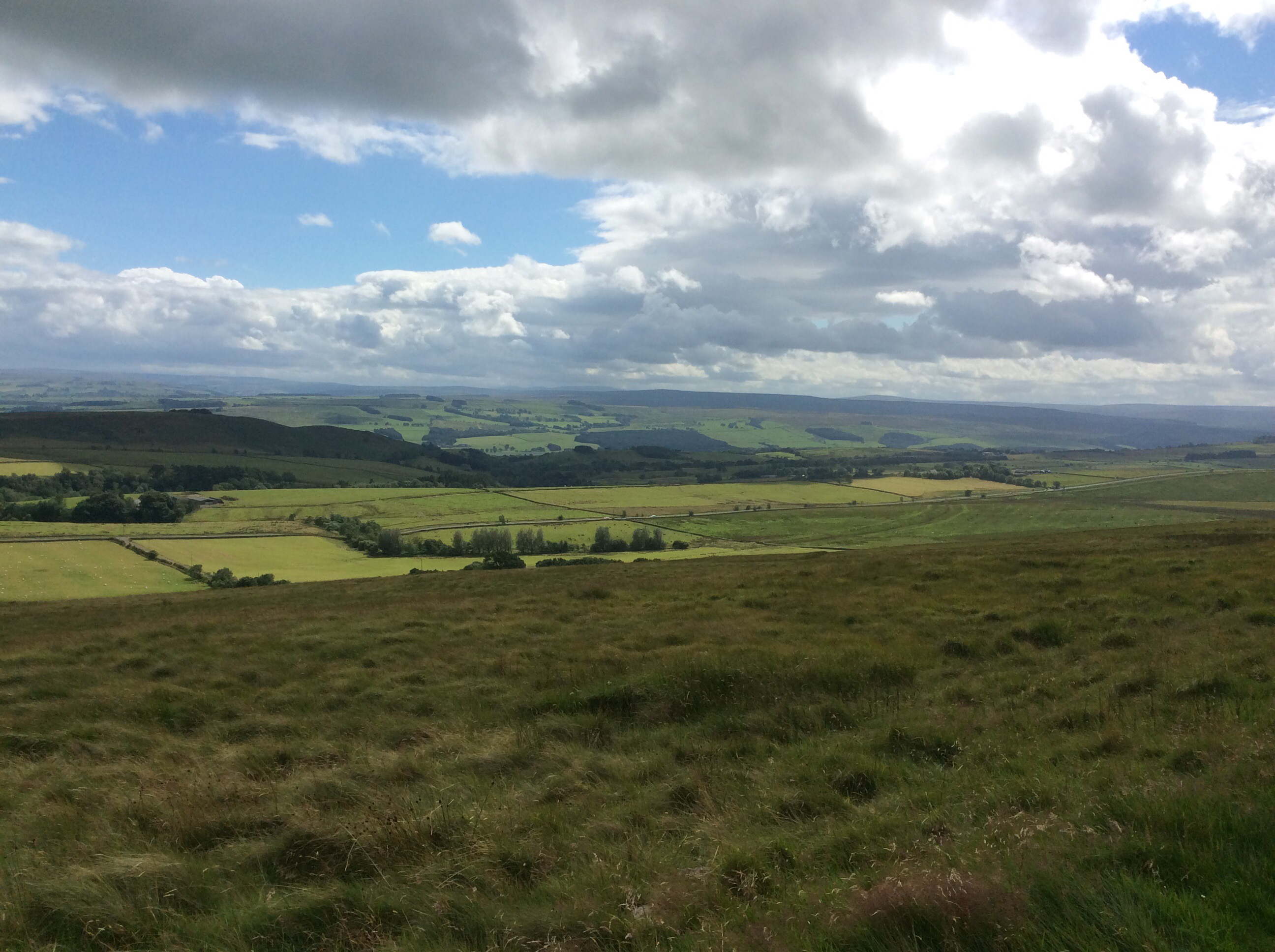
The route ran up the nearest hill turning from road to track to path. Looking back is always nice. I couldn’t choose between these views so I done them both.
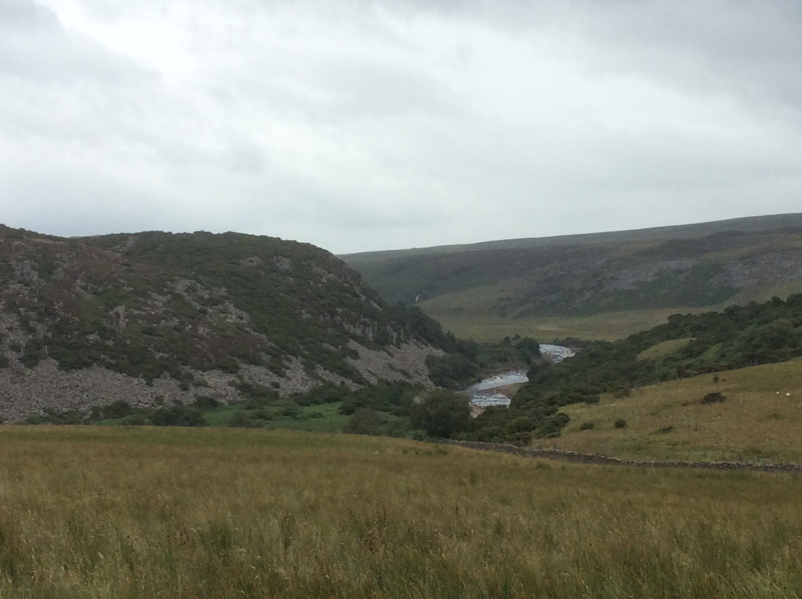
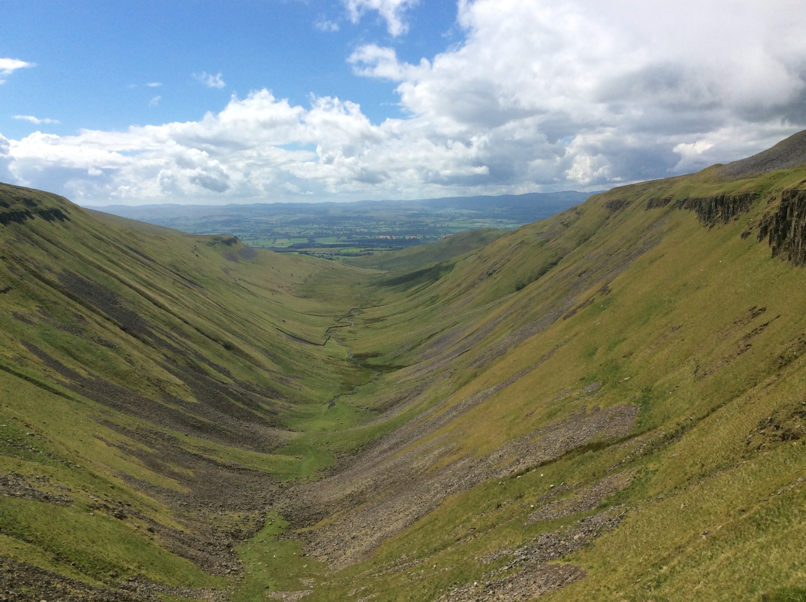
The Way climbs up above 2,000 feet again and then rambles along the edge of a glacial valley. It’s impressive.
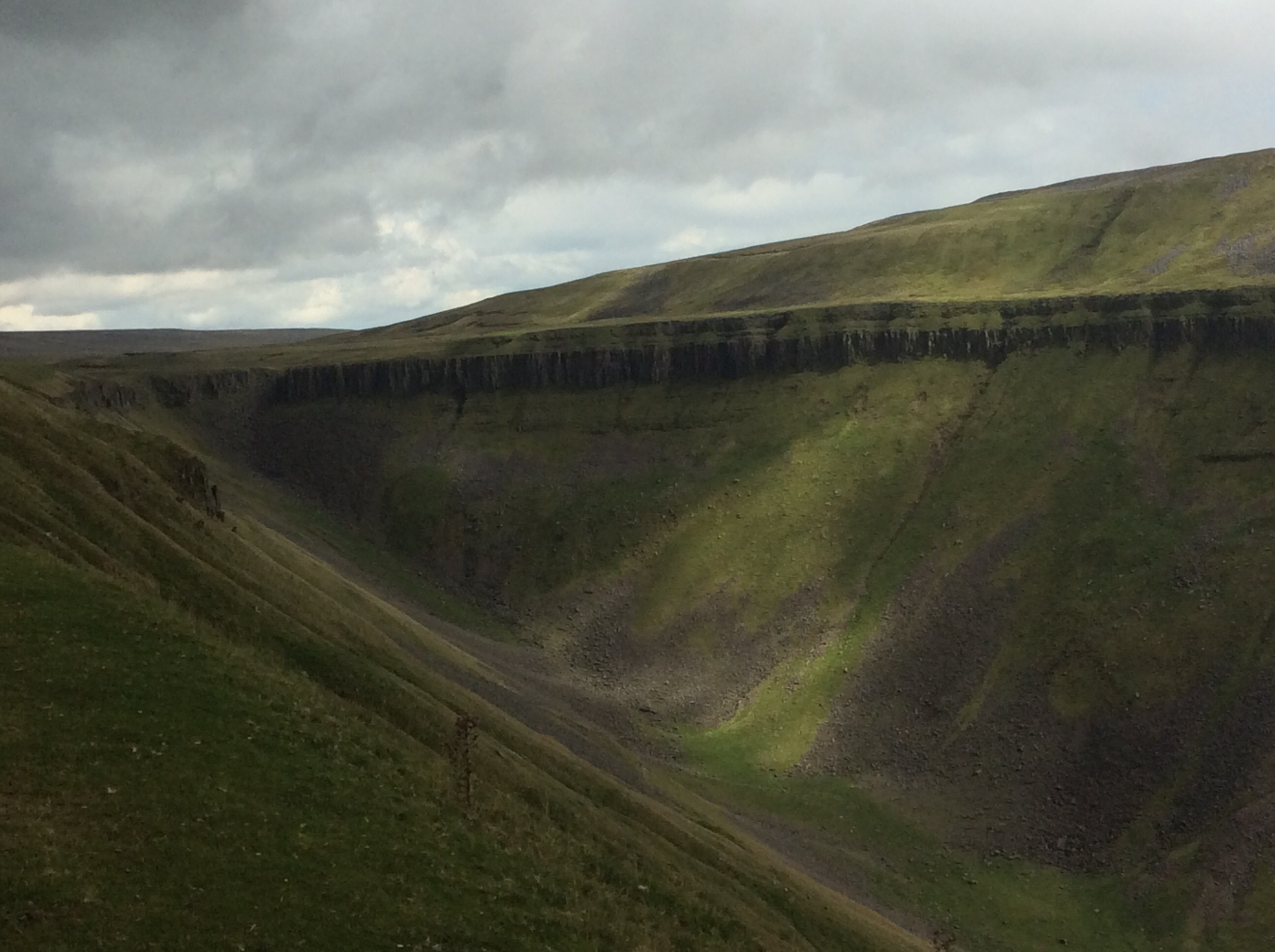
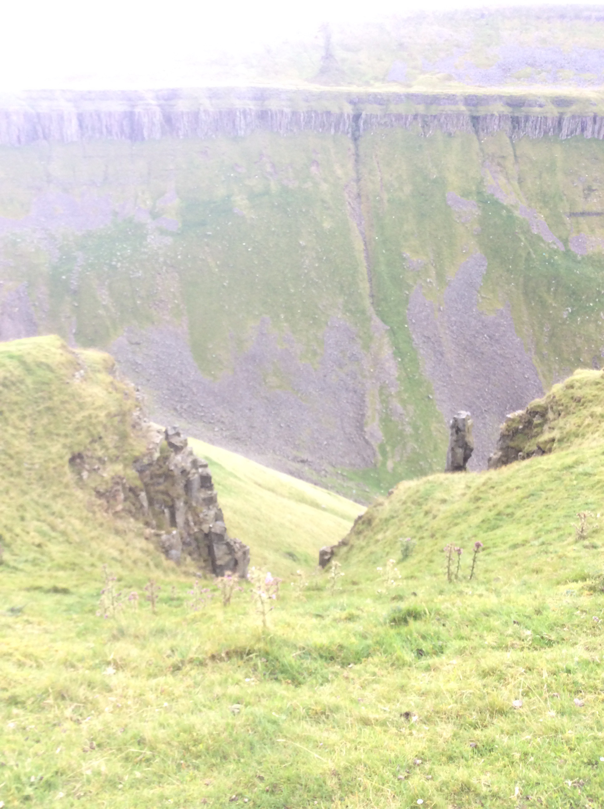
And then when you get to the head of the valley the view back is breathtaking. This is High Cup Nick.
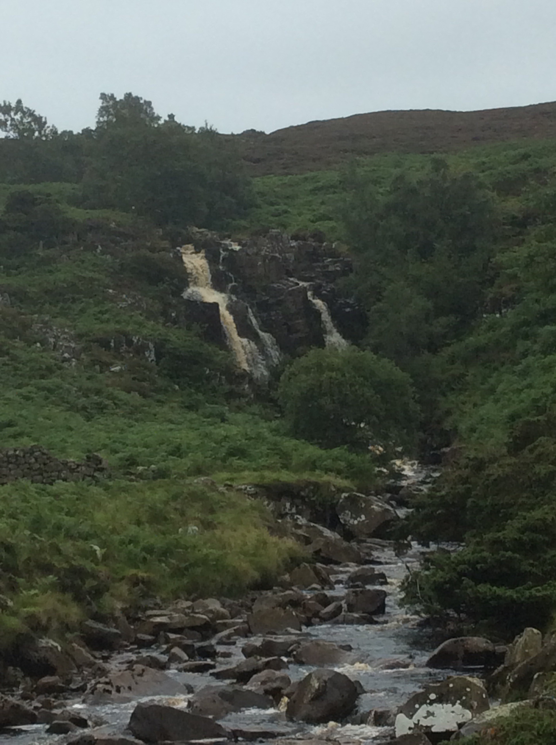
This was a tipping point. The beck emerging halfway down the limestone valley in the above photo eventually comes out into the Irish Sea. A quarter of a mile eastwards and I was following a tributary of the Tees downhill to the North Sea. And on occasions it cascaded quite spectacularly.

And on again.
This was tough going. The Way disappears and you have to climb down the rock at the side of the valley, which is tough with a rucksack. I’m not a climber. I like it but I’m too rigid and inflexible, particularly my knees, to do it well.
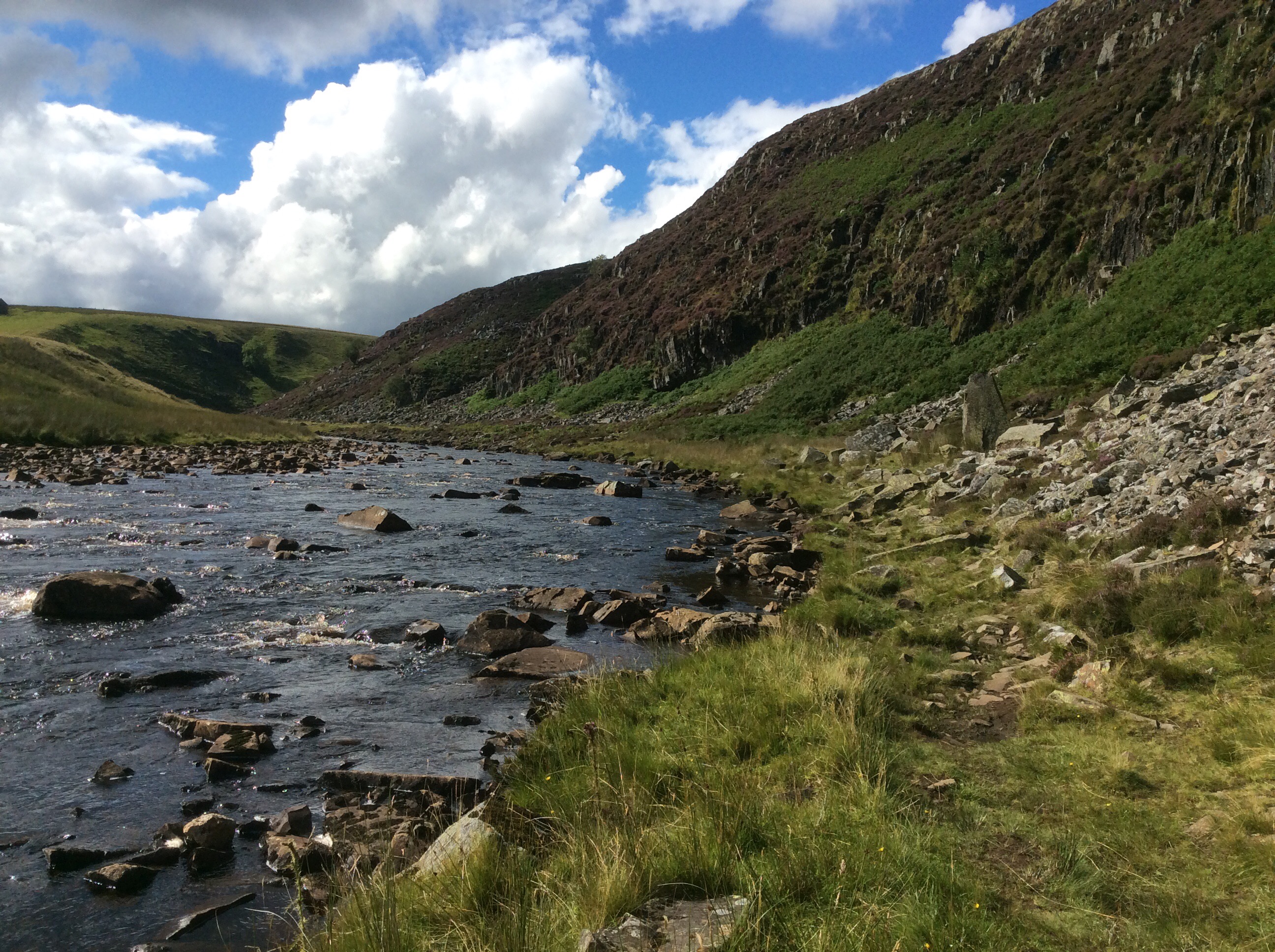
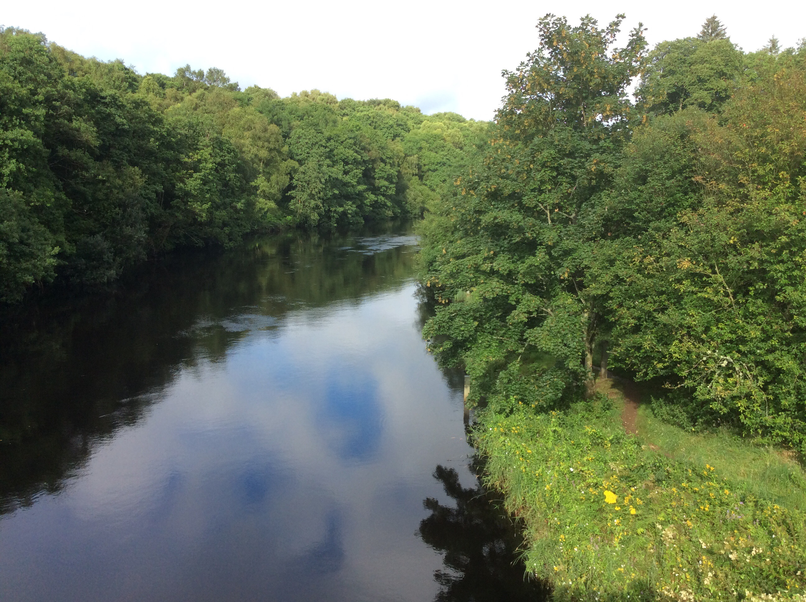
Further down the river calmed.
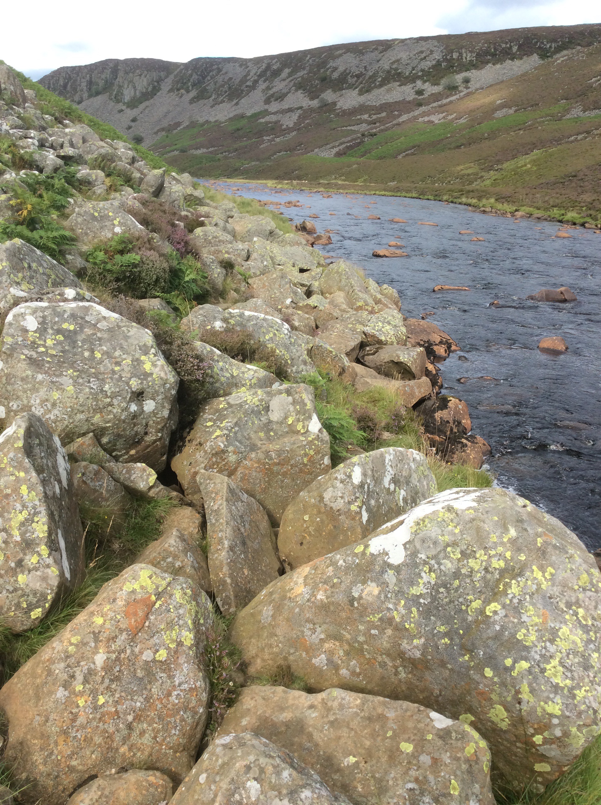
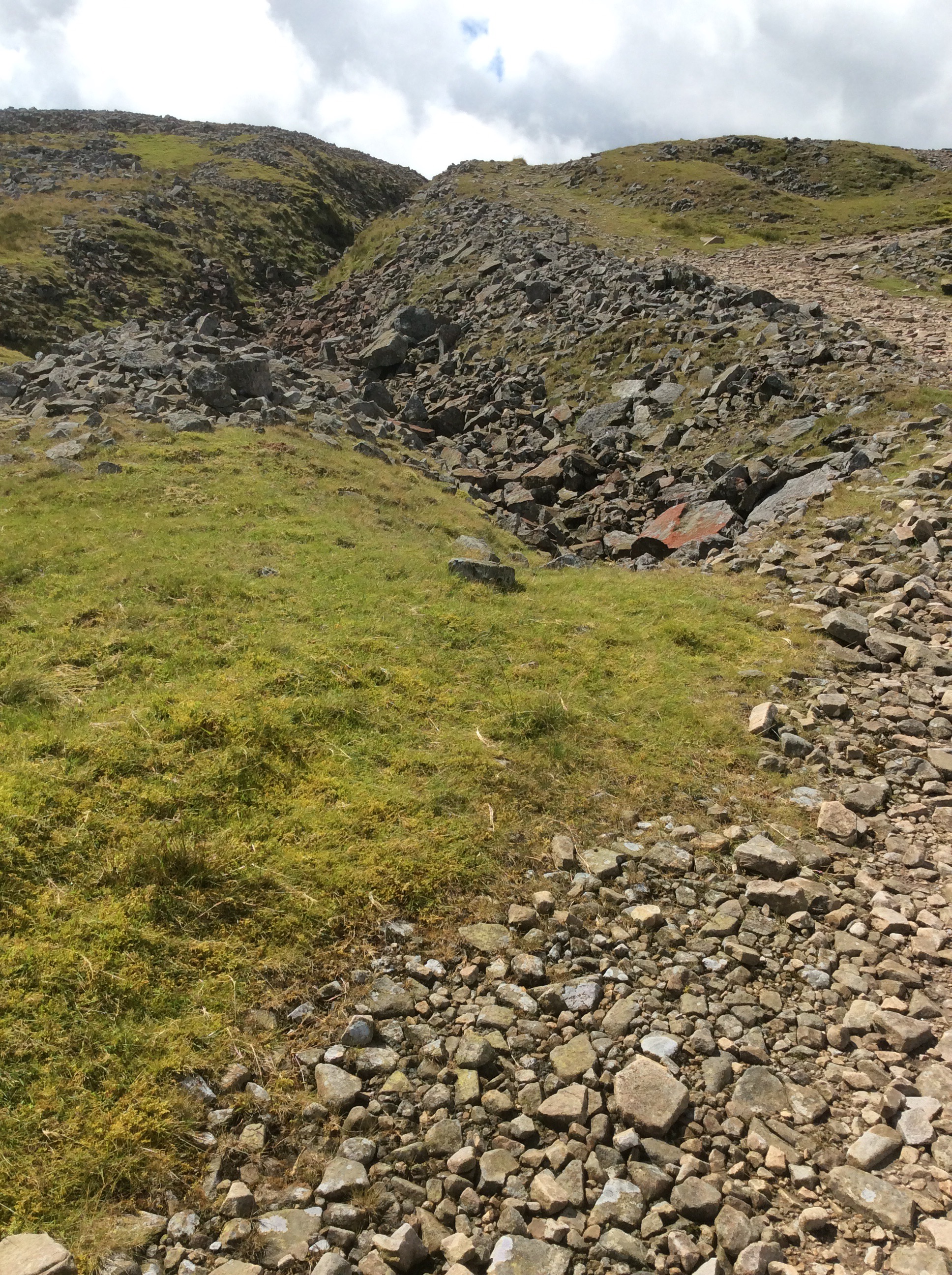
There was a real slowdown for a mile and a half of boulders spread across the valley. This was very tough on legs and feet. Keeping balance on them with a heavy rucksack is difficult.
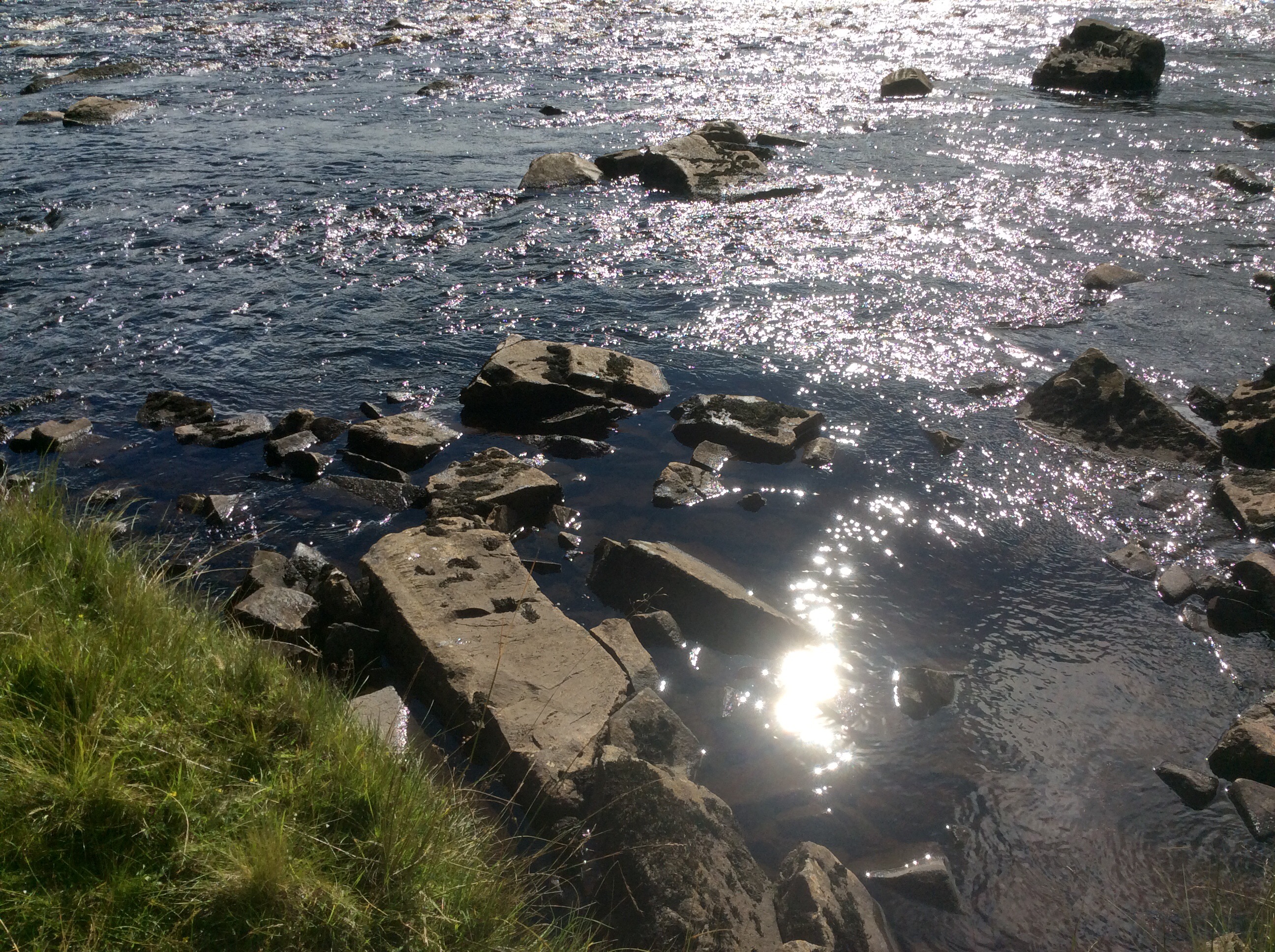
I got a sudden call of nature and stood with a foot on each of these two stones in the river and released my doo-dah. With a bit of luck it’ll come down a tap in Hillsborough.
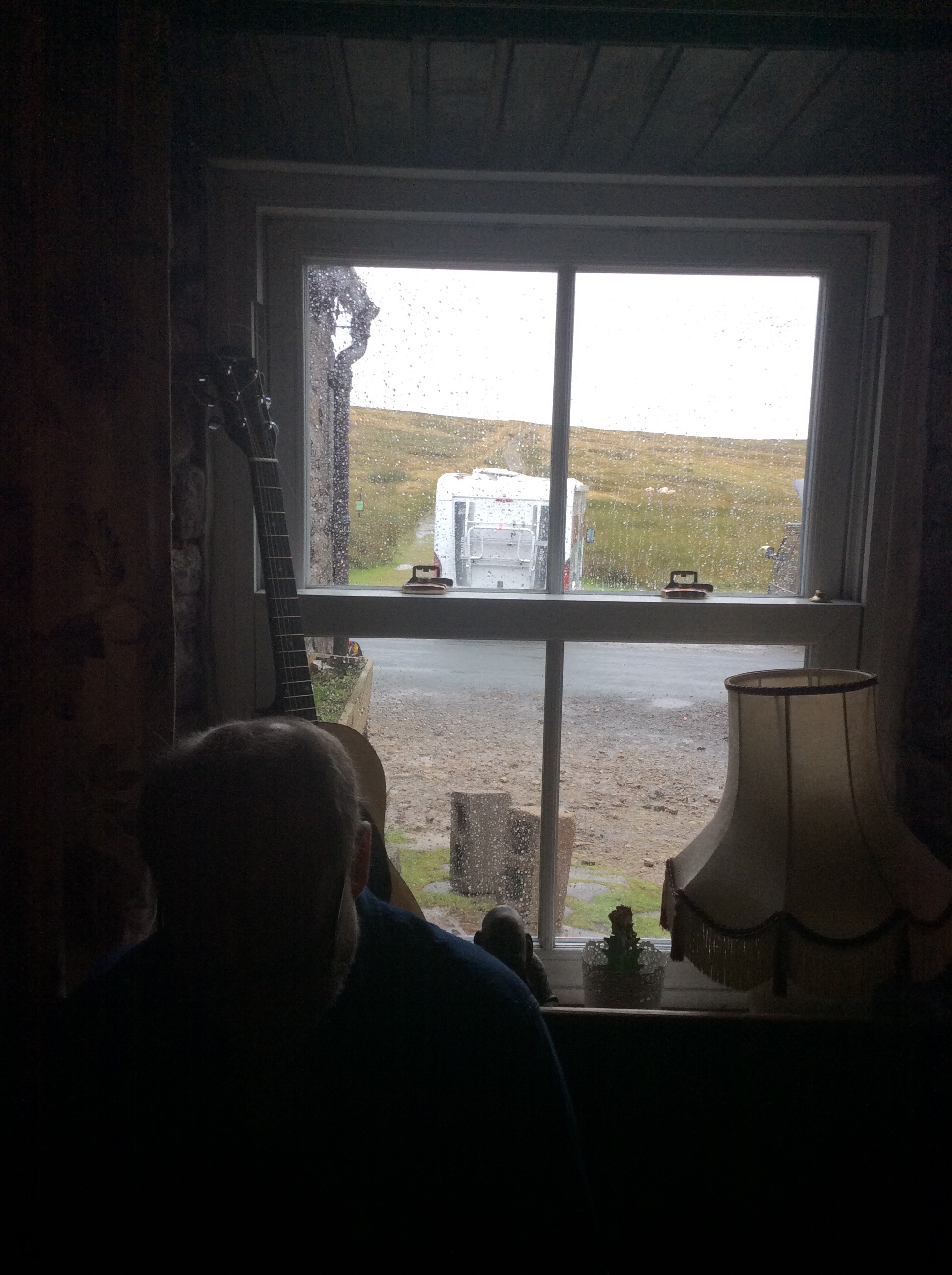
The route went on and on and eventually turned left up a track to the Hotel. Through a field of cows and a rampant bull. I climbed over a wall and waded through a deep bog to escape. The Hotel was great, food great and cheap and a good bath and sleep. This is the view from my room.
Night night.
Alston to Dufton, the Highs and Lows
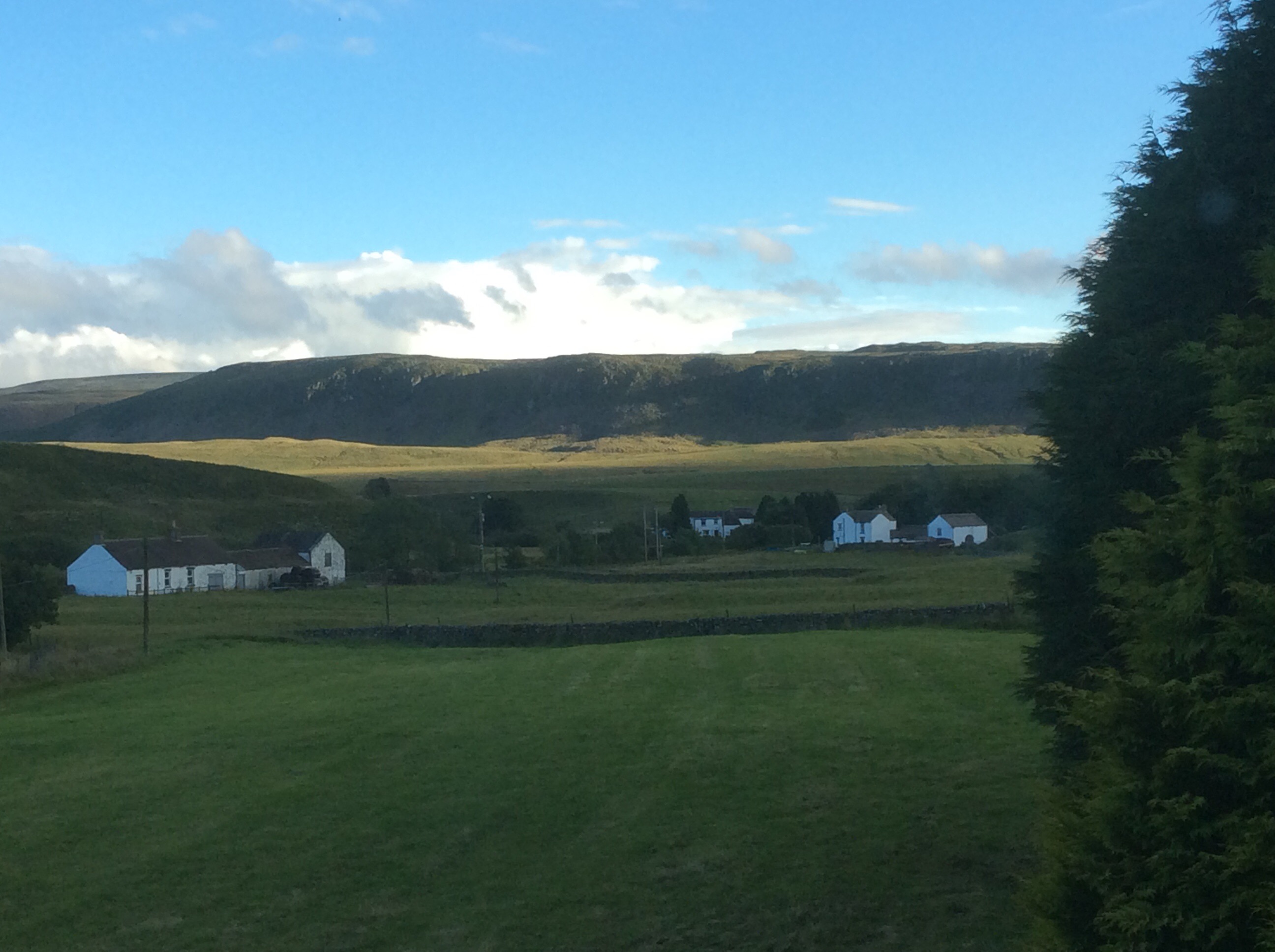
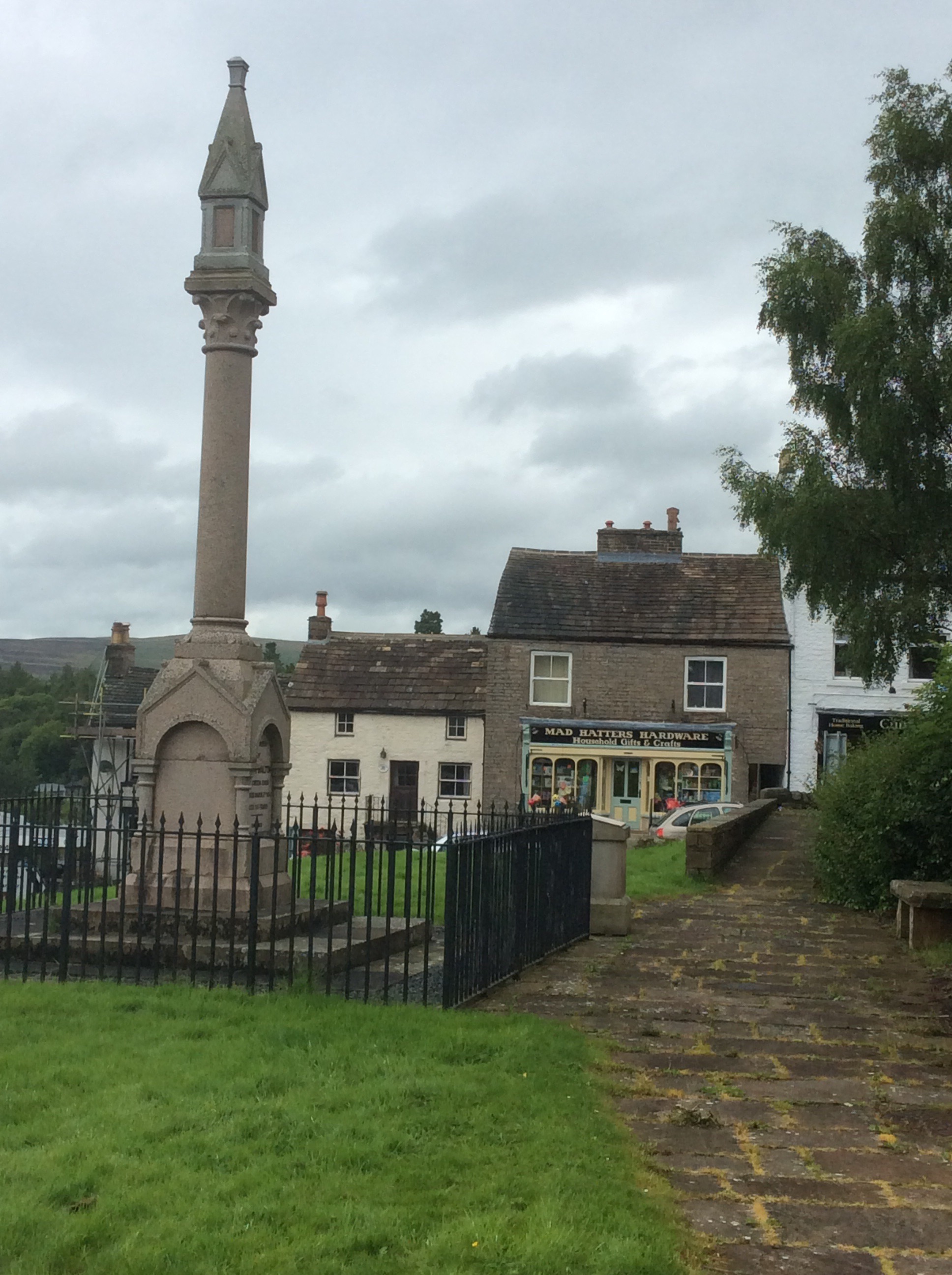
Great breakfast from Celia, although I didn’t think physically she was up to it, but routine is a life extender. Unless it’s a routine of suicide bombing. That usually cuts it short. I was a bit sorry to say goodbye to Alston. Nice village, nice folk, nice welcome. Including one from the Mad Hatter.
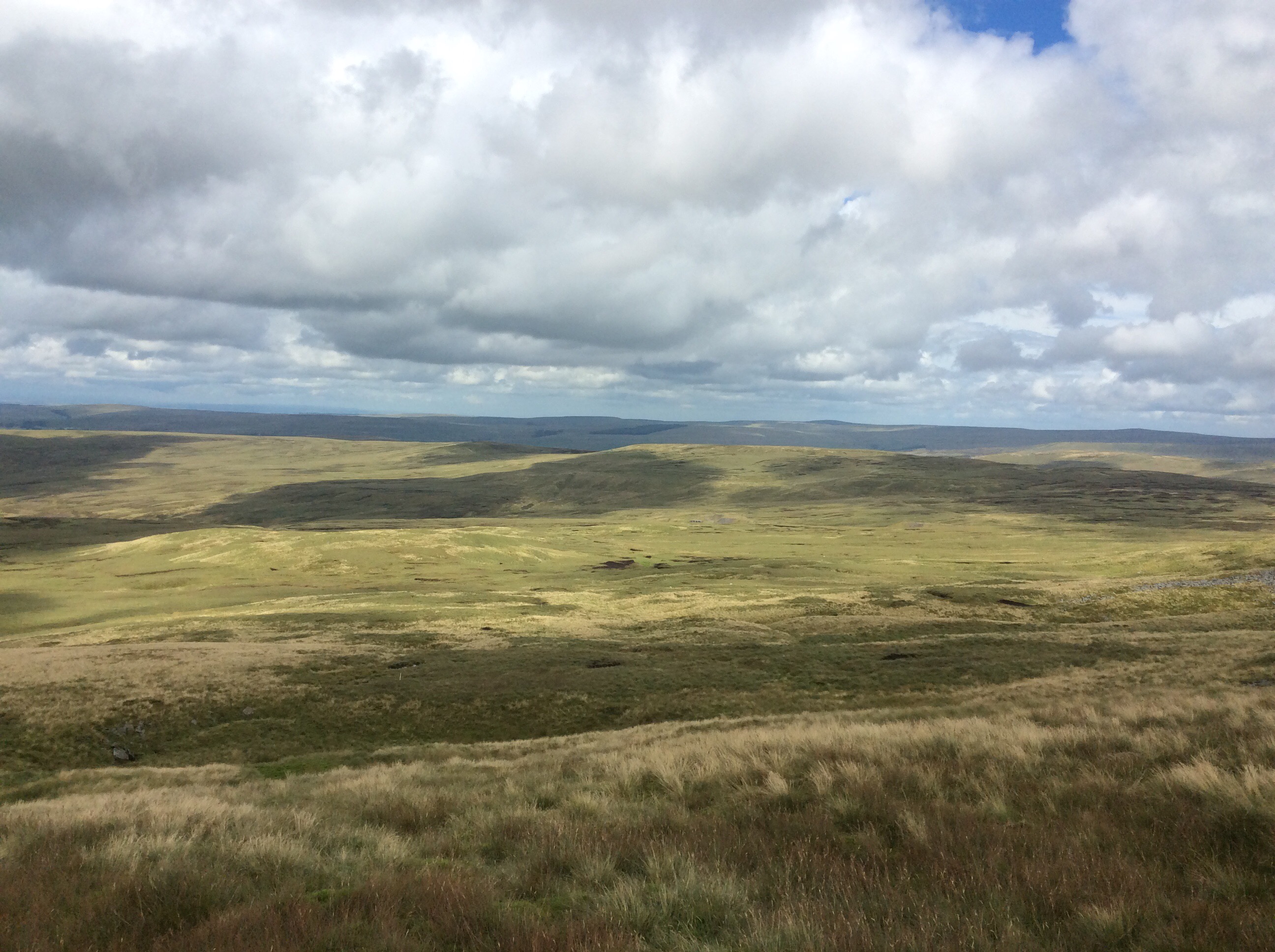
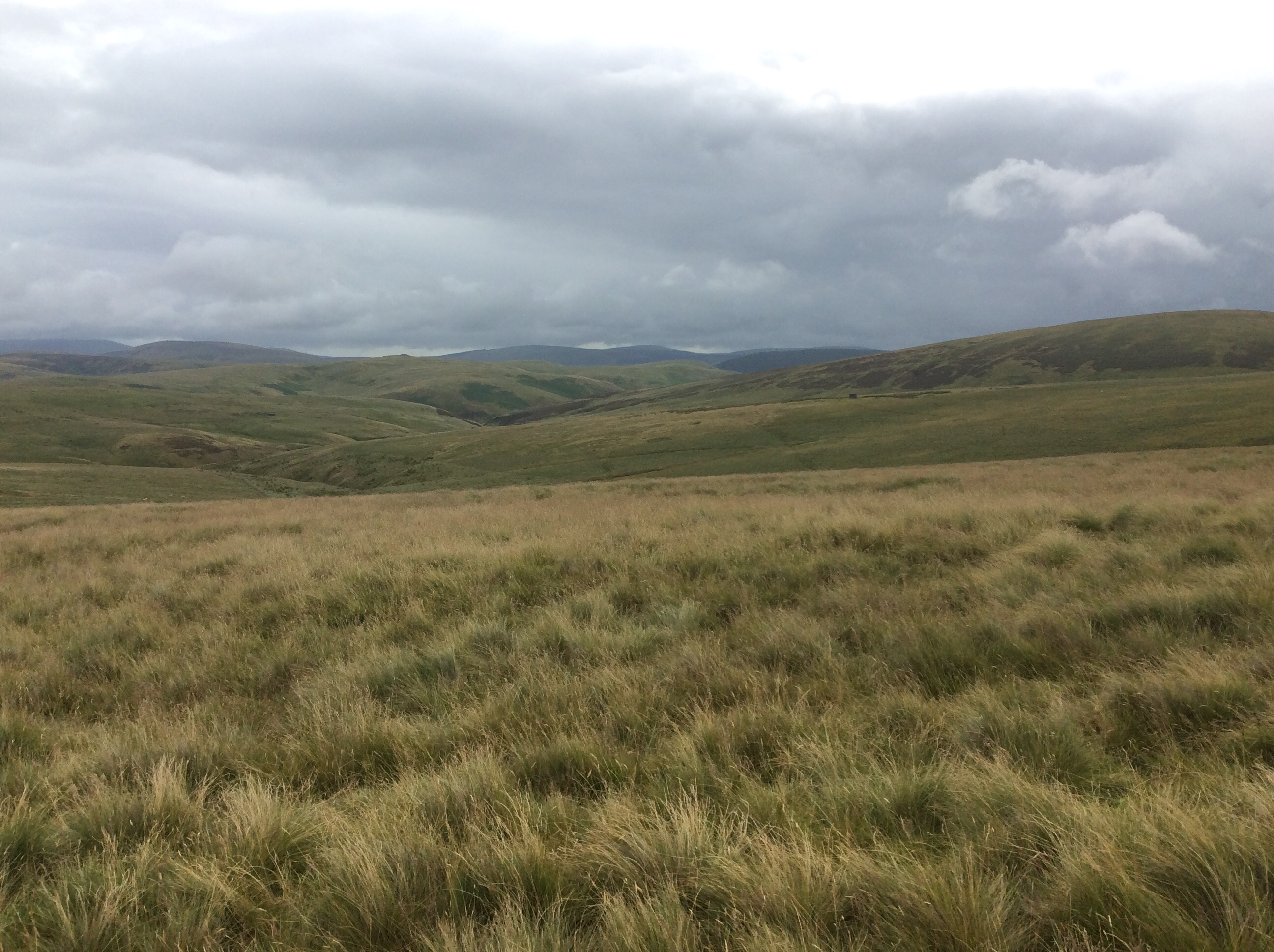
I bought supplies for wild camping tonight as I didn’t think I could make the 20 miles to Dufton. The route climbed 11 miles to peak on Cross Fell, at nearly 3,000 feet it’s the highest in England outside of the Lake District. It then dips and rises to three more peaks, lesser but still big, before dropping the last five miles to Dufton. Too much – Boo. But my feet improved a lot overnight – Hooray. However my boots were still soaking wet – Boo.
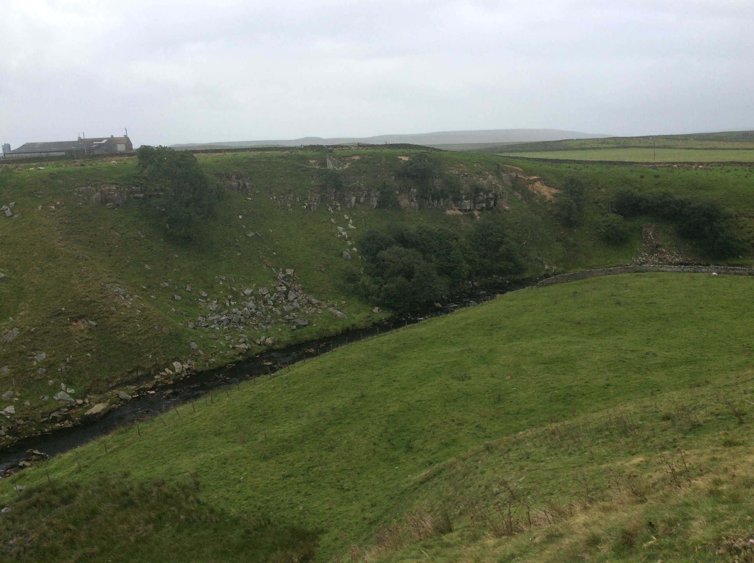
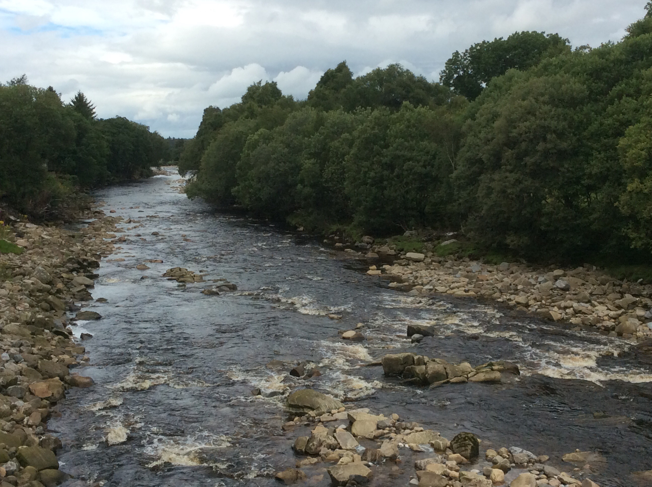
The route followed the South Tyne four miles upstream to Garrigill where it cut up much steeper for the seven miles to the summit. The river views were lovely and the weather was overcast but only occasional showers. The wind was up so it’d be lairy on top.
After Garrigill I needed to rest every 100 paces. I’m not up to the Pyrenees next year. Cross them, yes, but not along the top. My feet are too susceptible to damage from wet boots and my body strength isn’t tough as a nutter wasterd anymore. The views back were limited until I got higher up.
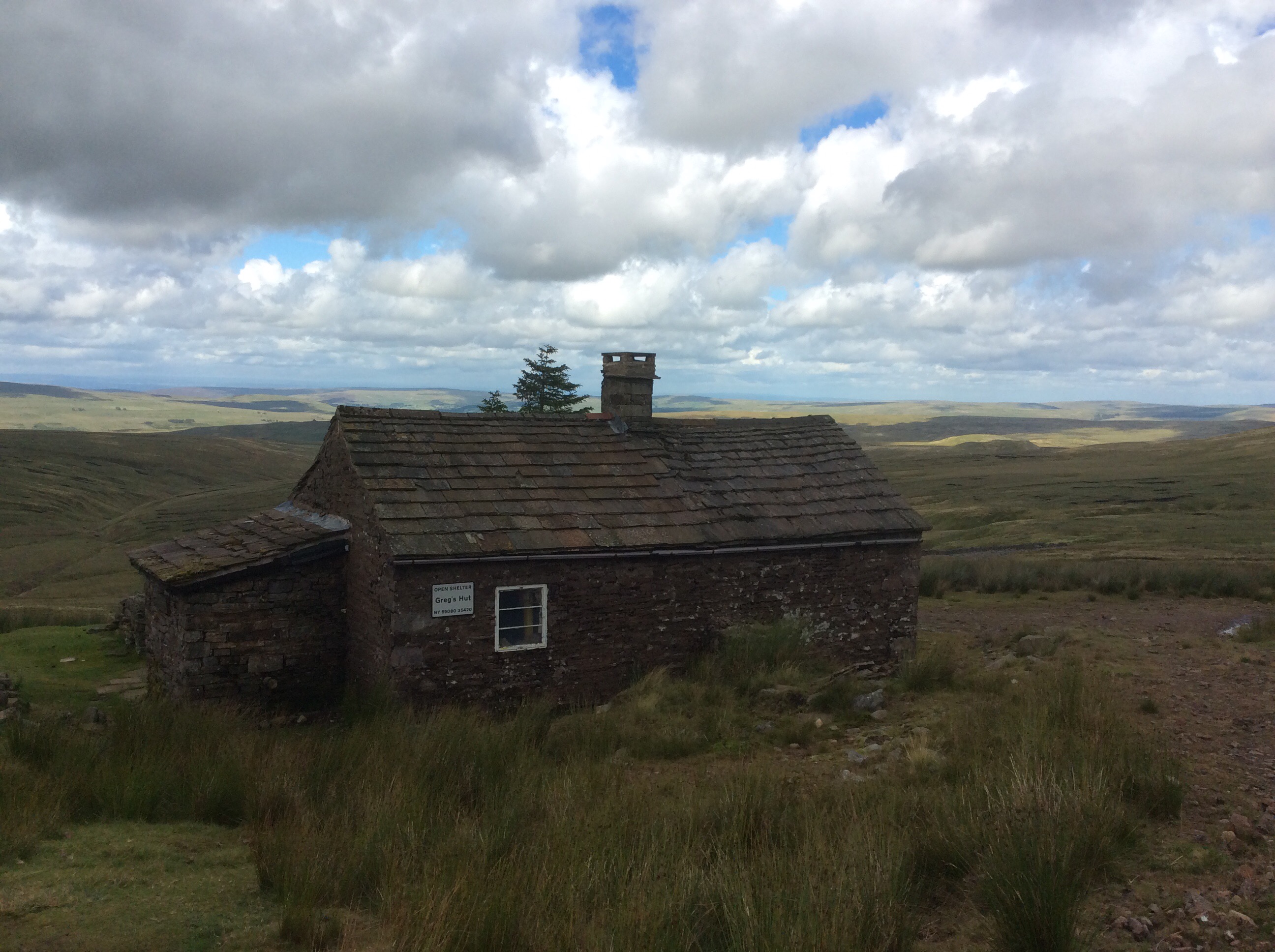
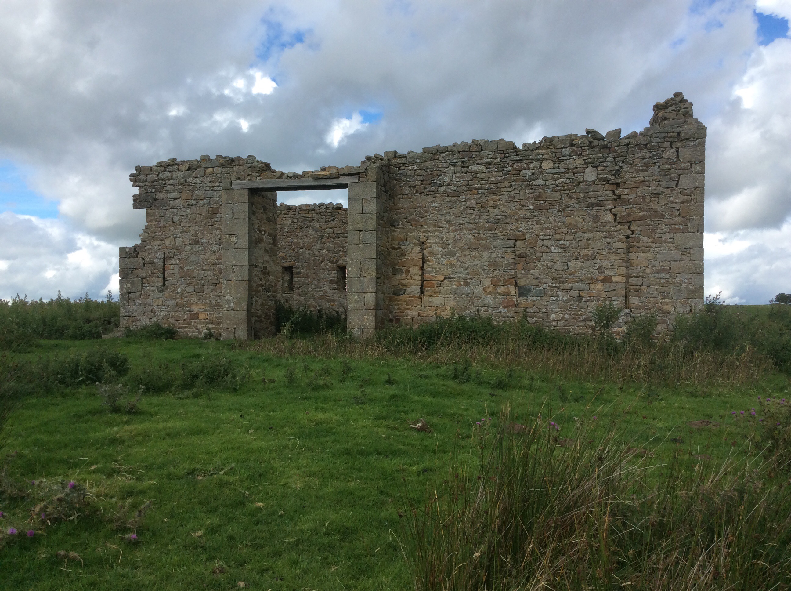
Near the summit of Cross Fell is a miners’ hut where the guys would live Monday to Friday and commute down to the village (on foot) for the weekends. Lead miners smashing and scouring the rock looking for the soft metal.
And Greg’s hut is now preserved by volunteers as a bothy and emergency refuge. Saving many lives in the depths of winter and spring.
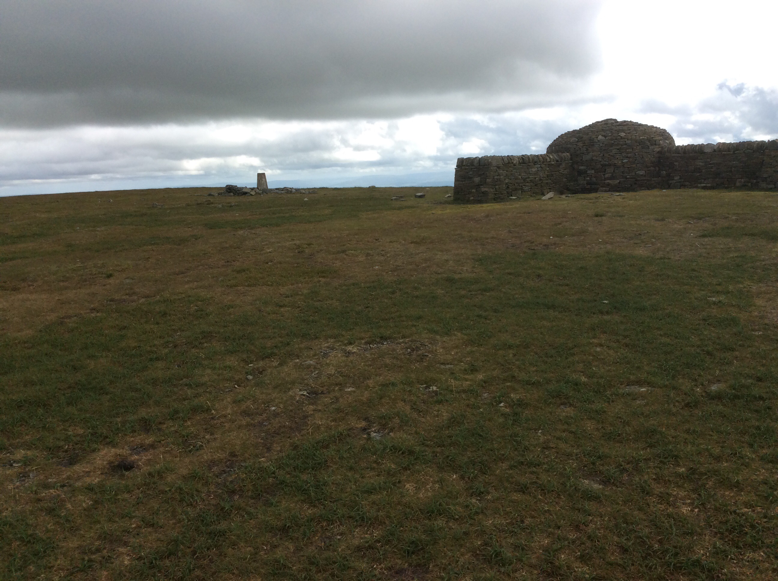
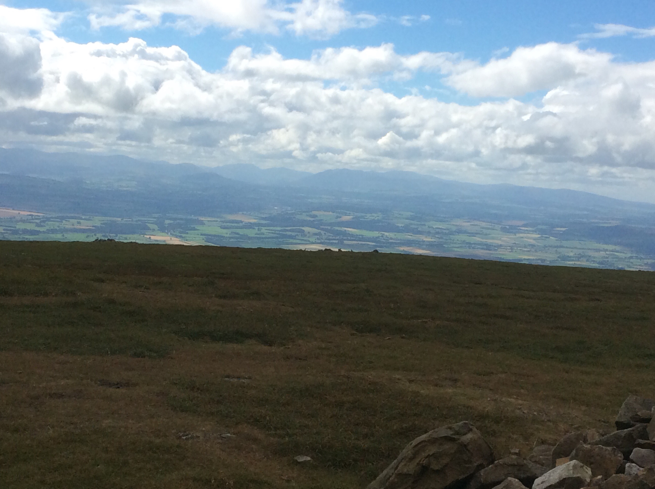
The summit was elusive but I caught it. And nearly got blown off for my pains. It was incredible, literally lifting one off one’s feet, one.
With the first views I had seen of the Lake District to the west. Stunning. I’m in Cumbria now. Lots of grouse up top and a gamekeeper I spoke to on the way up was a Carlisle fan. Always a strong indicator of geography. The Pennine Way is further west than Manchester here.
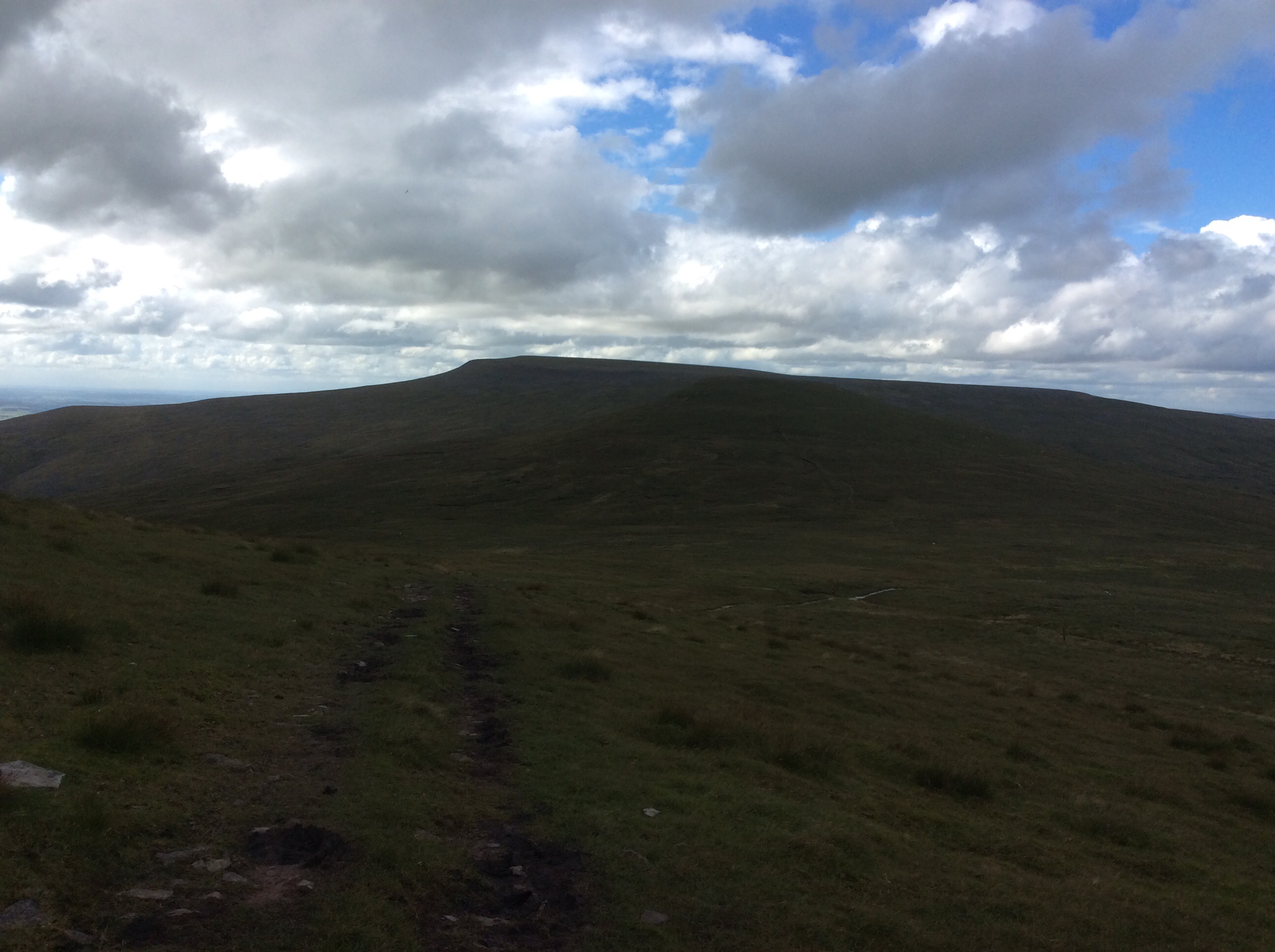
The summit was a deep bog, as were two of the next three summits, and all of a sudden I thought I could make Dufton and a campsite with a toilet, shower and pub. Looking back Cross Fell was brooding again.
Looking forward I gritted my teeth and tried to ignore the pain of the soles of my sodden feet, standing on bog grit on my inner soles that couldn’t be knocked out. I chanted, with each step, ‘Come on old lad, keep on going, Come on old lad, keep on going’. Four hours later the Way had dropped off the last summit and dropped down steeply towards Dufton.
I made it. 7.45pm and I did it. Ten and a half hours walking and climbing. I pitched the tent on site, cleaned myself up, ate my provisions, limped down the pub for a pint and limped back.
Night night.
Greenhead to Alston – I hurt myself today
A good night’s kip. The breakfast at the Greenhead pub lived up to expectation. Fantastic. I took my time, revisiting the breakfast bar and finishing the very big teapot. The forecast was bloody awful, but the sun was out and it was dry. It stayed dry, against the odds, until late on in the walk. This was the 17 mile walk.
A relatively straight trail; and the Way went forever on.
The worrying feature of today was walking through herds of cows and hoping I wasn’t splitting a cow from its calf. They can get a bit lively if you do. There were bulls in there too and energetic young bullocks. Face forward, uncovered by my hood so they know I’m human. Vaguely. Eyes down to the ground, but keeping a sideways glance for any adverse movement which would herald the spoiling of my shorts. I would rather walk the plank. And I did!
This is cattle and sheep farming land. Sheep in the higher pastures and cattle lower down. I spotted a bull, alone in a huge field, which the Way passed through. On the other side of the wall were cows and calves. I jumped over the wall to avoid the bull and the farmer came over a hill on his quad bike and spotted me. He drove over and I said that I’d jumped over because his bull scared me. He said ‘It’s a cow, and the bull is over here with his cows.’ I felt a bit foolish. But this is what happened to the last bloke who wasn’t careful with cattle.
And just down the road this fat wasterd was eyeing me up. Waiting to pounce.
Some of the barns were very old, built with rock that looked like it might have been pinched from Hadrian’s Wall.
The Way cut over the hills and started winding up the side of the South Tyne valley. The weather was still holding good and the sun was out intermittently. So much that at the end of the day my baldy head was sore a bit on top.
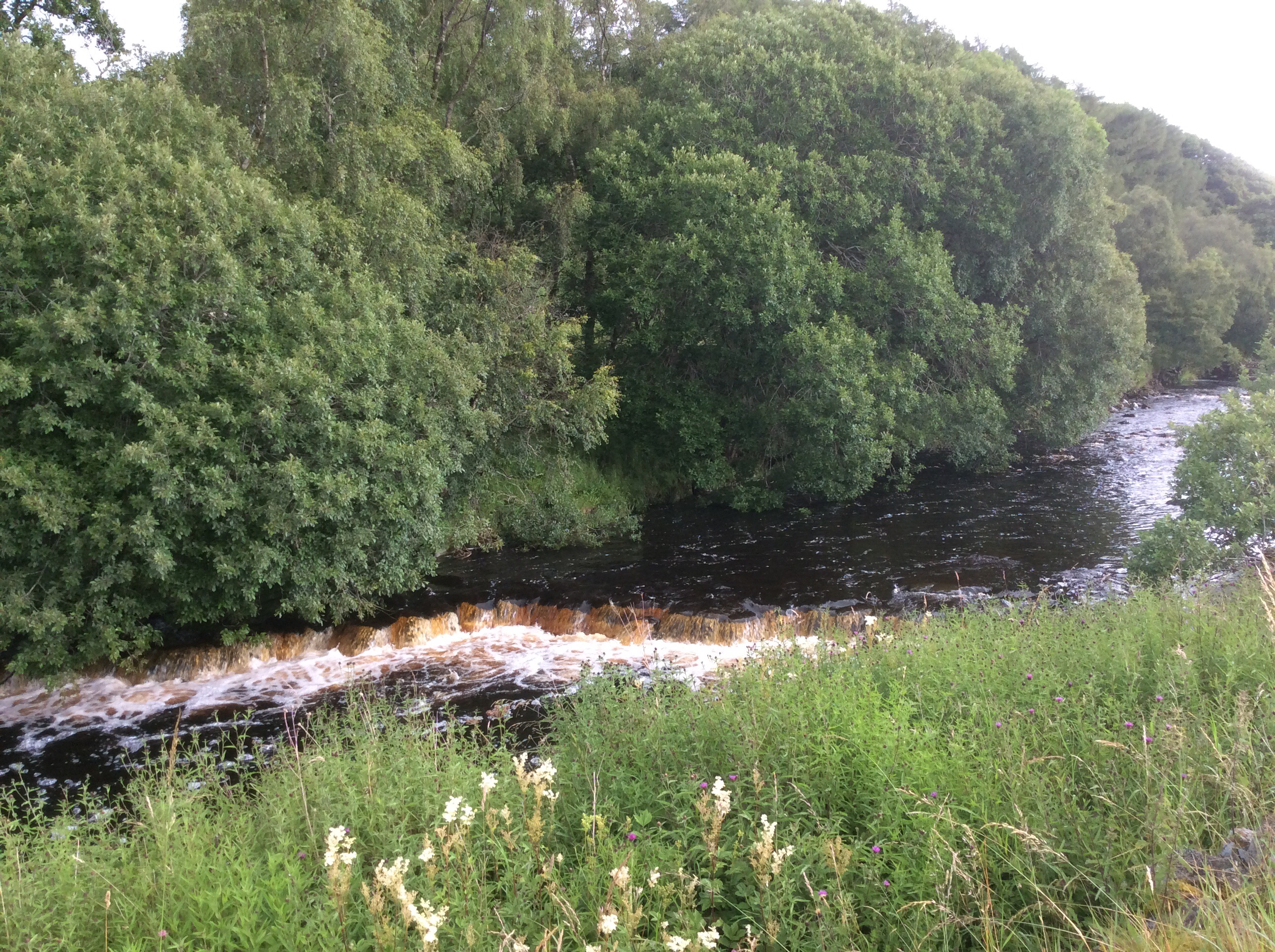
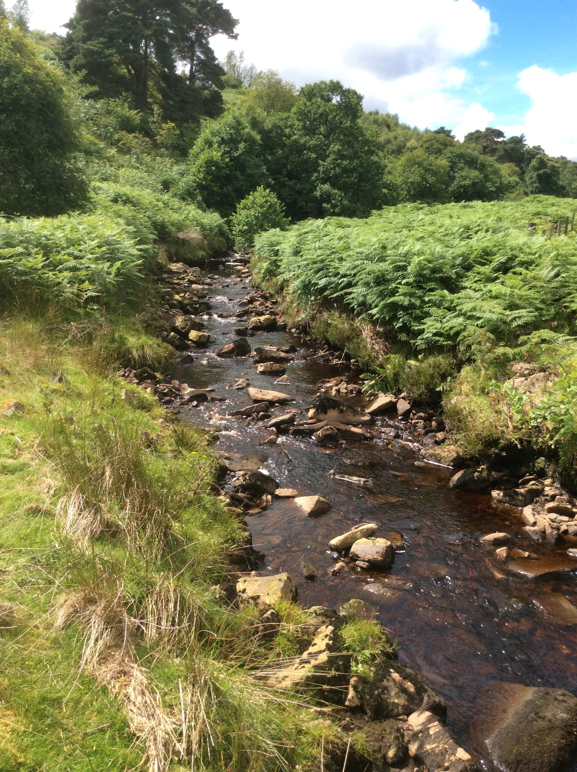
A delightful stream came down the hillside and it was a lovely view.
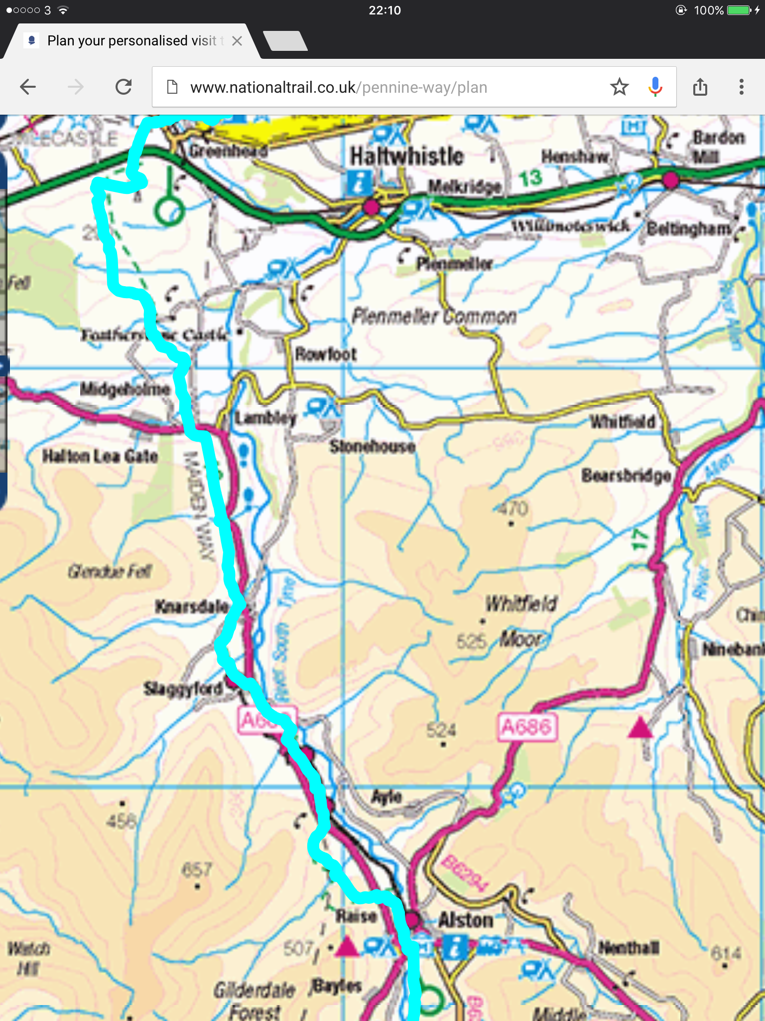
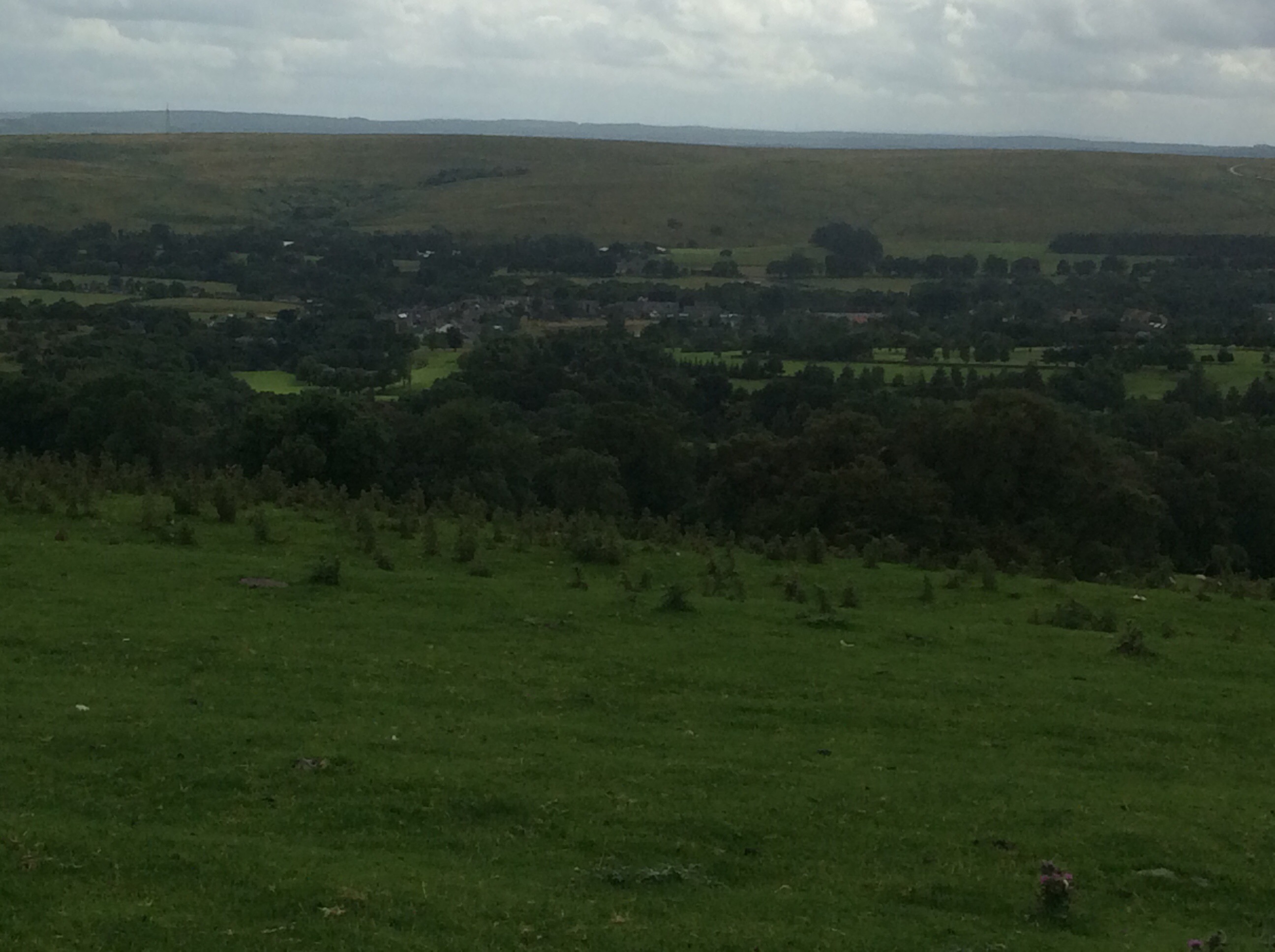
I reached Slaggyford and started out on the South Tyne trail along the rail track, meeting the PW at Alston four miles down the pitch. I’d heard that the views from the trail were great so I deserted the PW for a while.
It was true. The views were delightful.
My feet were soaked from the usual dunking in peat bogs early on in the walk and were blistering quite badly by now. The last three miles of this 17 mile door to door walk were excruciating and I hobbled into Alston station like a geriatric wasterd.
Tonight was a B&B called Highfield, run by Celia and Catherine. Celia is the elderly matriarch who was a member of the Northumberland Climbing Club and met her husband there. His ice axe is mounted on the wall. Serious climbers. Now she is a lovely old lady who greeted me with tea and warm scones. Delightful. I showered and hobbled down to the Victoria Inn, where the chefs are two Muslim Bangladeshi lads, had a couple of beers and a Special Jal Frezi. One of the best curries I’ve had in my life. These lads come up to Alston every day from Newcastle to cook in the Victoria and go back each night. Dressed in their normal Bangladeshi gear they look incongruous in Alston but everyone in the village loves them. England is…… alive and well and living in the South Tyne valley. I limped so badly back to the B&B that a motorist who was driving in the opposite direction stopped and gave me a lift. England is………
Night night.
Bellingham to Greenhead – mud and Hadrian’s thingy
Packed the tent in the rain. Had two Scotch eggs and a swig of water for breccy and hit the road. 22 miles today up and down hills and through bog from campsite to campsite. Climbing 3,000 feet and descending it too. Goodbye Bellingham – pronounced Bellinjam. Capital of the North Tyne.
I avoided the waterside loop and cut down the road to the bridge on the Tyne, nobody else there. All mine, all mine, bridge on the Tyne’s all mine. And the sun came out briefly to celebrate my crossing.
The PW (don’t get brassed off at the initials – it saves me time, except on this occasion) climbed uphill and the view back to Bellinjam (sic) was ok. However the (sic) was inappropriate. Well spotted.

There’s some money round here. Look at this place.
Not cheap. Anyroad the road rose with me and dropped down over the other side. The view was dark but pretty good.
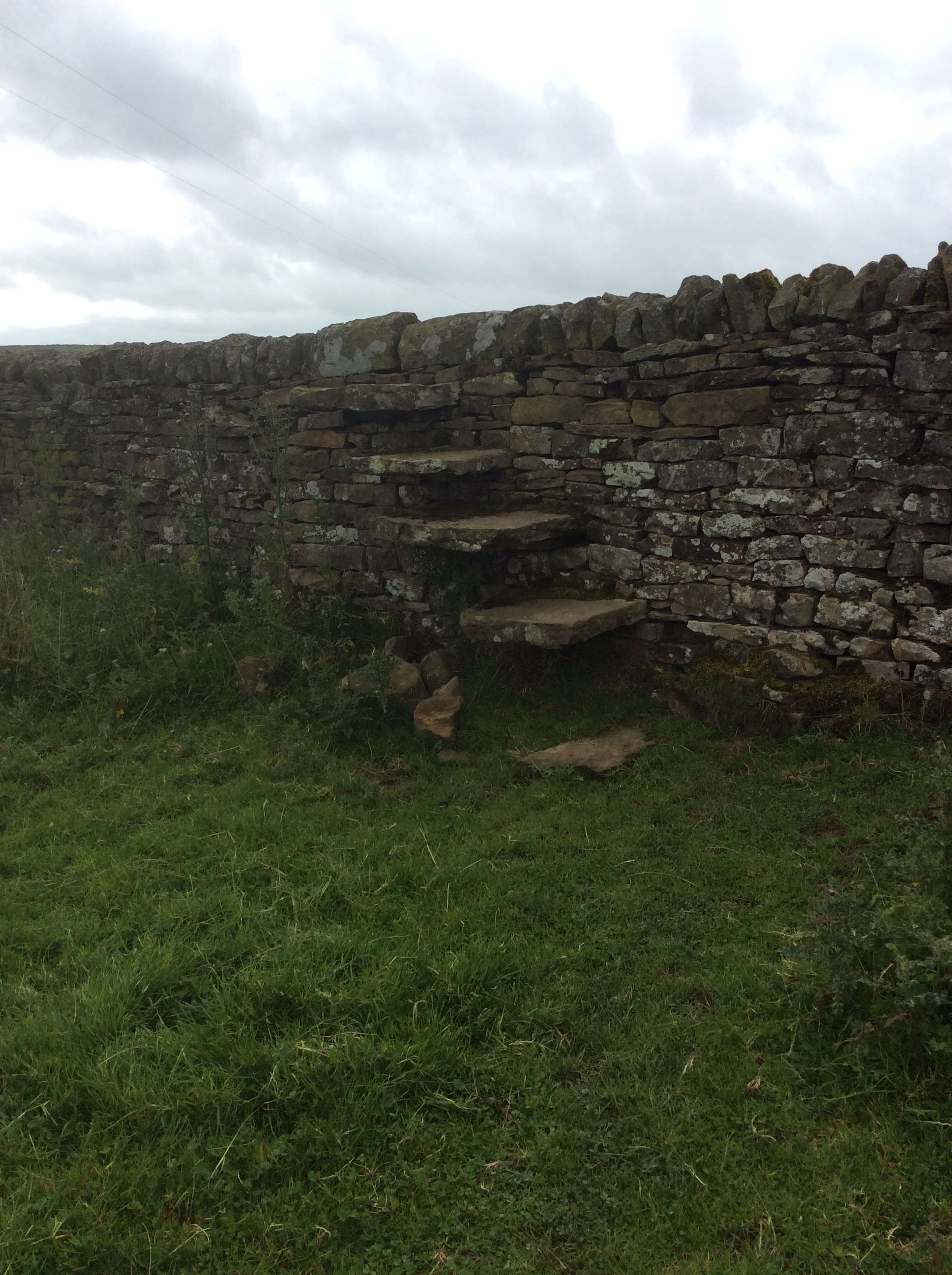
What was really interesting were the features. This kind of ancient stile over a dry stone wall.
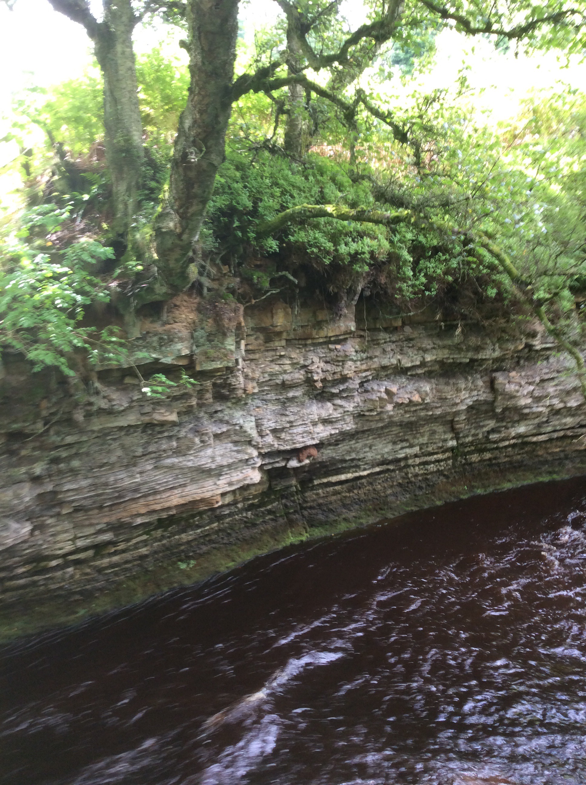
And this tree clinging on to the edge of this river cliff for dear life.
He sun illuminating foliage at the side of Warks Burn.
And the delightful fly agaric, which has strong psychedelic effects. Russian noblemen used to have these boiled and drank the broth. The poor people on the estates would wait for noblemen to exit their halls and pee outside. The poor would scrabble, with bowls, to catch the urine and drink it. The effects were undiluted by passing through people.
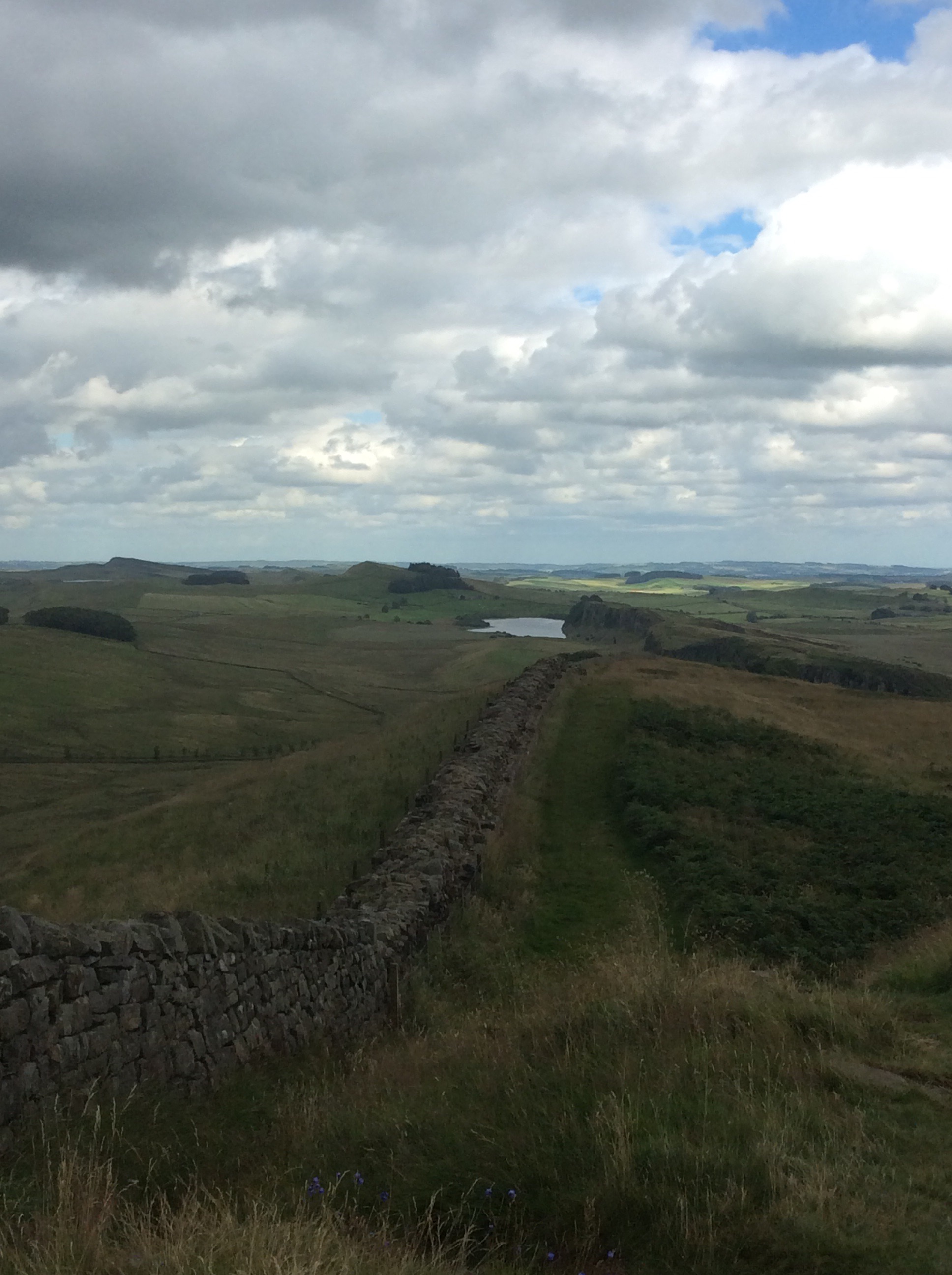
After hours of slog, with wet feet becoming blistersome, the lake below Hadrian’s Wall came into view.
The wall decorated the top of the escarpment it’s built on. An intriguing and enduring display.


There are gaps and I passed through one, looking southward.
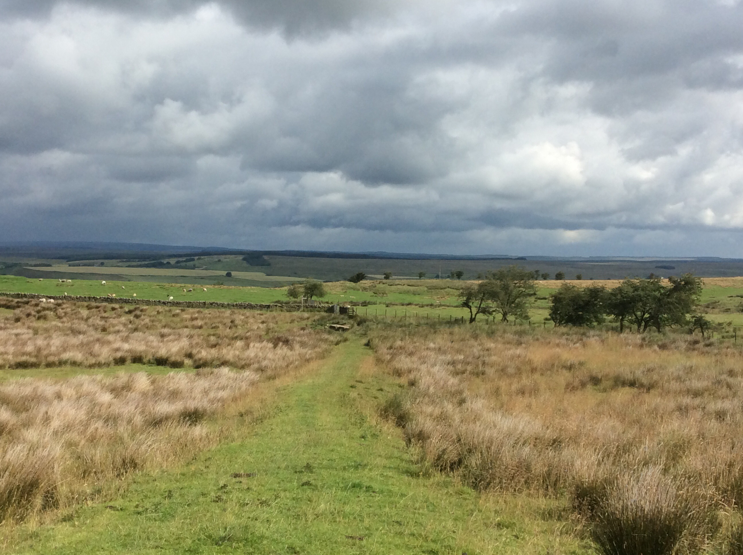
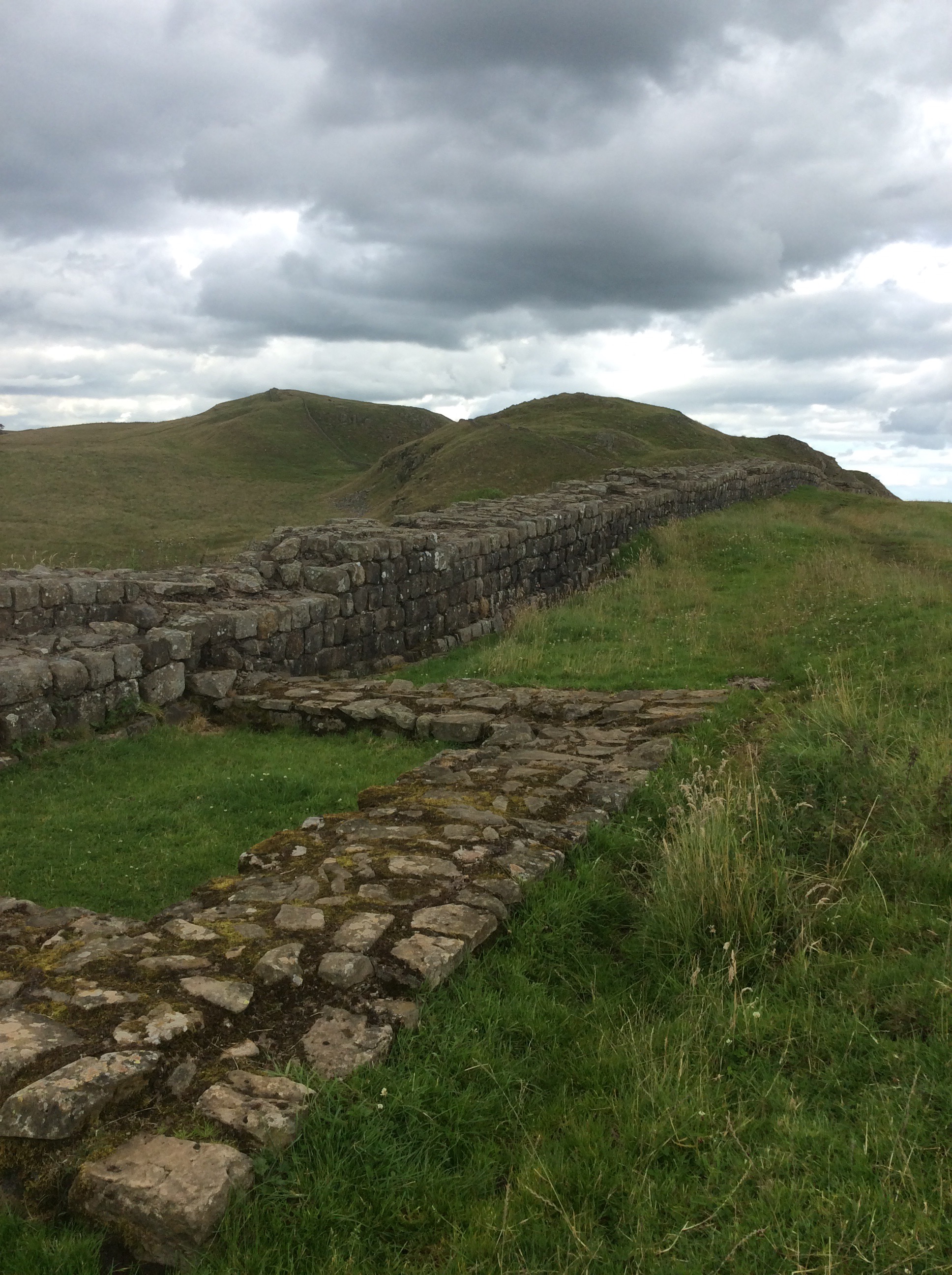
Then I had a ten mile walk westwards alongside the wall. There were some great views and I’ll just share a few without commentary.
It was getting late and Maggie rang ahead to the guest house to let them know I’d be late. I was camping in their garden for £7. I legged it as fast as my sore shoulders, legs and soles of my feet would allow, turning up just before 7pm. Pitched the tent. Pub beer and burger. Booked myself in for breakfast tomorrow as well. Great end to an interesting day. In my sleeping bag for nine thirty.
Night night.
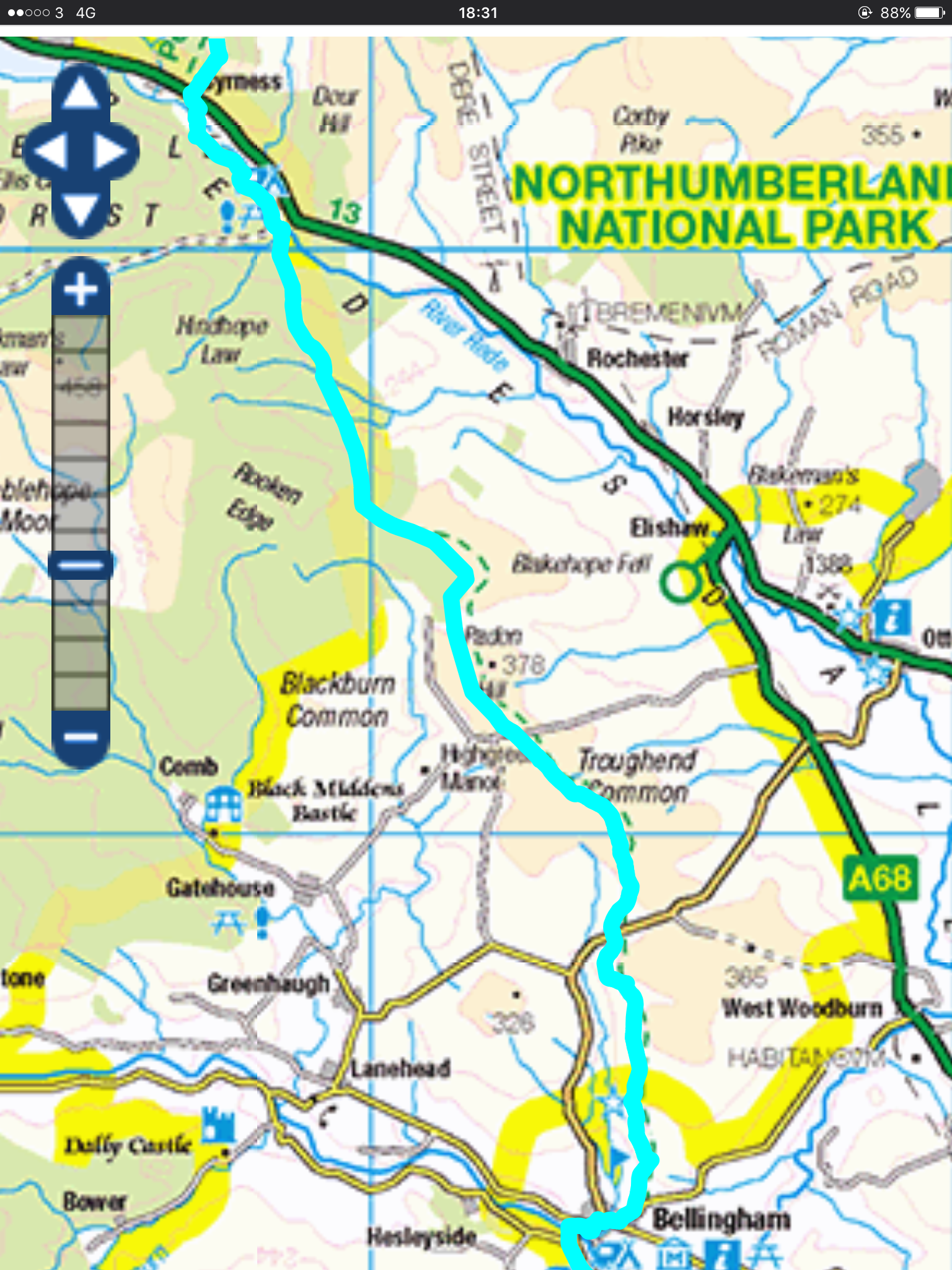
Pennine waterWay – Byrness to Bellingham
Christ it’s rained. These are the routes for the last two days, Kirk Yetholm to Byrness, and today, Byrness to Bellingham.
Great breakfast this morning and fantastic floorshow in the Forest View Walkers Inn. The owner and his wife want to sell, can’t sell and hate each other. She takes it out on the customers, shouting and gesticulating at us like Basil Fawlty. He shouts from the kitchen, so we all can hear it… ” I canna tak much more o this”. Classic.
This was the first step off the road and onto the Pennine Way this morning.
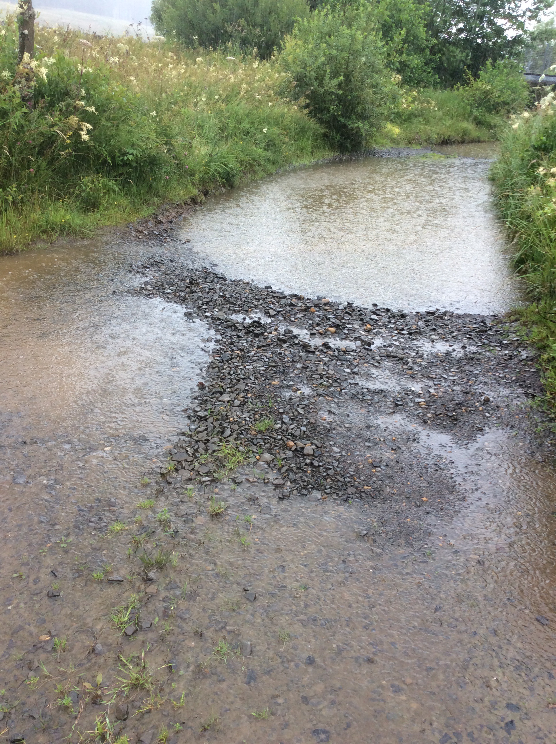
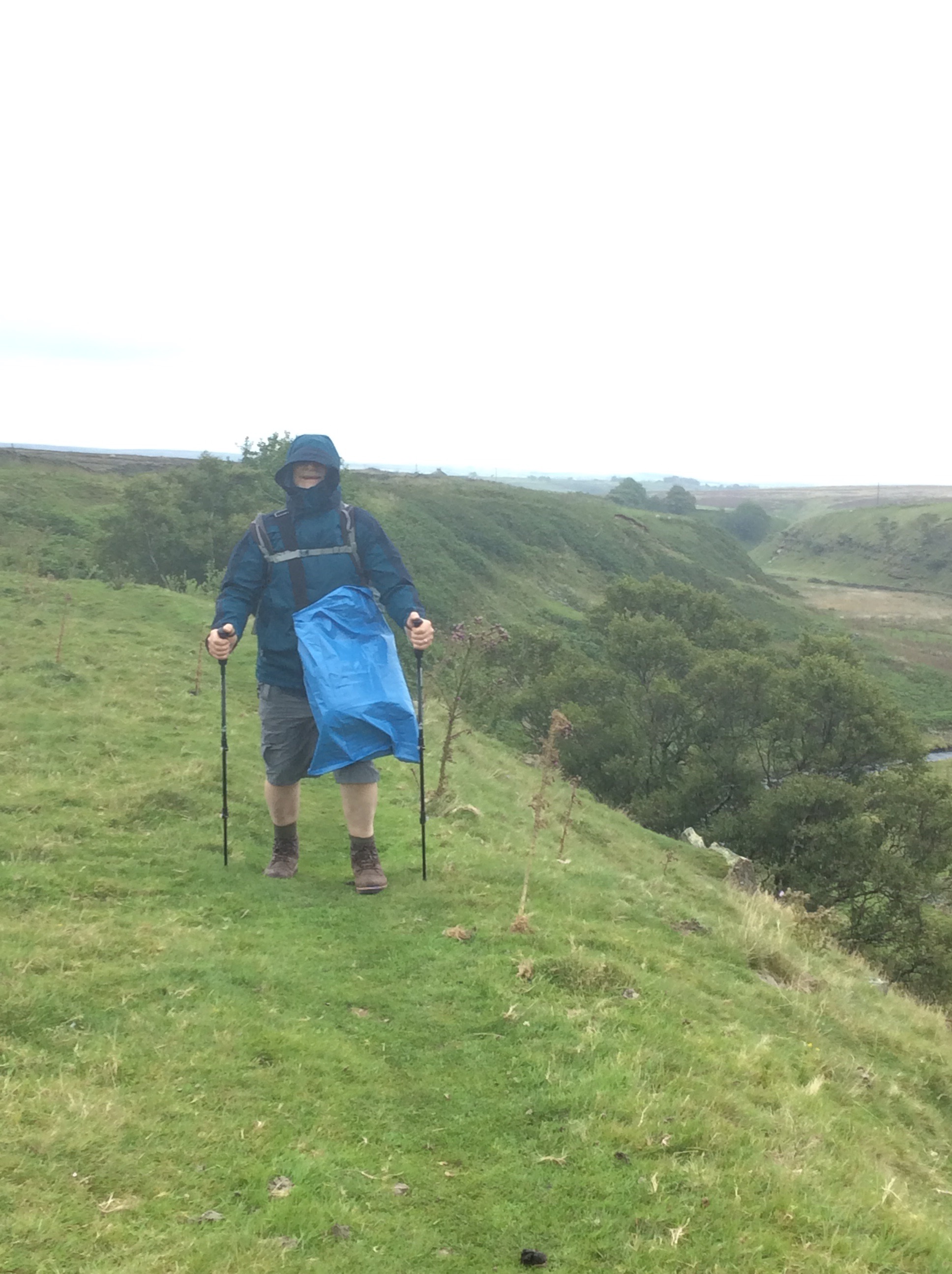
The first five miles after this were ok, on a forestry road with the occasional lorry loaded with thick tree trunks rolling past. But boy how it rained! Very 1950s American.
Boy how it rained! Sure did junior! Yeah pa!
As soon as the PW turned off the forestry road it was clear I was going to get down and dirty.
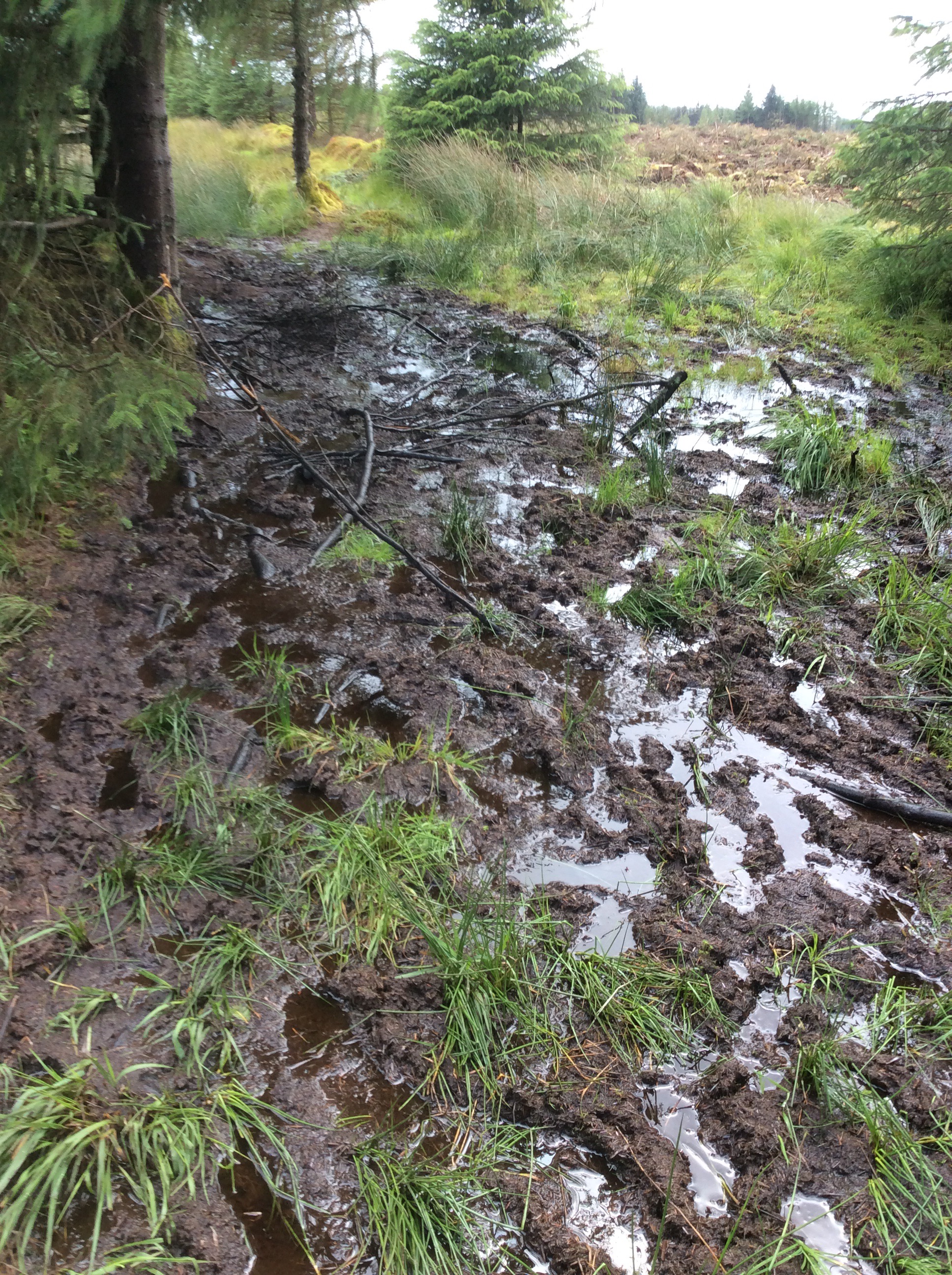
The mud lasted for another 5 miles and there was nobody walking the Way. In the end I met one other person all day. The wind was cold and was whipping through, the rain was coming in heavy bands and this Amazonian woman in all black shorts and t shirt strolled down the hill towards me. Relaxed as a Rastafarian on a hammock in baggy trousers smoking ganja. She looked like a rugby player and she was a really nice young un. Hard as nails. She was aiming for the refuge hut I stayed in two nights ago. Good luck to her. Judging by her accent she was a Kiwi. Greatest of respect.
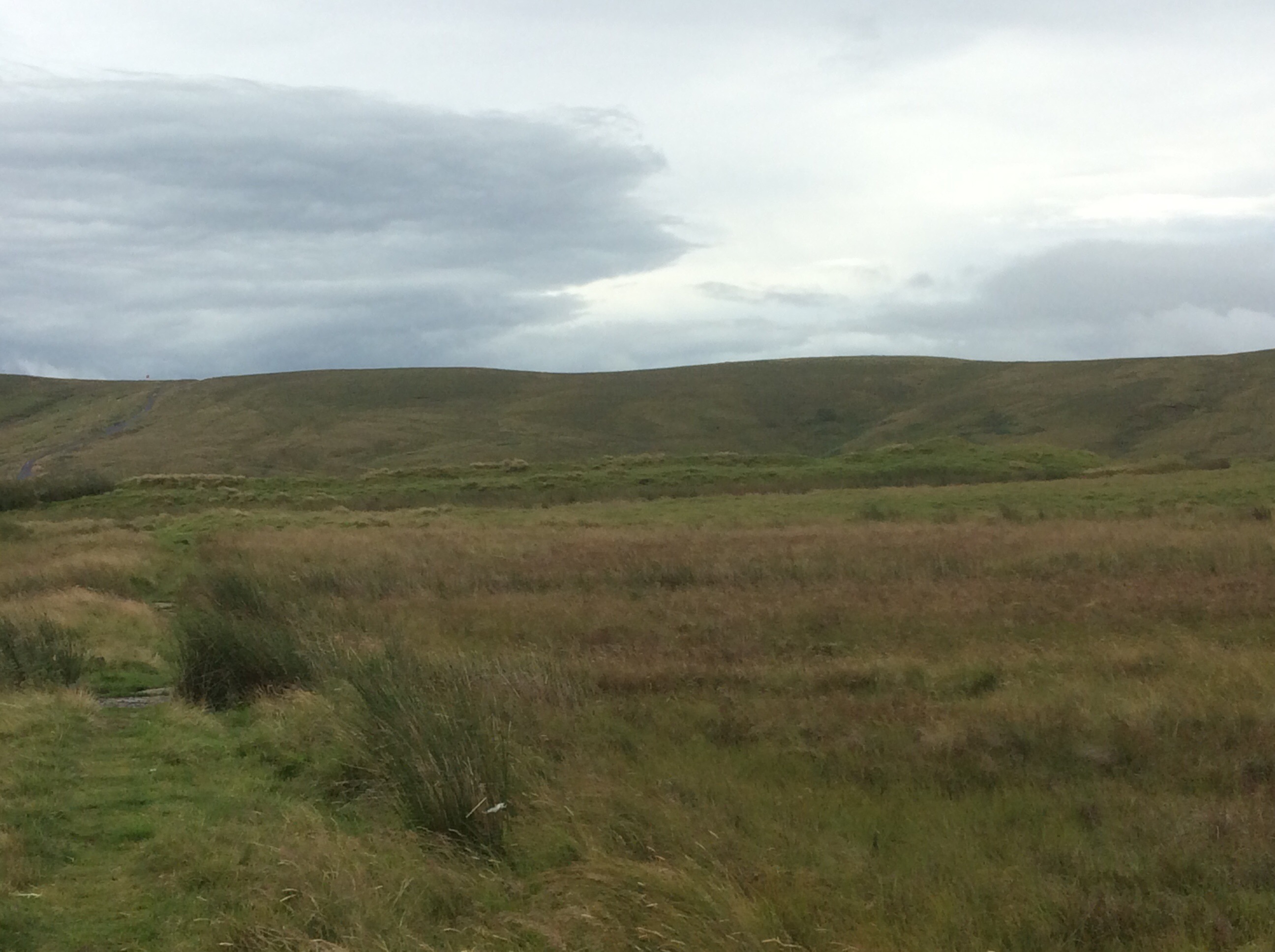
When the hills started rising up the mud cleared up a bit.
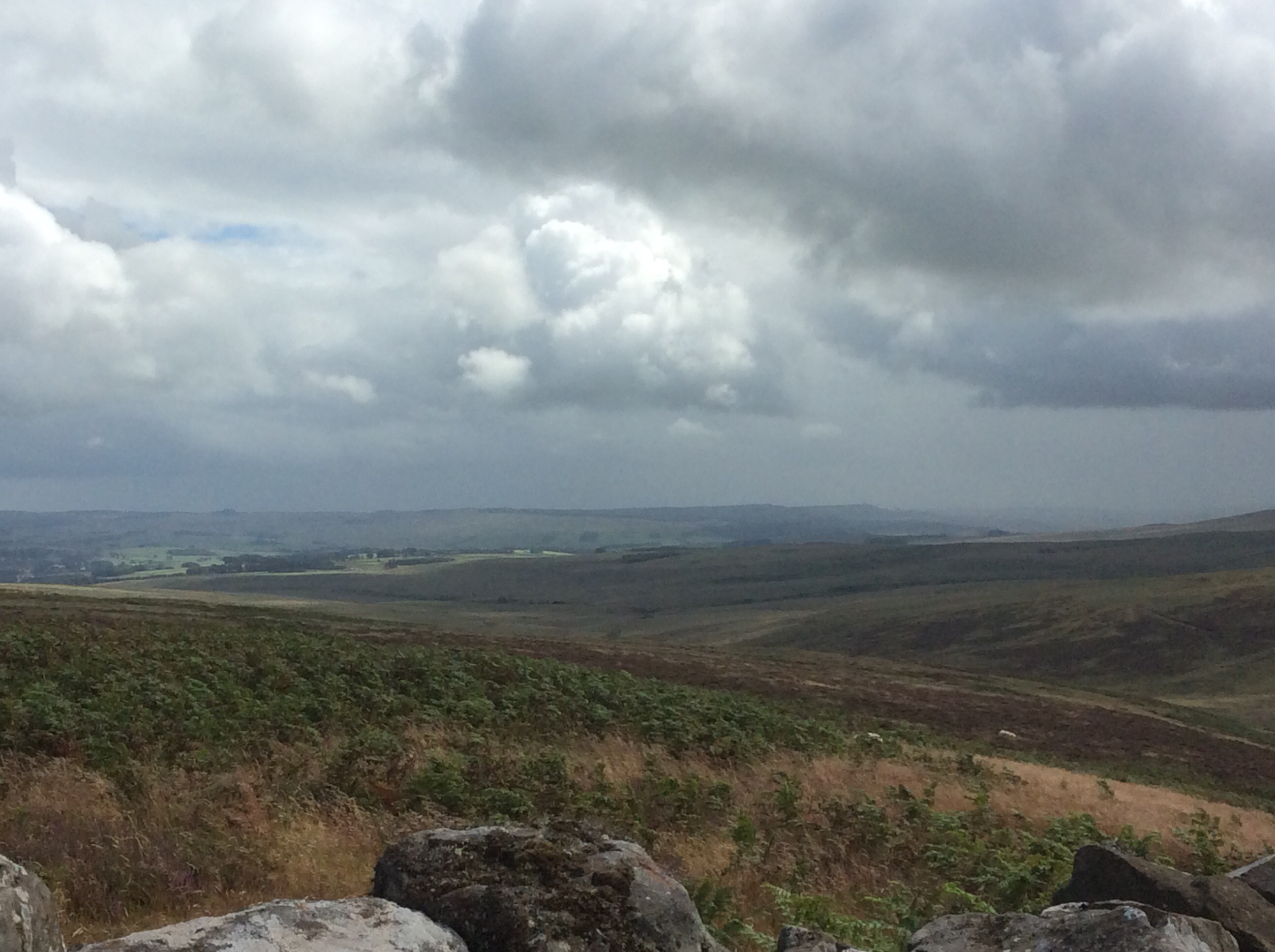
And the weather varied from rain to clearer (not shine) and back again. The featureless harshness of the borders was slowly giving way to Peak District/Yorkshire Dales type country below me. But up on top it was getting difficult to follow the Way. I needed my GPS to keep on track. This is the track that, apparently, 10,000 people come through every year. Yeah right.
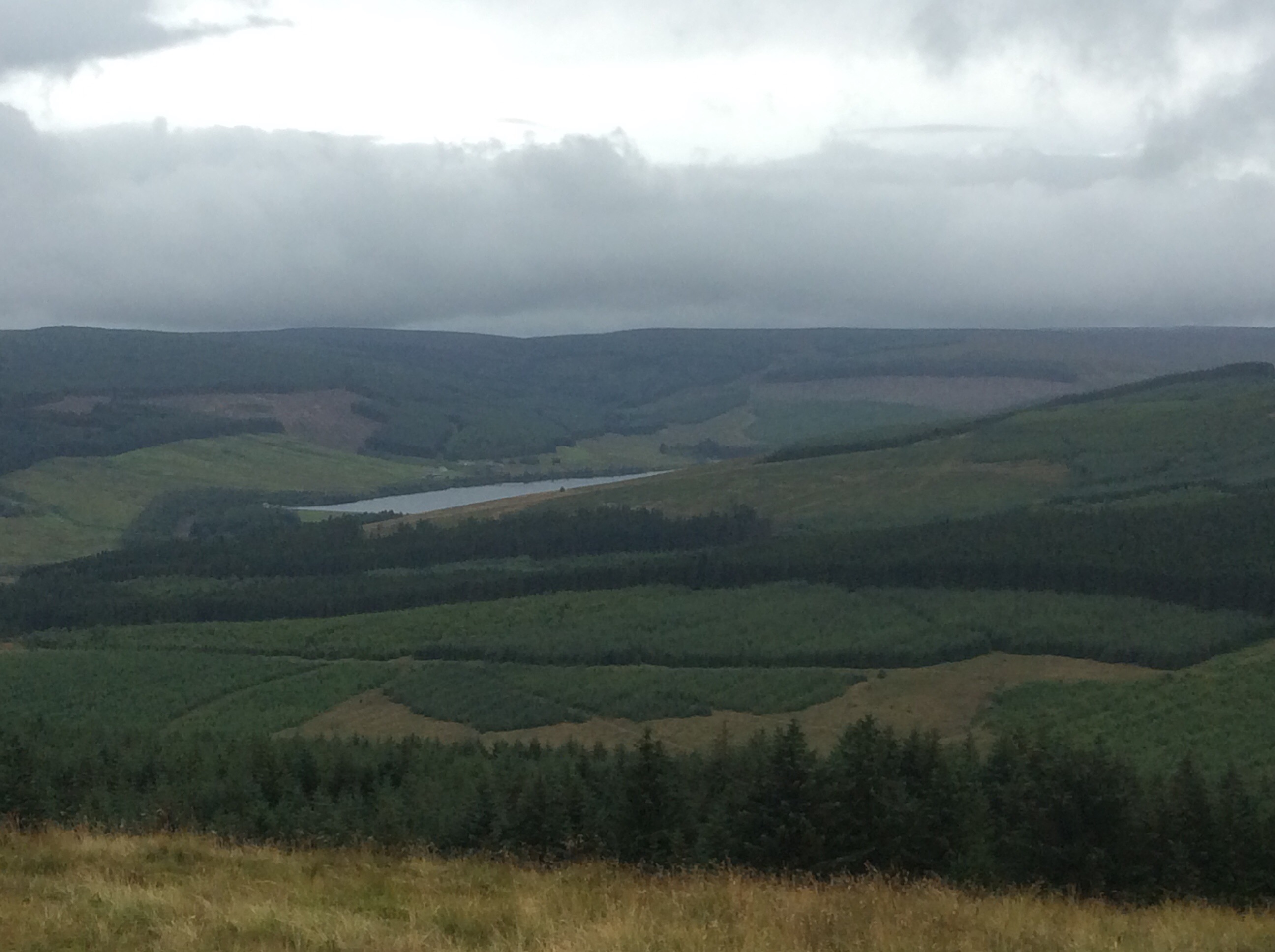
There was a marked deterioration in the Way signs, and then Bellingham appeared below.
It’s a nice village, sheltered from mobile phone signals and busy with tourists. The capital of the North Tyne. The campsite isn’t flooded. I’ve put up ma tent, had a couple pints, bought some dinner and breakfast from the bakers and the co-op and I’m leaving this pub and going back to the site. My tent is waiting for me. And it’s twenty to seven in the evening. Early night. Get some scran and kip. My face is burning with the wind and rain. Even the ground will feel soft once I hit my sleeping bag.
49 miles gone, 229 to go. That’s nearly 25%. Is that a fifth Bavs? Loving it.
Night night.
Lamb Hill to Byrness
What a grotty night’s sleep. Grotty. That’s a 70’s word, maybe slipping into the 80’s. Anyway the bench was hard, it was cold, empty refuges in the middle of nowhere are spooky and I kept waking up every 15 minutes on the narrow, hard, wooden slab. I also thought I heard people outside in the dark. As if. It rained a lot and the morning brought a cloudy but dry start. Weather forecaster? Cloudy but dry start.
Breakfast was my second can of cold beans and a swig of water. Then getting my wet boots on before pushing off. Grim. Nothing spectacular on this nine mile stretch. I set off at 08.30.
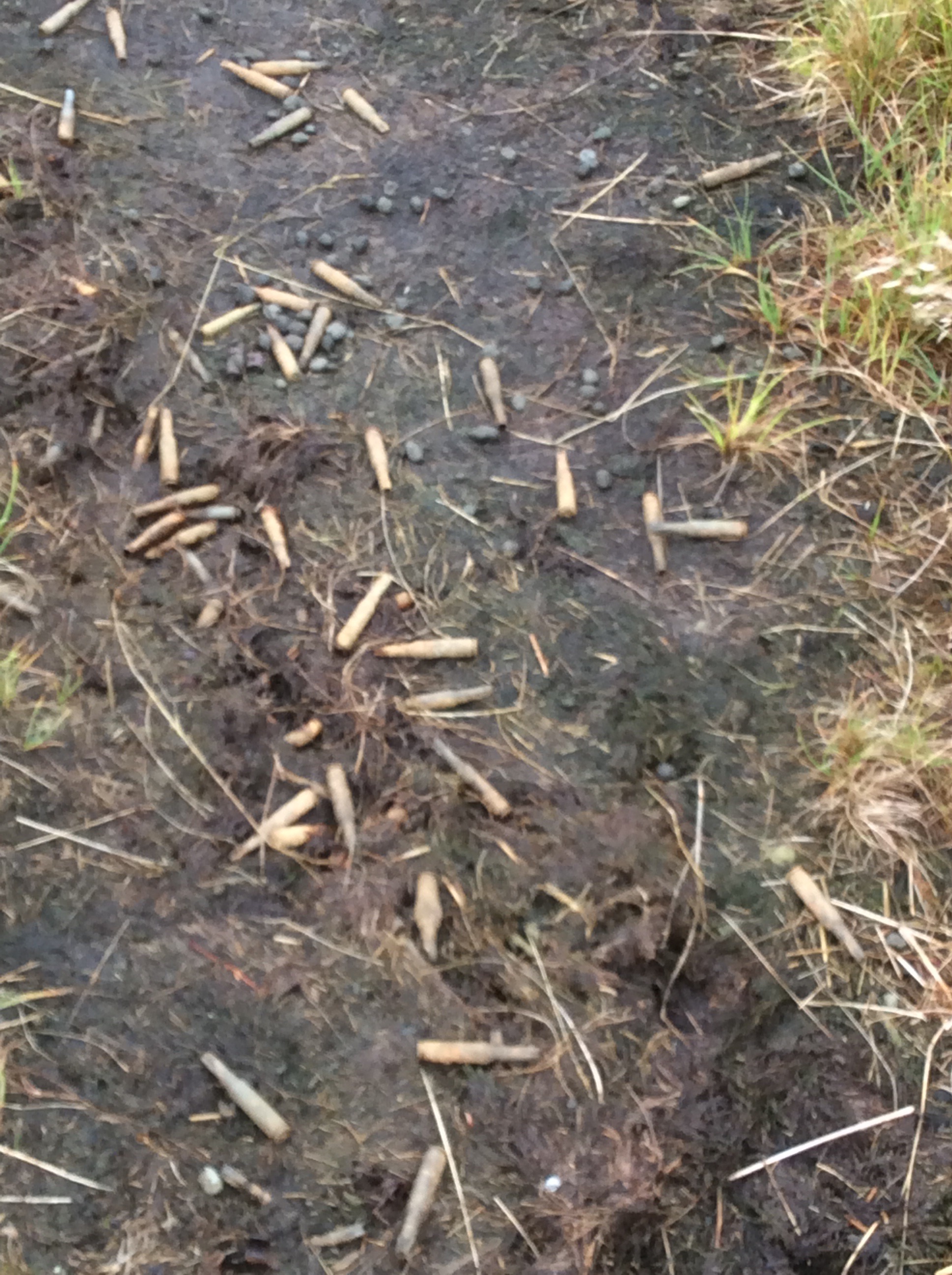
Rolling hills and deteriorating weather, without the very strong wind from yesterday. The army has training in this area and three lads with a trainer ran past me carrying heavy packs and machine guns. They must have been on officer training because they all said good morning. They also use this area as a firing range and they leave the empties lying about.
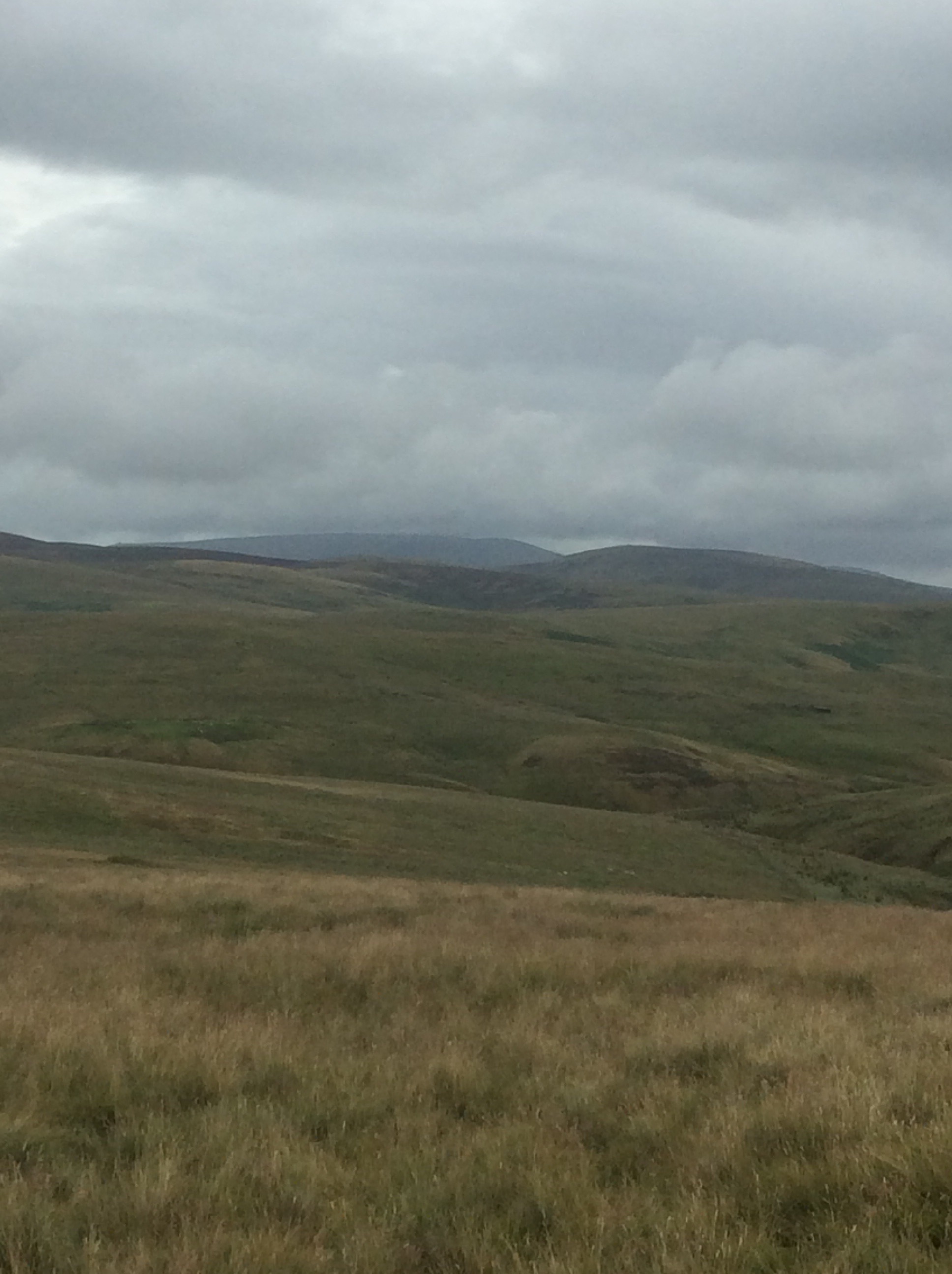
The mound in the near distance is an extensive Roman camp that must have been the worst posting for a Centurion. Cold and miserable. And that’s just the locals.
Over the last ridge the Way began to descend, with decent views; but by this time it was raining hard again.
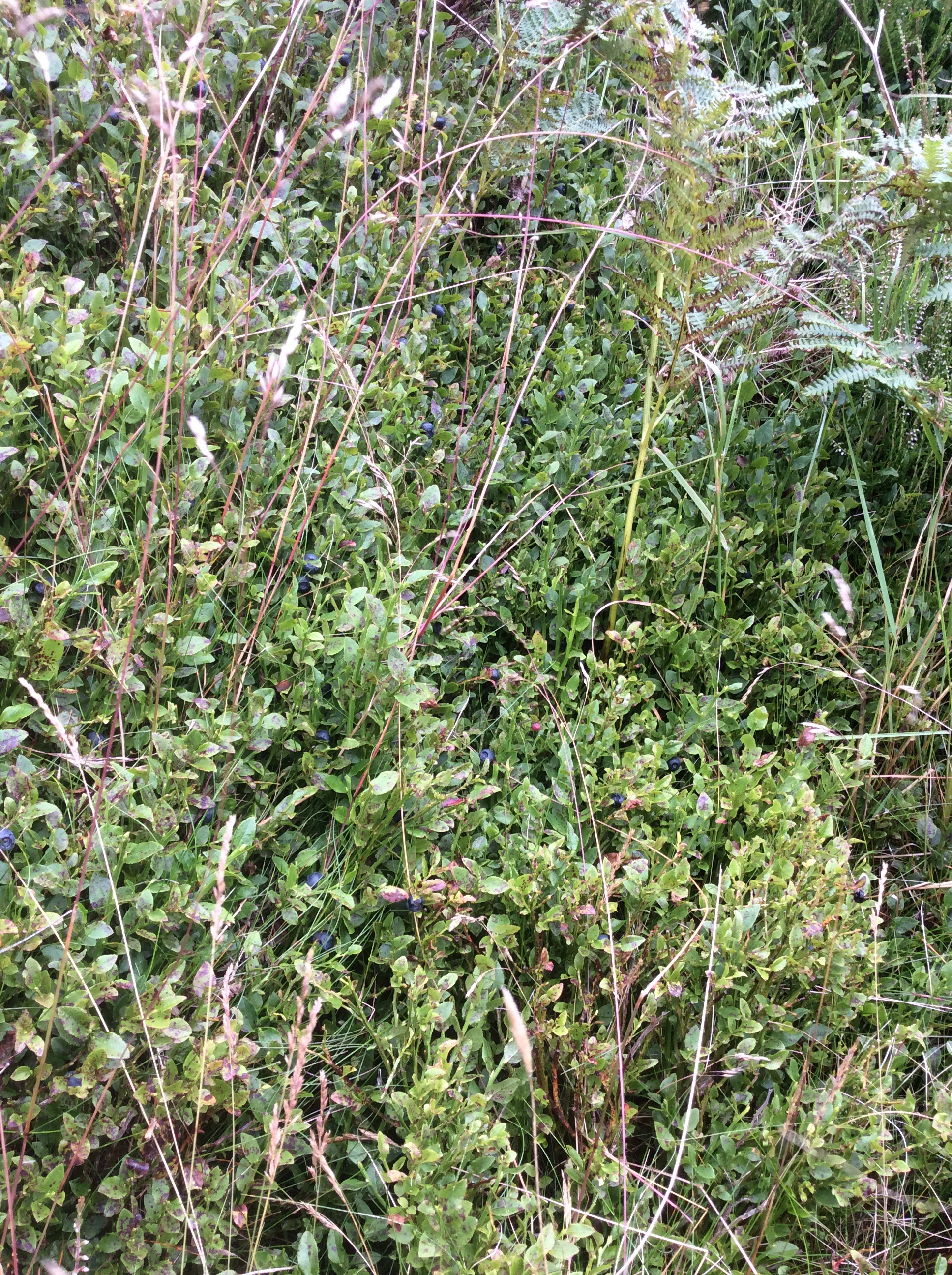
Dropping further down the path becomes a climb down a rock edge. Part way down I came face to face with a patch of ripe bilberries. Sheltered from cold winds and facing south they were ripe very early, and I stained my fingers collecting and eating them. Fantastic.
The path dropped further and became one long mud bath. There were sections where people had slipped and slid down in the mud. Wish I’d seen it. In two spots I slipped but on both occasions got my hand firmly down and pushed meself back upright before going a mucky pisser in the mud.

Eventually in very heavy rain I got to the Inn where my tent pitch was booked. The camping area was flooded. Boo! But there was a bed available in a dormitory. Hooray! But three other people turned up. Boo! But they were in another room and I have a room to myself. Hooray!!!
Night night.
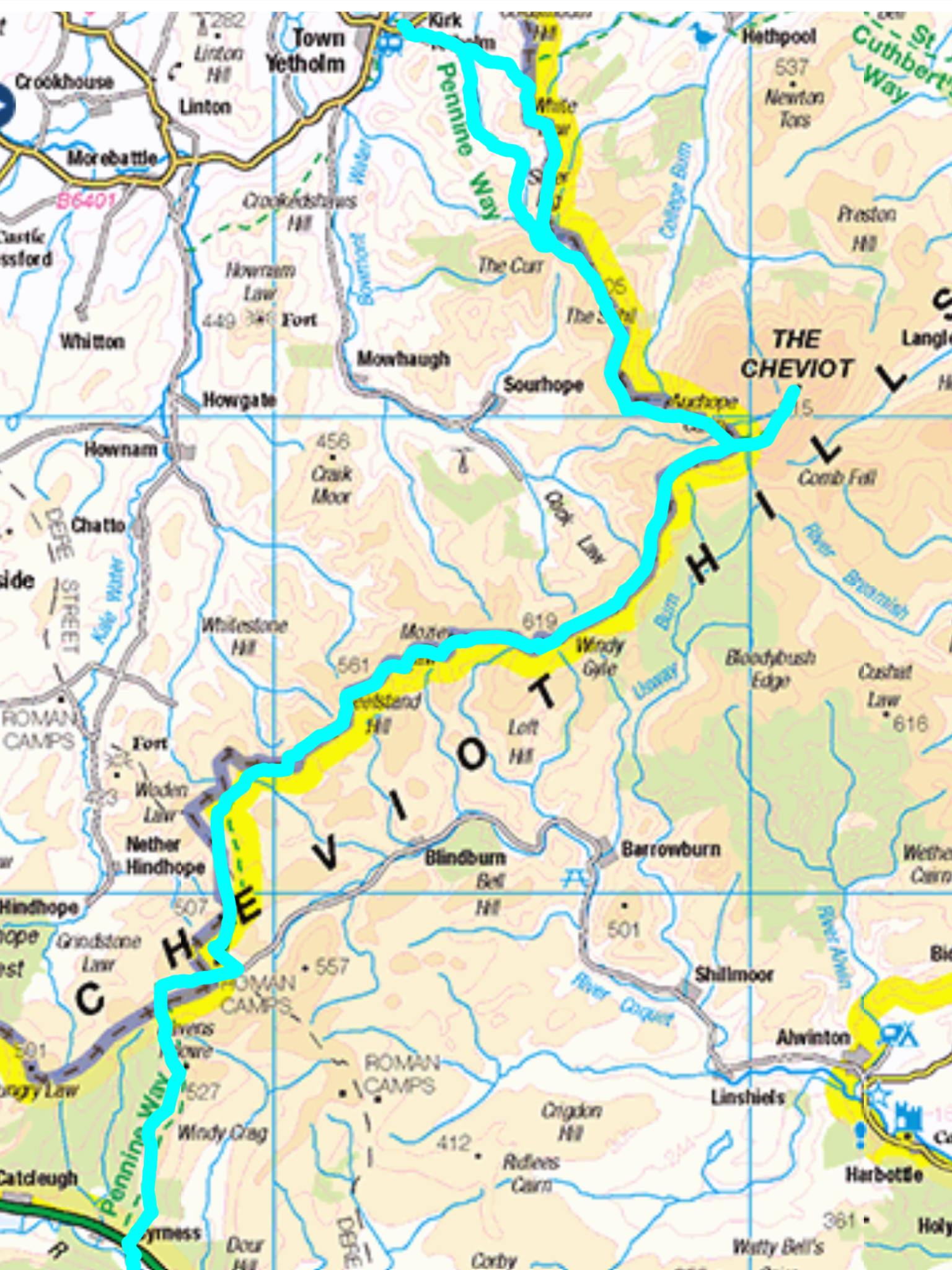
Pennine Wet – Kirk Yetholm to Lamb Hill
Great night’s sleep at Blunty’s Mill in KY with a brilliant breakfast cooked by the owner Charles. Nice place too, all to meself.
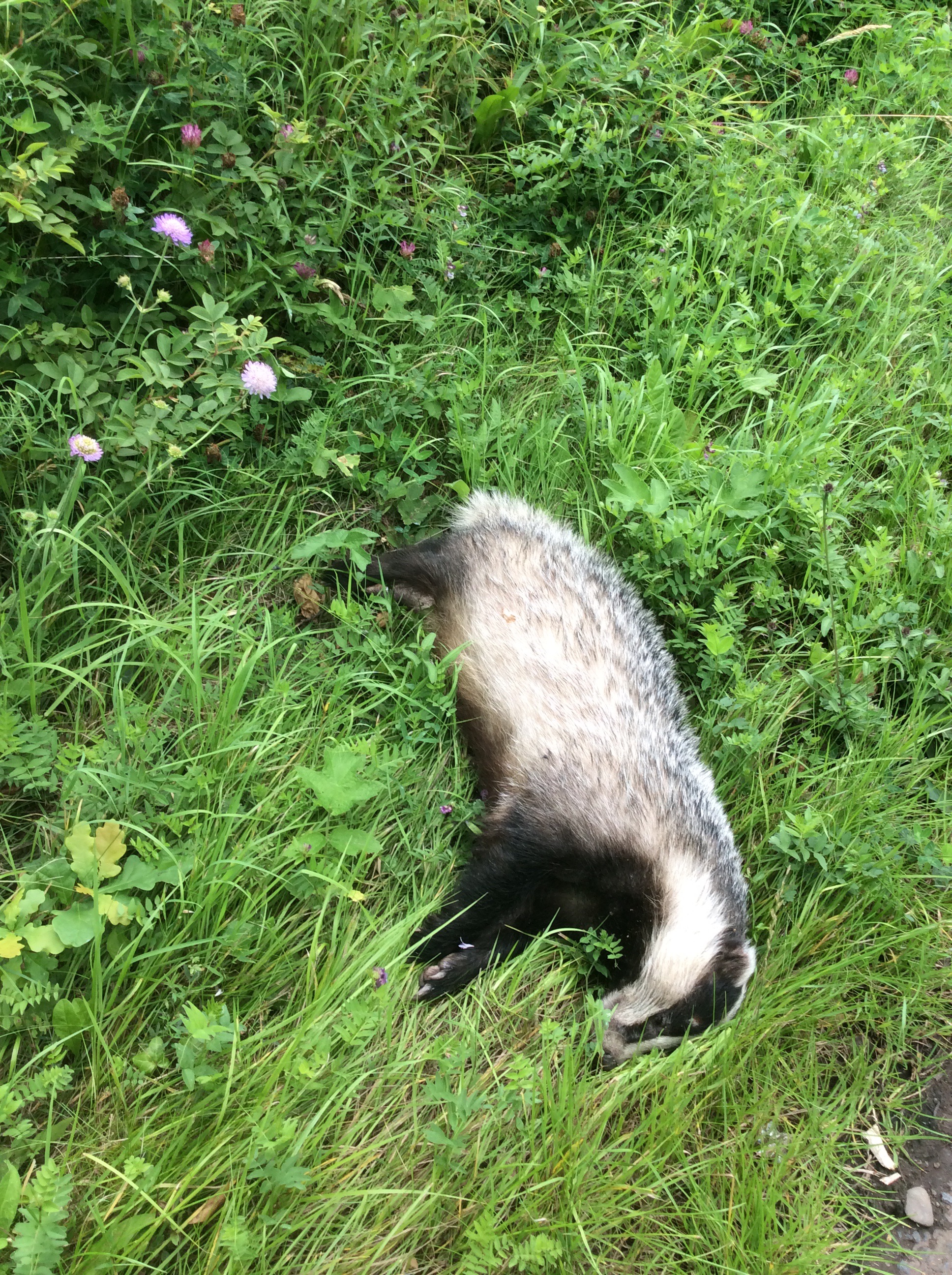
Not as good a sleep as this badger though. Didn’t even wake up when I prodded him with me boot. Lazy budger.
The morning was overcast as I took my first steps on the PW. Today will be a good one for initials.
The first few miles were country road and track, during which the main Way peeled off uphill to canter over mountain tops. In view of the low cloud and high wind I thought the lower alternative route made more sense.
The route soon sprang uphill and the wind grew stronger and wetter. The rain felt like small pellets peppering my face and exposed arms. I had my Swiss army waterproof coat on and it has holes where the sleeves should be. But it covers me and my rucksack so it’s great. In fact it’s a great coat. Boom Boom!
The route crossed into England and back to Scotland, and in this photo I’m in both.
The first peak was The Schil, regarded by many as the most beautiful hill in the Cheviot range that separates the two countries.
It was a struggle and the weight of my rucksack was slowing me down. The highest hill is The Cheviot itself which is around 2,300 feet but it was hiding in cloud, which was blasting through the valleys and over the tops. Under foot it was becoming increasingly boggy and although some sections were marked out by stone slabs some of these were under considerable water too. My feet had taken some boggy dunkings and my boots and socks were filled with muddy waters. Hello Muddy!
And still the clouds came as the route switched round to the west to follow the ridge of hills at their highest point. I met four people all day. Most people do the Pennine Way, sorry, PW, south to north so I’ll meet most of them along the way as I wend southwards. One of them said he had walked through bogs for 16 days and they were the worst 16 days of his life. Moaning sod. He ought to live in Barnsley.
Windy Gyle is a significant peak, there were signs of an improvement in the weather and sunny Scotland spread out before me.
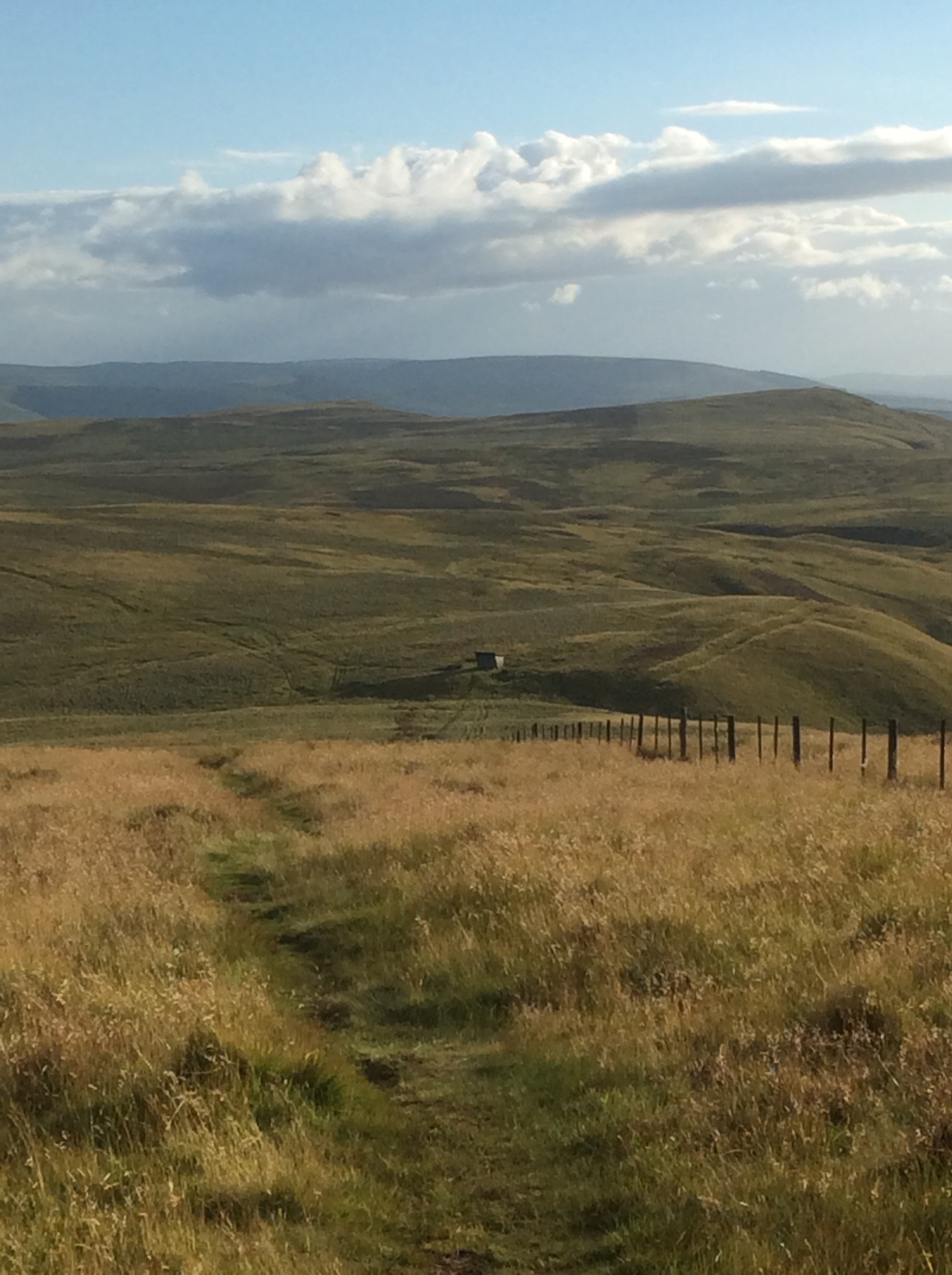
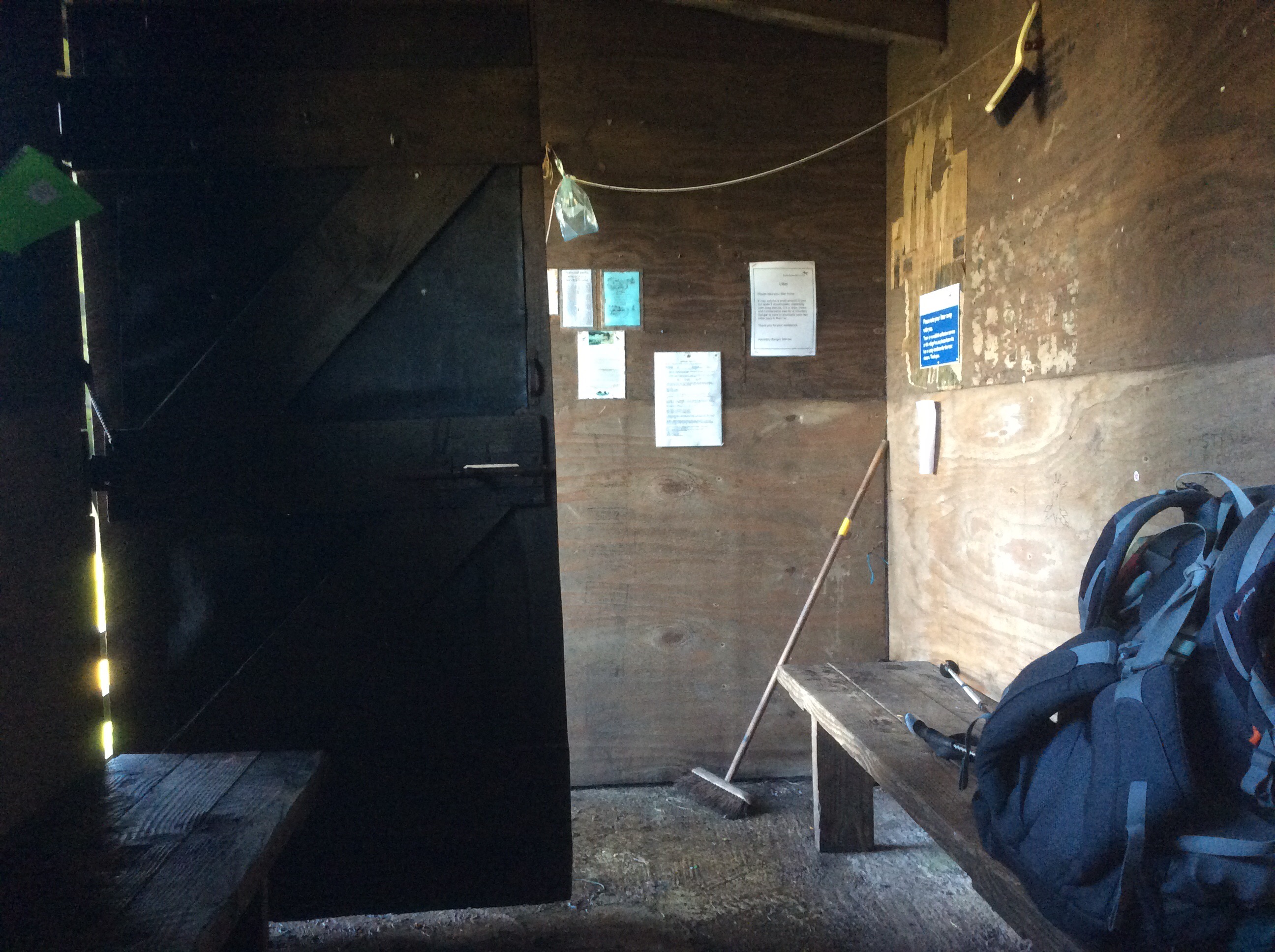
However light my spirits the miles trudged by and I wasn’t getting too tired but it was getting late. My progress was slow. There was a refuge hut at the 16 miles point and I aimed to spend the night there. Here it is…. my hotel! After 10 hours walking without a break. Well, not more than 10 minutes anyways.
And inside it’s a palace. But the benches are hard as concrete and I won’t get much sleep tonight. A cold tin of beans, two tins of mackerel fillets and two mini Bounty bars. Fit for a King.
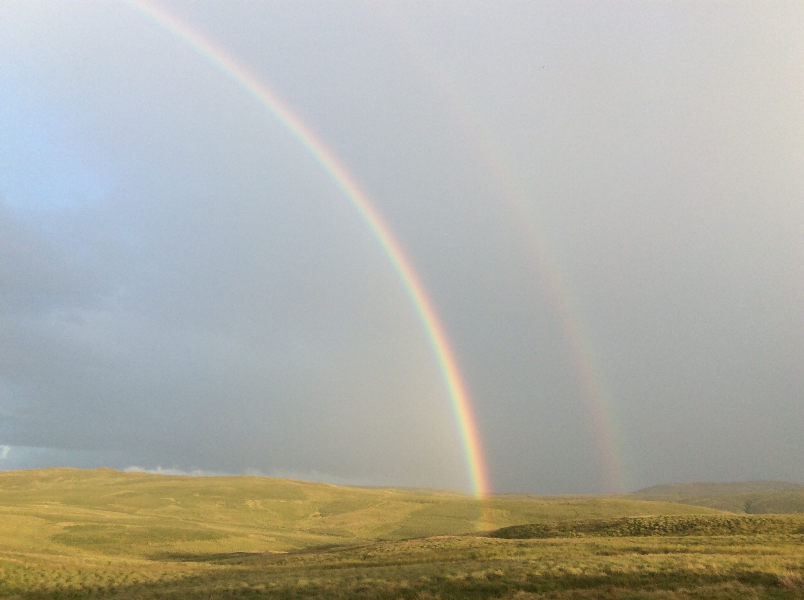
And to make the walk an even happier hike, two rainbows came out to play. Funnily enough I haven’t seen any since sundown.
A shorter one tomorrow. Nine miles to Byrness where I’ve booked a camping spot by an Inn.
Night night my darling missus, family and dearest friends.
